11.31 miles of hiking • 3750' elevation gain • 1 night
Did a loop over Mississippi Head, camped in Paradise Park, then came back via Timberline trail (my GPS track is attached with the hillmap link).
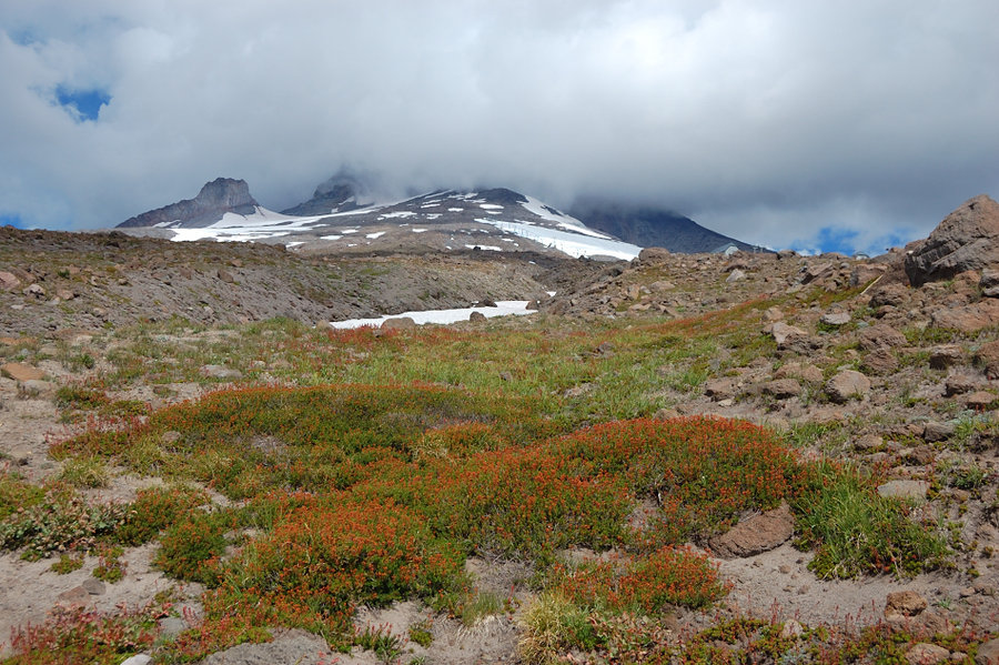
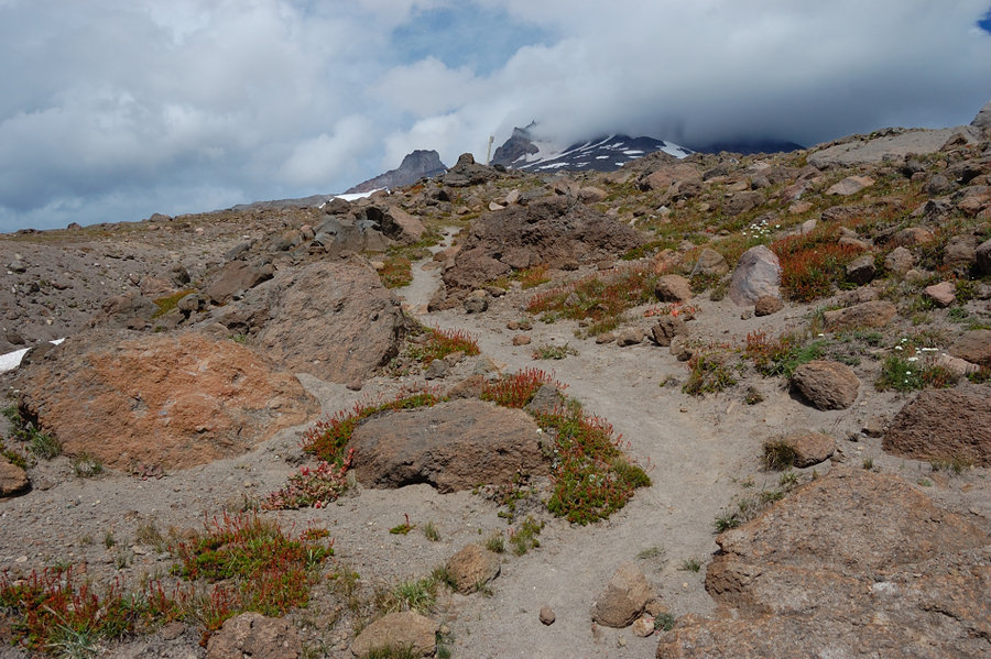
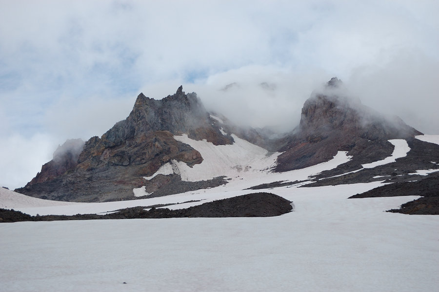
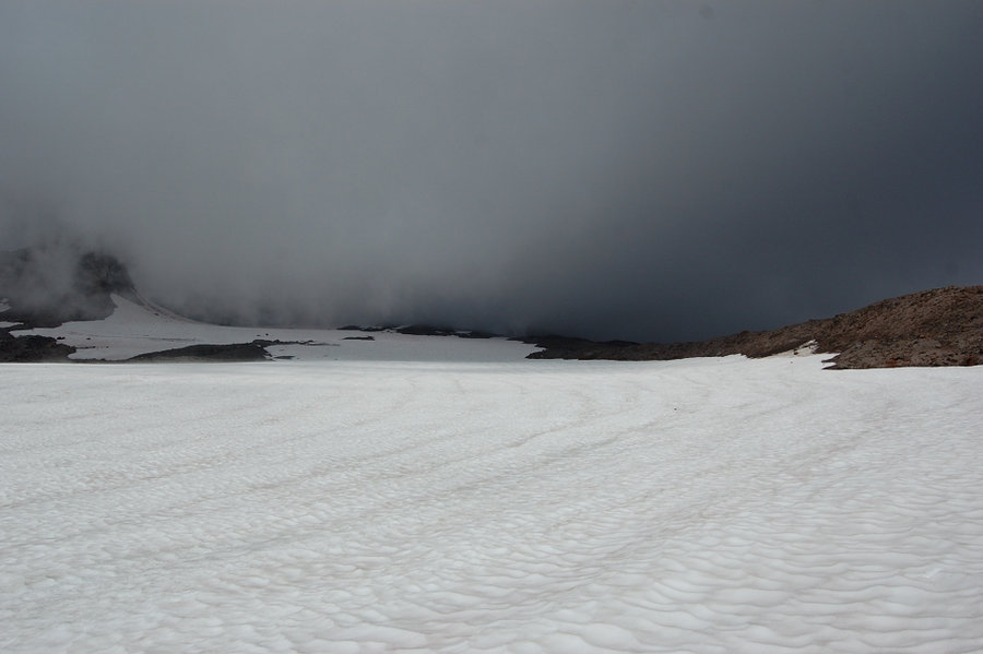
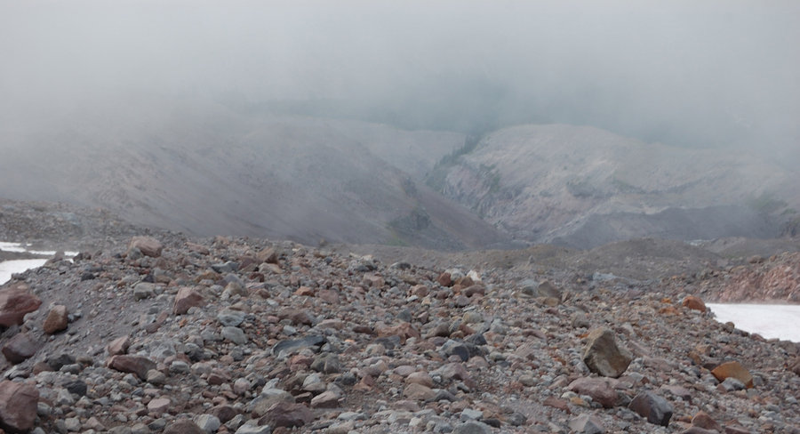
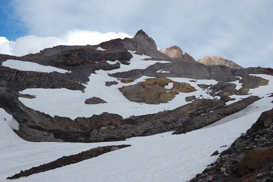
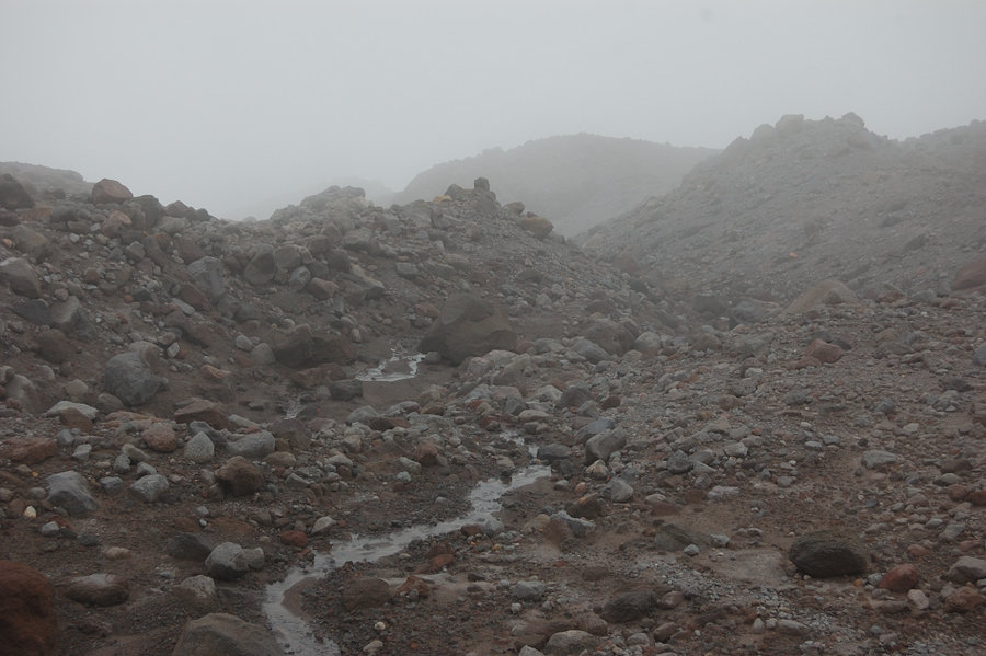
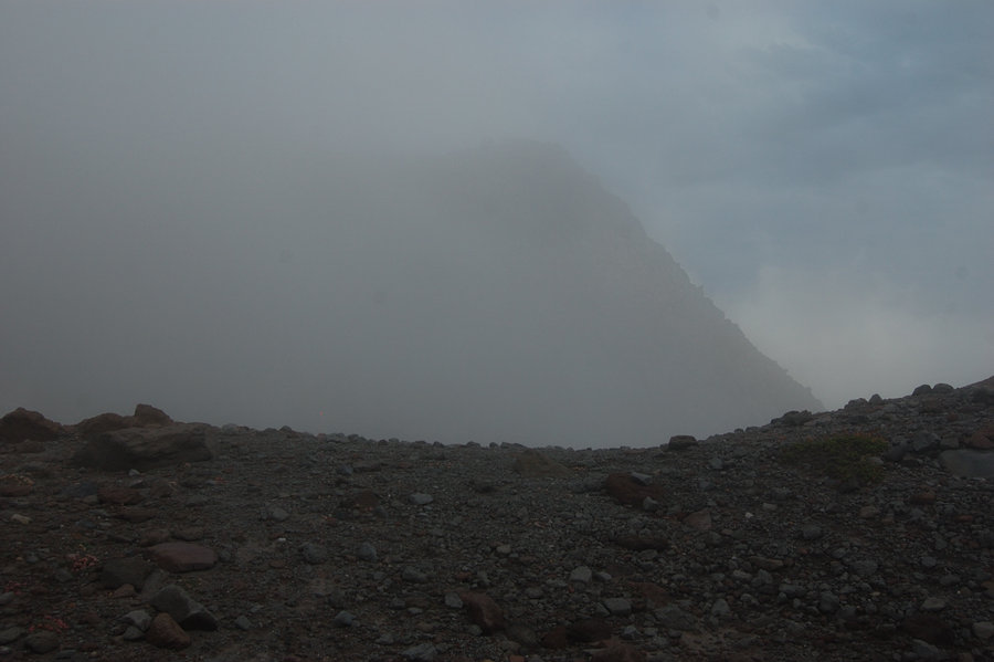
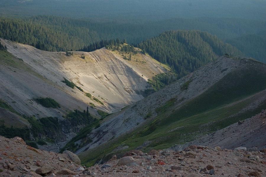
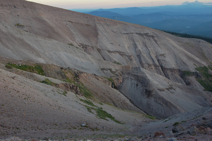
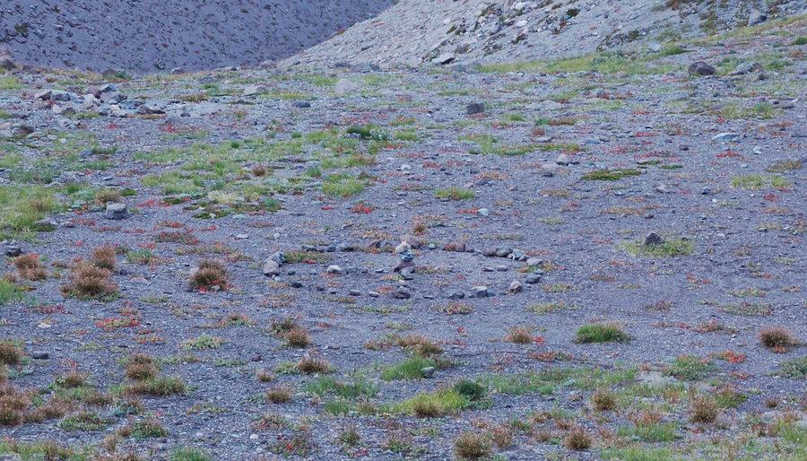
Just as I got around the top of Zigzag Canyon and started down the other side, the clouds moved in and I got a little lost being there first time. I had pre-loaded topo map in my GPS, but what the map doesn't show is the lower part of Zigzag Glacier (below 7800' or so) have mostly melted out, and is now bisected with numerous steep, little gullies, and rocky moraines. I was on the correct way at first, but because of poor visibility I thought the canyon on my right is going into Zigzag Cn. and I'm going to be cliffed out on Mississippi Head. Also, I marked several waypoints to follow on the GPS, and 2 of them were on the opposite sides of that little canyon. I cut above it and tried to descend the other side.
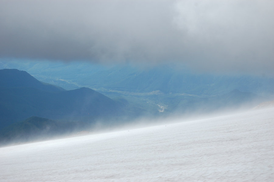
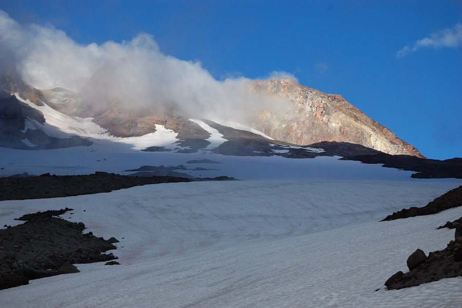
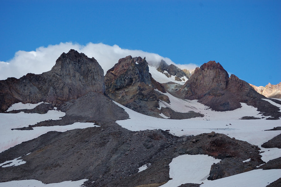
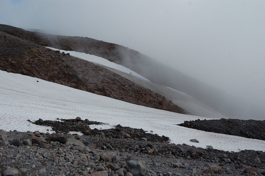
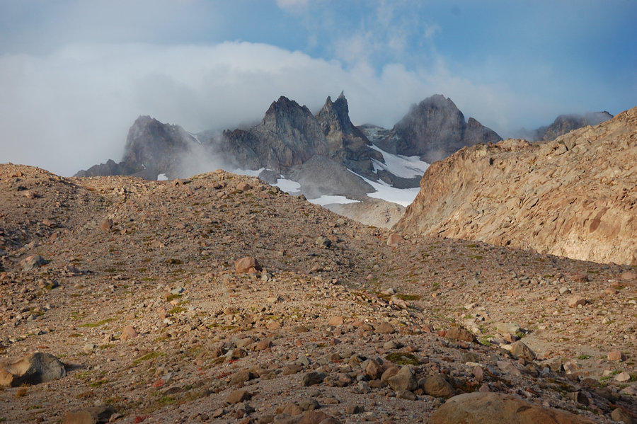
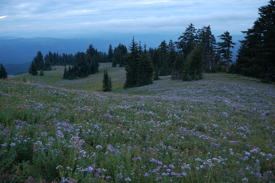
However, these ridges and gullies I tried all got steeper and steeper to the bottom (maybe the height was exaggerated by the fog) and vanished out of view. After about 1.5 hours of circling among moraines or just sitting & waiting for clouds to go, I got back to my original waypoint and crossed to the left side of the first canyon. There, I was able to follow the rest of my waypoints, descending on gently-sloping snow, then a shallow rocky canyon, passed Mississippi Head by 7:30 pm and got to Paradise Park shortly after 8 on use trail. The cloud action was awesome at sunset. There were some great places to camp above the Paradise but there was no snow or water at this point so I had to go all the way down.
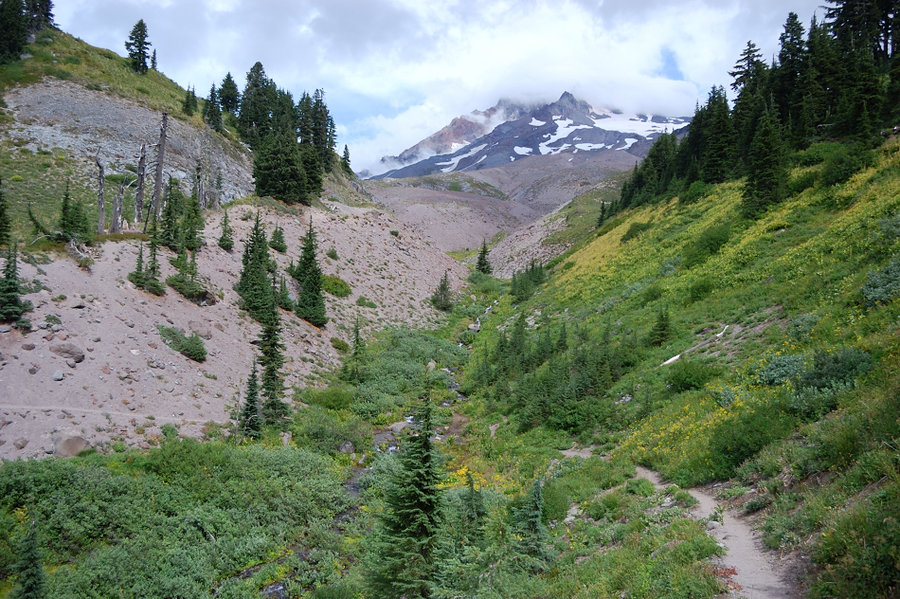
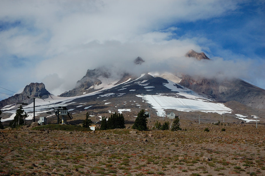
Paradise Park was pretty crowded, even on Tuesday night, but I found a campsite near shelter ruins so it was good. Slept until 10 am, tested my Cat Can Stove, then headed back on the trail. The flowers are still good but on the decline in the Park, and mostly gone along Timberline trail. The top of Hood was in the clouds all day, but that meant cool and easy hiking.