9 miles of hiking • 1250' elevation gain •
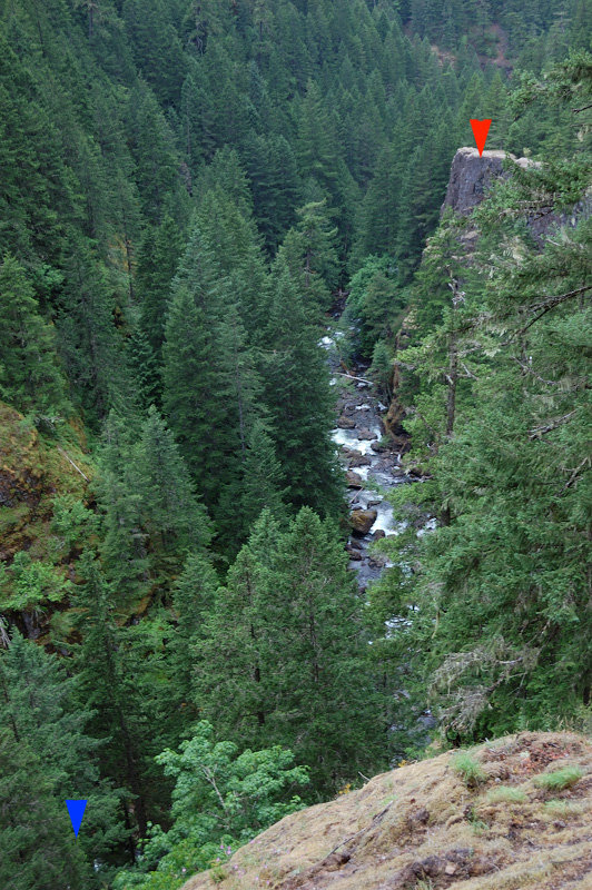
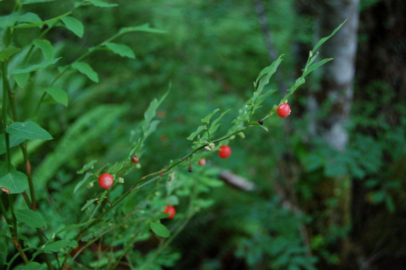
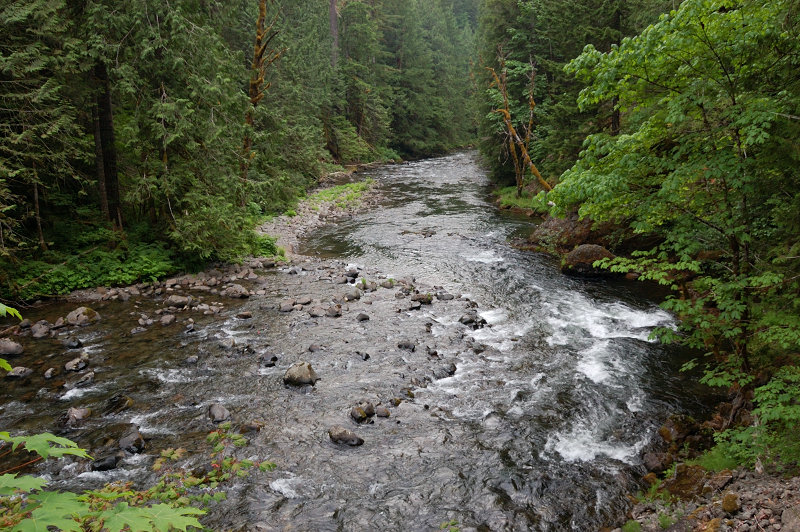
Due to T-storm forecast I thought a canyon trip is in order. Salmon River hike to canyon overlook was beautiful as always, but this time I came with a good topo map to try and find a good viewpoint(s) of the three waterfalls directly below the overlook. Only one of them is visible from the trail if you watch for it, far below and far away.
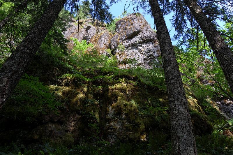
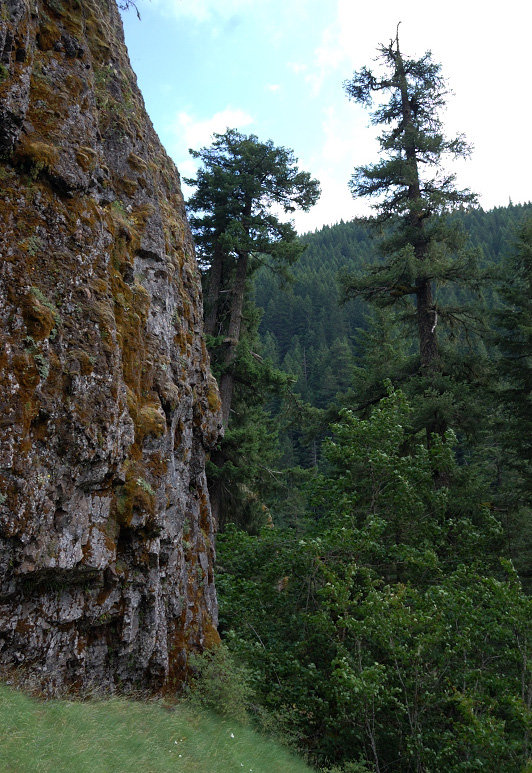
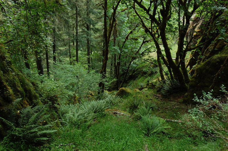
Anyway, I forgot that the bushwhack begins 1/3 mile south of canyon overlook, but after trying several routes we were able to descend straight from the overlook (there's kind of side trail but it ends on the top of a cliff so we went our own way). Cutting off-trail down then south, we found a faint deer trail and followed it on a narrow strip of land between upper and middle cliff band (there seem to be 3 cliff bands) until we dead-ended with no further way. Then backtracked a little and found a passage in the 2-nd rock band, and descended directly above what I think Frustration Falls - could barely see a brink of the falls through dense tree foliage. Spotted a rock fin that would give a good and close view of the falls, but with 2+ hours shwacking in the canyon my dog and myself were getting too tired. We got back up out on barely visible flagged path (saw only 2 flags; with the network of deer trails it needs many more flags to be follow-able); at least I now know where it connects to the main trail.
May give it another try to find the waterfalls viewpoint and hang some flagging along, maybe later in the fall.