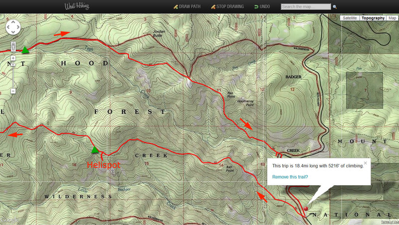
18.5 miles of hiking • 5250' elevation gain • 2 nights
Did a fun trip over the weekend in little-traveled NE side of Badger Creek Wilderness.
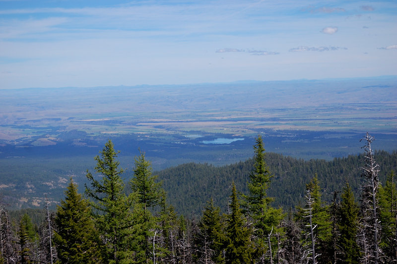
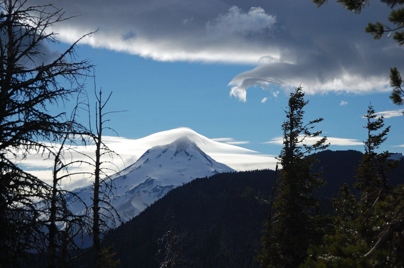
Started Friday pm off School Canyon TH and camped first night near Helispot viewpoint, 3.5 miles in. Next morning, met the only other hiker I'd see in a whole weekend. Broke my camp and continued up School Canyon trail (despite the name, it's 100% ridge top trail) to Flag Point. School Canyon trail was partly cleared of a few blowdown it had last year, up to Helispot. Up from there, where blowdown gets really bad, it wasn't cleared yet - and it was slow going! Visited lookout tower on Flag Pt (this lookout structure is one of the tallest in Oregon) - the cabin was locked but I got up the stairs for a better view of Hood, Adams, and Jeff with Sisters. Then off to Divide Trail, to check if Oval Lake had any good campsites.
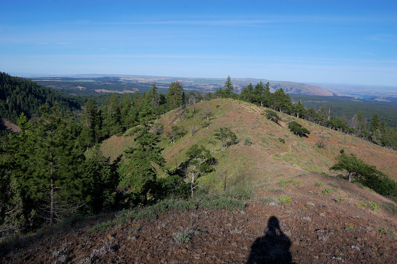
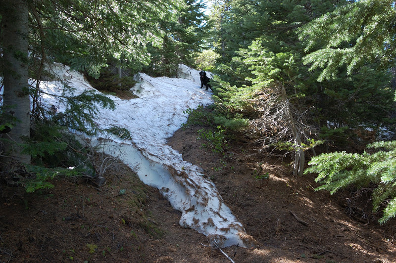
I never found the junction to trail that goes to Oval Lake, either because of still-lingering snowdrifts (it was near 6000 feet at this point), or because I didn't hike far enough. The lake was outside my map range, so I hand-drew a continuation of trail that looked as I had to go about 1/2 mile to the lake; in fact it was closer to 2 miles. Divide Trail was pretty interesting though, with lots of views south and east. I'd take it to Lookout Mtn if I had another day.
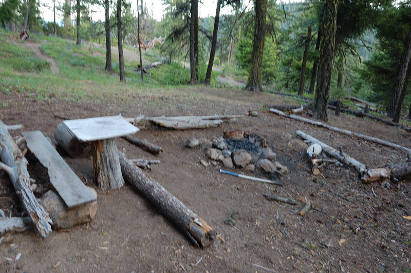
Not thrilled to camp near the road to Flag Point (there's well-established campsite), I decided to start down Tygh Trail until 7pm or so and find a better camping spot. The trail starts fairly steep down, past Sunset Spring (which should be good for quite a while) and some open ridge meadows, but it was too windy there so I kept on. Later on, the trail leveled in blowdown-filled forest, and I finally stopped shortly after 8pm on a small meadow. The second night was pretty restless, since the wind came in strong gusts and there were so many dead trees around. I only heard 2 or 3 big branches crashing in the distance, but wished I'd stayed in a more open area - maybe somewhere a lot windier but where nothing can fall on us. On Sunday, I discovered I camped 10 minutes short of really gorgeous meadows with spare ponderosa pines (and no dead snags). Oh well - next time...
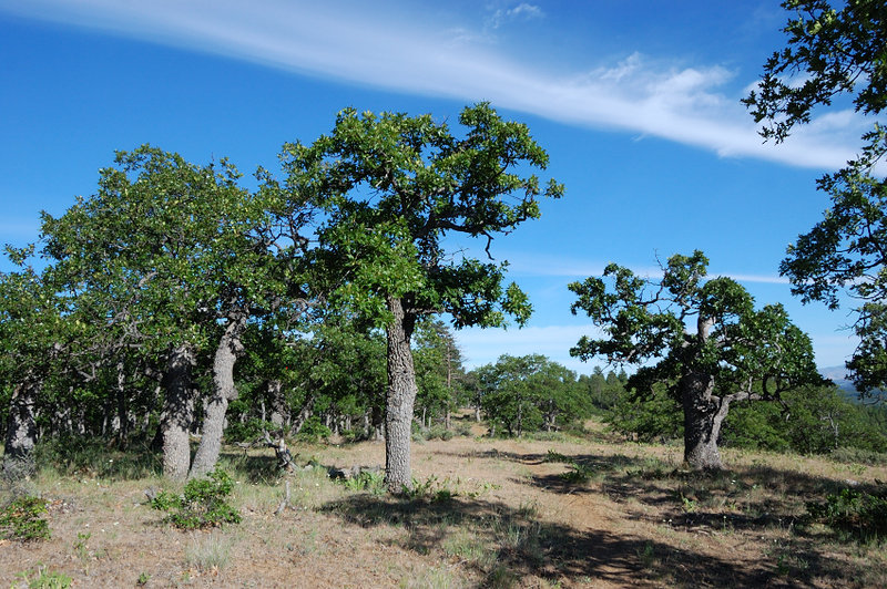
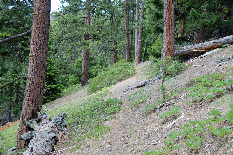
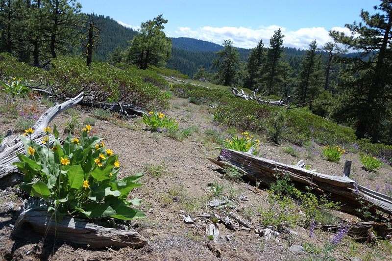
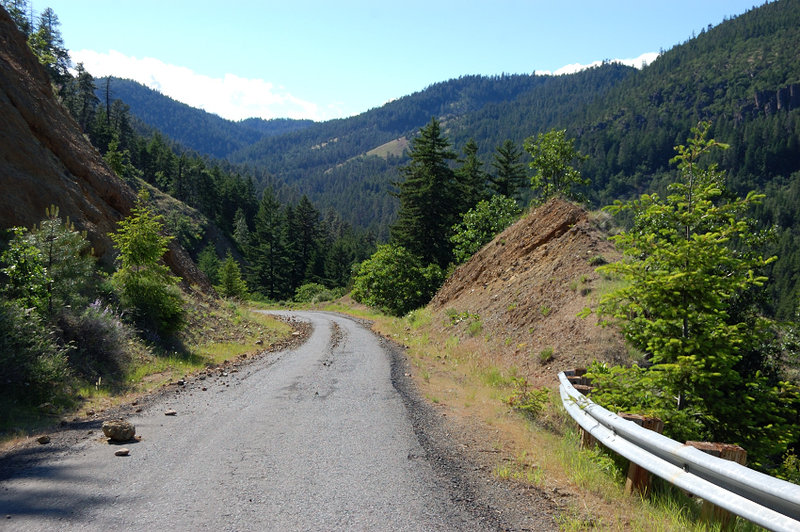
The furhter I went down Tygh trail, the more open terrain became - the lower half of that trail is really nice. Also, I came in a good time for the flowers, there weren't many but they were everywhere, all the different kinds blooming at the same time. The trail goes a few miles to Pen Point on a relatively flat terrain, slowly changing from forest to savanna, and then just plunges down - for a mile or so it's extremely steep, but the views were great. The trail levels off for the last 1/2 mile and comes close to Tygh Creek. Then I got to Rd 27 (one car at Tygh trailhead, probably of hiker I met a day before, since he said he was going to come down this way) and hiked pretty scenic road mile back to my car.