

13.5 miles of hiking • 1500' elevation gain • 1 night
Friday night after work, I left Portland right at the beginning of rush hour, and once clearing the bridge, made my way up 503 towards Lewis River. Plan A-1 was to scope out Mt. Mitchell and see if the snow mentioned in a trip report two weeks ago was still sticking around. I took my chances and drove up to the trailhead, but just through the trees you could see deep snow at the top, and I didn't feel like taking my chances on making my way up, only to not reach the summit, as it was already 7p. To make matters worse, when I got out of the car to relieve two hours of driving, the mosquitoes were out in force. This was not going to happen.
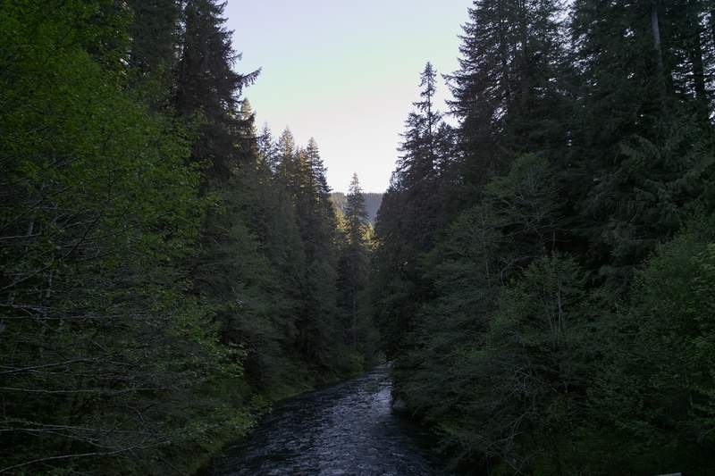
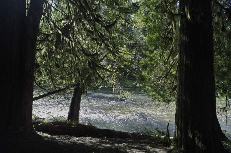
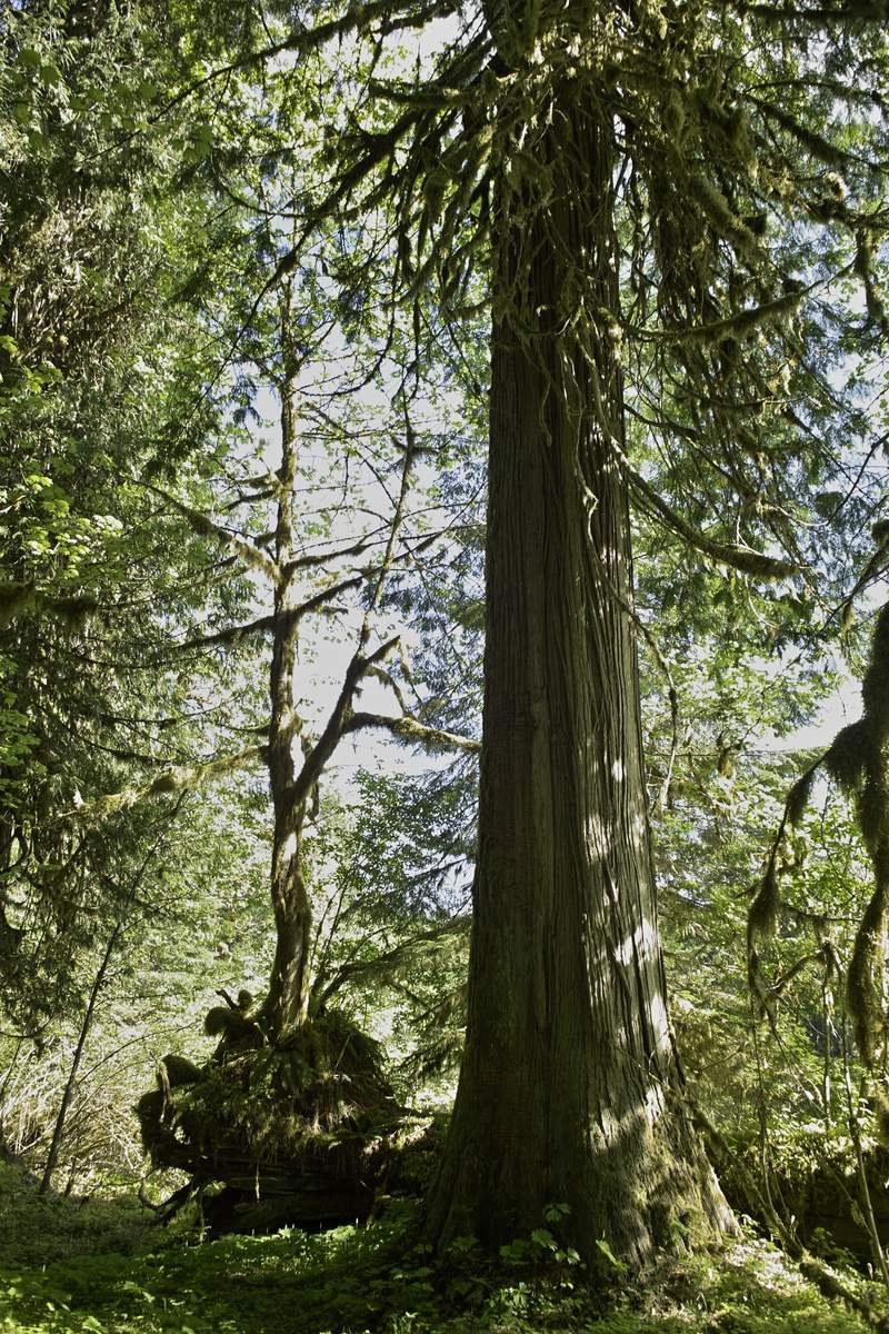
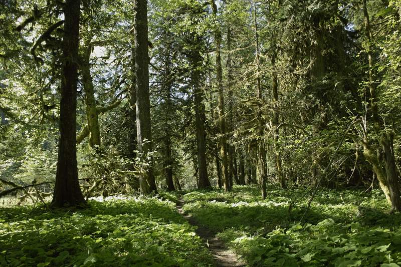
So Plan A-2 (knowing that Mitchell would likely be a bust), was to get a head start on the next day's plan to do the Lewis River Trail, up and back from Curly TH. I parked the car at Curly at 7:30p, and made my way down the relatively flat trail as far as I could before daylight ran out. A few miles down I startled some deer, whose reaction was to dash off into the river. Unfortunately for them, the current was swift and the river was deep, so once they could no longer touch the bottom, they began floating downstream, bobbing up and down, trying to escape the water. I've never seen floating deer before.
I picked a camp about 3.5 miles in (about a mile from the ex-shelter), and got to hanging the bear bag. Bear bags are my absolutely least favorite thing about backpacking. Seriously. About 20 minutes after chucking the rope over the branch, only to have it break or miss, I finally gave up and found a nice branch 10 feet off the ground. If a bear wanted my food, he could have it.
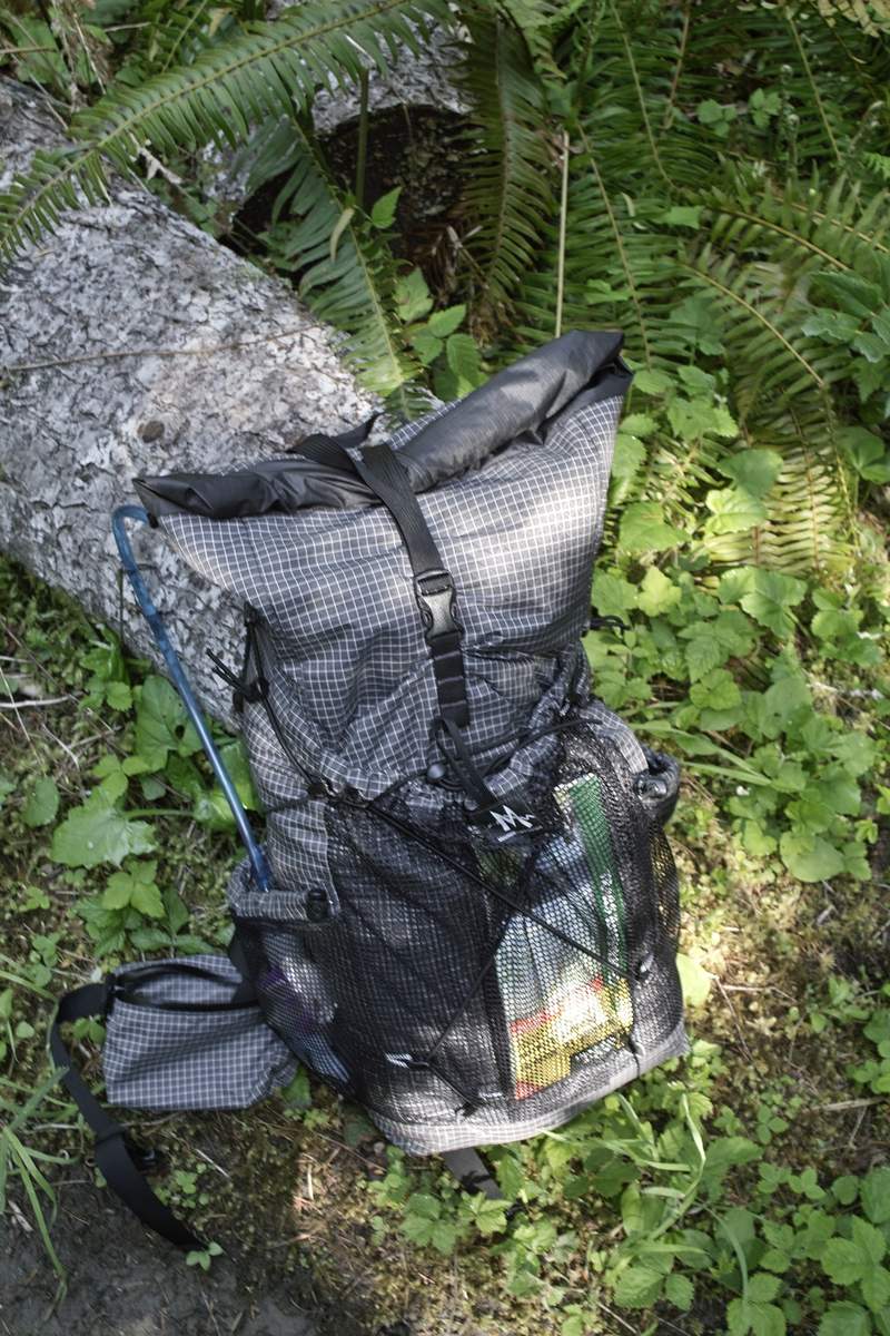
I set up the spinntwinn and bivy, and studied the map, Plan A-2 involved hiking 26 miles the next day - to Upper Lewis Falls and back to the car. While doable (this trail is pretty flat) I wasn't really feeling it, so I started milling over Plan B. After an hour or so more, I had my plan, and went to bed.
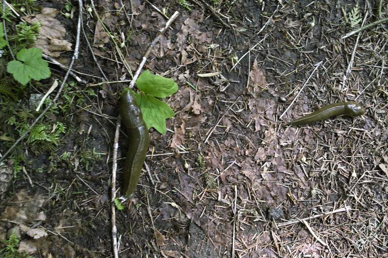
I woke up around 7:30a, and started back for the car. Never have I seen so many slugs - I counted about 10 in 2 miles. I passed the trailhead and went down to Curly Creek Falls right below. Sure, there is a neat rock formation in the middle of Curly, but otherwise it's pretty plain, and the viewpoint is far from the falls.
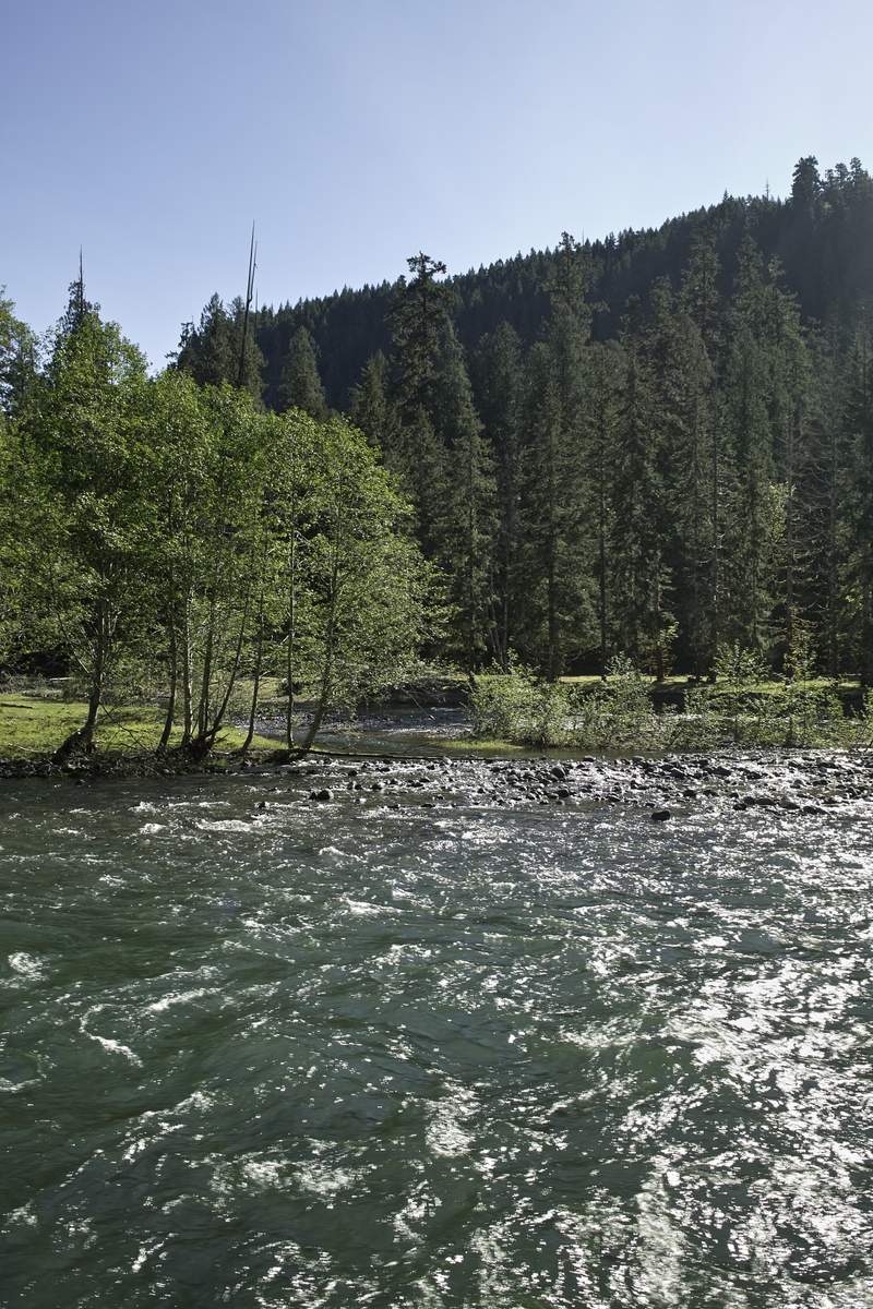
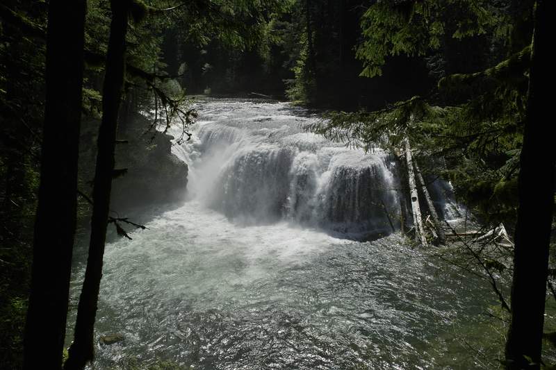
My next stop would be Lower Lewis. I beat two SUVs full of women who screamed Lake Oswego down to the falls, grabbed a few pictures, and then ran back to the car.
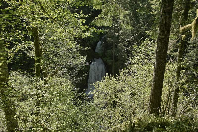
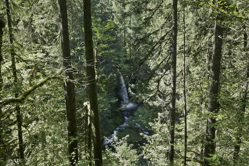
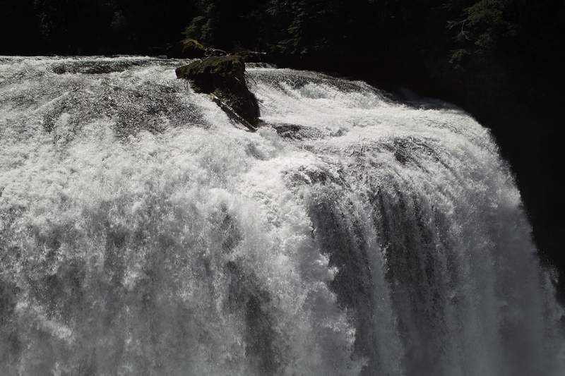
Then up to Upper Lewis. This one you have to hike in about a mile from Quartz Creek TH, and while the photos aren't stellar from the viewpoint, it's pretty great being so close to such a monster of a waterfall.
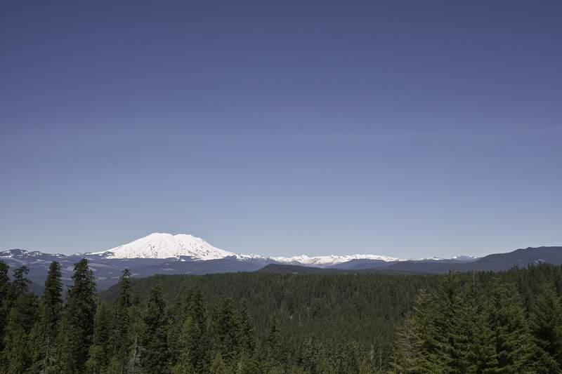
Next, I decided to take the other way back to Portland, and hit a few other spots. As is necessary when you take this route, I stopped at the viewpoint and took a few photos of MSH. There were SAR jeeps out, and there were several signs for doggie SAR training, so I drove extra slow, as to not hit any people playing dead in the middle of the road.
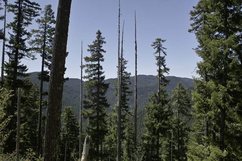
At this point, I was just looking for short, interesting hikes I wouldn't do otherwise. Lava Butte looked like it had potential, as it was just a mile or so up to the top, and could have decent views. I drove into the Paradise Campground (nice spot, by the way) and made my way up what was clearly a little used trail, to the partially obscured views at the top. On my way back down, I startled a black bear, who looked at me once, and then shot off into the woods before I could get a picture.
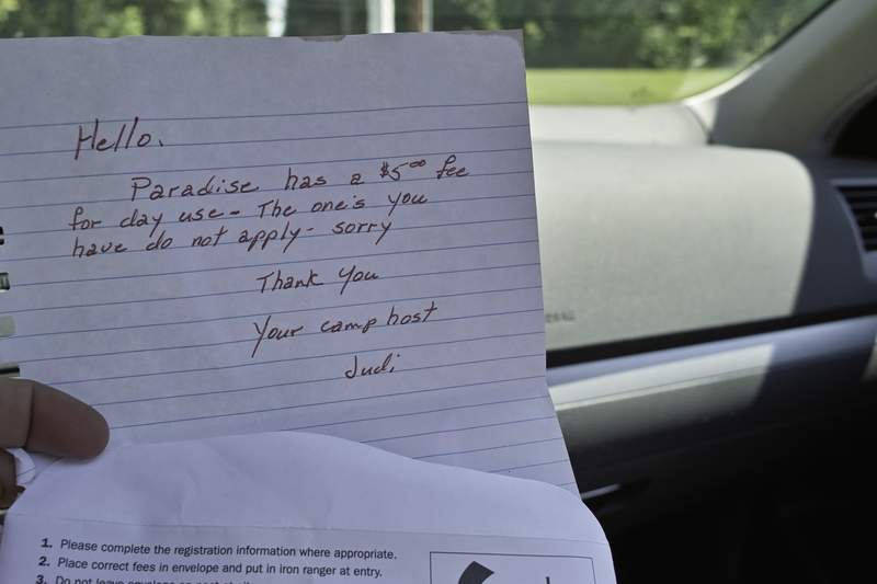
When I got back to the car, I had a lovely note from Judi, Paradise's camp host, telling me there was a $5 day use fee. There was no sign at the trailhead, mind you, nor was there any formal parking area. She conveniently provided me a fee envelope, but unfortunately, I had already paid for a NW forest pass, and I would not be paying another fee just because Hoodoo's contract allowed them to charge one.
Last stop was going to be Grassy Knoll, but it was 84 degrees out and the road up to the top was going to take too much time and focus, so it was time to get going so I could make chit-chat with the ladies in the BOTG booth.
Great weekend to be hiking!

Comments

Chris
June 5, 2011
I wish - but the current was extremely fast - hence the stranded deer. Probably twice as wide and fast as eagle creek.
Kyle Meyer
June 5, 2011
Looks eminently swimmable.