

2011 Trips


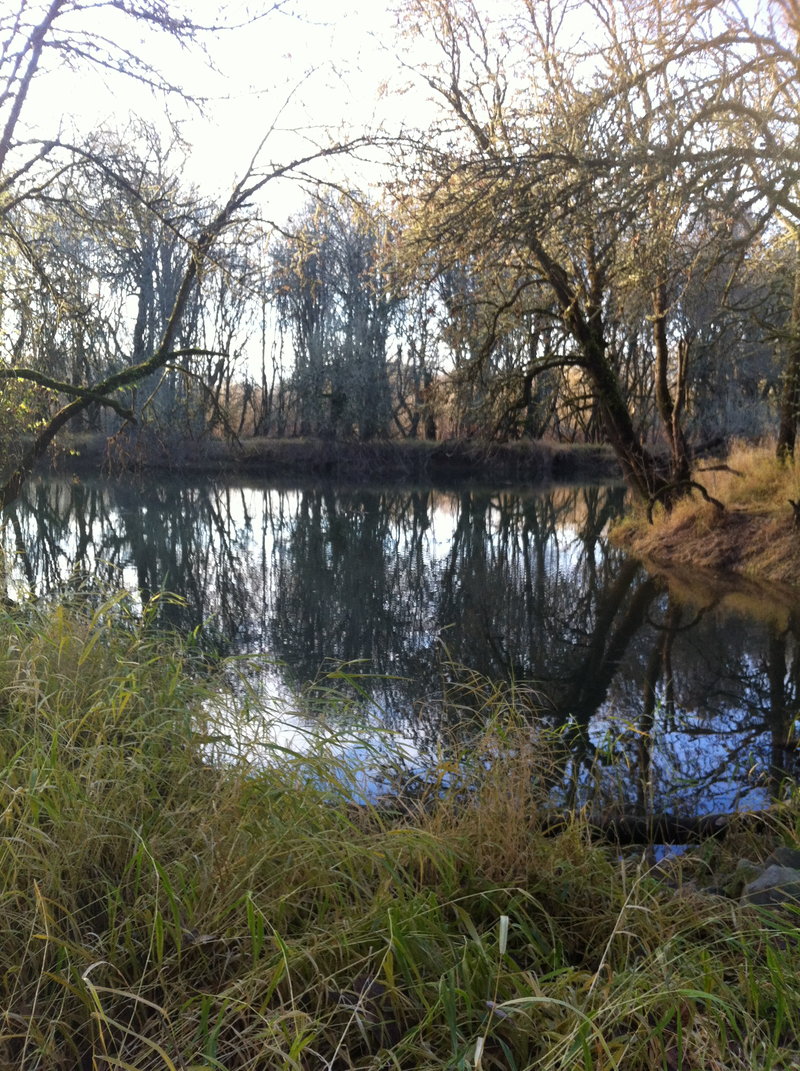
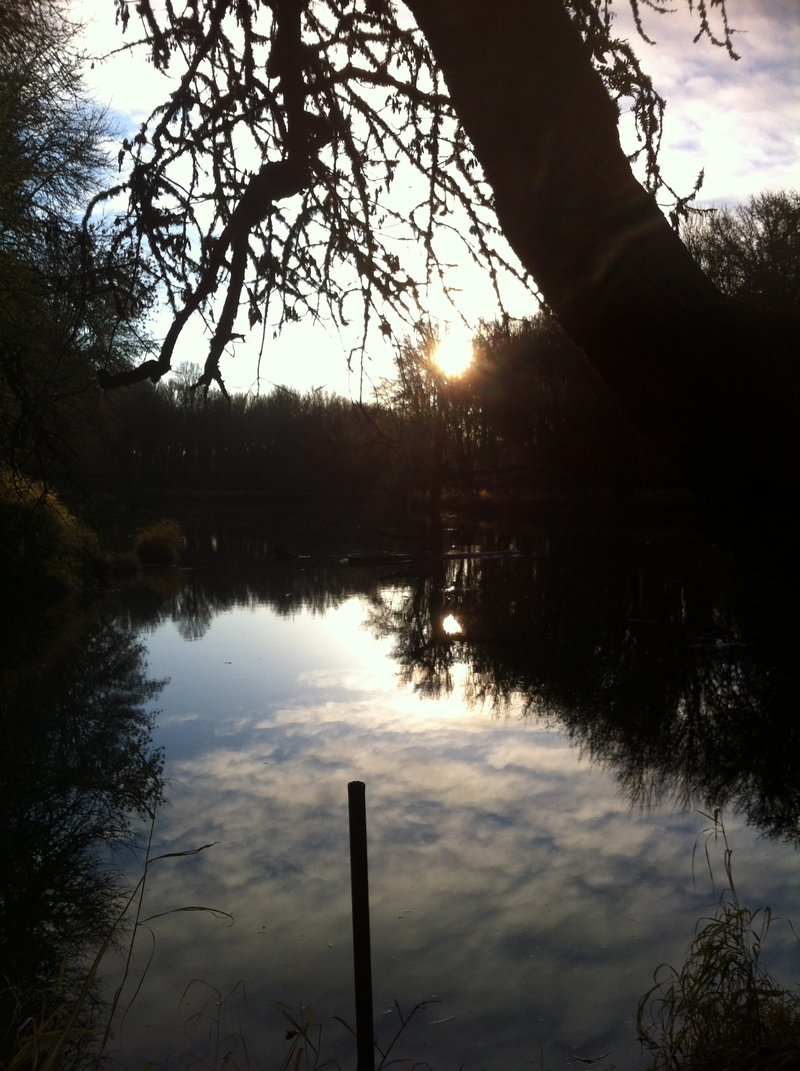
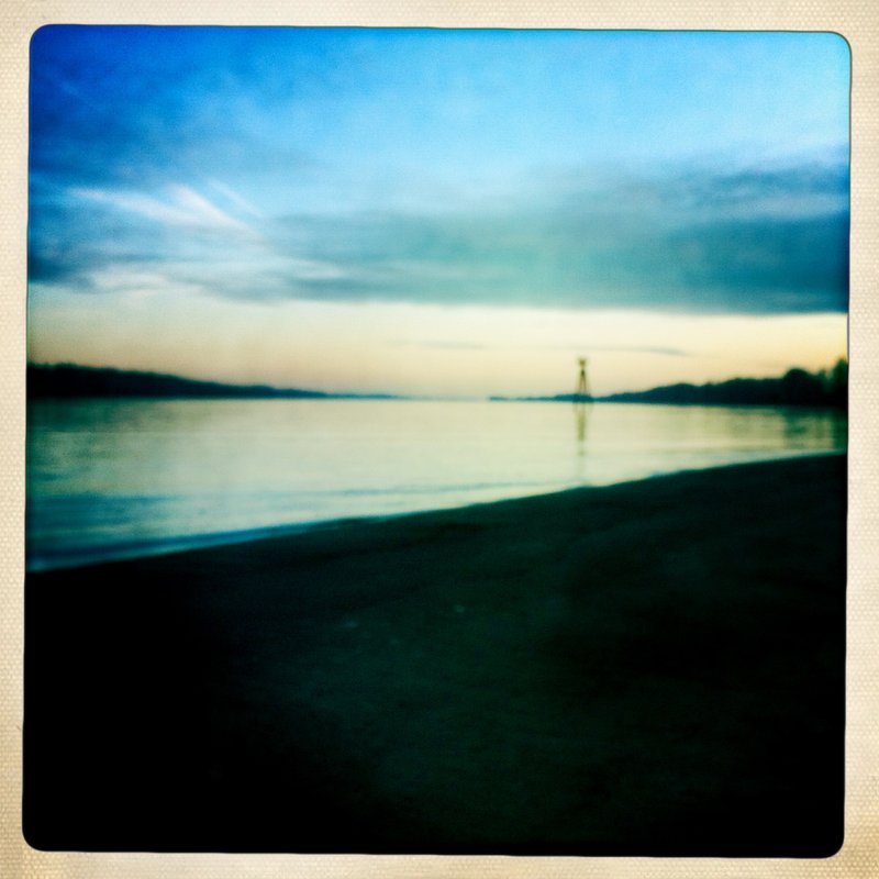
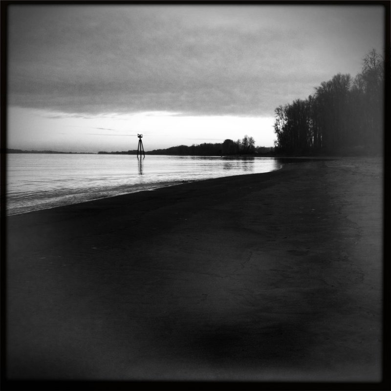
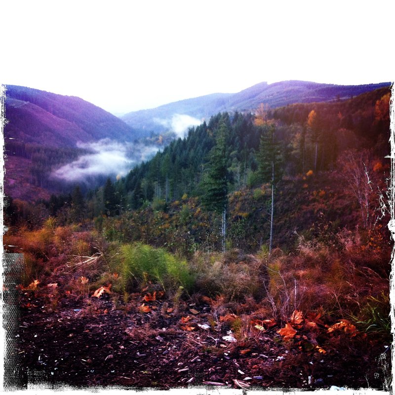
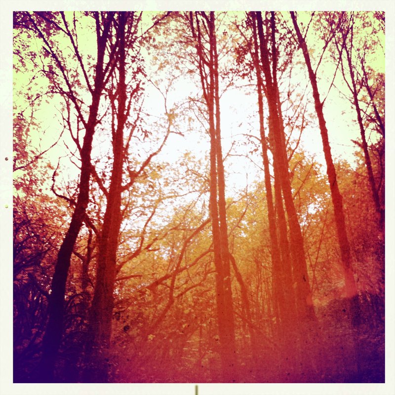
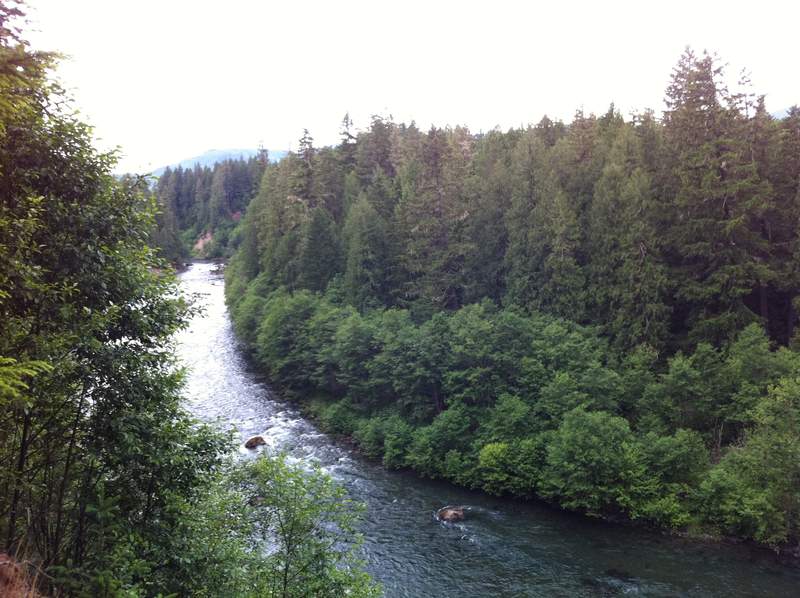
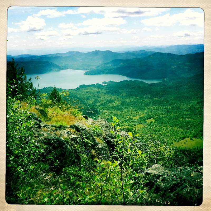
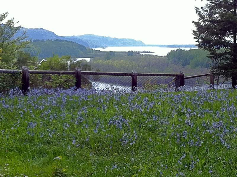
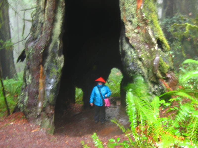
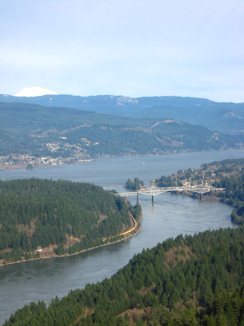
Sauvie Island/ (almost) Warrior Rock
4 miles of hiking • 0' elevation gain •
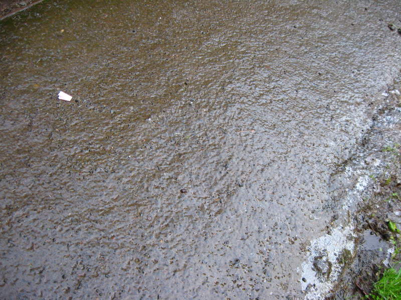
90% of my time on Sauvie island has been spent on sandy beaches on hot days. It was nice to get out and explore what else the island has to offer. Sadly, due to inviting an always tardy friend along there wasn't enough time to finish the hike and get the the lighthouse before dark. NEXT TIME Gorgeous day/Sunset~

December 23, 2011

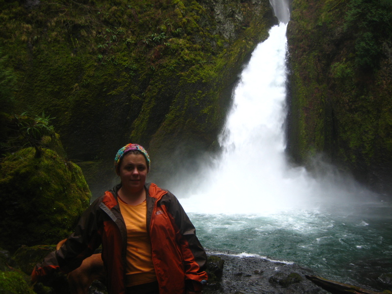
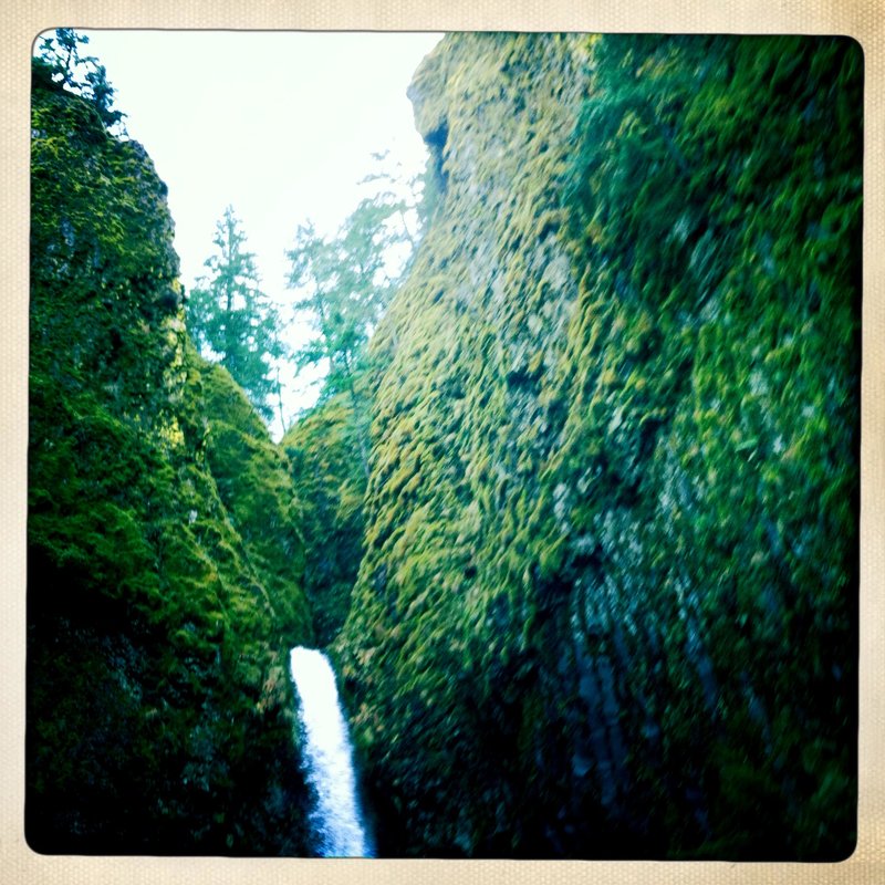
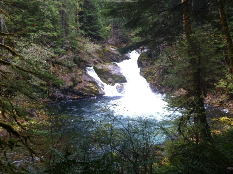
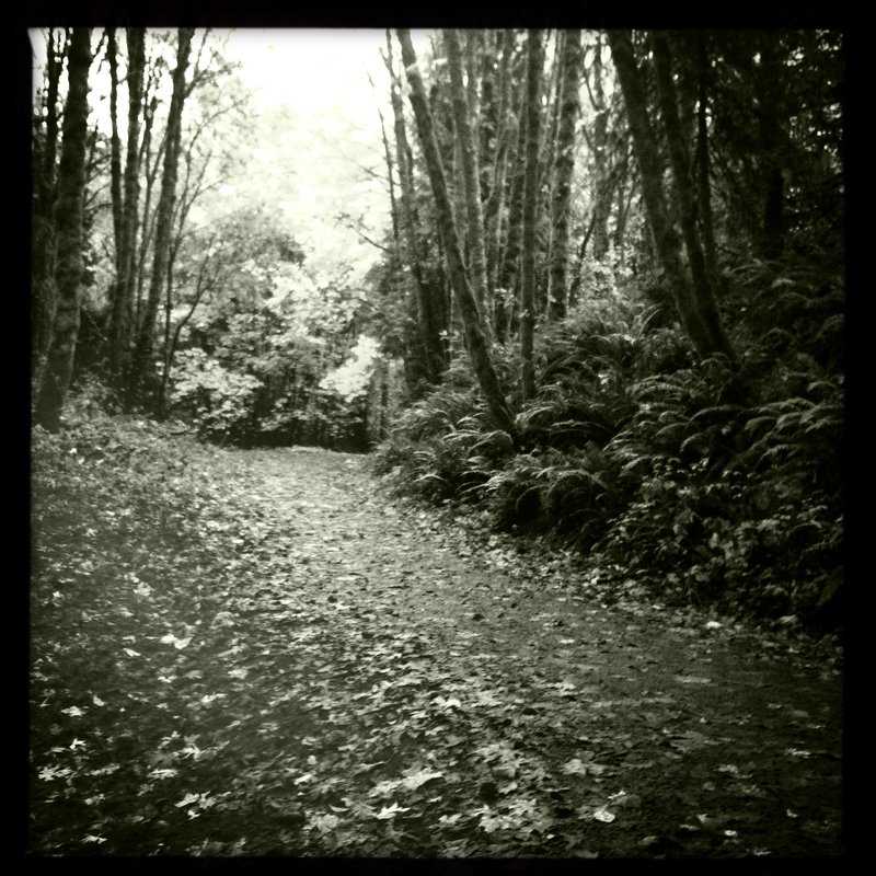
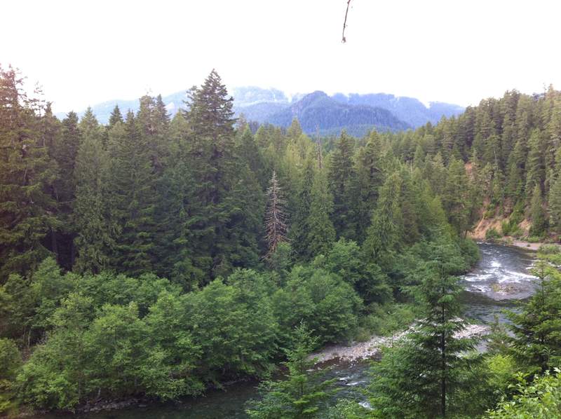
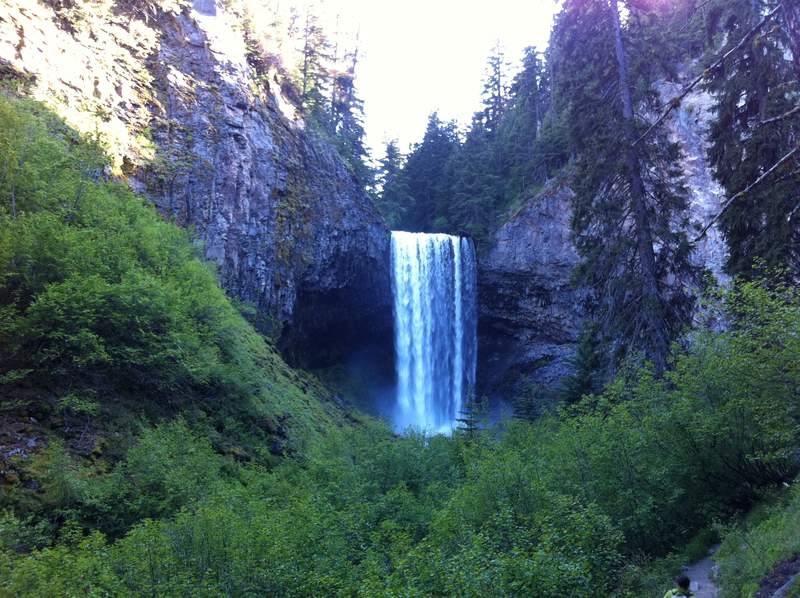
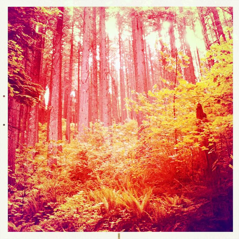
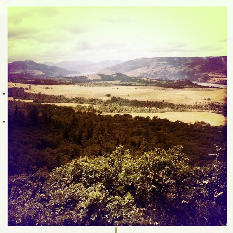
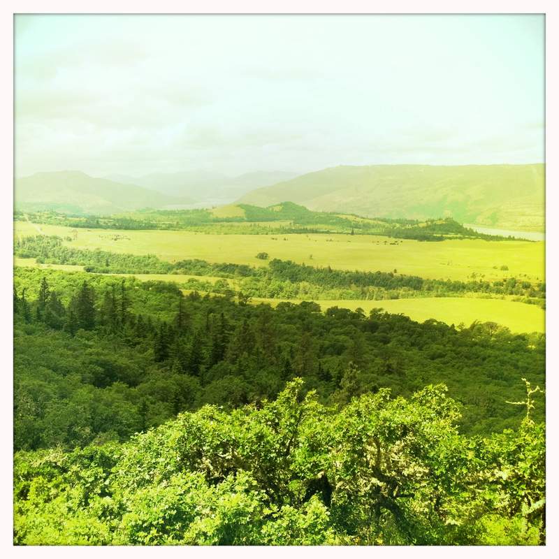
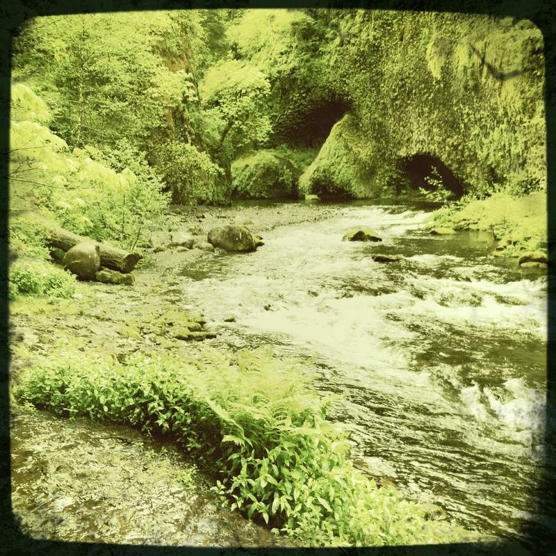
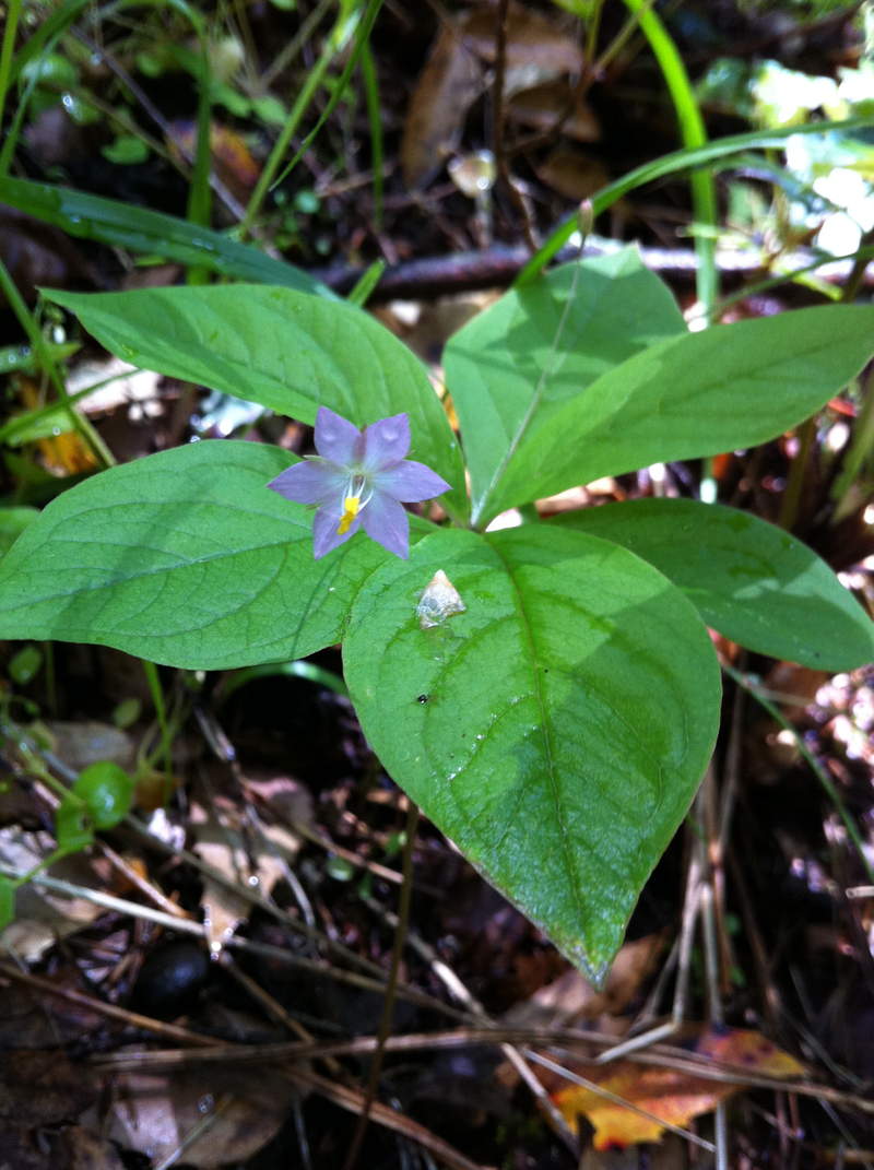
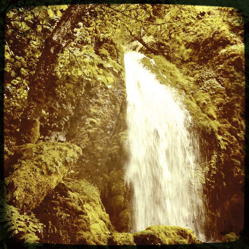
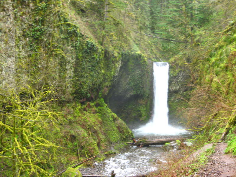
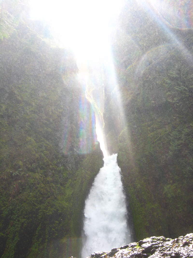
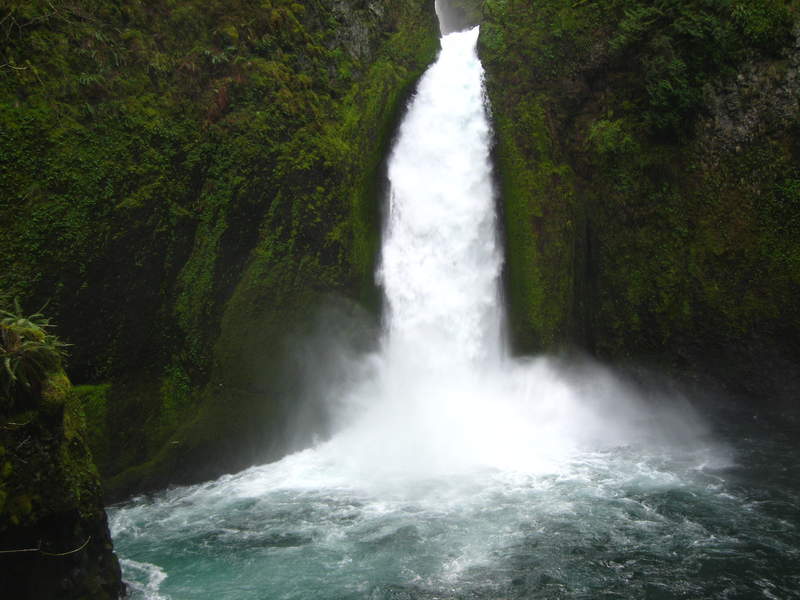
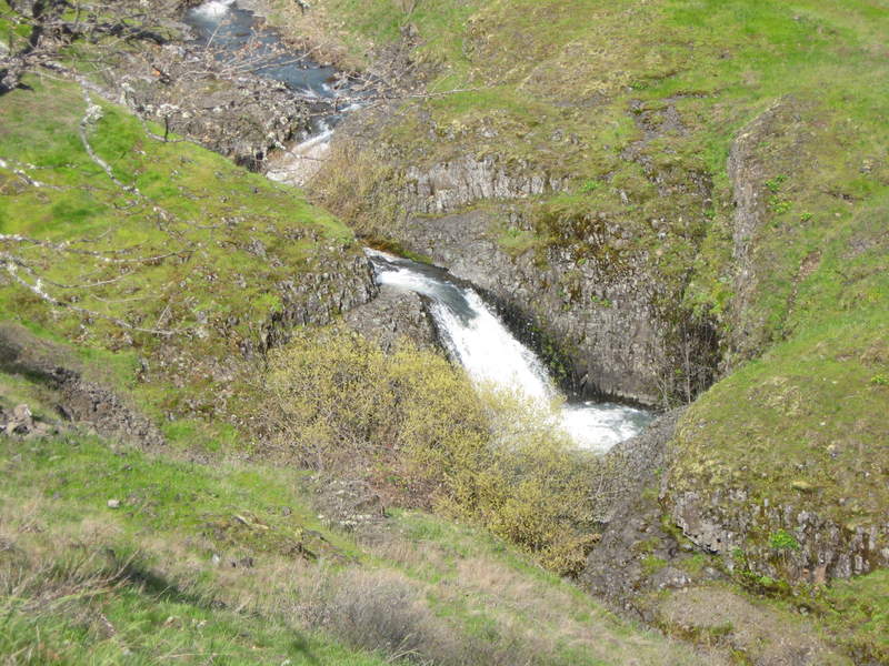
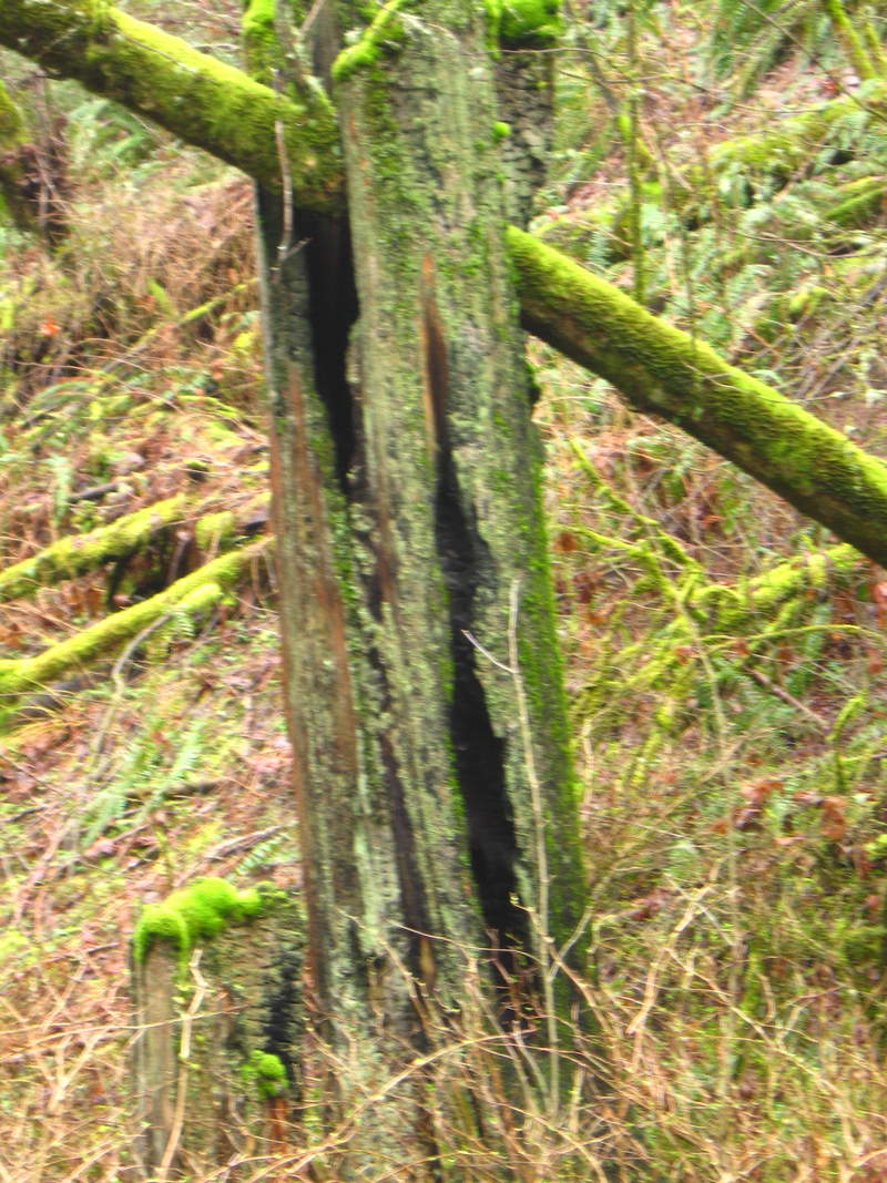
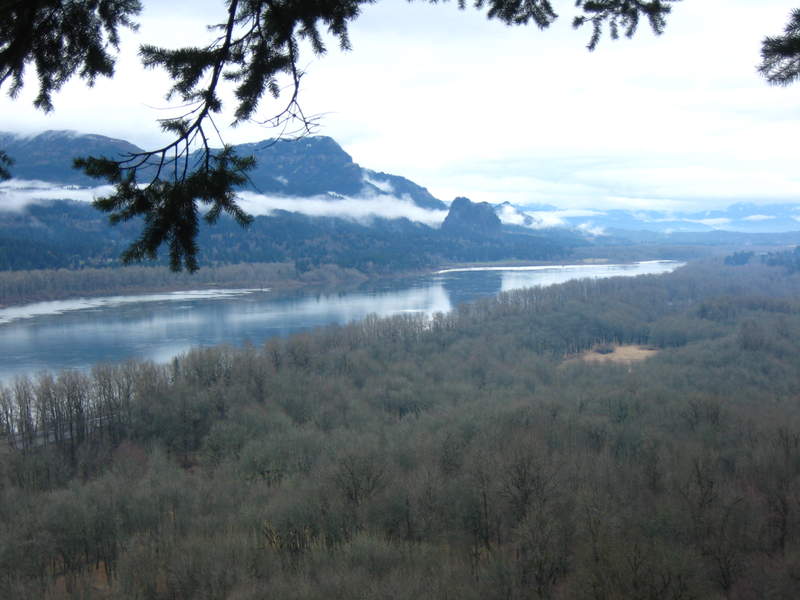
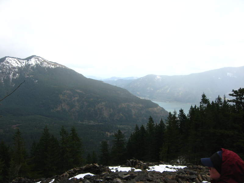
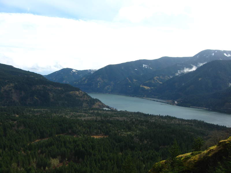
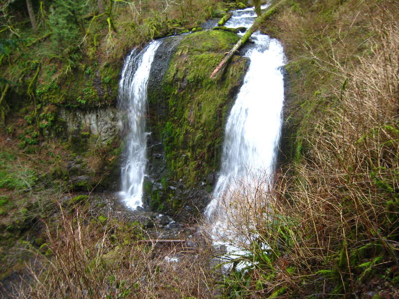
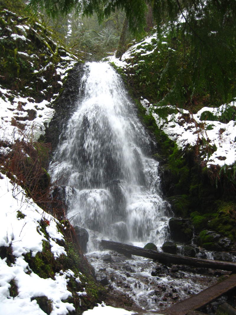
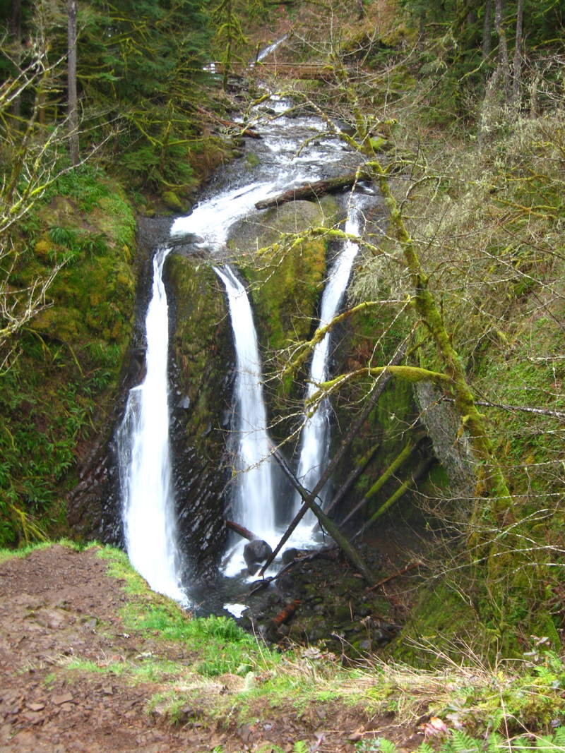
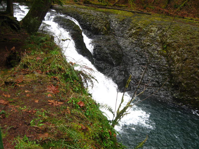
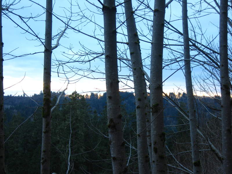
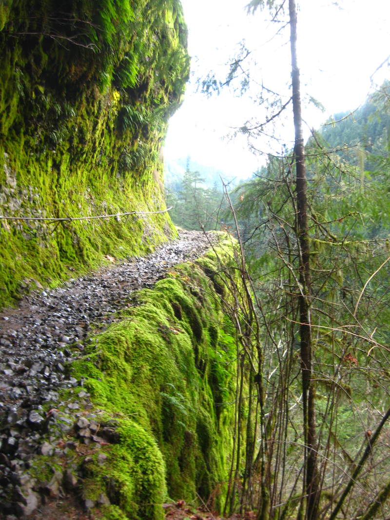
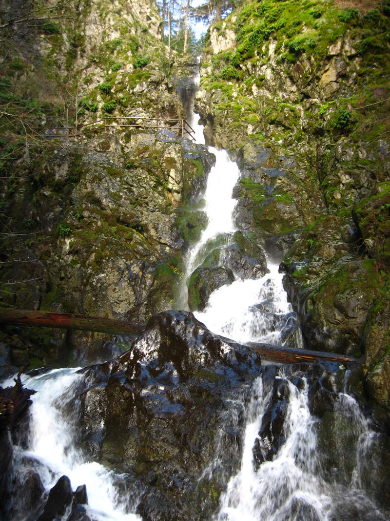
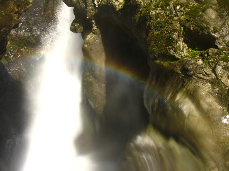
Dry Creek Falls PCT
4 miles of hiking • 250' elevation gain •
Lovely day for a hike. Made the proper turn this time to see the waterfall... even with all the garbage, shoes, used condoms, and beer cans it was a freaking beautiful place.
November 29, 2011

 2
2
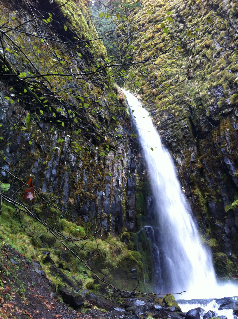
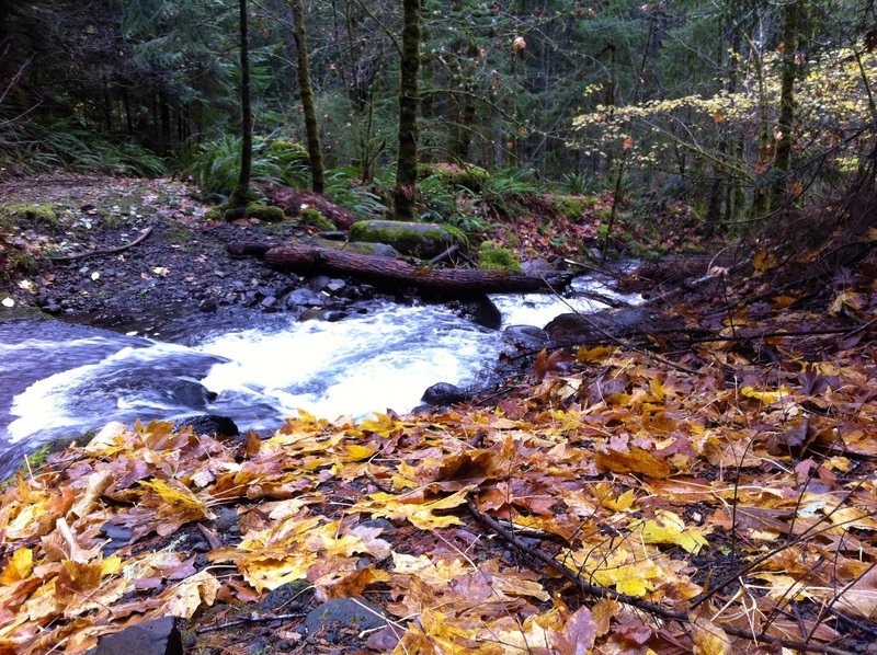
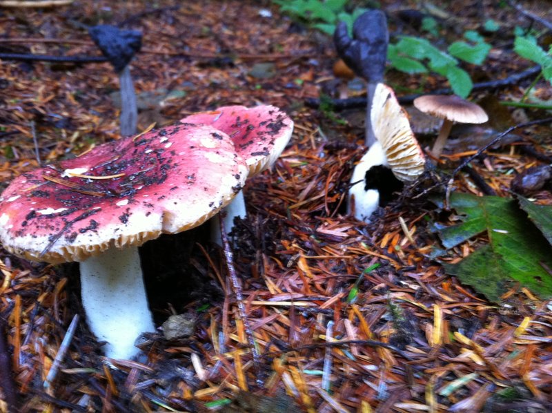
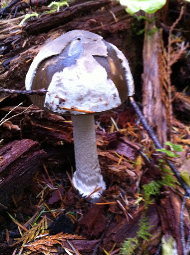
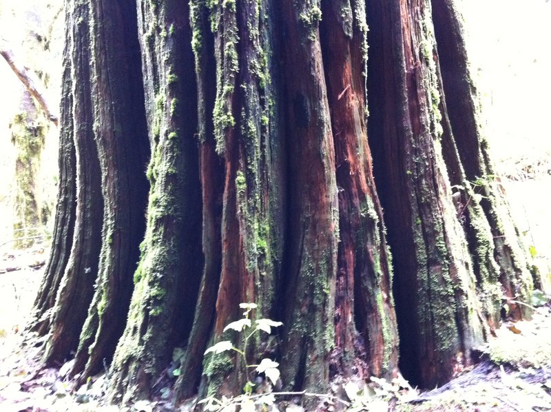
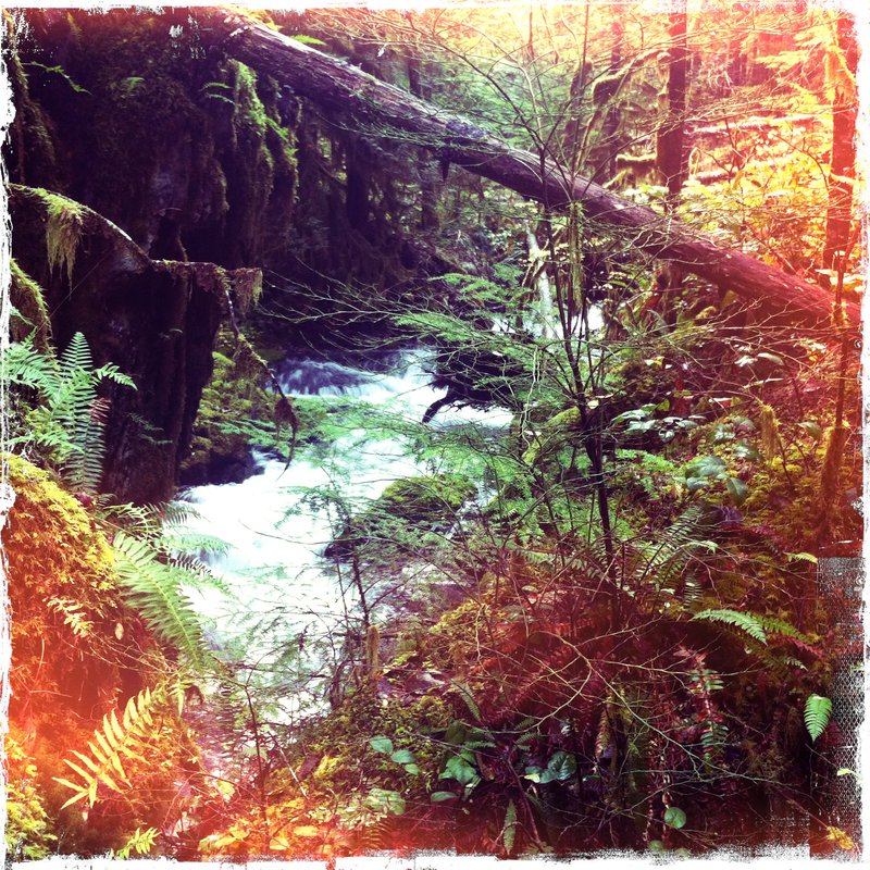
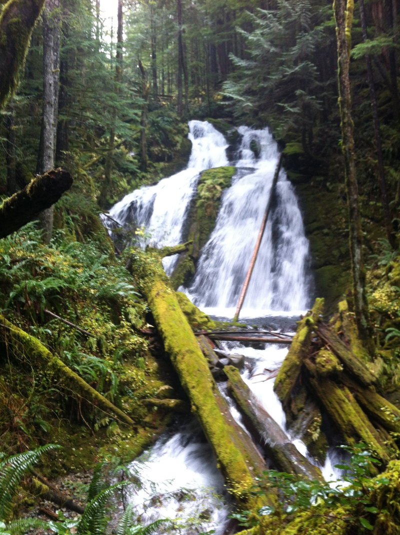
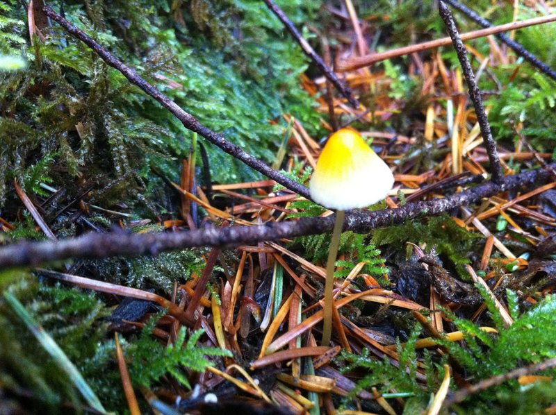
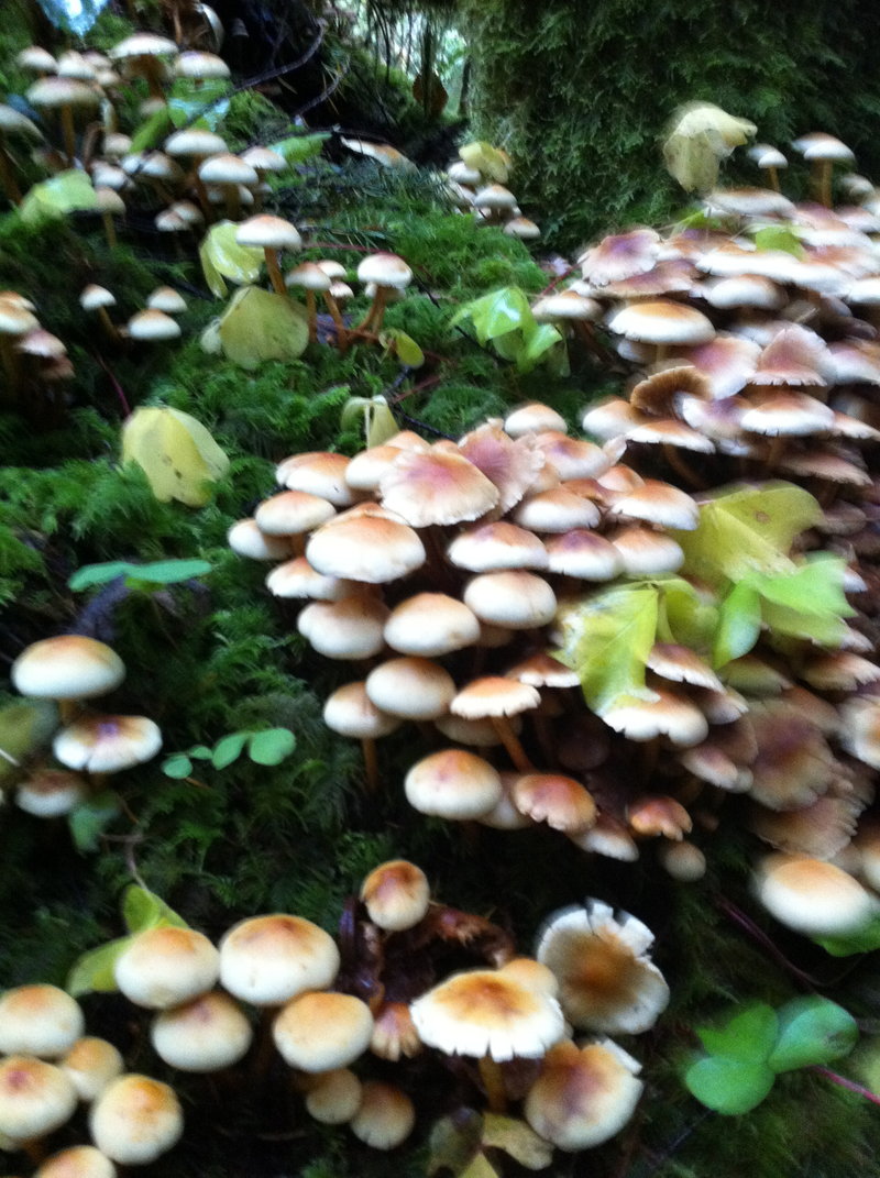
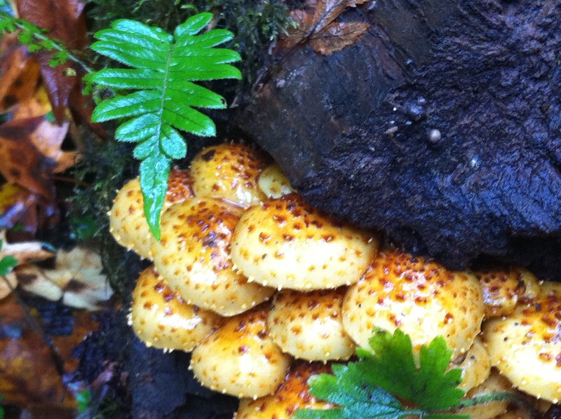
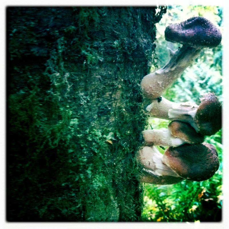
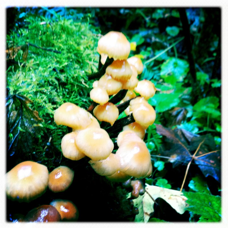
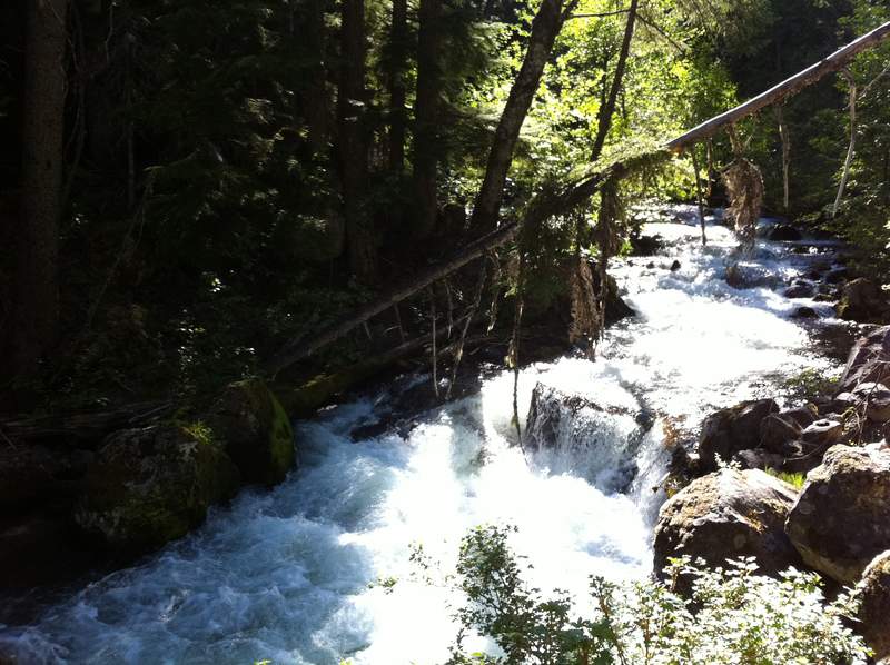
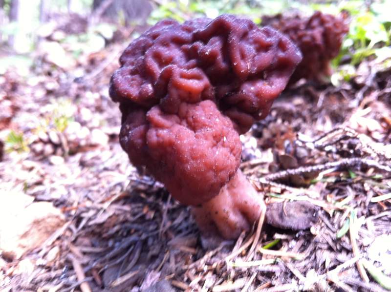
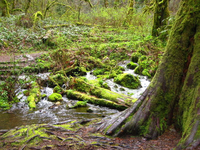
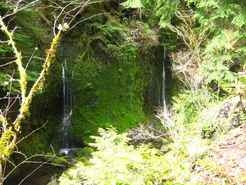
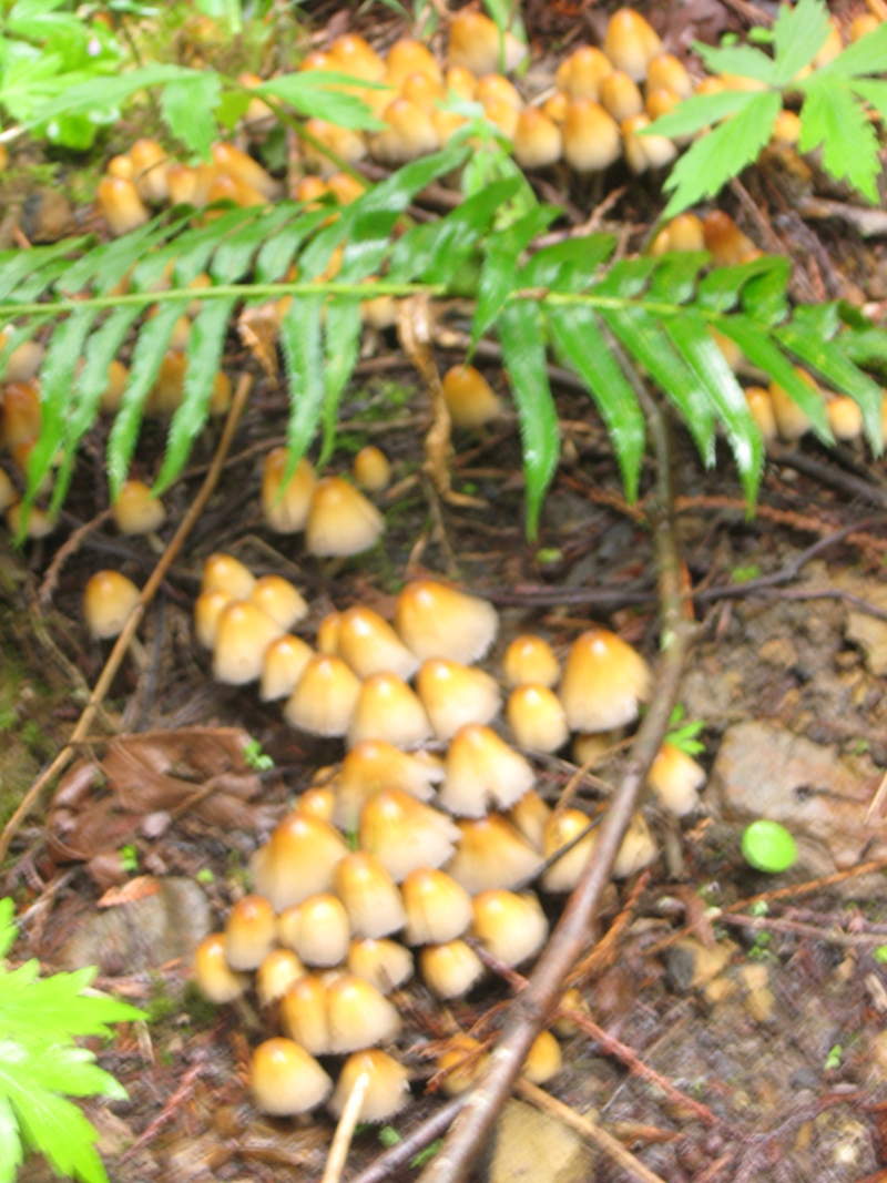
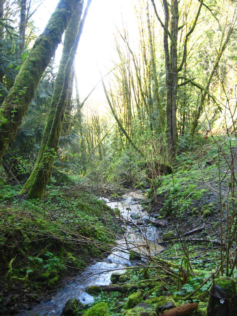
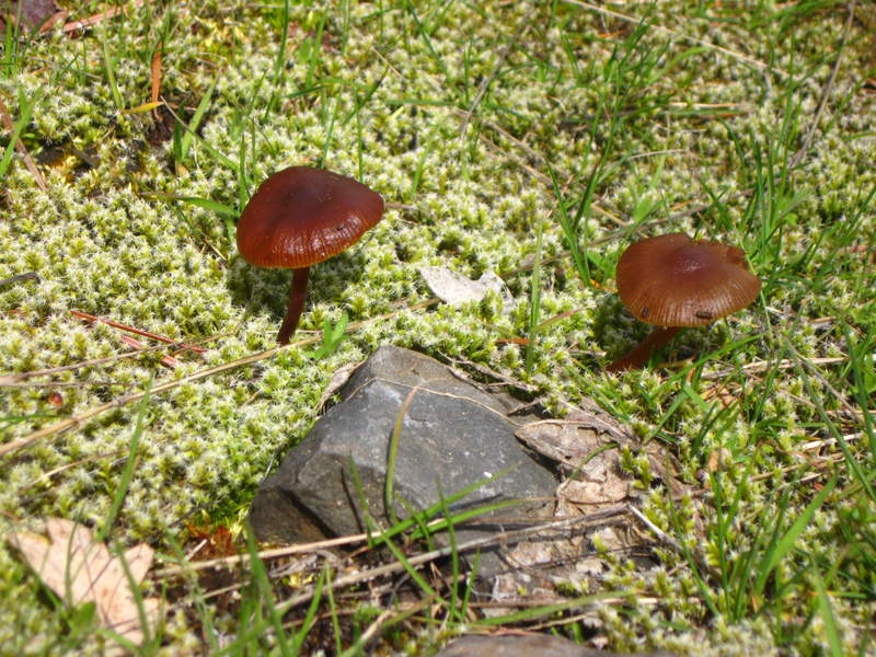
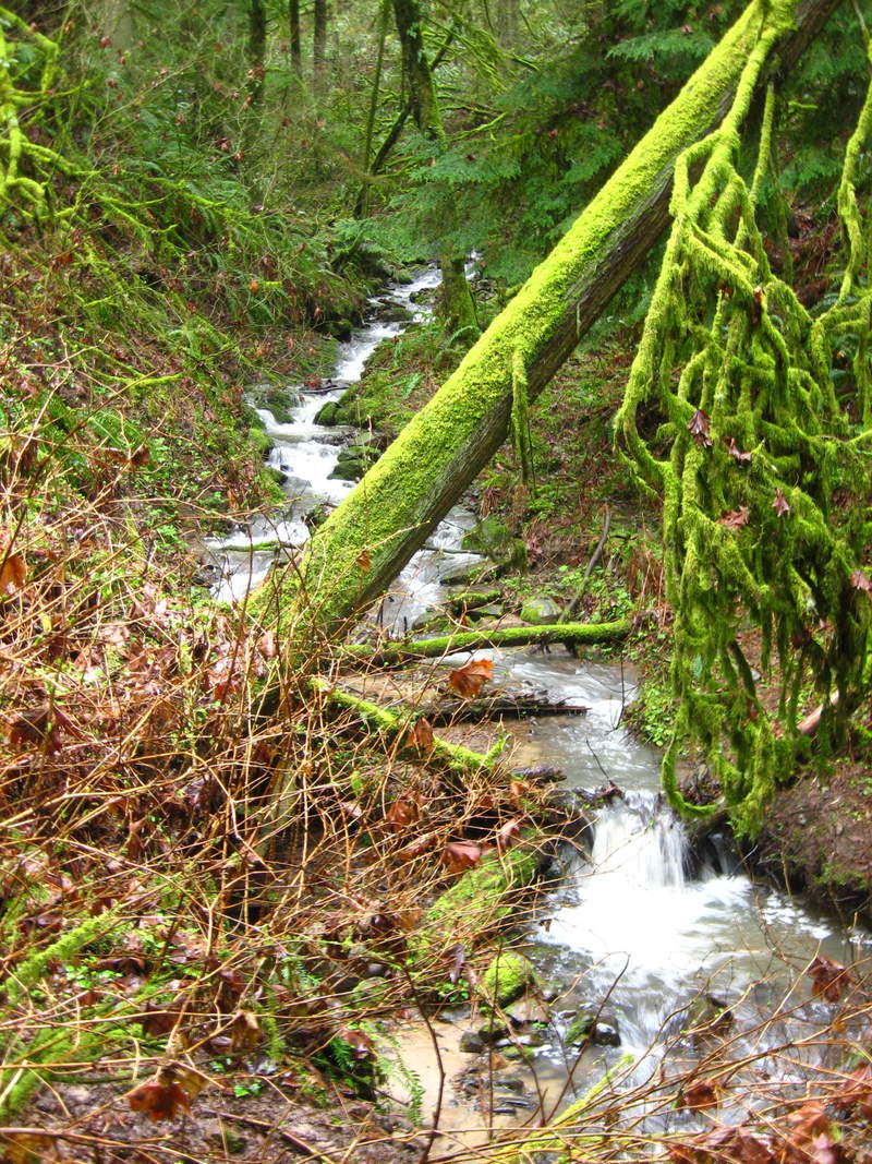
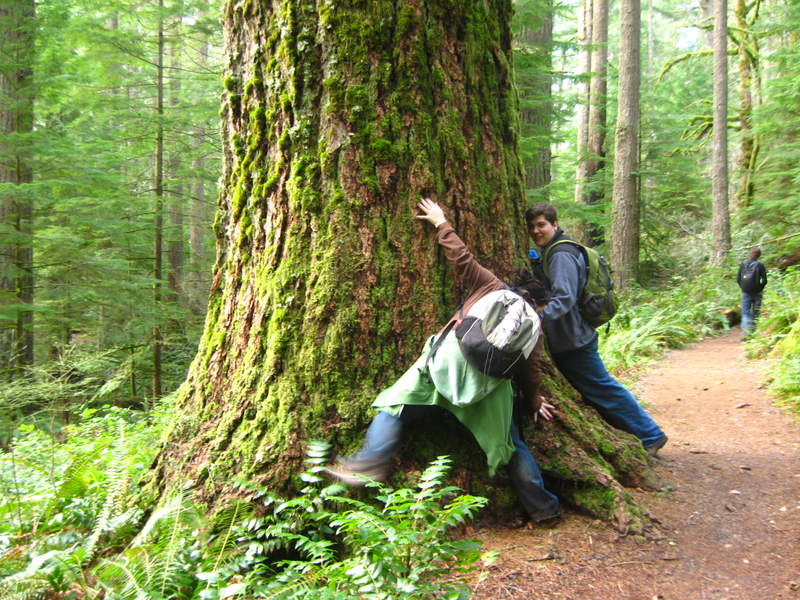
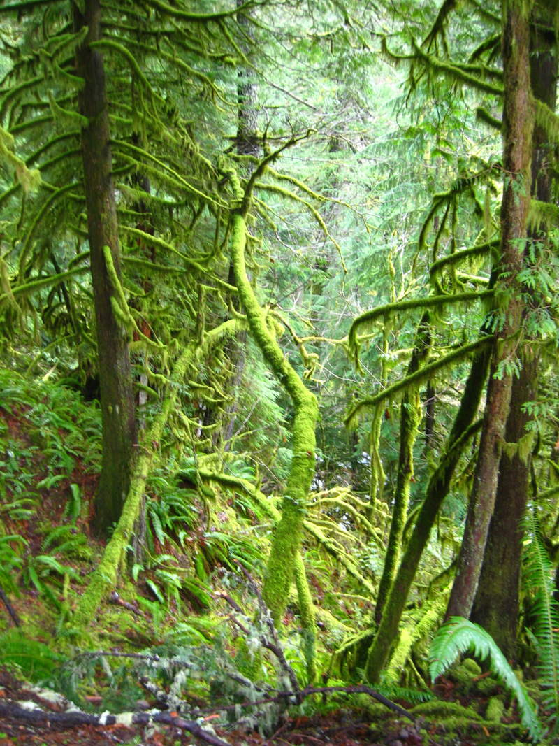
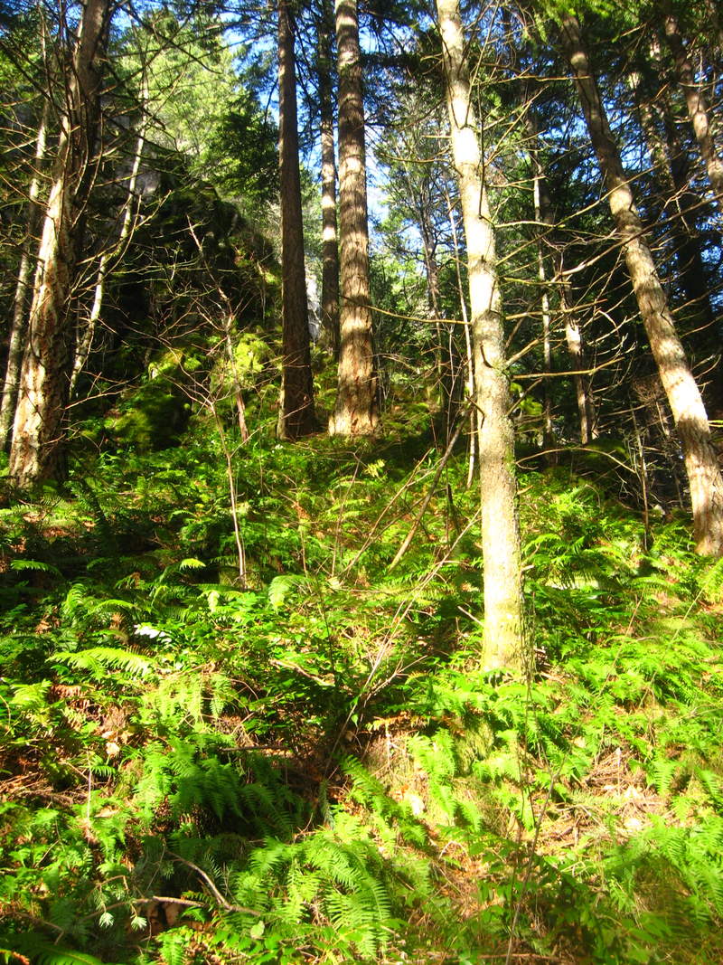
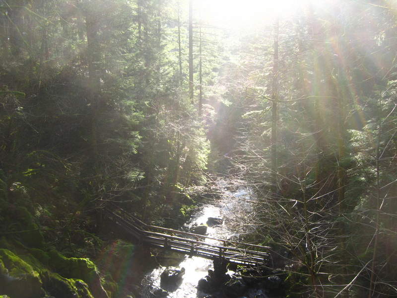
Siouxon Creek
8.5 miles of hiking • 500' elevation gain •
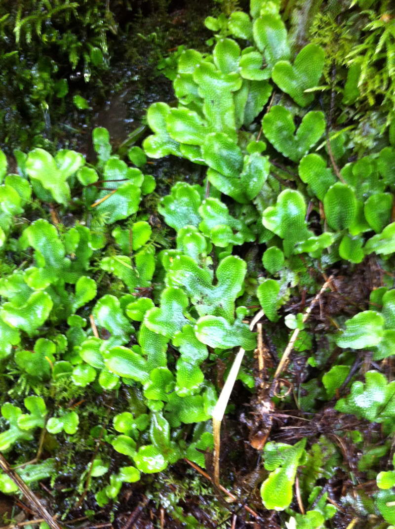
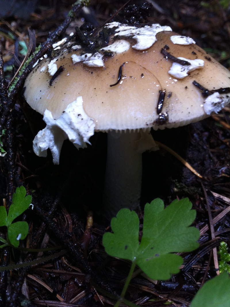
Being the only dry day this week, it was a great day to get out for a hike. This was my first time visiting the area and it was frickin amazing!! We spent the first 15 or so minutes of the day in the parking lot looking at mushrooms. It was like a fungi party. Amazing hike with some hot mulligatawny soup for lunch. I can't wait to come back here again and again and again. Next time hopefully an overnight trip.
November 15, 2011

FP springville rd/ leif erickson
4 miles of hiking • 500' elevation gain •
Lots of puddles and fungus.
November 6, 2011

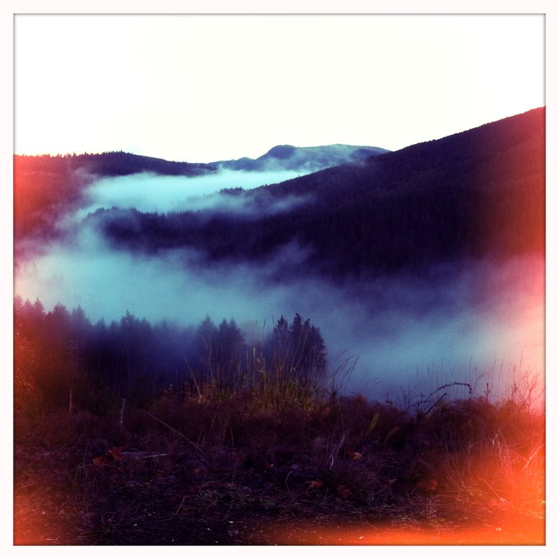
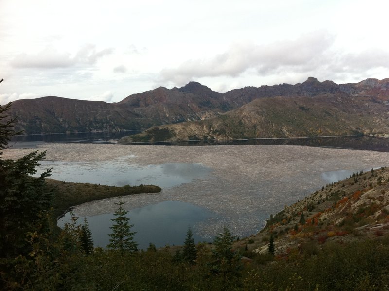
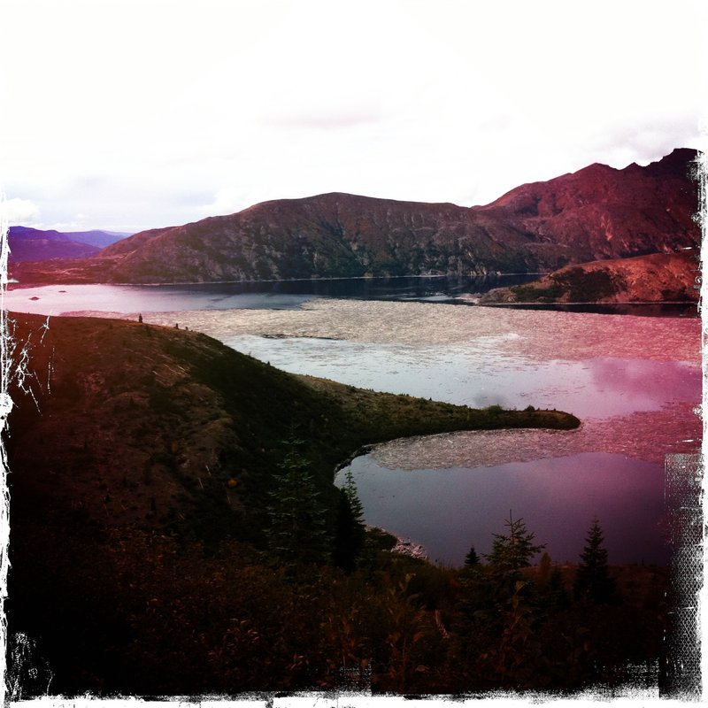
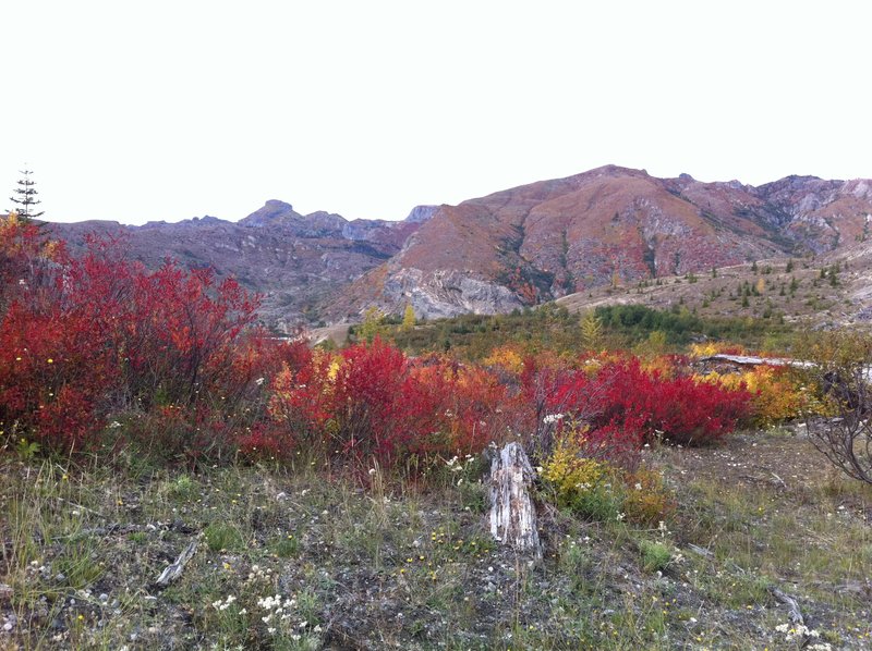
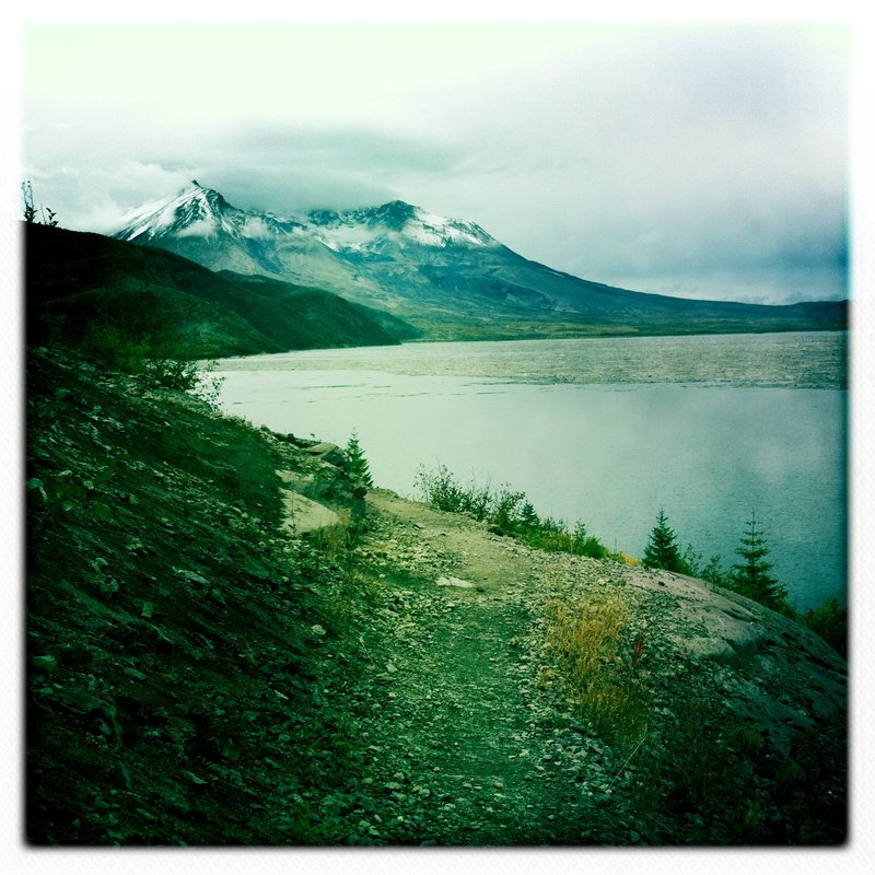
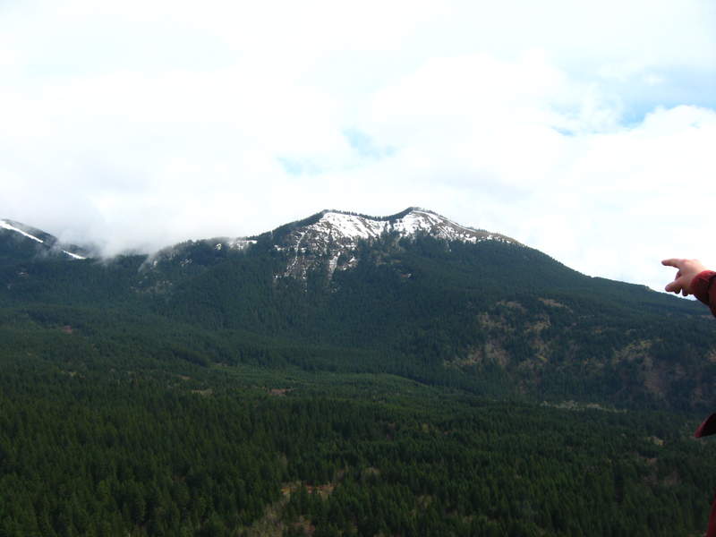
Spirit Lake
2.5 miles of hiking • 750' elevation gain •
what a fabulous sight!! I am so glad I finally visited the lake. There were still wildflowers in bloom. Wonderful day.
October 20, 2011

Forest Park leif erickson/ springville rd
5 miles of hiking • 500' elevation gain •
nice day exploring this side of the park
September 26, 2011

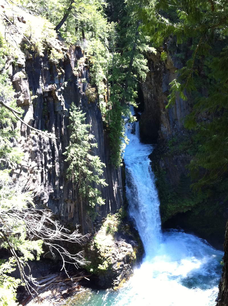
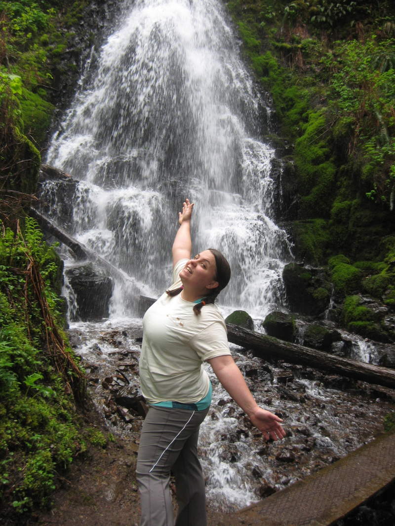
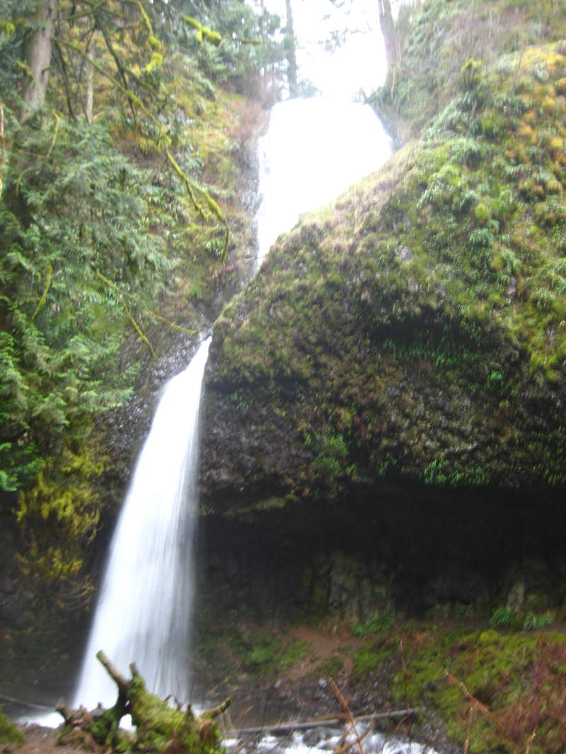
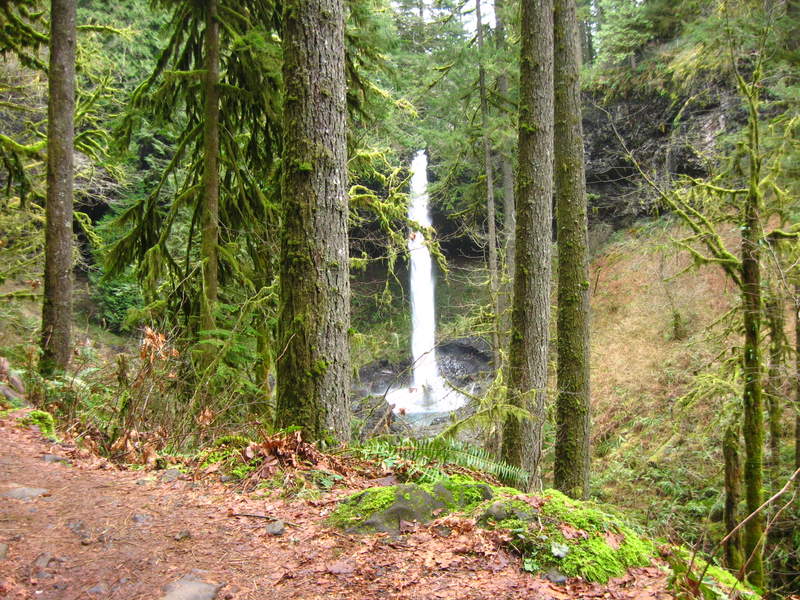
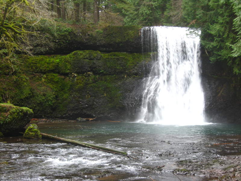
upper mccord/ elowah falls
4.5 miles of hiking • 500' elevation gain •
One of my favorite falls to visit
July 22, 2011


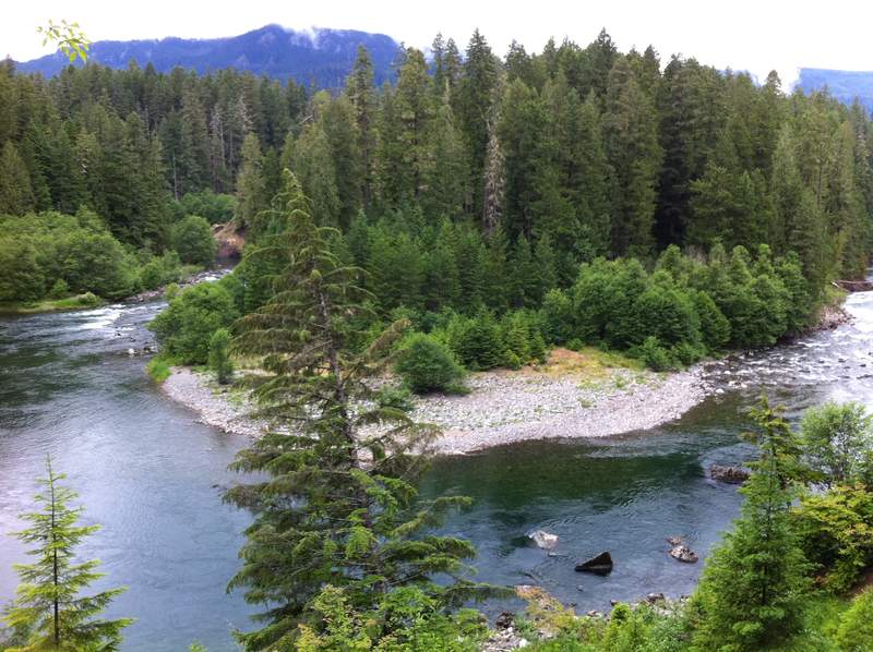
Clackamas 723 Trail
7 miles of hiking • 1250' elevation gain •
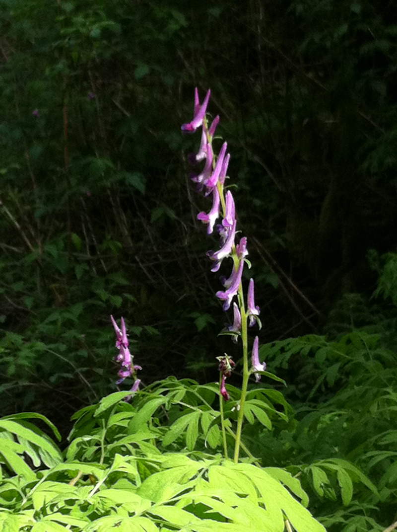
I don't remember where I heard about this trail (the one up past Ripplebrook) , but, somewhere along the line I did and decided to visit after a casual trip to Poop Creek. Nice trail, flowers, some orchids, nice river views from above. After a little post-hike research I discovered this is mostly used as a mountain bike trail, which explains why I was unable to find info on the trail on any hiking site/ in a book. Was passed by 1 biker on the hike, luckily not on a cliffside area. The noise of the bike from behind me caught me off guard and I thought it was an animal, the bikers response "I am and animal".....
June 30, 2011

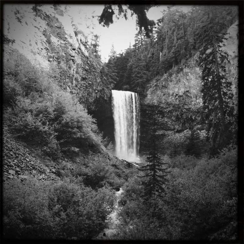
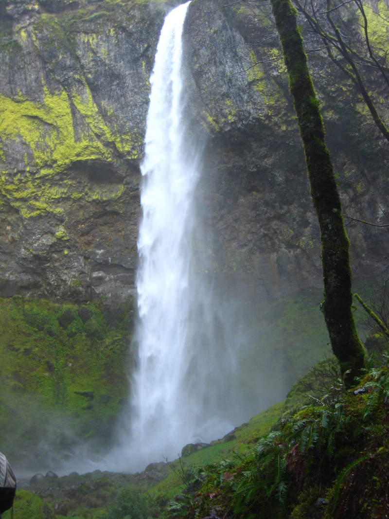
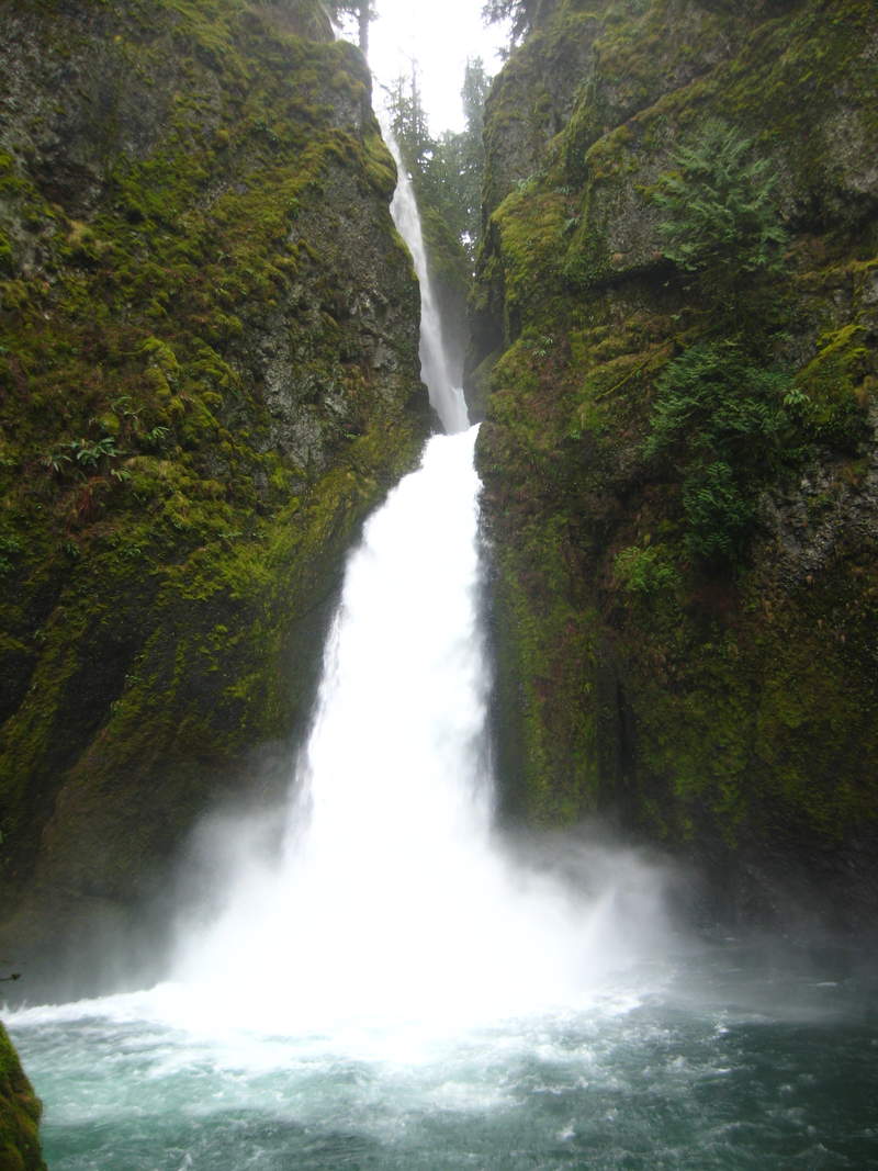
Tamanawas Falls
4 miles of hiking • 500' elevation gain •
Had a tough decision to make after work today; Sit in Friday rush hour traffic, or head the other way and go for a short hike. Ummm, I choose hike! It was nice to venture out of the Gorge for some different scenery (not that I don't love the Gorge to pieces)
June 24, 2011

Wahkeena Springs/Vista
5 miles of hiking • 1500' elevation gain •
The hike up was quiet and chill, lots of flowers and snakes. But wow did it get busy! On my way down around 10am, between the vista trail and the parking lot I crossed paths with about 35-40 people; Note to self: leave town much earlier tomorrow.
June 21, 2011

Little Crater Lake/ PCT
3 miles of hiking • 0' elevation gain •
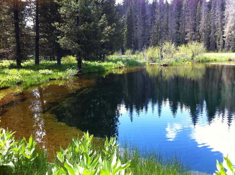
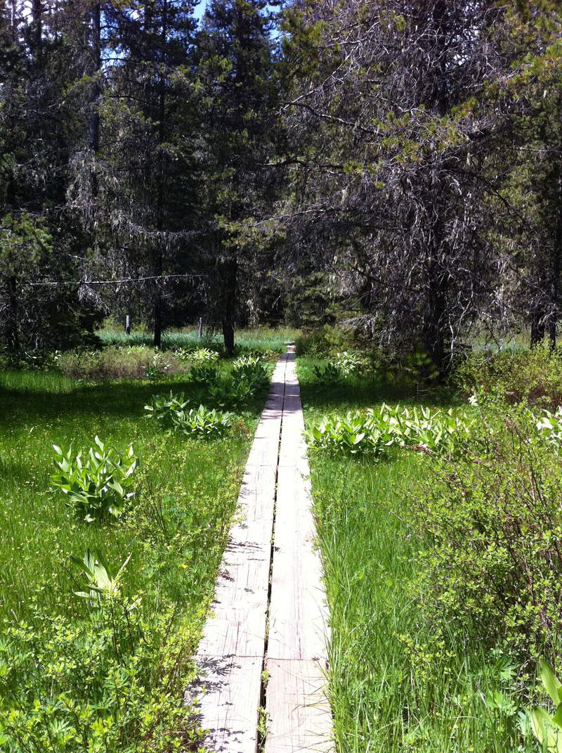
The end of this road trip signified the end of my 3 week vacation in-between jobs (sad trombone sound) we were supposed to be headed straight to Portland, but I managed to finagle a short side trip to Little Crater Lake, the PCT is about 1/2 mile from the campground. Not a particularly interesting area to hike, but the spring fed lake was clear and blue and it seems like a nice place for car camping since Timothy is a zoo.
June 10, 2011

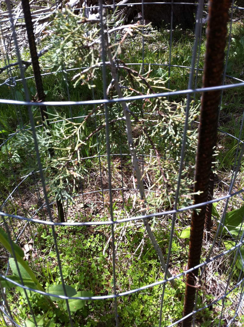
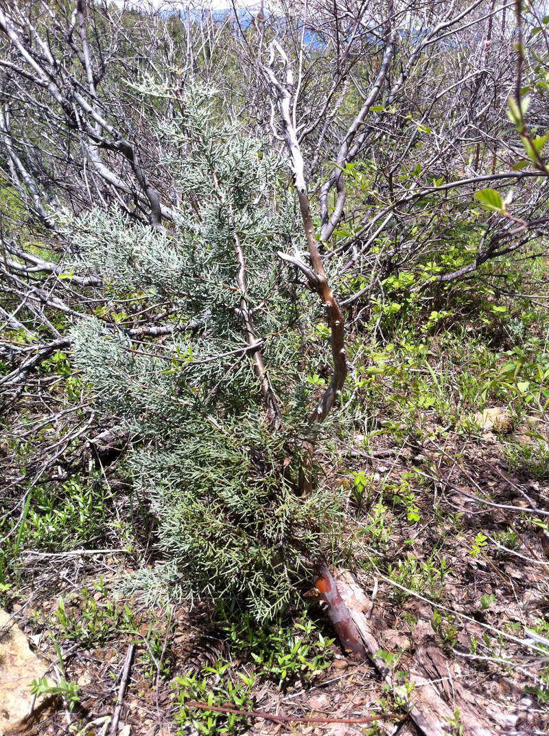
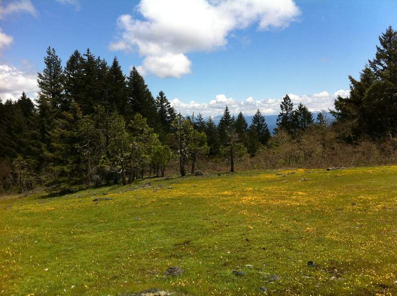
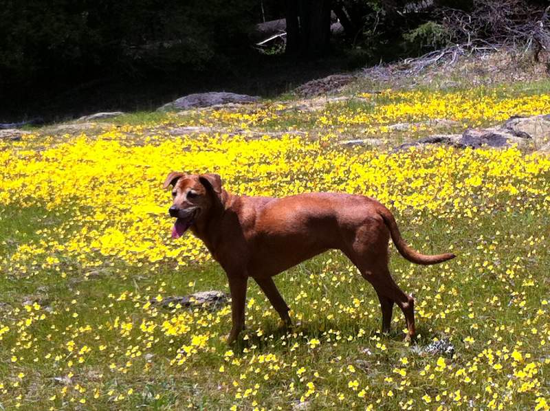
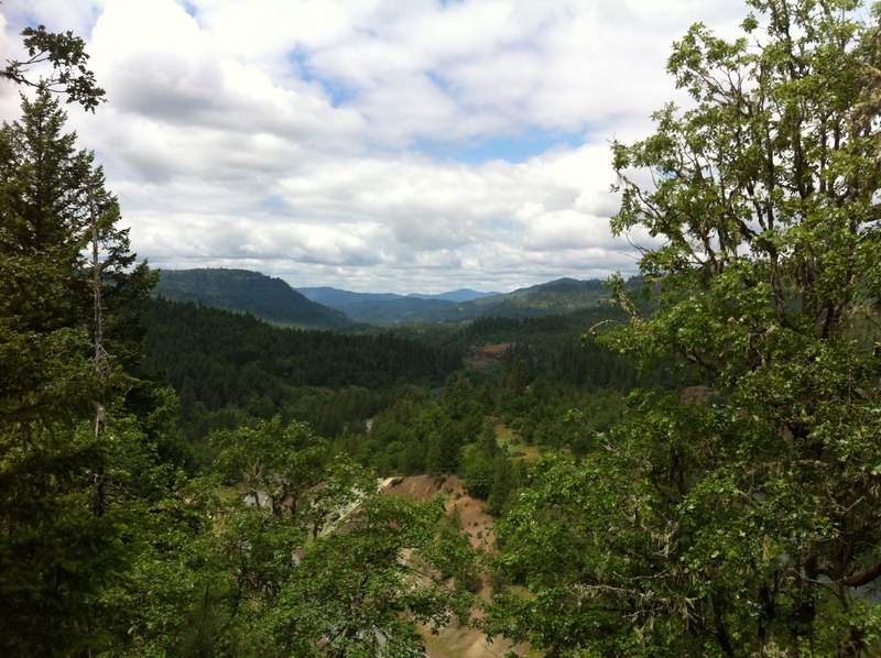
Cypress Meadow/ Rogue Natural Bridge
5 miles of hiking • 750' elevation gain •
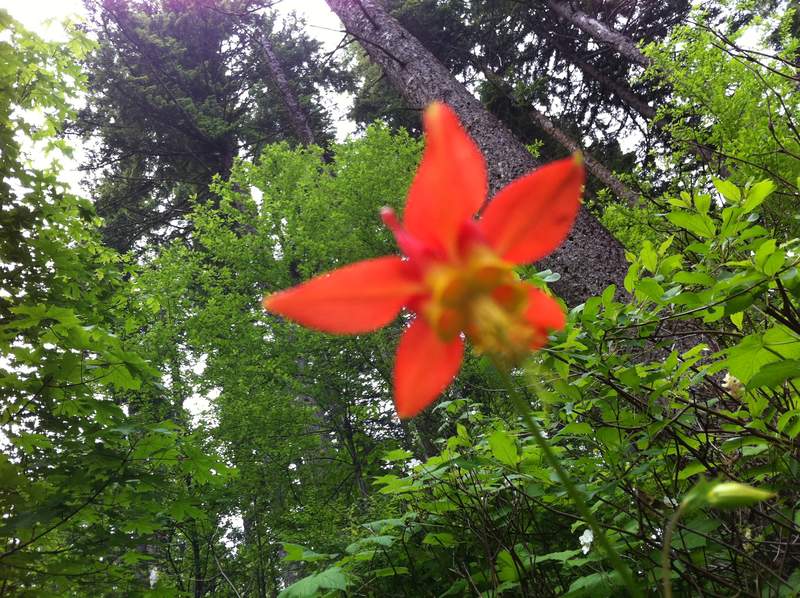
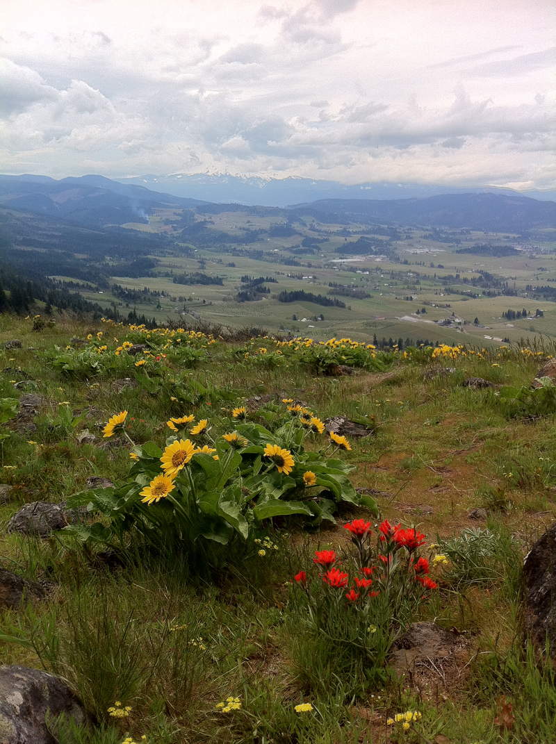
Read about the "northernmost stand of rare cyprus trees" and thought that would be a cool thing to check out. I wasn't too sure what a cyprus tree looked like, but I did know they were the rarest tree in North America, only growing in the Siskiyou Mountains, and therefore assumed they would be very interesting. It turns out they are just glorified Juniper bushes, who knew? The trail to these rare "trees" was nice, there were several stunning meadows with views of snowy peaks, some eerie burnt trees (apparently Cyprus only grown in areas that have had a fire) Many of the cyprus were in cages....like a tomato plant.
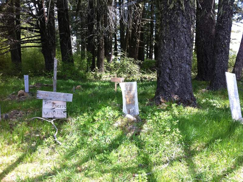
Another short trail originates from the trailhead and leads up to "Flounce Rock" which has a great view of Lost Creek Reservoir and the Rogue valley. The view was so nice in fact I didn't notice that right behind me was a PET CEMETERY! Doggy gravestones everywhere, one even read "Some Angels wear fur". I am not sure whether this is creepy or endearing; also not sure how the Forest Service feels about their land being used for this...
Checked out the Rogue natural bridge earlier in the day(which was flooded, therefore not a bridge) had intended to hike to the Rogue gorge, but the trail was pretty crowded (probably due to all the snow on all the good trails) so we turned back and decided to just embrace the damn snow and head up to Crater Lake since it was a clear day.
June 9, 2011

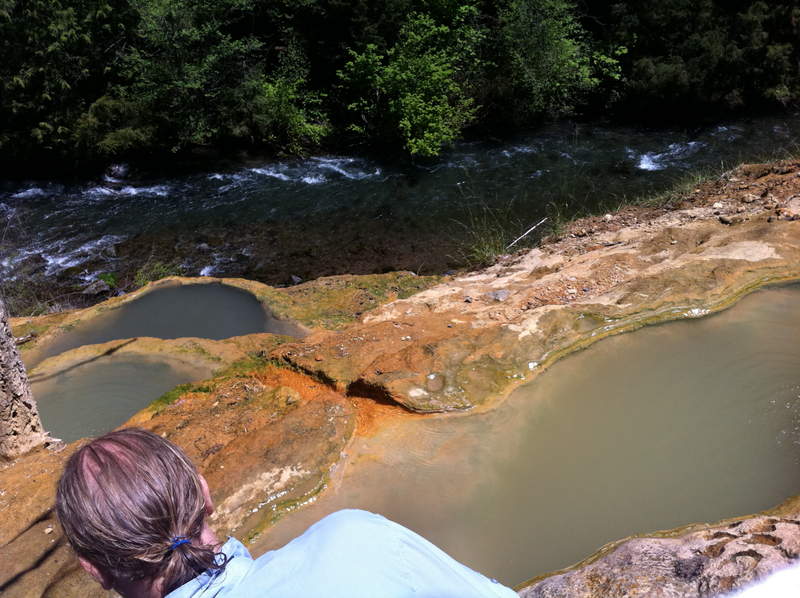
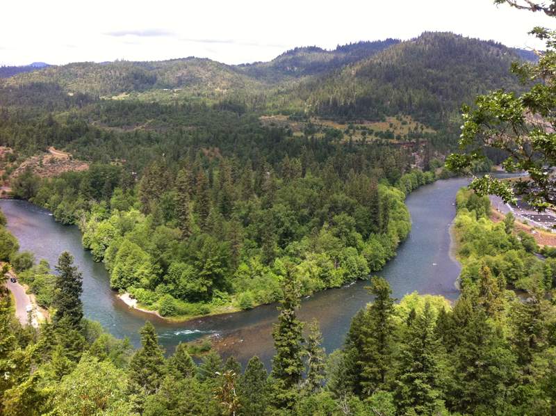
Toketee Falls/ Umpqua Hot springs/ Viewpoint Mike
7 miles of hiking • 1250' elevation gain •
Headed to Southern Oregon with no real plan. Started the day with the glorious hot springs and a waterfall. Then picked a hike at random from the Hiking the Siskiyous/Southern Cascades book, "Viewpoint Mike", turned out to be a nice destination, lots of cool flowers, great views, and right by Lost Creek Lake for a post hike swim (yes! it was actually warm enough to swim way down there...chilly water, but doable)
June 8, 2011

 1
1
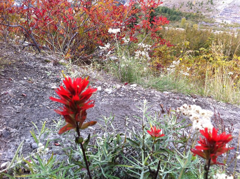
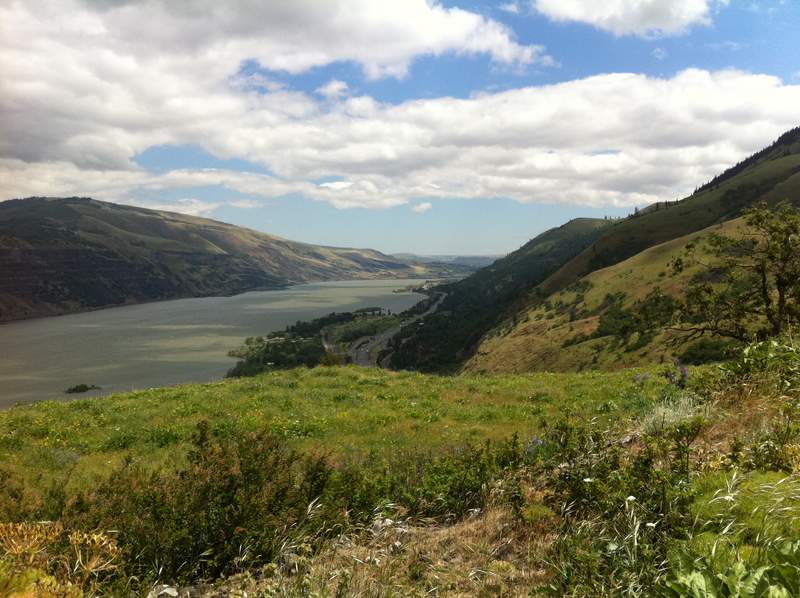
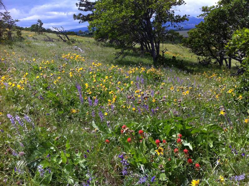
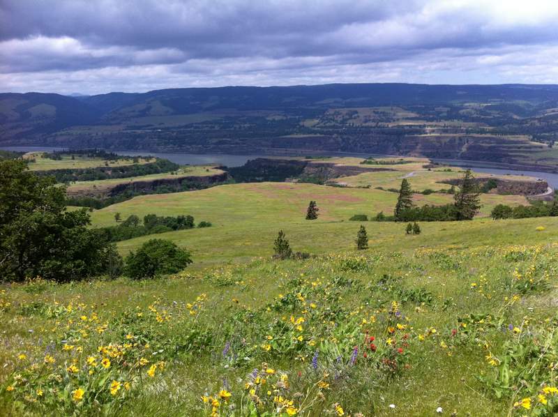
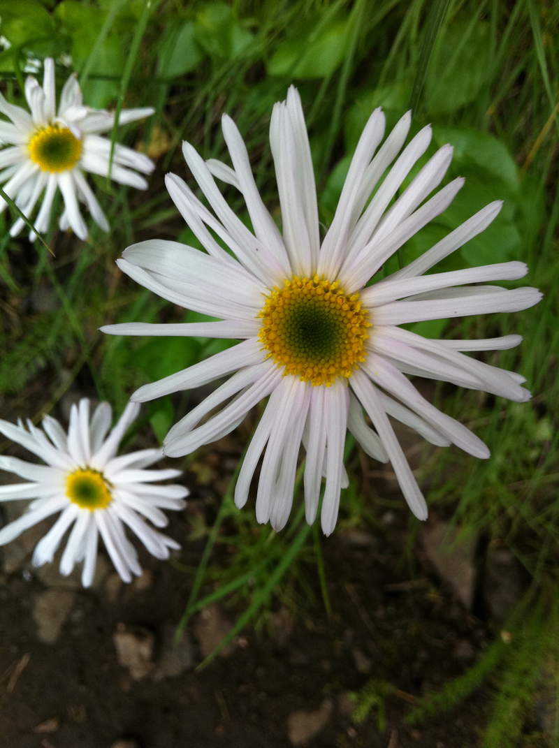
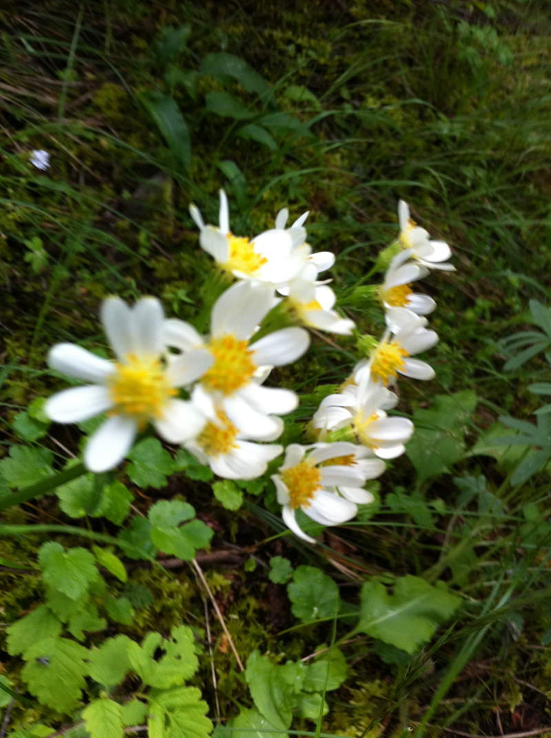
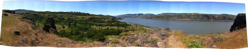
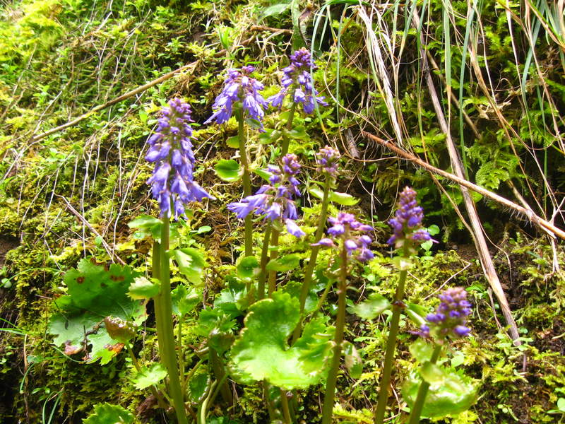
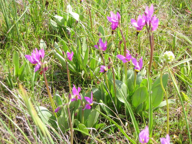
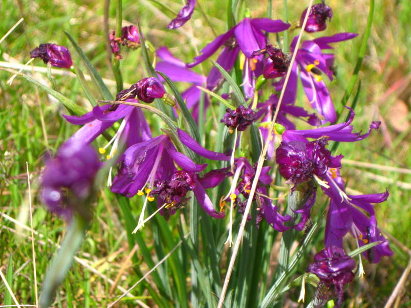
Tom McCall Point/ Rowena Plateau/ Memaloose wanderings
6 miles of hiking • 1250' elevation gain •
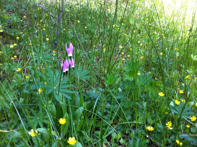
It was FEROCIOUSLY windy out there! The balsamroot was blowing away petal by petal.
June 6, 2011

 1
1
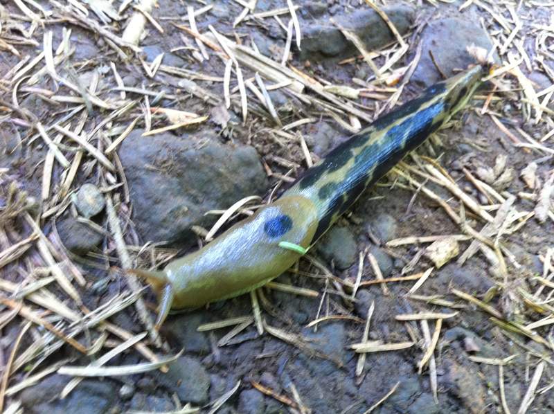
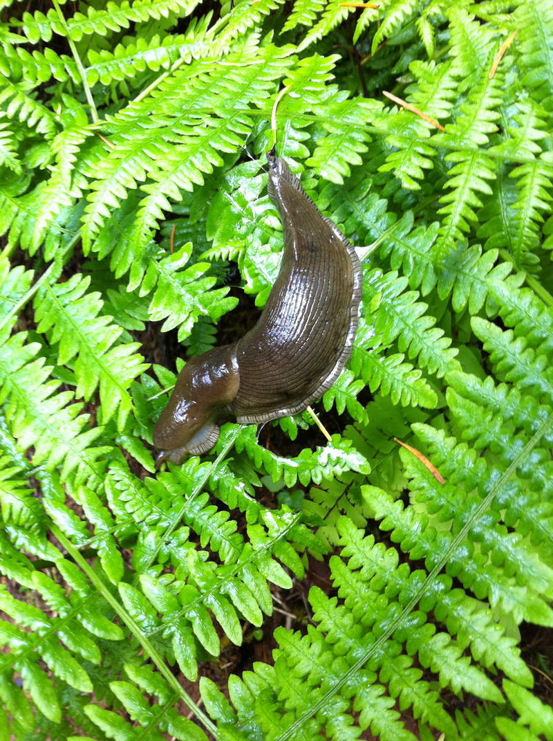
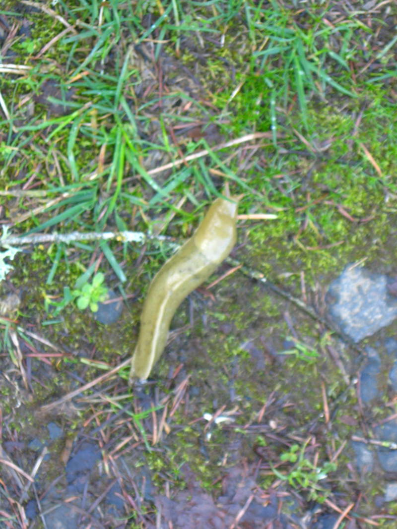
eagle creek
7 miles of hiking • 750' elevation gain •
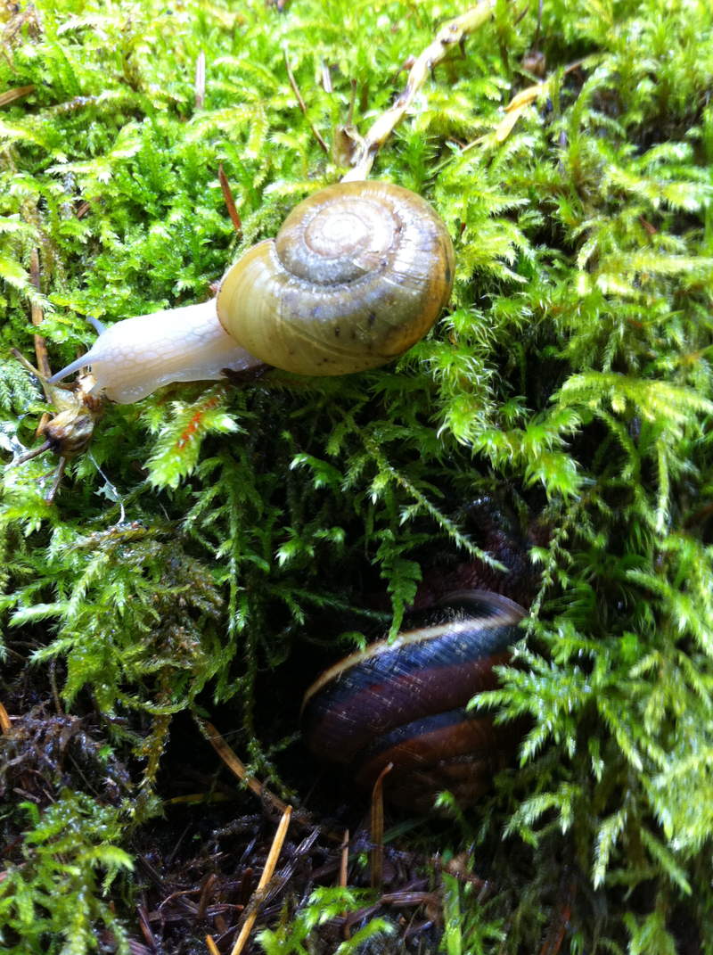
Went out to Eagle Creek today, saw lots of flowers, people and gastropods of all sorts.
June 1, 2011

 3
3
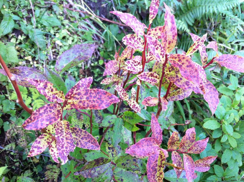
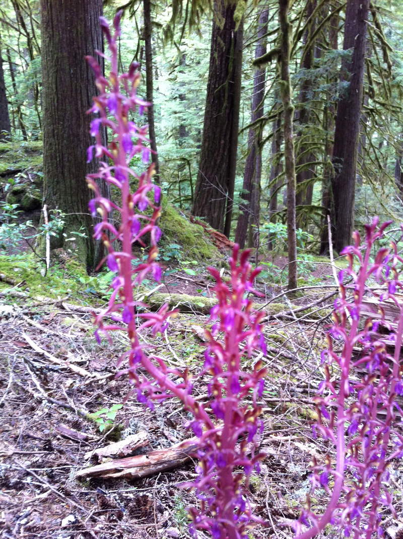
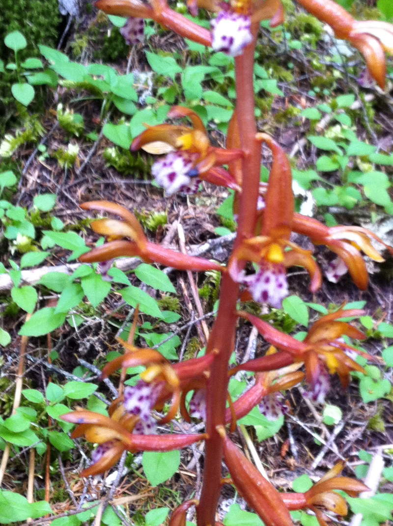
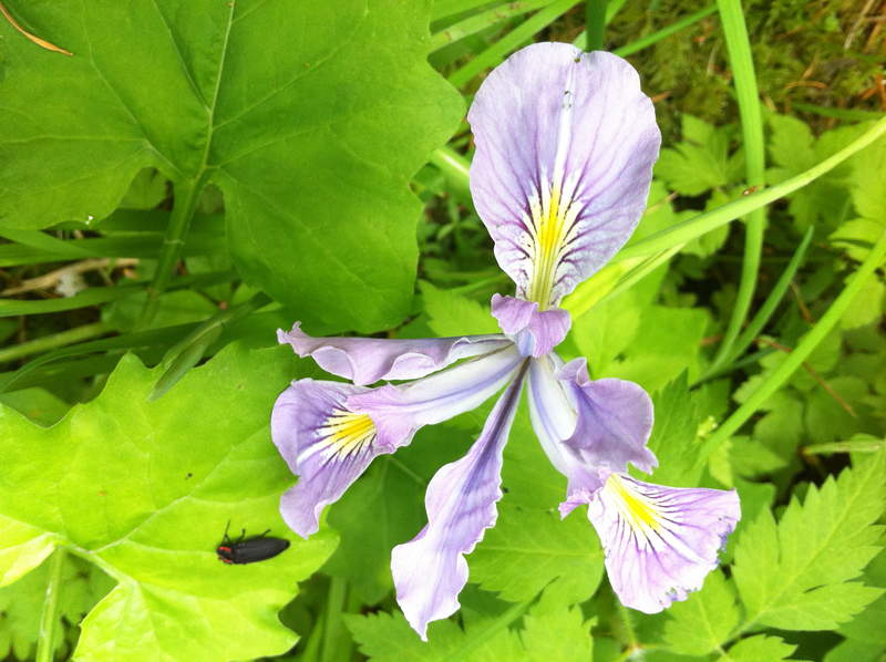
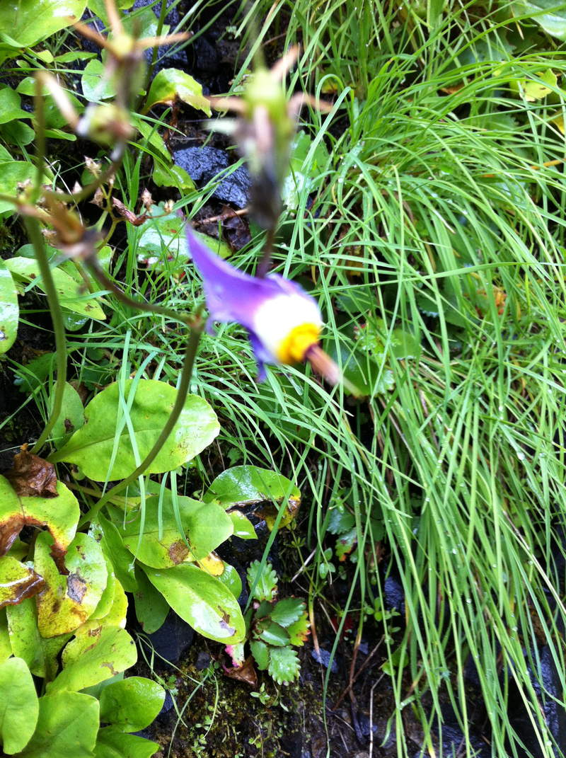
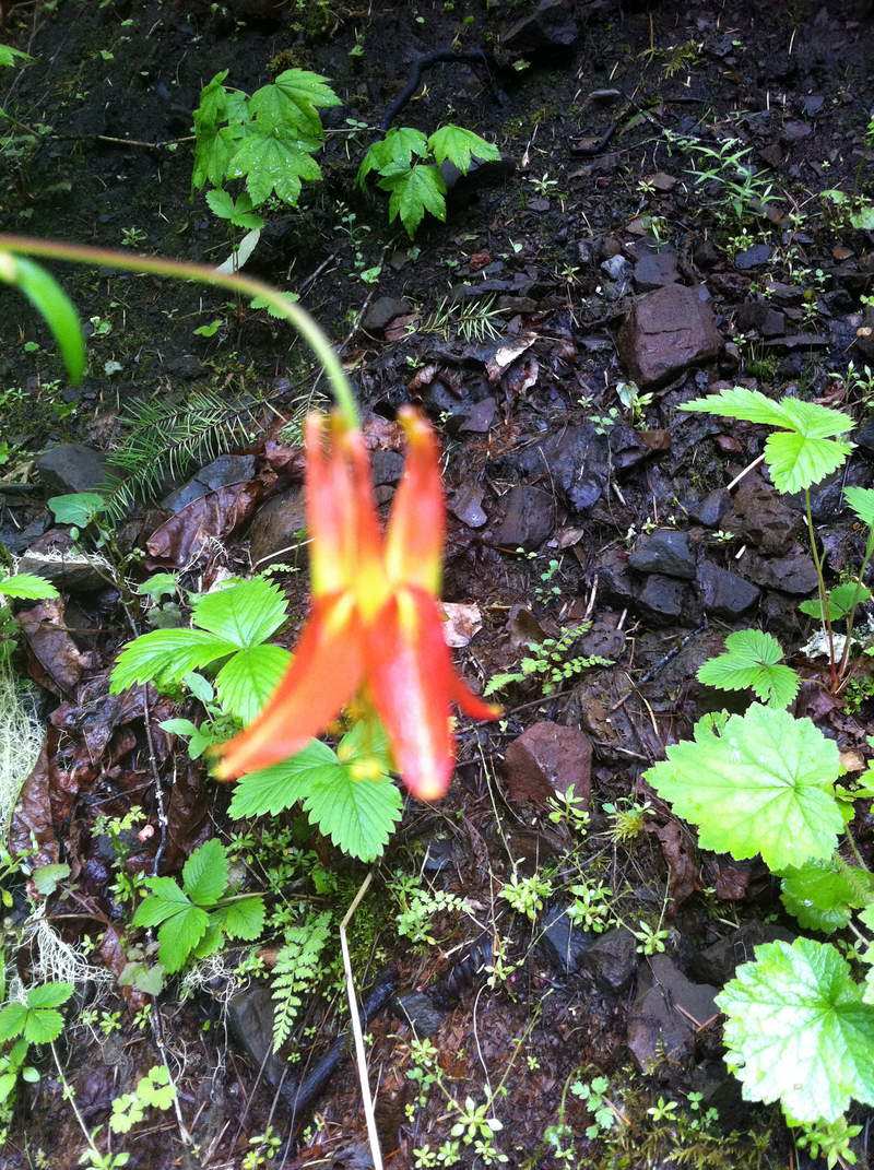
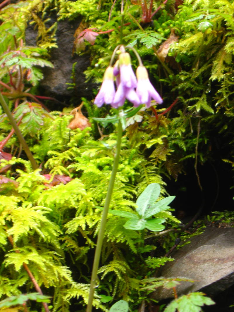
Mitchell Point /orchids galore / Elowah/Mc Cord
7 miles of hiking • 2000' elevation gain •
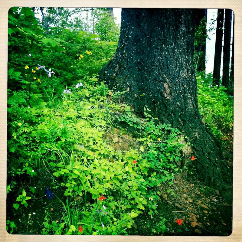
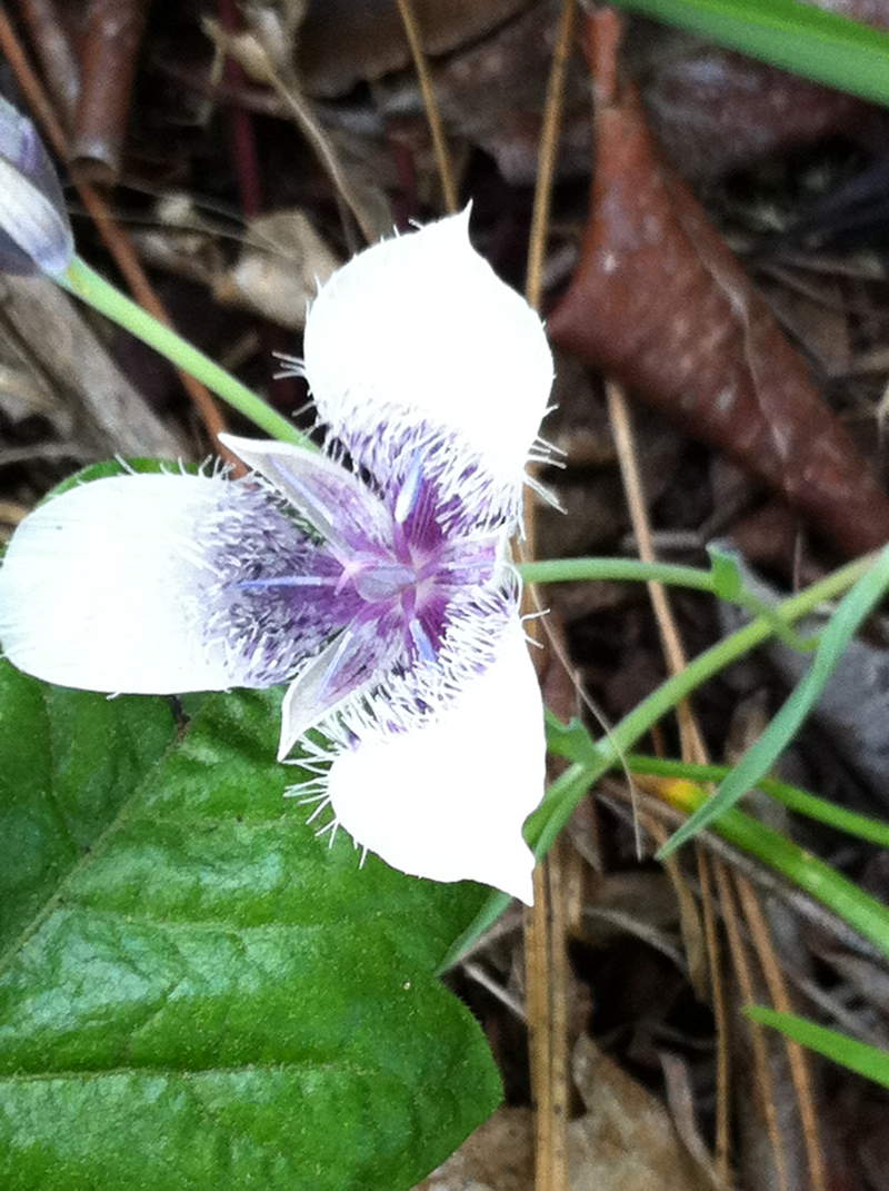
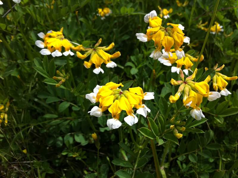
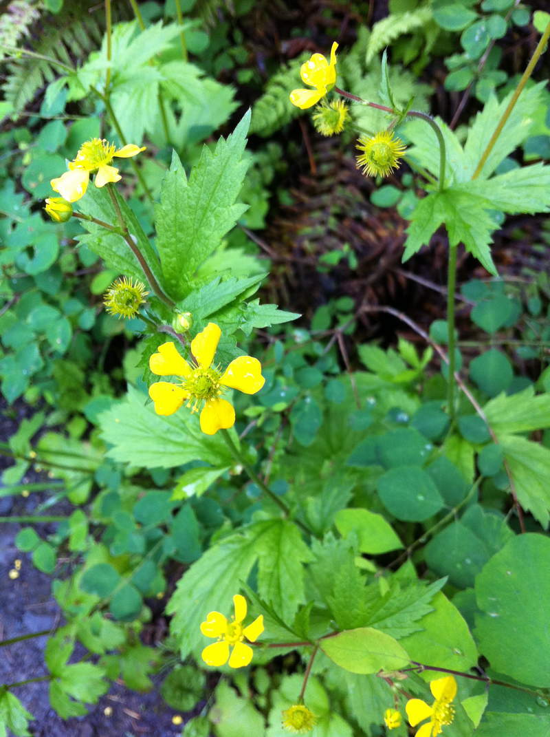
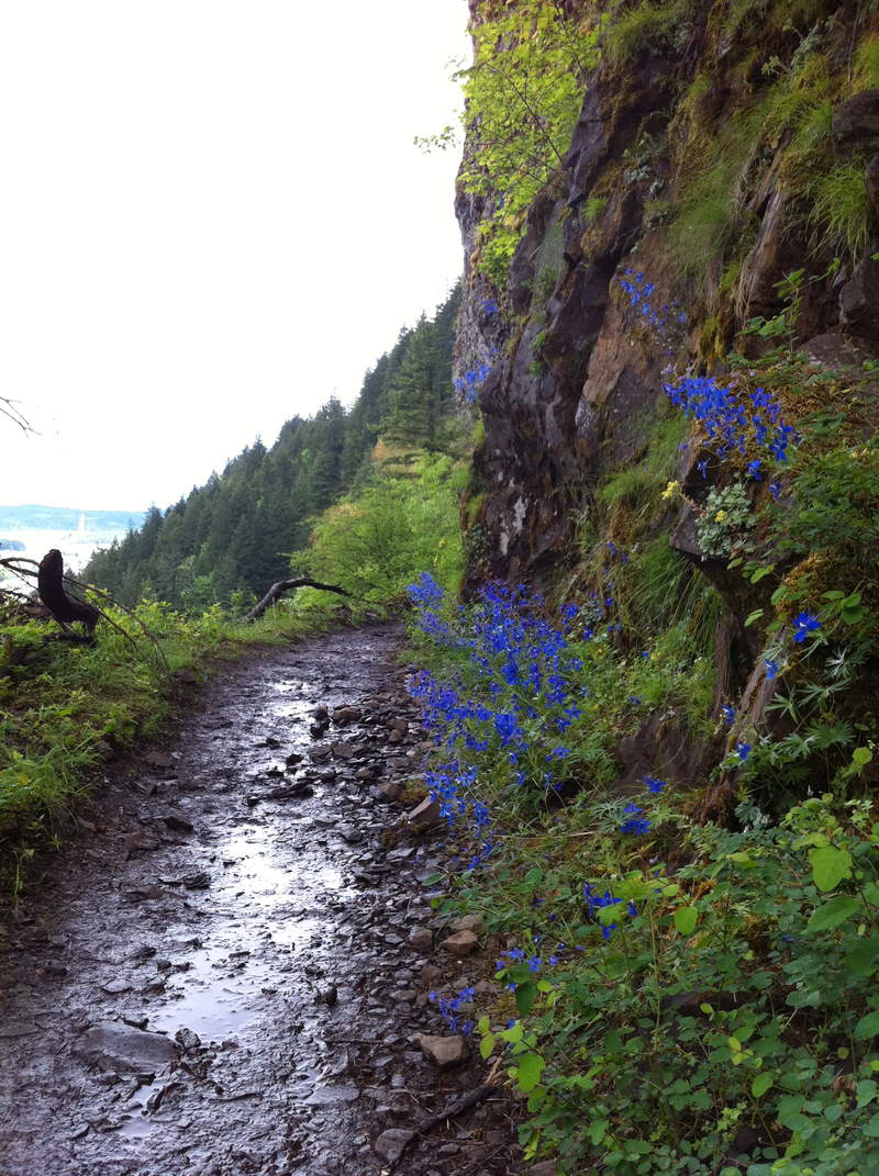
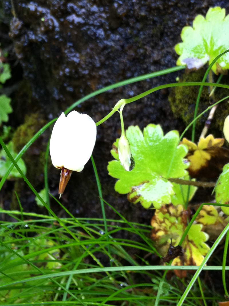
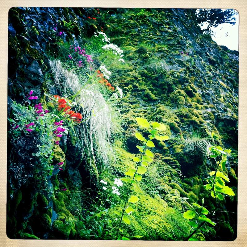
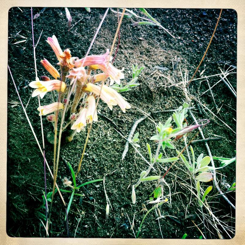
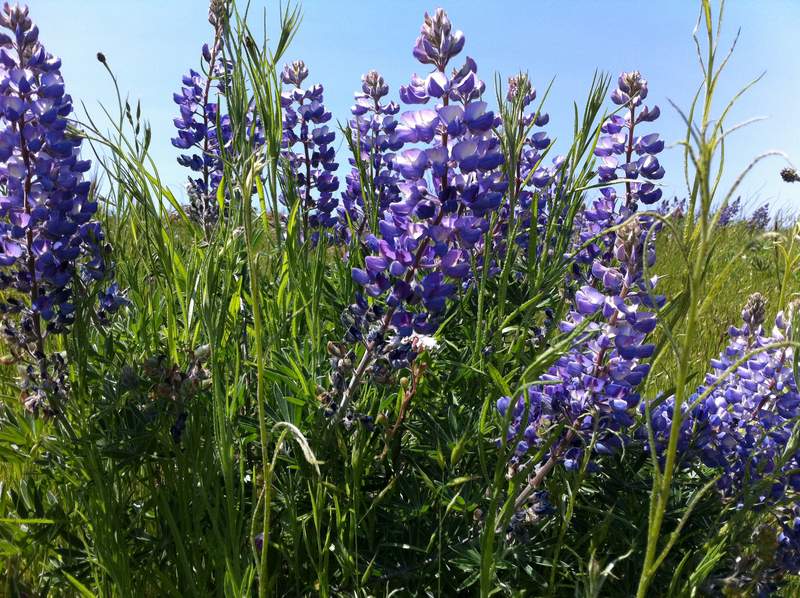
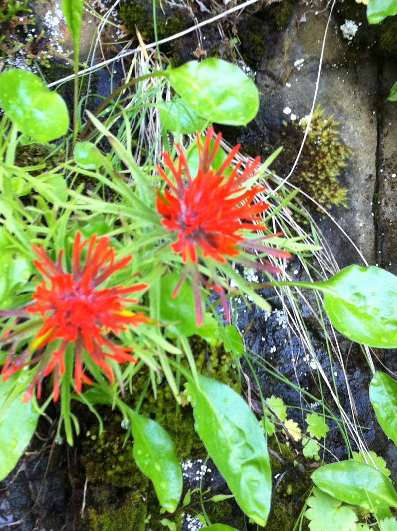
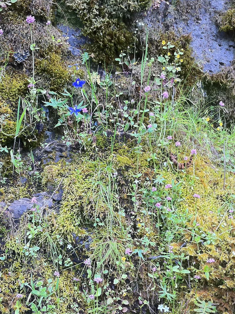
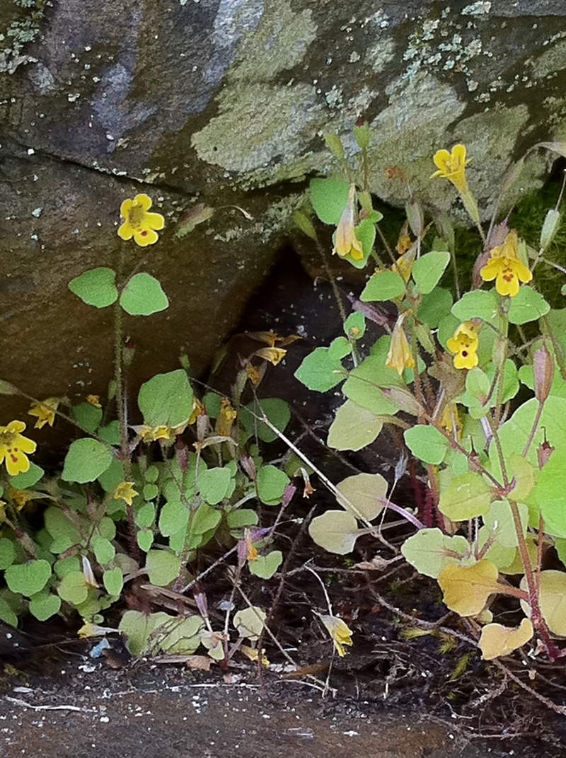
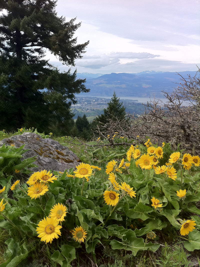
Started out the day hiking Elowah falls & Upper McCord creek. The cliff at McCord creek is exploding with color! Pink, Red, Purple, Yellow, white... Lots of cliff paintbrush, smooth leaf douglasia, larkspur, Howell's daisy, white shooting starts, hot pink rock penstemon and tons of 5 ft ferns. It really is a sight to see, and so amazing such a variety of colorful wildflowers can grow on a rocky cliff wall.
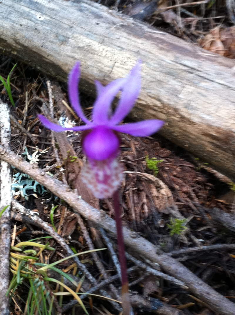
Next I ventured up to Mitchell point where I met a flower lovers paradise, along the trail I found 17, yes , SEVENTEEN calypso orchids! all within 20 feet of one another! It was amazing. I also came across a couple bunches of naked broomrape (tee hee hee) a ton of bright purple Oregon anemone's, and some tall white groundsel. It was sunny and warm(ish) in the Hood River area with some partly cloudy skies, lending to decent views, but no mountain peaks.
May 30, 2011

 1
1
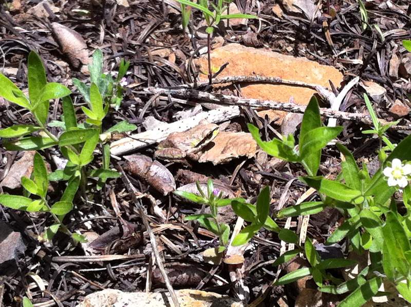
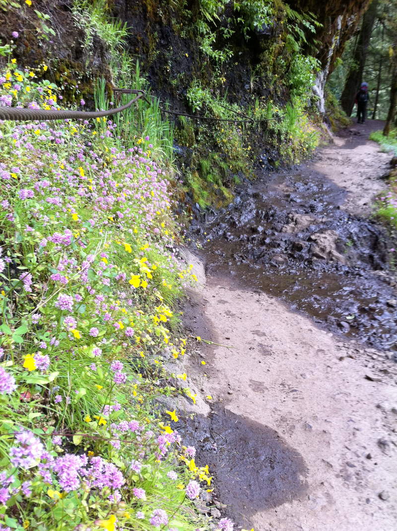
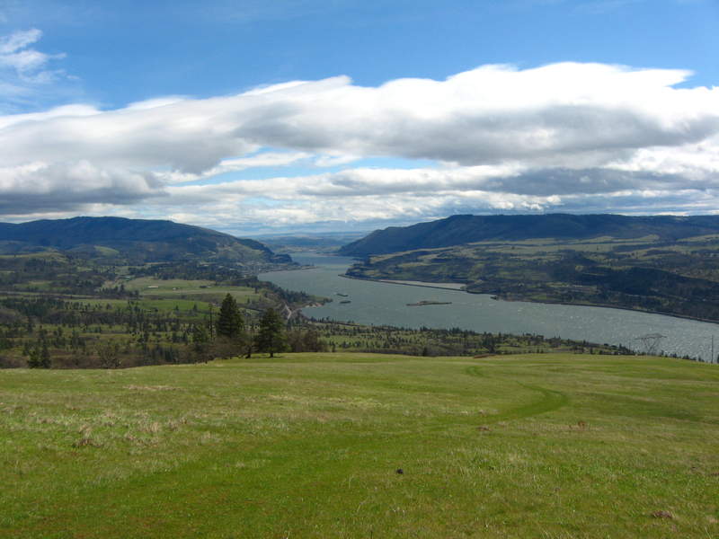
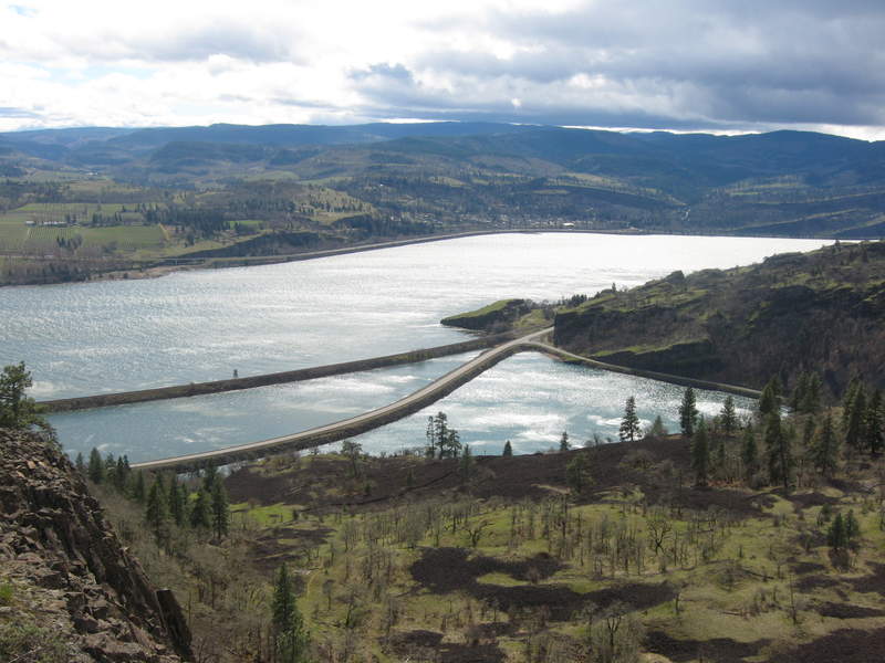
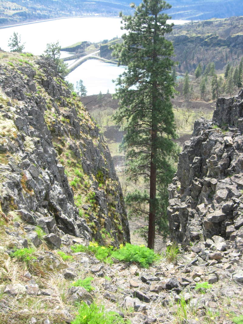
Dalles Mt/ Catherine Creek/ Horsethief Butte/ Lancaster Falls
11 miles of hiking • 2250' elevation gain •
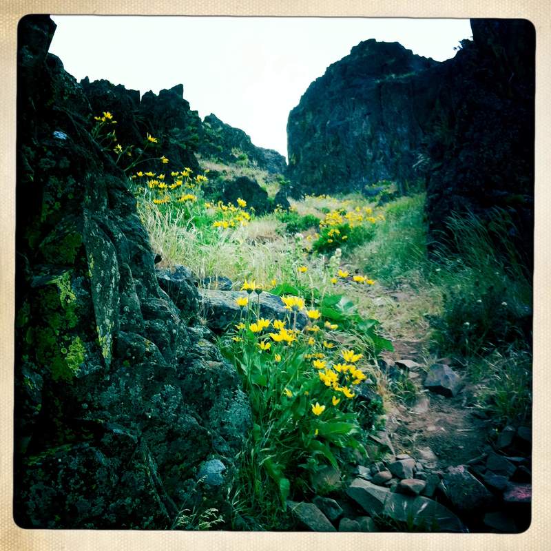
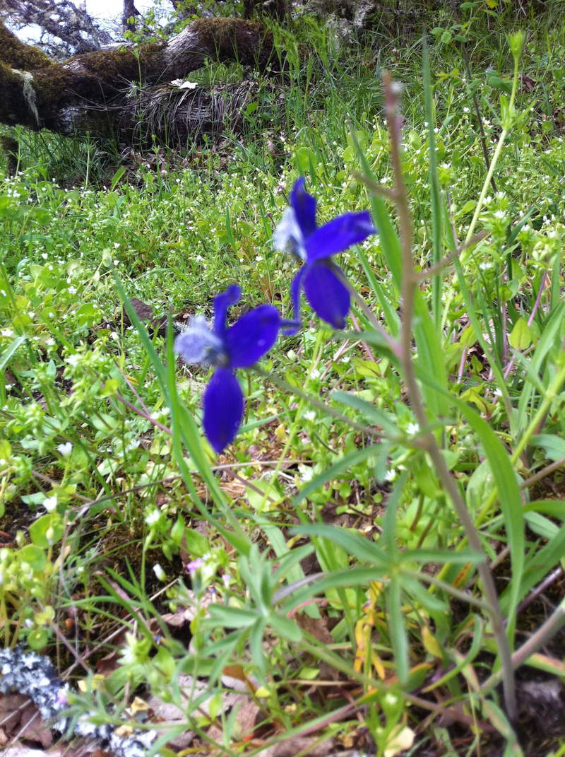
Today was another day centered around wildflowers. Being the childish potty humor loving person I am, I find "clustered broomrape" and "naked broomrape" to be the most hilariously intriguing flower names around! So it was the goal to find both today. Morning started out early at Horsethief Butte, in the beloved rain shadow.
Hiked all around the park, found a cluster of clustered broomrape right off the bat.
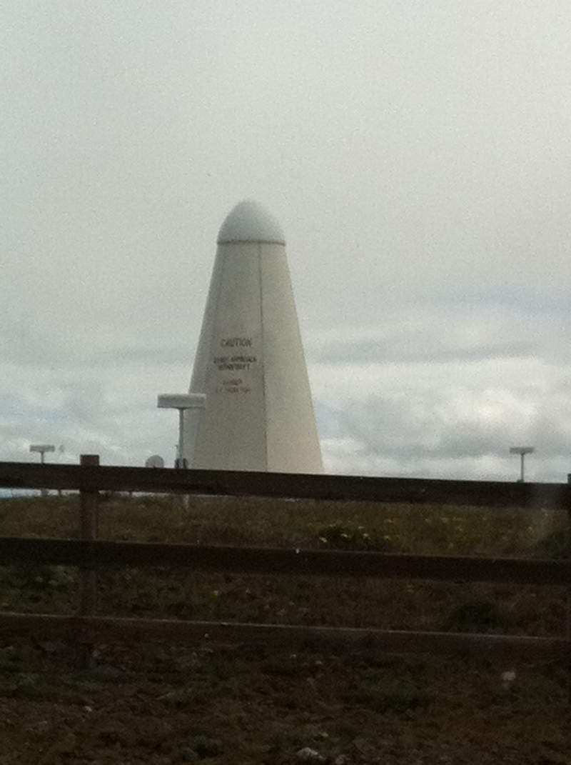
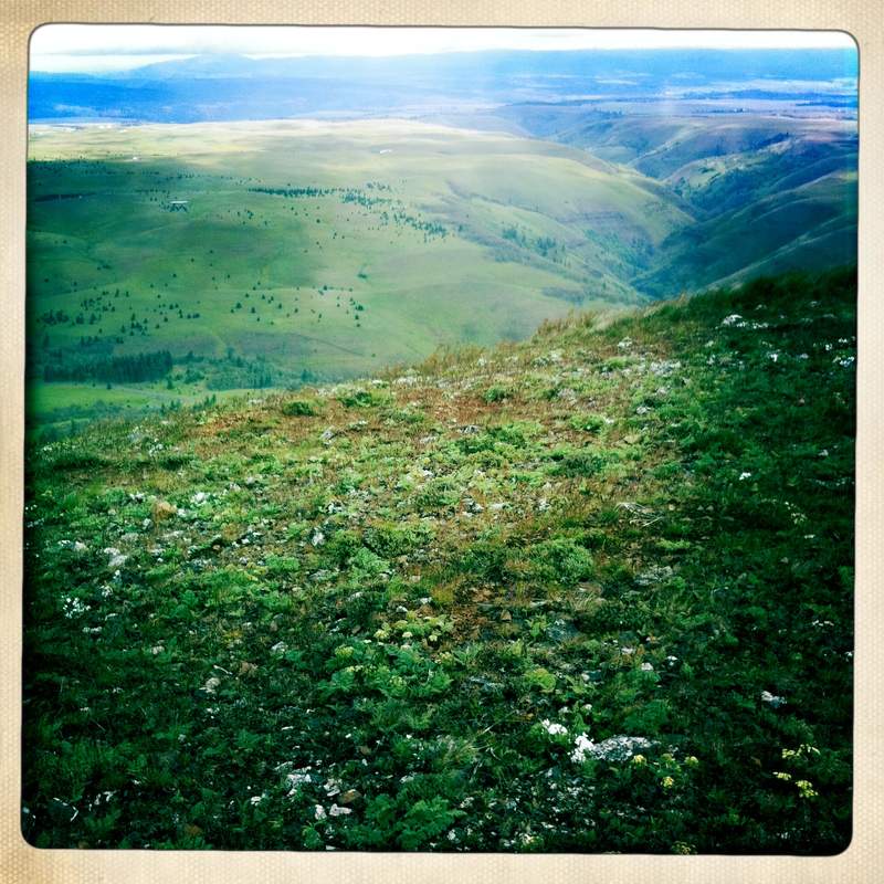
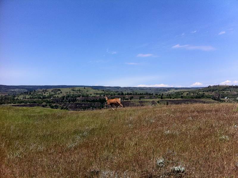
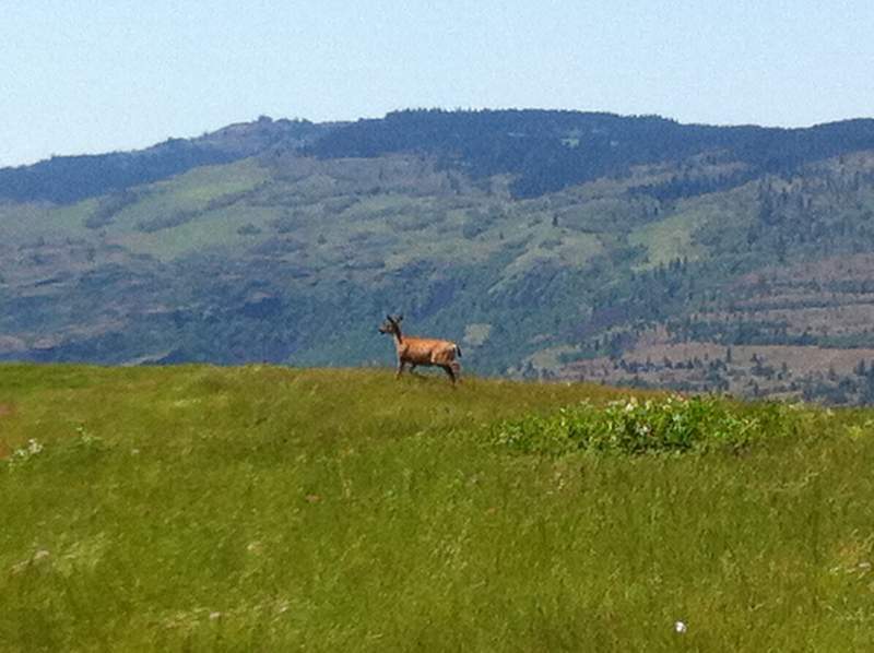
We then progressed down to Dalles Mt. Ranch for a windy hike up and around Stacker Butte. The dirt road to the trailhead parking had some pretty gnarly ruts in it, I was glad I didn't drive Purple Thunder, the 98 Nissan, you definitely want a little more clearance than that. We didn't see any people, but saw 4 deer, swifts, magpies and meadowlark; my kind of trail! To my disappointment and confusion there was a strange building up on Stacker Butte with some sort of radiation tank outside that said "danger: radiation, keep back 150 feet" Of course you need to get much closer than that to read the sign. Anyone know what this place is?
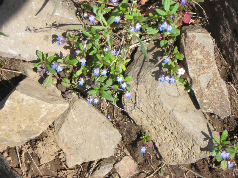
Next was down to Catherine Creek, to explore over on the arch side of the area. Saw some lizards and bitter root. And it was on this rocky terrain I realized that maybe it wasn't the best idea to wear my Keen sandals, as my feet were starting to feel funny. (kinda like a horse stepped on it!)
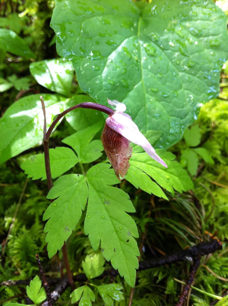
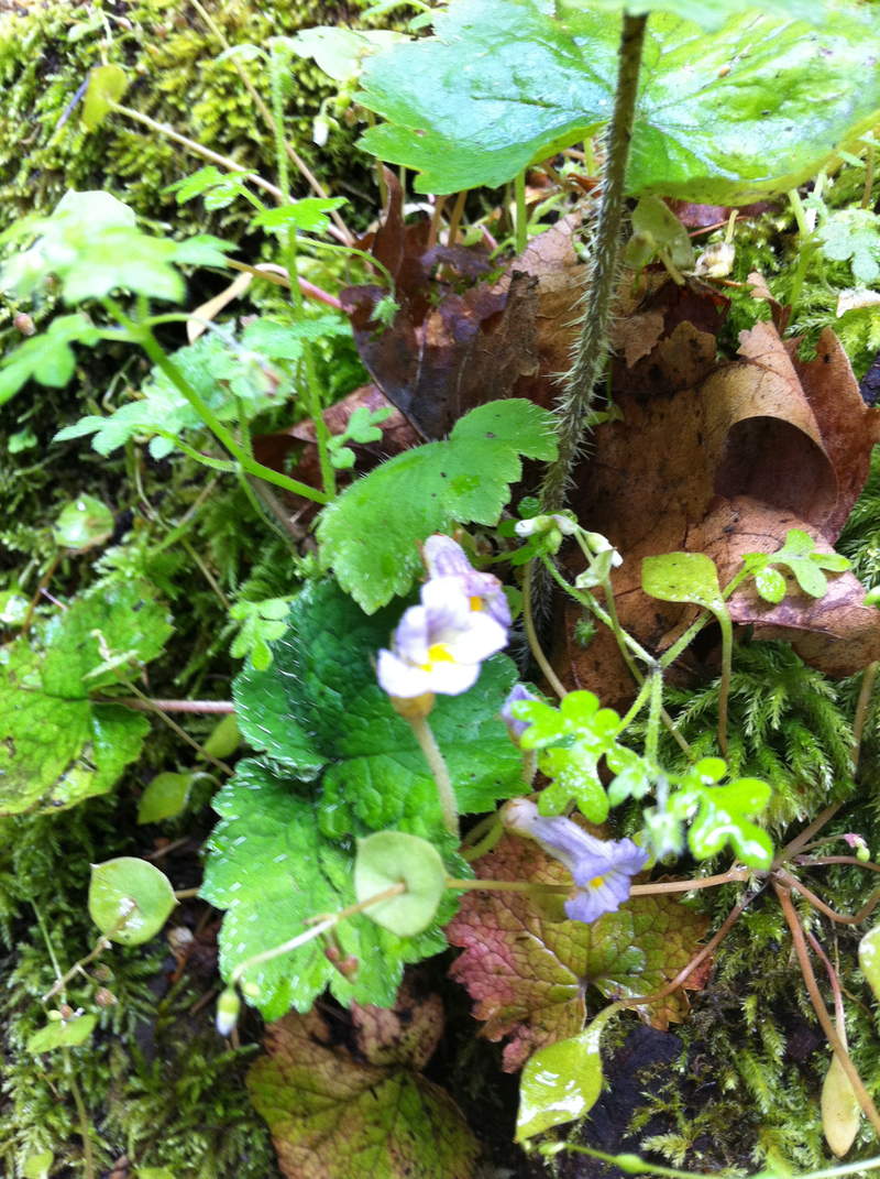
After exploring the eastern side of Catherine Creek area, we headed west back into the doom and gloom or the middle gorge. We stopped at Starvation Creek-Lancaster Falls to hunt for white shooting stars by the waterfalls, must have been to early because I didn't see any; however the trip was not a loss, because I found one lonesome Naked Broomrape (tee hee) next to a tree and saw another Fairy Slipper Orchid.
May 25, 2011

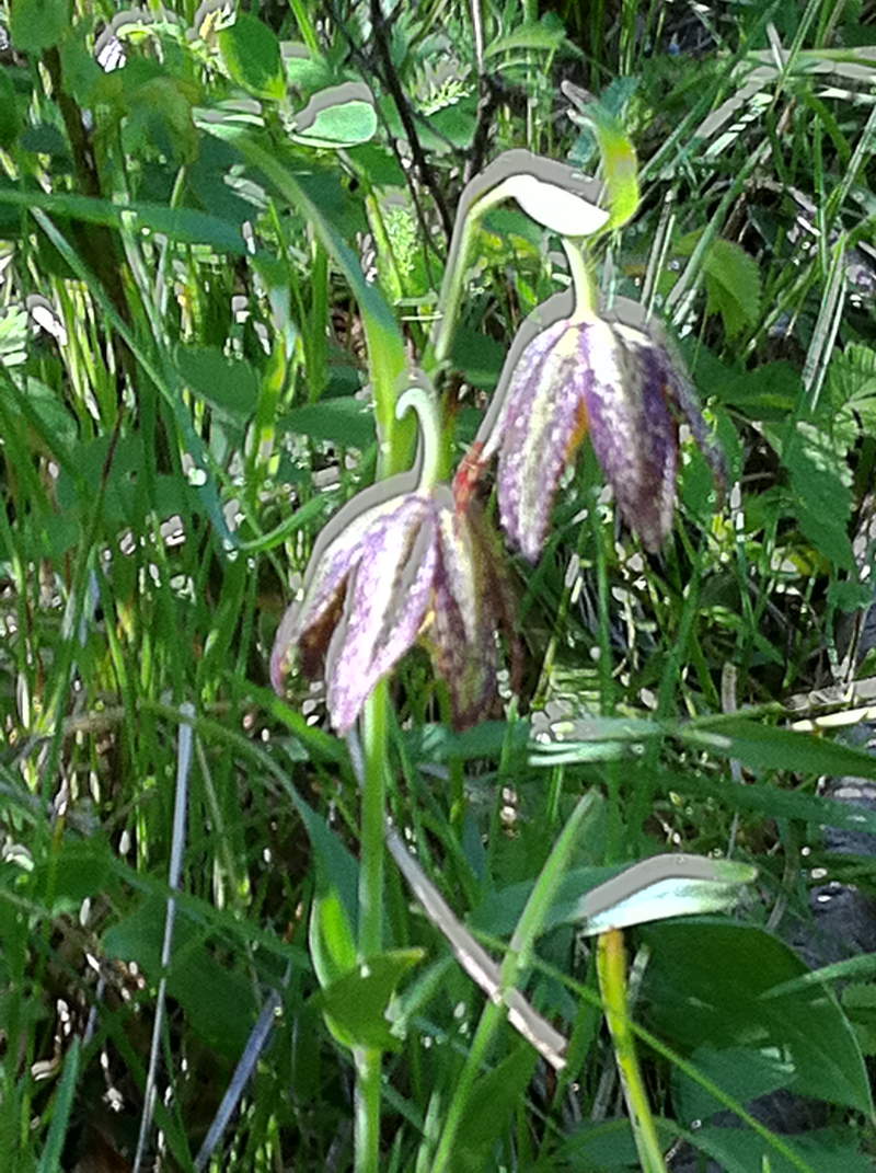
Hood River Mountain and Tom McCall
6 miles of hiking • 750' elevation gain •
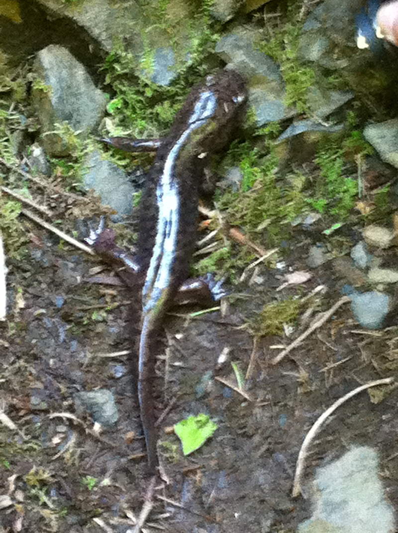
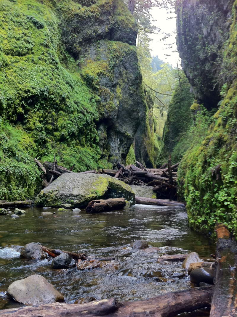
Headed out early this morning, making a stop up on Mt. Hood to enjoy some early morning tranquility and snow before heading down in to the Gorge for more flower hunting. Today was a very successful day, I came across both flowers I have been looking forward to all season, the Chocolate lily and the Fairy Slipper Orchid, both of which we found at Hood River Mt. We arrived at 8 am and were the only ones, by the time we left there were about 6 other cars and some horses. Next we headed down to the Rowena area for more flowers. And finally we made a stop at Oneonta Gorge on the way home, where I stumbled across a 10-11 inch giant pacific salamander! Truly an awesome day "treasure hunting" in the Gorge, and made it home by 2 pm.
May 23, 2011

Tom McCall Preserve
2 miles of hiking • 250' elevation gain •
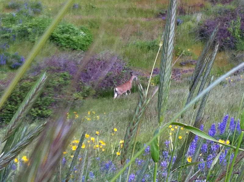
Pulled a muscle in my back, putting quite the damper on hiking, but I managed to make it out for a short hike so not to miss out on the flowers. A deer jumped right out in front of us on the trail, which I was not expecting in such an open area.
May 17, 2011

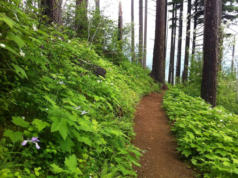
Wildflower Hunting in the Western Gorge
6 miles of hiking • 1000' elevation gain •
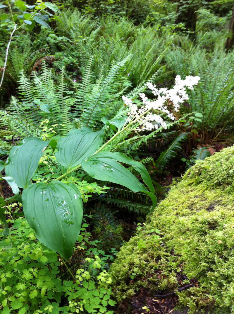
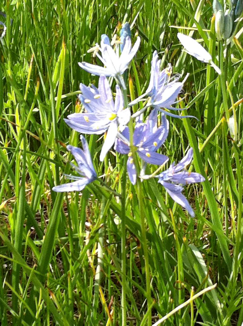
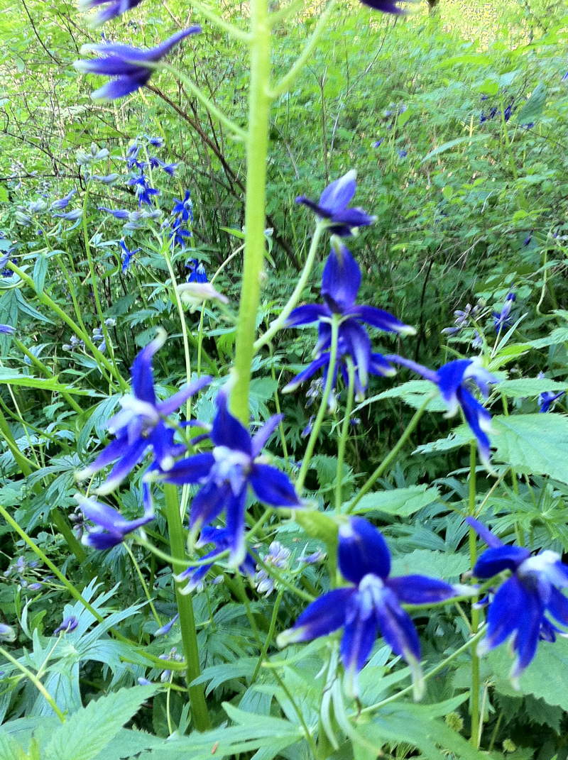
We went out today to explore the western side of the Gorge in search of wildflowers. Was realllllly hoping to locate a Chocolate Lily, but no luck today. We explored around John Yeon and Upper McCord Creek, Ainsworth Loop, Oneonta Gorge, Sheppards Dell, Bridal Veil (mmmmmmm Camas) and upper and lower Latourell. Upper McCord Creek had some lively red Paintbrush growing on the cliff, also lots of larkspur, Corydalis, bleeding hearts and buttercups. Bridal Veil was OVERFLOWING with Camas! WOW! it was amazing. Latourell had some beautiful Larkspur as tall as me, I am not very tall, but its still impressive. All and all a pretty productive afternoon, as far as wildflowers go.
May 11, 2011

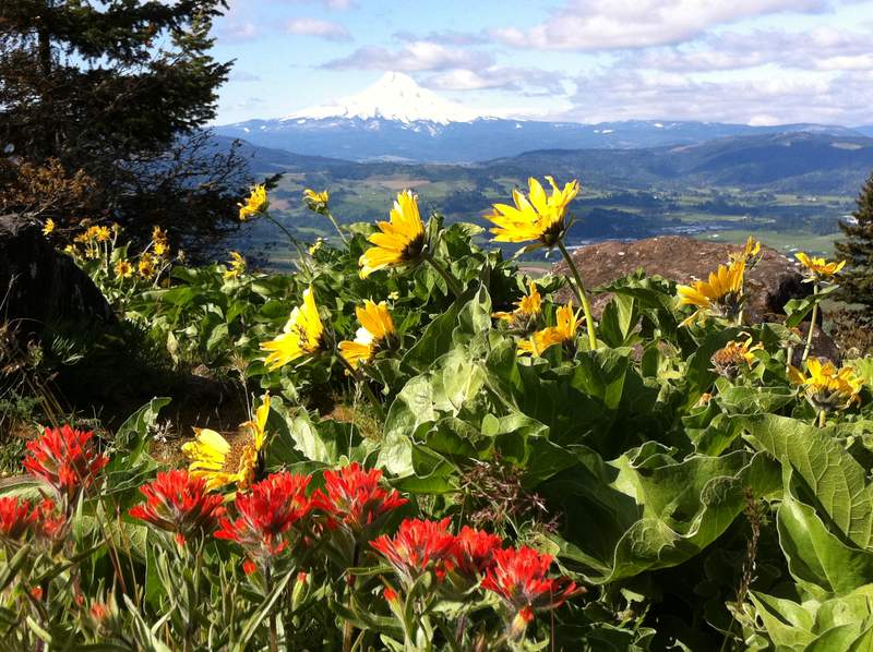
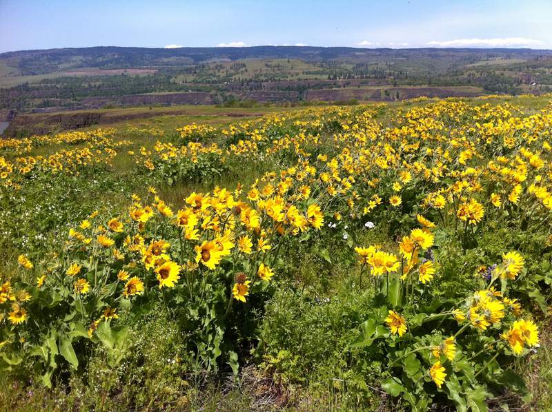
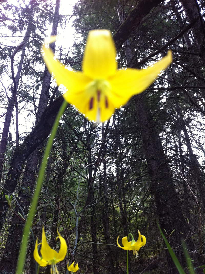
Hood River Mountain
3 miles of hiking • 750' elevation gain •
Today we intended on biking on the Historic Columbia River state trail from Hood River to Mosier and another short jaunt on the trail farther west, but the bike rack was being very uncooperative so hiking it was!
Made a short trip up Hood River Mountain to check out the wildflowers.
Lots of Balsamroot are blooming and a few Indian Paintbrush are poking up here and there. It was very beautiful. It was however a bit cloudy out so I was only able to see the bottom third of Mt. Hood. There was also a nice patch of glacier lilies near the beginning of the trail. I Intend to do this hike again next week (this time on a clear day) on the way out to the Tom McCall area for more wildflower viewing.
May 10, 2011


Wahkeena-Multnomah Loop
5.5 miles of hiking • 1500' elevation gain •
Did the loop starting at Wahkeena today. LOVE wahkeena springs, its one of my favorite places to visit in the Gorge. The trail looks a lot different then the last time I visited it in the snow. The trail was pretty empty until we got to the junction with Larch Mt trail where we met a group of hikers having lunch; and of course we saw the usual slew of hikers on the Multnomah section of the trail, you know the ones who won't even look you in they eye as they pass. All and all a nice hike!
April 26, 2011

Wachlella Falls/ Elowah Falls
4 miles of hiking • 750' elevation gain •
Had to go to the Gorge for some work-related stuff today and figured why not knock a few short hikes off the list afterwards. That list being the Friends of the Gorge 25 trails/ 25 years list. While I had already done these earlier this year, the challenge takes place from April-October so a re-tracing of steps was in order, and who could ever complain about having to revisit several beautiful waterfalls?
https://org2.democracyinaction.org/o/5111/p/salsa/event/common/public/?event_KEY=39284
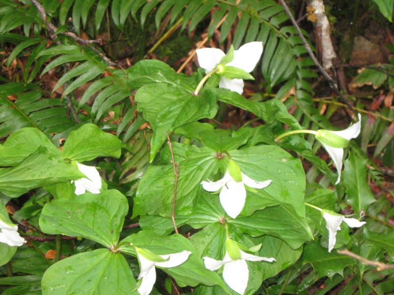
The brief cessation of the rain drew quite the crowd to the Gorge today. The Angels Rest parking lot was completely full. Quite a few wildflowers were blooming along the trails, trilliums, bleeding hearts, yellow bells and a handful of purple ones I don't know the name of just yet. Maybe in a few more weeks the trails will really be exploding with color.
First we went to Wachlella, then stopped by Elowah Falls at John Yeon on the way back into town.
April 6, 2011

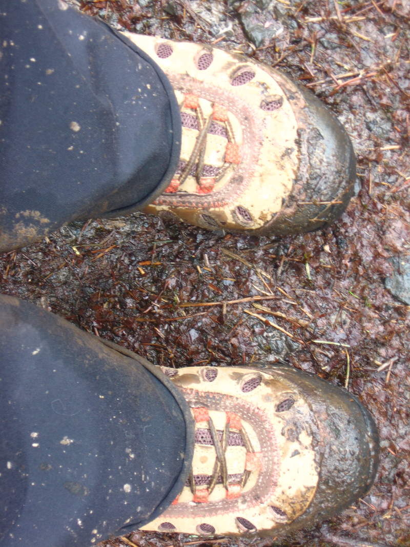
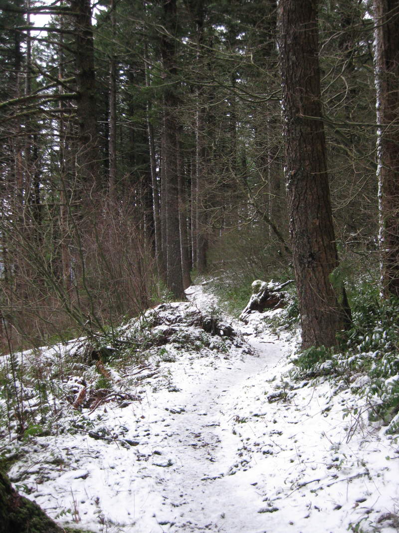
Forest Park, Wildwood/BPA and such
6 miles of hiking • 1000' elevation gain •
Luckily we got a late start to the hike (1:30) and missed out on all the hail that happened around noon, my friend even reported some snow mix just a couple miles from here! I could have sworn the calendar said April.
Decided to break in my new boots today and see how waterproof they were on the soggy muddy trails of Forest Park. They passed the test!
Yet another empty day on the north side of the park, hundreds of trillium in bloom.
18 of 81 miles of the All Trails Challenge done.
April 5, 2011

 1
1
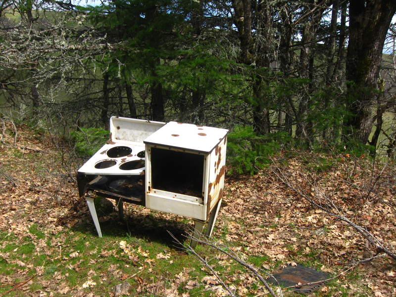
Catherine Creek to Coyote Wall/Cathernie Creek West Loop
7 miles of hiking • 1750' elevation gain •
Well let me just say it felt amazing to be hiking in the sun with temps in the mid 60's. felt much warmer with the warm breeze. On our drive up the Gorge to Catherine Creek we were a bit worried about the weather conditions, between Angel's Rest and John Yeon it was too foggy/rainy to even SEE Washington across the River.
Once at the trail we went up and to the right (rd 20) and followed that up marveling at the flowers and rolling grassy hills, we also found an abandoned stove/oven on a spur trail, interesting...once we reached the turn around by Coyote Wall we turned back and headed down the large grassy hill near the power lines to meet up with the Catherine Creek west loop to make our way back to the car.
It was a beautiful day with many gorgeous flowers. Saw quite a few of the shooting stars, those are some of my favorites. We also saw quite a few turkey vultures flying over Rowland Lake.
Of course no Washington Gorge hike is truly complete until you visit Walking Man Brewery, which was our last stop.
All and all it was a great day, even got a little sun on my face.
March 30, 2011

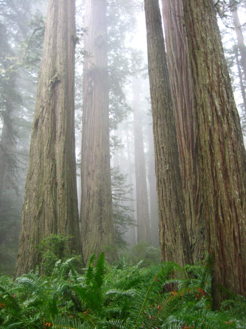
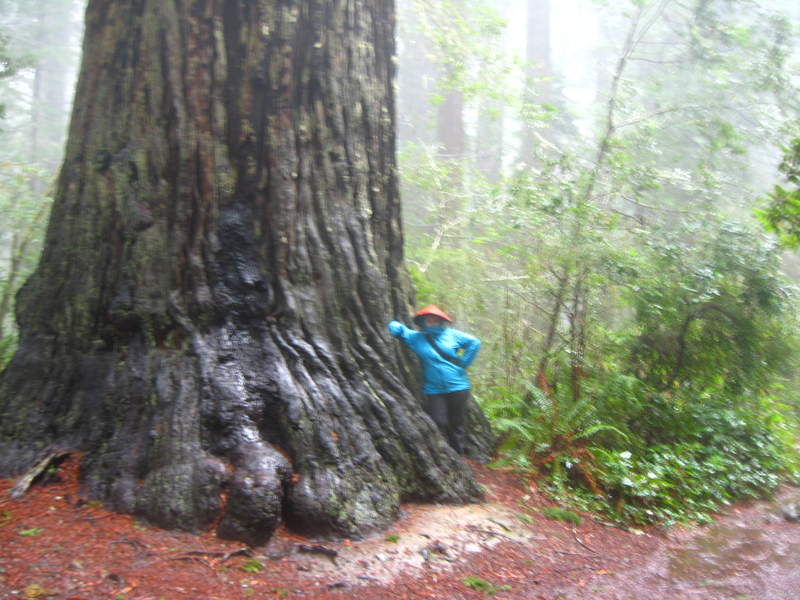
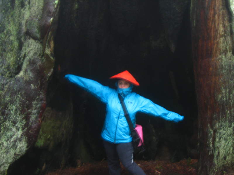
Lady Bird Johnson Grove
2 miles of hiking • 0' elevation gain •
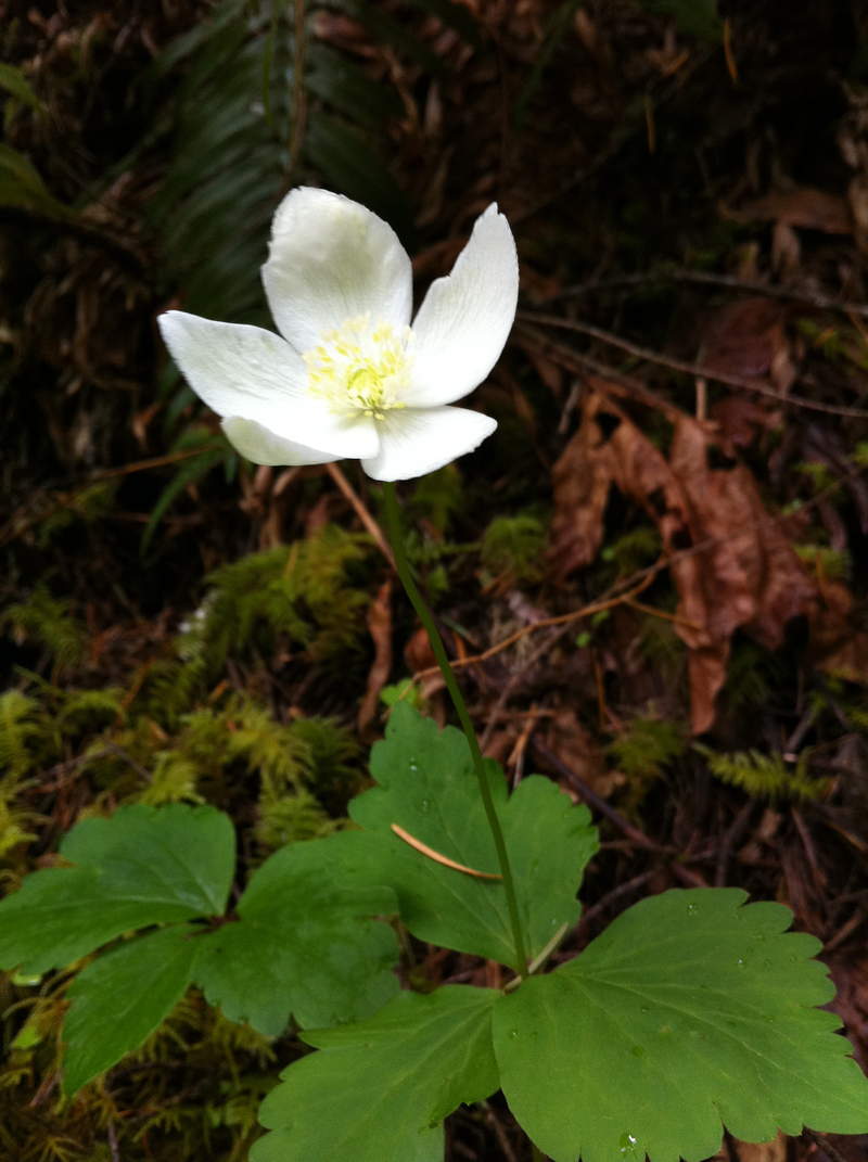
Torrential downpours, extreme wind, flooding etc kept us from doing a lot of the hiking we had planned for the Redwoods. Many places inaccessible due to flooding (Ex: Fern Canyon) And some old growth areas (Tall Trees Grove) were off limits due to high winds and the danger of "widow maker" limbs falling from wayyyy highhhh up. It was my first visit to LadyBird, LOVED IT! And naturally with the weather conditions we had the whole trail to ourselves.
March 24, 2011

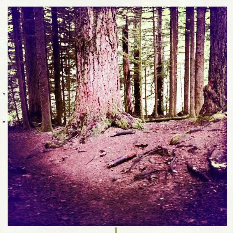
Forest Park, Fire Lane 5, Maple Trail, and more
12 miles of hiking • 1000' elevation gain •
The first hike of the All Trails Challenge Fund Raiser. Got" lost" due to lack of sign at trail junction, hence the need to raise some funds for dear sweet Forest Park.
March 16, 2011

Horsetail Loop
2.5 miles of hiking • 500' elevation gain •
The rain ceased briefly, prompting a short afterwork jaunt. Lots of interesting clouds in the Gorge today. Other than Multnomah Falls the Gorge was surprisingly empty for a Saturday.
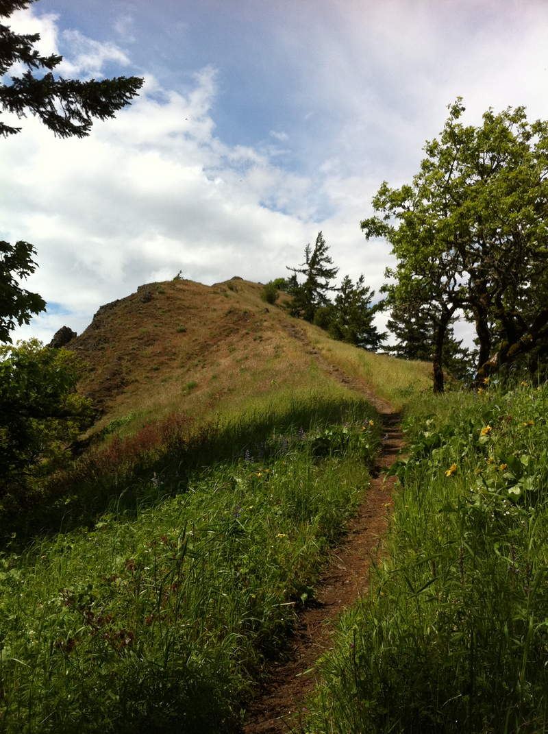
March 11, 2011

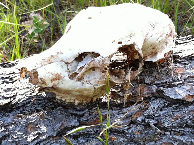
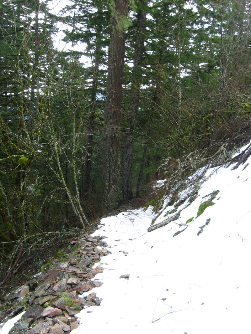
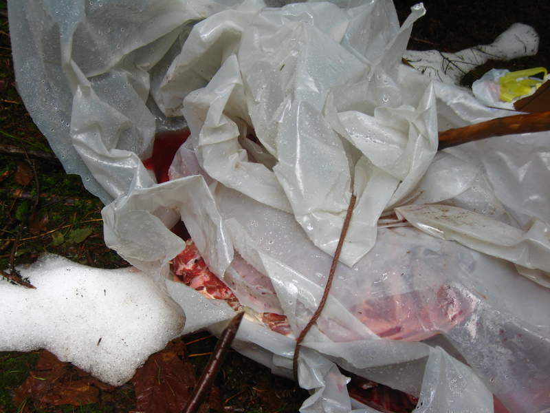
Wind Mt
3 miles of hiking • 1500' elevation gain •
sigh not so good at marking these hikes on the map! This was an amazing short hike, good workout, amazing views of the Gorge and Dog Mt, some Native history and a little snow! ICK, also found a goat carcass in the parking lot, wrapped up in a plastic sheet, with its guts in a separate bag. SUPER BUMMER.
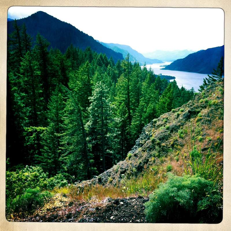
March 9, 2011

John Yeon Falls and 400 trail
4.5 miles of hiking • 500' elevation gain •
umm I didn't do so well on marking this on the map! Again one of my favorite hikes, I am to do this once a month, just too see how much the scenery changes throughout the year.
March 6, 2011

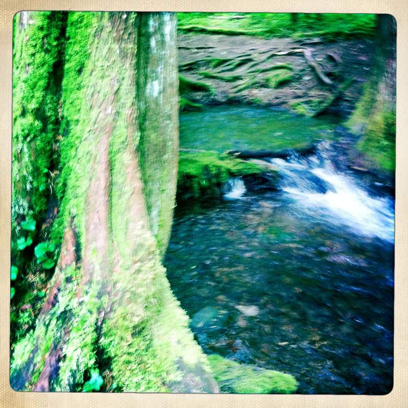
PhoebMonica Falls, The Sandy and Lower PhoebMonica Falls
4.5 miles of hiking • 1000' elevation gain •
2 days after a cougar attacked a woman's dog on the Sandy we decided to do some exploring on the Sandy. Saw some big prints in the mud, eeek
March 4, 2011

Fairy Falls
4 miles of hiking • 750' elevation gain •
We intended upon doing the Wahkeena-Multnomah Loop trail, but ankle deep snow, lack of waterproof footwear and trekking poles made it so we only got to Fairy Falls. It was a slushy, slippy haul.
March 1, 2011

Angels Rest and some wandering in the snow
5 miles of hiking • 1500' elevation gain •
experienced all types of weather on this one, rain, snow, hail, sunshine!
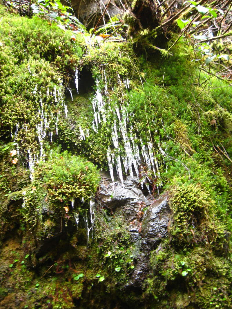
February 21, 2011

Triple Falls
4.5 miles of hiking • 1000' elevation gain •
I was surprised by what a busy day it was on this trail, on a chilly February Sunday. I saw about 2 dozen people. I guess the 3 day weekend had a lot of people out and about.
February 19, 2011

February 17, 2011


Latourelle
2.5 miles of hiking • 500' elevation gain •
Nothing says happy Valentines day like a solo hike after work!
February 13, 2011

Latourelle
2.5 miles of hiking • 500' elevation gain •
Just about the only hike I can fit in after work/before dark this time of year.
February 9, 2011

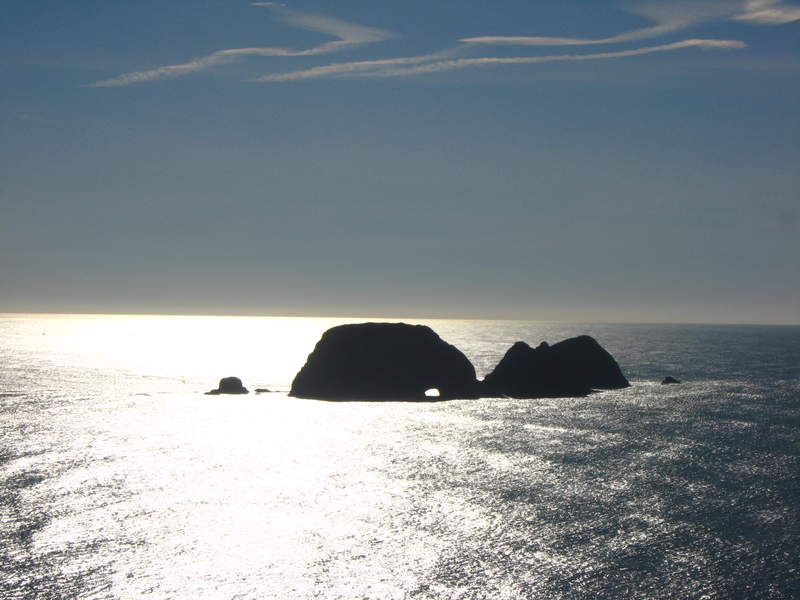
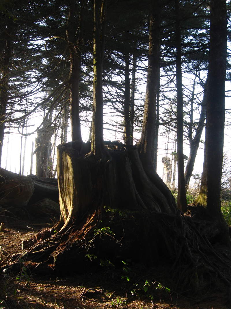
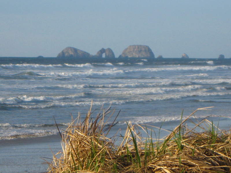
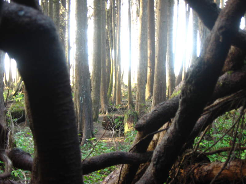
Cape Mears and Lookout
3 miles of hiking • 0' elevation gain •
A rare clear and sunny day on the coast, got a little bit of hiking in before it was time to head back to camp for chicken mole and beers and then a little more exploring in the AM before heading back to town.
February 8, 2011

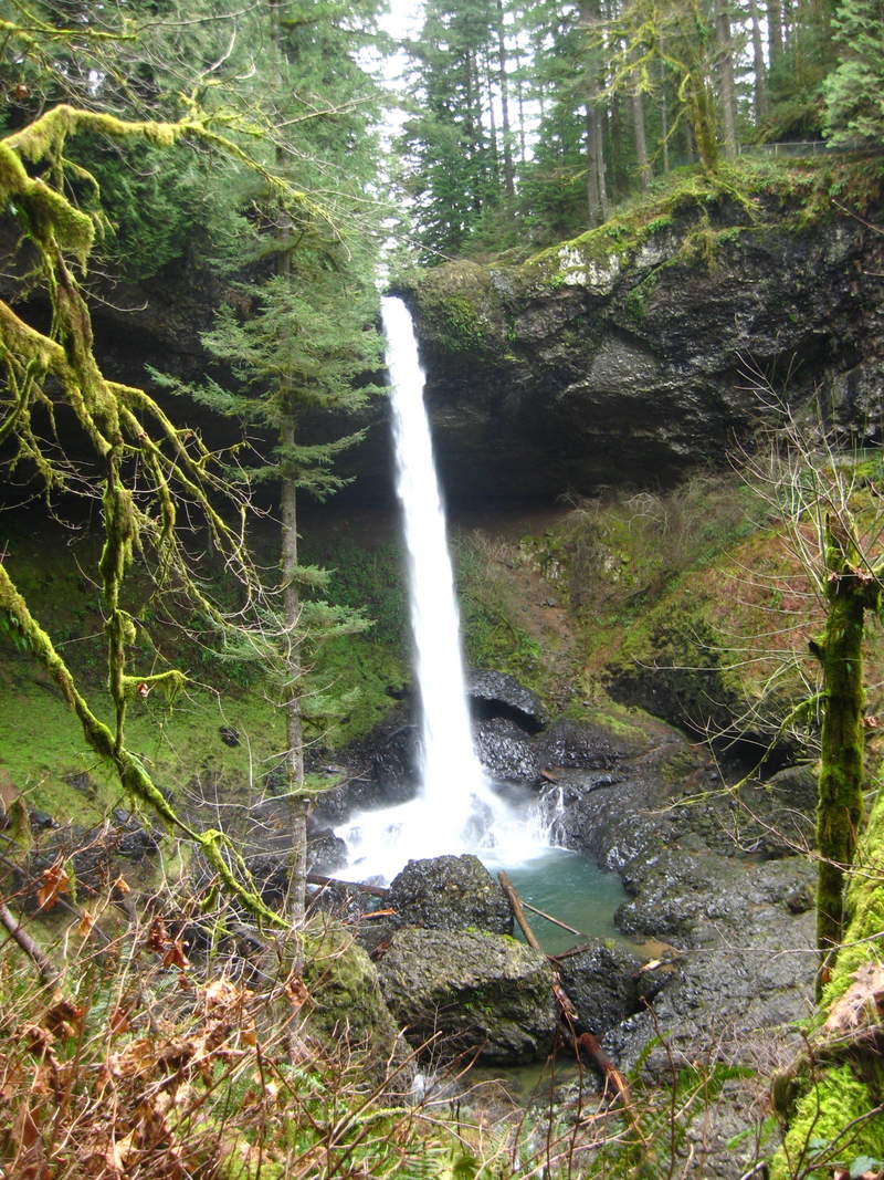
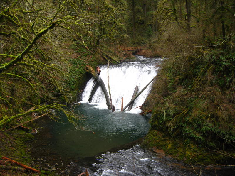
Trail of 10 Silver Falls
9 miles of hiking • 500' elevation gain •
This was my first visit to Silver Falls, we got an early start when the trails were still icy, and only saw about 5 other people the whole day!
February 2, 2011


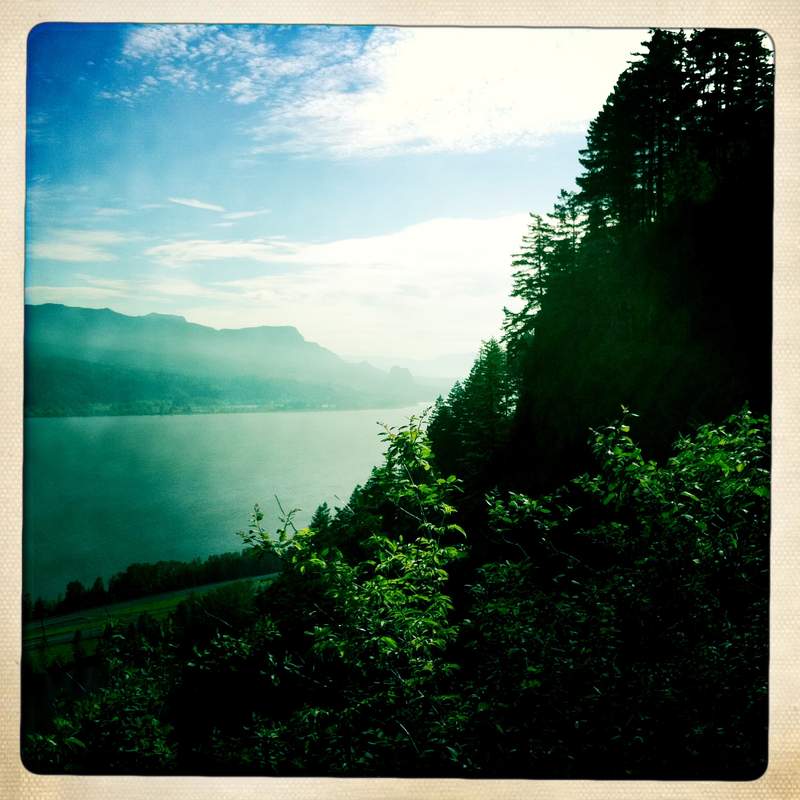
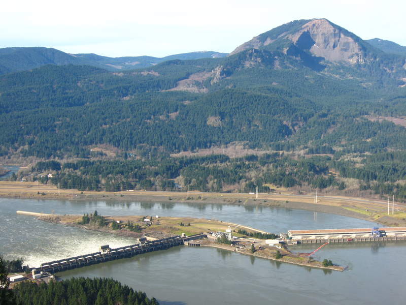
wauna viewpoint and some eagle creek too
7 miles of hiking • 1250' elevation gain •
I had seen this Wauna Viewpoint in my hiking book, but had always dismissed it. Today we gave it a try before heading out on Eagle Creek. It was lovely clear day and we had some pretty nice views for January, despite the power lines.
January 26, 2011

Rodney/Hardy Falls
3 miles of hiking • 500' elevation gain •
Beautiful Falls. Loved this little hike. Got a lot of sunshine and saw a large group of hikers coming down from Hamilton Mt on our way in.
January 25, 2011

PCT herman creek, dry creek falls, cascade locks, PCT falls
10 miles of hiking • 1000' elevation gain •
lots of wandering DOWN the road to see dry creek falls, when it is in fact UP the road
January 19, 2011


January 5, 2011

View trips from: 2012