2014 Trips


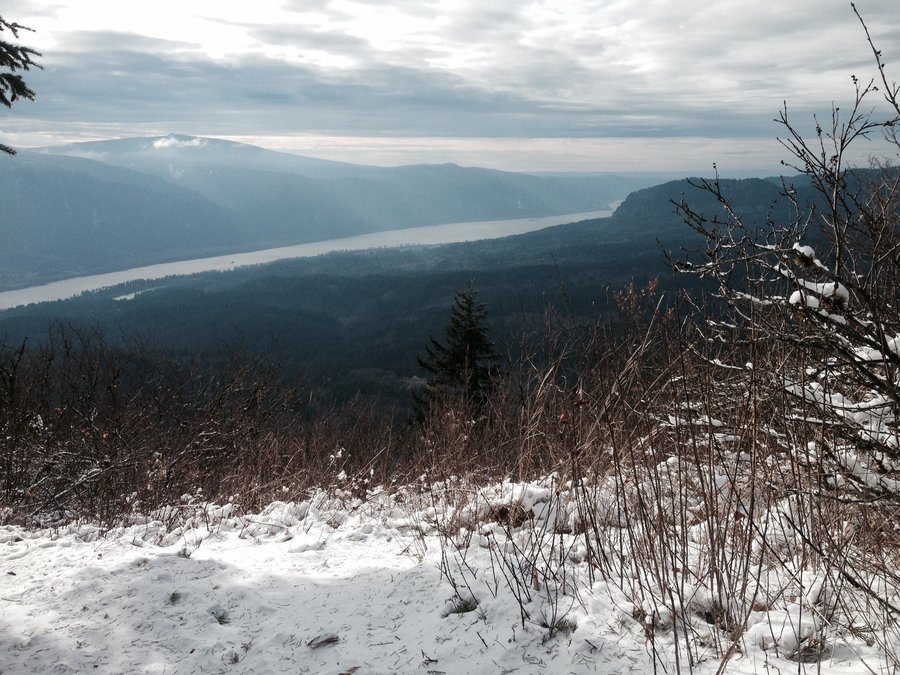
Table Mountain
8 miles of hiking • 3250' elevation gain •
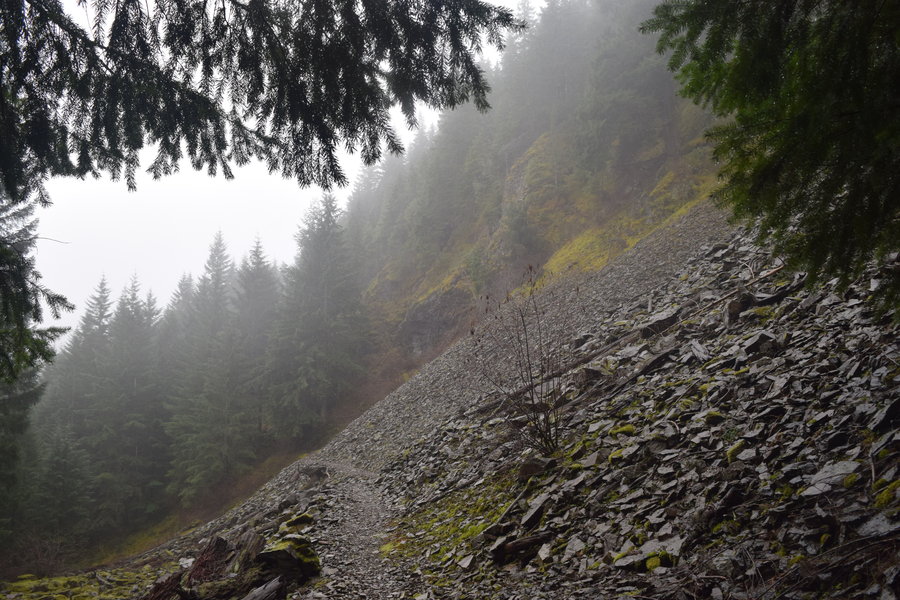
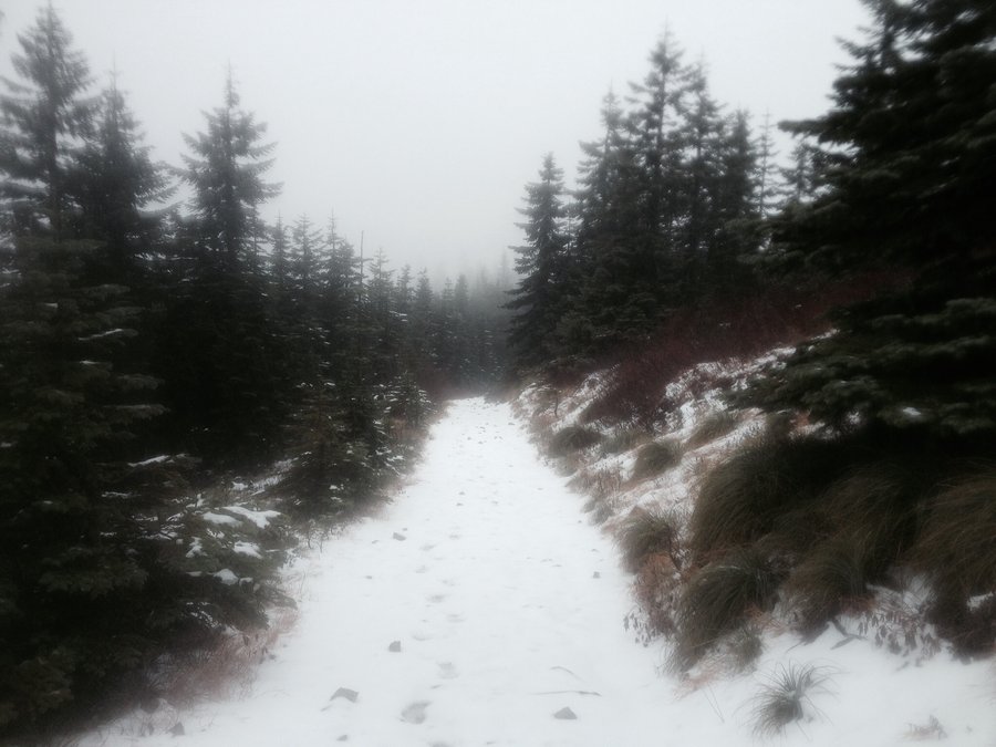
Second attempt to reach table mountain resulted in futility due to weather. This route started at the power lines (Aldrich Butte TH). It was cold and raining starting out but by the time I got to the steep, loose rock section of the west approach, the snow was coming down and the wind blowing hard. After losing the trail several times near the top, common sense won out and I slowly picked my way back down the steep access trail and returned.

December 28, 2014

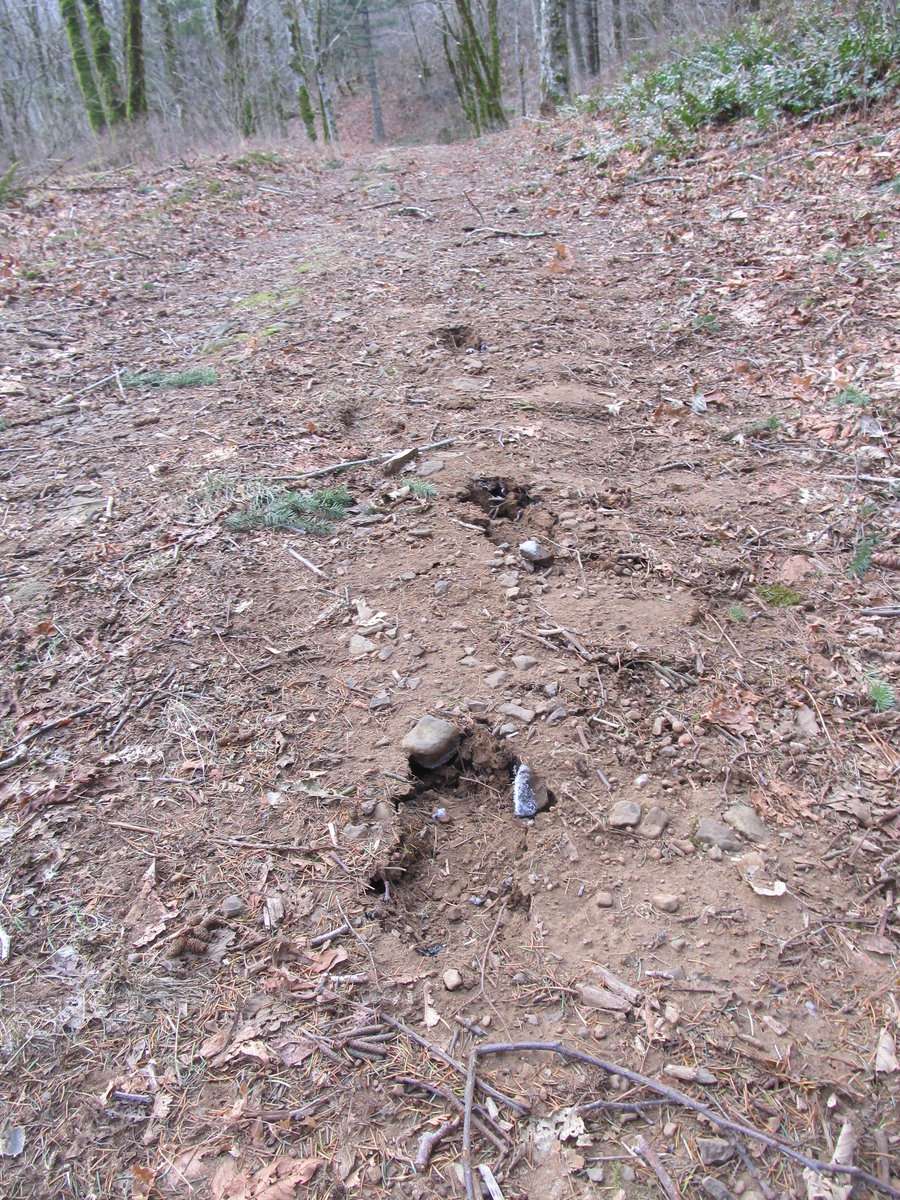
Table Mountain - or bust
4.5 miles of hiking • 1000' elevation gain •
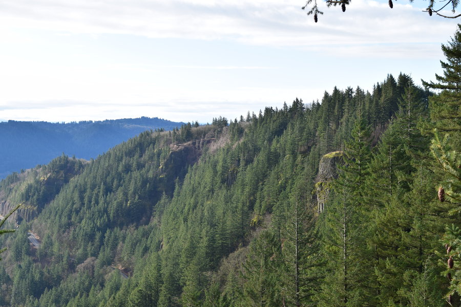
This was my first trip to this network of trails. Starting at the Aldrich Butte TH, my goal was Table Mountain. I missed the trail turn off past Carpenter Lake and ended up exploring some trails in the Cedar Creek drainage. Not a total loss however. I found the connector to Cedar Mountain-Hamilton Creek Overlook loop which I intend to explore in the future.
December 27, 2014

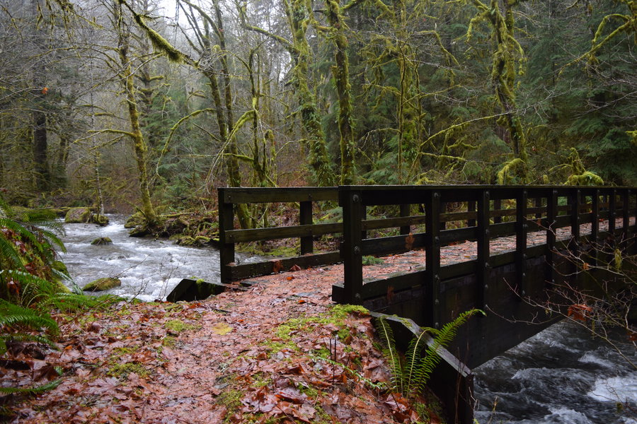
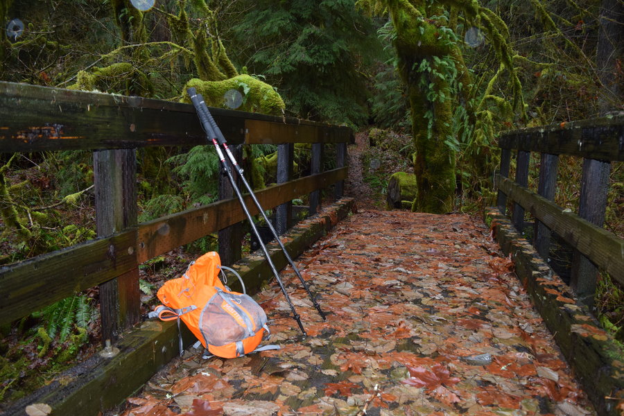
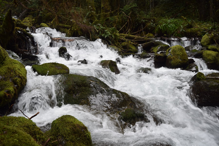
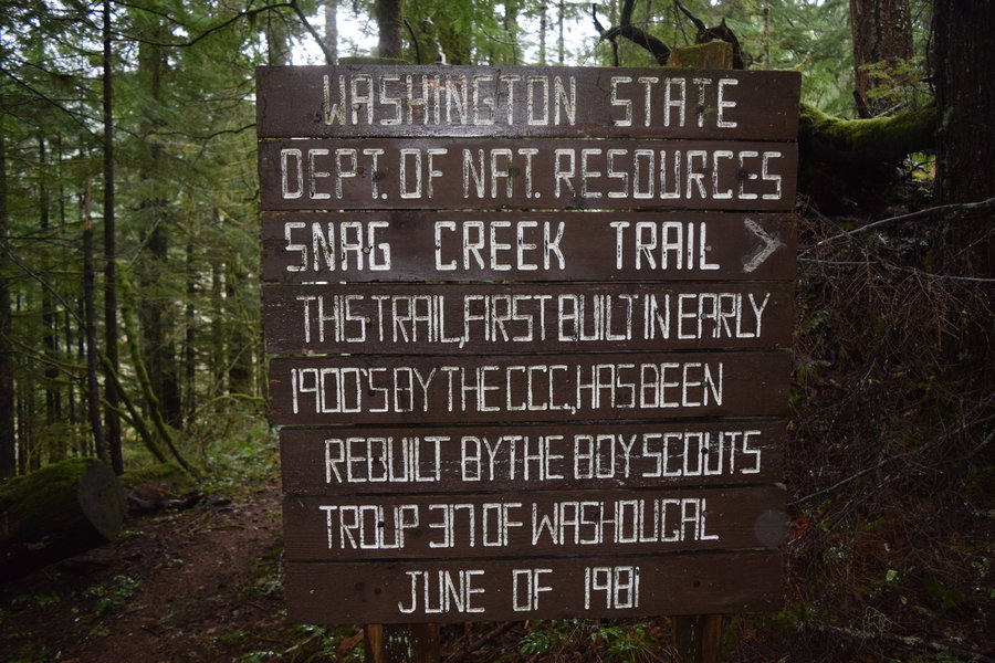
PCT - Red Bluff Rd to 3CR (sort of)
6 miles of hiking • 1250' elevation gain •
Initial plan was to hike to 3 Corner Rock then make a loop of sorts using some of the old logging roads. Instead I headed N on the PCT until I reached Snag Creek which was too flooded to cross. Turning around, I headed S on the PCT past the starting point until I reached FS 2090. It was raining steadily and too foggy for any views so I made the decision to return. All in all a pretty unremarkable section of trail but enjoyable regardless.
December 23, 2014

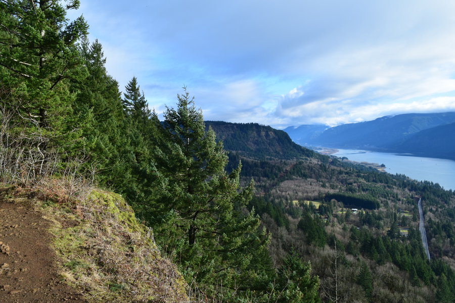
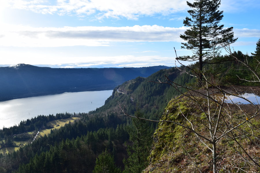
Cape Horn Summit
3 miles of hiking • 750' elevation gain •
Threw 50# of sand in the pack and went for a short but punishing hike up to the cliffs. Beautiful day for a workout.
December 19, 2014

Grouse Vista - Silver Star
6 miles of hiking • 2000' elevation gain •
Took a quick up and back to Silver Star. I decided to take the old jeep trail on the east side of Pyramid rock on the way up to make a partial loop. It turned out to be a bad day to bet against the weather report as the top was not only socked in by fog but there was freezing rain and sleet coming down as well.
December 18, 2014

Hardy Ridge West-East Loop
7.5 miles of hiking • 1750' elevation gain •
First trip to Hardy Ridge, first post on Went Hiking. Cold and windy though surprisingly, the wind was worse coming down the east side than it was at the summit. I've done Hamilton on snowshoes before but otherwise have no experience on these trails. The frost heave in the road beds was as much as 4 inches deep making for some rough going at times -- similar to walking on crusted over snow. All in all, a good day and look forward to exploring this area more.
December 3, 2014