

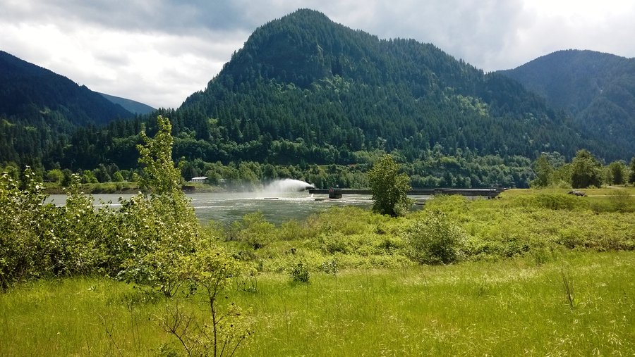
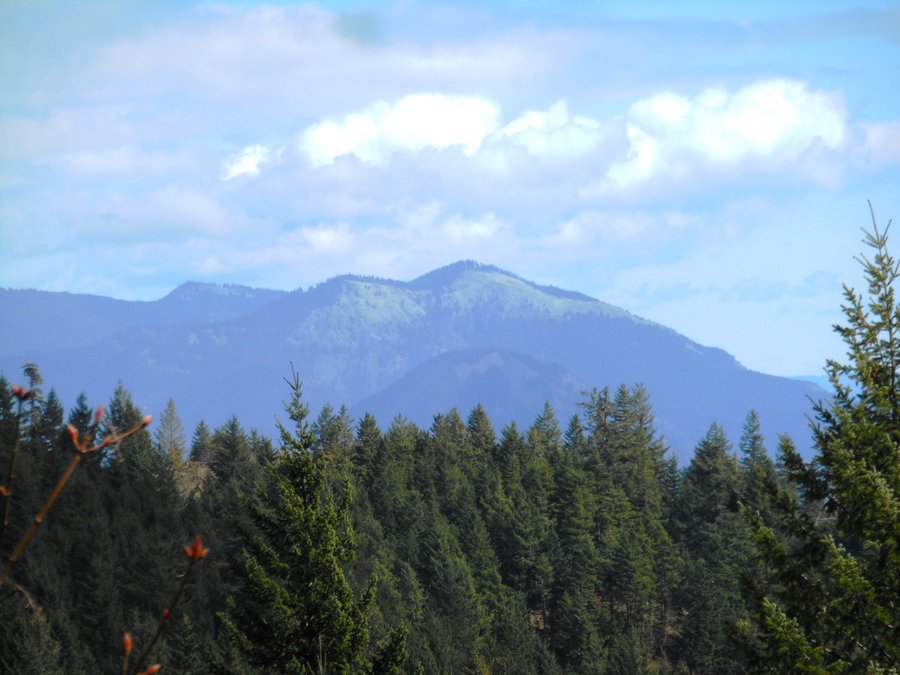
2014 Trips


December 28, 2014


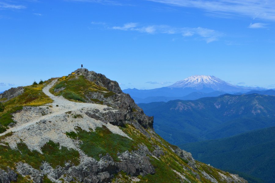
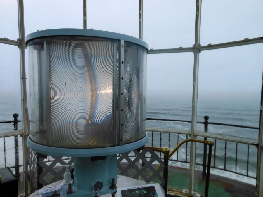
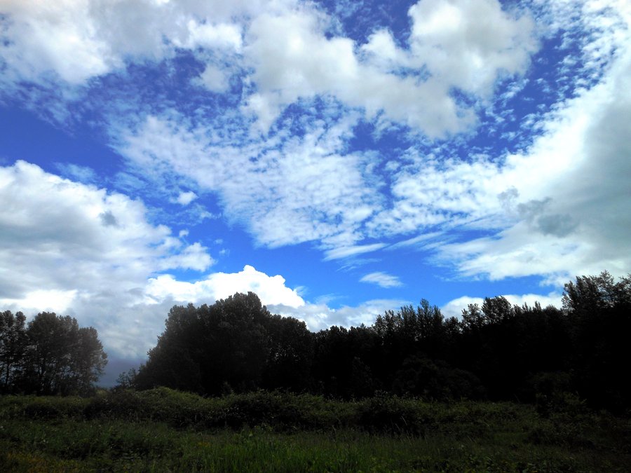
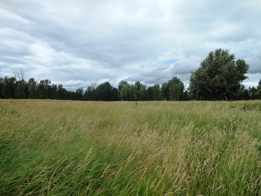
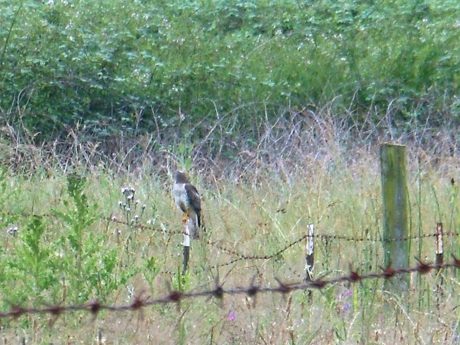
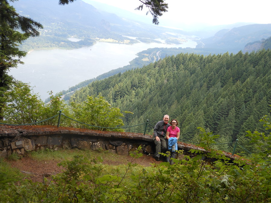
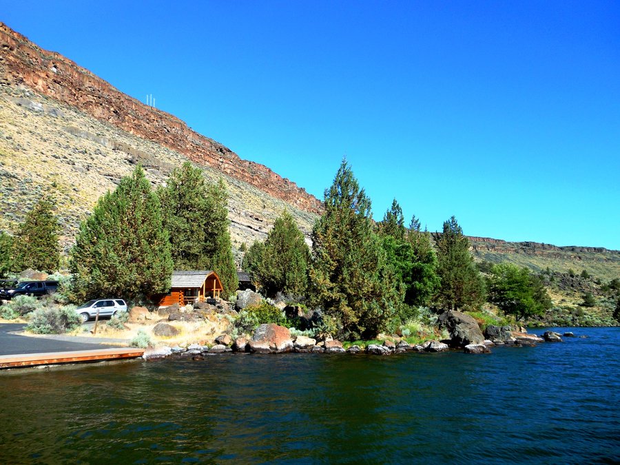
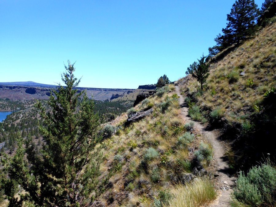
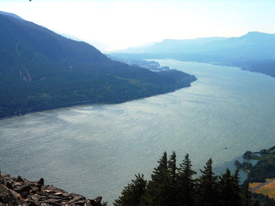
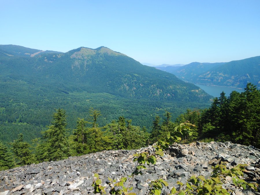
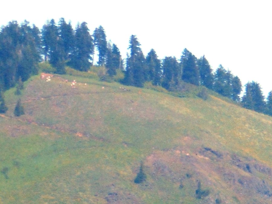
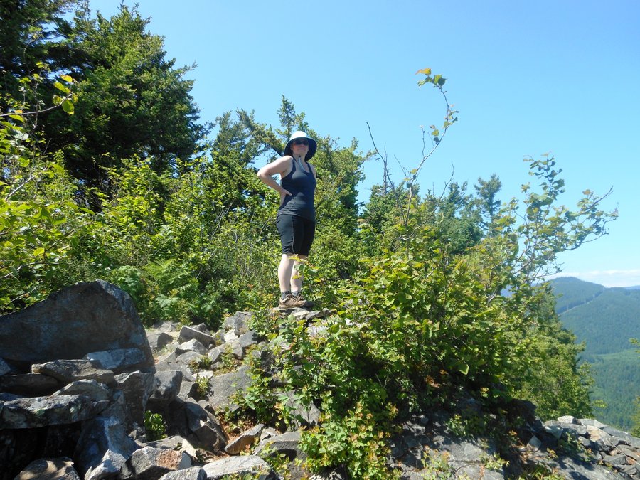
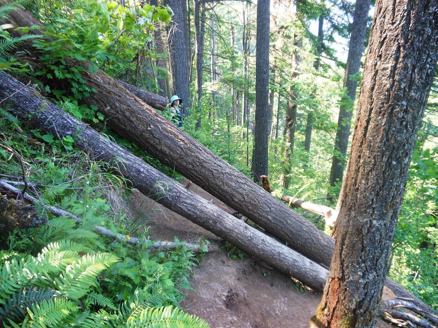
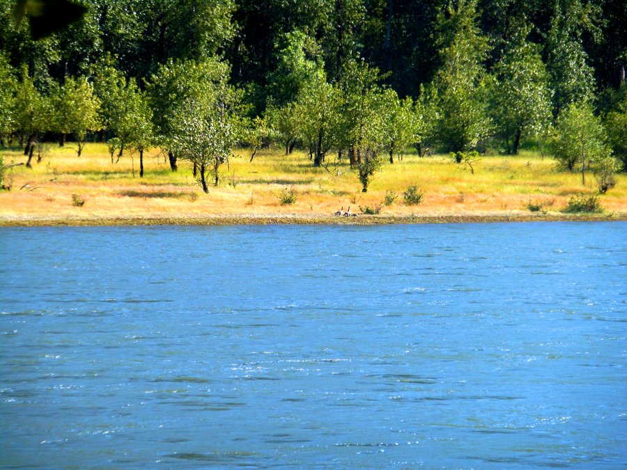
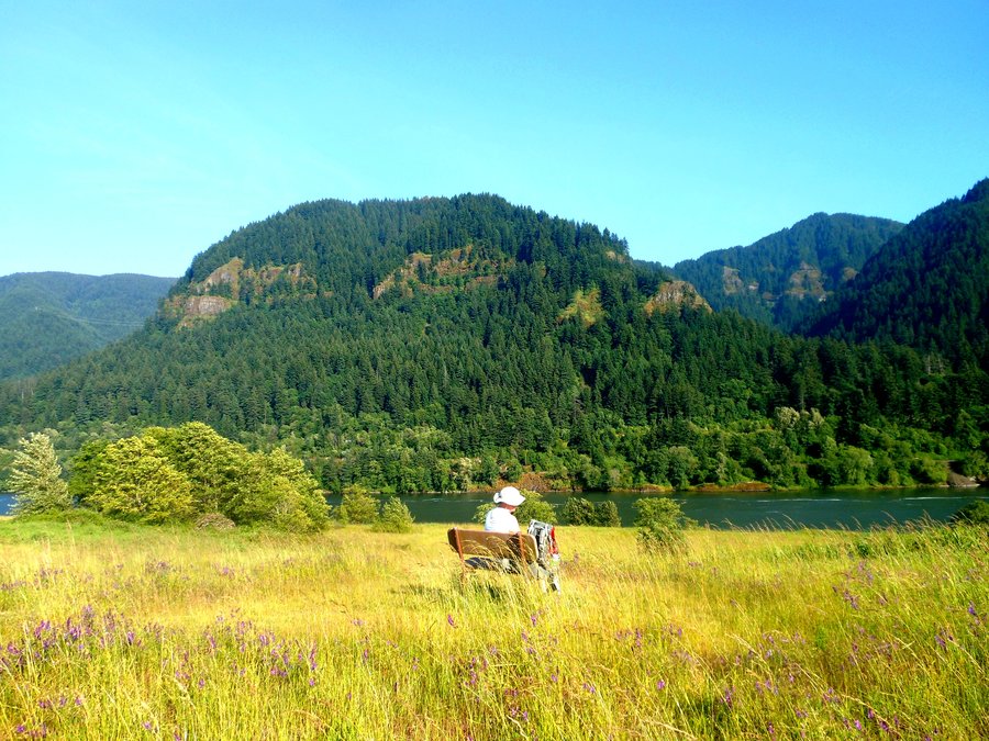
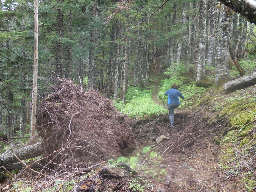
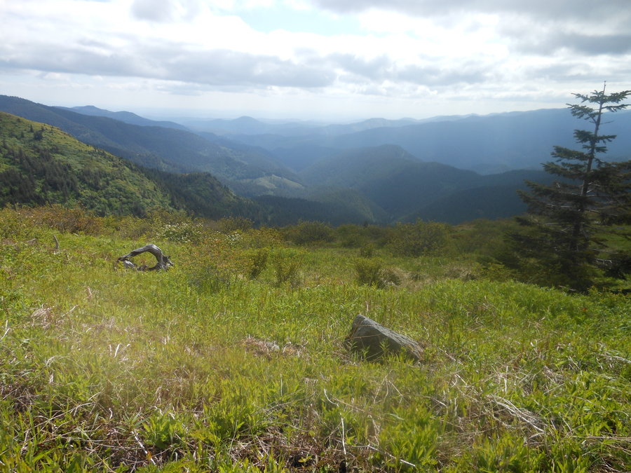
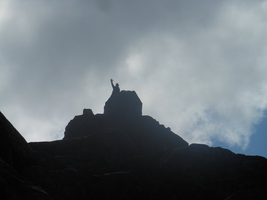
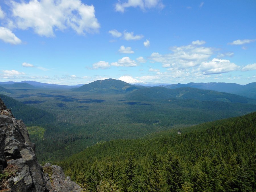
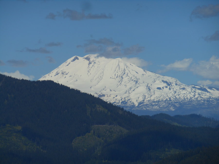
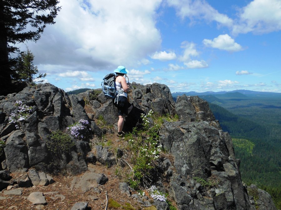
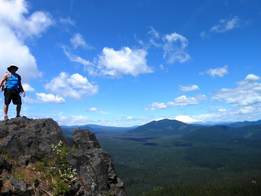
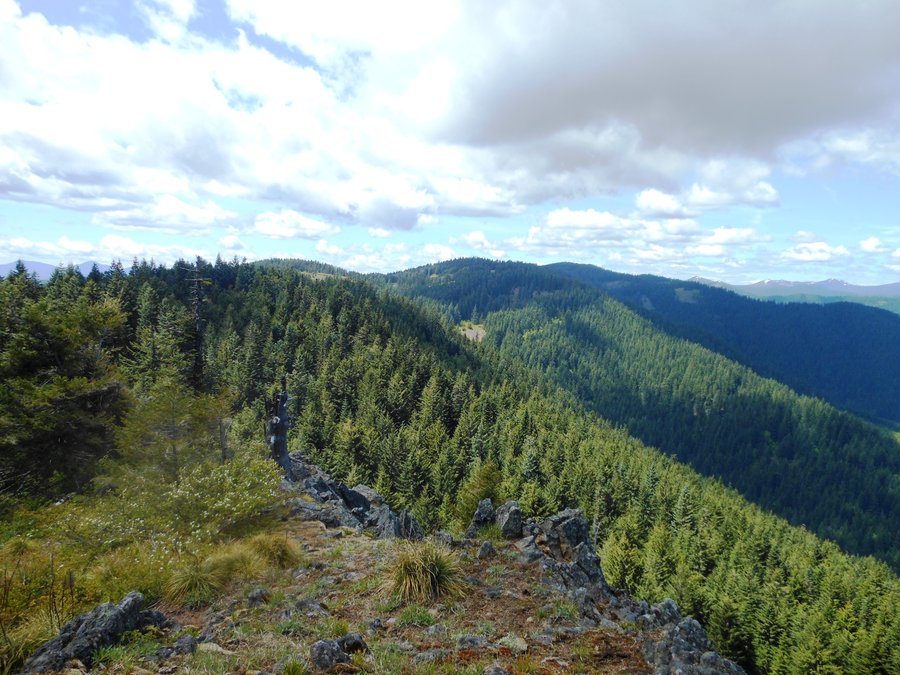
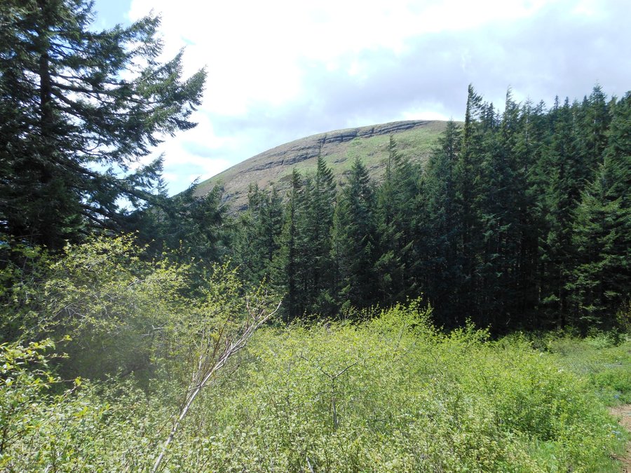
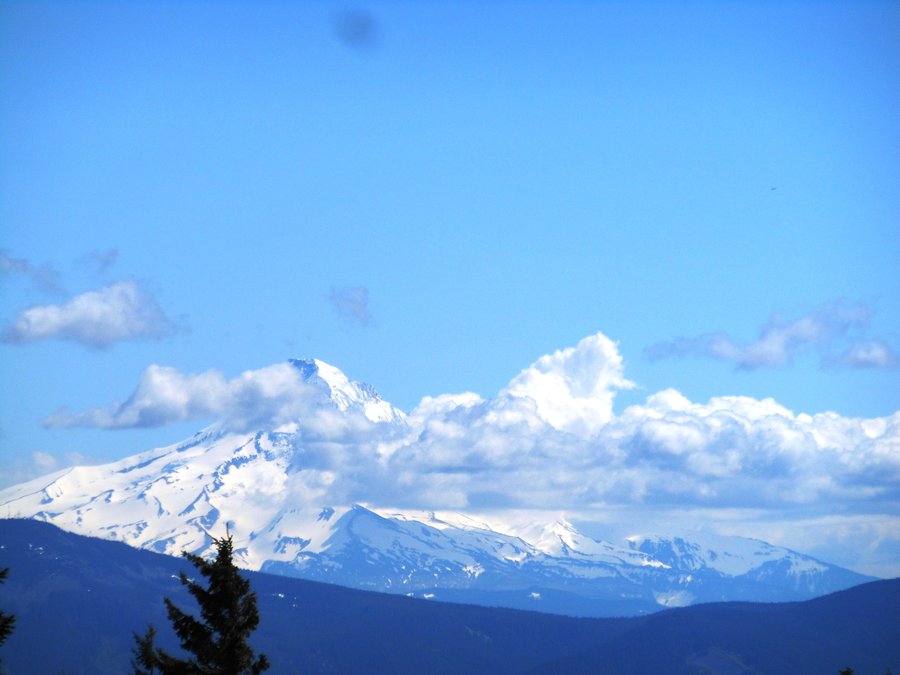
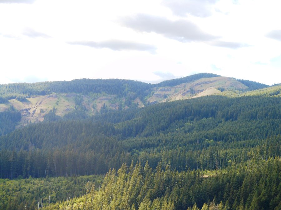
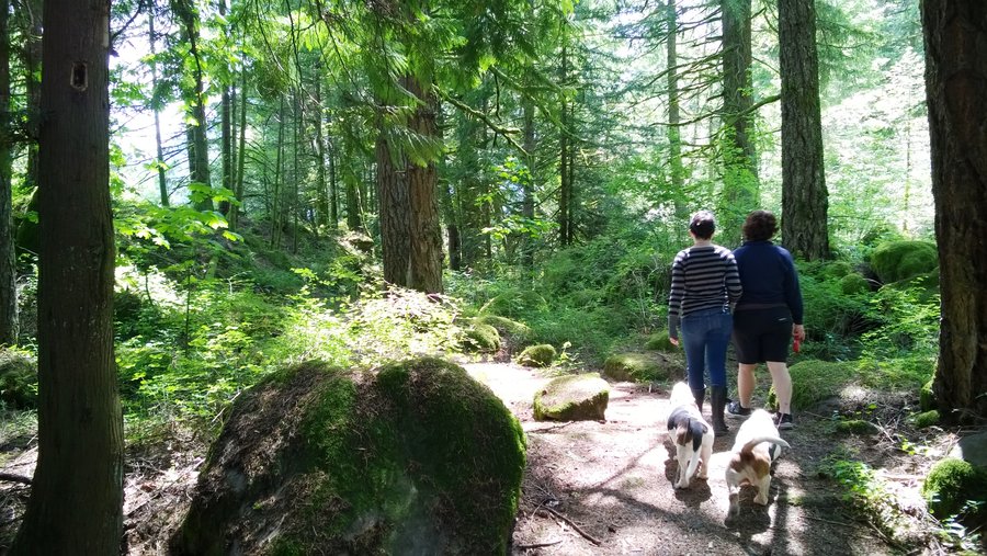
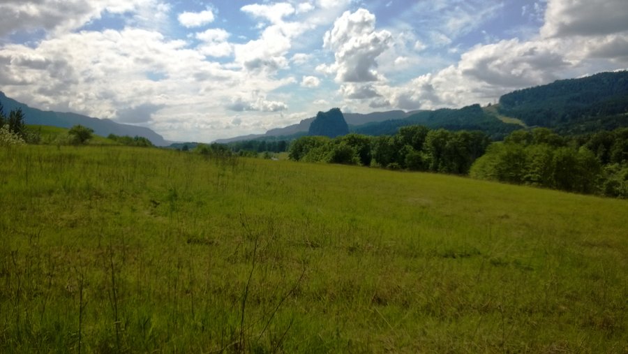
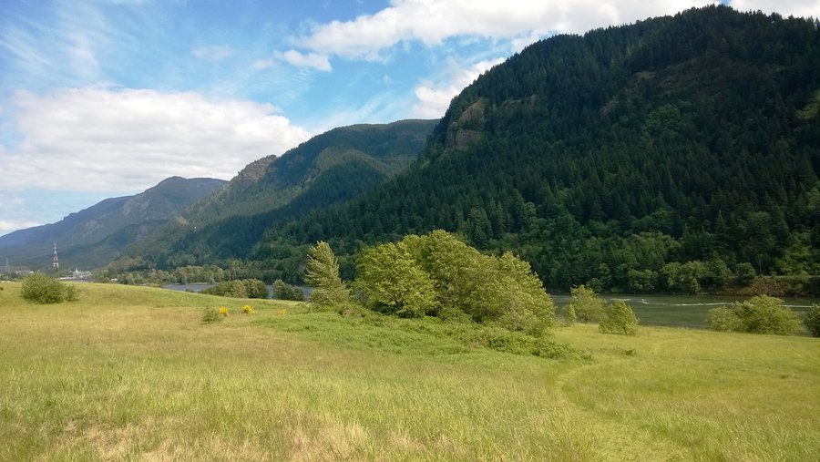
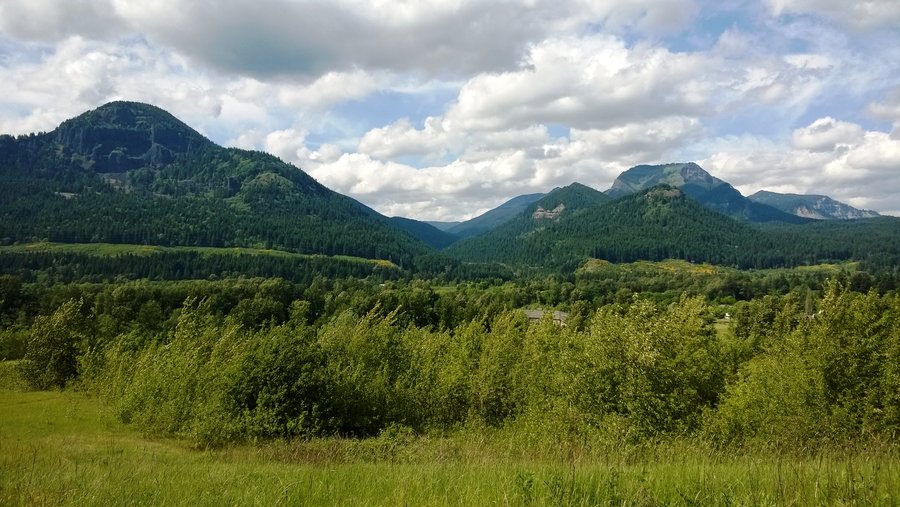
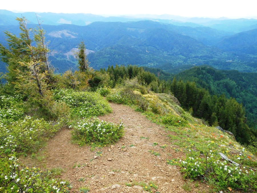
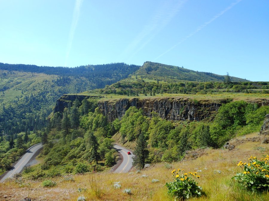
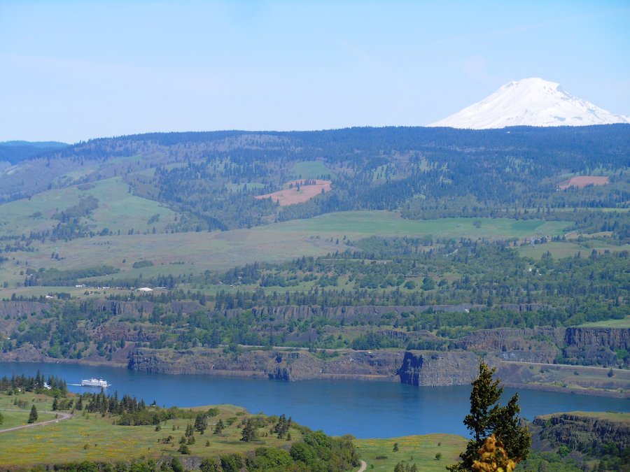
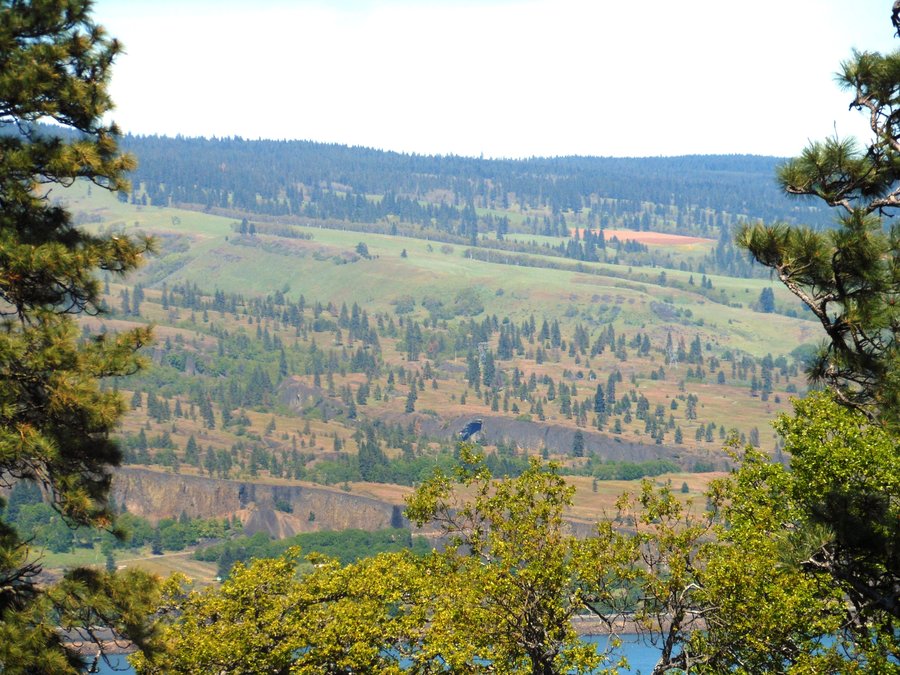
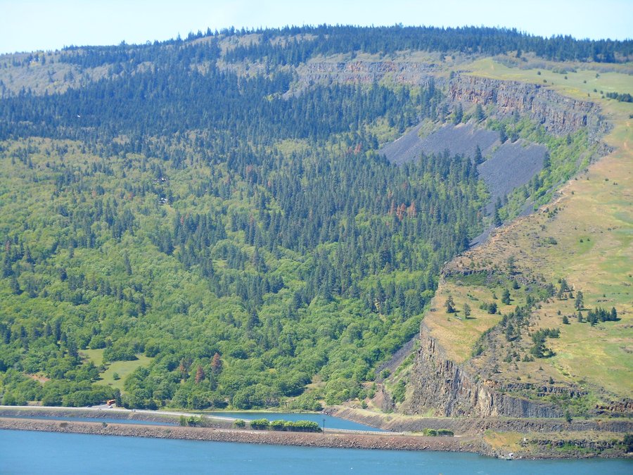
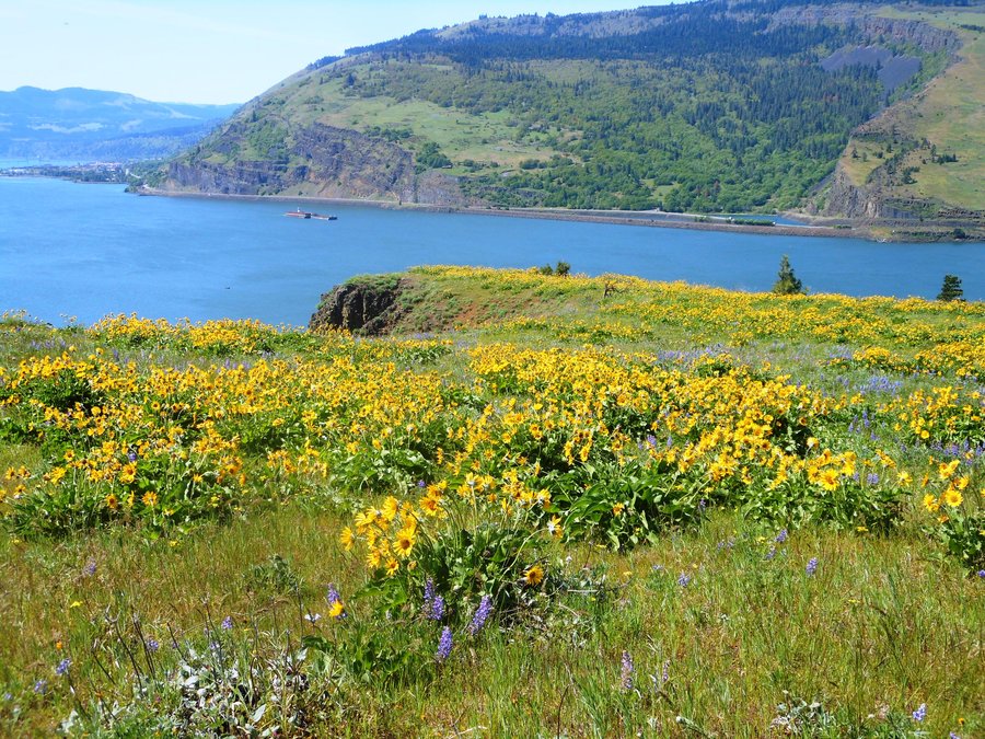
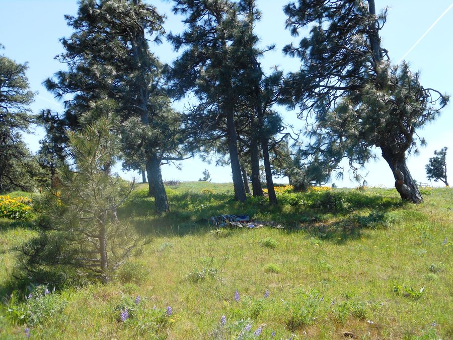
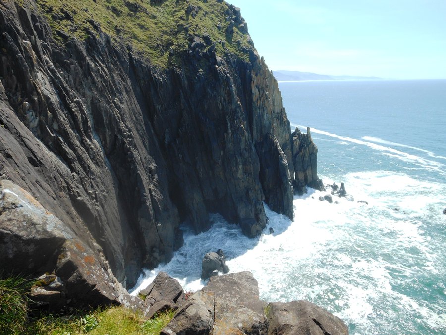
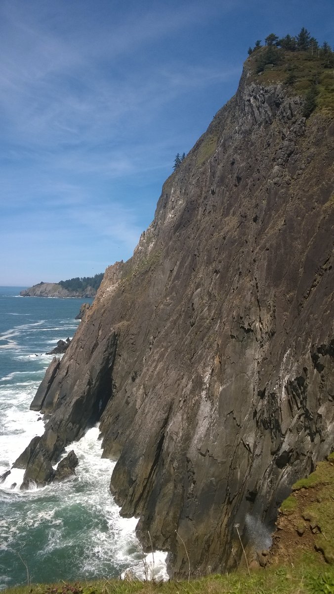
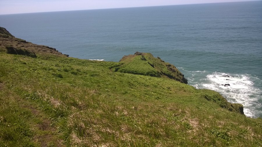
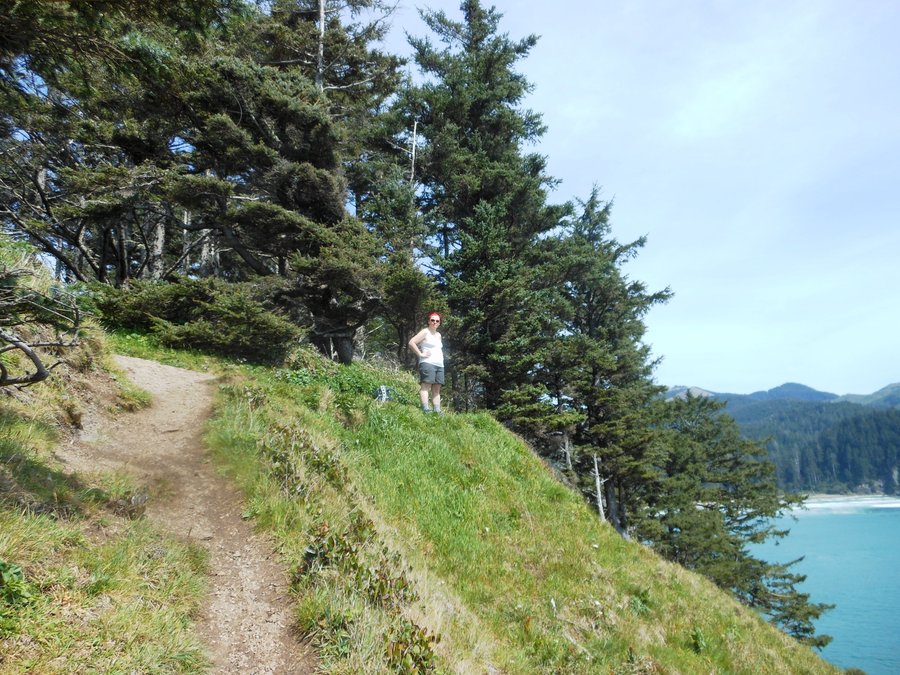
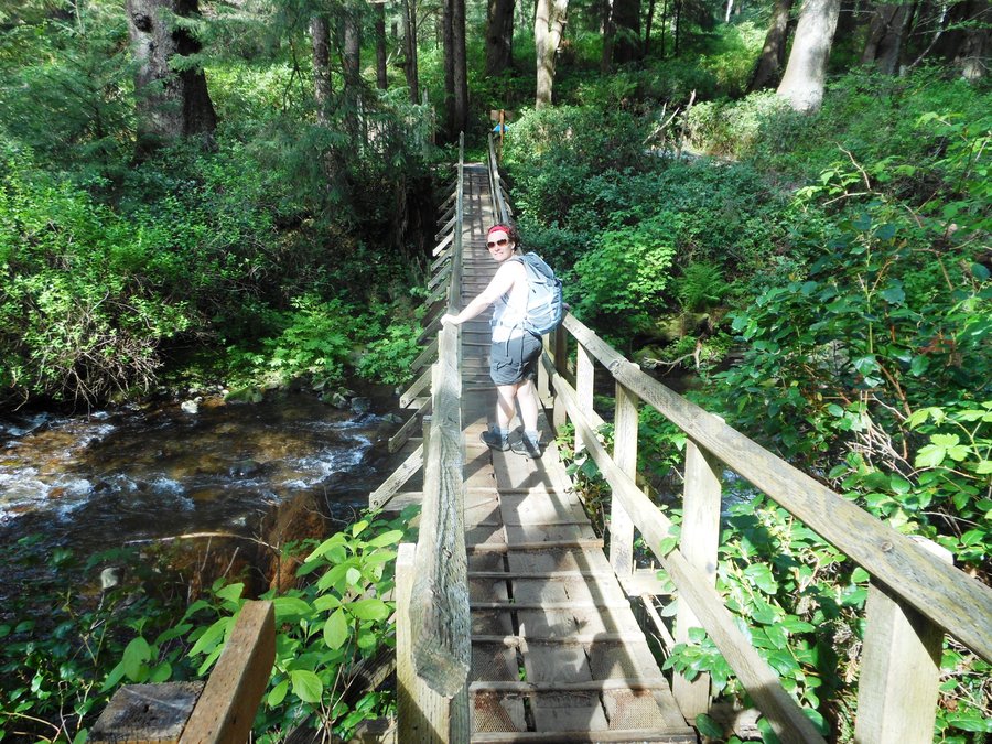
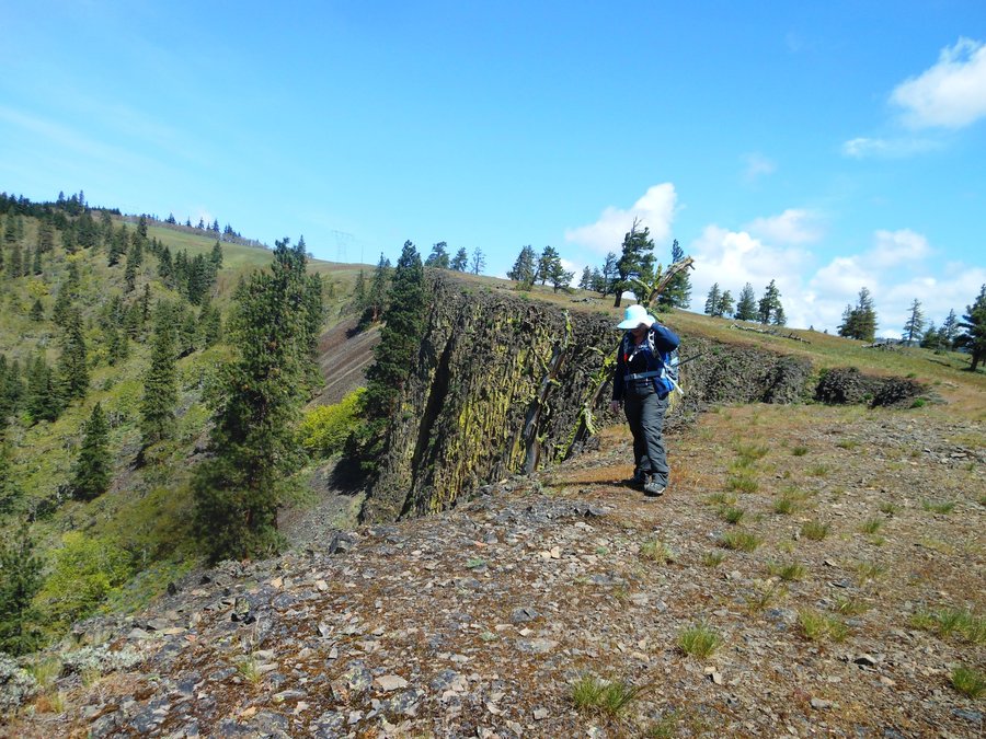
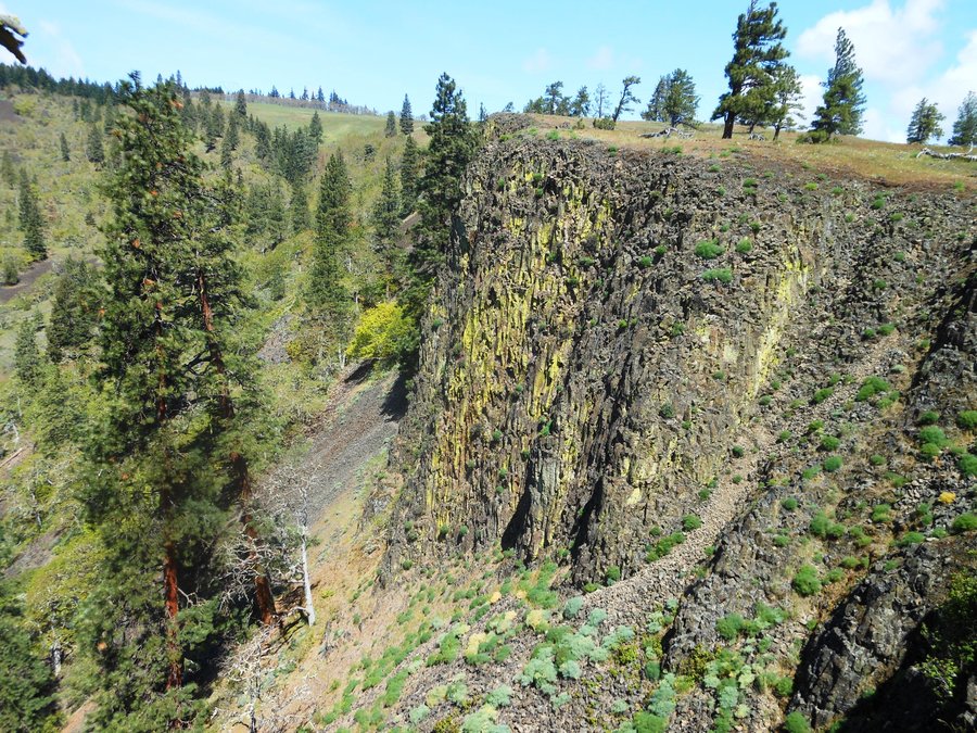
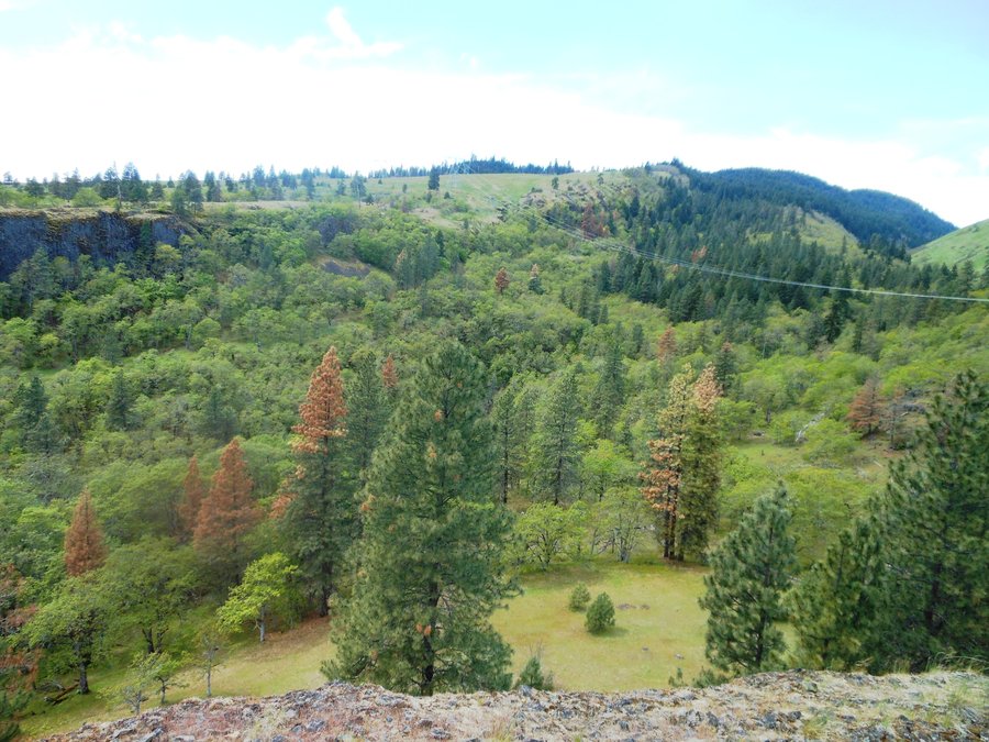
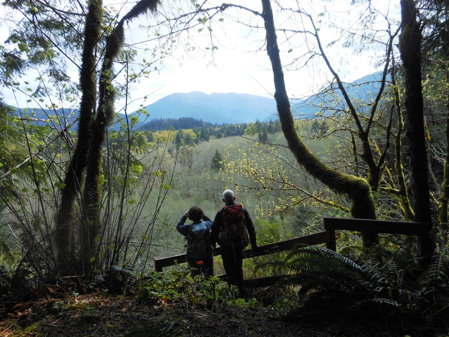
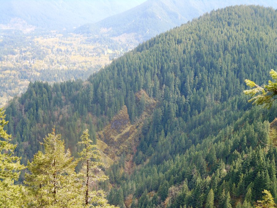
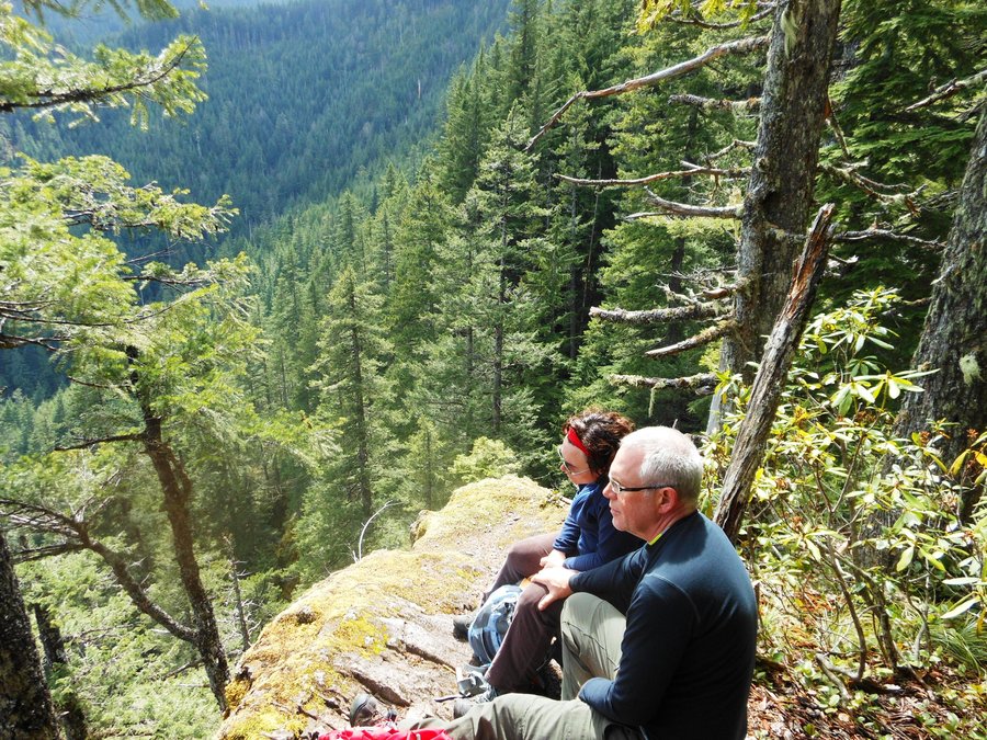
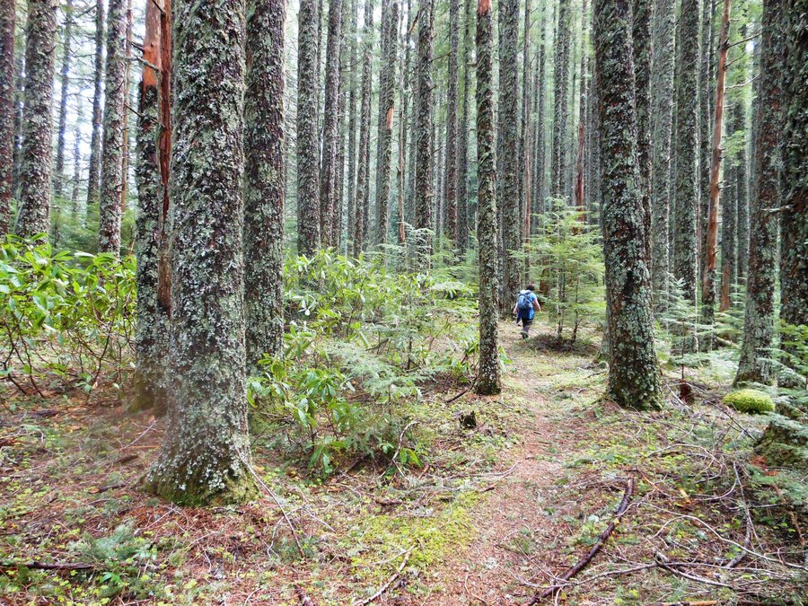
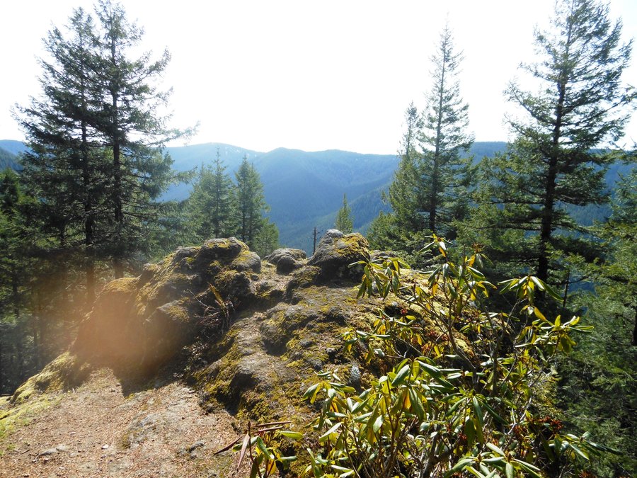
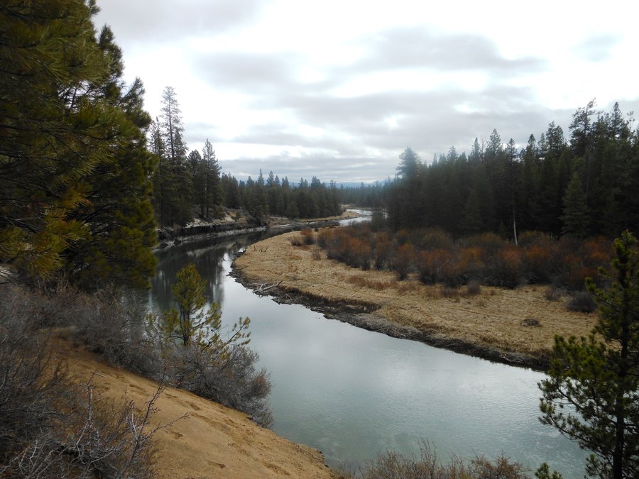
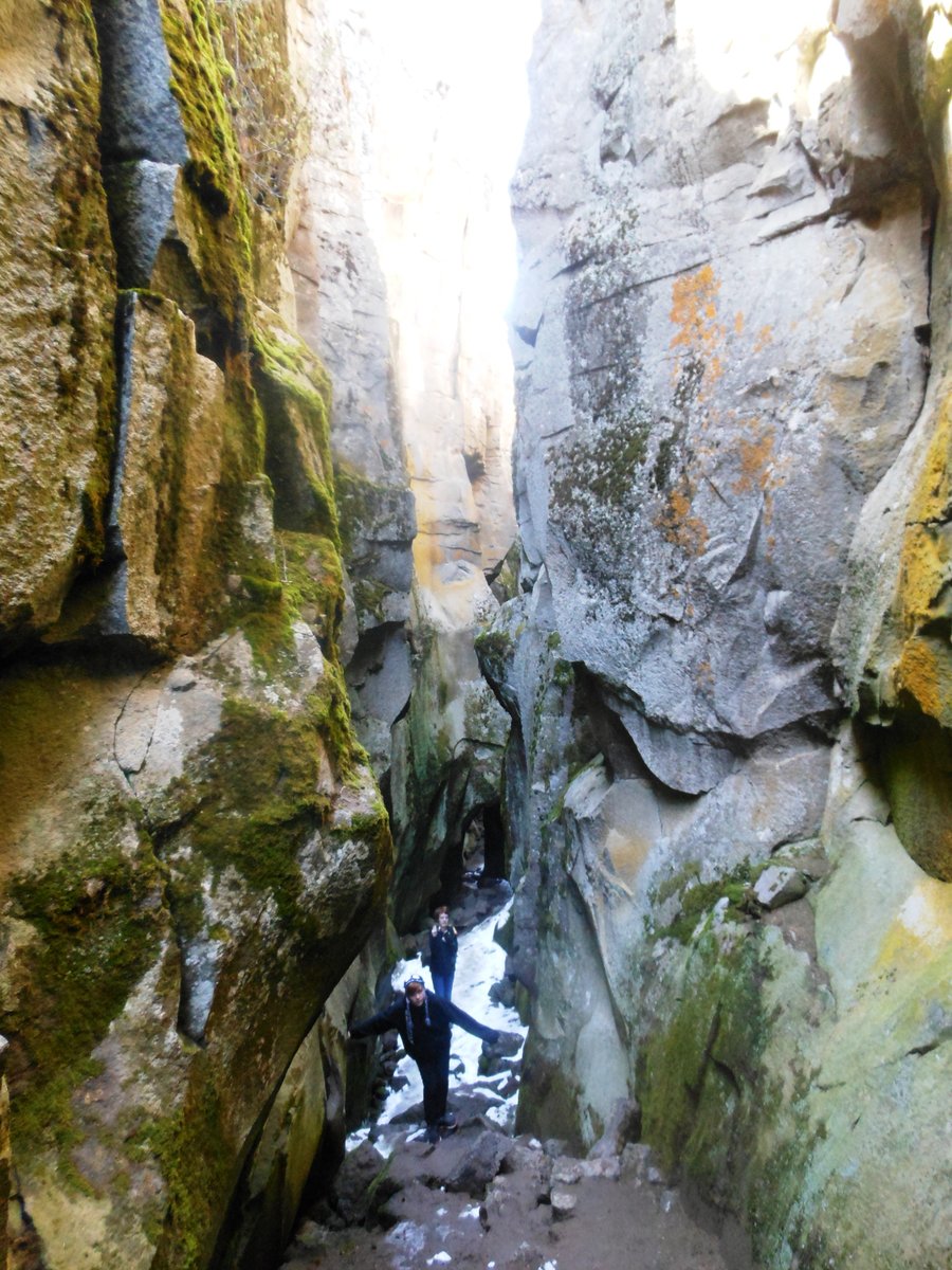
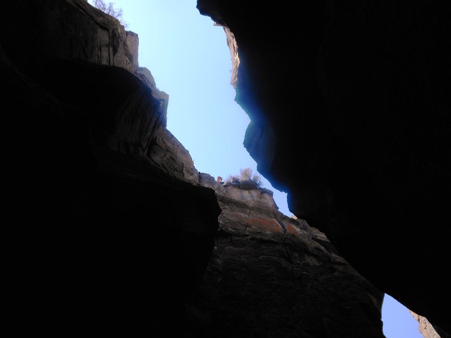
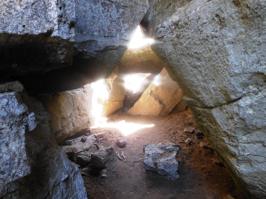
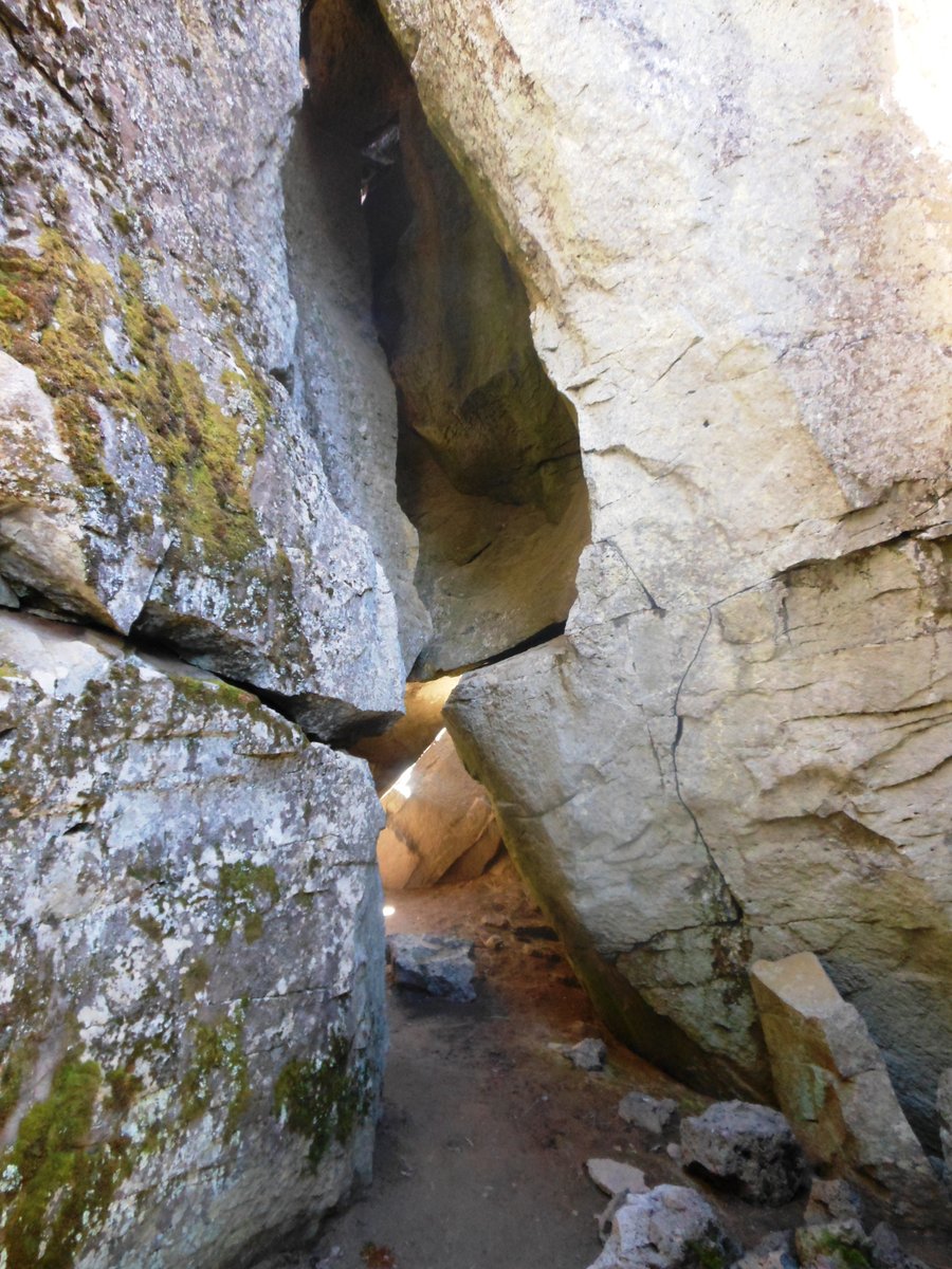
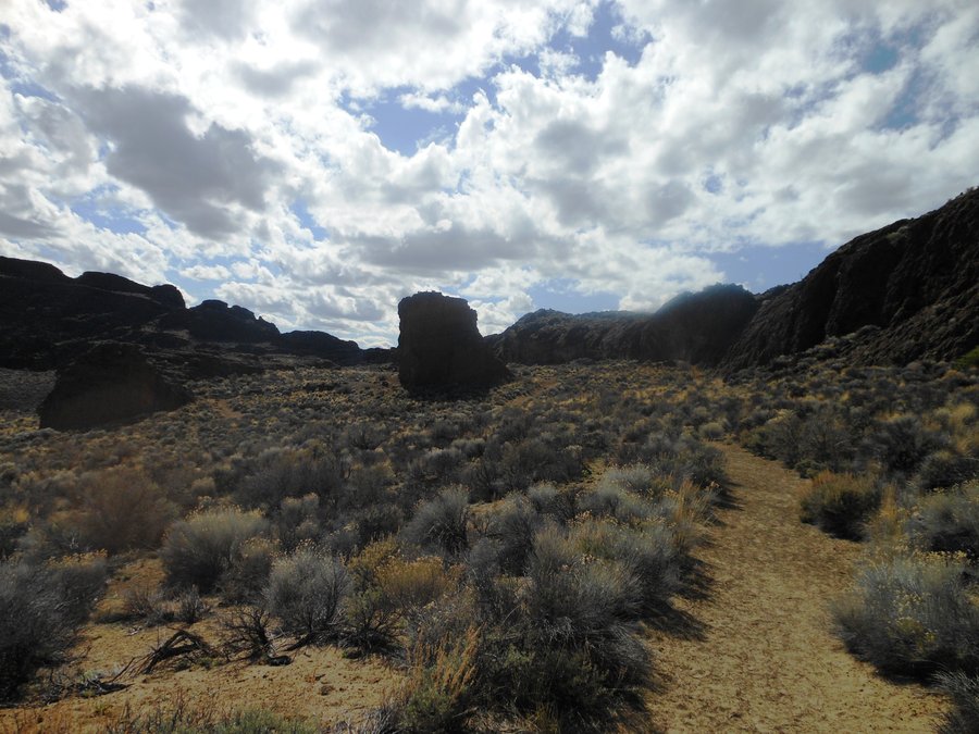
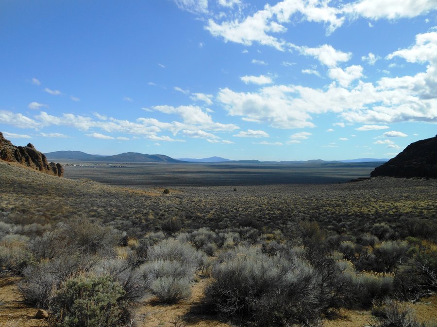
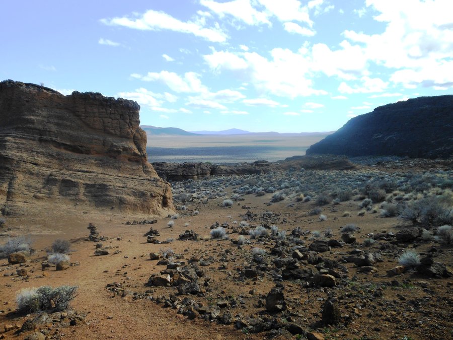
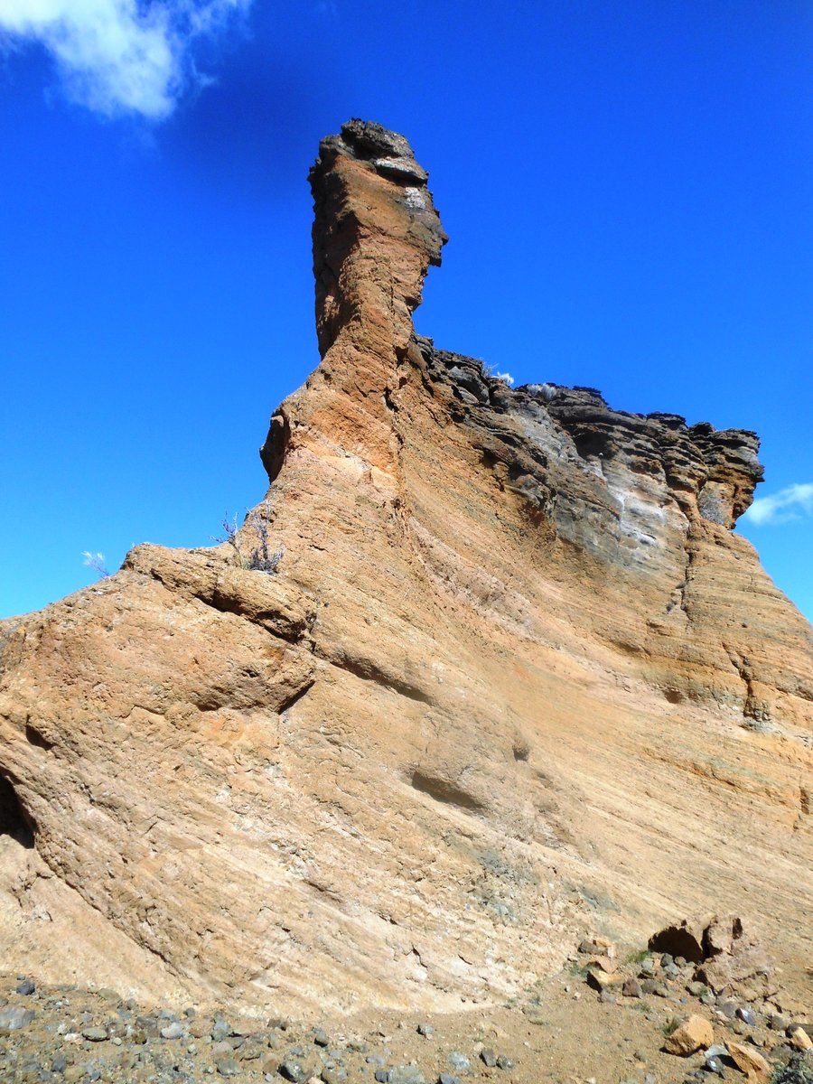
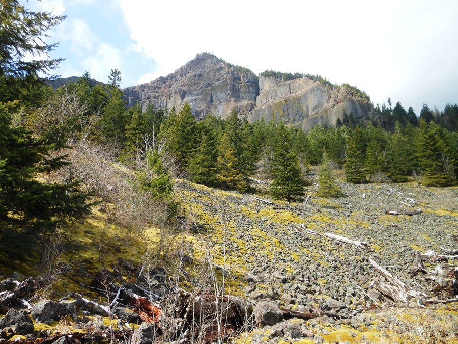
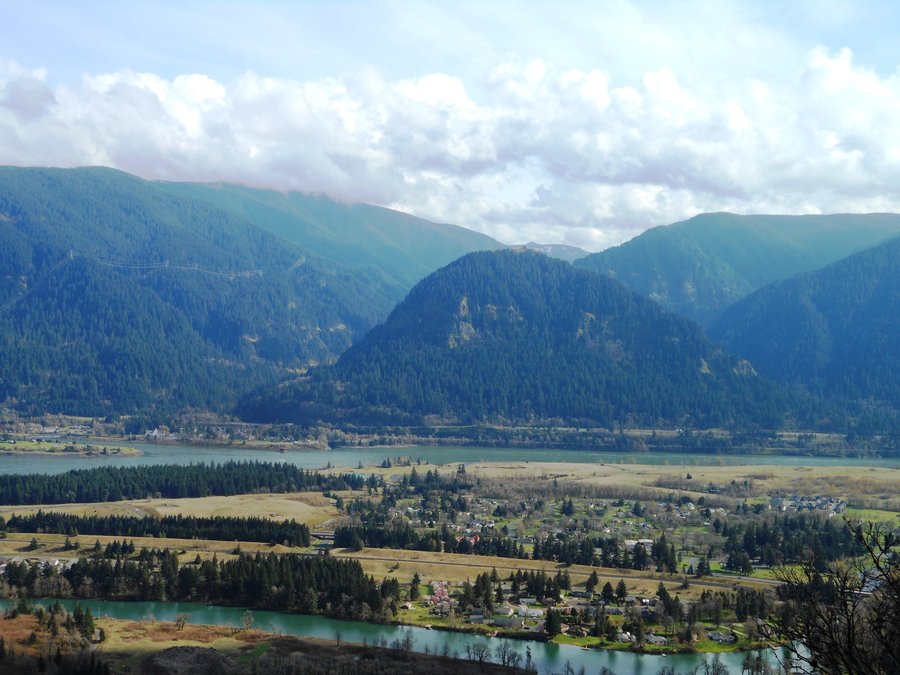
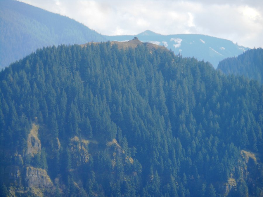
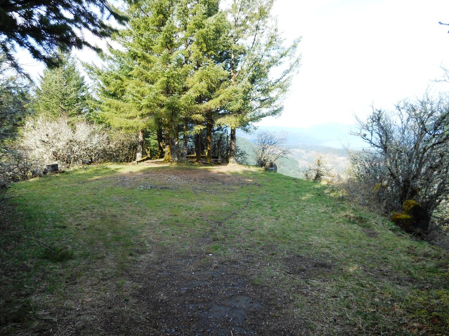
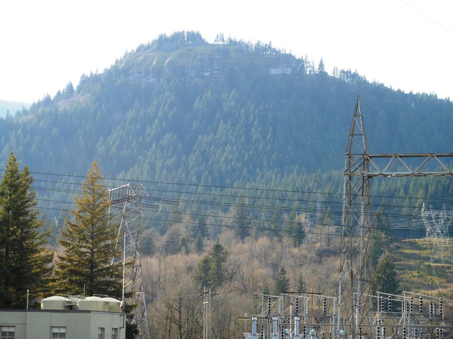
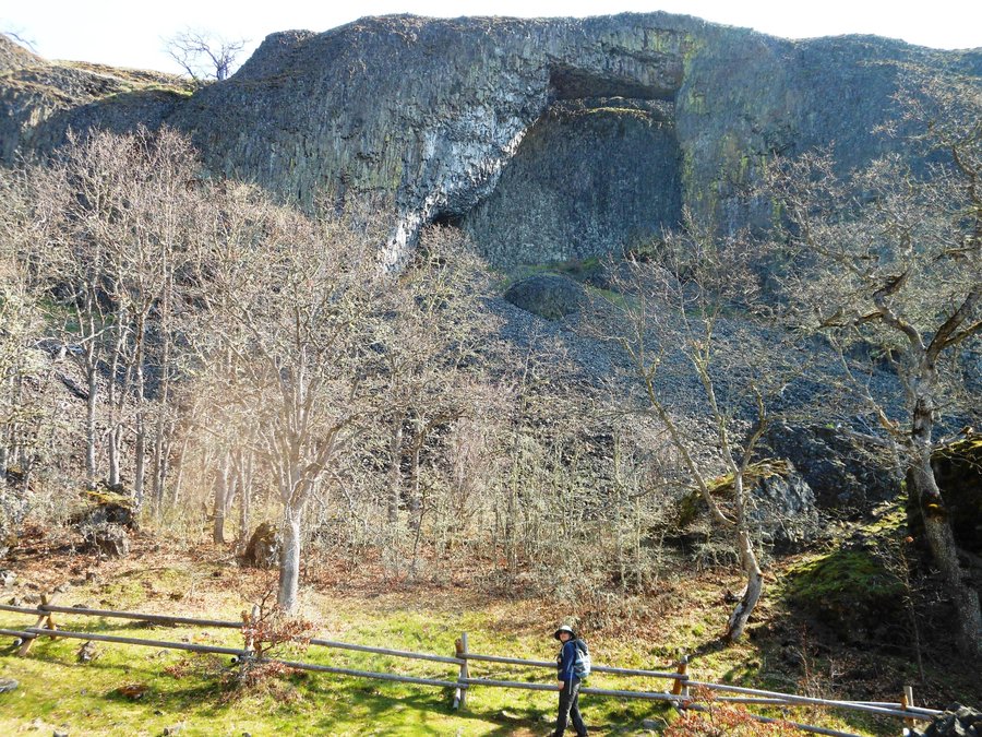
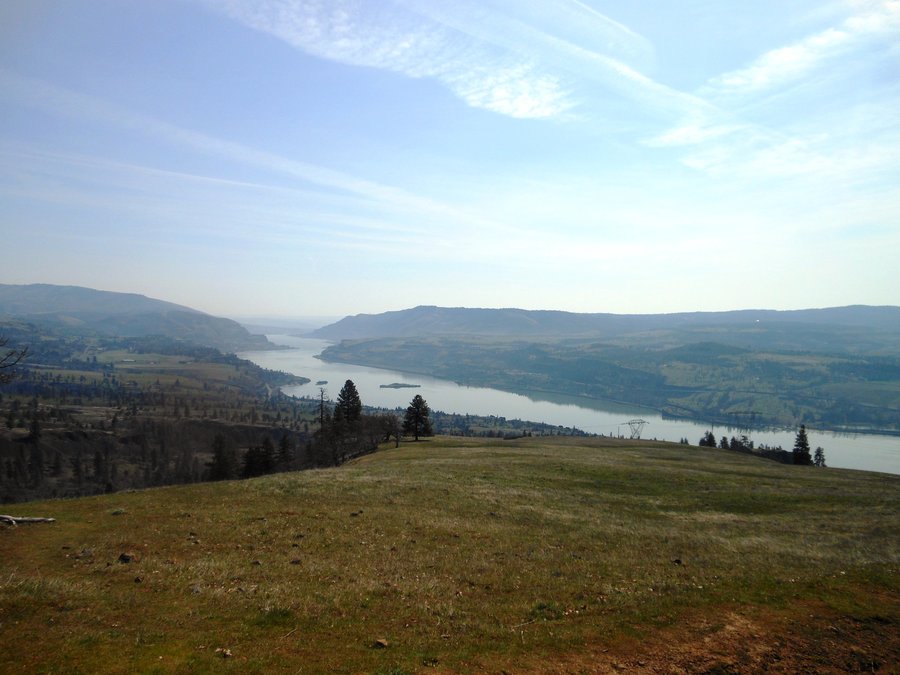
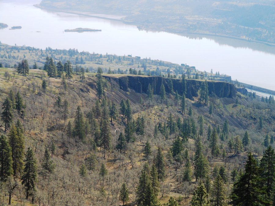
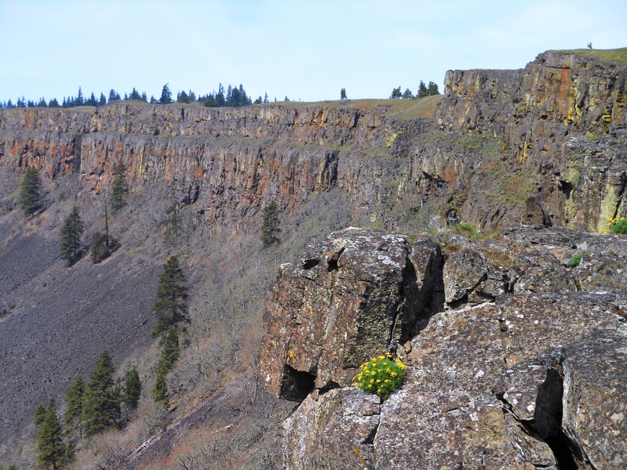
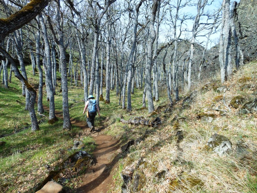
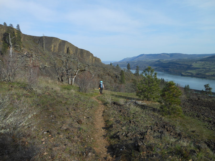
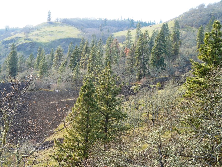
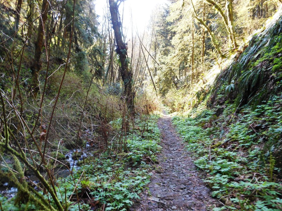
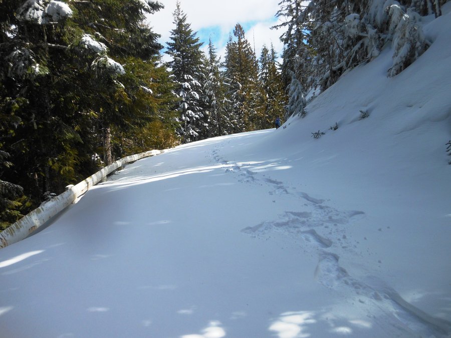
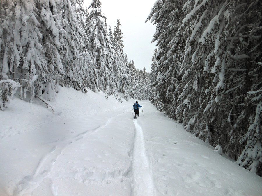
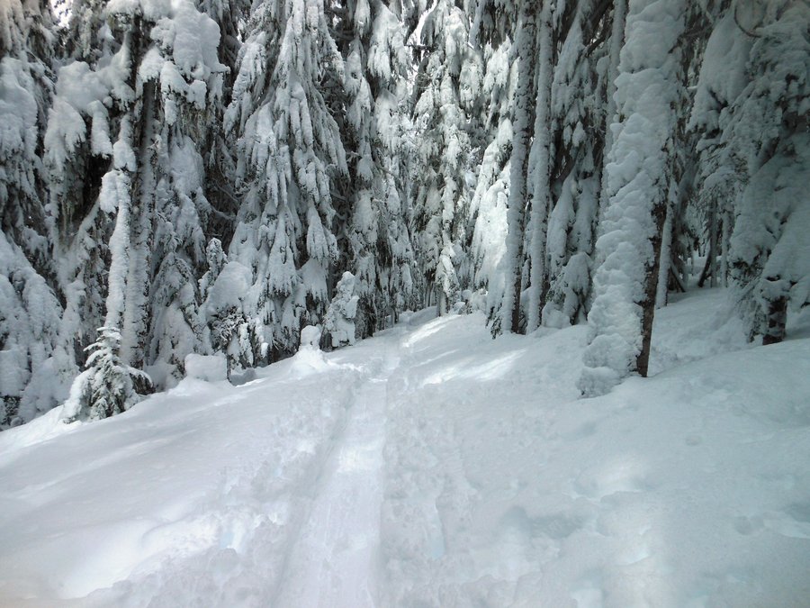
Cape Horn
7.5 miles of hiking • 1750' elevation gain •
We started in the middle this time. Not many people out today... that's why we went.
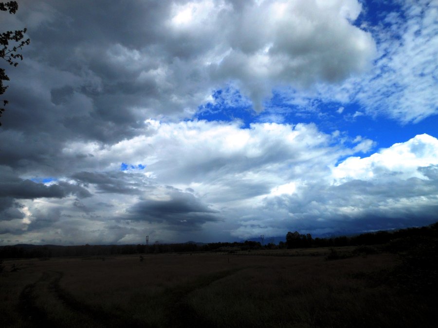
November 26, 2014


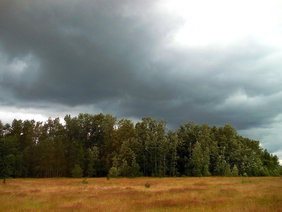
October 16, 2014

October 4, 2014

September 28, 2014

September 23, 2014

September 20, 2014
 1
1
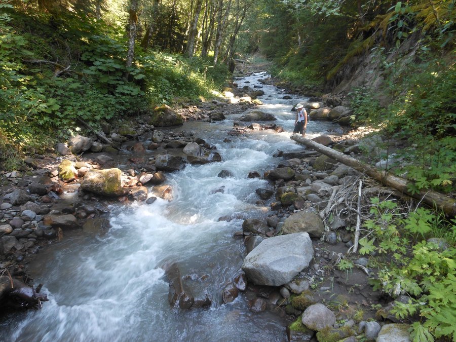
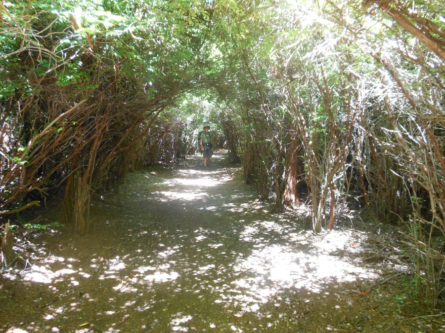
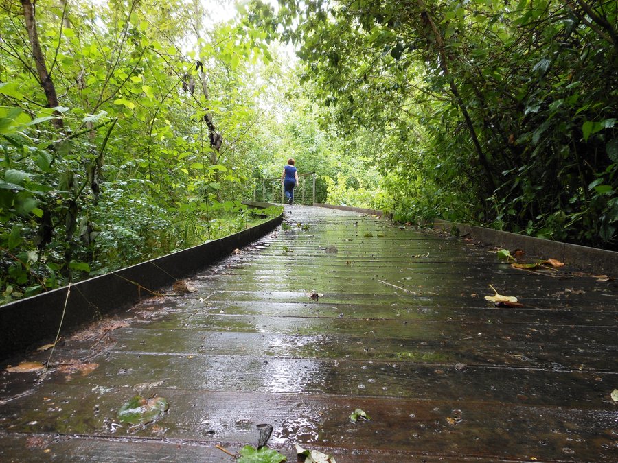
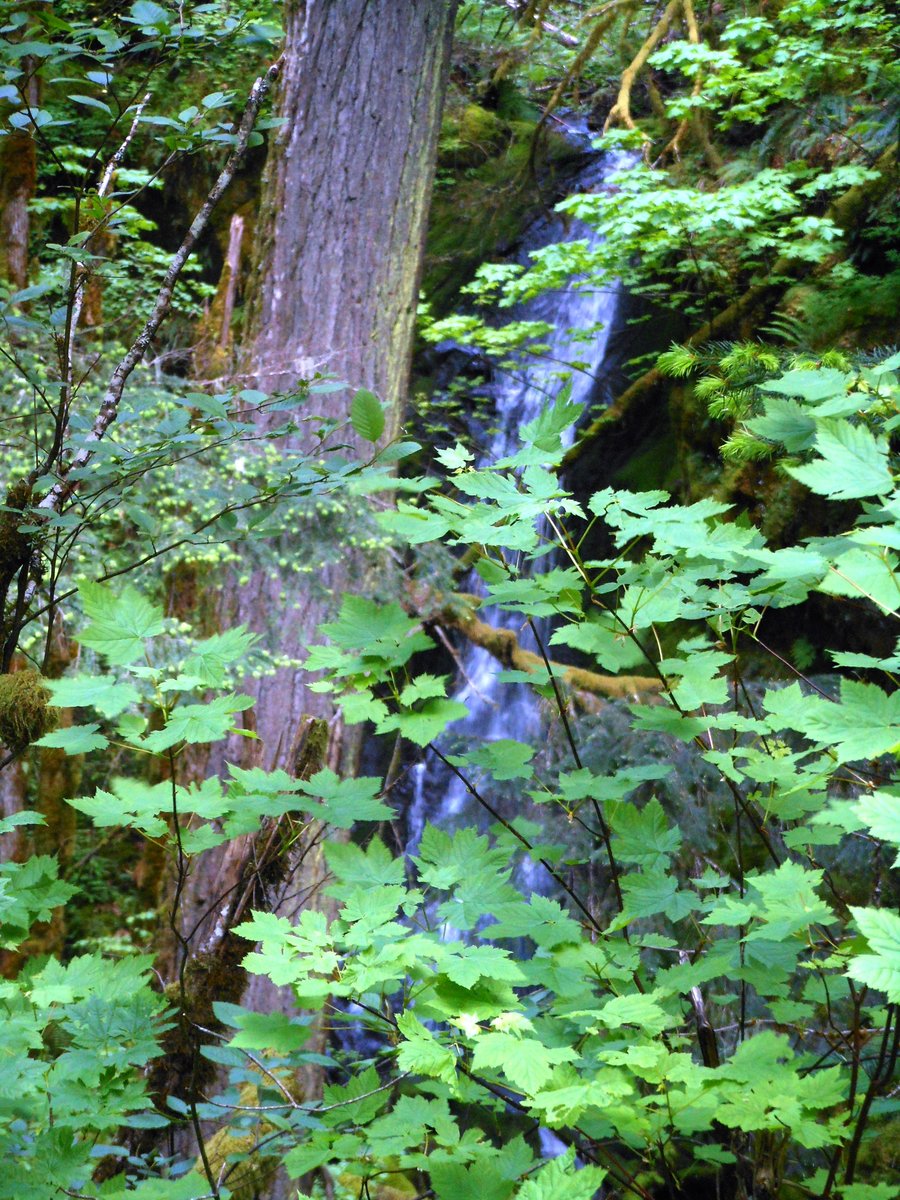
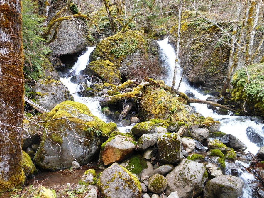
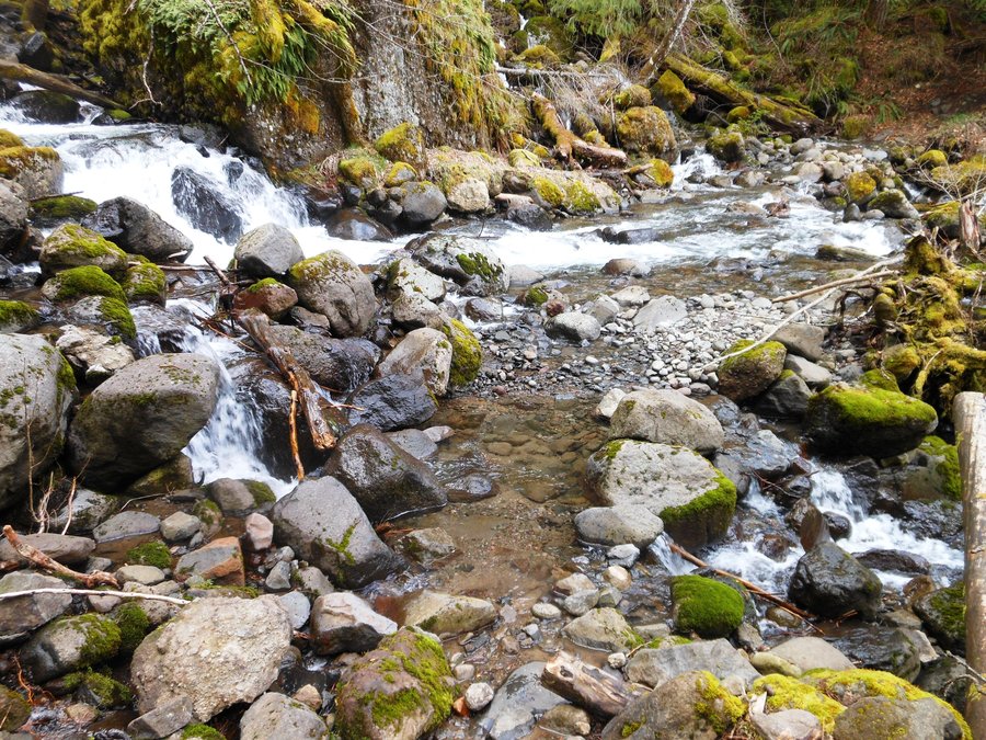
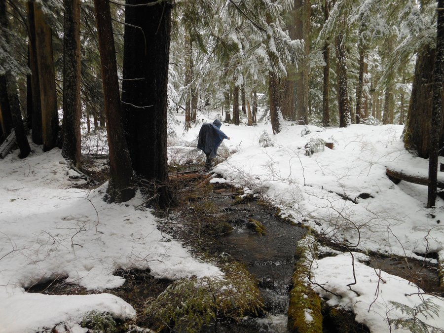
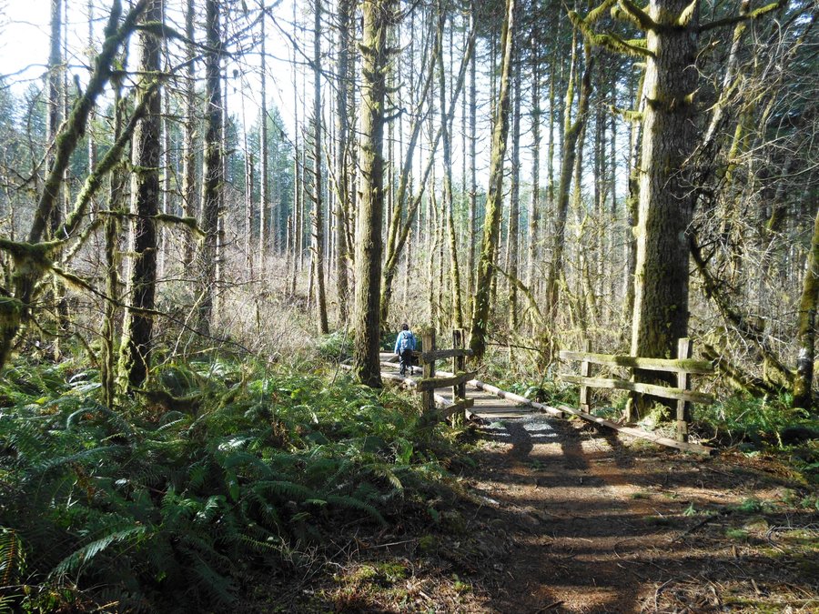
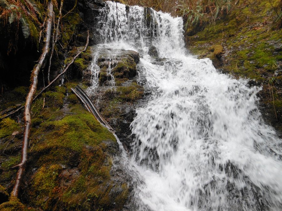
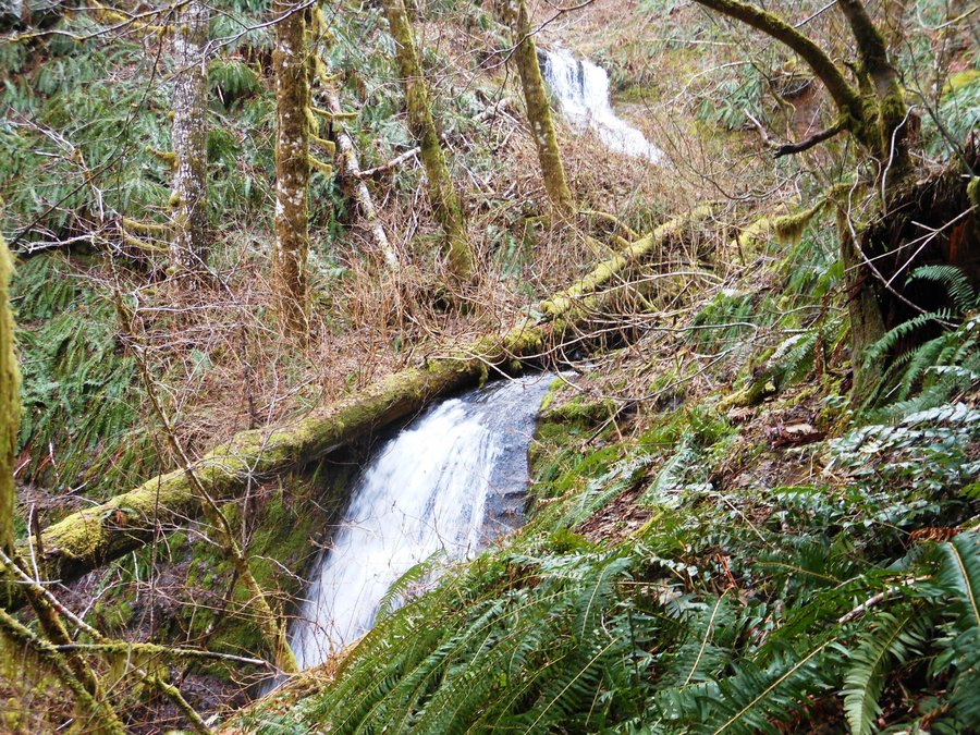
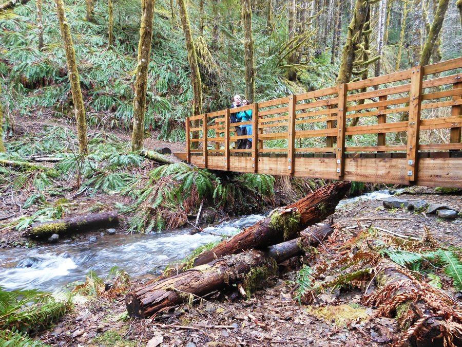
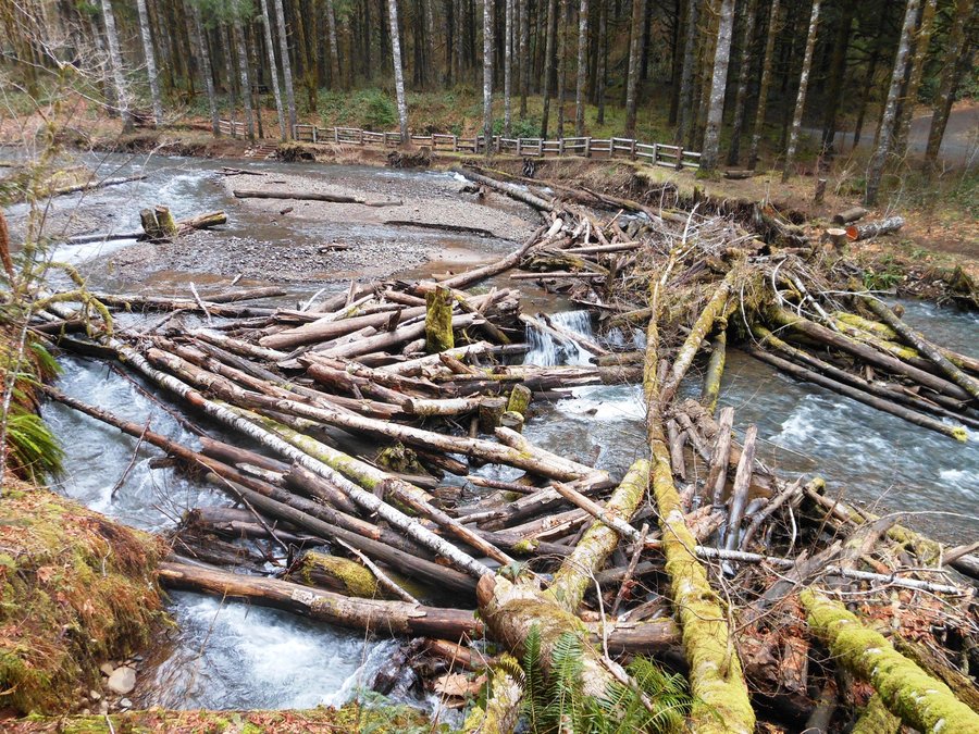
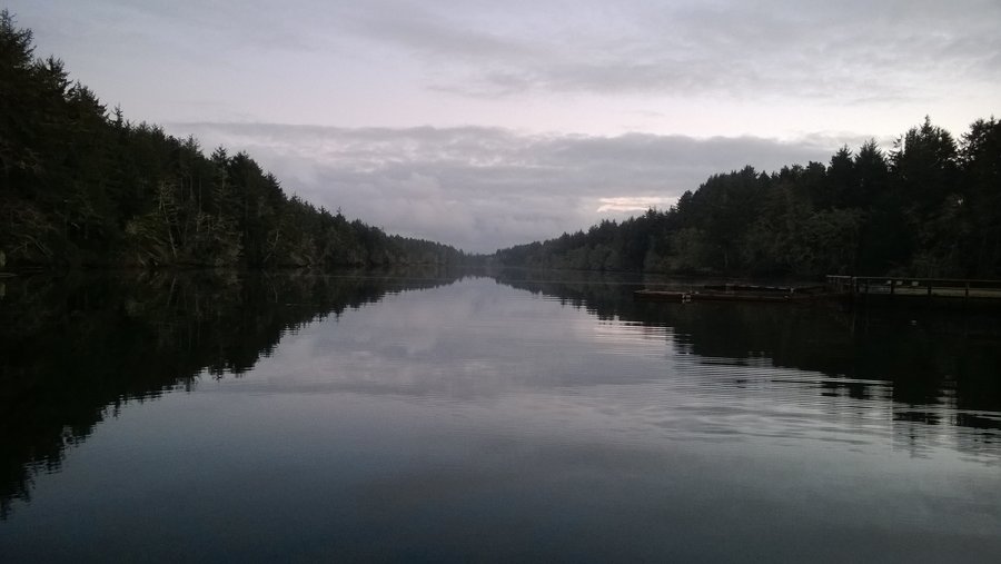
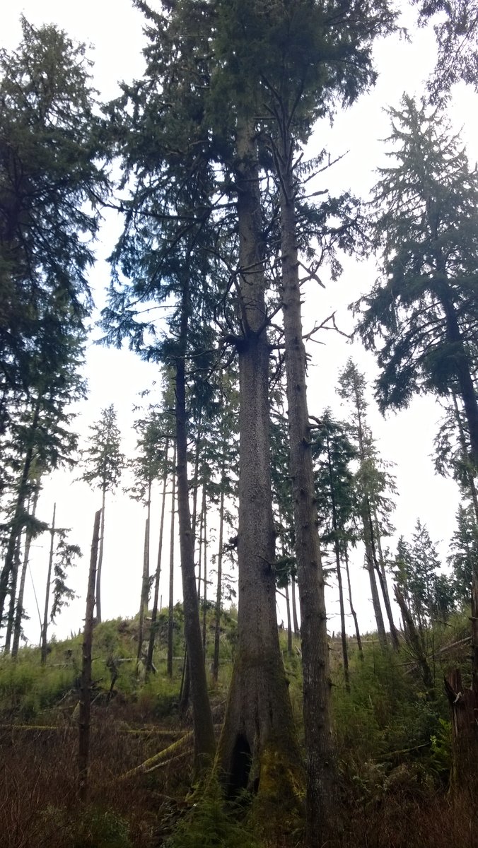
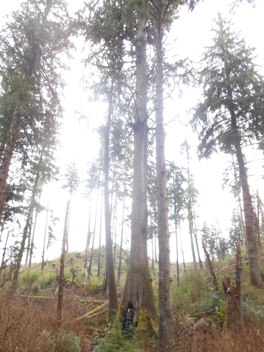
September 13, 2014


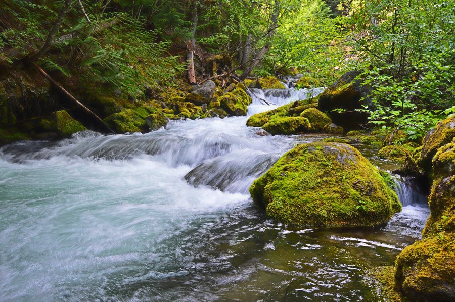
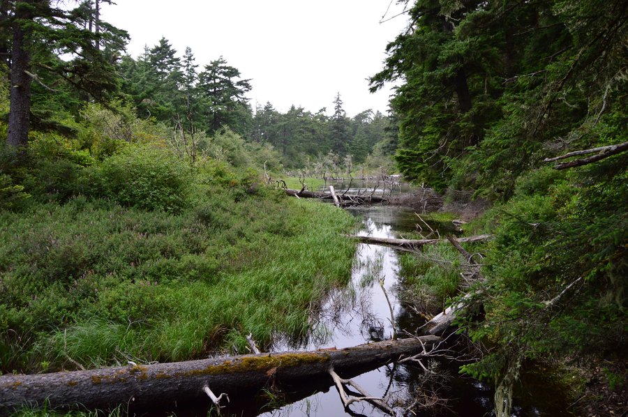
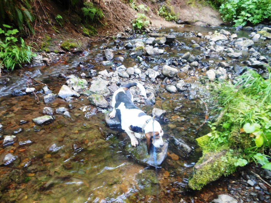
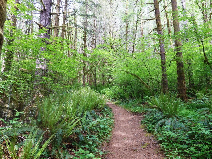
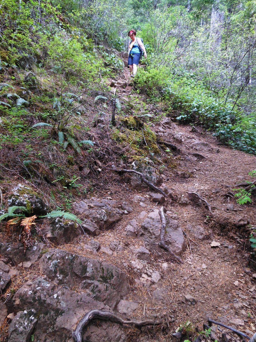
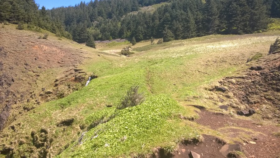
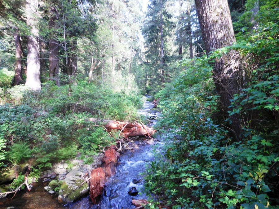
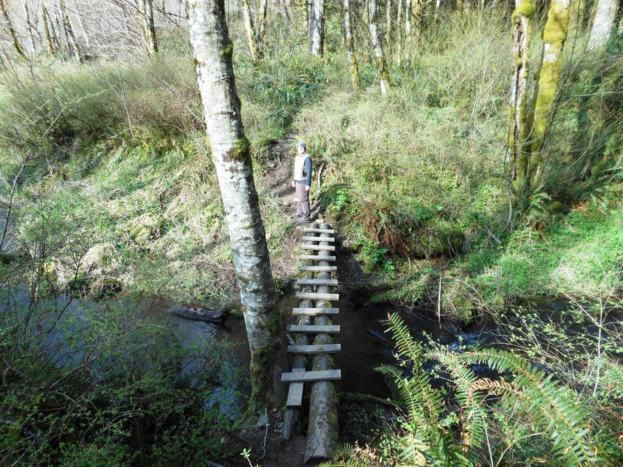
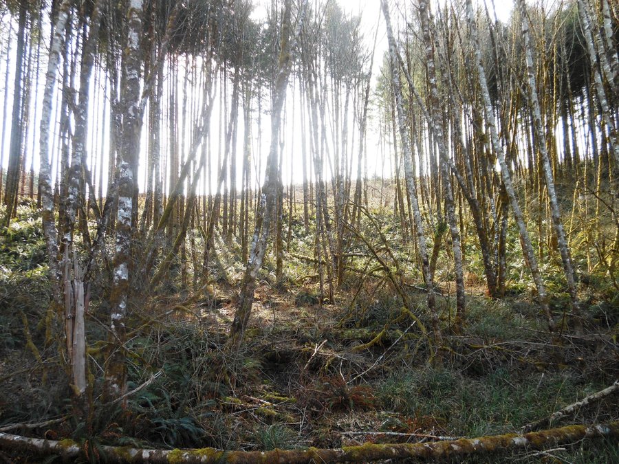
Northrup Creek Loop
9 miles of hiking • 1500' elevation gain •
After getting setup for the start of another school year I needed a quiet walk in the woods. This was almost perfect, if it hadn't been for the couple on their horses it would have been the perfect solitude forest walk. Great trail, hardly any horse "sign" and a nice ford across the little creek. I feel better.
September 4, 2014

September 3, 2014

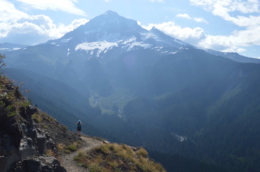
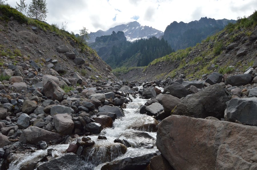
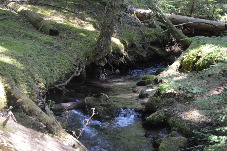
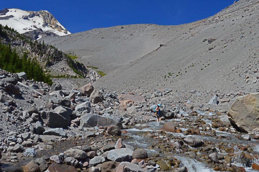
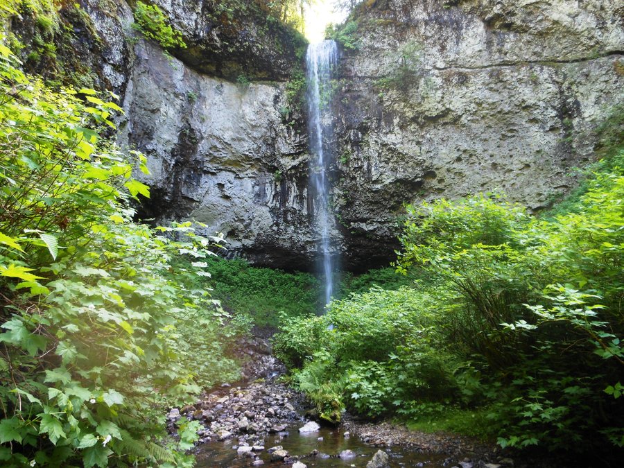
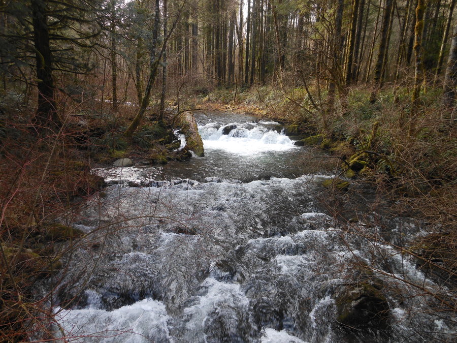
Top Spur Ramona Falls loop
11 miles of hiking • 2250' elevation gain •
Beautiful day on the trail, great views and easy fords. Timberline trail across Yocum Ridge is well maintained and we saw VERY few non-through hikers all day.
August 24, 2014

Urban Hike, Portland Esplanade and fountain tour
4 miles of hiking • 0' elevation gain •
Another family day... gorgeous weather.
August 23, 2014

August 20, 2014

Horsetail Ponytail Oneonta Loop
4 miles of hiking • 250' elevation gain •
Around the tails and back into the gorge... awesome day.
August 17, 2014

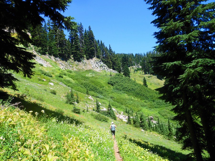
Hood River Meadows Loop
11 miles of hiking • 2250' elevation gain •
After a few Mtn Bike adventures it was time to get a big hike in again and WOW what a beautiful hike! No pictures or description we have read does it justice, our favorite hike this year.
August 9, 2014


August 8, 2014

Forest Park Firelane 15 loop
5.5 miles of hiking • 1000' elevation gain •
Longest trip for my daughter yet, the views on this one are great and there are VERY few people up on the north end of the park.
August 2, 2014

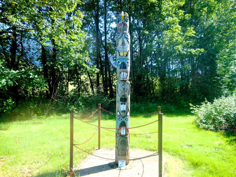
Fort Vancouver Loop
3 miles of hiking • 0' elevation gain •
Nice coffee walk around the Fort grounds and across the very cool land bridge
July 30, 2014

July 27, 2014

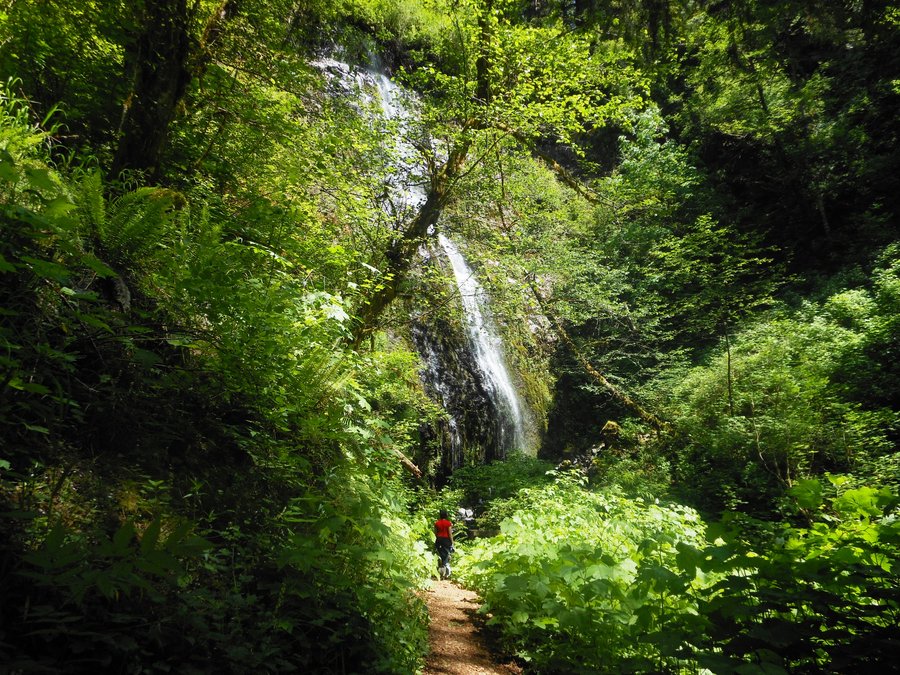
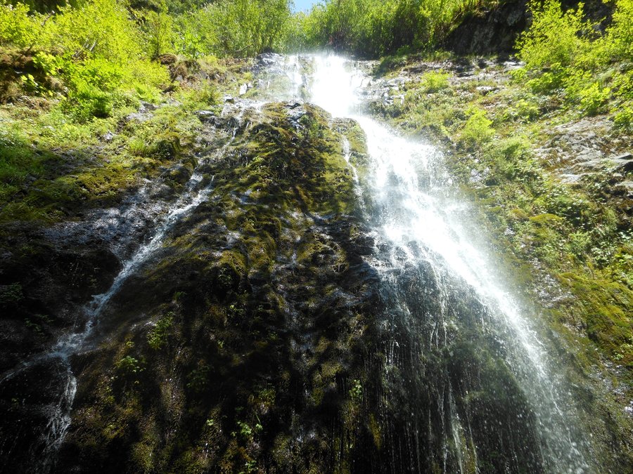
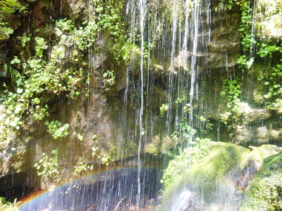
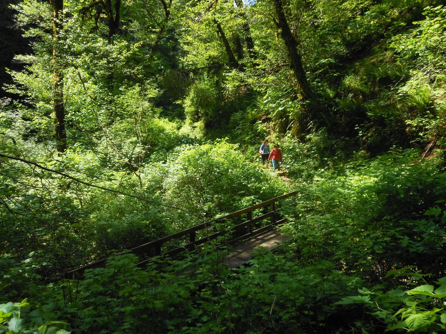
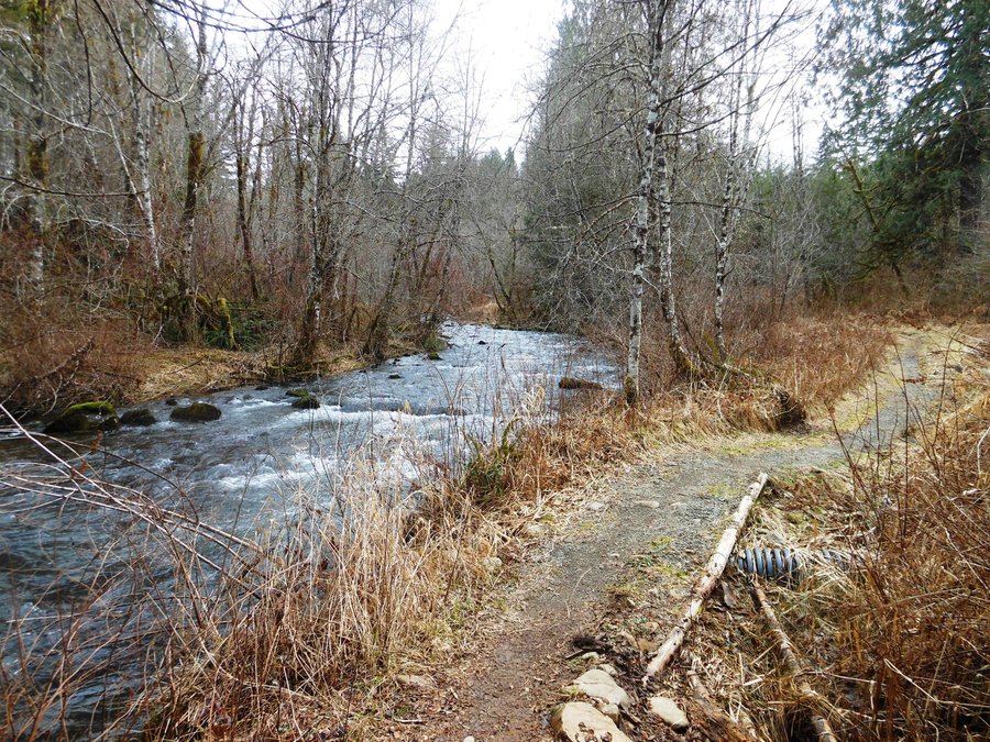
Tamanawas Falls
4.5 miles of hiking • 750' elevation gain •
Another daughter (and her friend) hike along, unexpected sun and more water then I was expecting in the creek.
July 22, 2014

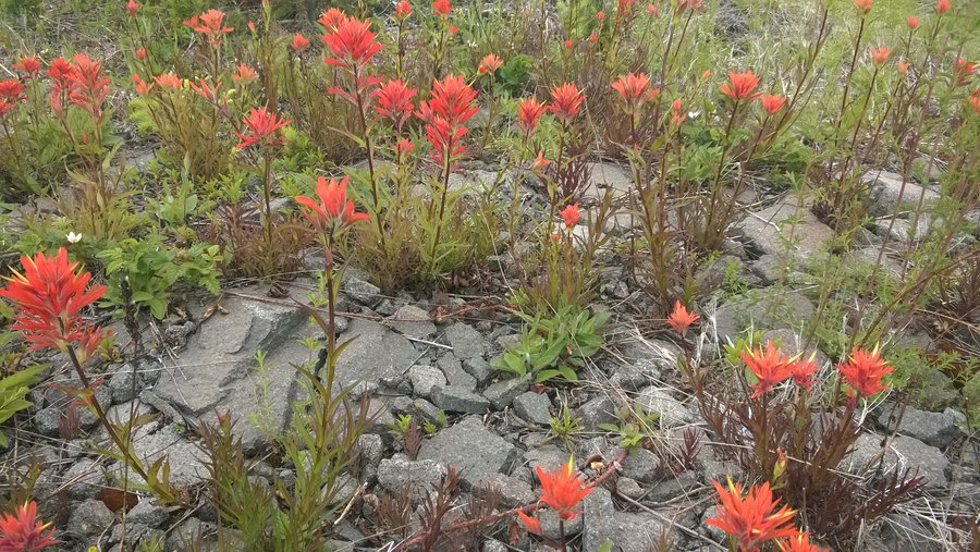
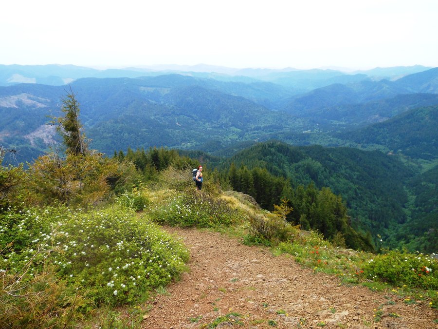
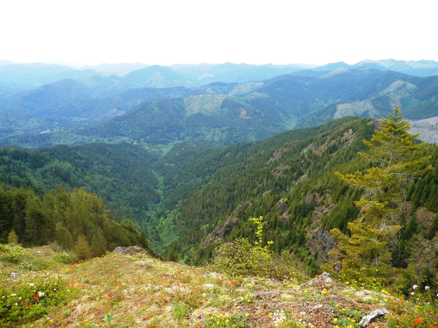
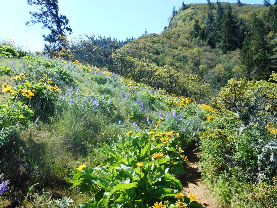
Grouse Vista OAB
7 miles of hiking • 2250' elevation gain •
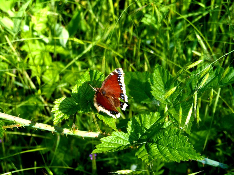
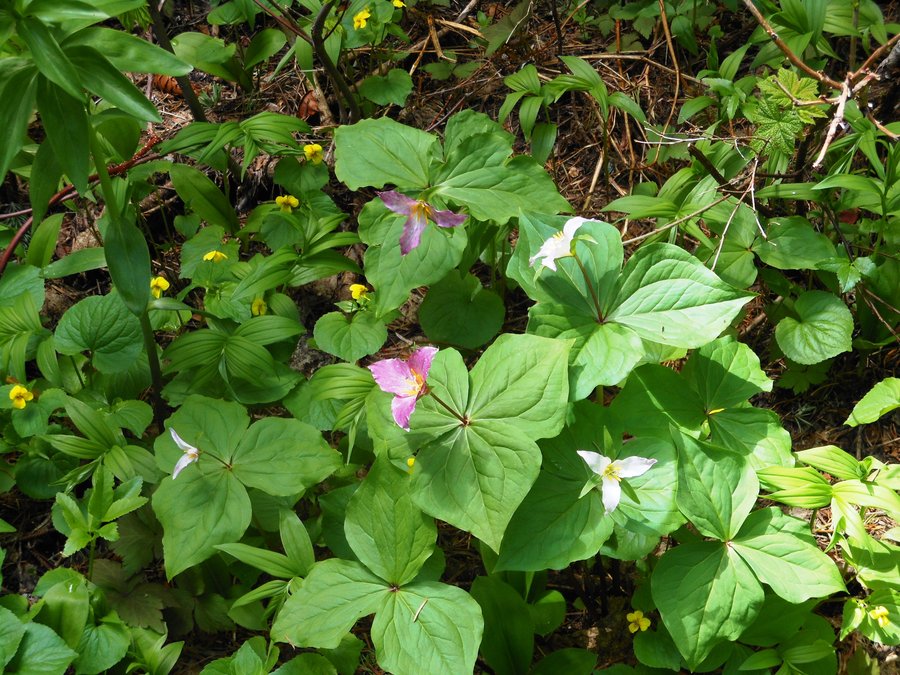
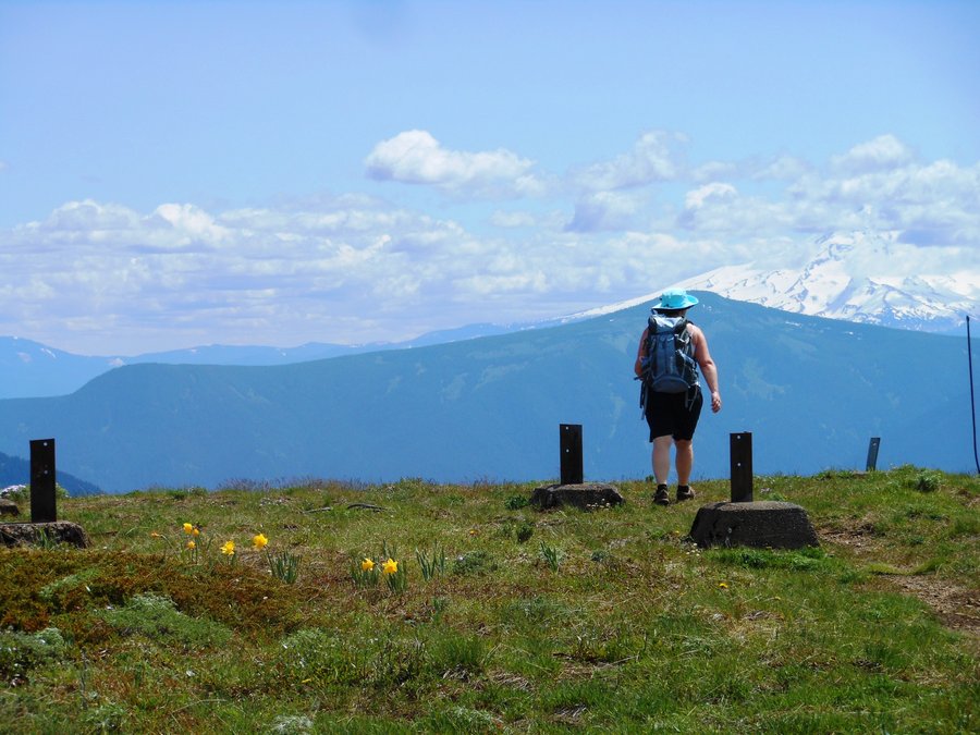
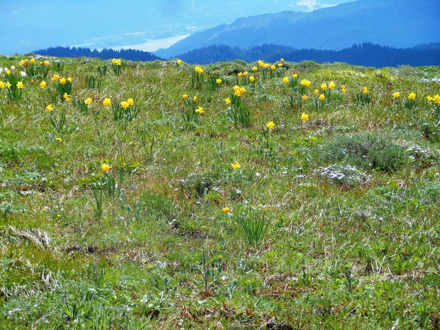
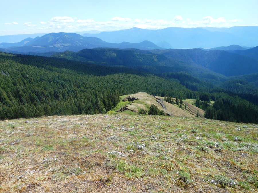
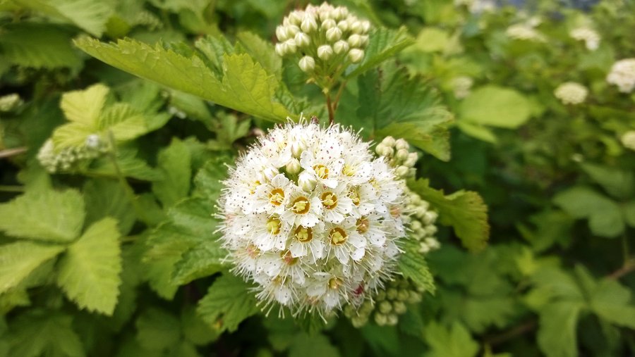
Wildflowers and butterflies! Bugged out on the road to Bluff Mtn so we saved the day with a quick jaunt taking my better half to the summit of Silver Star for the first time. Spent an hour or more alone on the summit, only people we saw were three nice folks we passed going down as we headed up to the summit. There are more wildflowers out right now, and especially paintbrush, than I have EVER seen.
July 21, 2014

St Helen's Devil's Elbow and back
4 miles of hiking • 250' elevation gain •
Great walk with the youngest daughter.
July 19, 2014

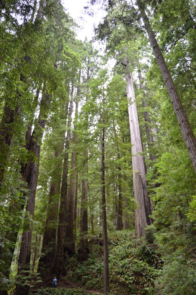
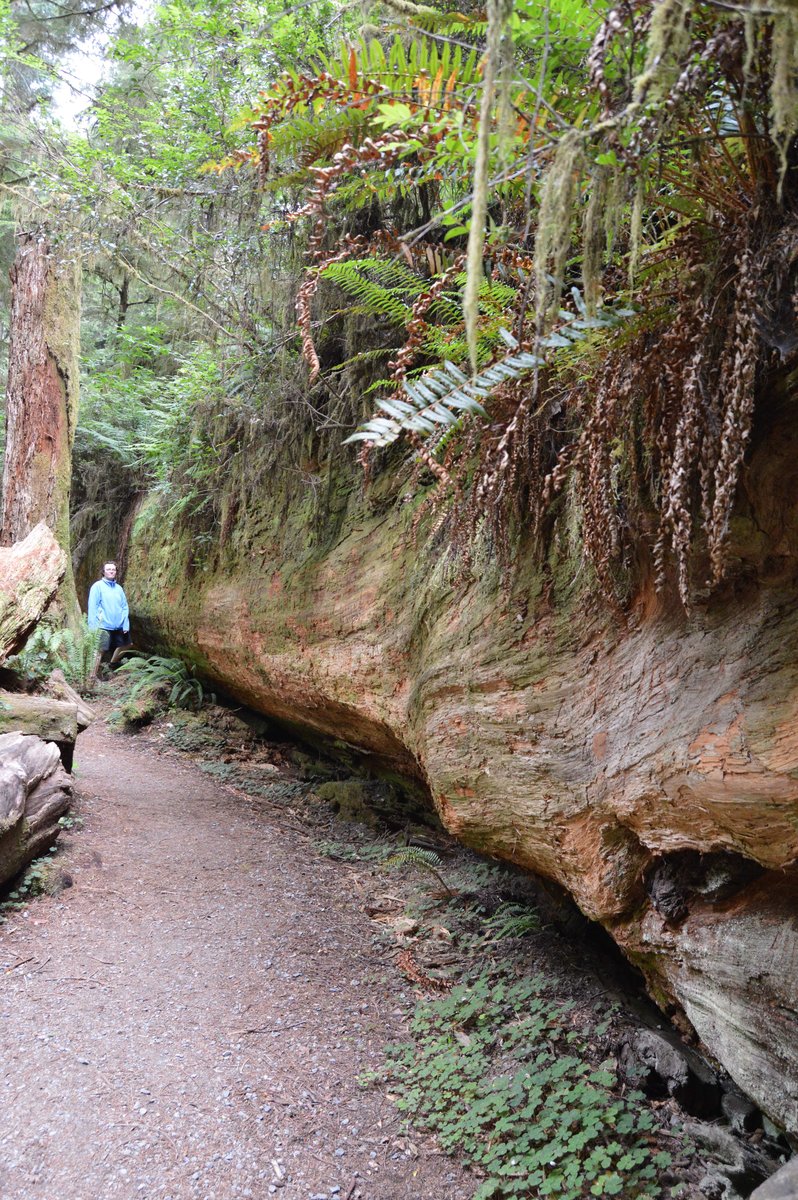
Trillium Falls, Redwoods National Park
3 miles of hiking • 500' elevation gain •
Our second Favorite hike... amazing how varied these trees can be.
July 13, 2014

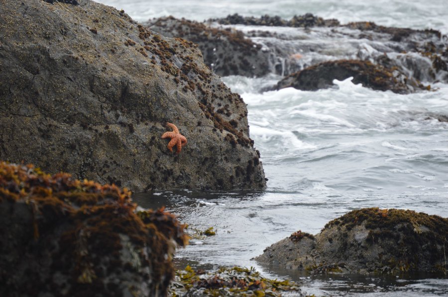
False Klamath Cove from Lagoon Trail
1.5 miles of hiking • 0' elevation gain •
Seals, starfish, fun rocks, great beach hangout
July 13, 2014

Riverside Trail Oregon Redwoods trail from Loeb State Park
3 miles of hiking • 500' elevation gain •
Anniversary day! Leg stretcher to prep for the Redwoods Natl park
July 12, 2014

July 12, 2014

Jedadiah Smith Redwoods, Simpson Reed Grove
1 miles of hiking • 0' elevation gain •
This was our favorite Redwoods Hike, lots of jaw dropping understory and very natural and "real" feeling, unlike some other groves.
July 12, 2014

Flores Lake to beach
1 miles of hiking • 0' elevation gain •
Morning leg stretcher that got shortened due to shabby conditions and trashy parking area.
July 11, 2014

July 11, 2014

Sisters Rocks
1.5 miles of hiking • 250' elevation gain •
Awesome jaunt down to a huge rock with a sea cave in it.
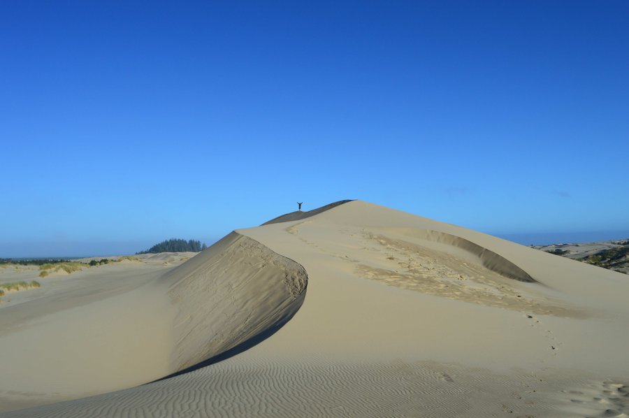
July 11, 2014

John Dellenback Trail dunes hike.
1.5 miles of hiking • 250' elevation gain •
Awesome morning leg stretcher to visit some big dunes all by ourselves. Next time we will do the whole trail to the beach. Very cool
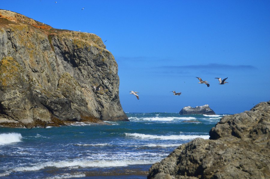
July 10, 2014

Bandon Islands Loop
5 miles of hiking • 250' elevation gain •
The rock formations were amazing and we saw MULTIPLE squadrons of Pelicans while on the beach flying north. It was our first Pelican encounter of many on this week of adventures.
July 10, 2014

Coos Bay South Slough Estuary
3.5 miles of hiking • 500' elevation gain •
Sadly the abundant wildlife was all taking a siesta.
July 10, 2014

Sutton Creek
1.5 miles of hiking • 0' elevation gain •
Leg stretcher to start the day on the way to Siltcoos River
July 9, 2014

Siltcoos River and Lagoon Loop
4.5 miles of hiking • 250' elevation gain •
Great hike, saw harbor seals, huge crayfish, had to ford the Siltcoos on the beach and saw a family of river otters fishing for lunch. I recommend this one.
July 9, 2014

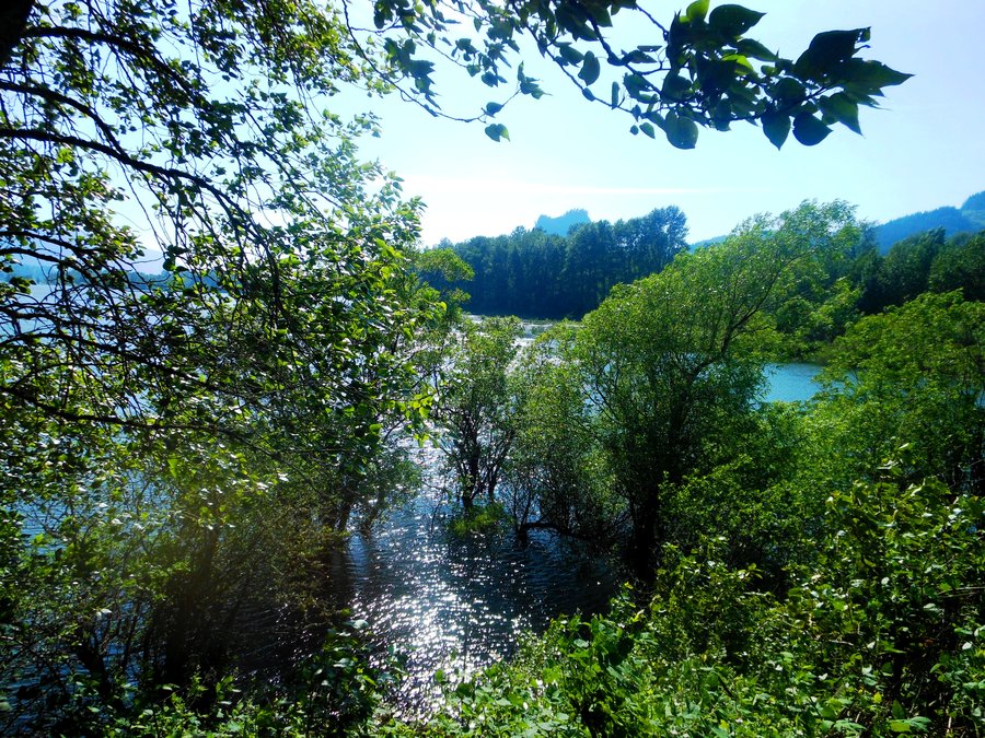
Lake Marie loop by the Umpqua Lighthouse
1.5 miles of hiking • 0' elevation gain •
Nice alone hike around this pretty little lake.
July 9, 2014

Eel Lake West Trail out-and-back, at Tugman State Park
2 miles of hiking • 0' elevation gain •
Romantic moonrise hike out to an overlook and beach in a jut-out on the lake. What a beautiful lake...
July 9, 2014

Haceta Head loop from Washburn State Park
7.5 miles of hiking • 1250' elevation gain •
Awesome hike with EVERY kind of weather imaginable. China Creek trail was gorgeous.
July 8, 2014

South Beach State Park Exploration
3 miles of hiking • 250' elevation gain •
Explored Cooper Ridge and Mike Miller trails south of Newport OR
July 7, 2014

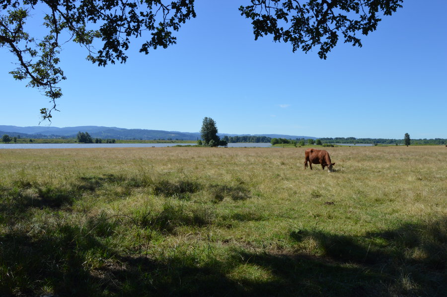
Oak Island Loop / Sauvie Island
3 miles of hiking • 0' elevation gain •
Not much to see here unless you like cows... trying out the new camera.
June 30, 2014

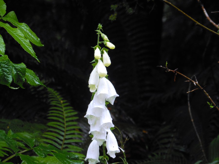
North Head Lighthouse, Cape Disappointment WA
2.5 miles of hiking • 250' elevation gain •
Frogs EVERYWHERE! Short family hike with the daughter and her friends to visit the lighthouse. Awesome ripe thimbleberries and white Foxglove in bloom.
June 28, 2014

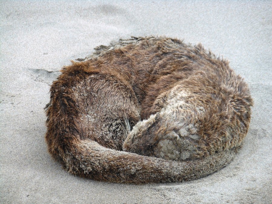
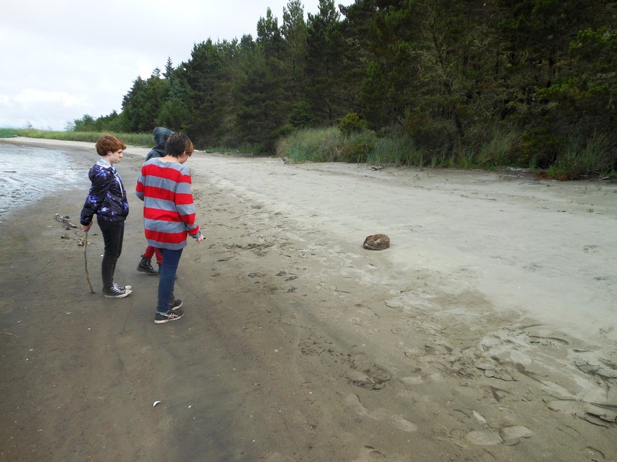
Leadbetter Point, Long Beach WA
4.5 miles of hiking • 0' elevation gain •
OMG mosquitoes!!!!!!!!!! Otherwise very muddy and not so interesting... but, we found a young sea otter sleeping on the beach. VERY cute and something I never thought we'd see. Good thing there was nobody there to bother it.
June 28, 2014

Sandy River Delta
3.5 miles of hiking • 0' elevation gain •
Climbed up to Hamilton Saddle the other day on the mountain bikes (which was epic) and was scheduled to do Barlow Pass today but the forecast was so bad we bagged it... with the unexpected hole in the rain we had to go somewhere so we did out of the blue. Pretty area, great for dogs, bit boring of a hike.. the clouds were the star of the show today. At least we were out of the house.
June 27, 2014

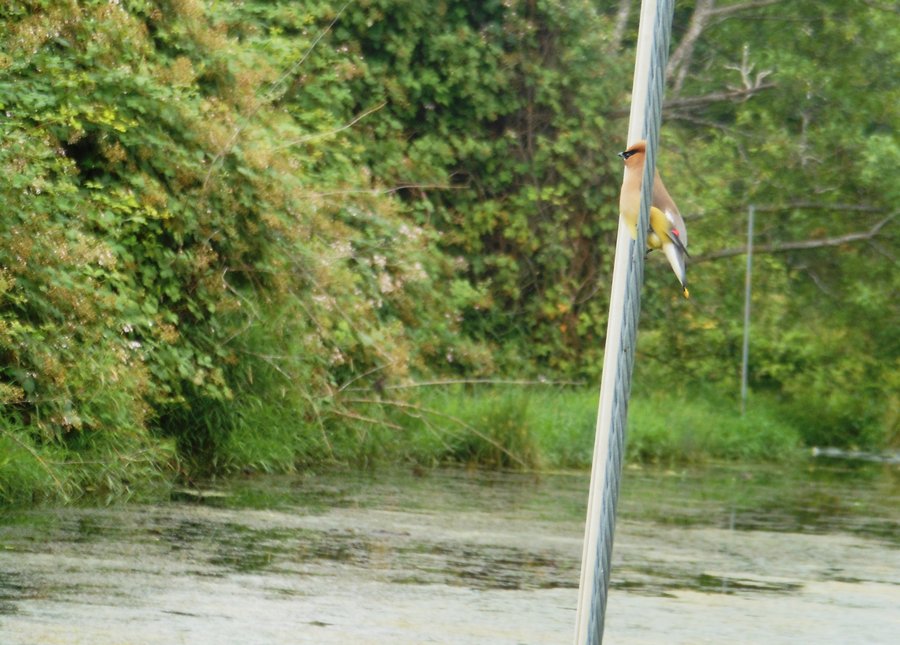
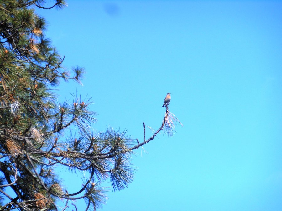
Columbia river slough trail
3.5 miles of hiking • 0' elevation gain •
On the way home saw this trailhead and had to stop. Not much to recommend... saw a few interesting birds, this is the Cedar Waxwing.
June 27, 2014

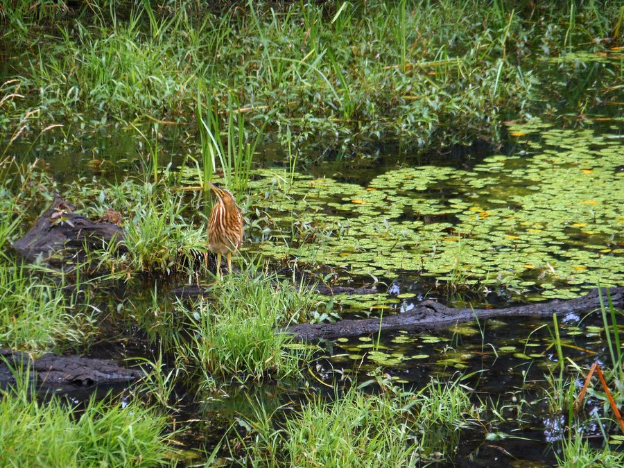
Steigerwald Nature Preserve
3 miles of hiking • 0' elevation gain •
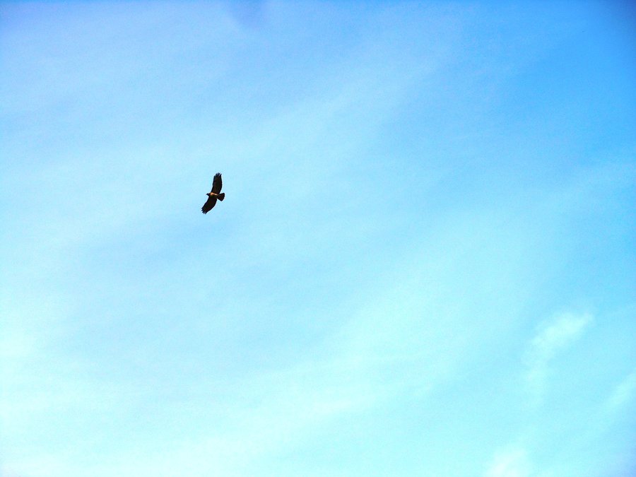
Found a hole in the weather and went to see the local wildlife with our daughter and her friend. Saw deer, red tail hawks, harrier hawk, many bittren, red headed wood-pecker, bunny, bullfrog and maybe even a golden eagle. The girls enjoyed it and it was nice getting out of the house.
June 26, 2014

Elowah / Upper McCord Falls
4 miles of hiking • 750' elevation gain •
A nice family hike with all of the girls. McCord was nice and the trail was interesting but Elowah was really the star of the day. We also took them out to see Mosier Falls before dinner at Full Sail and a walk along the sand bar in Hood River. Next time we are going to use this trailhead to go out to Wahclella.
June 21, 2014

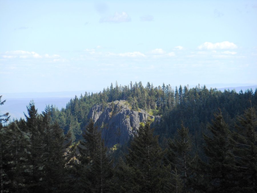
Sherrard Point / Franklin Ridge Loop (or, why gyms suck and hiking RAWKS!)
12.5 miles of hiking • 3000' elevation gain •
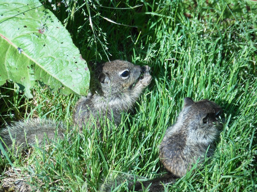
Parked at the start of the Oneonta Trail and headed down to Franklin Ridge trail, down Franklin through some spectacularly overgrown trail segments to the spur that goes to the super semi-secret awesome overlook ;), then across to Larch Mtn Trail and back up to Sherrard (on a clear sunny afternoon finally), and the 1/4 mile road trek down to the car. What is amazing about this trail? Everything, good grade is never steep, Christmas trail, 3 amazing overlooks, good solitude for the gorge and long enough to kick your butt. Another lovely hike... We also stopped at Portland Women's Forum State Scenic Viewpoint where we had, for some reason, never stopped before. There is insanely picturesque view of Vista House with the WA gorge highlights in the background. Also saw a family of baby squirrels... insane cuteness.
Now for why the gym sucks. Could you do the treadmill at full incline for 5 1/4 hours at the gym pushing almost as hard as you could to the point where you were completely drained? No... it is amazing the kind of workout hiking is and with the distractions of nature and scenery and the motivation of having to get back to the car it is actually fun, there is just no way to match it. Even a short 4-5 mile hike with moderate elevation gain is an amazing 2-hour workout you could not touch at a gym. Add in the benefits of breathing "fresh" air, not your gym neighbor's sweat and perfume, the sheer number of pleasant accessible moderate hikes and, other than resistance training, I don't know why people even go to the gym around here.
June 18, 2014

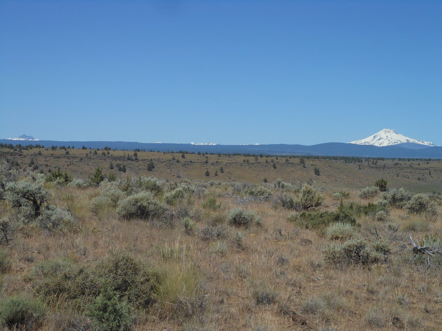
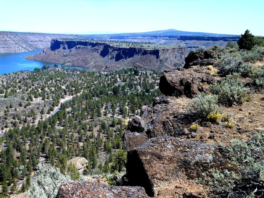
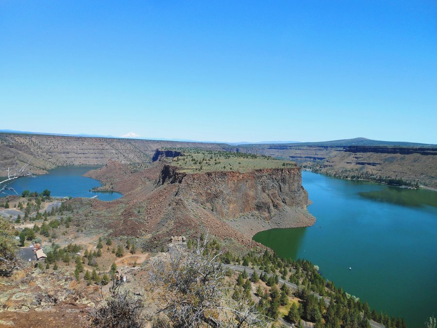
Tam-a-lau out and back
5 miles of hiking • 750' elevation gain •
Stayed in the State Park deluxe cabins and hiked this beautiful trail out to "The Island" overlook. It was a little on the hot side but it was amazing. From the top you can see every peak from Bachelor to Hood...
June 10, 2014

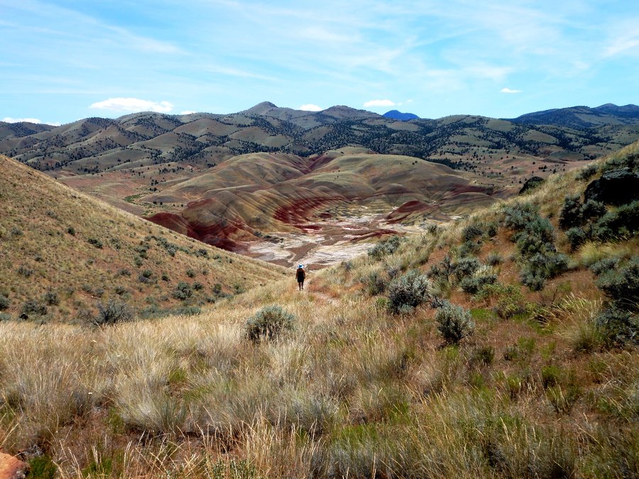
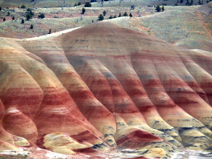
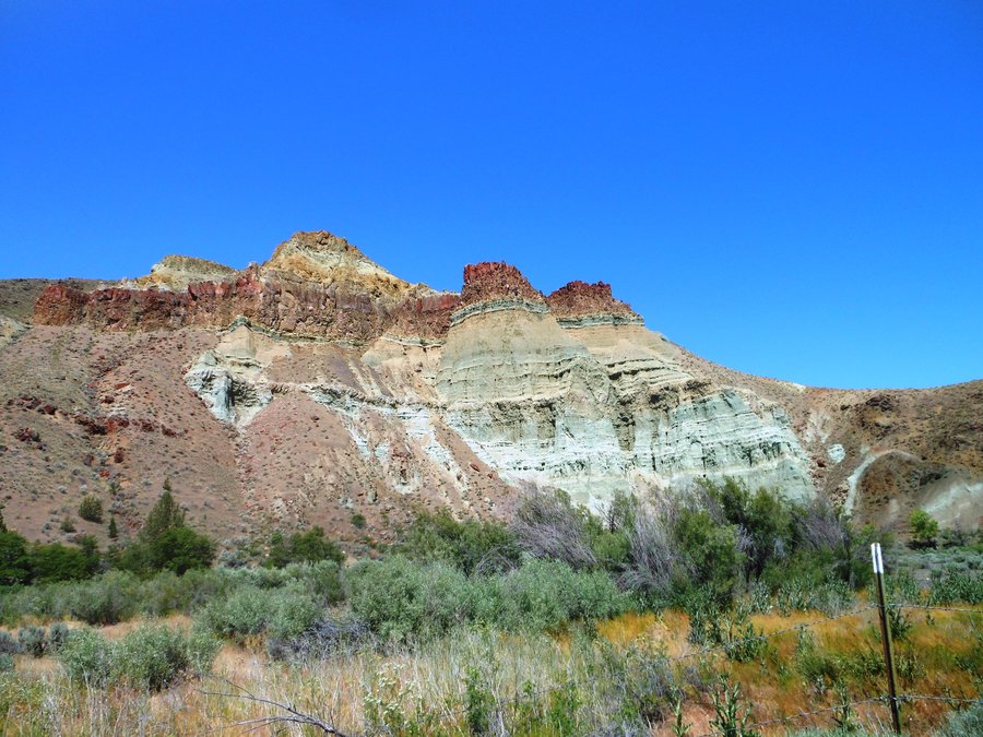
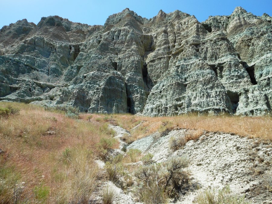
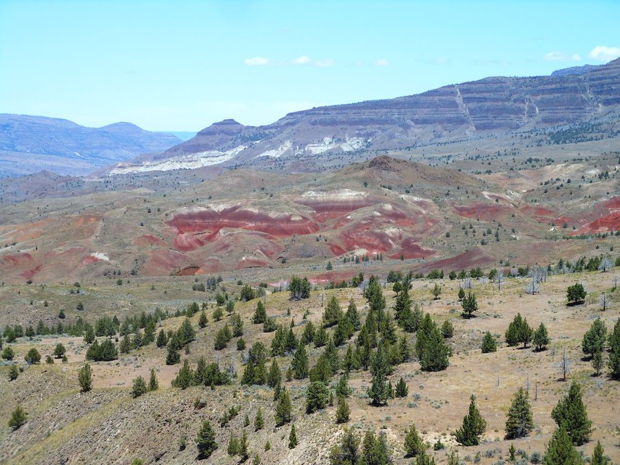
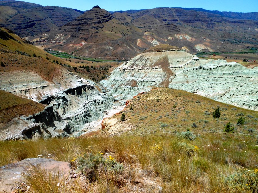
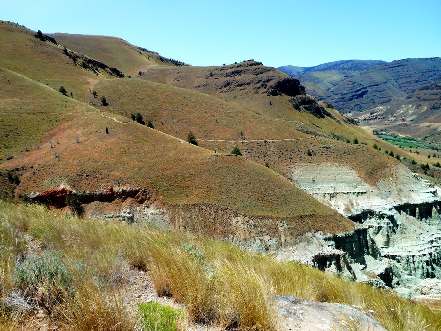
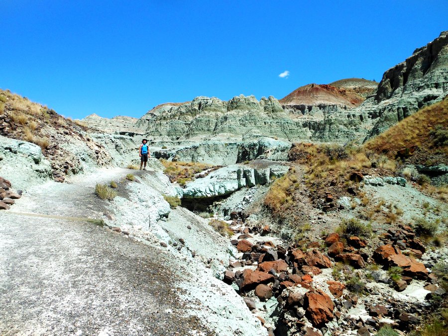
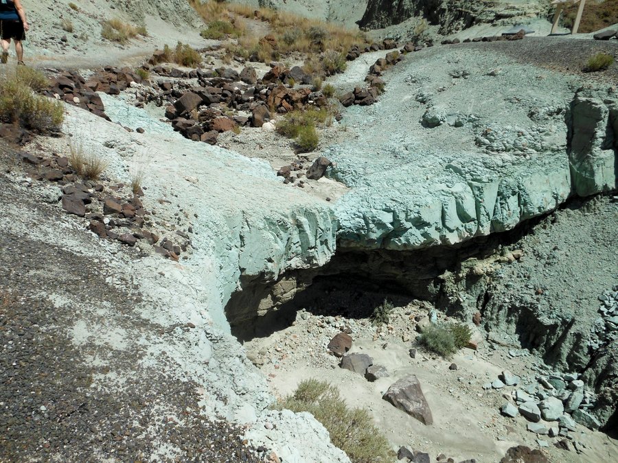
Painted Hills Exploration
3 miles of hiking • 500' elevation gain •
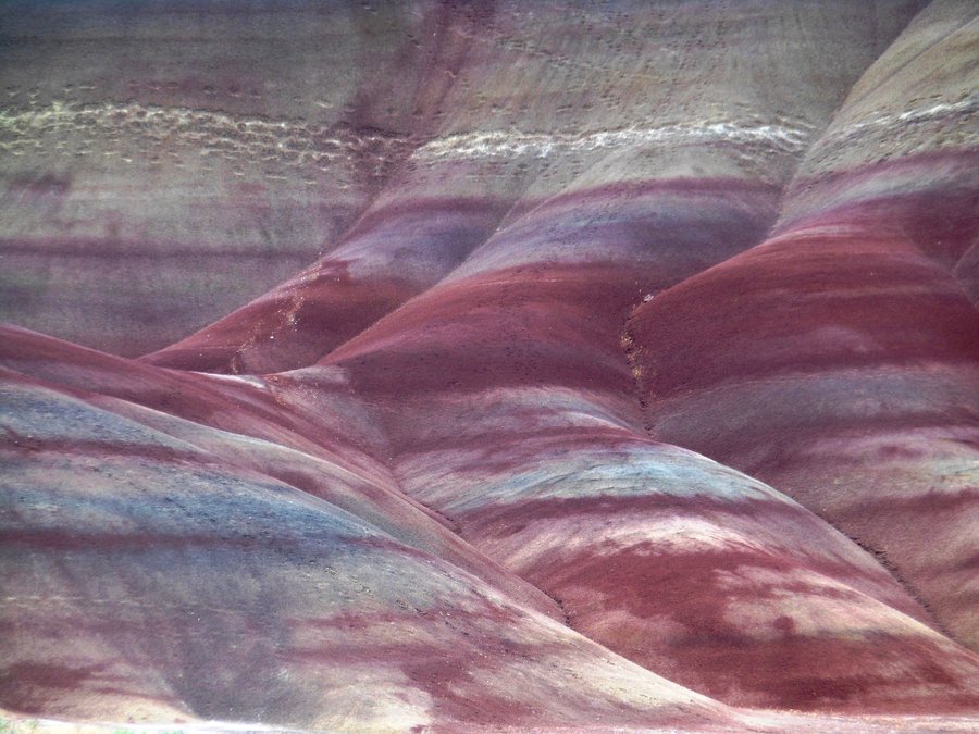
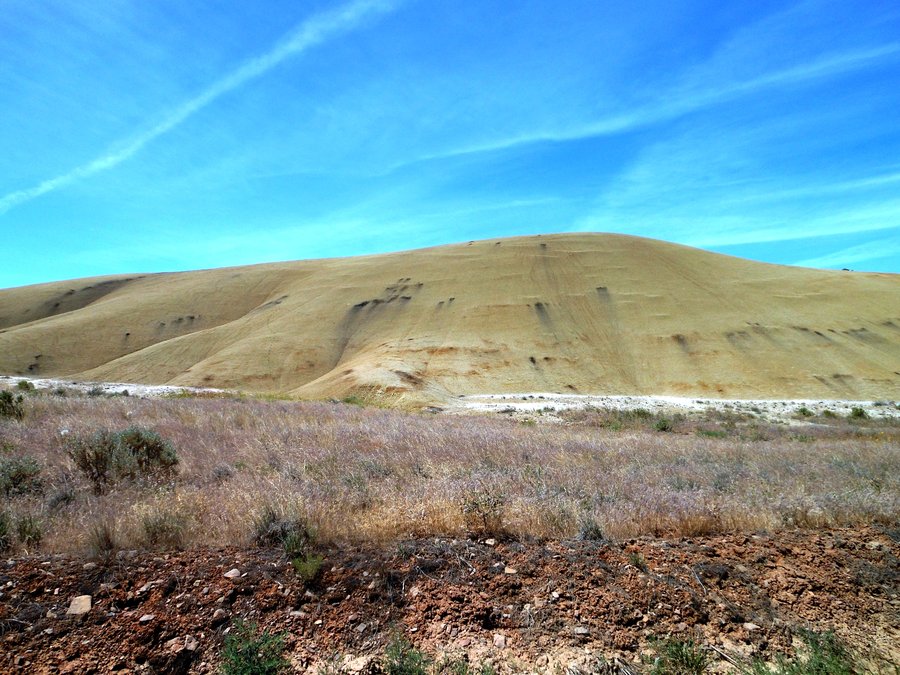
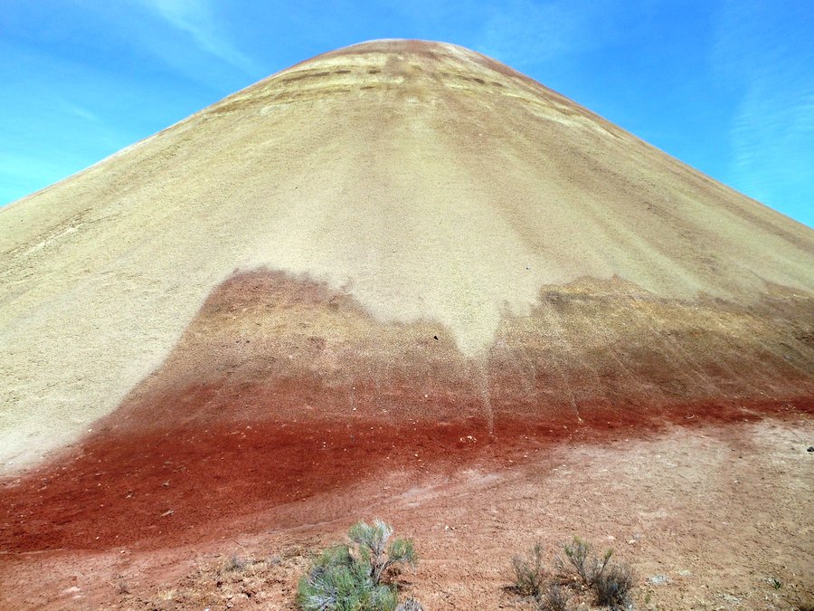
Finally had to leave our little cabin in the woods and head for civilization, but a stop at Painted Hills was our treat for the day. We did all the trails and the Rim Trail is the BEST climbing up and above everything with a view to every section of the park. More amazing geology and history, and another Natl Park in our book. If you collect Natl Park cancellations the Only Painted Hills stamp is at the Blue Basin paleontology center.
June 9, 2014

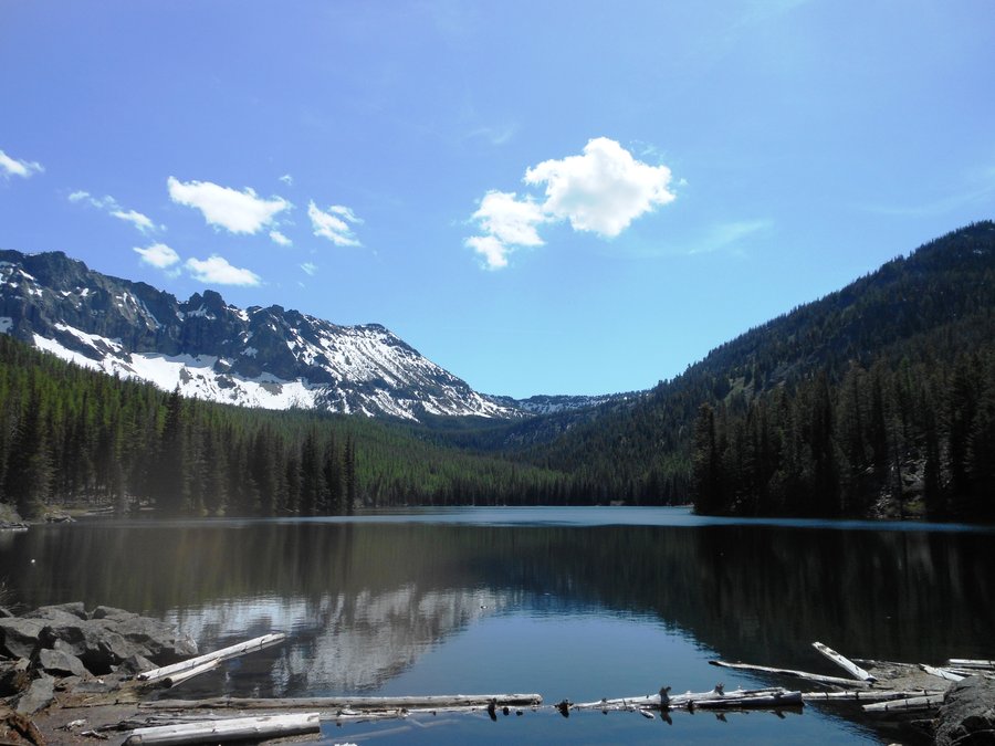
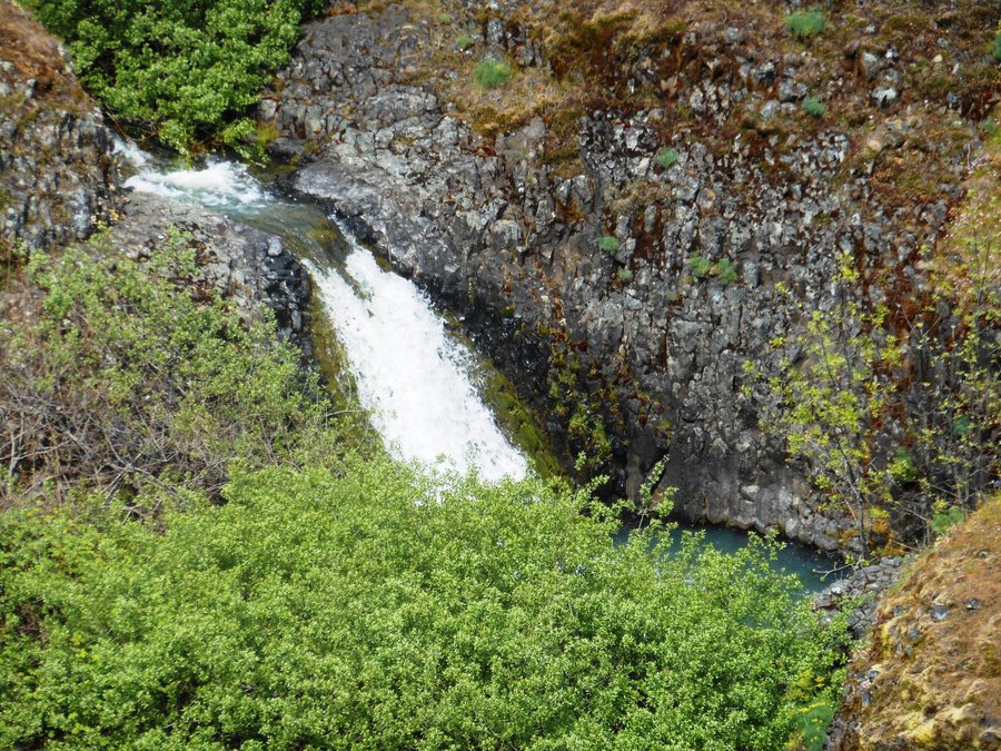
Strawberry Lake / Falls
6.5 miles of hiking • 1250' elevation gain •
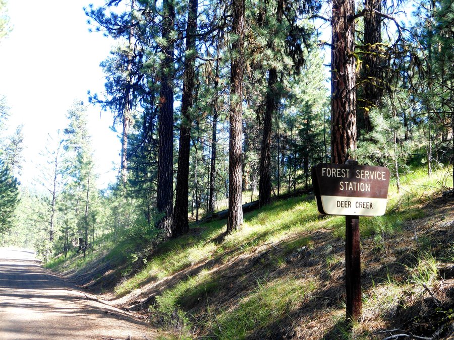
Stayed at the US Forest Service Deer Creek Guard Station, very cool and utterly solitary place to stay, local forest service could learn from Malheur's fantastic road maintenance and signage (maybe they are better funded). WOW!! What an amazing scenic hike. Pictures just will not do it justice, the lake is just the start and the Falls were pounding from all of the snow melt. Unfortunately there was too much snow above the falls to make it to Little Strawberry Lake. SO much to explore in this area.
June 8, 2014

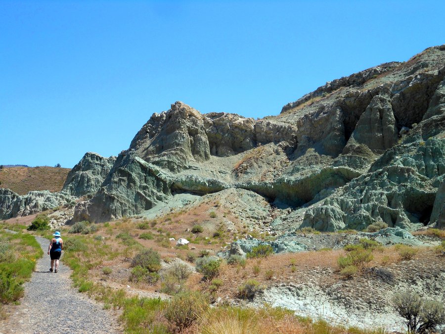
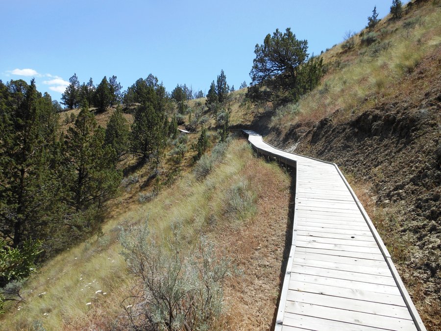
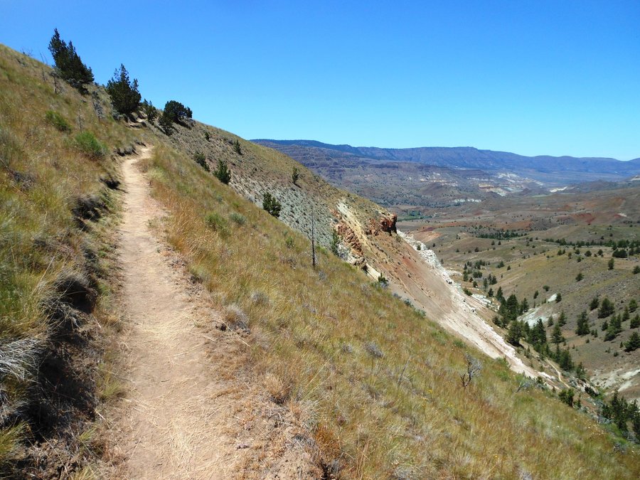
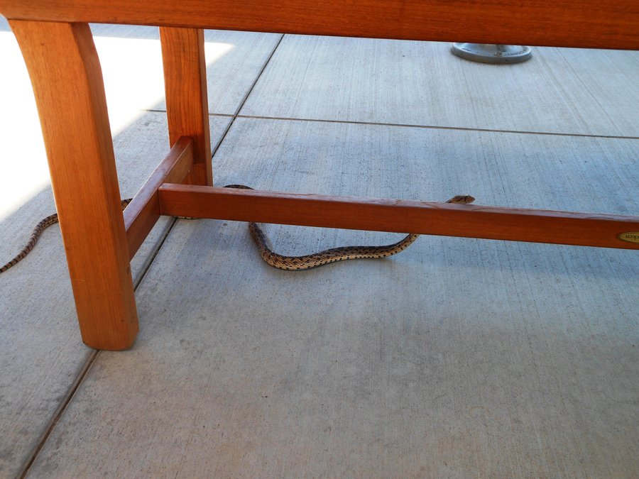
Blue Basin
4 miles of hiking • 1000' elevation gain •
Hit the Overlook and the Island In Time trails, both amazing for different reasons. Overlook trail, which climbs around and up over the basin, is MUCH less crowded and has fantastic views of the surrounding valley. Also swung over to the Cant Ranch and the Paleontology Center where we met a gopher snake friend in the parking lot. Then it was off to our weekend wilderness hideaway.
June 7, 2014

Wind Mountain
2.5 miles of hiking • 1000' elevation gain •
Great little hike with a buster of a climb, but not boring at all.. 18 logs to go under/over and the ability to stand on the very tip-top of a mountain. Really cool Native American history in the area as well. Standing on the top all by ourselves with beautiful views all around, looking over at Dog Mtn with my binoculars at the CROWD standing on top. Good hike...
May 31, 2014

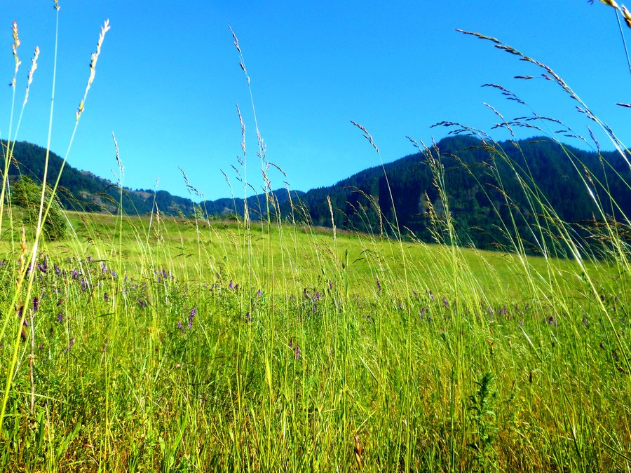
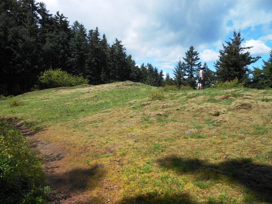
Strawberry Island Loop
3.5 miles of hiking • 250' elevation gain •
Needed another hike to go with our Wind Mtn day so we decided to go back and loop this one. AMAZING views of Munra, Wauneke, Wauna, Nesmith, Table, Hamilton, Aldrich, Greenleaf, Sacagawea, Cedar, etc... Very photogenic hilltop meadow location full of pretty flowers. Once again, a very nice place to explore on a nice day.
May 31, 2014

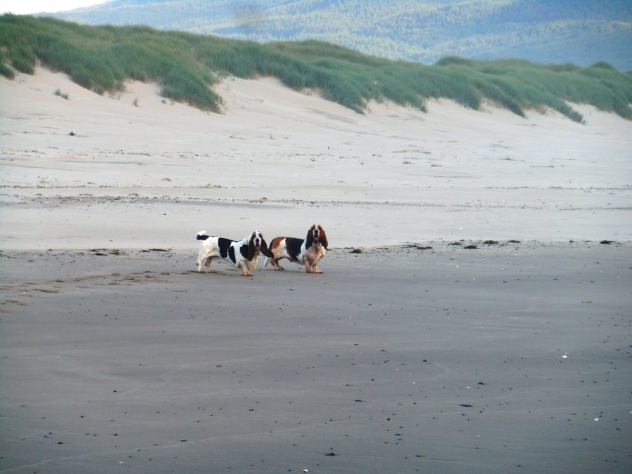
Bayocean Spit small Loop
2 miles of hiking • 0' elevation gain •
Family hike day! Too late to do the whole loop but had a blast with the family and dogs all the same, nice beach and lots of treasures to look at. Dinner at the new Pelican Tap room in Tillamook.
May 30, 2014

Niagara Falls
2.5 miles of hiking • 500' elevation gain •
Excellent hike with the family. I seem to be driving a lot of gravel lately, this is only 5 miles of it and no pot holes hardly at all, even did it in the Prius. Well worth the 17 mile drive inland from Beaver to see Pheasant and Niagara falls.
May 30, 2014

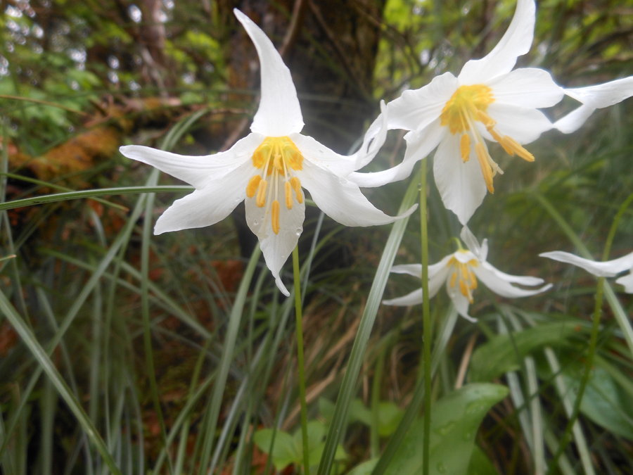
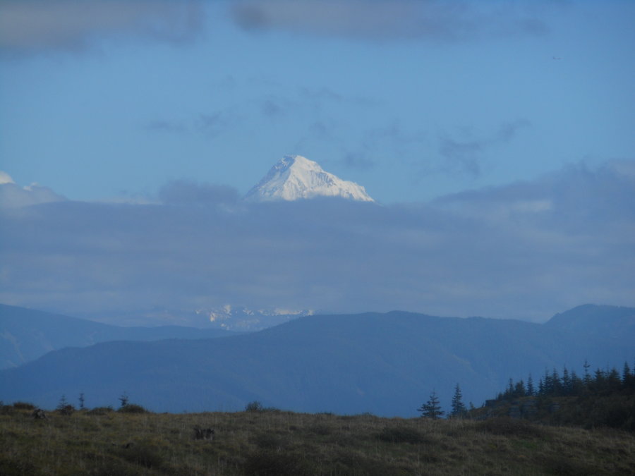
3 Corner Rock via PCT from the North
9 miles of hiking • 2000' elevation gain •
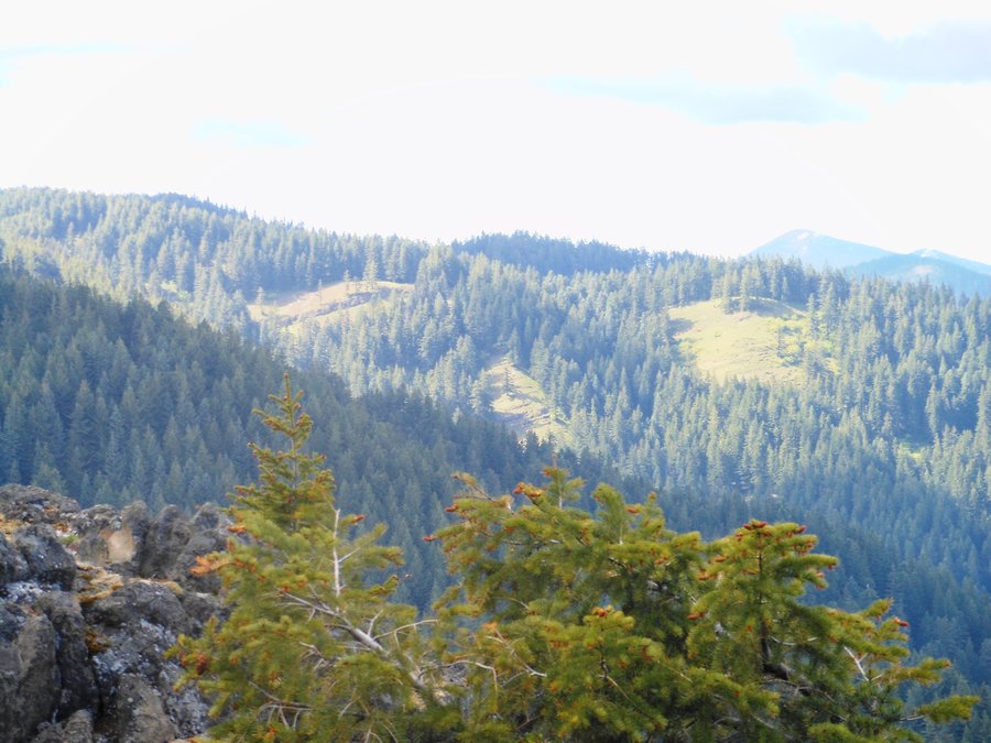
After a few Mountain Bike trips it was back to hiking the trail today. Complete solitude and awesome views were the story of the day along with the gentle graded climb. We went south on the PCT about 3.5 miles then looped back up to 3CR on the logging roads (with one small bushwhack due to a missed cutoff) which offered MUCH better views than the forested trail. There is, however, an awesome rocky outcropping viewpoint about 1 mile from the start of the trail on the left and the the Avalanche Lilies were out in huge amounts, more than I have ever seen, there was no wind and the sun even came out full force for the trip back to the car. Just another beautiful day!
May 28, 2014

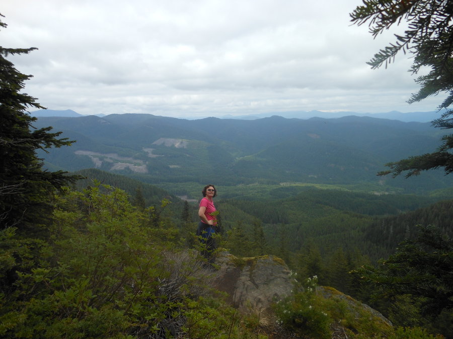
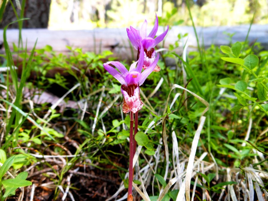
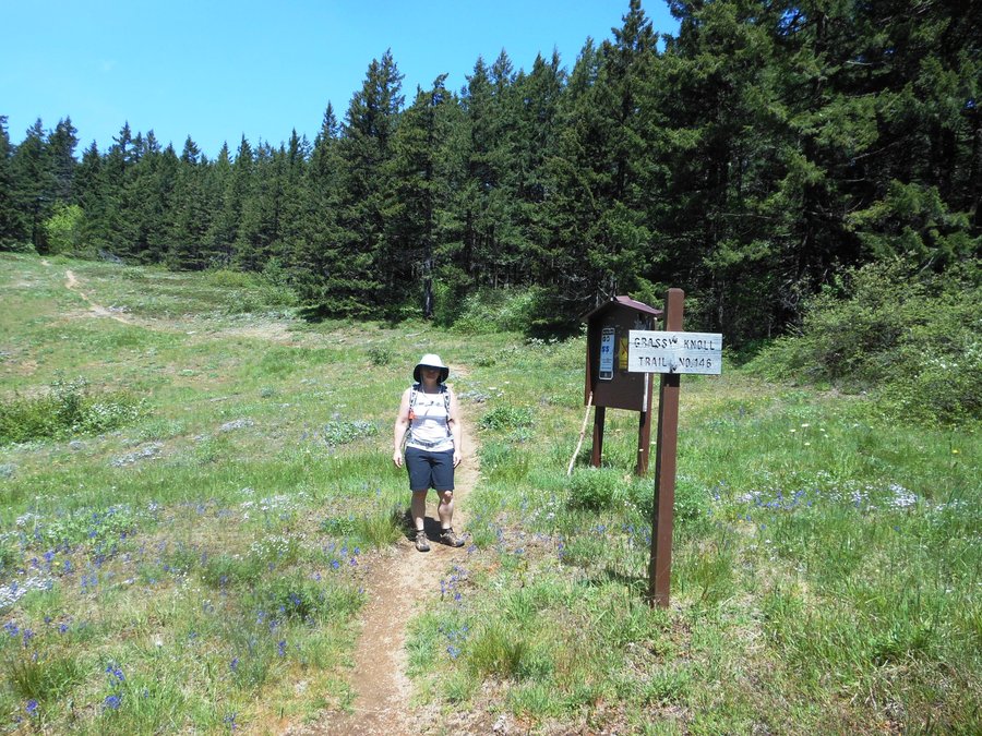
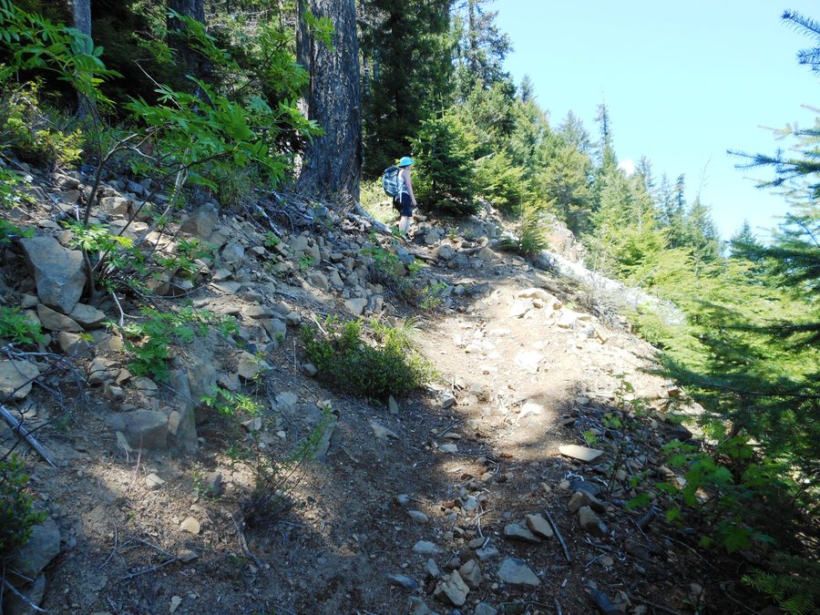
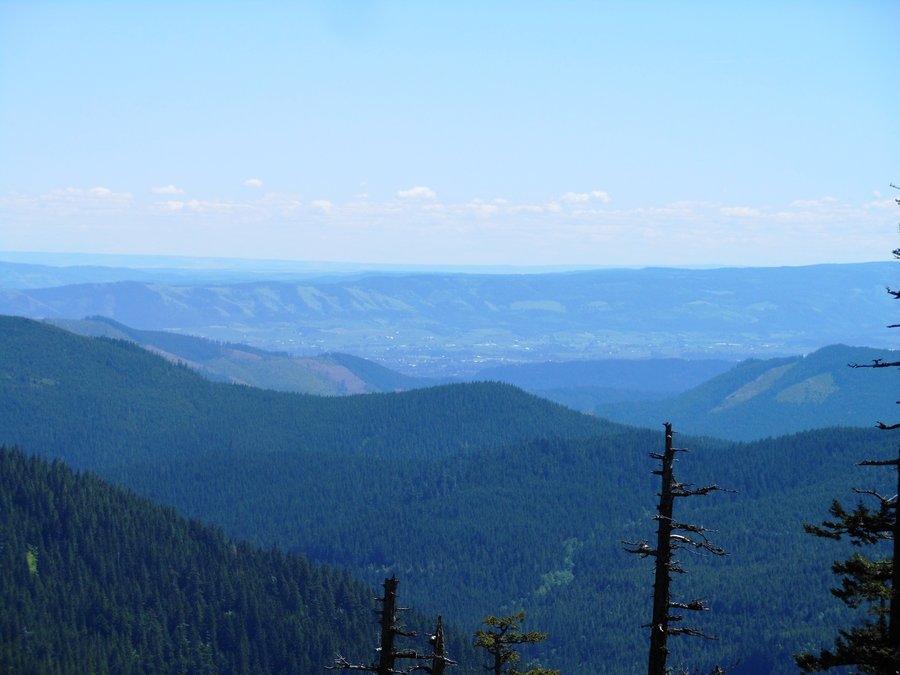
Picnic Hike to Grassy Knoll / Grassy Pass
6 miles of hiking • 1750' elevation gain •
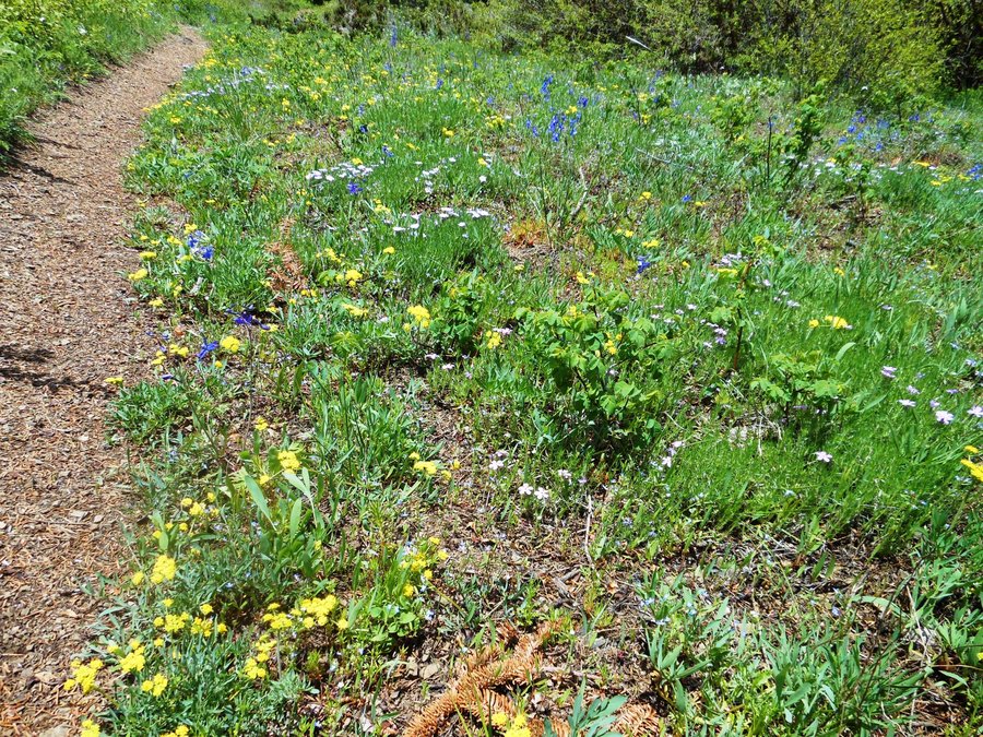
The Hike: Not a soul in the whole area and 72 degrees with maybe 8mph wind on top of the knoll. The beginning climb is steep in places but never too steep and the views starting from the first rock outcropping at about 3/4 mile are spectacular. Hood River and HR Mtn, Adams, Hood, the Gorge, Dog and Aug, it was just fabulous. Found 1 3ft patch of snow at 3800ft, Had lunch at Grassy Pass and headed back, from what I've read in many many places the ROI for the trip to Big Huckleberry is not worth it unless you want the exercise. :) The lovely undulating trail along the ridge made this one of my favorite hikes to date.
The Flowers: They are everywhere and very pretty, some just past prime, some just coming into prime depending on where you are on the trail. Another week or two and might be even prettier.
The road: WOW, that was fun! Not NEARLY as bad as I was expecting, seriously. On the way down I was driving over the pot holes on purpose... but I just bought an older CRV for our trail car and I would NEVER have gotten the Prius up here. So if you have a passenger car it may be difficult in about 5 places over the course of the 12 miles of gravel. With good driving and a car that isn't too low it IS possible. If you have even a little higher clearance vehicle this road is a breeze and it is a really beautiful drive.
The food: Turkey and provolone on Cheese buns with spinach and Momma-Lil's peppers, Kettle chips, and Clearly Tangerine Kombucha. Butter horns for dessert.... now THAT's hiking.
May 19, 2014

 1
1
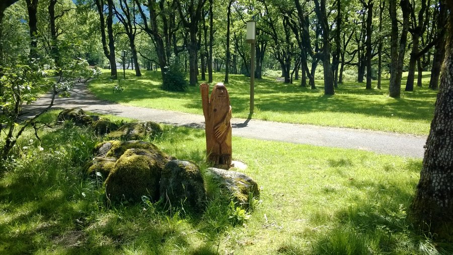
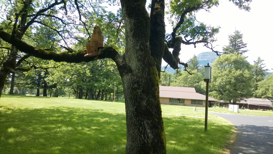
North Bonneville Heritage trails
4.5 miles of hiking • 250' elevation gain •
Great hike with the Family. Hamilton Creek restoration project, Fort Cascade Trail was super cool forested and had lots of interesting history lessons along the way and Strawberry Island was just an amazing meadow hike with wonderful views in ALL directions. Didn't realize that Hamilton Mtn looks like a gorilla from that perspective, the top is so boring. :) Sasquatch trail is VERY entertaining as well, didn't know Bigfoot played golf...
May 16, 2014

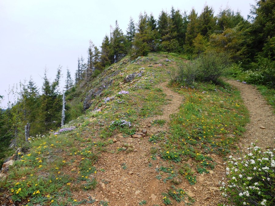
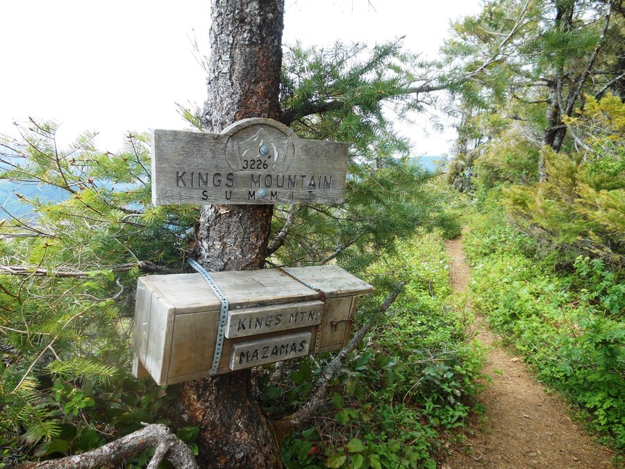
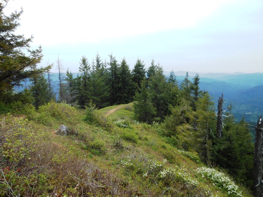
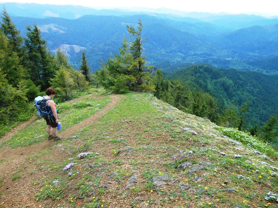
Kings Mtn / Jr Loop
6.5 miles of hiking • 2750' elevation gain •
What a friggin climb. Hot and humid, no breeze... at least there was solitude. Only saw 3 people all day and had the summit to ourselves. Counterclockwise rotation, spur to Kings Mtn summit, scary steep sliding rocks decent down across KM Jr (bring poles and maybe spikes), and back. Summit of KM was gorgeous and covered in flowers, but views were limited. When they say steep in the trip reports thay MEAN it and there is currently a small creek ford on WRT just west of the WRT KMT junction. Some days we hate climbs... :)
May 14, 2014

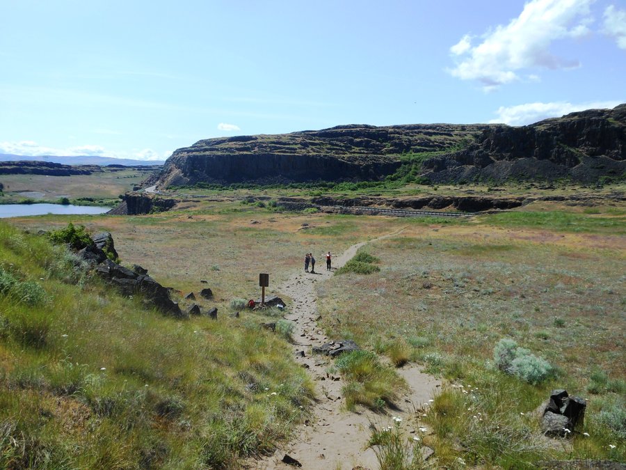
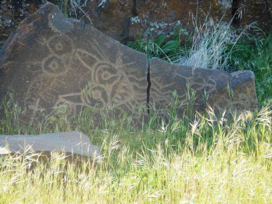
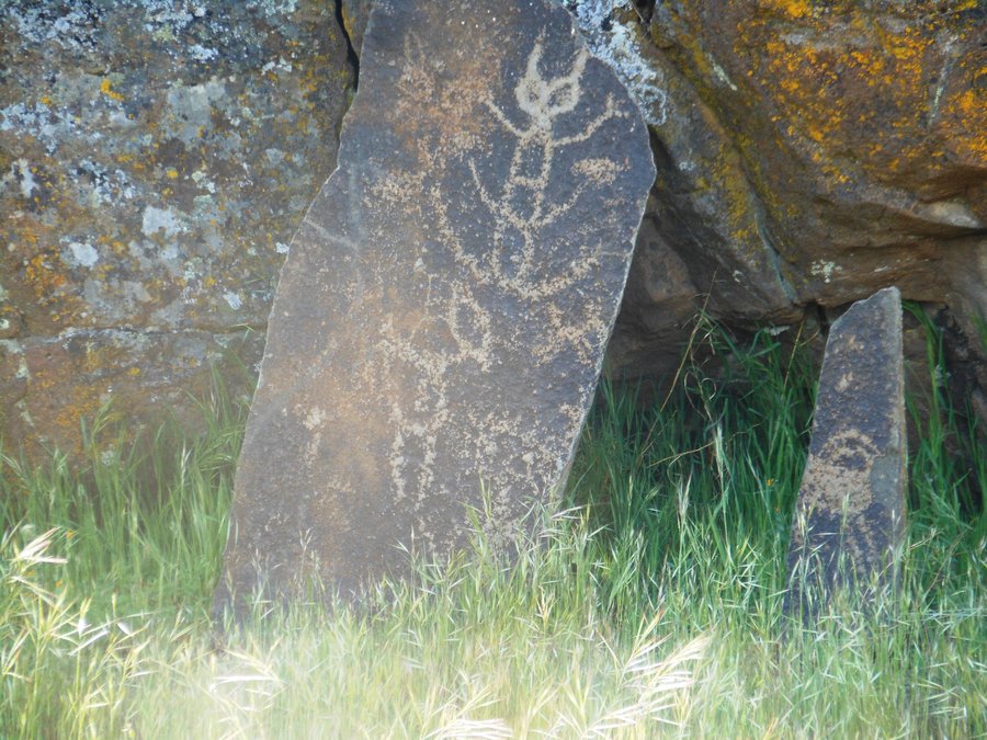
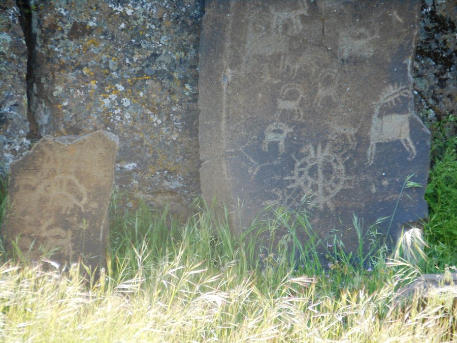
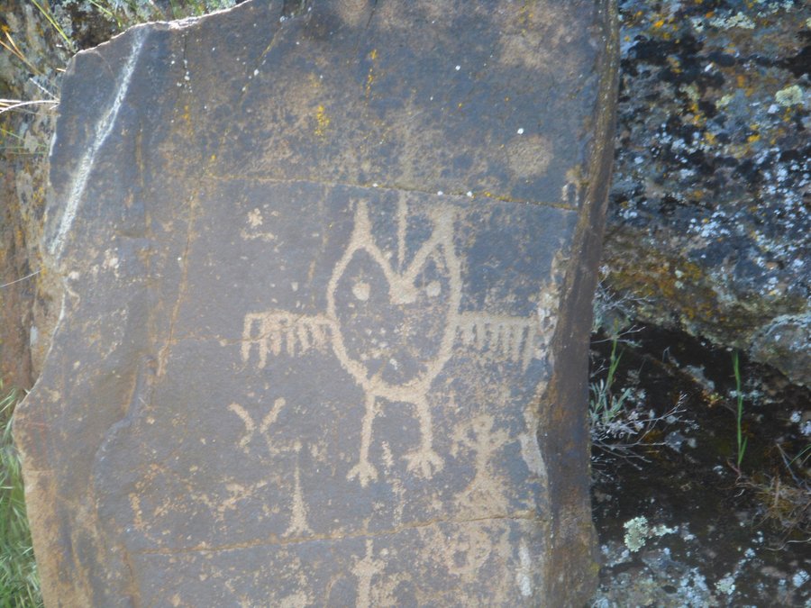
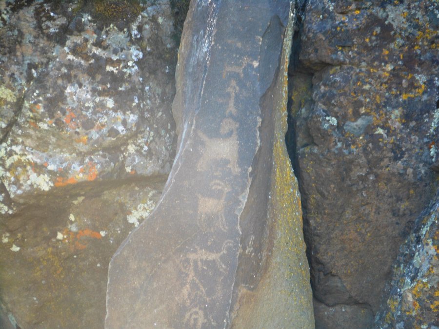
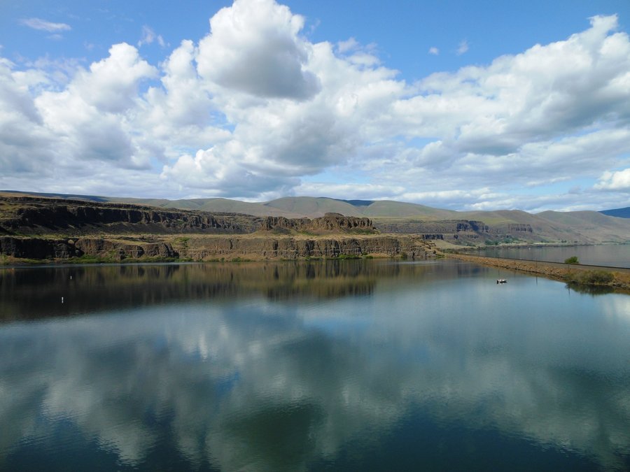
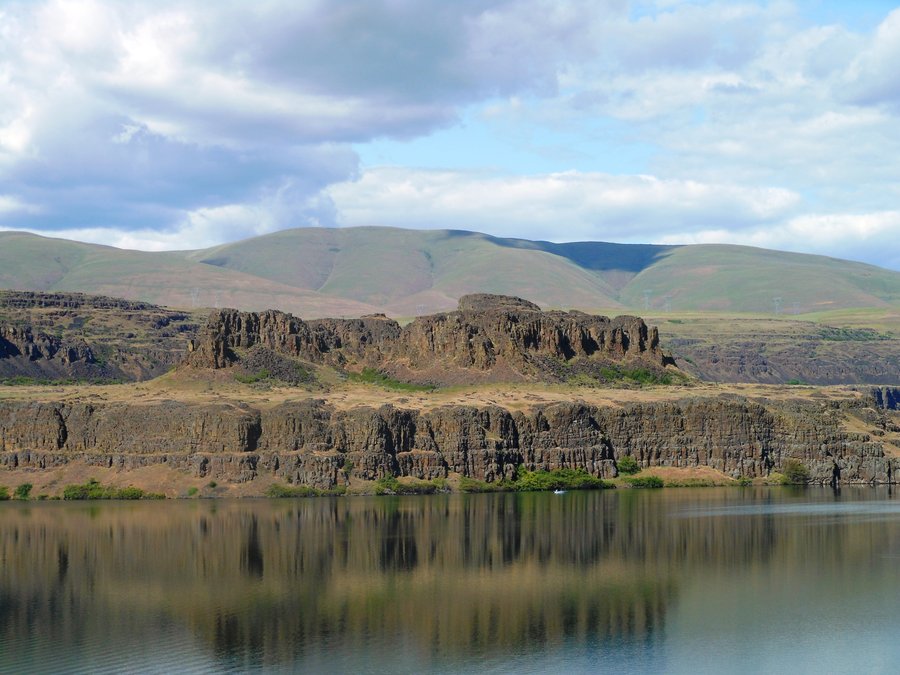
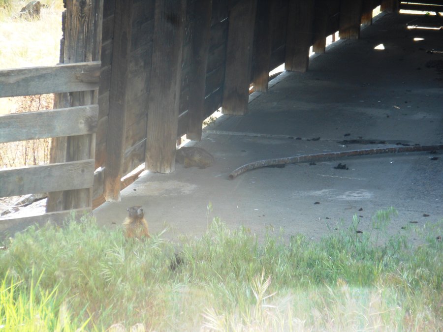
Horse-thief Butte
2 miles of hiking • 0' elevation gain •
Great place to go exploring, and don't miss the drive across the lake to see the Petroglyphs... also stopped by Dalles Mountain Ranch and met with some Marmots.
May 11, 2014

Oaks Bottom Loop
5 miles of hiking • 250' elevation gain •
Nice walk around the wetlands. Saw a hawk catch a small rodent and and watched a big duck family with 13 babies.
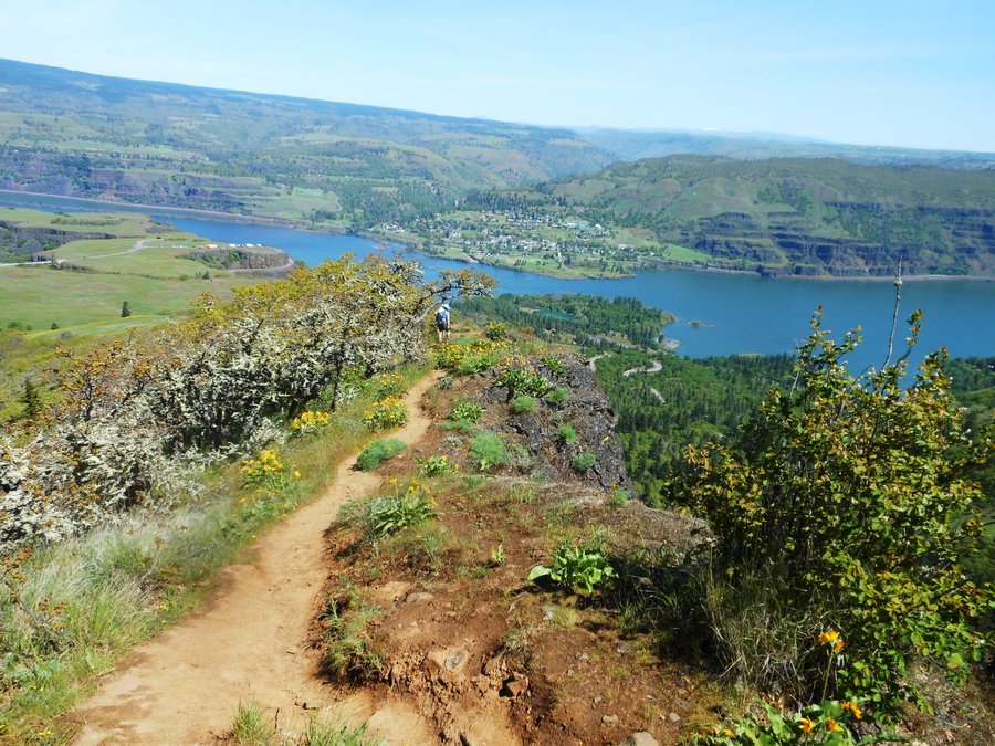
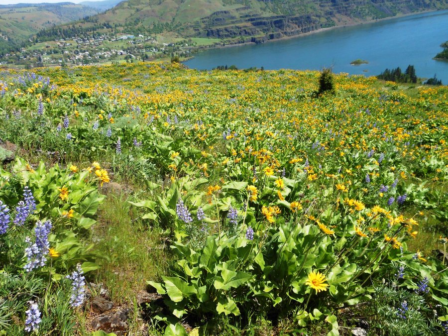
May 8, 2014

McCall Point
3.5 miles of hiking • 1000' elevation gain •
What a great day! 85 degrees and lots of views, since we were just over at Catherine Creek last week it's cool to see it from this side. The Lupine, Paintbrush and Balsam Root are EVERYWHERE. Good ROI for the distance...
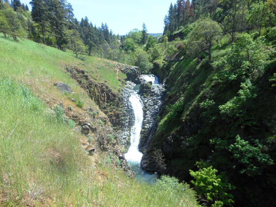
April 29, 2014

Mosier Plateau
3 miles of hiking • 500' elevation gain •
I liked this better than McCall Point. Very nice waterfall and a gradual climb up above Mosier. Complete solitude today, and of course wildflowers all over the place. We took the gravel road down and followed the road back to town to make a loop. Any hike that ends with ice cream is a good hike...
April 29, 2014

Neahkahnie Mtn
3 miles of hiking • 1000' elevation gain •
Mid seventies at the beach, what could be better? This was not our favorite hike of the day...
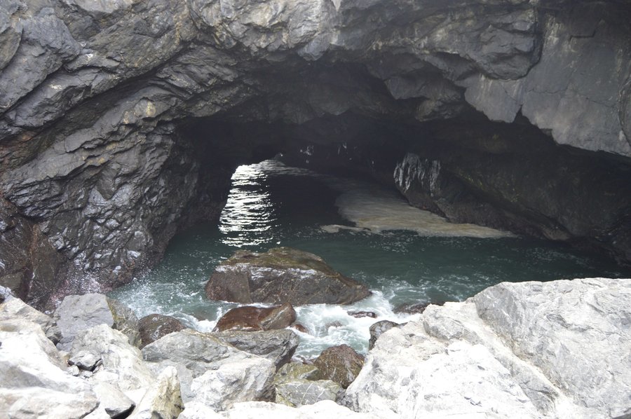
April 28, 2014

Devil's Cauldron, AMAZING place to walk down to
1 miles of hiking • 250' elevation gain •
Short walk down to a rock out cropping between two cliffs. Watching the water tear into the rock all around while birds fly by and a little waterfall drops to the ocean. Little do you know that the underneath side of the rock your on is all carved out as well. More people should do this it was so cool. The trail is almost invisible from the parking lot. Just start at the north Neahkahnie trailhead lot and go down and take a left.
April 28, 2014

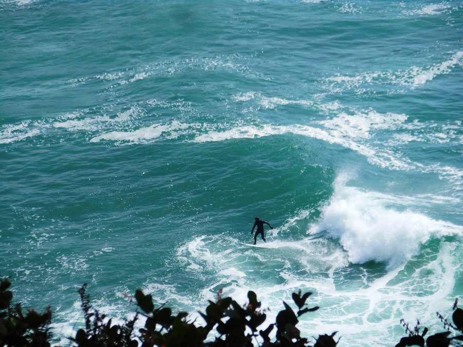
Cape Falcon
5 miles of hiking • 750' elevation gain •
Gorgeous weather, incredible huge old growth Spruce and gnarly Cedar, great views, suspension bridge, fording a small creek on the beach minimal mud, all good, except I was jealous of all the surfers.
April 28, 2014

Catherine Creek East Loop
6.5 miles of hiking • 1750' elevation gain •
A perfect second trip to Catherine Creek area. Climbed up Rowland Ridge all the way up to the upper trail and back down Catherine Creek. Watch out for the poison oak everywhere along the creek. We took the time to loop the Arch this time and also did the 1 mile paved loop across from the trailhead. Flowers everywhere and vultures and hawks followed us the whole time. Only crossed paths with 1 other couple the whole day... like I said, amazing.
April 24, 2014

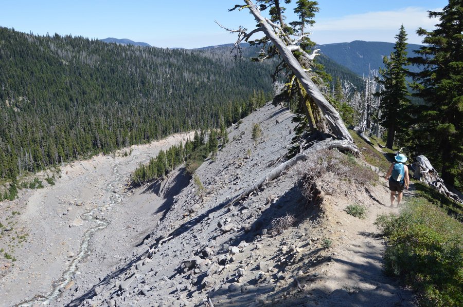
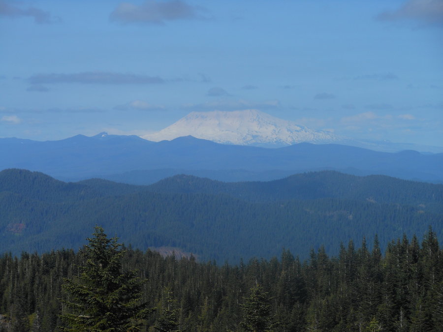
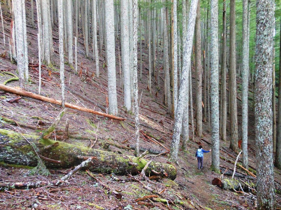
Boulder Ridge
10.5 miles of hiking • 3000' elevation gain •
A beautiful day on the trail all by ourselves. This hike is a relentless climb but the different vegetation and changing landscape as you climb keep it really interesting, I LOVE ridge hikes. And Hood was finally revealed on our way down, there is a really nice rock outcropping at about 4 miles in at 3500 ft that makes a great shorter turn around point.
April 17, 2014

High Desert Museum
2.5 miles of hiking • 0' elevation gain •
OK, also not really a hike but this is one of our favorite places to visit and learn. Current wild animal forensics exhibit is fascinating. More people should go here.
April 10, 2014

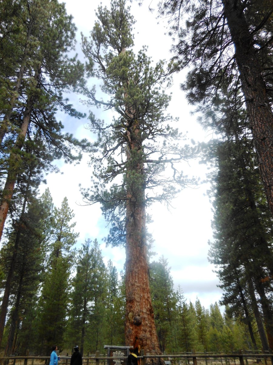
La Pine State Park Exploration
2 miles of hiking • 250' elevation gain •
Miles available along the Deshutes River, the largest Ponderosa Pine in Oregon, McGregor Memorial Viewpoint... too many miles to just walk around this would be best served by a mountain bike trip, and it connects to Falls Creek Trails as well.
April 9, 2014

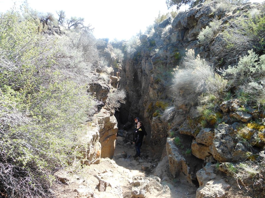
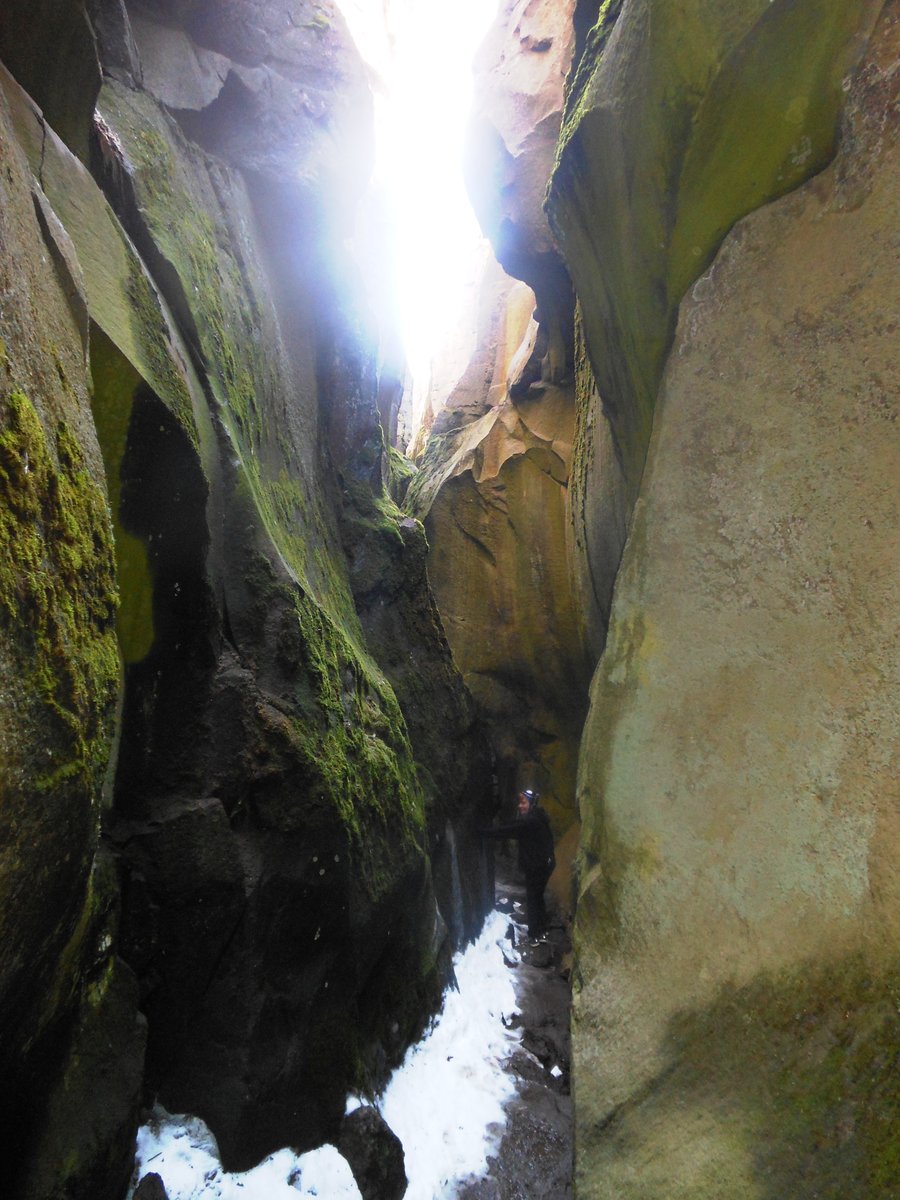
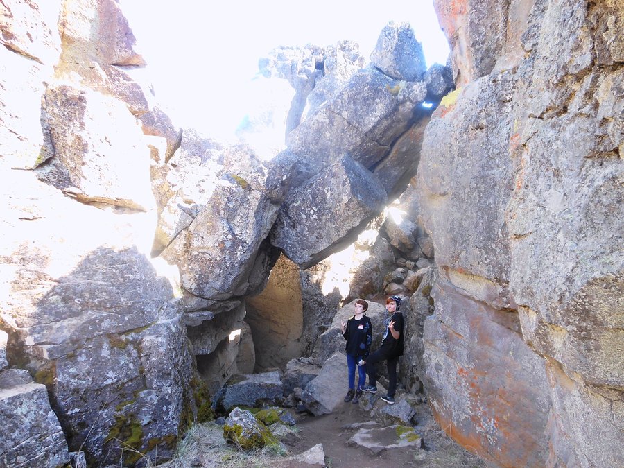
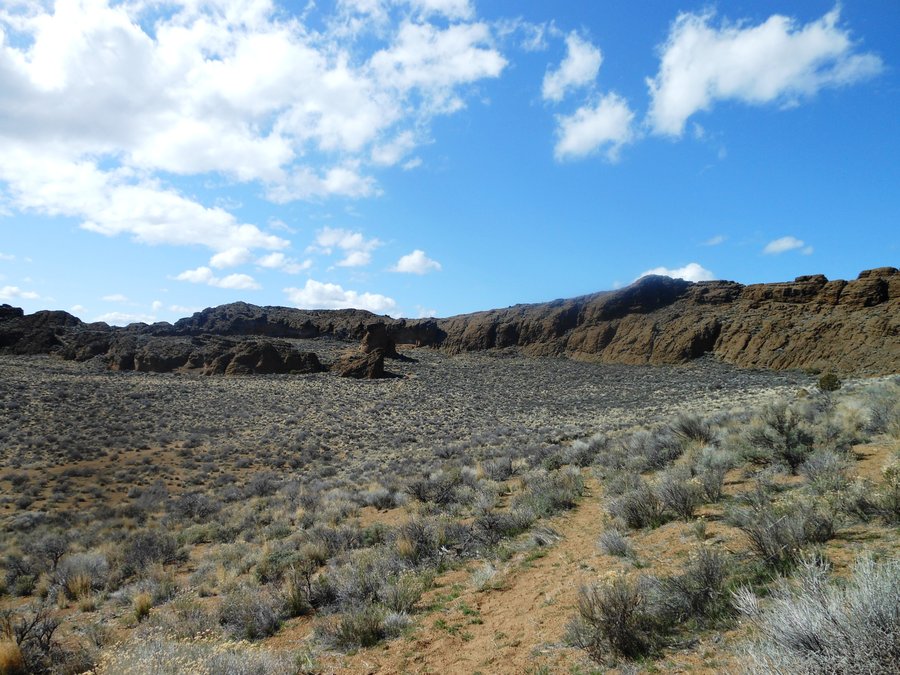
Crack in the Ground
1.5 miles of hiking • 250' elevation gain •
Not a dog friendly hike. But incredible and I could have spent MUCH more time here. Bats in the walls, hot and desert on top cold and snow in the deep parts, this was one of the strangest things I have ever seen. A helluva long drive to get there.
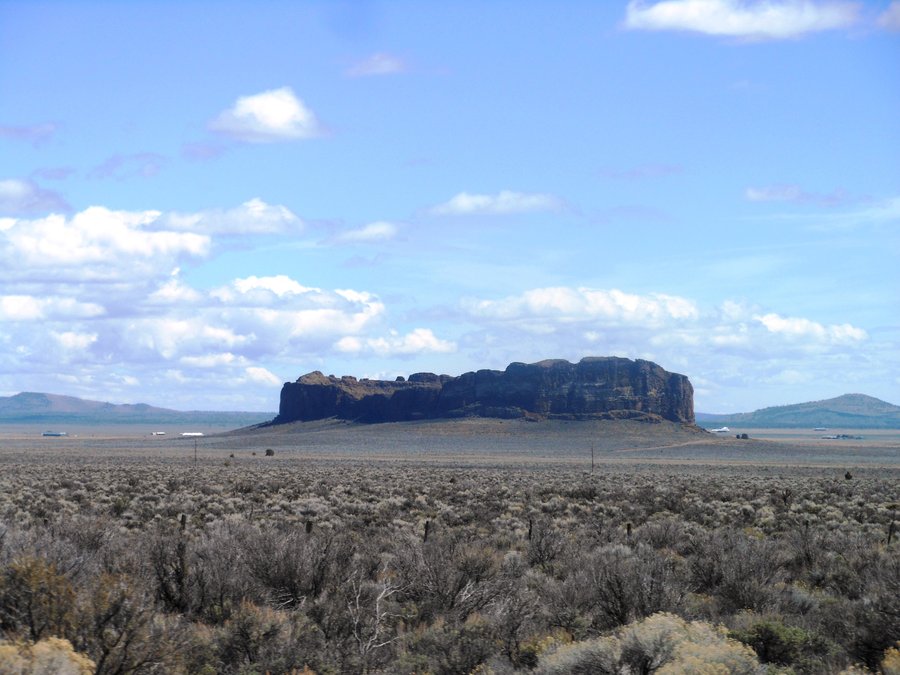
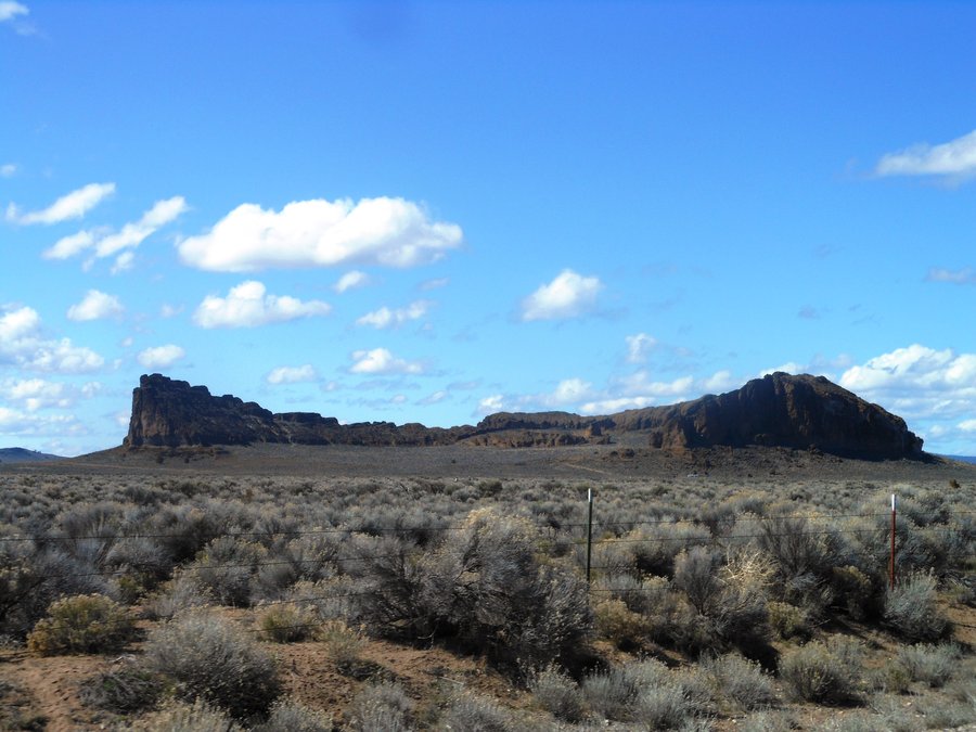
April 9, 2014

Fort Rock
1.5 miles of hiking • 250' elevation gain •
Everyone stayed in the car and I walked around this awe inspiring edifice completely alone for an hour. One of the coolest experiences I've had.
April 9, 2014

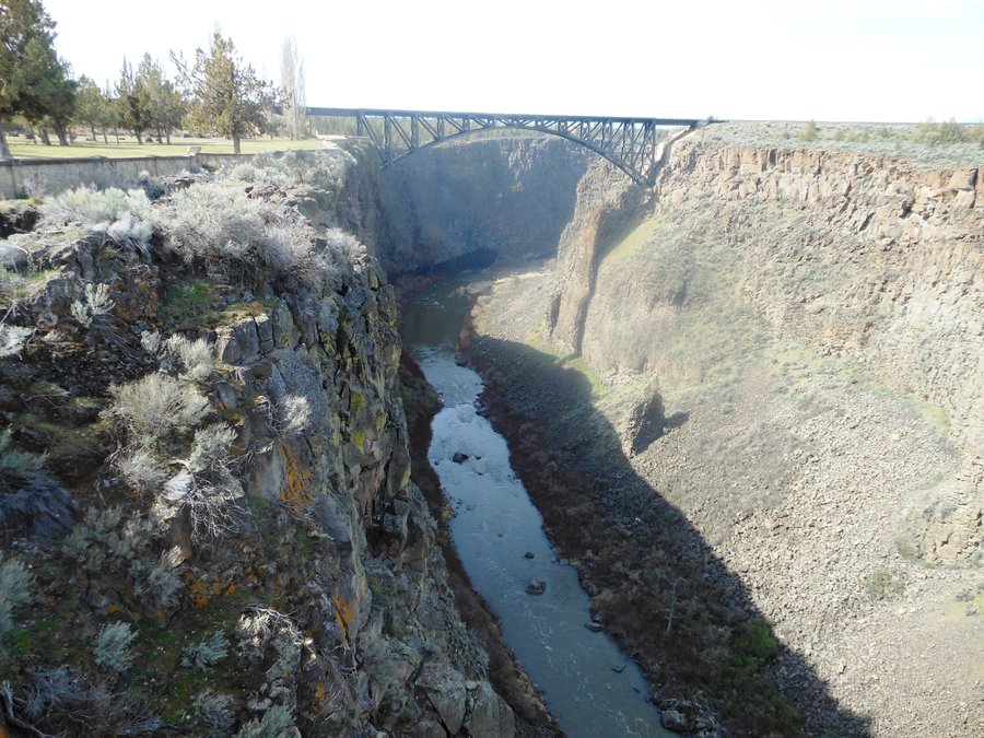
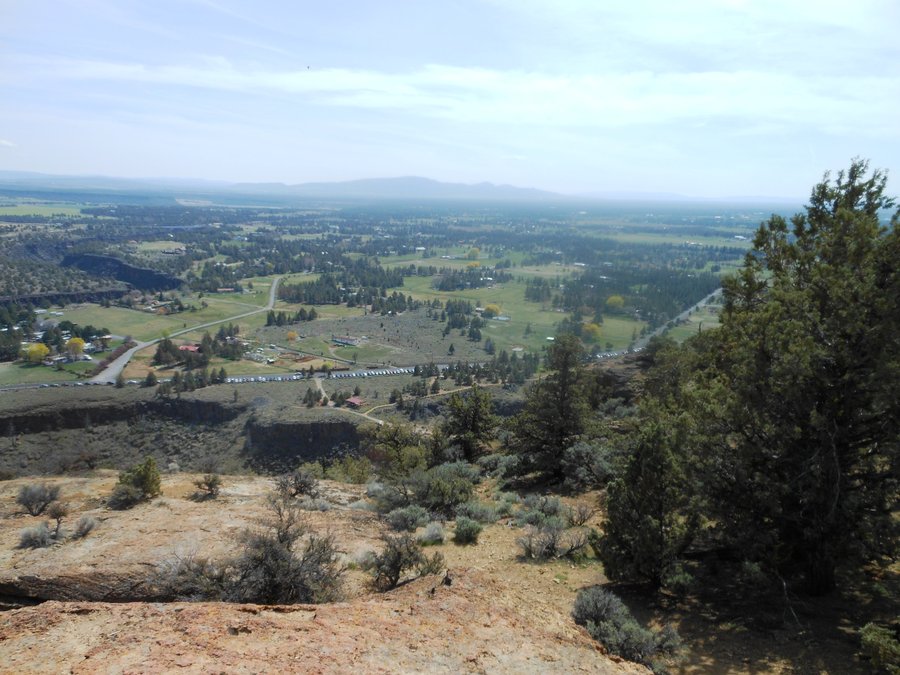
Peter Skene Ogden State Scenic Overlook
1 miles of hiking • 0' elevation gain •
OK, not really a hike but an awesome stop on the way to Smith Rock. Amazing 350 ft deep canyon, well worth the stop.
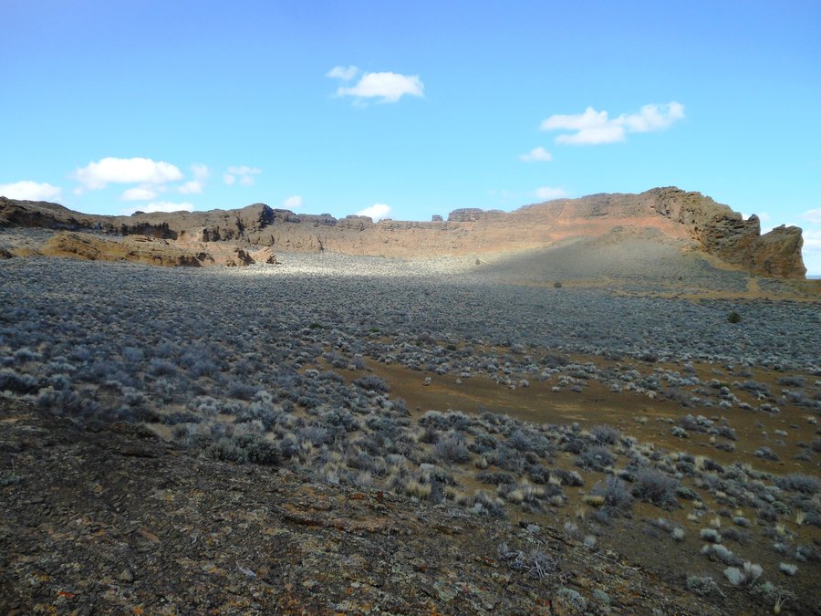
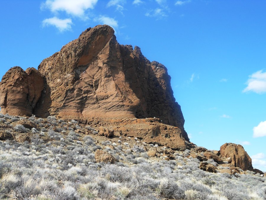
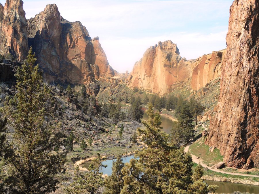
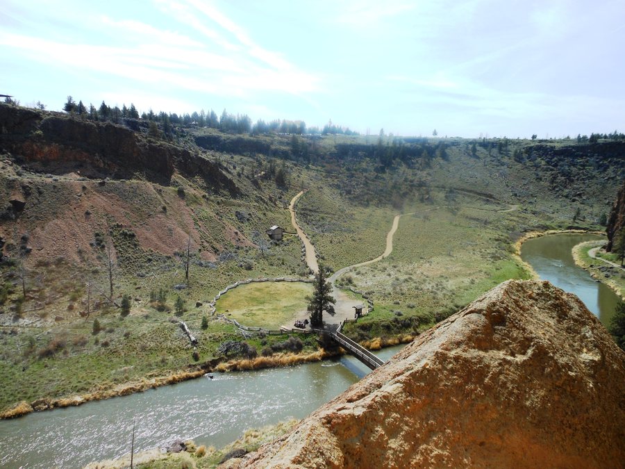
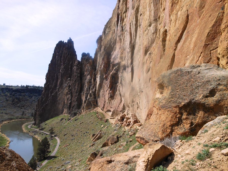
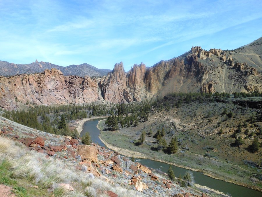
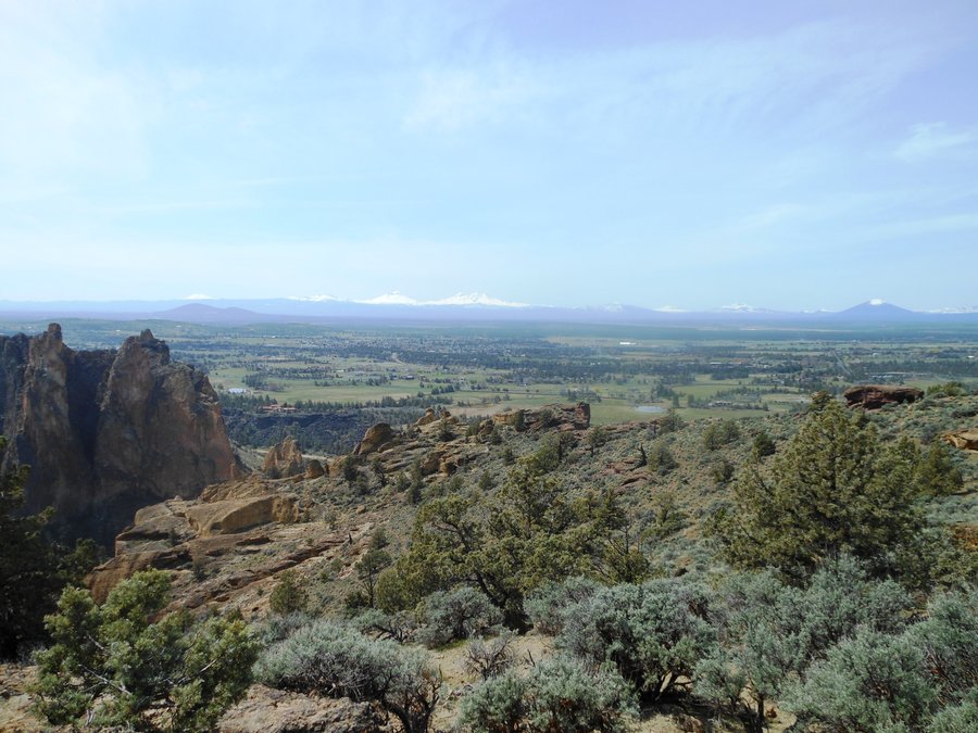
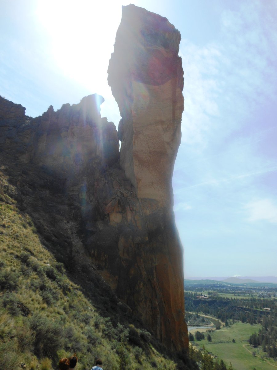
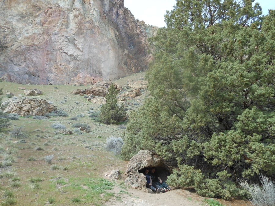
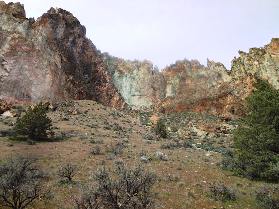
April 8, 2014

Smith Rock Misery Ridge
4.5 miles of hiking • 1000' elevation gain •
Hard for this place not to be beautiful, so it was. We took two 14yo girls and 2 Basett hounds over Misery ridge and back around the loop. Crazy? Maybe... Everyone loved it but the dogs are still recovering... at LaPine State Park we even met the man who headed up the crew that built the trail. Thee will be much more exploring here without the additional travelers. Love this place...
April 8, 2014

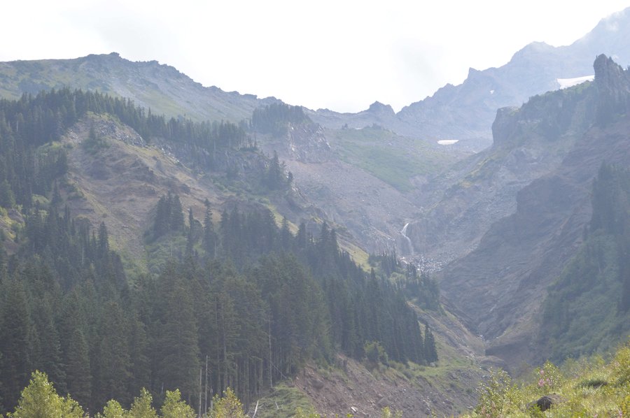
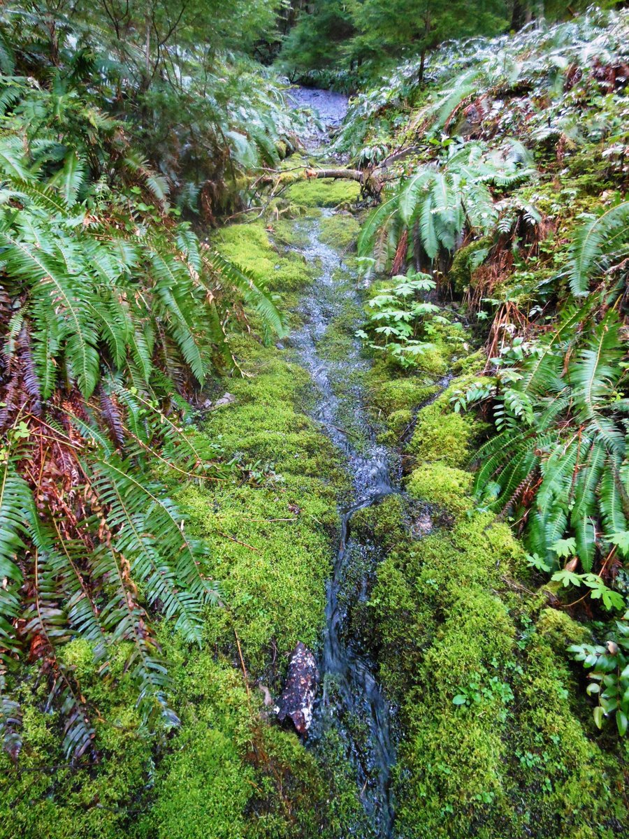
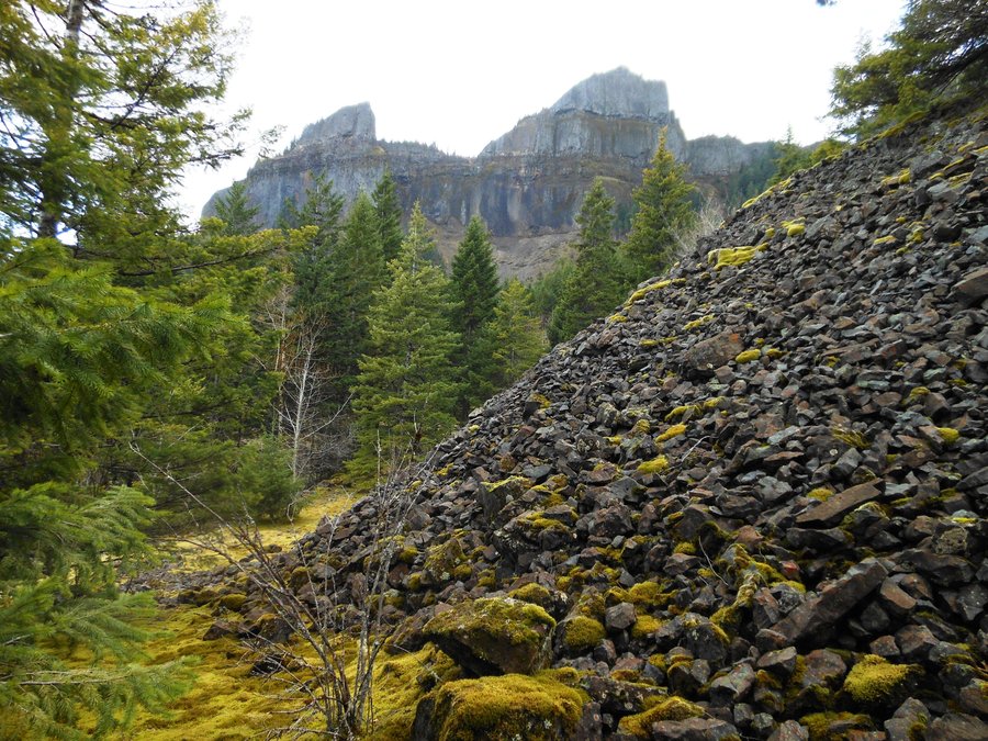
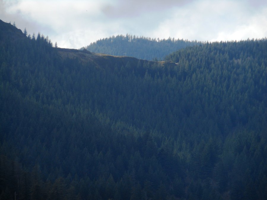
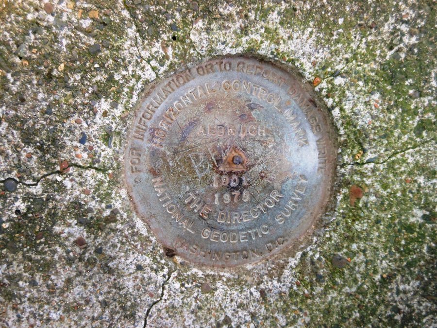
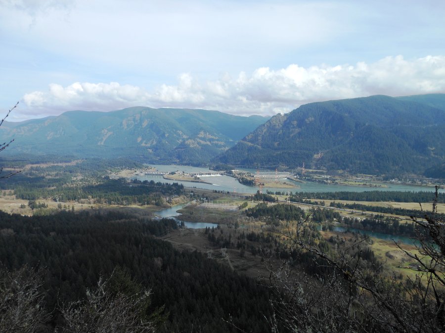
Greenleaf Falls Aldrich Butte
11 miles of hiking • 2500' elevation gain •
Sometimes its not climbing something that gives you the best view, it is looking at it from the right perspective. This hike up to the canyon below the cliffs of Table Mountain is underrated. The trail is gentle and scenic once you get up the OHV path and the visible layers in the remnants of Table Mountain are no less than geology porn.
Aldrich Butte is a steep little jaunt that offers fantastic views of the Hamilton Saddle, Munra Point, Wauna Point and everything in between. The left over structures at the top are pretty interesting as well.
Up the gravel roads and up to Carpenter Lake. Then up the Greenleaf trail along the west side of the Froggy Marsh posing as a lake, the cacophony of frogs was amazing. Our break below the cliffs of Table Mountain is just too hard to describe, it must be seen. After a brief trip up to see the section of Greenleaf Falls that crosses the trail we headed back down to tag Aldrich Butte. The climb up was steep and rocky but the view was awesome. Then we used the unnamed shortcut trail that starts on the south side of Carpenter "Frog" Lake ad headed back down to the greenhouse above Bonneville Hot Springs.
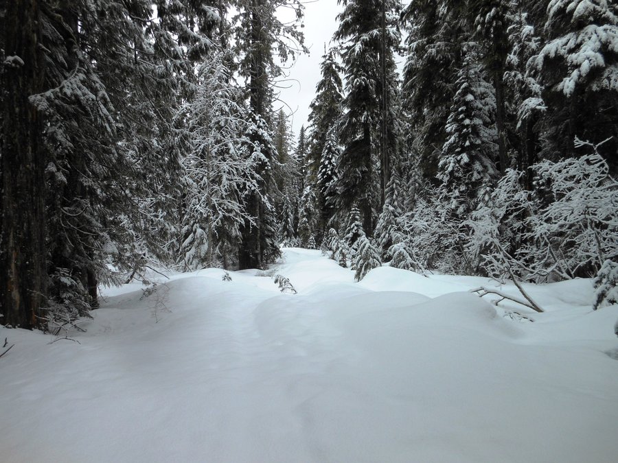
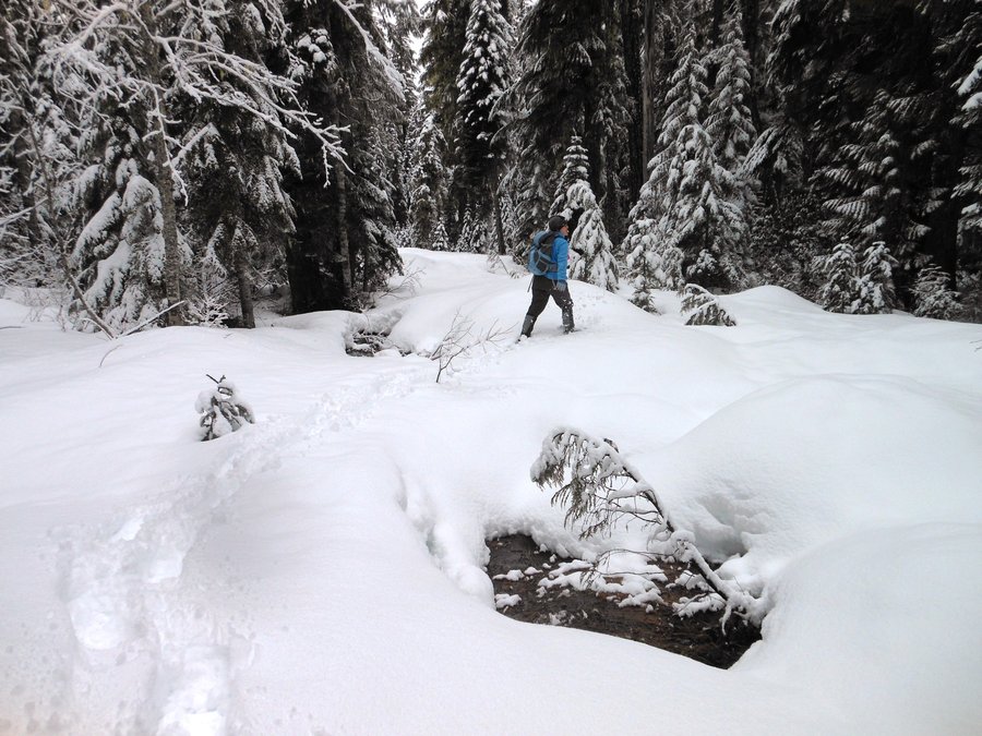
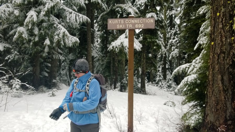
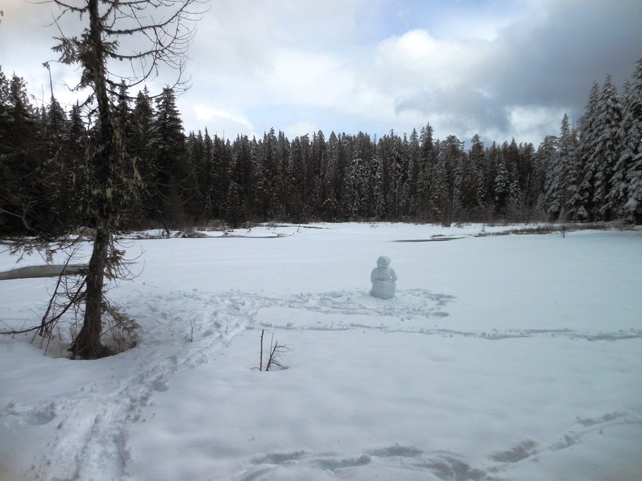
April 2, 2014

Enid Lake Loop
3.5 miles of hiking • 500' elevation gain •
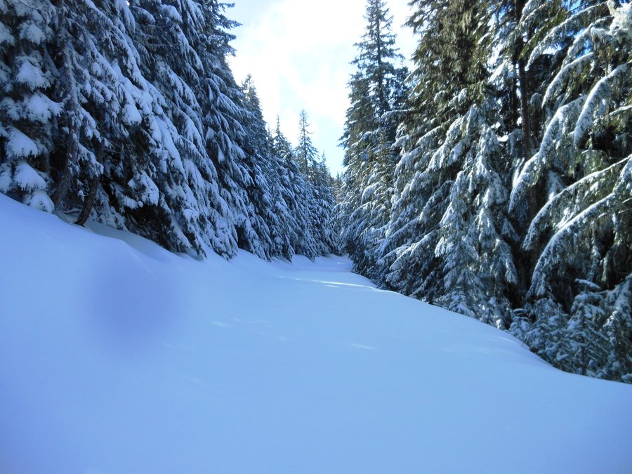
I like snowshoeing more when we're breaking trail. Kurt's Connection to Glacier View and Back up Pioneer Bridal was all just us and the tracks were almost gone from the recent snows (nice), after we hit Enid Lake Loop it was just following the channel... but we only saw a few people out today so it was nice. Spent 20 minutes by ourselves at the lake and made a silly snowman. Another near perfect day.
March 29, 2014

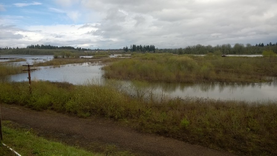
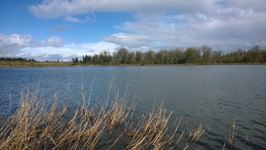
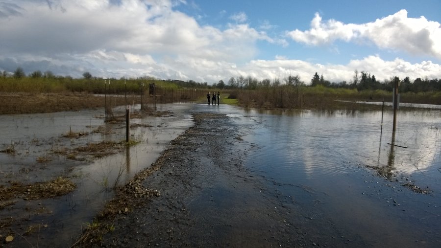
Jackson Bottom Wetlands
3 miles of hiking • 0' elevation gain •
Tired of being trapped by the deluge we found a hole in the storms and ran to Hillsboro for a quick look around the wetlands. Some trails are still a little flooded but lots of wildlife out enjoying the sun with us.
March 28, 2014

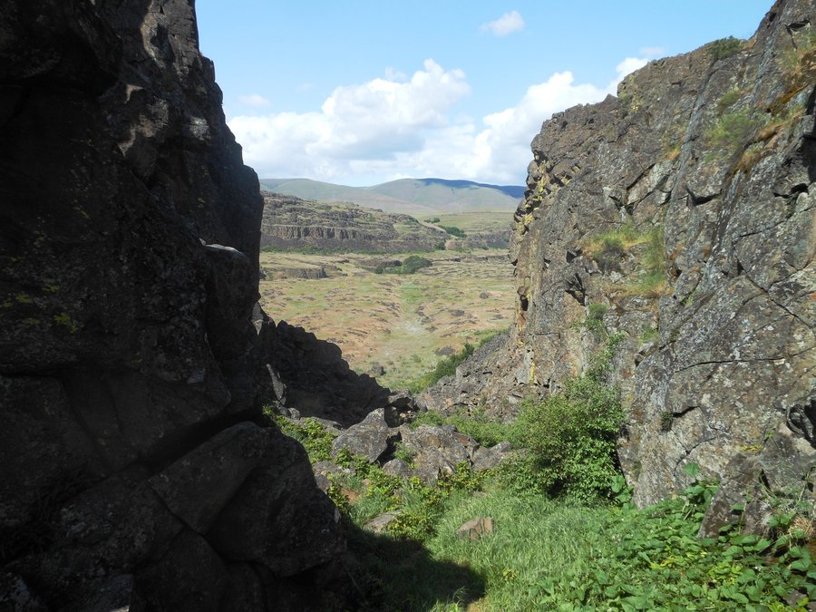
Catherine Creek Coyote Wall Loop
10.5 miles of hiking • 2750' elevation gain •
What a great first trip to this amazing area! So many different kinds of trails and environments all in one hike and still more to go see that we didn't get to. The rock arch, flocks of Stellar Jays, water cascades like they were built by Disney, cliffs everywhere... Second favorite hike ever.
March 23, 2014

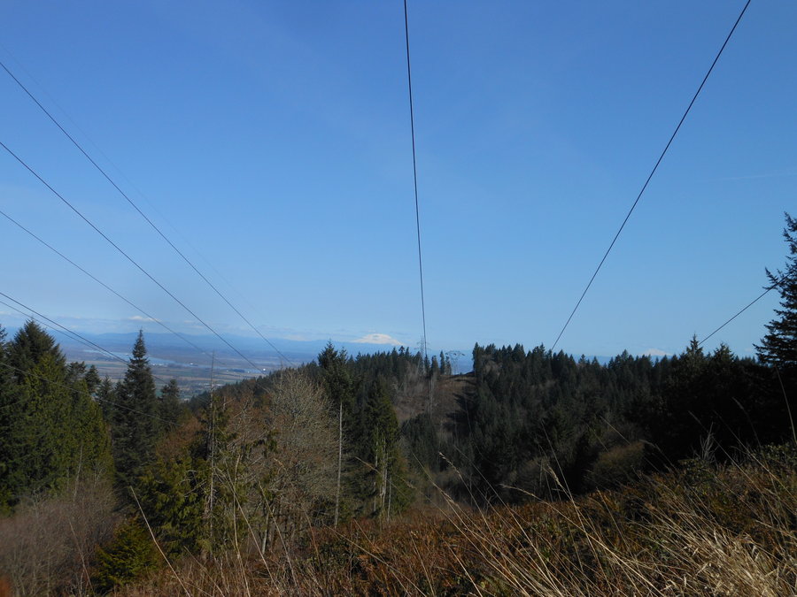
Forest Park loop from Fire Lane 15
7 miles of hiking • 1750' elevation gain •
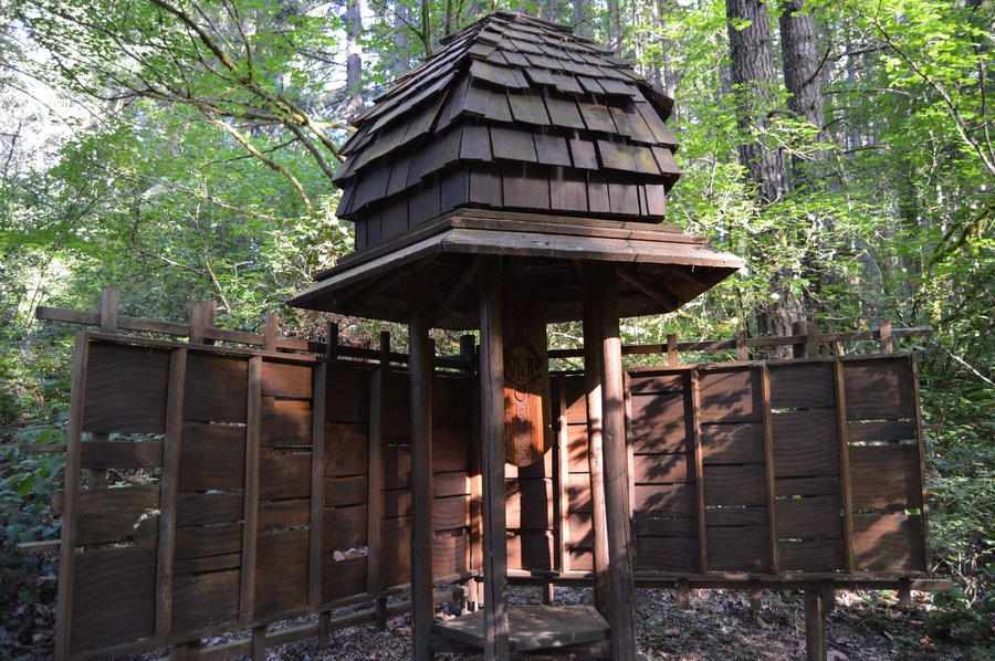
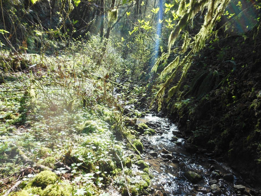
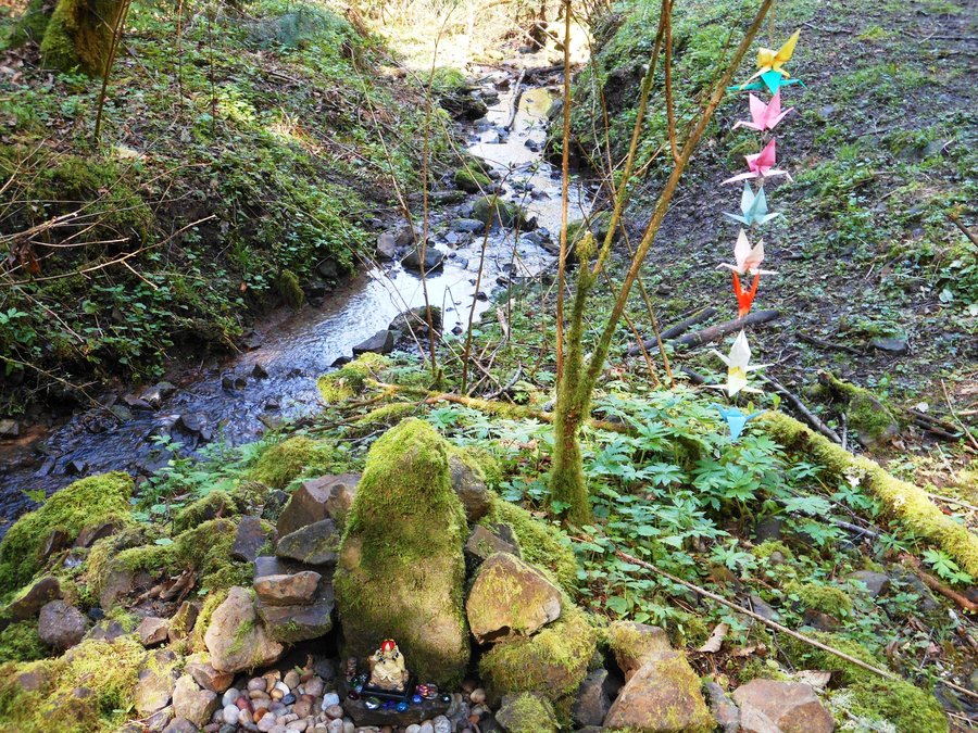
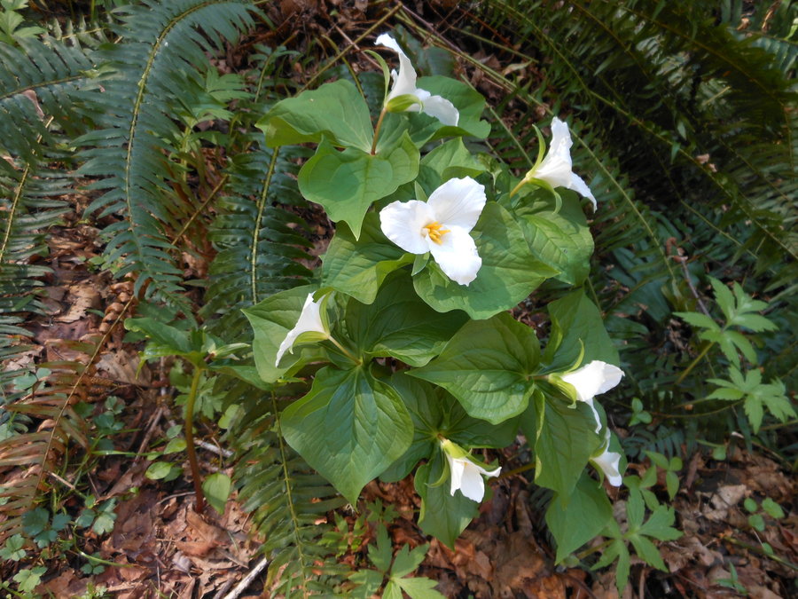
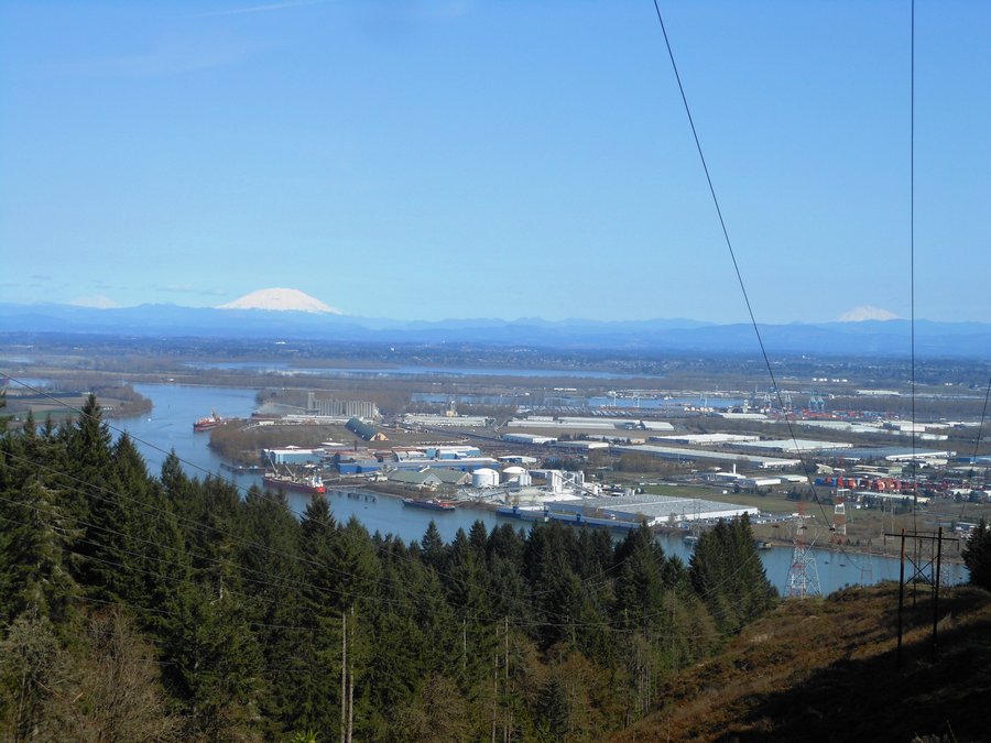
OK, now THIS is our favorite Forest Park hike. Amazing views (if you can forgive the power lines) of all three snowy peaks to the north as well as expansive views of the Columbia. Nice trail, fewer people and lots of open sunny trails. Not to mention the secret creek shrine, leave a pretty river pebble. Firelane 15 up and down to Firelane 12 right to Firelane 13 left to overlook, back to BPA road and steep down down down to Newton road right back up to Wildwood right to BPA road left and back to Skyline. Then a short road trek back to the car.
If it wasn't for the power lines the trail and views would not be there.... the gorgeous day didn't hurt either.
March 22, 2014
Forest Park Ridge Trail loop
4.5 miles of hiking • 1250' elevation gain •
Great loop in Portland's big back yard up my favorite ascent. Not much time today so we went local, Ridge from the bottom to the top with lovely views of St John's Bridge, up Firelane 7 down Springville back across connector to Firelane 7, down to Firelane 7A and a short walk back up the street. This descent was exciting and one of the steepest I've seen in Forest Park, 7A gets veery little traffic
March 19, 2014

Buzzard Point / Wagon Route Loop Snowshoe
3.5 miles of hiking • 500' elevation gain •
Great exhausting short hike breaking fresh tracks the whole way. Even with snowshoes we were 12" deep most of the time. Pioneer Women's Grave was interesting and the views were spectacular. We just found our own way up sort of following the original wagon route back to Barlow Pass. Another great day on Hood!
March 17, 2014

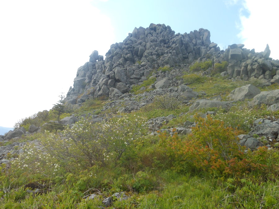
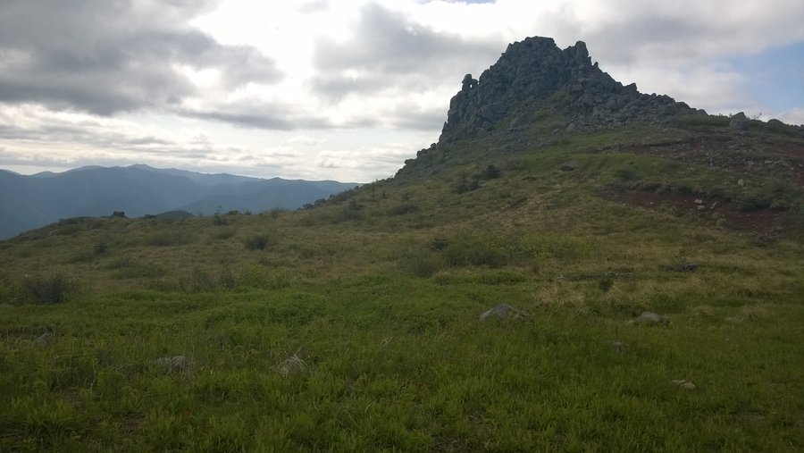
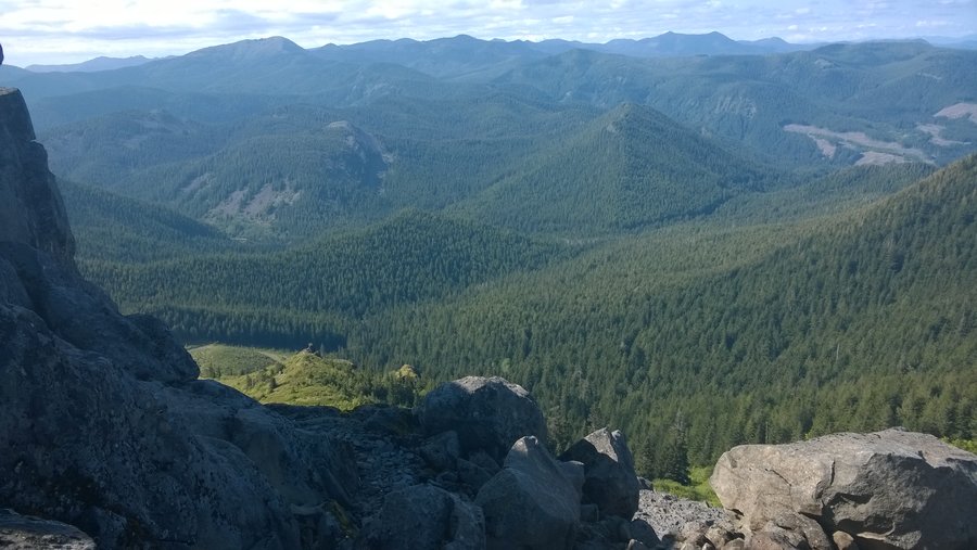
Silver Star, Grouse Vista Loop
8.5 miles of hiking • 2250' elevation gain •
We did this one clockwise.... much better done counter clockwise. The viewless climb UP Sturgeon Rock trail was a chore. Beautiful day though and didn't see anybody on the trail.
March 12, 2014

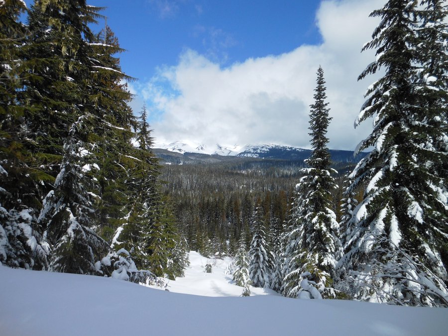
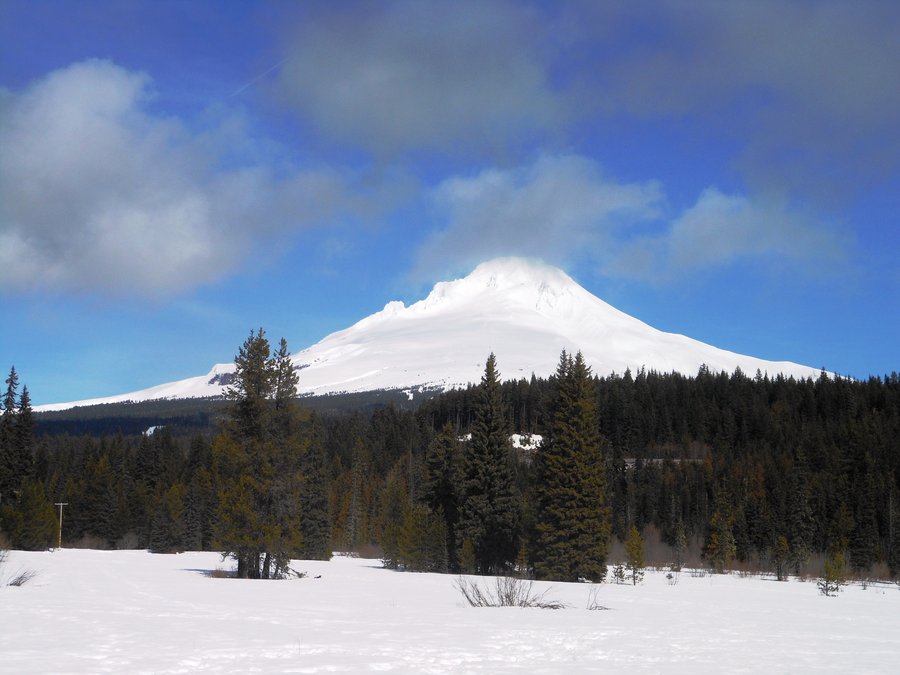
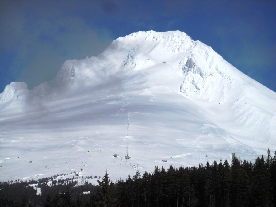
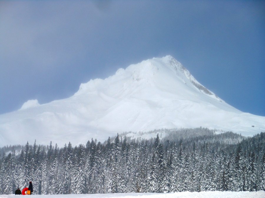
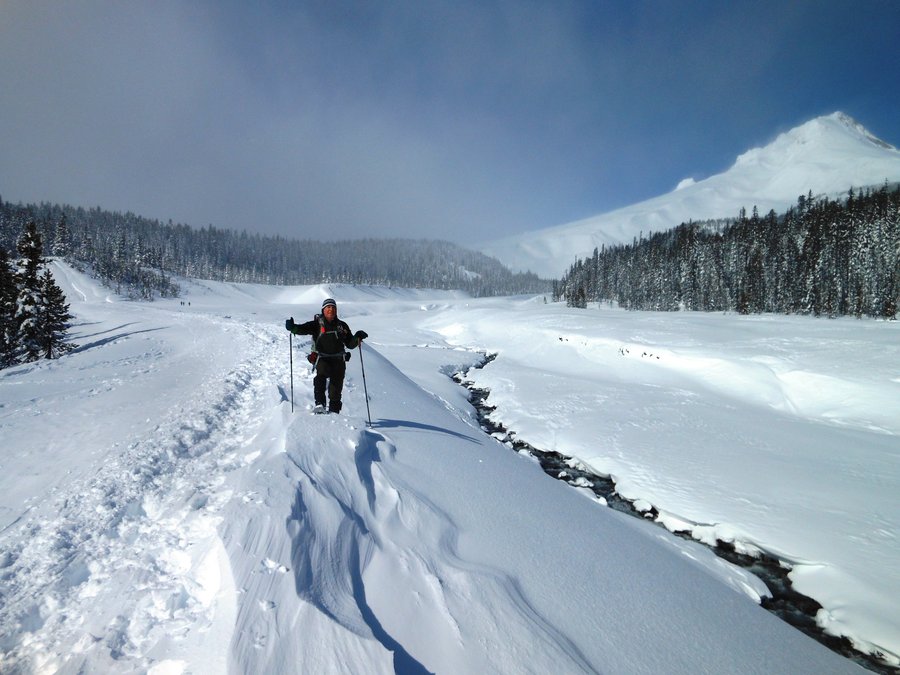
Ski Bowl East to Summit Meadow Snowshoe
5 miles of hiking • 500' elevation gain •
Great snowshoe and only saw 1 person on the trail. You can continue to Trillium lake but we ran out of time, great back way to the lake.
March 6, 2014


Bells Mountain from Cold Creek Campground
9 miles of hiking • 1250' elevation gain •
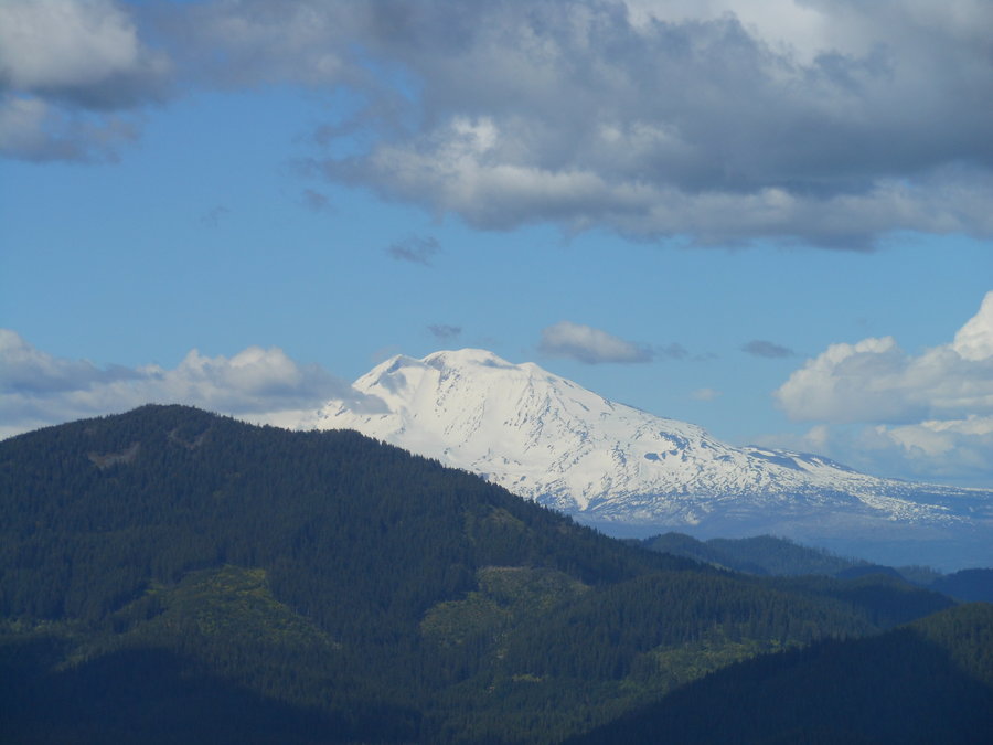
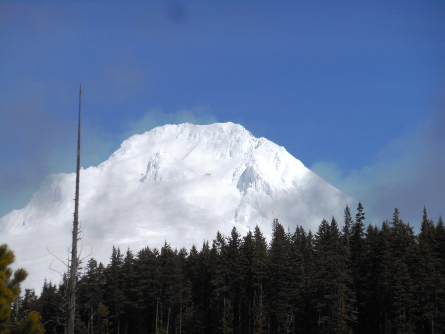
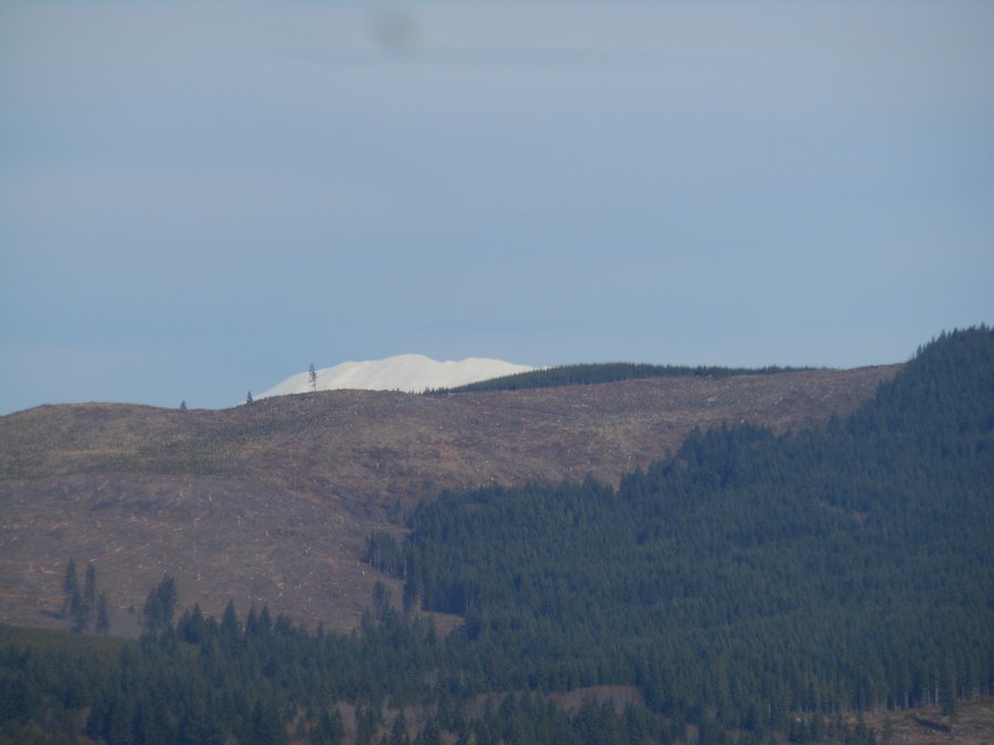
Our favorite way to do this trail. The hike north along Cedar Creek is absolutely beautiful, the clear cuts provide nice views and good raptor hunting grounds and the temp was around 50 and sunny. Great day... saw the top of St Helens and a bald eagle flew right over us.
February 25, 2014

Storey Burn Loop
8.5 miles of hiking • 1750' elevation gain •
Very nice loop with LOTS of water crossings and beautiful weather. Except for one mountain biker going the other way we didn't see anyone all day. If you do this from Summit trailhead and go clockwise be prepared for a steep climb at the end.
February 22, 2014

Buzzard Point Trail
1.5 miles of hiking • 0' elevation gain •
Quick trek to try out new snowshoes in deep powder
February 20, 2014

White River Blowing Ice
1 miles of hiking • 250' elevation gain •
Headed a ways up White River Canyon but got turned around by the wind blowing ice daggers down the canyon.
February 20, 2014

Twin Lakes Short Hike
2.5 miles of hiking • 250' elevation gain •
Just a quick one, didn't make it to the lakes before we ran out of time. We'll be back...
February 20, 2014

Coffenbury Lake
3.5 miles of hiking • 250' elevation gain •
This is a hike that can be expanded in all directions or you can just do the 2 mile circle of the lake. It is gorgeous at sunset and the lake does a wonderful job of reflecting everything around it. We connected over to Burma Rd tolink back but you could really spend a day on these trails.
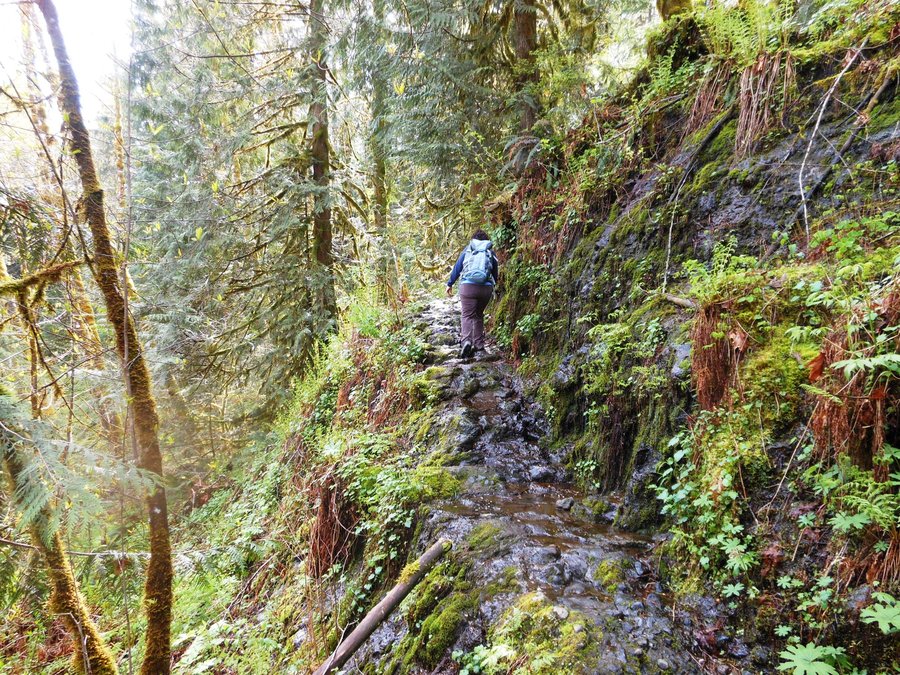
February 2, 2014

Upper Gnat Creek, short hike
2 miles of hiking • 250' elevation gain •
Exploration into a hike we want to complete in summer... not enough time today. Nice climb along a scenic creek through replant and older second growth forest.
February 2, 2014

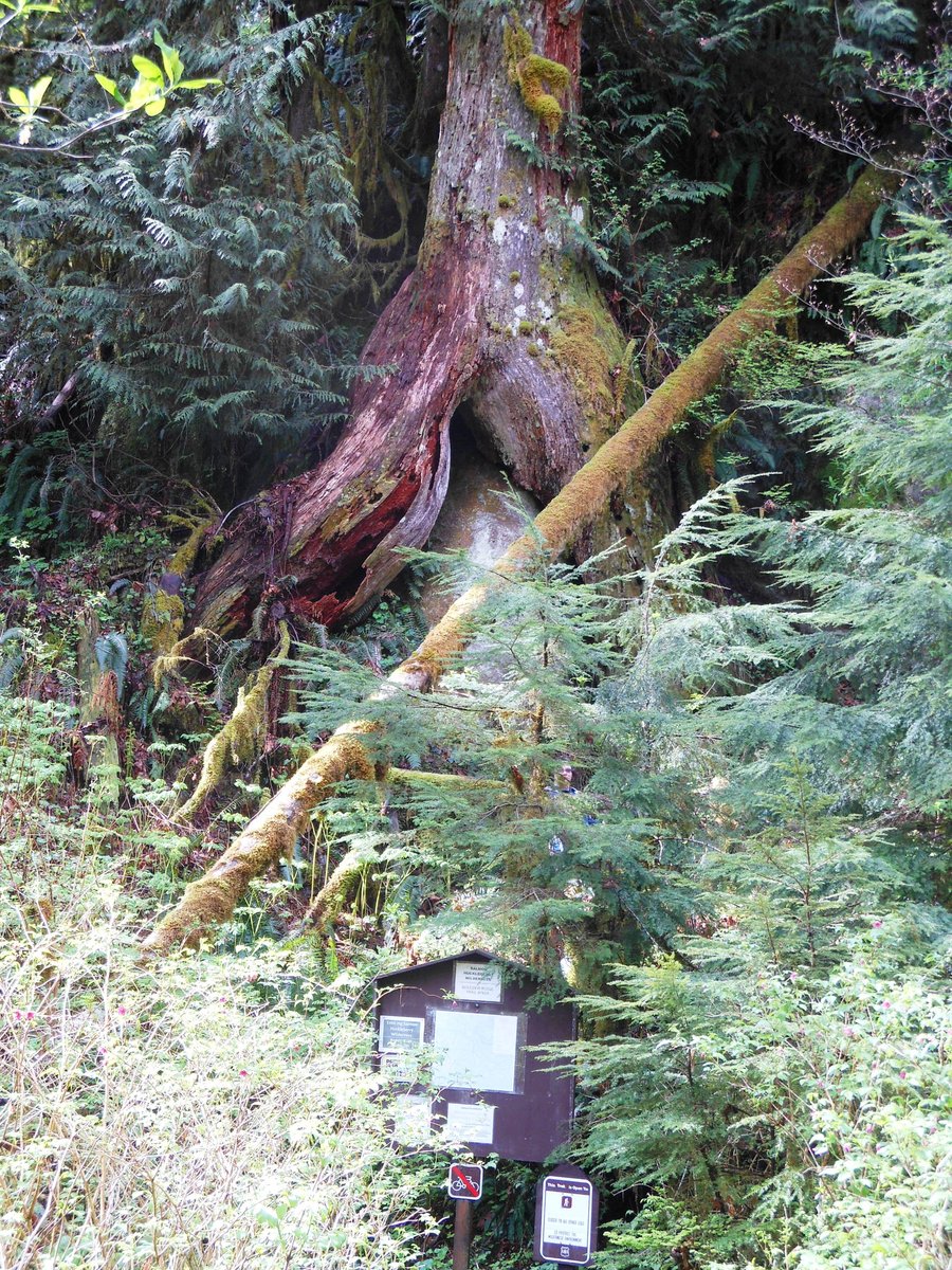
Cathedral tree to Astoria Column
2.5 miles of hiking • 500' elevation gain •
This was a VERY pleasant surprise, lots of old trees and very interesting terrain. The column was fun and adds another 125 feet to the elevation gain.
February 1, 2014

Astoria Riverwalk
7 miles of hiking • 0' elevation gain •
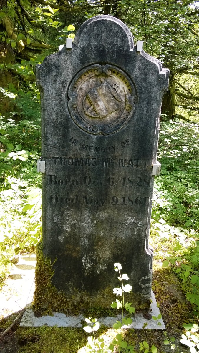
Following the route of the Astoria and Columbia River Railway this is another history lesson for your feet. Where did the Indian revolution begin and in what unlikely building? What is the largest truss bridge in the world? What is the oldest US settlement west of the Rockies? ...add many stops for good local food and brews and yo have a perfect city-hike.
February 1, 2014

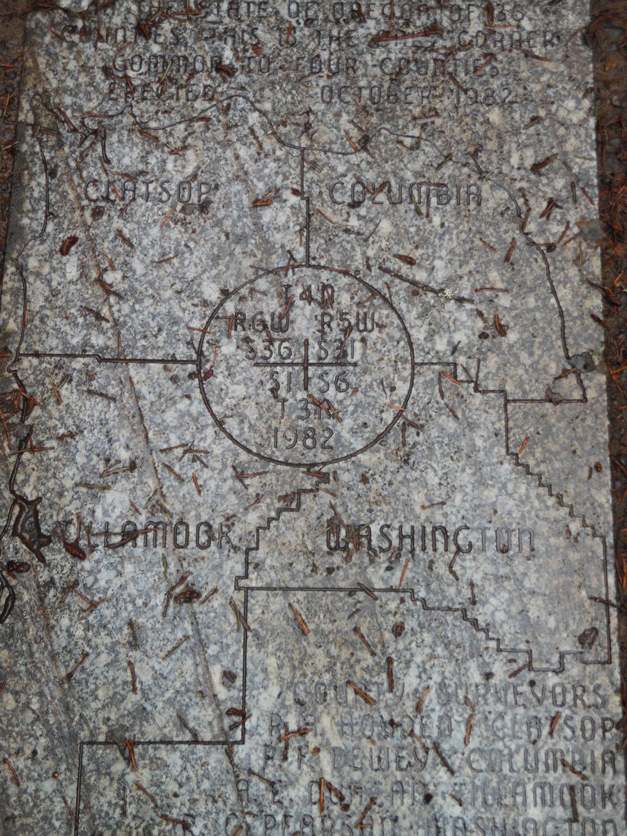
Four County Point Trail
2 miles of hiking • 250' elevation gain •
Short hike with low elevation gain to a very nice marble marker, stand in four counties at the same time. Did it...
January 31, 2014

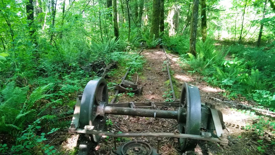
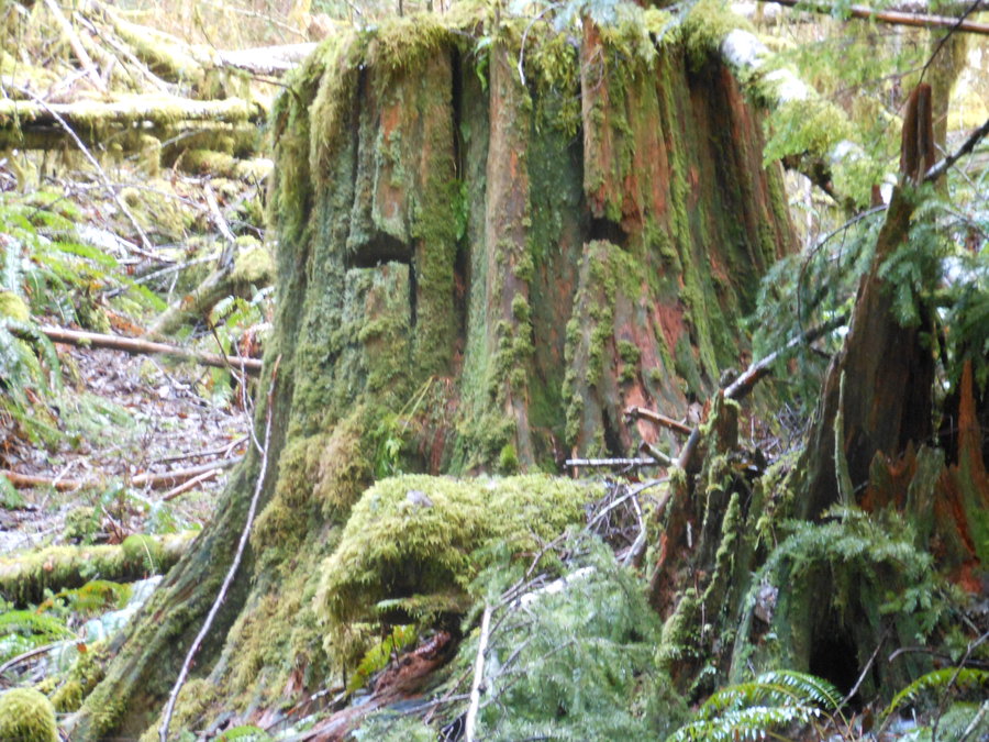
Steam Donkey Trail
1 miles of hiking • 250' elevation gain •
Leaving from the Sunset rest area this short trail climbs a bit up the hill in two connected loops and teaches some local history. Lots of nice old growth stumps... I like them better as trees.
January 31, 2014

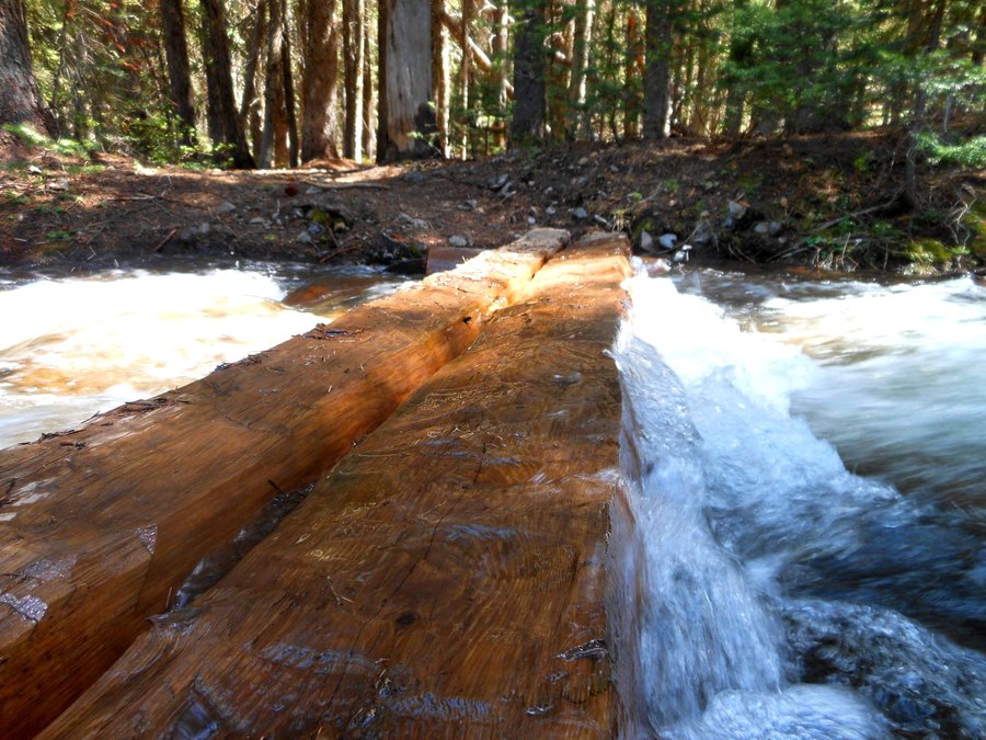
Bloom Lake
3 miles of hiking • 500' elevation gain •
About 600 ft up the trail is this very pretty secluded lake with an awesome log bridge across the water outlet. Nice banks for having a break or sitting in the sun. It would be beautiful in summer, but for us it rained and hailed and was generally more challenging. Want to explore the main trail more as it goes much further.
January 31, 2014

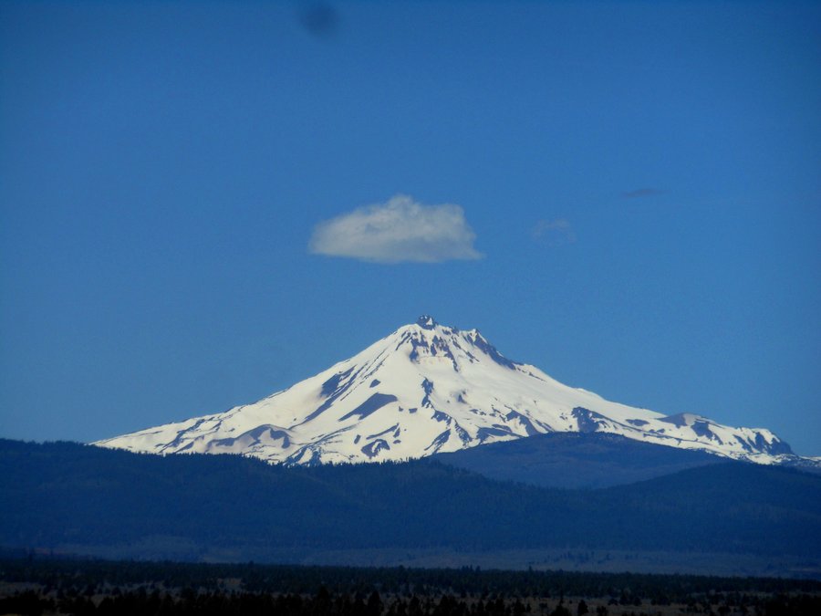
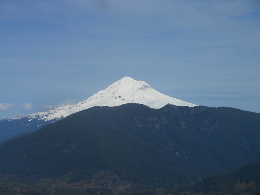
Mt Hood, Tilly Jane / Pollalie Canyon Loop
6 miles of hiking • 2000' elevation gain •
An excellent hike up Tilly Jane ski trail to the Tilly Jane A-Frame hut and Amphitheater, up along the Timberline trail to the Polallie canyon trail and back down to Cooper Spur ski resort. The hike along Polallie canyon is particularly beautiful and the waterfall can be seen from the top of the ski runs looking back up the canyon. A tiring but excellent wilderness hike. If you add a short 1 mile out and back from the top you can go swee the historic Cloud Cap Inn.
January 26, 2014

Parks, OR Oxbow Regional Park
9 miles of hiking • 1000' elevation gain •
This was another excellent Park exploration hike. Saw multiple species of squirrels, Woodpeckers, Deer, and Kinglets. Beautiful hike around the meadow and along the river.
January 22, 2014

Parks, OR Milo McIver State Park
9 miles of hiking • 1500' elevation gain •
Amazing undulating Park hike and could have been extended to 14 miles if we had the time. Nice traverse between different sides of the park and the bat barn was cool protecting a rare bat species. Wide open and lots of views.
January 15, 2014

Parks, OR Tryon Creek State Natural Area
6 miles of hiking • 1500' elevation gain •
Very nice loop around well graded trails and nice bridges, an excellent history lesson along the way. Scenic canyon loop.
January 12, 2014

Wilson River Trail, Lester Pinnacles And King Mtn Jr
8.5 miles of hiking • 2000' elevation gain •
Amazing traverse around another section of the 24 mile Wilson River Trail. Climb up one the Pinnacle if you dare (not me) and the near scramble up to King Mtn Jr at the end was a workout. Good for those intermediate hikers like us. Good gravel road access to OHV trailhead where the hike starts, and don't miss the waterfall .2 miles down the trail off to the right before you cross the bridge.
January 4, 2014

Parks, WA Paradise Point
2.5 miles of hiking • 250' elevation gain •
Short trip on this weird little park next to the freeway. Could have made it longer and more climbing if we explored the hillside by the camp sites. Nice up and down semi-technical trail along the river and a disk golf course with obvious signs of beaver population too... we will go explore further later.
January 2, 2014

Parks, OR Tualatin Hills Nature Park
4 miles of hiking • 0' elevation gain •
A nice walk with the whole family around this flat forested nature park. Pretty creeks and lakes are the centerpiece.
January 1, 2014

View trips from: 2014