

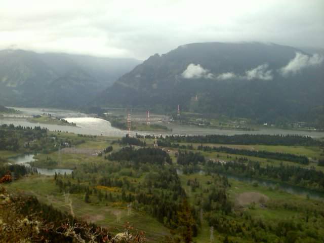
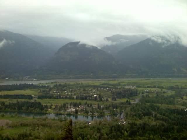
18 miles of hiking • 5000' elevation gain •
Over 5000' and almost 18 mile hike around Table Mountain area.
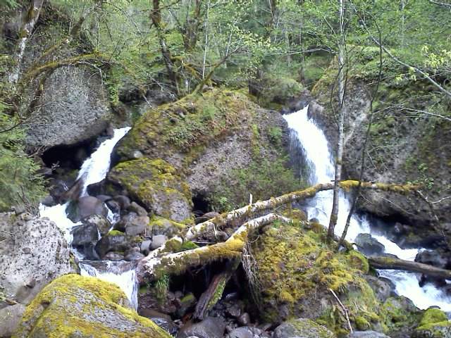
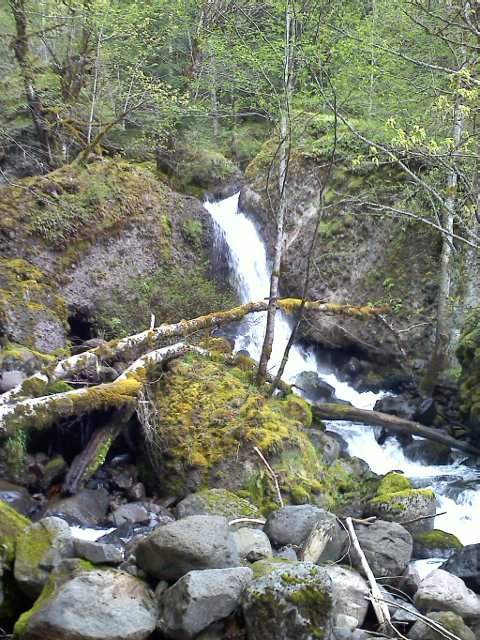
Not sure I made it to Greenleaf Falls, there was sign for Cave Falls where I turned around and thought that was the alternate name for Greenleaf, but it looks like there is a trail on the other side of the raging falls/stream, no way I was going to cross that after doing everything else today.
Yup, didn't get to Greenleaf falls but Cave Falls is also on Greenleaf Creek I think...
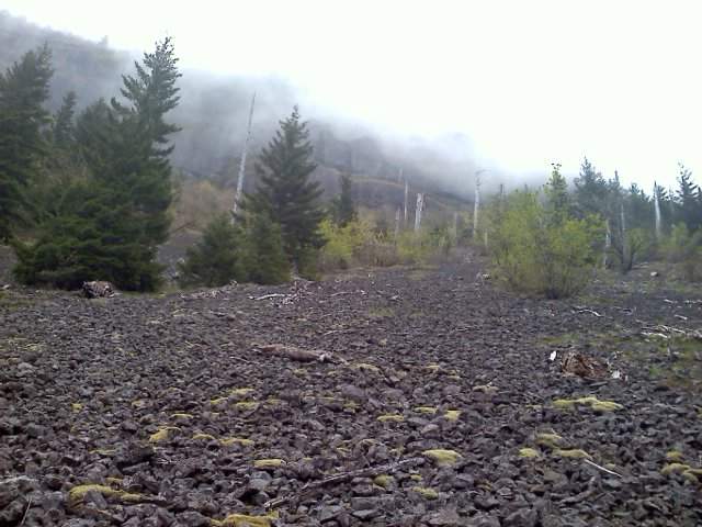
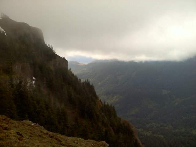
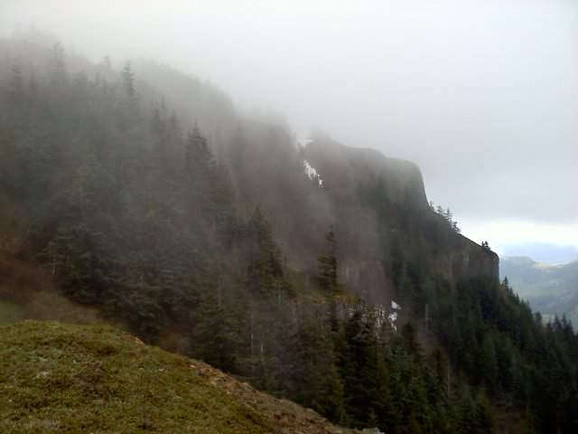
Didn't take any pictures from the top of Table since it was socked in, drizzly and windy and cold and... bailed off of Table as fast as I could and went down the old Mazama Winter route which is partly closed. Don't worry DNR guys, I didn't step on anything pretty on the way down. Met a Mazama named Jack, he's the one who said I went down the winter route. Barely saw anyone, super sparse from hikers today.
Did see some loud motorcycle dudes, about 6 of them going up to Greenleaf Falls area. Had their work cut out for them, they had to stop and lift their bikes over some downed trees :))
Edit is for my knee - knee ok and started to tinge towards the very end of this hike.


Comments

Eric Peterson
May 23, 2011
Thanks man :D
You should have jetted over after St Helens, it was clearing up weather wise when I got back to my car at 4:30.
Jack, who I met on Table, was on peak #2 during his Hamilton/Table/Dog tour! Told him to look me up on Pdx Hikers and that's when he said he was a Mazama...
Justin Wright
May 23, 2011
One heck of a hike! I still need to make my way up Table one of these day, hopefully on a nice clear day :)