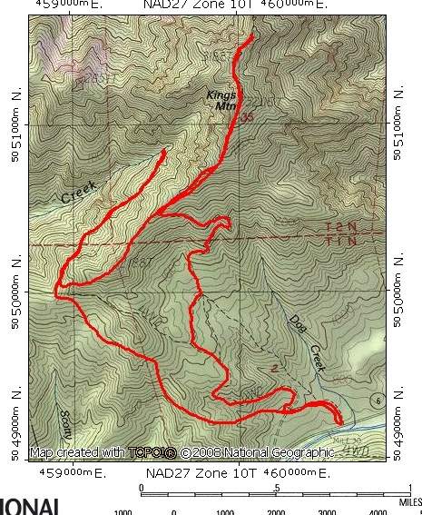
8 miles of hiking • 3000' elevation gain •
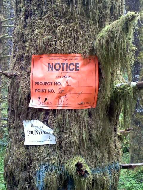
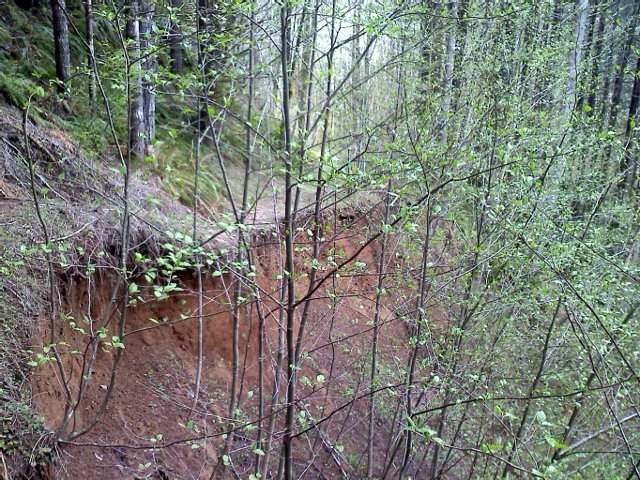
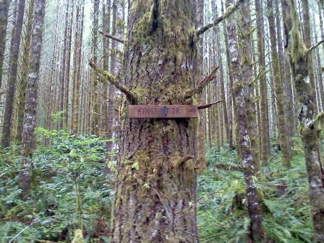
Started at Kings Mountain trail head, went west on the Wilson River trail to check out Lester Creek and look for those C and CASS blue markers Mayhem mentioned on PDX Hikers. Went back to get up Kings JR that intersects with Kings MT trail at the 2200' level, cruised up to Kings and met a nice young couple warning me not to make the Kings to Elk traverse. Had no intentions of doing that traverse right now without my snow shoes. Met some other folks on top of Kings who also mentioned the young couple. Diverted off Kings proper again on the way down to check out Little Kings that really just follows a old ATV route and is ribboned with all sorts of pink and pink/black tape and timber sale boundary markers.