

2012 Trips


August 18 – August 19, 2012

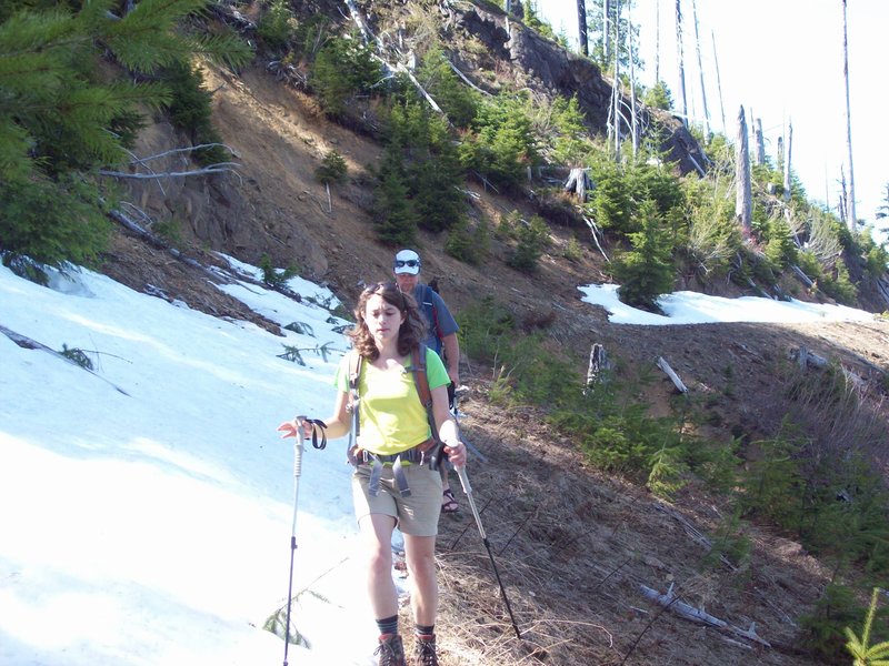
August 14, 2012
 1
1
Mount Margaret Backcountry
16 miles of hiking • 2000' elevation gain • 1 night
Made a quick overnight to Dome camp from the Johnston Ridge Observatory. Feasted on huckleberries and strawberries along the way. Caught a glimpse of about a dozen elk. Watched the Perseid meteor shower until 2:30 in the morning. Hiked back. Good times had by all.
August 11 – August 12, 2012
 1
1
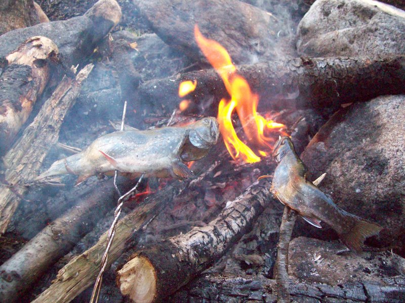
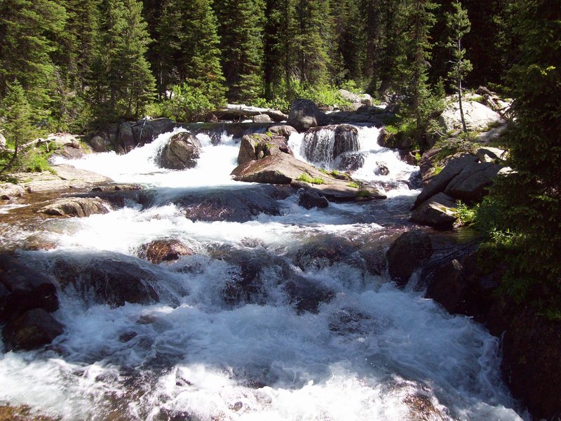
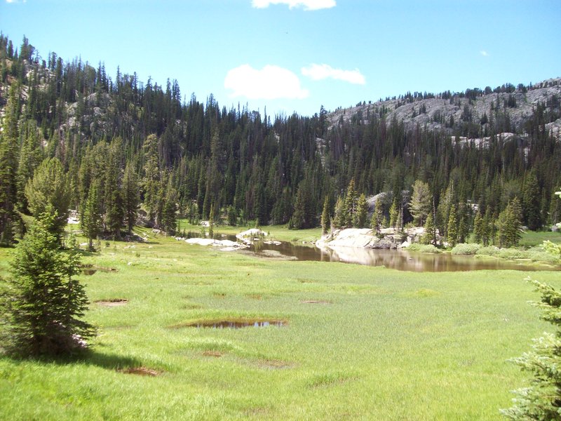
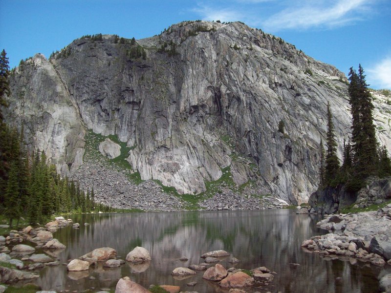
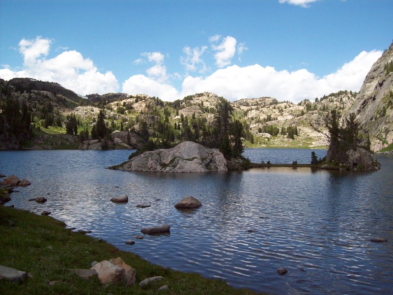
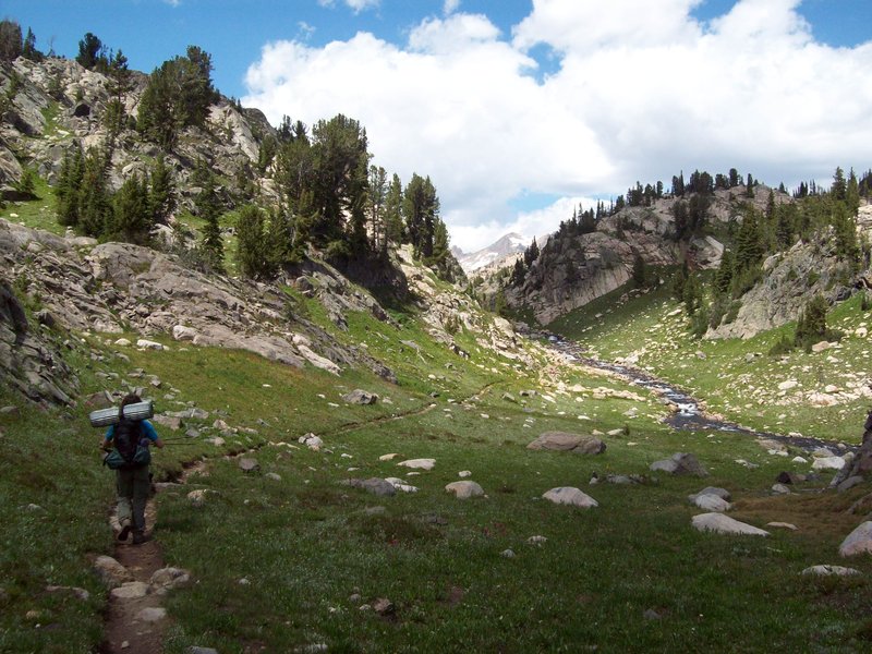
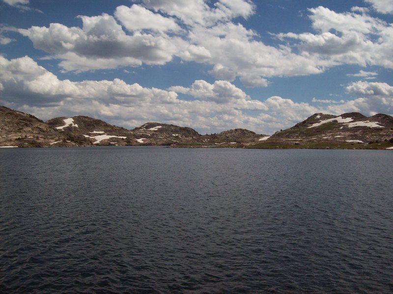
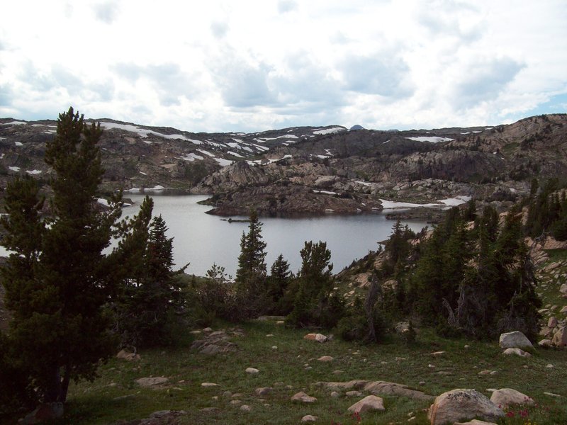
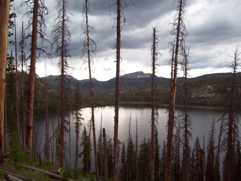
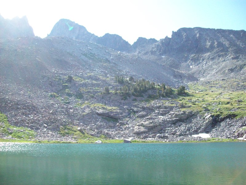
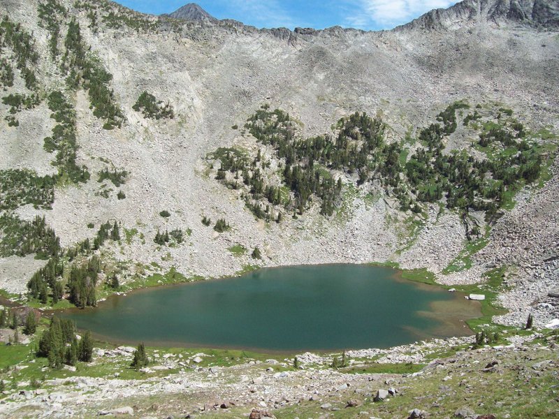
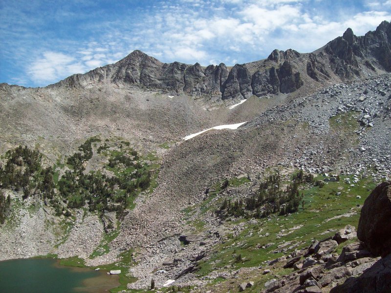
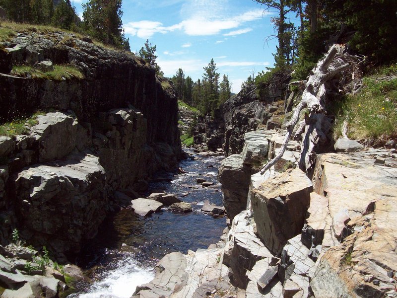
East Rosebud Trail to Fossil Lake - Beartooth Wilderness
21 miles of hiking • 3000' elevation gain • 2 nights
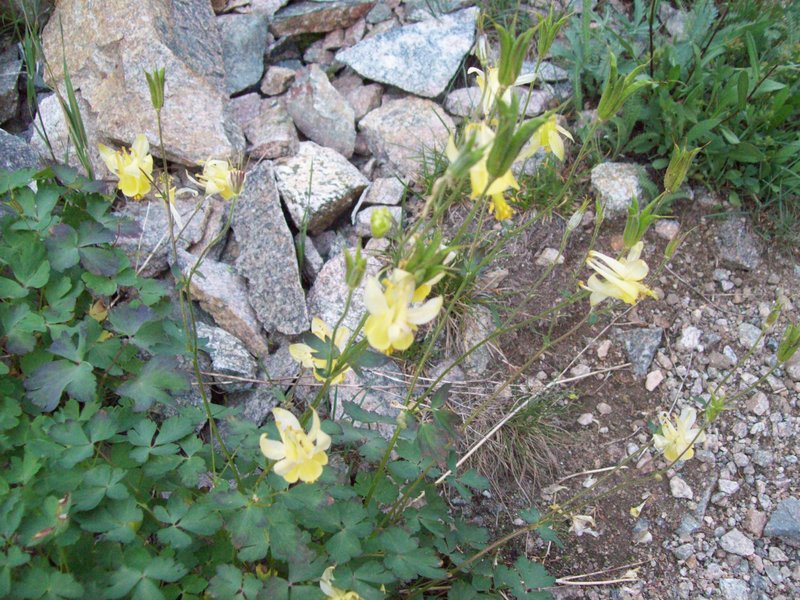
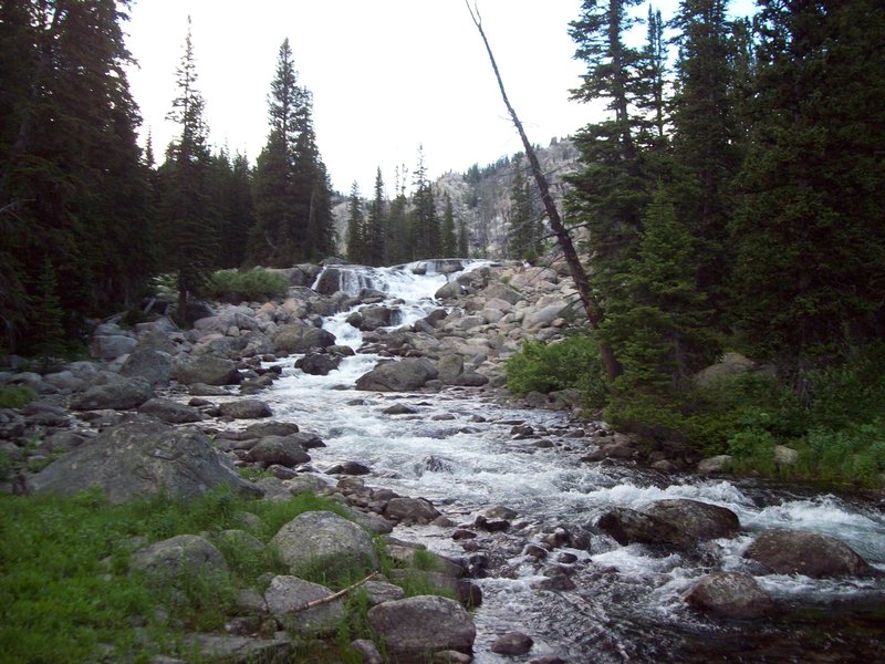
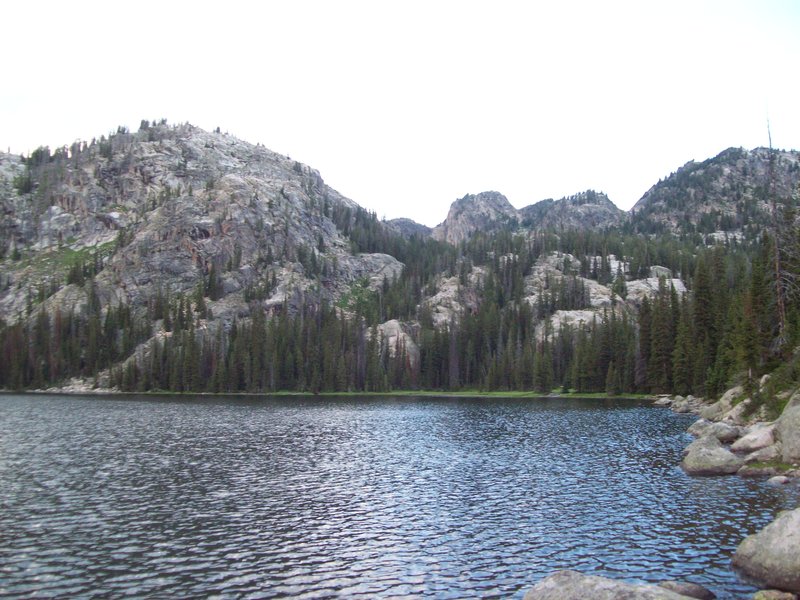
I'll have to add to this later. All I can say for now is that this was an amazing parade of lakes, valleys, mountains, waterfalls, meadows, trout, and general fantastic-ness that I will guarantee a return to this area to do a more thorough exploration. You really get everything you could hope for in this hike. Want to fish? You can hardly get your caddis on the water before you're pulling in another delicious golden trout. Want to see wildlife? You'd better want to (keep in mind that it is serious grizzly country, so making some noise on the trail is a must, though may scare off other critters as well). Want to see hundreds of varieties of wildflowers (like pink and purple paintbrush or white and yellow columbine)? How about dense forests on your way to alpine tundra? Maybe you want to swim? How about find morel mushrooms? Honestly, the only wish you'll have ungranted in this area is a break from the hordes of mosquitos (they don't really respond to 100% deet repellant). What an amazing trip - not to mention that you have to drive through Yellowstone and/or the Beartooth Highway just to get to the trailhead.
July 25 – July 27, 2012


 1
1
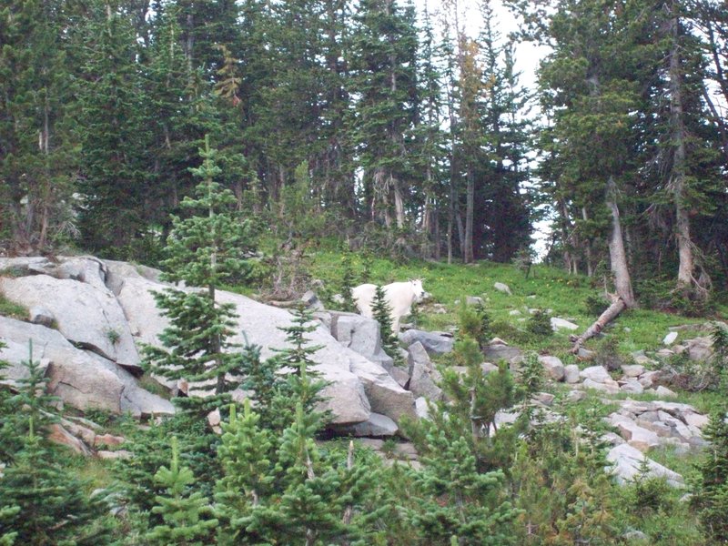
Cottonwood Lake Trail in the Crazy Mountains
12 miles of hiking • 2500' elevation gain • 1 night
This lake is spectacular! Not only were the lakes, creek and surrounding mountains spectacular, but the wildlife was too. On our way into the lake, we saw 3 white-tail bucks and a WOLVERINE! Unfortunately, it was evening by the time we got to the lake, and our cameras weren't up to the task of capturing the shy beast, but no matter, I don't think I'll be forgetting him any time soon! The next morning, we were greeted by a mountain goat about 30 yards from our tent. Add this to some fishing and some relaxation in glacier fed lakes and streams on a hot day, and you have yourself a pretty awesome 1 night backpacking trip.
July 23 – July 24, 2012

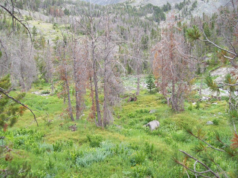


Vista Ridge to explore the aftermath of the Dollar Lake Fire
7 miles of hiking • 2250' elevation gain •
July 2, 2012

Devil's Peak Lookout from Cool Creek
7.5 miles of hiking • 3250' elevation gain •
The rain was supposed to let up by noon, but accuweather failed again. OH well. The bear grass and rhododendrons were blooming like crazy, and I found a few spring morels to boot! Jon and I stopped for lunch and to dry off a bit at the fire lookout before heading down. A good day, a solid hike. I'll be heading back with good weather, for sure!
June 26, 2012

Nesmith Point
10 miles of hiking • 3750' elevation gain •
It was rainy. Found a salamander/ orange-bellied lizard of some kind. Jon and I were attacked by an angry hen. We reached the top, and views were obscured by the clouds. Caught some good sights on the way down. It was a successful day.
June 19, 2012

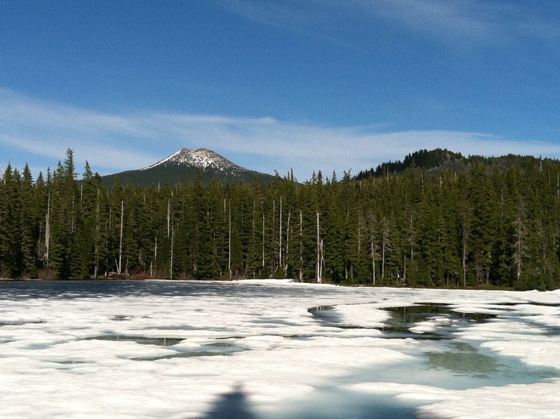
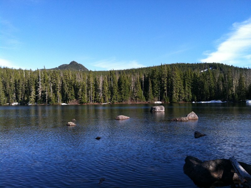
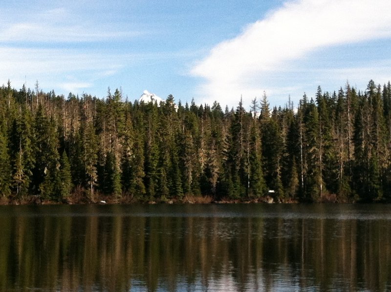
Potato Butte Attempt
6 miles of hiking • 1250' elevation gain •
We decided to hit this hike up on the way home from a weekend near Bend.The plan was to do Potato Butte, but the conditions had other ideas. The snow starts on this hike around Red Lake. It's hard packed and melting, so you only punch through once in a while. The trail is a mess though, more of a creek or a bog than a trail in some places. Red Lake and Averill Lake are snow-free and beautiful. Wall Lake is 50% snowed over, 35% slush and a little water. This is the point that we turned around at. It was getting a little darker than we were comfortable with, given the distance from the car and we still had to drive home to Portland. I hope to return to this area soon, before the clouds of vampires come out of the water. No bites today, but it was getting a little buggy on the way back.
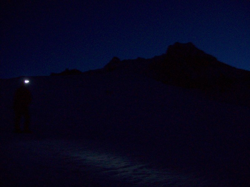
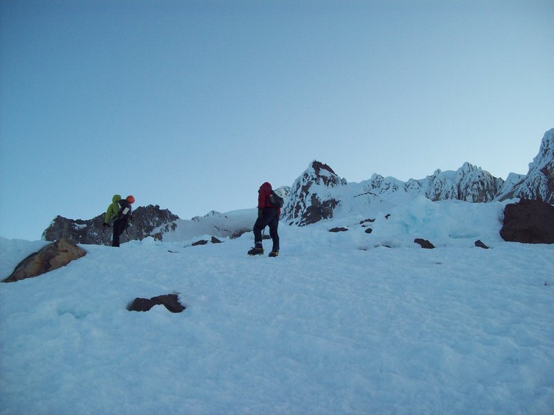
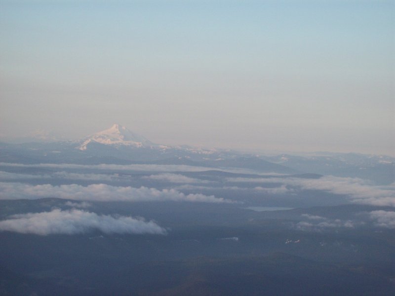
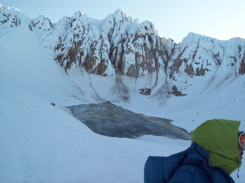
June 10, 2012


 2
2
Mount Hood Summit via Hogsback
8 miles of hiking • 5500' elevation gain •
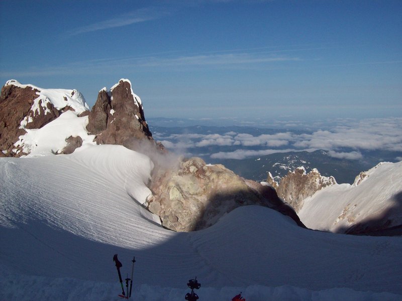
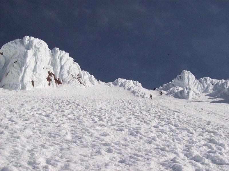
It was frigid cold at about 2am as Kevin, Jon and I left the parking lot, wind gusts blasting us with sand and snow at ~30-35 miles per hour. Riding on 2 hours of sleep, hiking by headlamp in the dark and platypus hose frozen solid (despite blowing the water out of it each time) you wonder for a moment if you're making the right choice. We were. The sun started to rise soon after we passed the the end of the Palmer lift around ~9,000 ft. There was almost no Moon, nor clouds, so the Sun was a welcome sight. Luckily, the sun brought with it a calming presence on much of the wind. We reached the caldera, and were greeted by the wicked stench of sulphur being emitted by the fumeroles in Crater Rock. That was not fun, but it was fun to see how close we were to reaching the goal. At this point we donned our helmets, and joined the processional across the Hogsback and up the Old Chute to the summit. There were a dozen and a half or so people climbing this route today, some roped up, others not. The summit was sunny but windy, which made the Knife's edge ridge a little nervous. It was a great place to hang out for awhile. There were only intermittent clouds in the area, and you could see everything clearly, from beyond the Sisters to Rainier and beyond. The trip down was uneventful, aside from discovering that my celebratory beer had frozen and exploded in my backpack. We were back at the car about noon.
May 17, 2012

 1
1
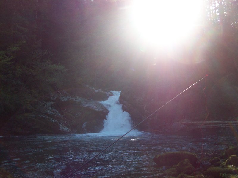
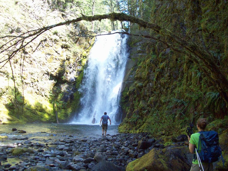
Siouxon Creek
18 miles of hiking • 3250' elevation gain • 1 night
Some friends and I spent a delightfully hot night out camped by Siouxon Falls. Did a little fishing and a lot of enjoyable hanging out. Woke up the next morning, and we decided to try for a loop around Siouxon Peak. We went the way of Chinook Falls and Creek, which was an easy ford one way, and an easy tree crossing the other way (not for those with poor balance). There was still snow above 3K feet or so, but none of us had snowshoes or microspikes, and none of us had a problem. The problem came just as we were about to round the corner towards the Siouxon Peak final ascent - a big washout (see the last photo). It's possible that it could be passed safely, but we weren't in any mood to risk it, and turned around, making our loop into an out and back. Overall, a fun day, and a great way to spend a sunny Sunday afternoon.
I can't make any promises about the accuracy of the mileage and elevation gain, but I'm pretty sure I'm in the ballpark.
May 11 – May 12, 2012


May 6, 2012


Spring Break @ the Olympic National Park beaches
10 miles of hiking • 250' elevation gain • 2 nights
See Kyle Meyer's TR. It's really good.
March 23 – March 25, 2012

March 4, 2012

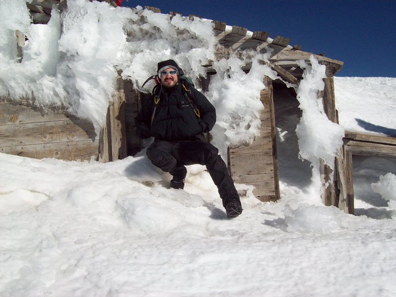
February 10, 2012


MSH Attempt
10 miles of hiking • 5000' elevation gain • 1 night
See Kyle Meyer's TR. It's really accurate.
January 6 – January 7, 2012
