16.5 miles of hiking • 4000' elevation gain •
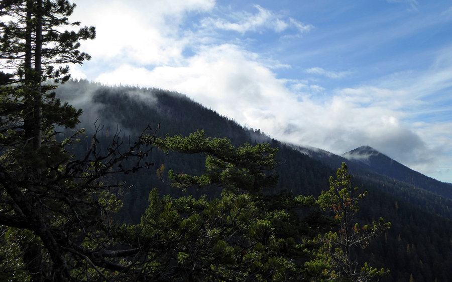
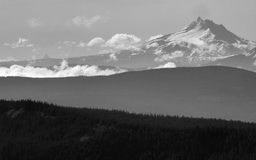
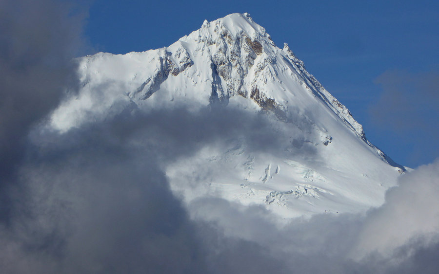
Finally got back out into the woods, after six weeks off the trail. So re-invigorating to realize how the stress had just melted right away almost instantly up there. Started at the Gumjuwac trailhead, right on US-35, and climbed up the first couple miles through the woods before hitting the first viewpoint. Unfortunately, Mount Hood was stubbornly stuck in the clouds at that point. (Hint: Do the loop clockwise with the hope Hood will pop out of the clouds later in the day, should this be the case "next time" as well!)
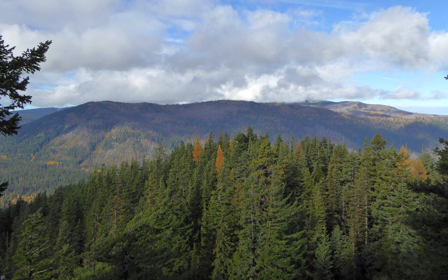
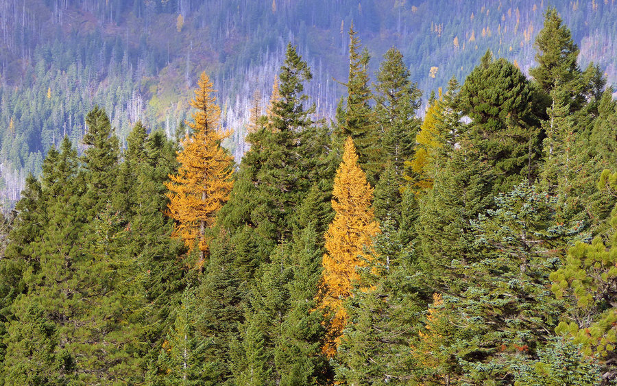
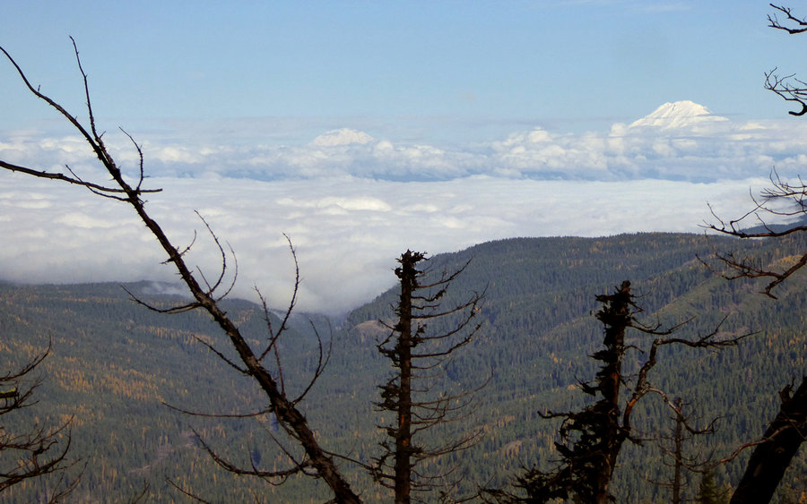
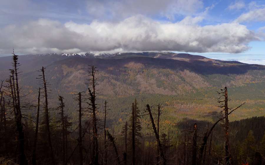
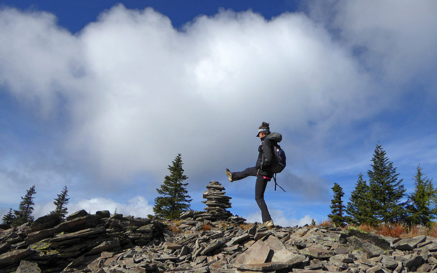
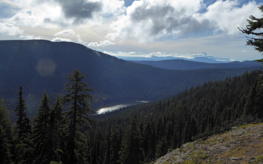
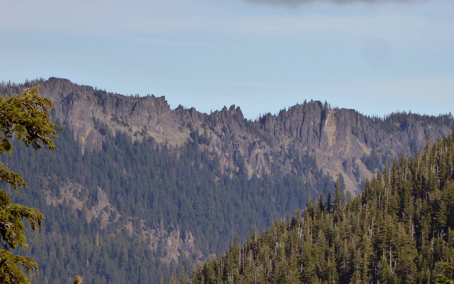
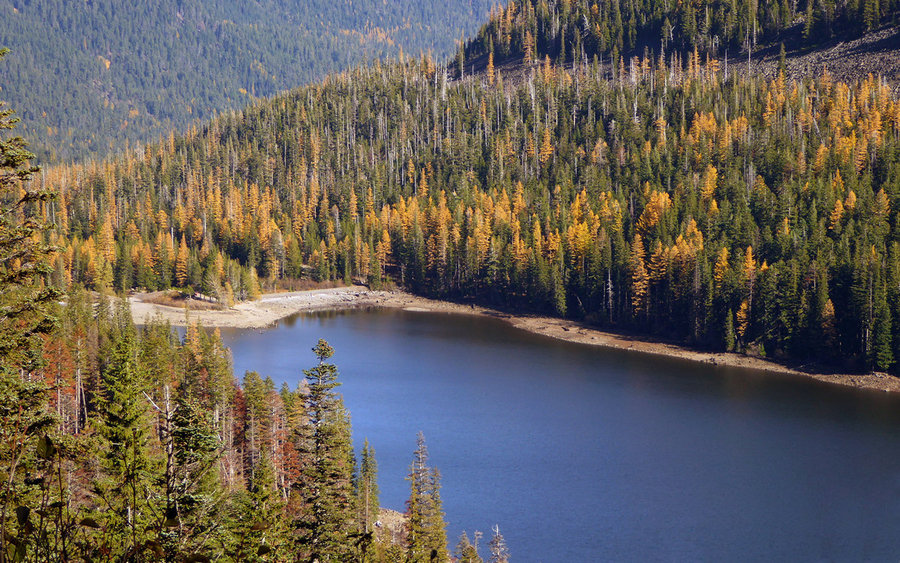
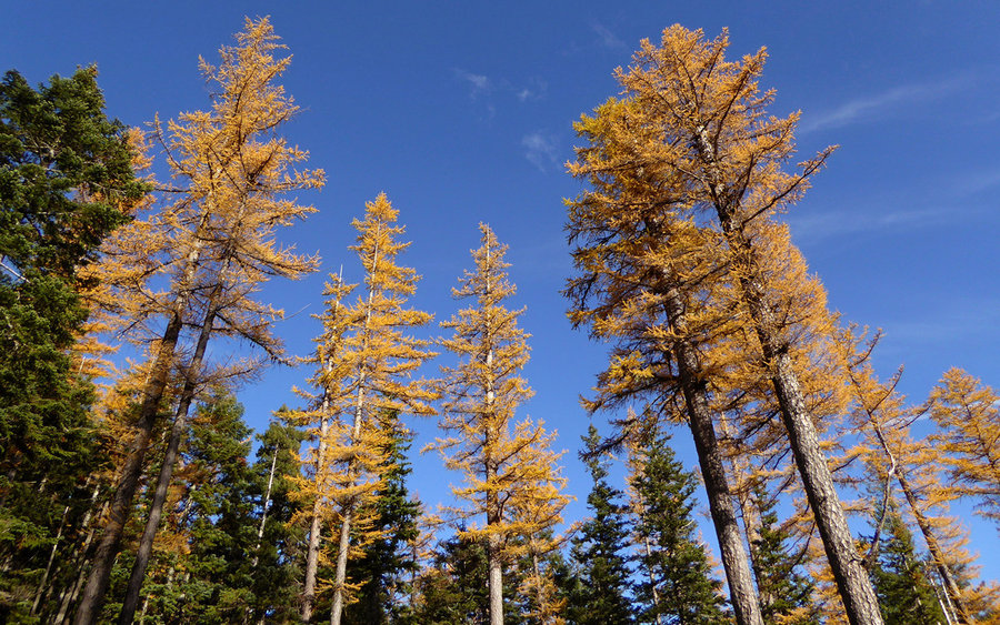
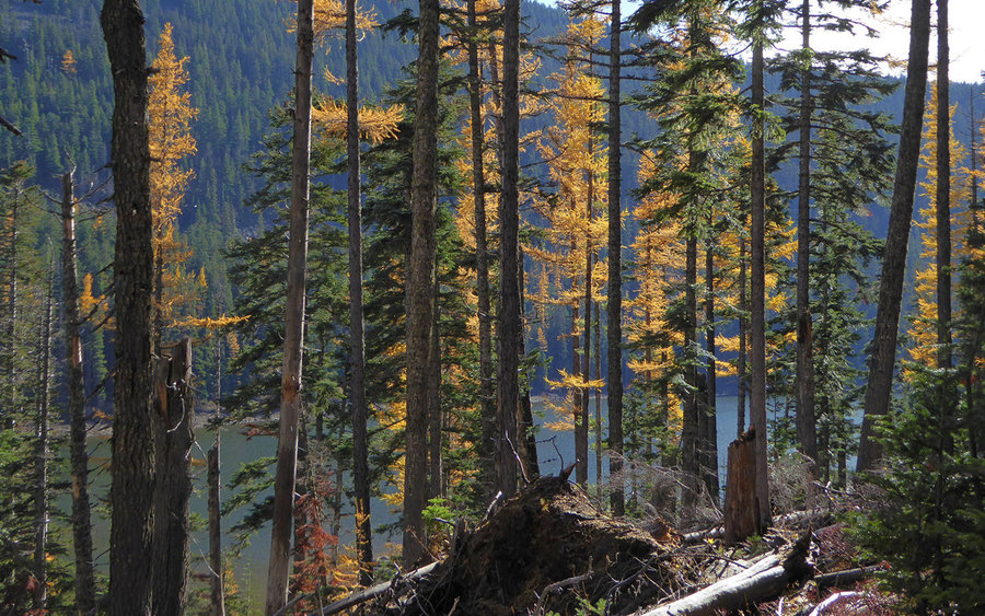
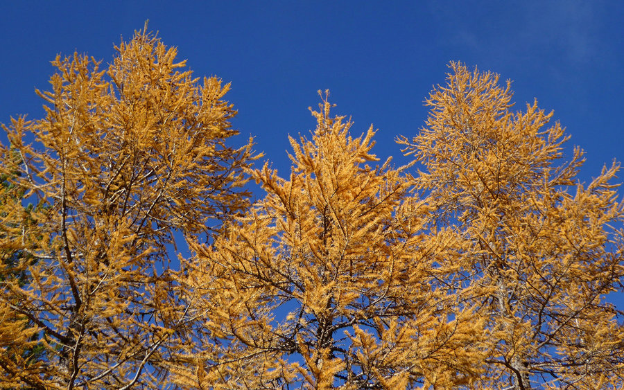
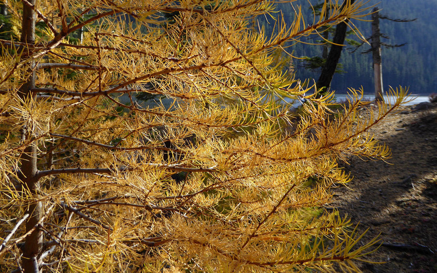
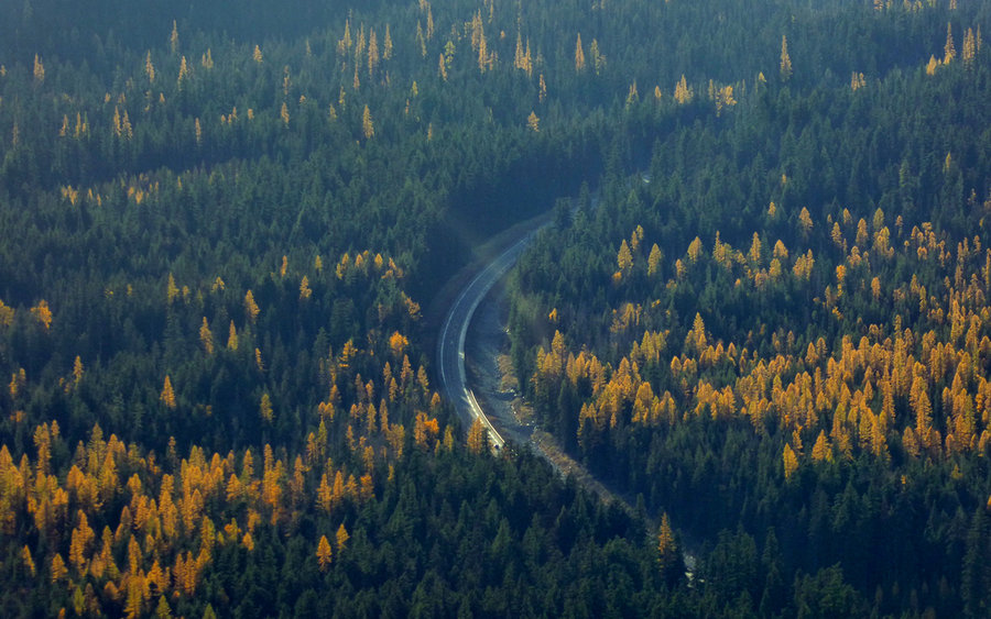
The viewpoint did offer glimpses of Mounts Rainier and Adams, floating above the clouds in Hood River valley, though. And we could start to see the dimpled splotches of yellow, from the Western larches turning before losing their needles, splayed out across the valleys. Looking to our west, we surveyed the ridgeline, at least as far as Gunsight Butte, that we'd be traversing next. Beyond the viewpoint, it was a short and almost level stroll to Gumjuwac Saddle.
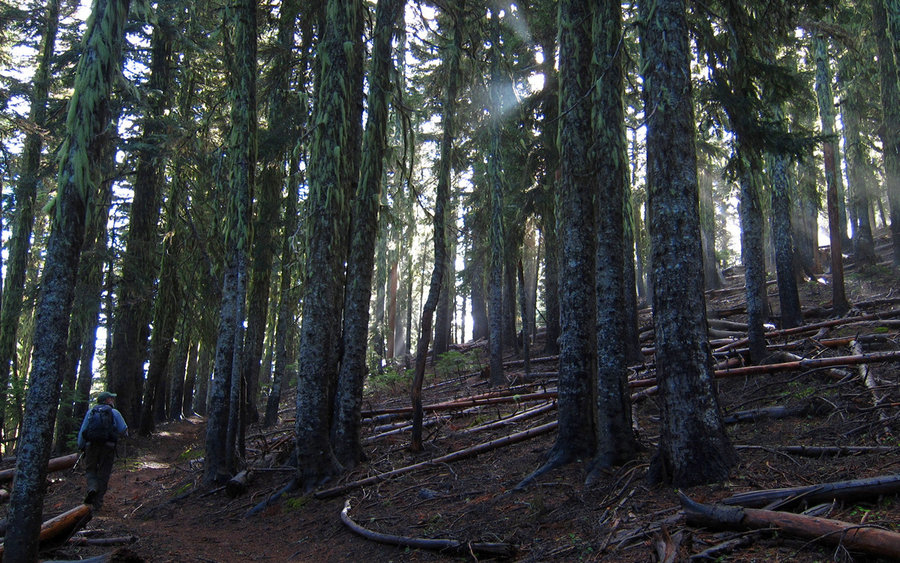
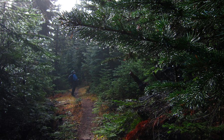
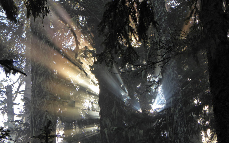
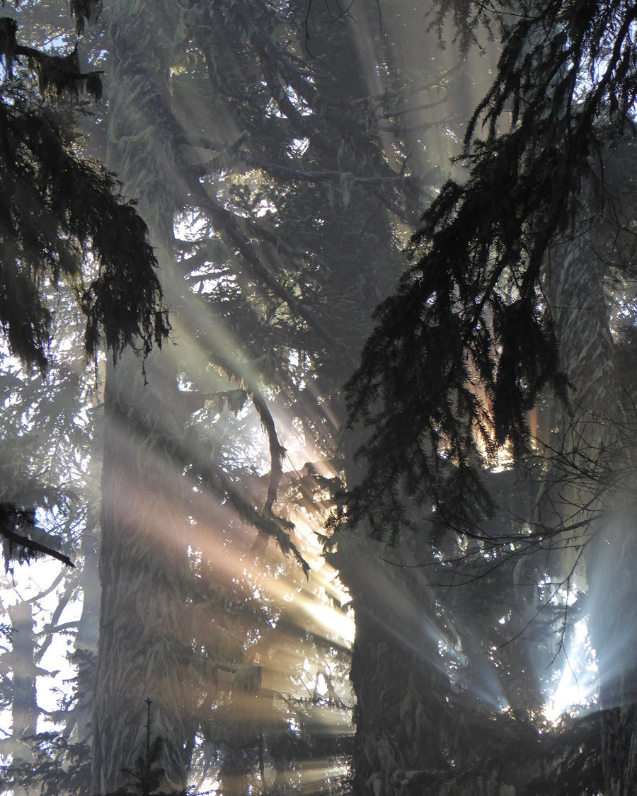
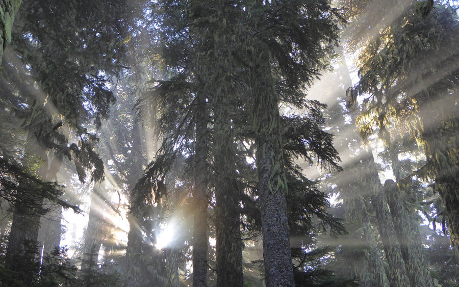
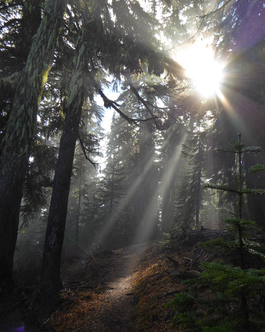
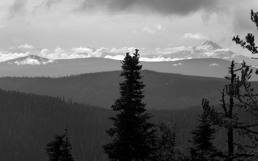
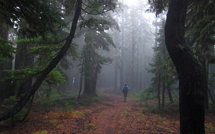
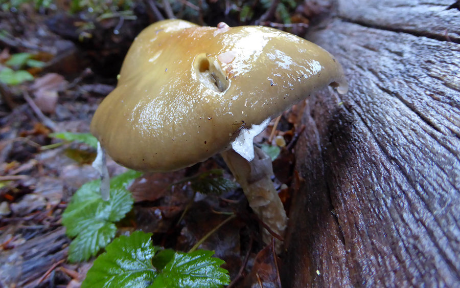
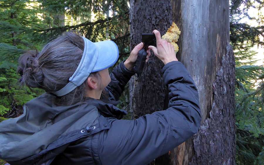
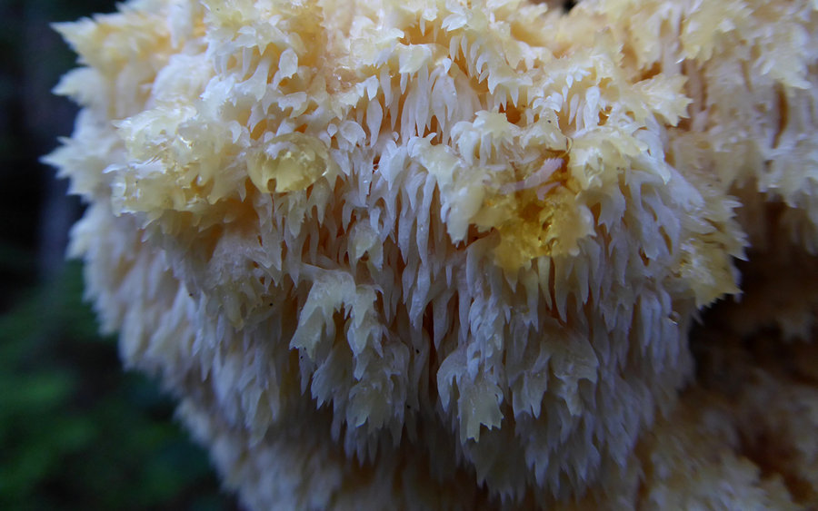
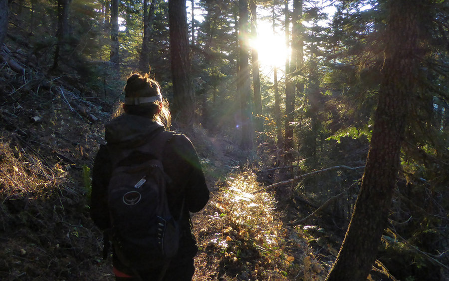
The trail beyond the saddle was pure delight! We traversed a miles-long ridgeline, rolling over one hump after another, taking in viewpoints as we went. Also along the way were miles of delightful forest, draped in shaggy moss, and misty from the fog blowing through. As we hiked, the sun poked through the clouds from time to time, providing a most astonishing show.
Finally, near Windy Camp, we happened to see our cut-off trail that led downhill towards the Badger Creek trail far below. This cut-off would be extremely easy to miss! It's almost as though someone tried to obscure it, and there are several trees down across it as well. But it was a great trail, and took us right down to where we wanted to go.
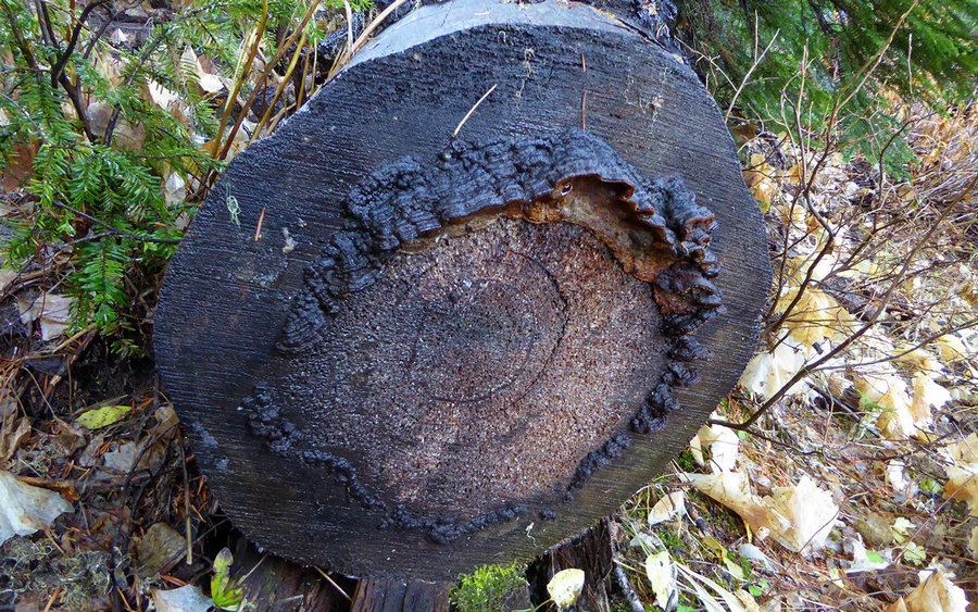
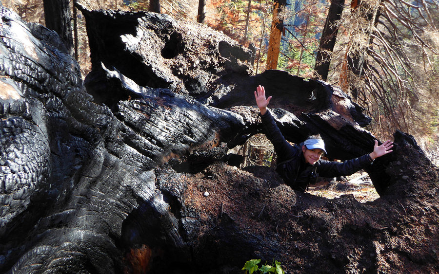
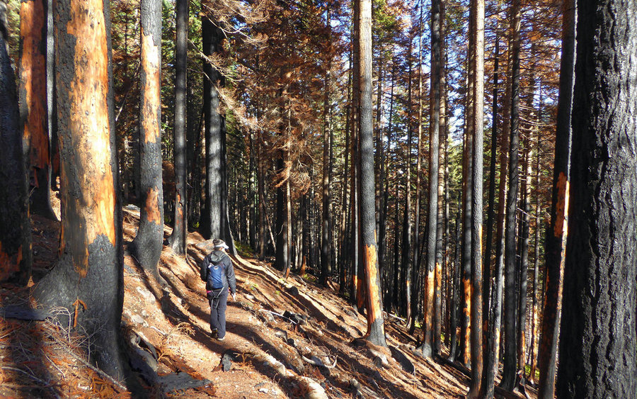
The Badger Creek trail seemed to be in want of a bit of maintenance. But then, it also seemed to be highly demanding in that regard. Mostly, it was a fine ramble, crossing numerous little creeks as we went. We crossed through the 2015 Badger Lake fire area, and were pleasantly surprised at how non-destructive it actually was. The area was quite well contained, and in places only the understory had burnt while the larger tree survived. That's how it's supposed to work!
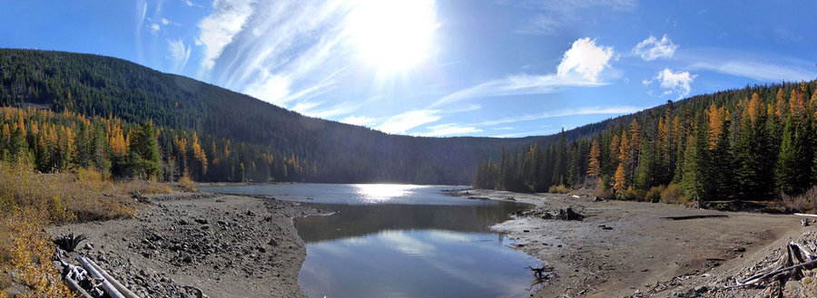
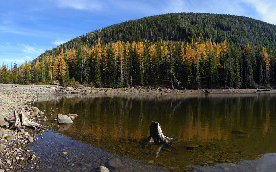
Finally, we found the spur trail down to the lake, and just had a marvelous time soaking in the sun while enjoying the views with lunch. The lake level seemed to be a good 10-12' below normal. We were surprised to see that it could actually be driven to, and quite glad to have total solitude on this wonderful Friday.
Relocating the Divide trail, for our return to the saddle, was more troublesome than anticipated. It forks off a bit west of the lake access, and we'd been staring down at the lake as we arrived so completely missed that crucial fact. A bit of backtracking put us back on course, though, as we began the climb back up out of the valley. This was probably the steepest segment of the whole day, and another argument for doing the loop clockwise if the clouds were over Hood in the morning.
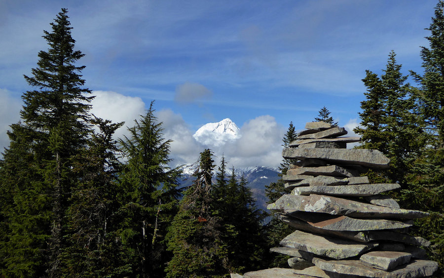
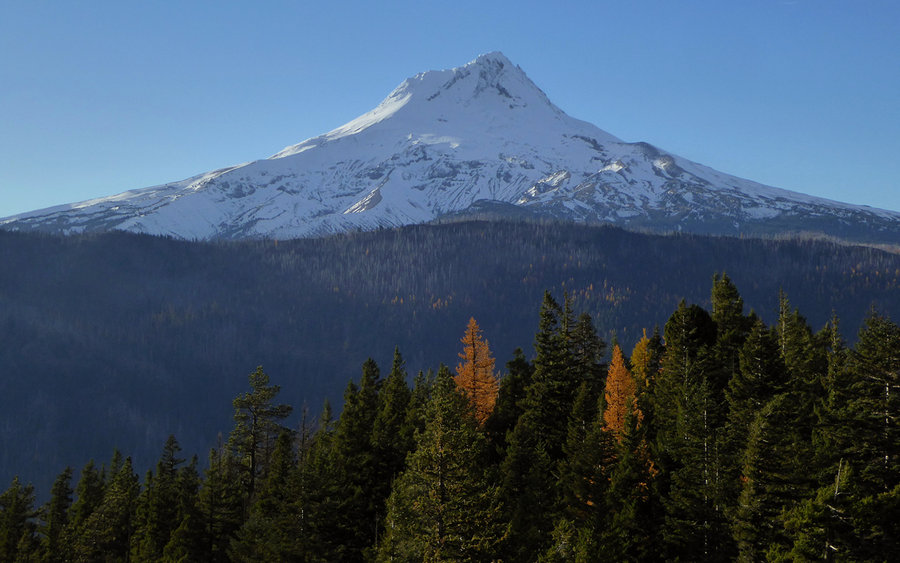
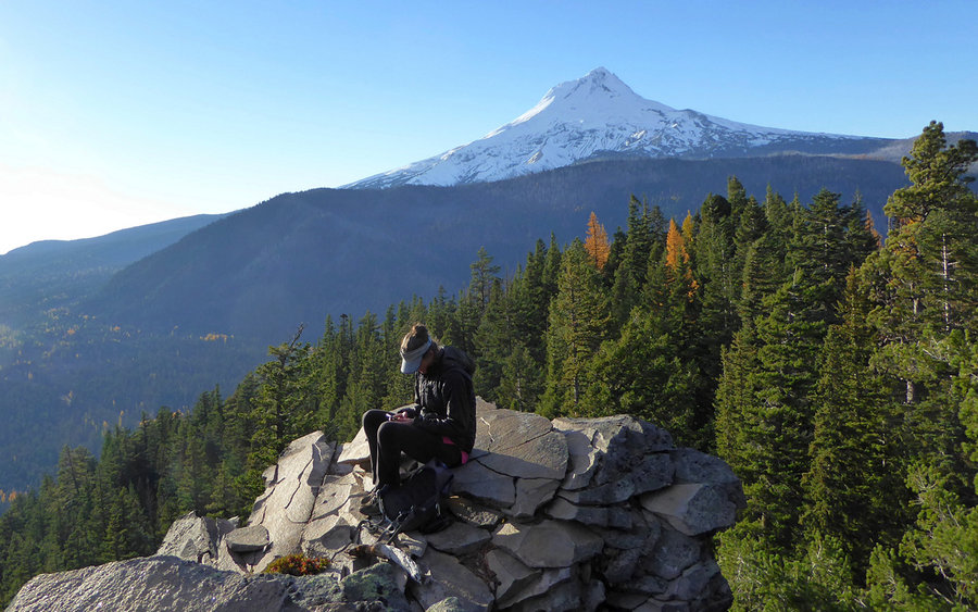
Coming back down Gumjuwac, the clouds had fully parted, and the views of Hood were astounding.