

20.5 miles of hiking • 5000' elevation gain •
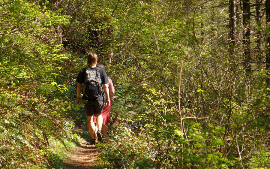
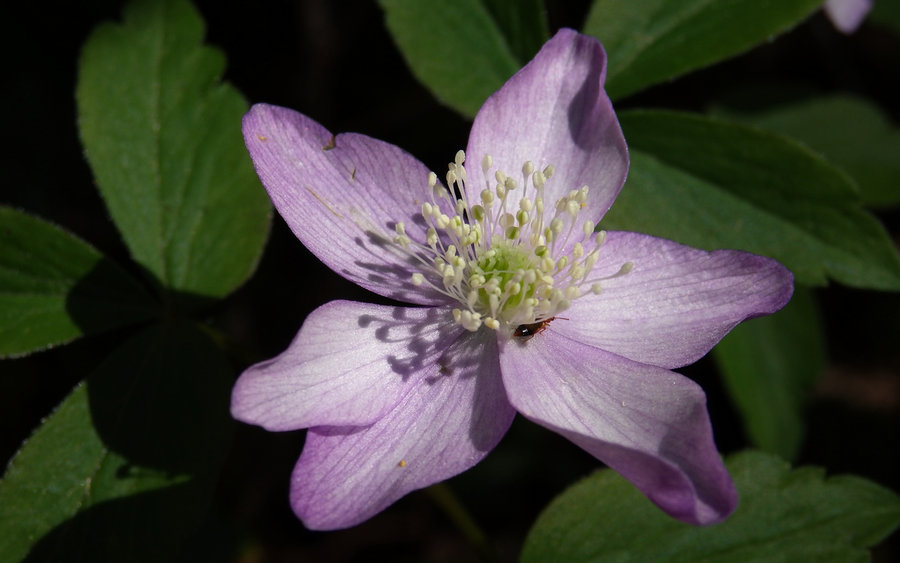
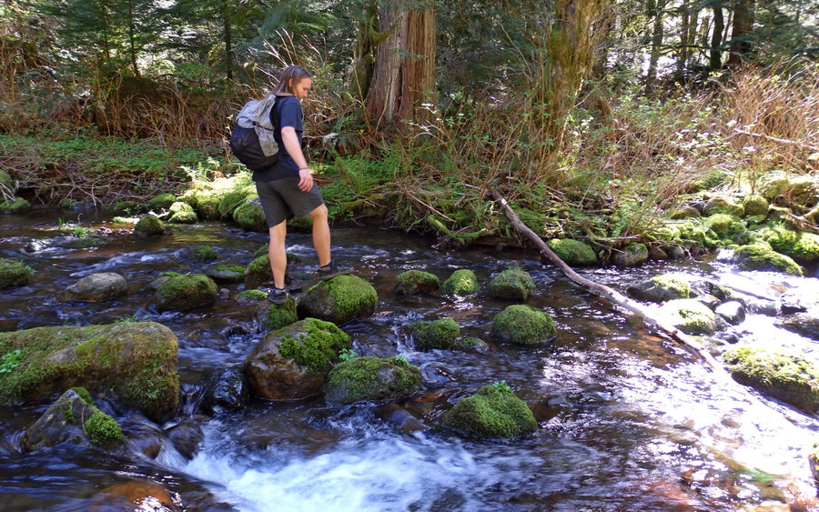
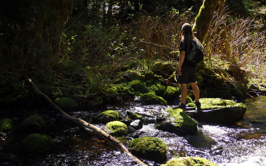
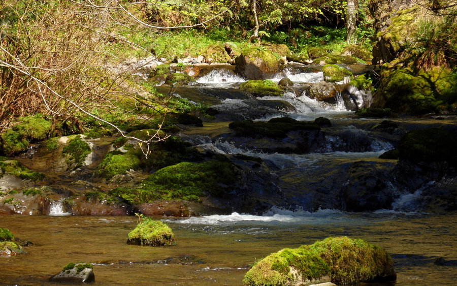
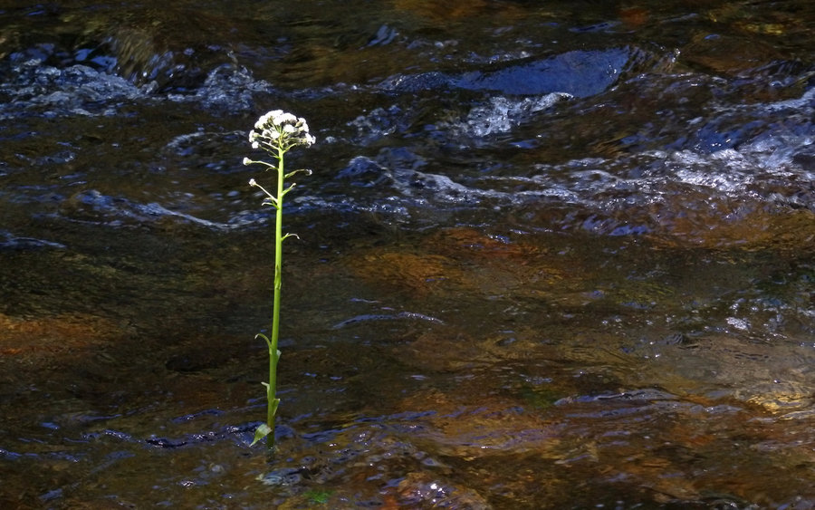
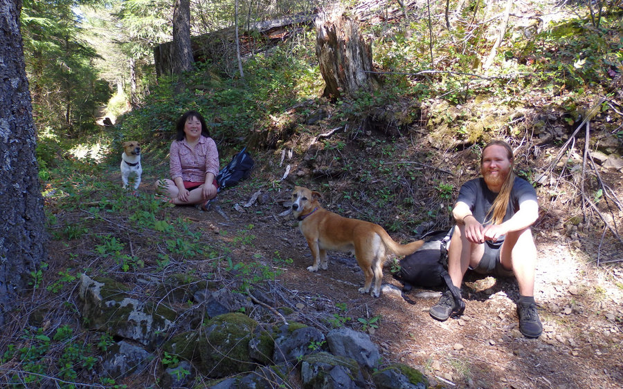
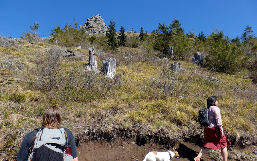
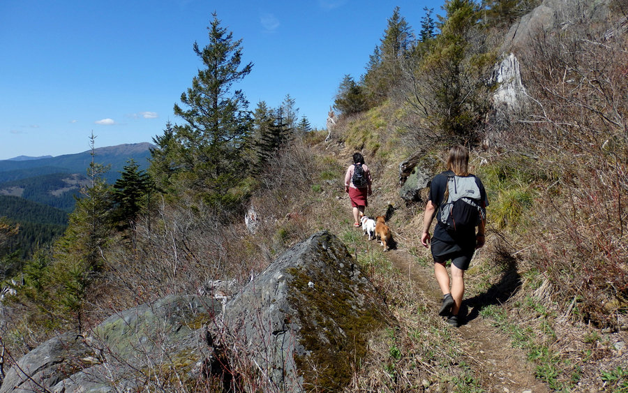
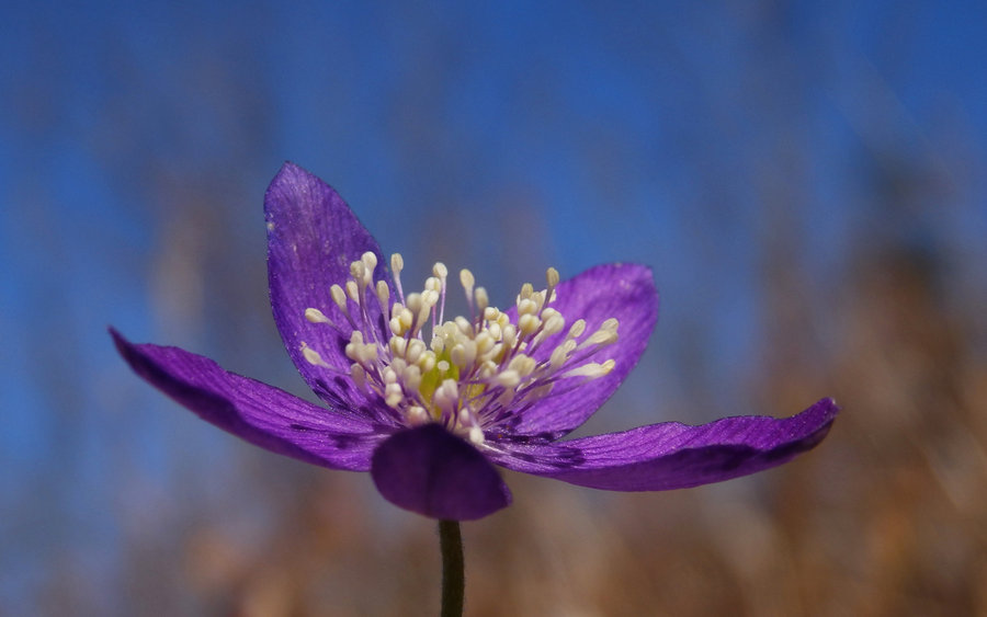
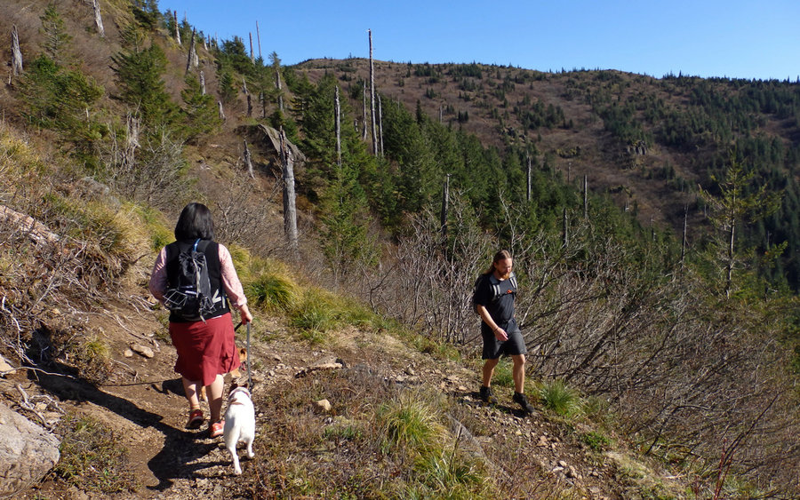
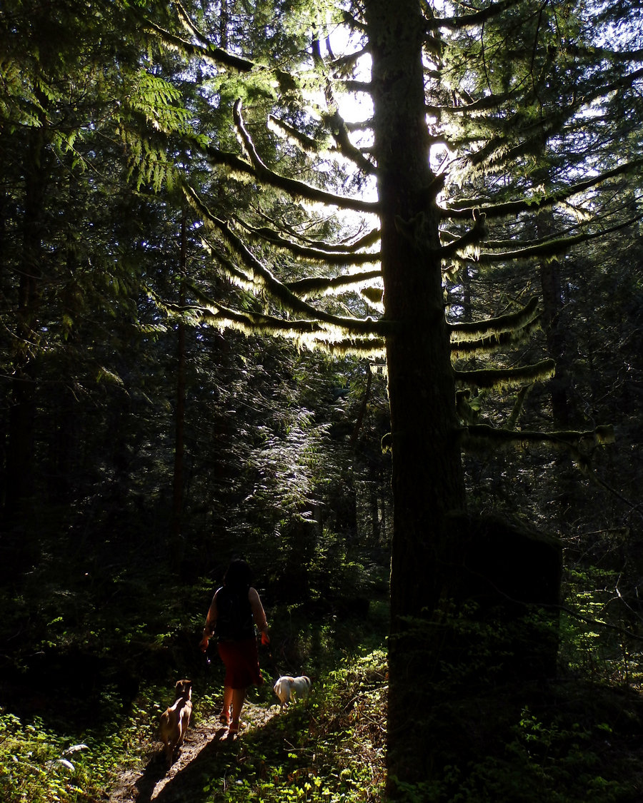
Finally made it up to Three Corner Rock - a great day with good friends. First time hiking with one of them, which was a real kick. The trail is a long, winding, roller-coaster sort of thing, heading off along Stebbins Creek from Washougal River Road. Most of it is through a lusciously green forest, with the constant sound of rushing water. Crossing the creek was possible, at least with long legs, by hopping between about 15 or so rocks. It wasn't too deep to ford, either; mostly just above the ankles.
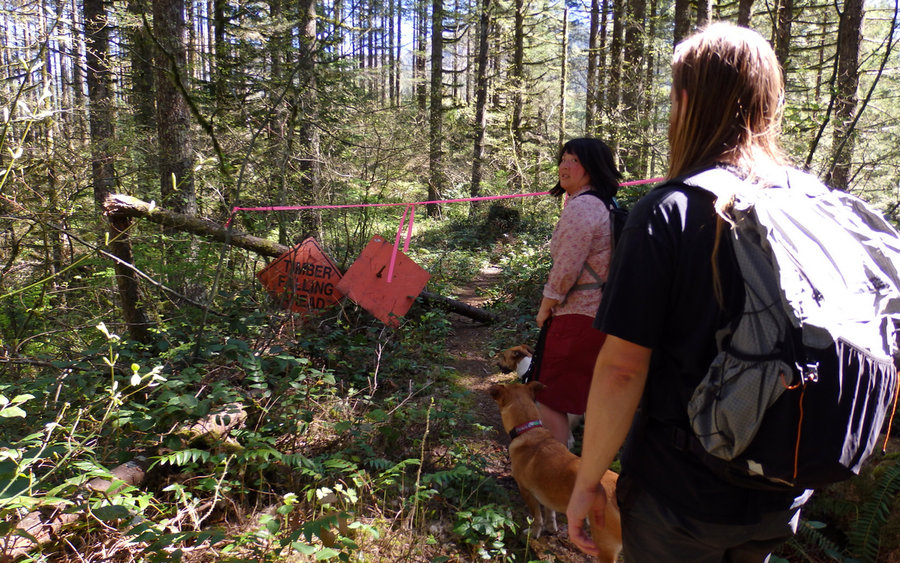
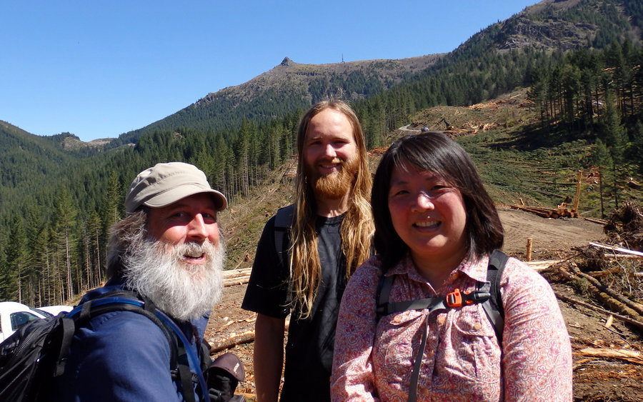
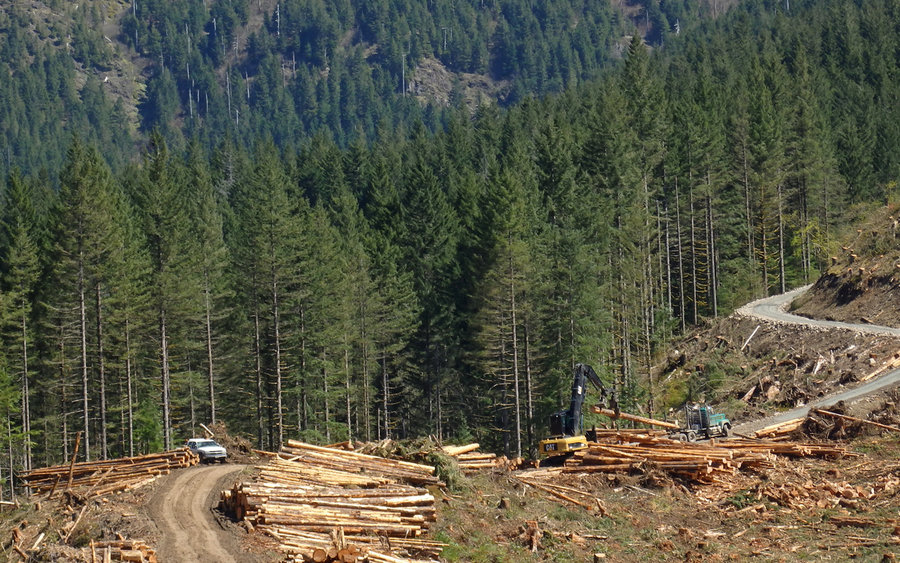
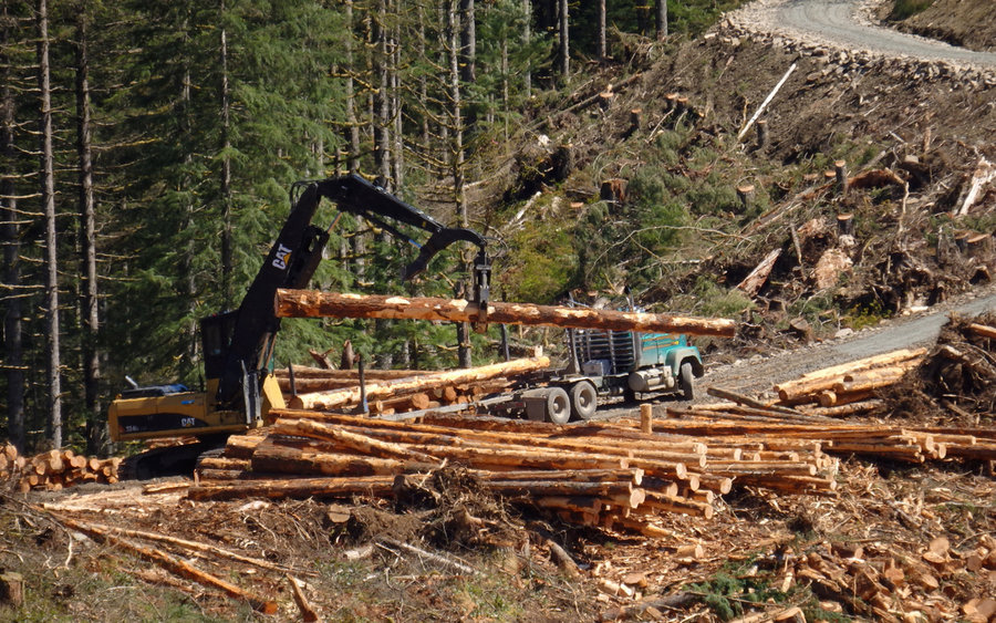
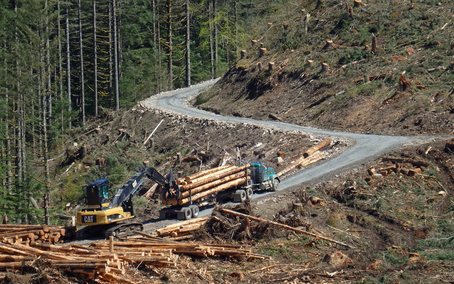
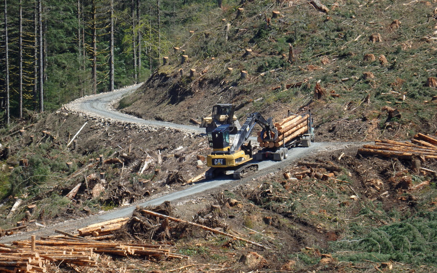
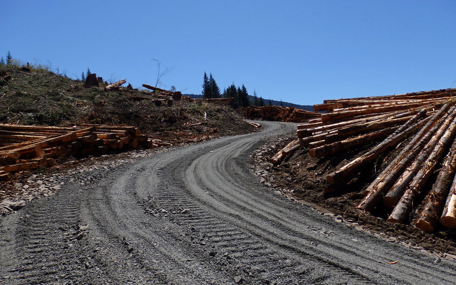
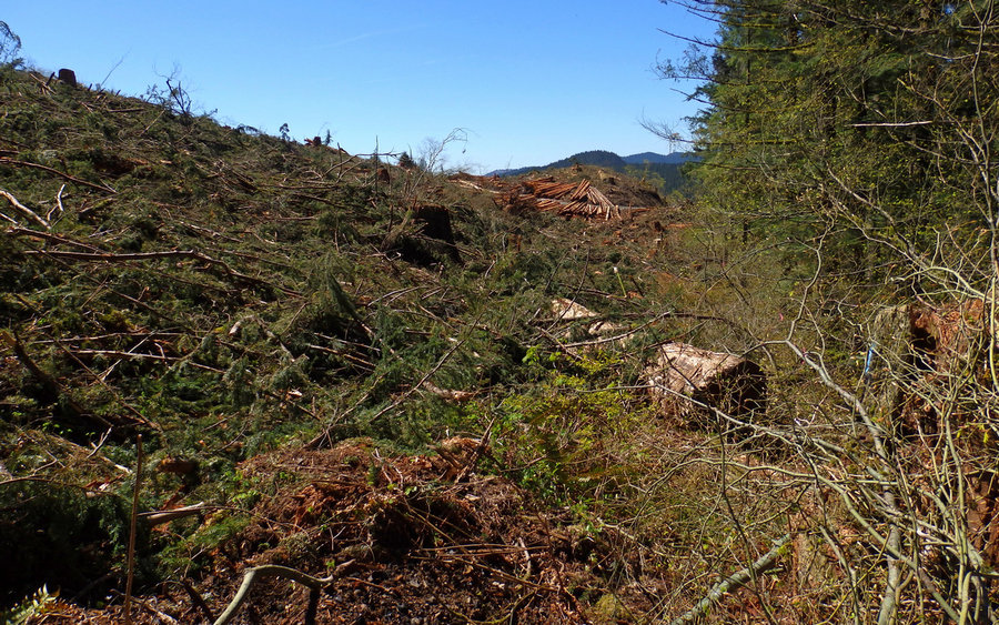
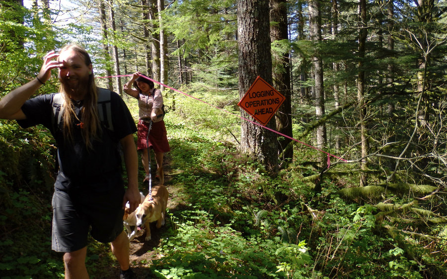
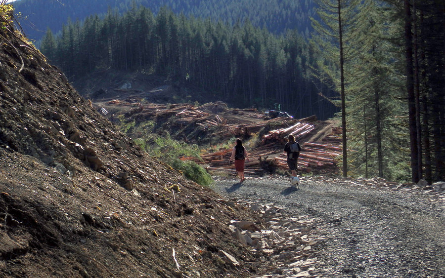
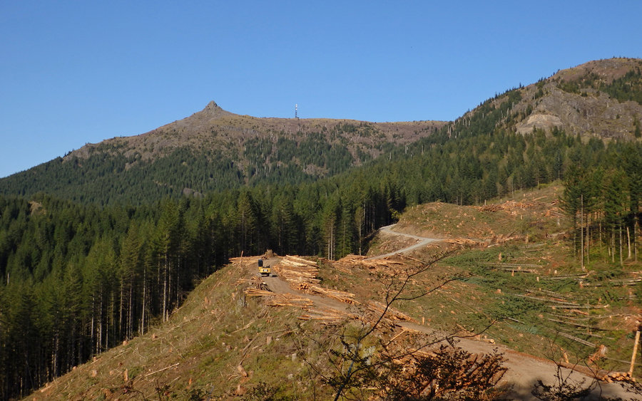
We did encounter one serious impediment, though. About six miles in, there's an active logging operation, which is apparently on private property. There is a sign at the trailhead advising of this, and when you get there tape blocks the trail and signs say it's closed. Well, at this point we could plainly see our objective, and weren't ready to turn around. We sat, ate our lunch, and observed the operations. At the point where no trucks were blocking the road through, we "made a run for it." It was pretty difficult finding the trail on the other side, but it's possible. You do have to traipse through some pretty nasty clearcut debris, or through a forest that's not very friendly either.
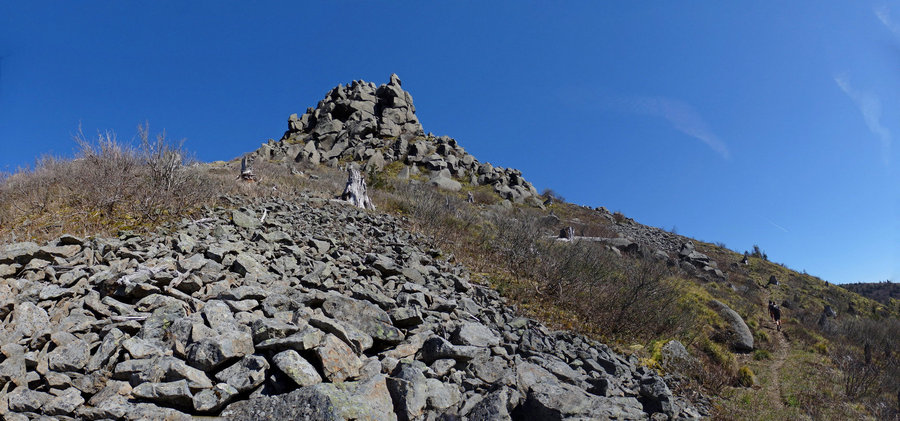
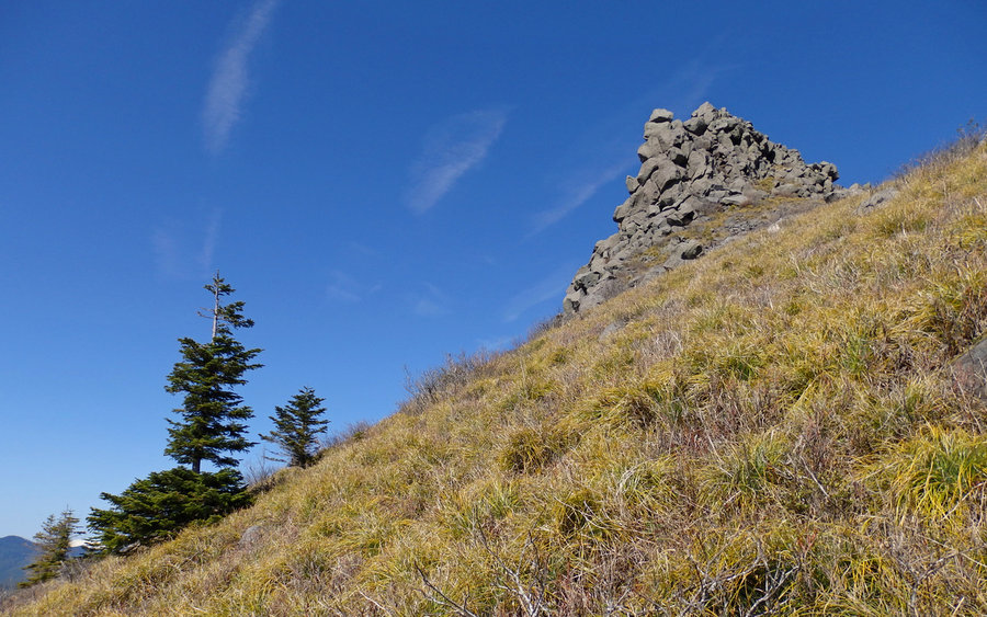
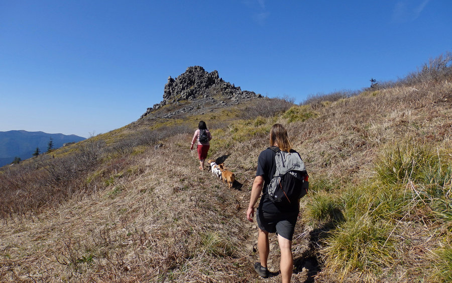
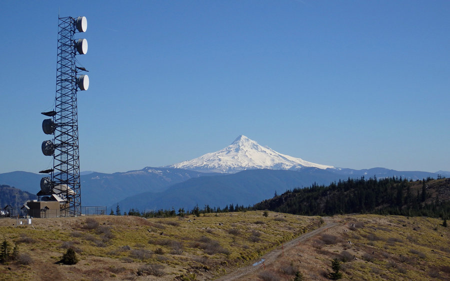
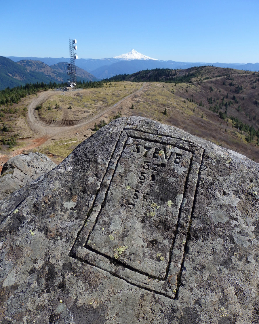
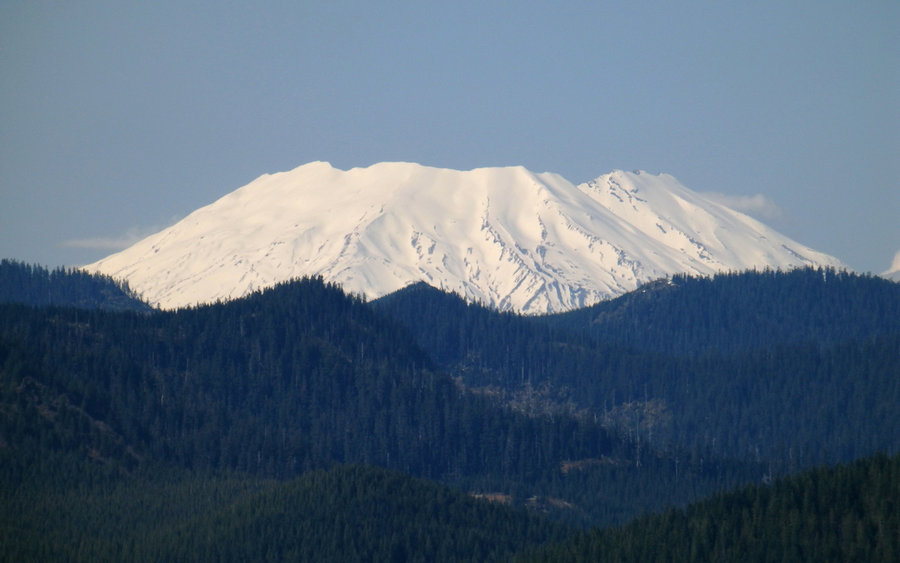
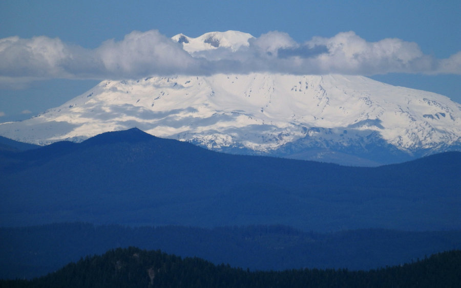
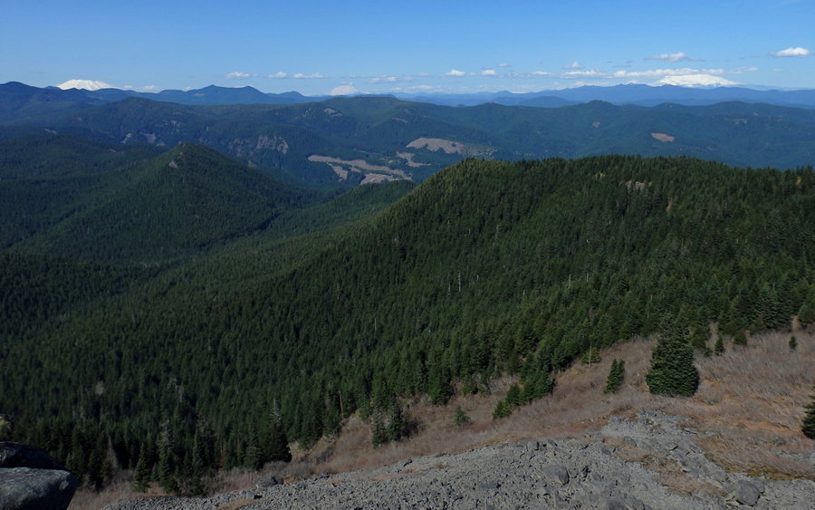
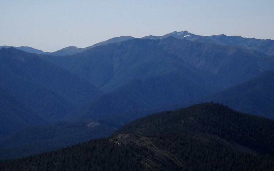
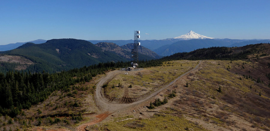
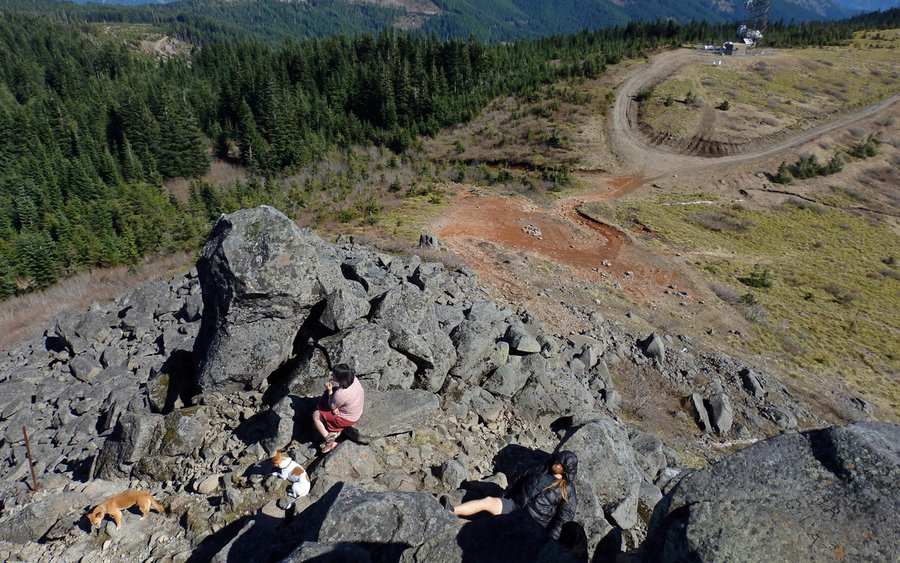
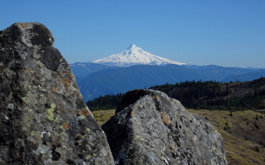
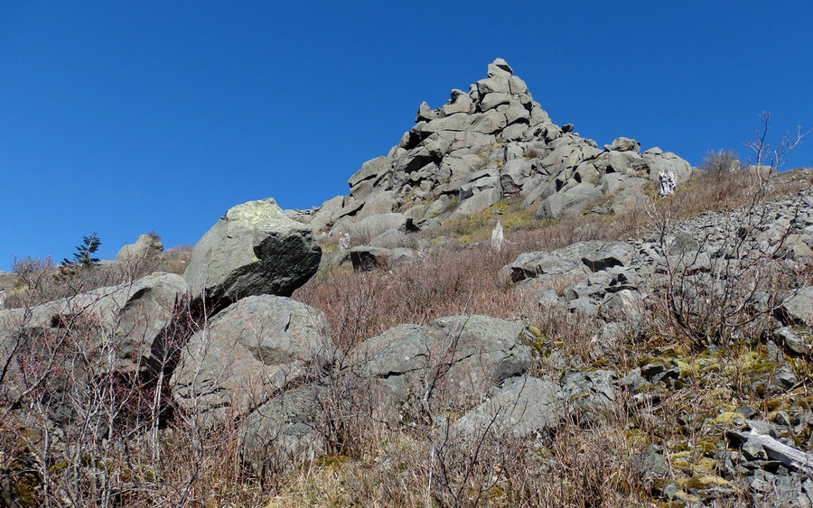
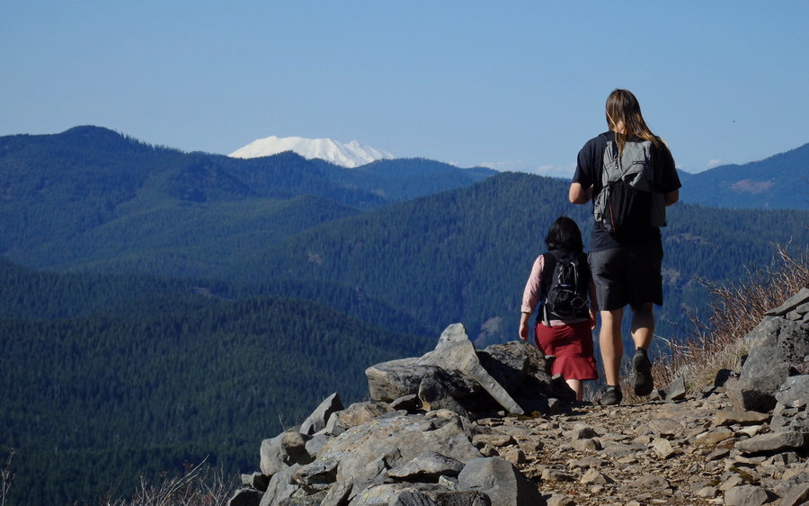
Getting by that obstacle, it was just a cruise to the summit. The closer we got, the smaller the rock looked! Very bizarre. And did I mention the switchbacks? They really don't end! That means the trail is never very steep, though. Up, up, up... Arriving at the rock, the views really open up. Quite the scramble to actually sit on top. Way worth it. Five volcanoes in sight. And nearly every peak within 75 miles that'd be worth climbing. I just sat and ticked off so many previous hikes... Tanner, Table, Larch, Nesmith, Defiance, Dog, Augspurger, Grassy Knoll, Little Huckleberry, Lemei, Observation Peak, Silver Star, etc, etc, etc...!
Seriously, the view is comparable to Tanner. Just amazing. It is, don't be fooled, an incredibly long day though!


JM
April 27, 2015
Is that Potato? (Namaste)