2014 Trips


Teneriffe
6.5 miles of hiking • 3750' elevation gain •
I forgot how much of a slog this. Straight up with no switchbacks, and zero views until you get to the top. It's pretty strenuous, and I almost wished I had some skis to make the hike easier. But then it wouldn't really be a hike, would it?
June 6, 2014

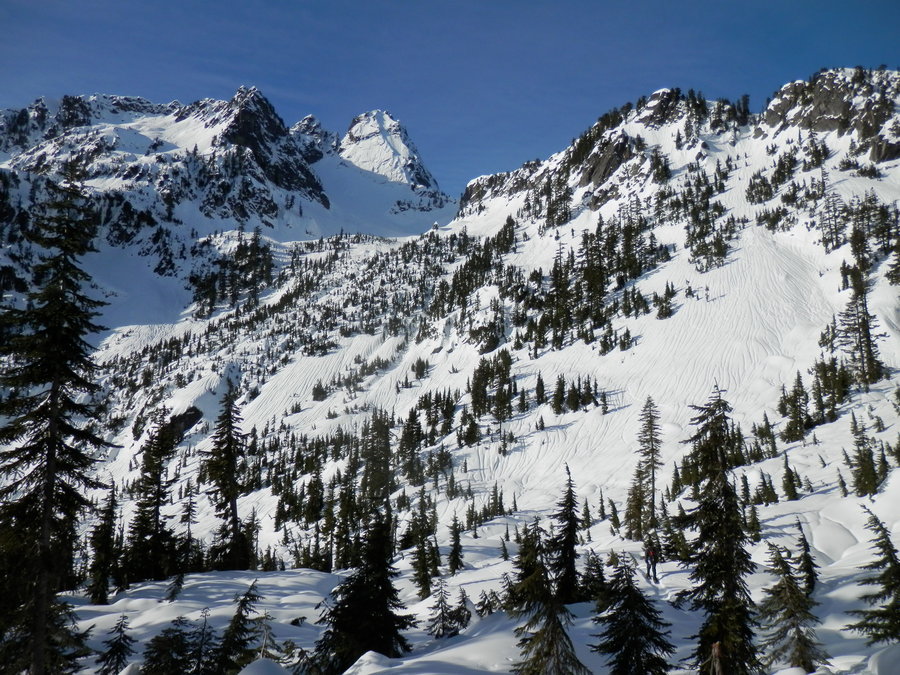
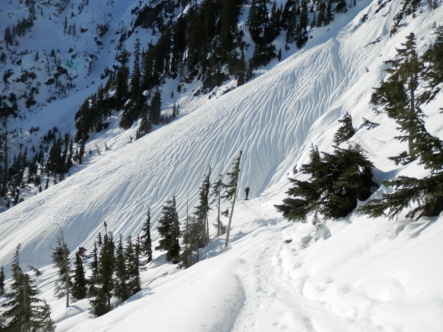
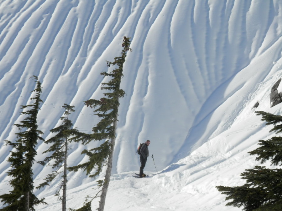
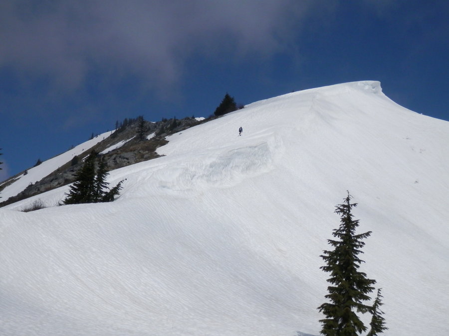
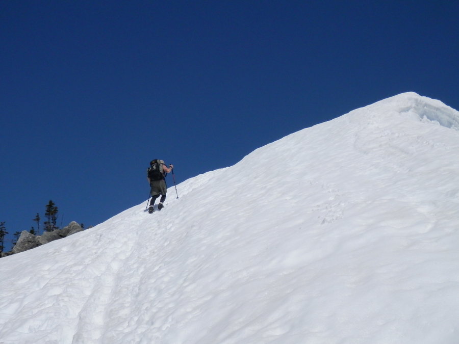
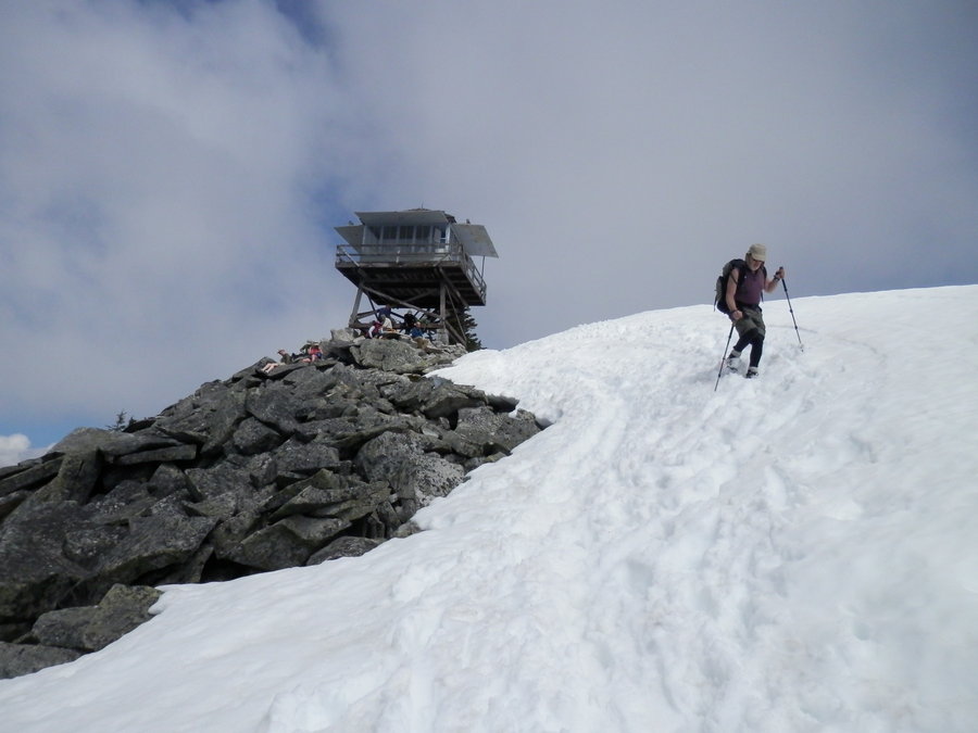
Granite Mountain
4 miles of hiking • 3750' elevation gain •
The weather was perfect. The snow was perfect. Even my digestive system was perfect. It's hard to ask for a better day than this one.
May 31, 2014

May 20, 2014

May 19, 2014

April 20, 2014

Mount Si - Old Trail
7.5 miles of hiking • 3500' elevation gain •
This is an old decommissioned trail to the top, steeper and less maintained than the official trail, but a great way to avoid the poodle herders and squeakers on a sunny weekend.
April 13, 2014

West Tiger 2 via Cable Line
3 miles of hiking • 2250' elevation gain •
Quick conditioning hike on a rainy day.
April 5, 2014

Mount Si
8.5 miles of hiking • 3250' elevation gain •
The plan was to run up Mailbox Peak and vandalize the mailbox, as I do every Spring, but it looked like the peak got a ton of new snow during the week. That trail is a slog when it's dry - only an insane Irishmen or a middle aged man with something to prove would climb it ass-deep in snow. So I decided to do Mount Si instead.
Si was compact snow most of the way, which kept the poodle herders and tennis show crowd from clogging up the summit. I pushed on to my usual turnaround point, about a quarter mile past the "Haystack," brewed up a cup of Joe and then called it a day.
March 23, 2014

Rattlesnake Ridge
5 miles of hiking • 1500' elevation gain •
The weather outlook was gloomy, so I made a quick run up Rattlesnake and had the upper ledges all to myself before the rain and the poodle herders arrived.
March 15, 2014

Poo Poo Point
3.5 miles of hiking • 1750' elevation gain •
Yep, two poops in one week. This was an annual afternoon jaunt with co-workers to shank some golf balls off the mountain. It's mainly a contest for distance, but you get bonus points for hitting other hikers, dogs, paragliders, and cars on the freeway.
B-Dog won this year's competition, but only because everyone else was too chicken-sh*t to play. He hit a pretty good one with a 3-Wood that drove the ball into the parking lot and put a nice dent in the side of a Lexus.
March 12, 2014

Poo Poo Point
5 miles of hiking • 2250' elevation gain •
B-Dog wanted to meet up at 8 am, but you have to hit this trail early if you want to beat the poodles. I was already on the summit by the time he crawled out of bed and moseyed to the trailhead. So I went back down the mountain and climbed it again. I was about to go for #3 when he finally showed up.
For a "training climb," he sure takes his own sweet time.
March 8, 2014

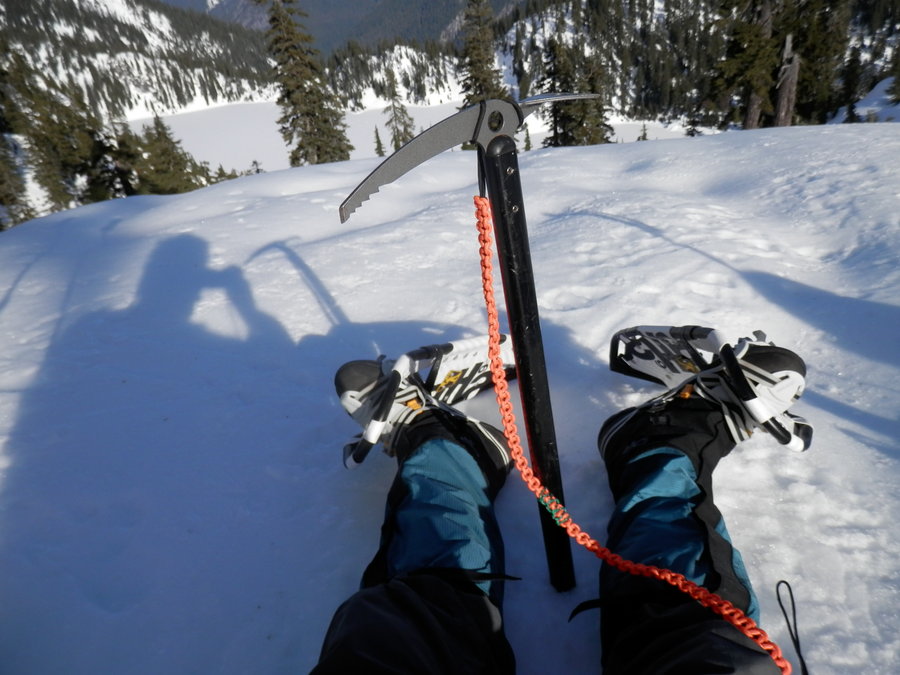
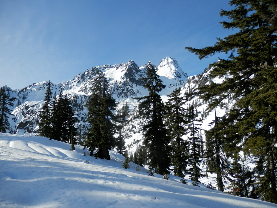
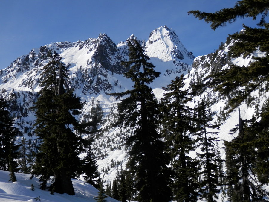
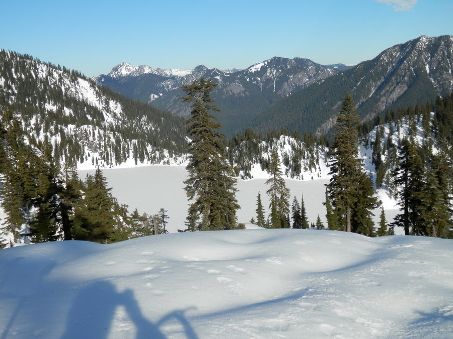
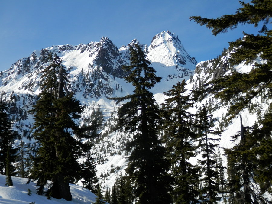
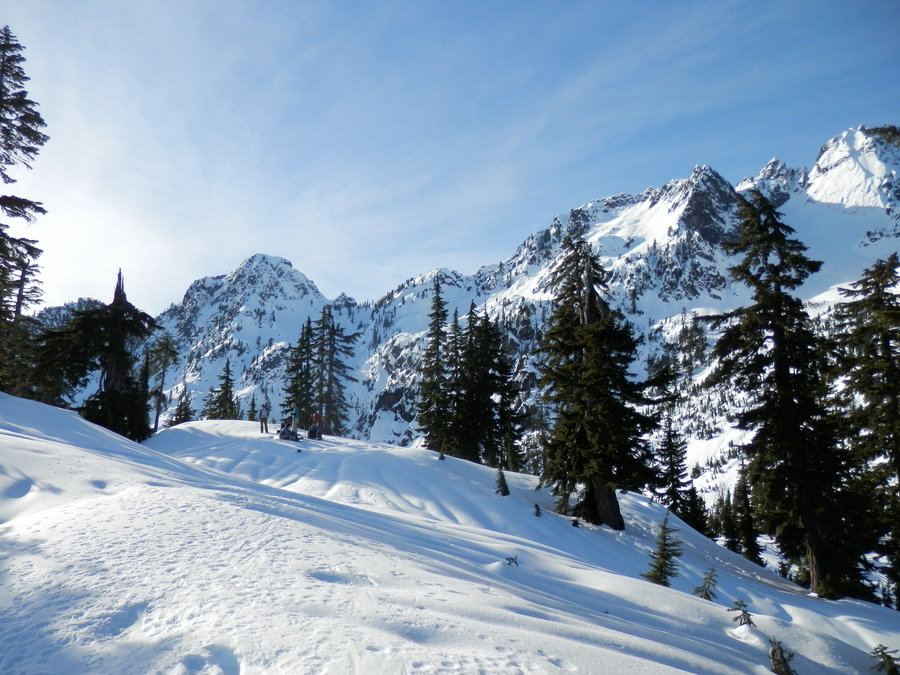
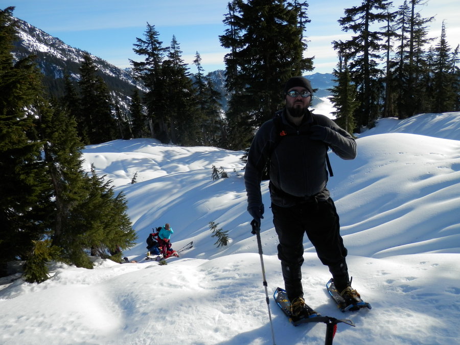
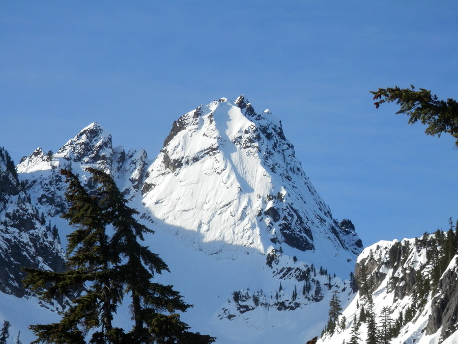
Snow Lake Divide
7 miles of hiking • 2500' elevation gain •
B-Dog dragged me up here for a little pre-season snowshoeing, but the trail is popular with cross-country skiers with bladder control issues. We hiked back to Source Lake - a little, half-frozen booger of a pond - and then decided to head up onto the ridge for a look at Snow Lake.
The snow was like concrete on the ascent, so I made like I was running out of steam so B-Dog would go on ahead and kick in some boot steps. We had lunch and hot coffee on the ridge a short time later and enjoyed the views.
The snow had softened in the afternoon sun, so we took a different route down to avoid some sketchy areas in the gulley where I could hear water rushing underneath. I opted for Yak Trax on the descent, and strapped my snowshoes to my pack. Not well enough, apparently, because one fell off and went sliding down the mountain into the aforementioned gulley. I considered leaving it there, or convincing one of the 800 Japanese tourists to pick it up, but went ahead and just glissaded down to retrieve it anyway. I hit a deep post-hole at the bottom of the slope, and wrenched my knee pretty bad.
I've been blacklisted by SAR in this state, so a helicopter ride was out of the question. I had to basically scoot on my ass like a dog with worms for the remaining 9 miles to the trailhead. Between that and B-Dogs "short cuts," we didn't get back to the car until midnight. Thankfully, the sun was still up because I didn't bring a headlamp.
January 18, 2014