2013 Trips


Wapack Trail Part 2
6.08 miles of hiking • 1750' elevation gain •
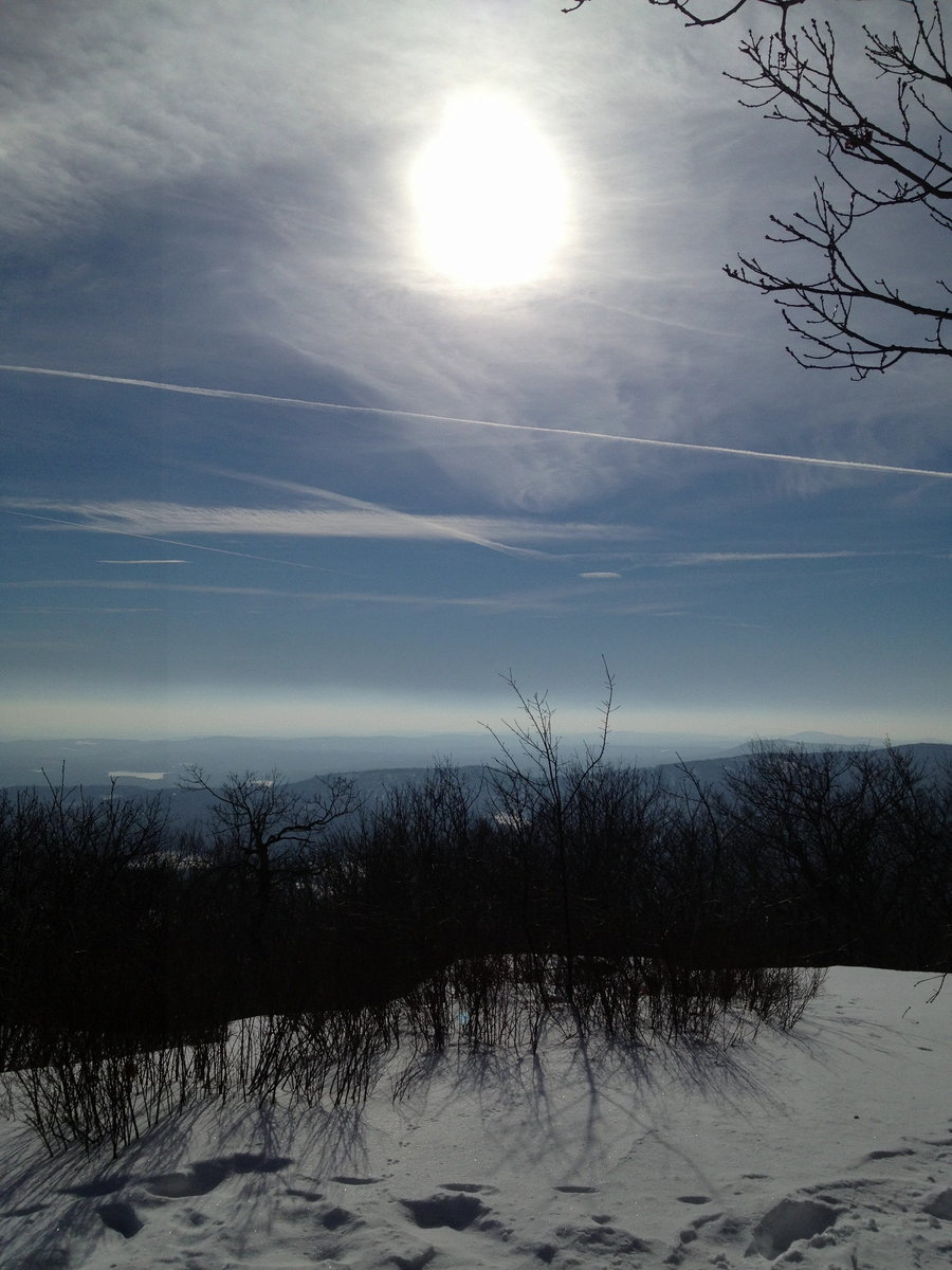
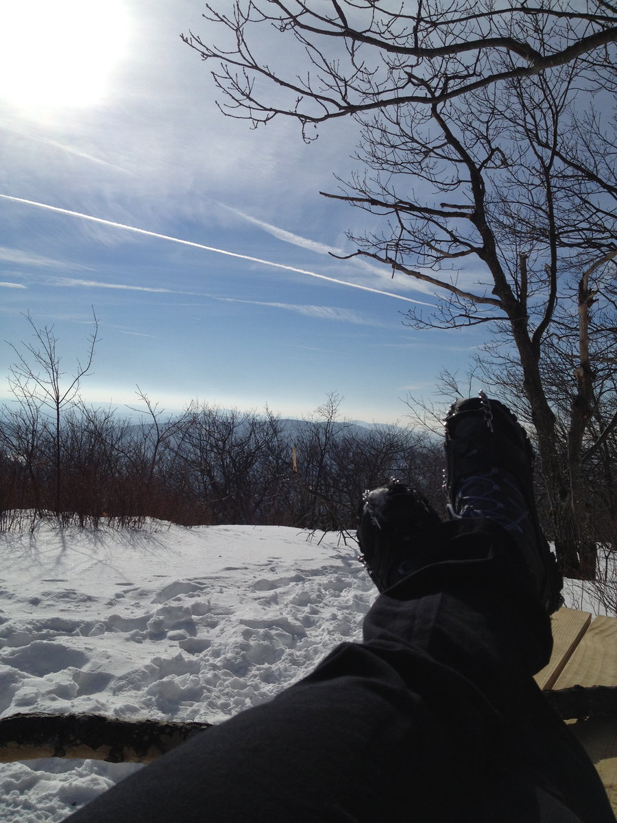
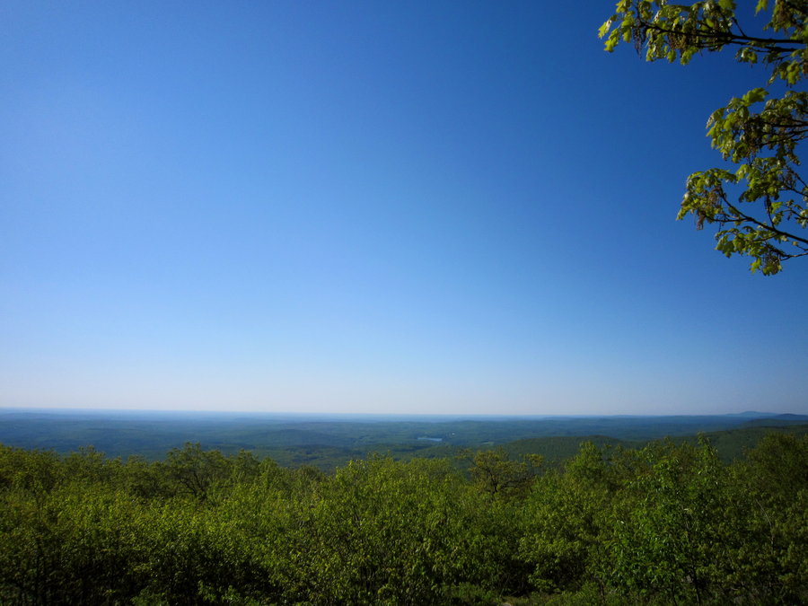
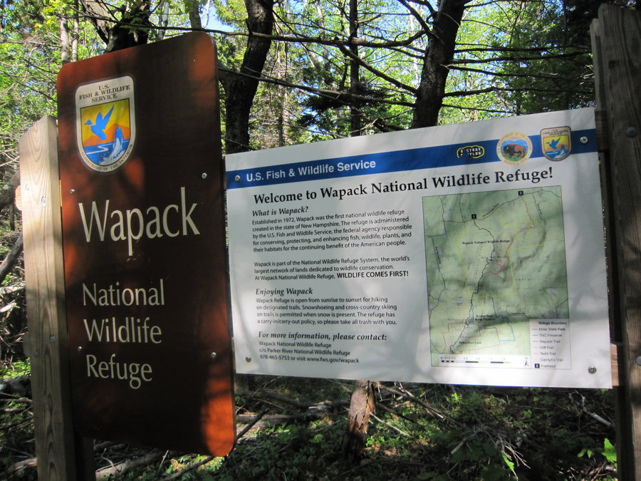
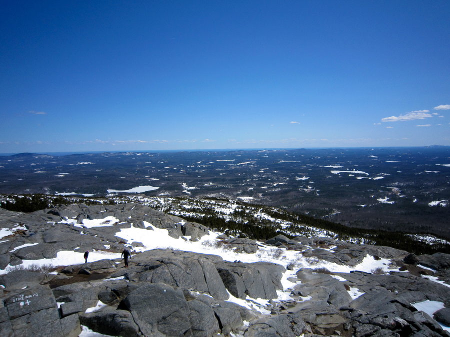
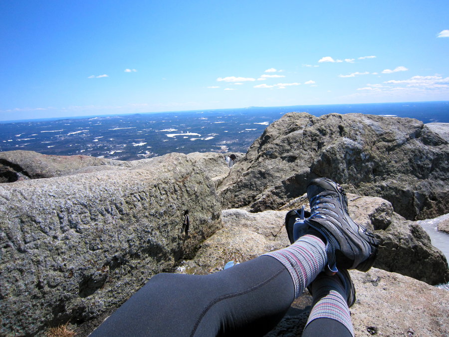
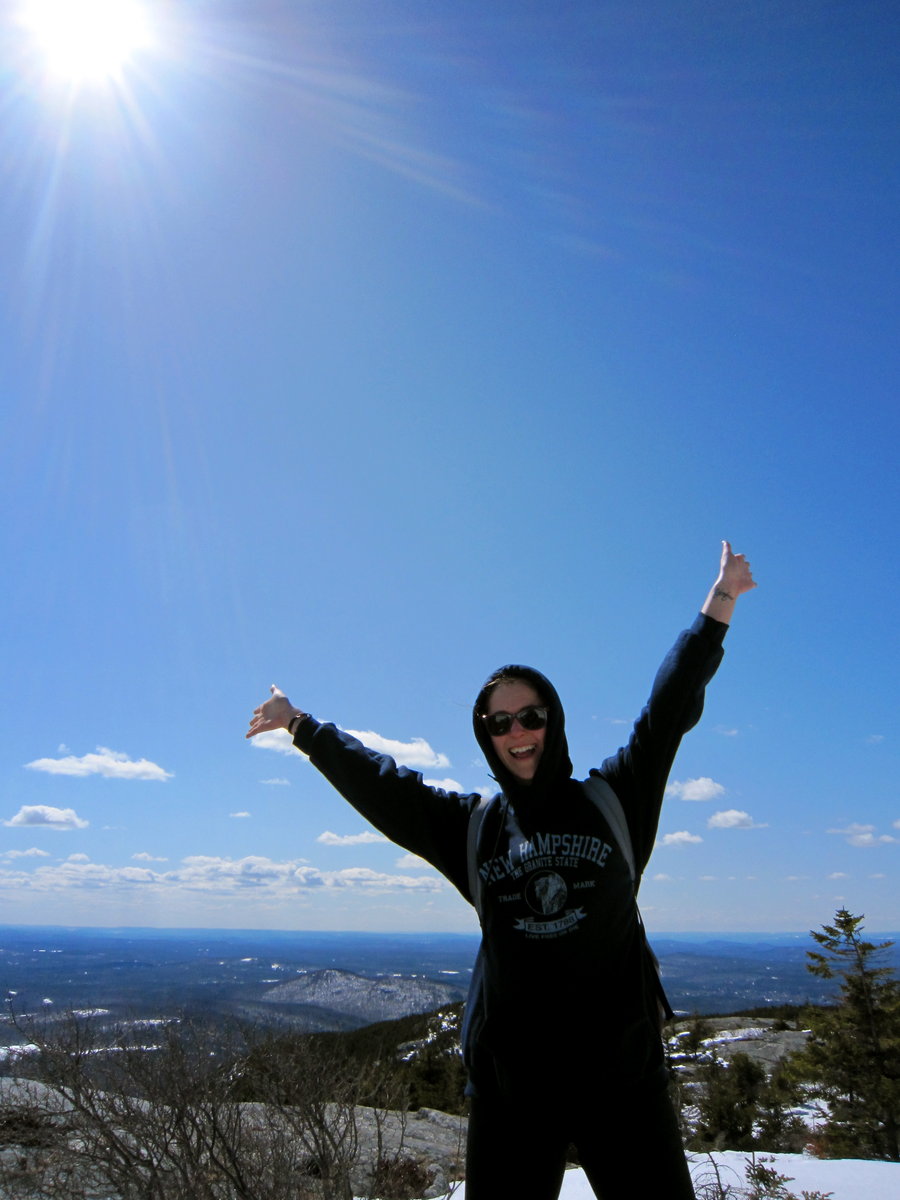
I started the last leg of the Wapack Trail at Miller State Park after delays due to weather and my graduation. The trail is well travelled, and easy enough for beginners. It's about a mile and a half to the summit, then about a 3-4 mile trek through the Wapack National Wildlife Refuge to North Pack Monadnock. North Pack is smaller, and the ascent is very gradual. The summit offers some great views, but also some obstructed ones. The descent (following the trail north) is quite steep and rocky in some places. There are a ton of roots, too, so there are a few precarious spots.
The hike from Pack to North Pack is great, but I would suggest leaving a car at each end. I have driven the distance between the two before, and it didn't seem long... but, a 5.5 hilly walk back to the car after 6 miles of hiking on already-very-tired legs wasn't the most fun I've ever had. Keep in mind that the nice weather brings out LOTS of families with kids (especially since Pack has an auto road), so if you want a quieter hike I would suggest going early in the morning.

May 27, 2013


Wapack Trail, Sections 1 & 2
16.81 miles of hiking • 2000' elevation gain •
The Wapack Trail is a 21 mile interstate trail from Mt. Watatic in Ashburnham, MA, to North Pack Monadnock in Greenfield, NH.
The trail is broken up into three sections. I planned to do about 13 miles the first day since the second day had rain in the forecast. The trail is easy to follow up Mt. Watatic, but the trail guide was really unclear on how to continue north towards NH. According to the guide, you follow an unmarked trail and cross under an abandoned ski lift, then re-enter the woods through a side trail after 1.3 miles. The problem was that there were about 5 unmarked trails, and I saw no abandoned ski lift. After losing about an hour and a half, and adding ~4 miles, I decided to retrace my steps down the trail I came up. The Mid-State Trail goes around Mt. Watatic and links up to the Wapack again, so I figured that would be my plan of attack. Either the trail guide is off or the trail was recently re-routed, because to follow the trail north to NH you have to take the same trail back and then pick up the trail North about halfway down.
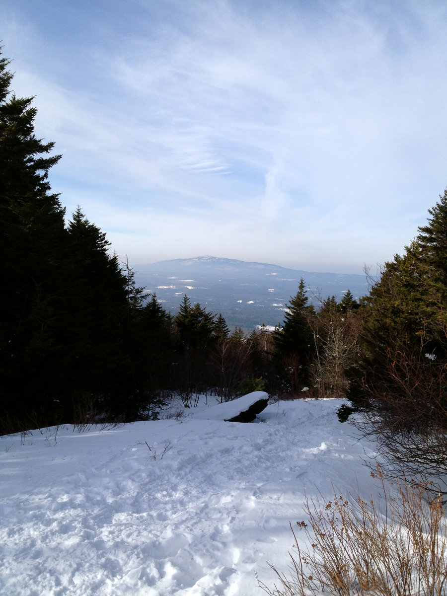
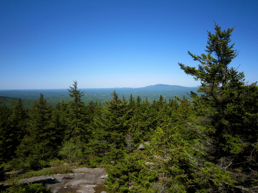
After getting back on track I followed the blazes instead of relying on the trail guide. The trail levels out and goes through an area that's being cleared (for what, I don't know, but it looks like construction). After a few miles, there is a strenuous climb up Pratt Mountain. The trail descends, and then quickly ascends up New Ipswich Mt., which provides great views of Mt. Monadnock and the surrounding areas.
After a few more miles and another modest mountain, the trail crosses into the Windblown Cross Country Ski Area. There are shelters that hikers can access if they call ahead to the owner. The trail levels out after a gradual descent, then crosses through some power lines before suddenly popping out into civilization (Rt. 123/124). You have to cross the (busy!!) road, and take the first left onto a dirt road. There is a sign that indicates you're on the Wapack, but for about 1-2 miles there are no trail markers. I just followed the path and eventually linked back up to the yellow blazes.
Overall, this was a very secluded hike. There were two groups of people on Mt. Watatic, but then I didn't see anyone until I reached Rt 123/124. Although the mountains aren't particularly challenging, the distance and seclusion of this trail makes it unfit for a beginner. I had a few moments when I thought "why the hell am I doing this alone?". Two days of thunderstorms in the forecast pushed off me finishing the last section. I have two more mountains, around 4.5 miles of trail, left to go!
May 9, 2013


Mt. Monadnock
5 miles of hiking • 2000' elevation gain •
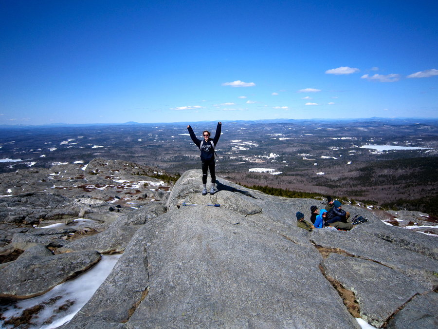
Hiking Mt. Monadnock was a huge accomplishment for me. I had a knee injury in 2010 that took almost a year to fully recover. I spent a few months getting back in shape and started hiking again in 2012. I often hiked the smaller Monadnock's (Pack and North Pack), and I could always see Monadnock from the summits. I made it a goal to hike Monadnock, and I finally reached that goal!
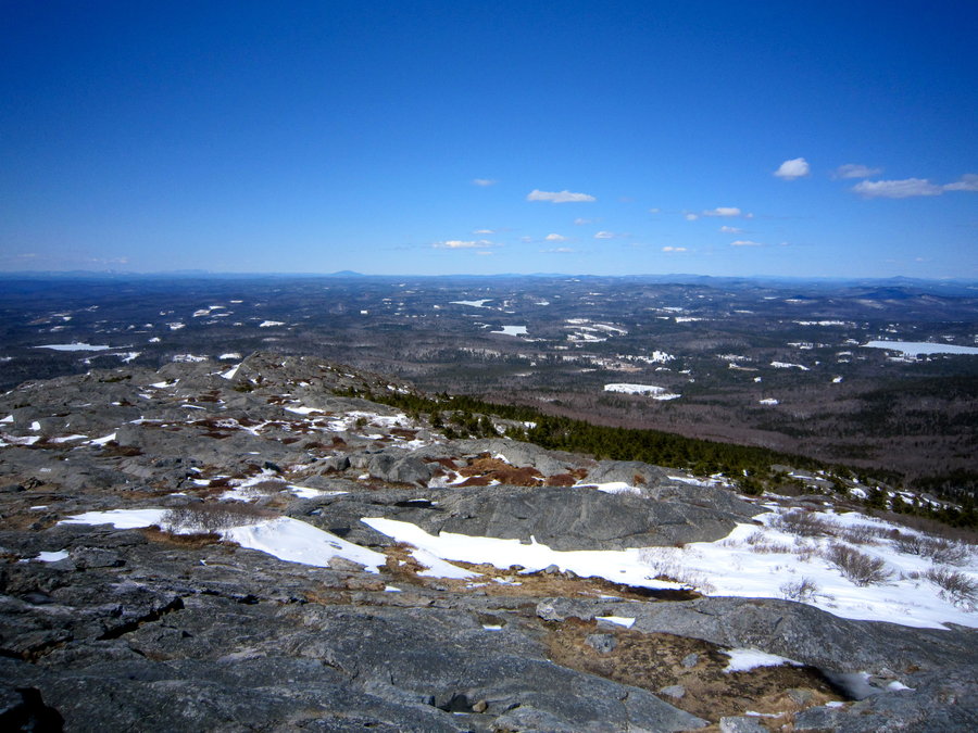
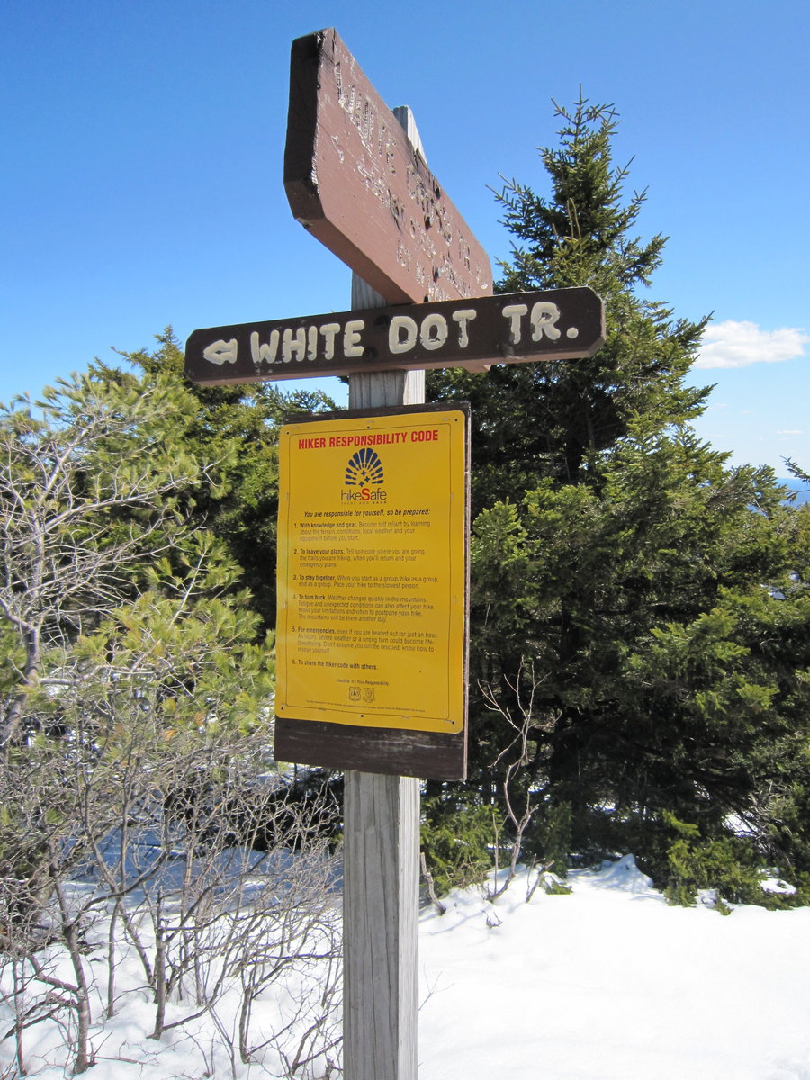
I went on an absolutely perfect day - 50 degrees, sunny, and very blue skies. The parking lot was almost full. I've read that this is the second most hiked mountain in the world, so I wasn't surprised to see that it was busy. I passed a lot of groups on the way up, but there was little congestion. I took the White Dot Trail up and the White Cross Trail down (more on the descent later). The White Dot is the most direct route to the summit, just over 2 miles, and is quite unforgiving. There are many areas that are all rock and can be a bit precarious. By the time I got to the halfway point I was certainly feeling it.
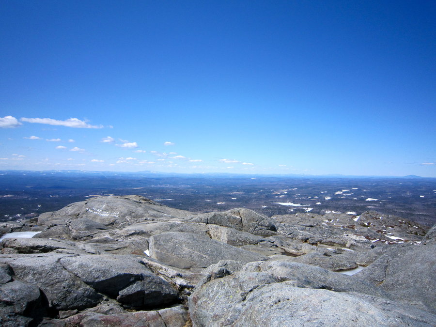
There are great viewpoints along the way. Many of the openings are false summits - I thought I was there about 3-4 times before I actually was! Don't get ahead of yourself, because when you round the corner and see the actual summit you'll realize you're "so close yet so far". The peak is all exposed rock and can be a bit of a scramble to the top. The top has amazing views. On a clear day you can see Mt. Washington, all of the Green Mountains in Vermont, and the Boston skyline.
The warmer weather has turned much of the snow into slush, which made for the least pleasant descent I've had since I got back into hiking. There are still some deep areas right off the path, so if you take a wrong step you can be up to your knee in snow. Getting up without extra traction was okay, but going down was a different story. I took the White Cross Trail down because it promised to be the least steep descent, but it was certainly steep in several areas. I was essentially doing a semi-controlled slide for most of the way... or as I called it, skiing without skis. My feet slid out from under me four times. For someone who has one bad knee and one worse knee it was certainly a nerve-racking trip down. I was very thankful to have poles with me. DEFINITELY use waterproof boots as well. My boots are treated to be waterproof but after about an hour of sliding through slush I had soggy feet (ugh!). I saw a lot of people going up without proper footing (Chuck Taylor's, running shoes) and no poles, so I'm curious how they fared getting down.
Overall this was a great hike. It was a bit strenuous, but I didn't realize that I was on day 1 of a upper respiratory infection so that certainly didn't help. I've seen some complaints online that the mountain is much harder than it seems. I wouldn't go up this mountain as an unexperienced hiker, but anyone with some experience should be fine. That being said, don't let the short mileage fool you - it does get strenuous in some places. I made it round trip in just about 3 hours with about 20 minutes at the top.
March 30, 2013


Short Hike out to Lower Falls & Bridge
1.77 miles of hiking • 0' elevation gain •
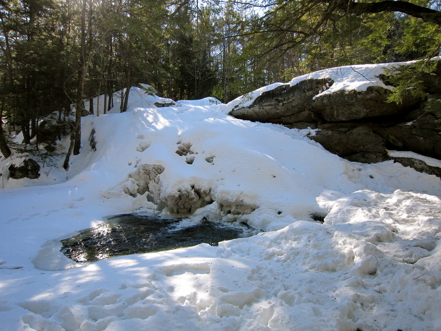
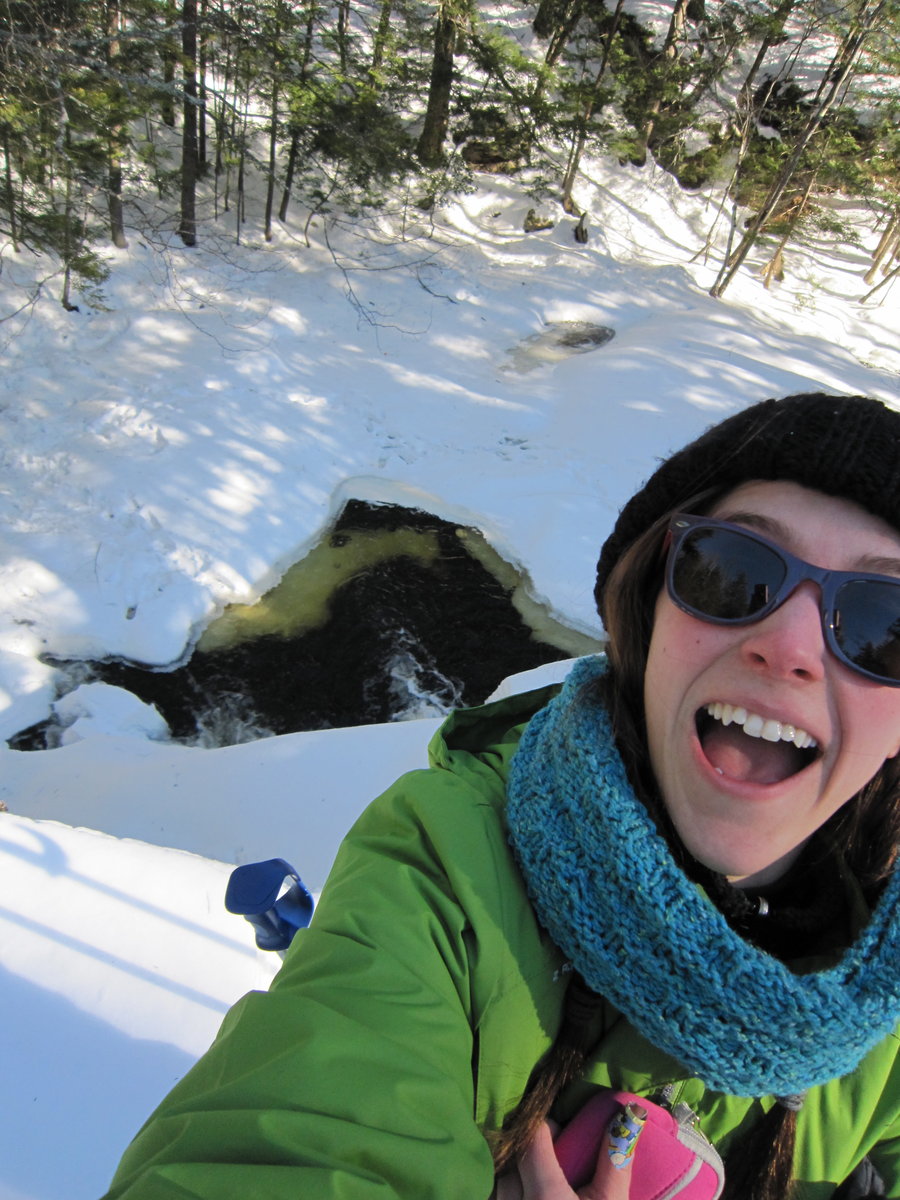
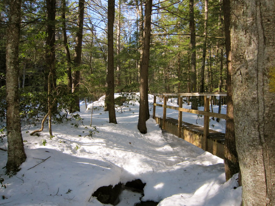
I had planned on hiking up Monadnock during my short weekend home, but the killer winds and below freezing temps were not ideal. On my last day in NH I decided to do a short hike out to Purgatory Falls to see what it looked like after getting so much snow. The entire trail is 3 miles end-to-end, with three main falls (upper, middle, and lower) and many other cool things to see. I only had time to make it to "the Bridge" before having to turn around and make it in time to catch my bus.
I was glad to have spikes on my boots, despite the fact that the Purgatory Brook trail is mostly flat terrain. The snow was well packed but there was a layer of ice just underneath. I could tell someone had recently gone through with snowshoes, but other than that it was pretty untouched. It was refreshing to be the only one out there - though this place isn't as popular as some other swimming holes it can get a bit crowded in the warmer months. I can't wait to get back there and hike the entire trail!
February 18, 2013


 2
2
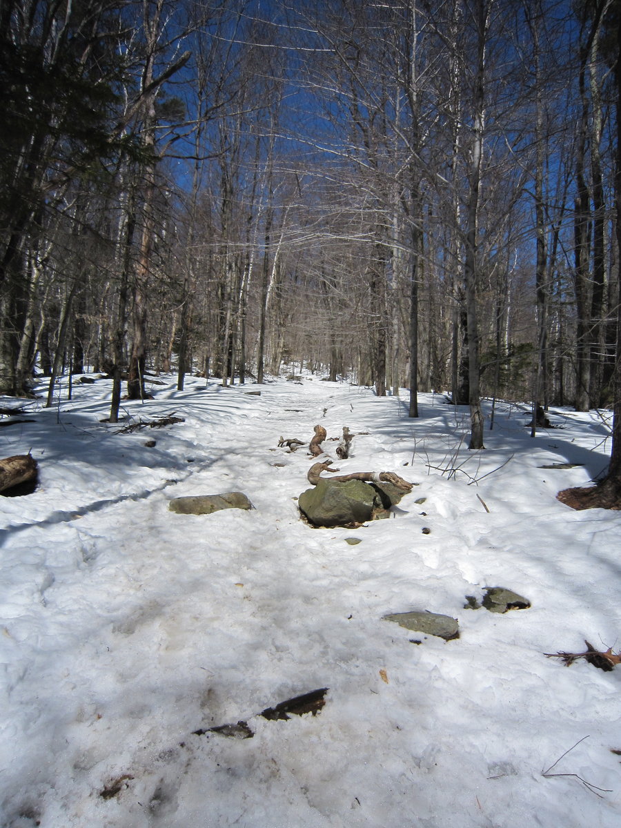
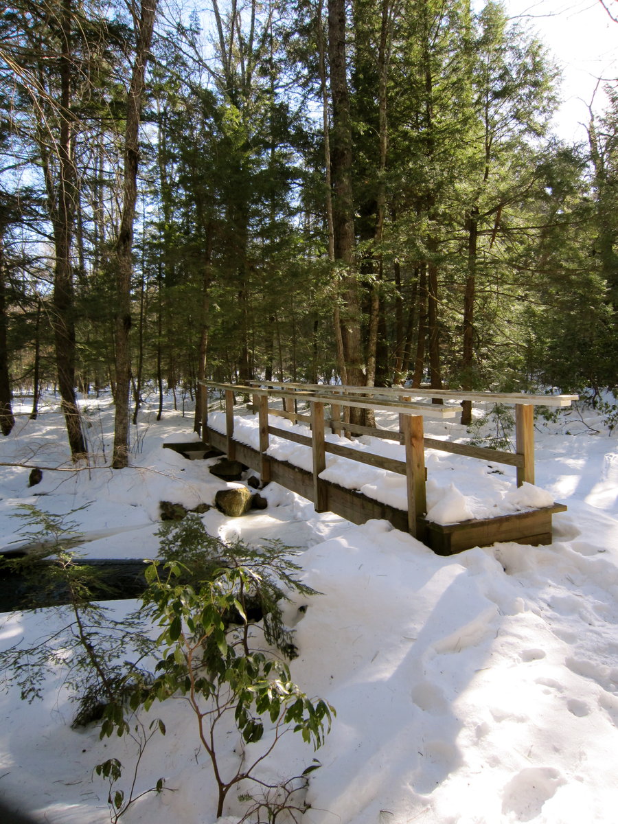
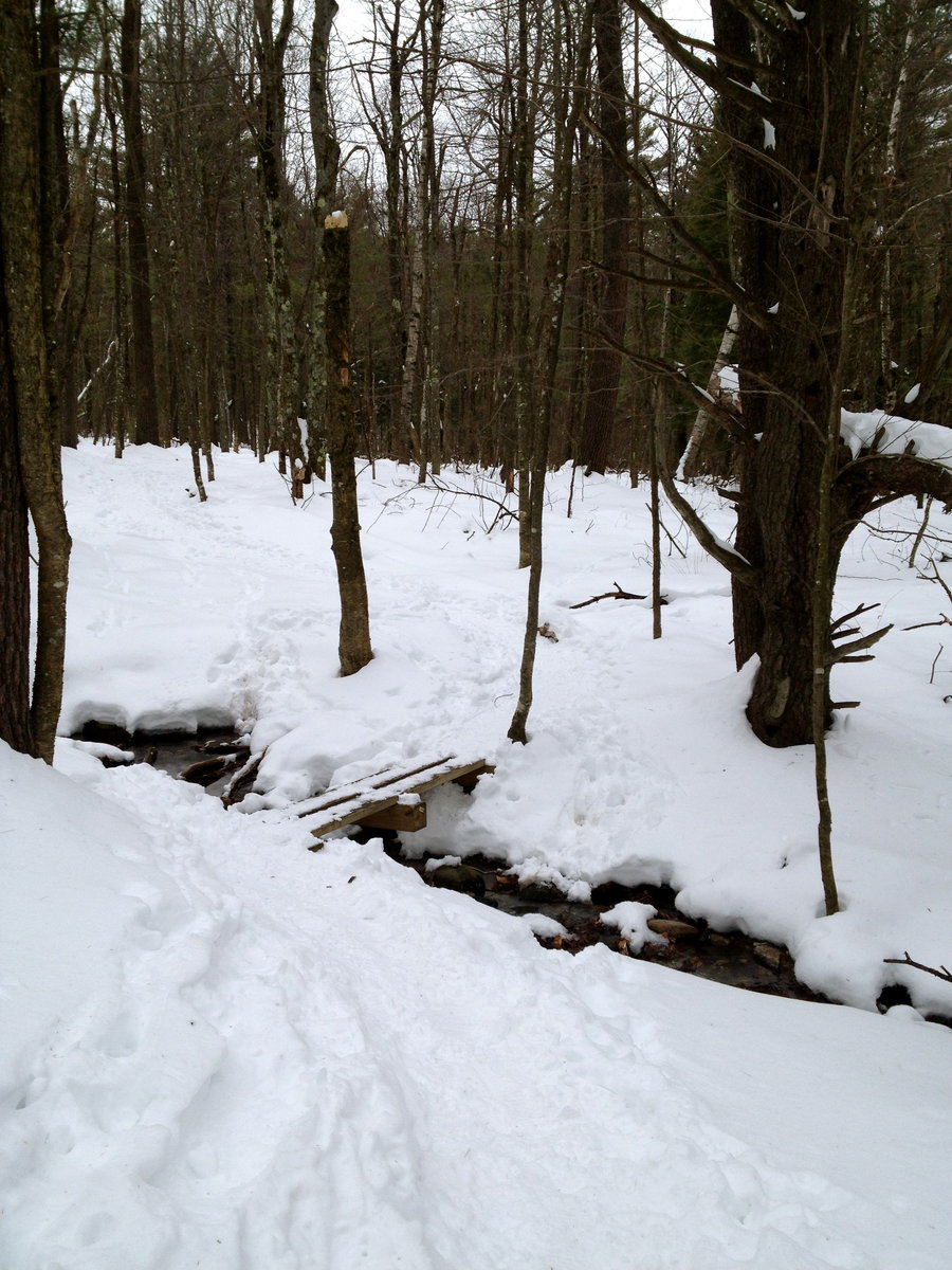
North Pack Monadnock - Winter
3.2 miles of hiking • 1500' elevation gain •
This was my first time up North Pack Monadnock. I typically hike Pack Monadnock, but I wanted a change since I have been up Pack many times. North Pack Monadnock is the last mountain of the 21-mile Wapack Trail. I was the only car in the parking lot and did not see anyone else on the mountain. Note - the parking lot has not been plowed and my car (Ford Explorer) was sliding around a lot! Old Mountain Rd where the base is located is not well plowed either, so you may have some trouble with a car that's not great in the snow.
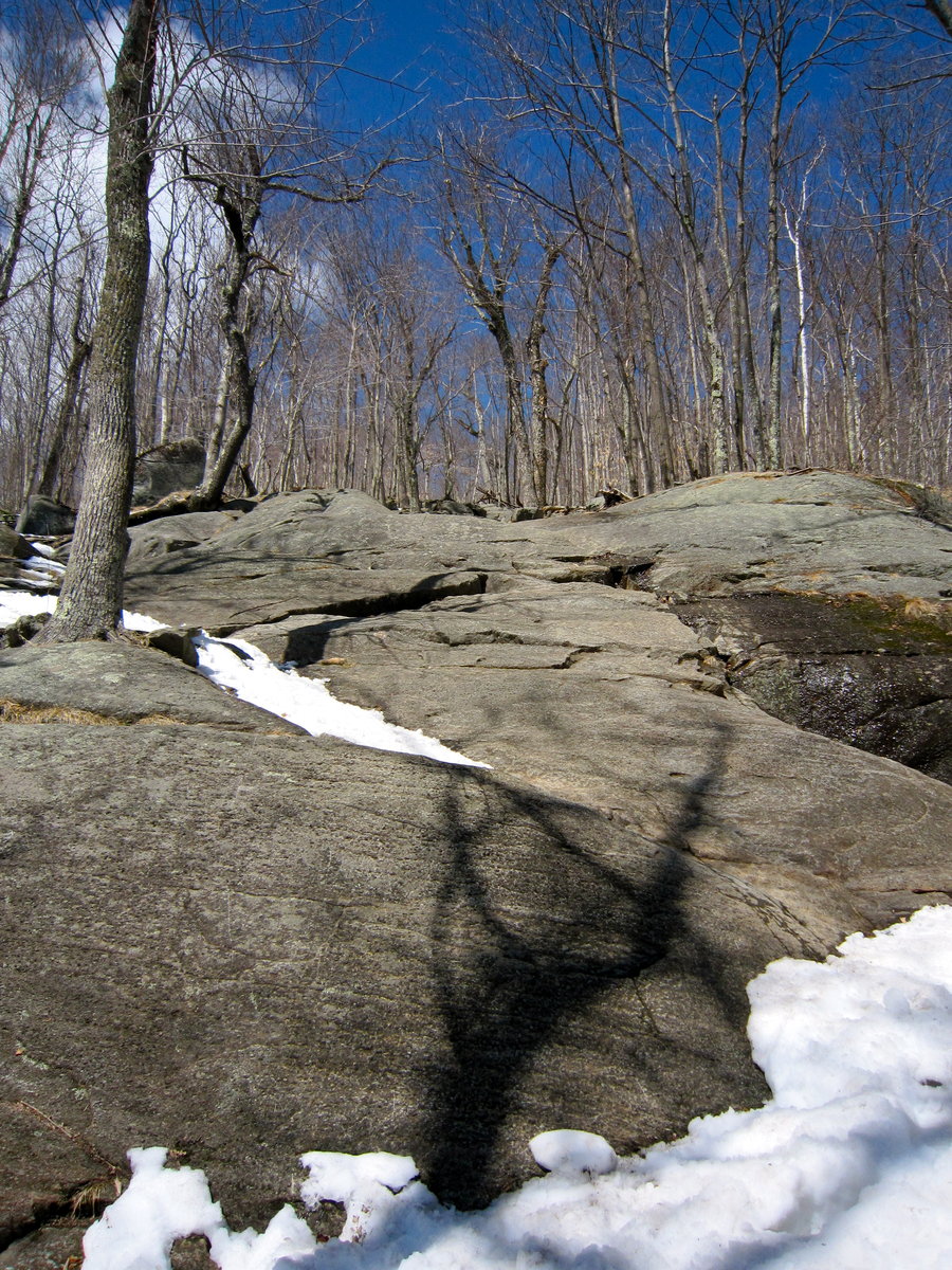
I took the Wapack Trail (yellow blazes) up and down (not a loop hike). The trail is snow packed and easy to follow. Some of the blazes are quite faded, so I was grateful for the snow trail! There are several little streams to cross, most of which have man-made bridges to use. There are several great viewpoints along the way. The ascent gets steep fairly quickly after the first viewpoint and stays that way until the summit.
While snowshoes are not needed, crampons are definitely necessary. I used my Freesteps crampons and had ski poles, and was very grateful for both! There are some big icy patches hiding beneath the snow. I had no big problems, but it would have been much more difficult without the added traction and support.
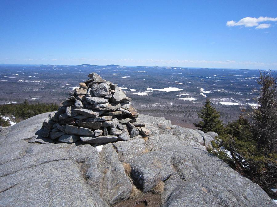
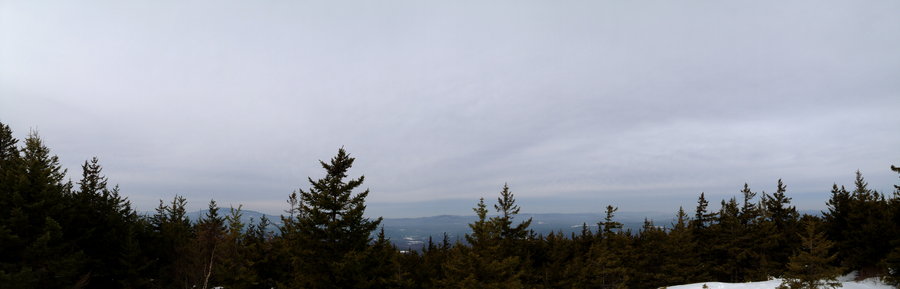
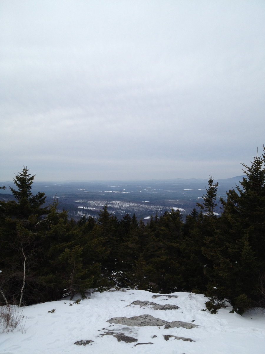
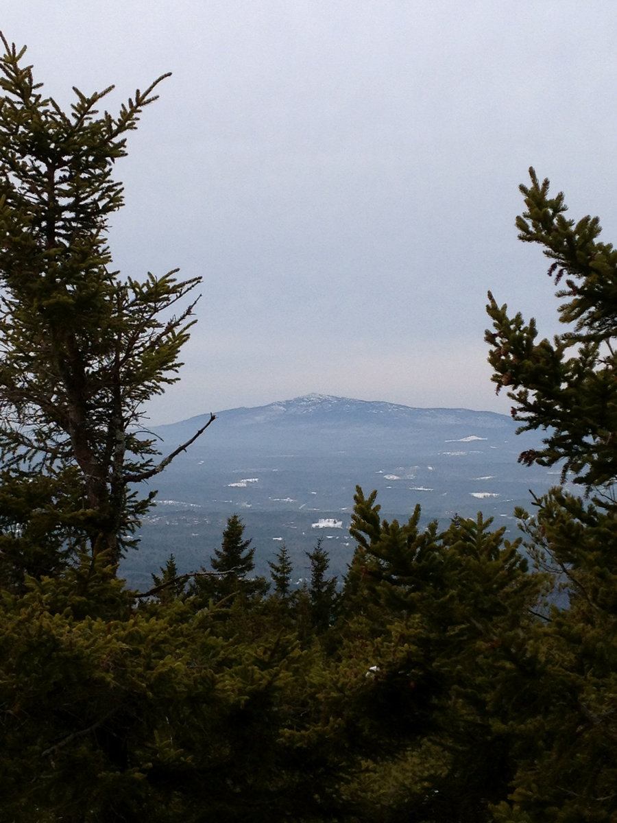
The summit has great views of Pack Monadnock, Monadnock, and the surrounding areas. There is some obstruction from trees, but there's big rocks to stand on and get a better view.
This hike has a much more secluded feeling than Pack Monadnock. There is no auto road like there is on Pack, so I assume the warm months are less busy as well (the summit of Pack is often overrun by families and groups of kids). Overall, it was an easy-moderate climb.
January 9, 2013


Winter hike up Pack Monadnock
2.5 miles of hiking • 1500' elevation gain •
This was my first winter hike up Pack Monadnock, a mountain I frequently hike in the spring/summer/fall. I went up the Wapack trail (yellow markers - walk a little ways up the auto road and look left for the yellow blazes). It was a beautiful day, warm for a New Hampshire winter day. It was also very clear, which provided great views. The trail was packed snow and easy to follow - almost easier than navigating rocks during the warm season. Awesome views at the summit. I took the Mariom Davis trail down (blue blazes), which has few difficult areas. It is definitely easy enough for a beginner with the correct gear.
Speaking of gear, I would highly suggest wearing crampons. I used Freesteps crampons, which are nothing too fancy ($40 at EMS) but definitely helped. There are some icy spots hidden underneath the snow that could pose big problems on the descent for someone without extra traction. I didn't have any trekking poles but a sturdy stick worked fine. I wore Under Armor Cold Gear top and bottom with my big winter jacket and was almost too warm most of the time. Windproof and waterproof layers are necessary, especially at the summit where it is windy.
Miller State Park is not staffed in the winter, but there was a man that came up on the auto road on a Bobcat and seemed to be checking up on the place. There were 3-4 cars in the parking lot but I only passed one group of 2 on the trail, no other hikers at the summit. It is a world of difference from the busy summer months!
Overall this is a great winter hike. It's definitely easy enough for a beginner as long as they have the proper gear. There are several trails to choose from and the views are great!
January 8, 2013