

2012 Trips


July 25, 2012

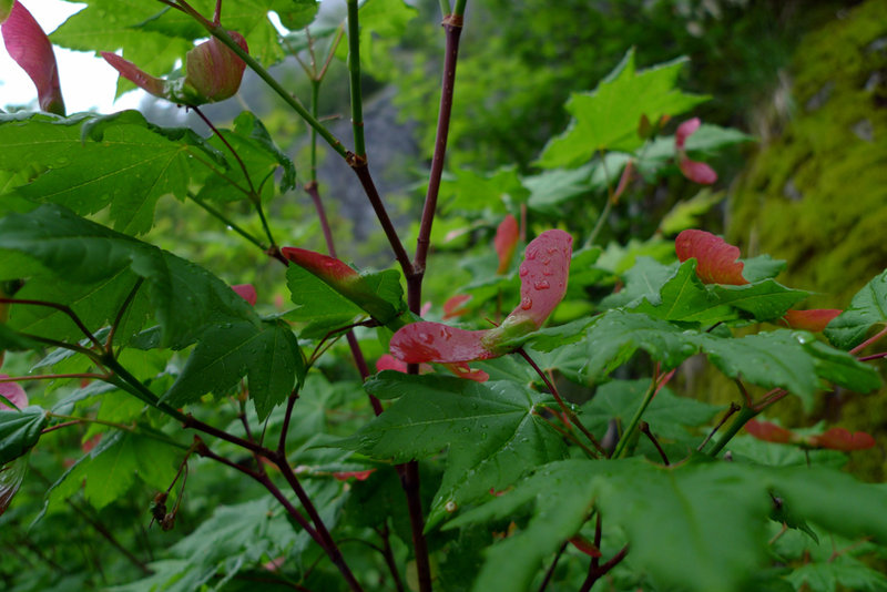
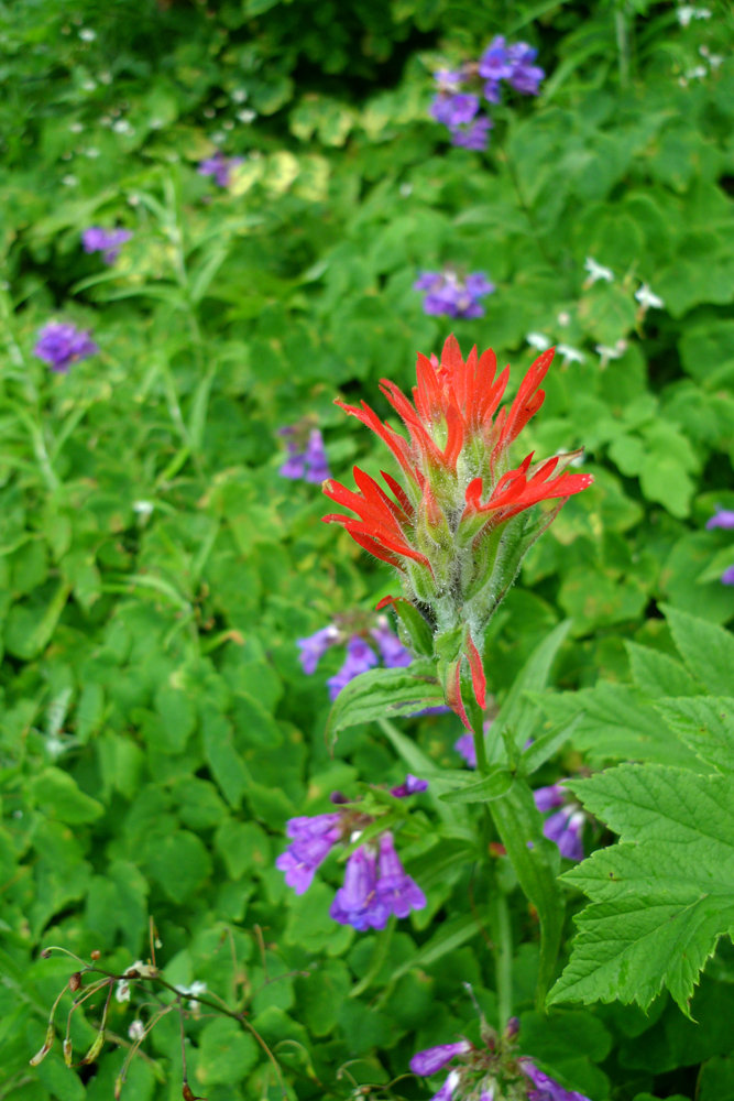
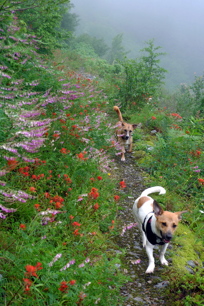
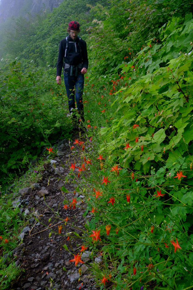
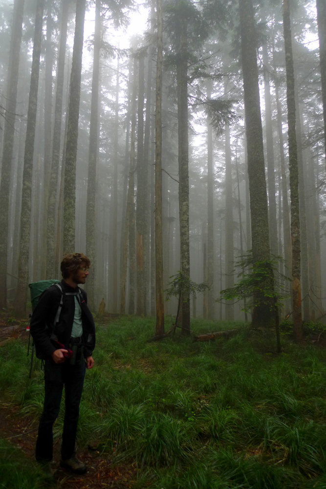
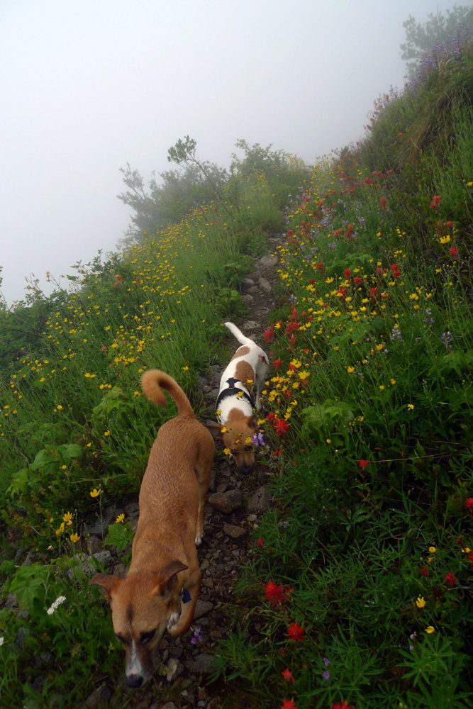
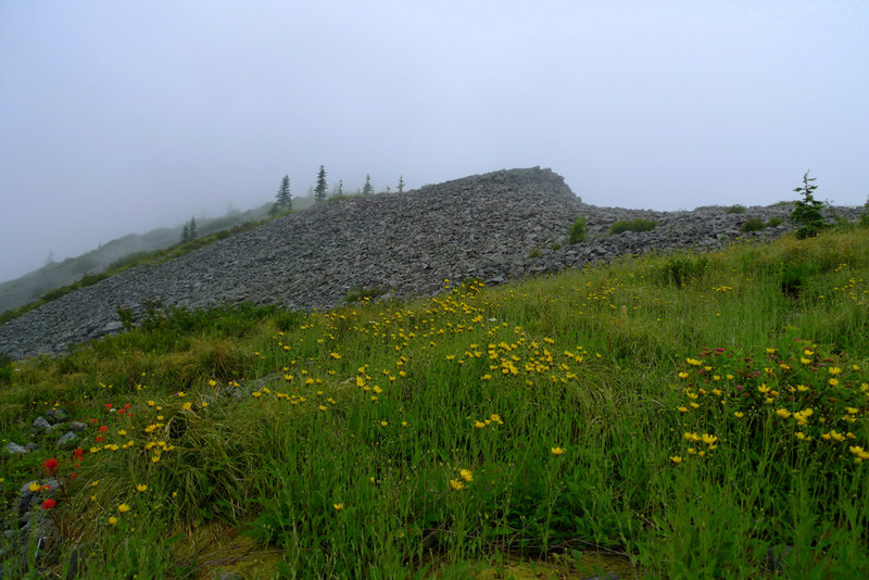
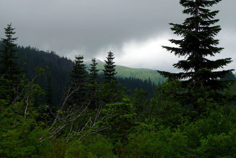
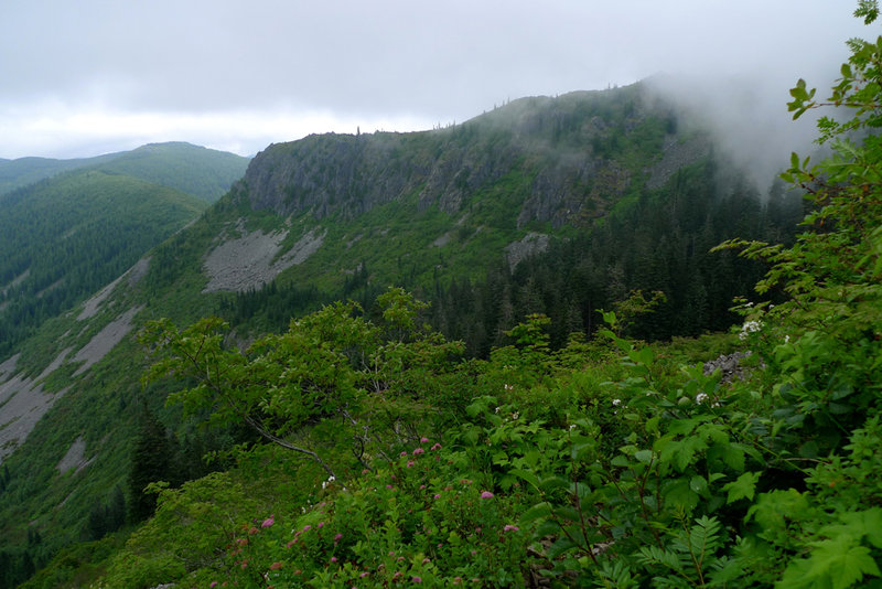
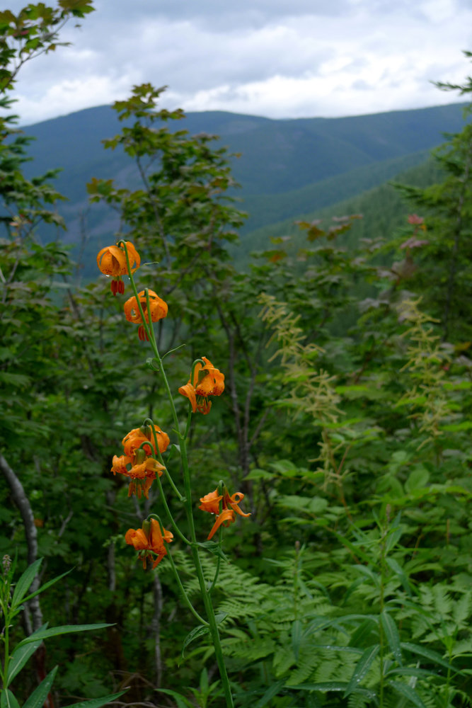
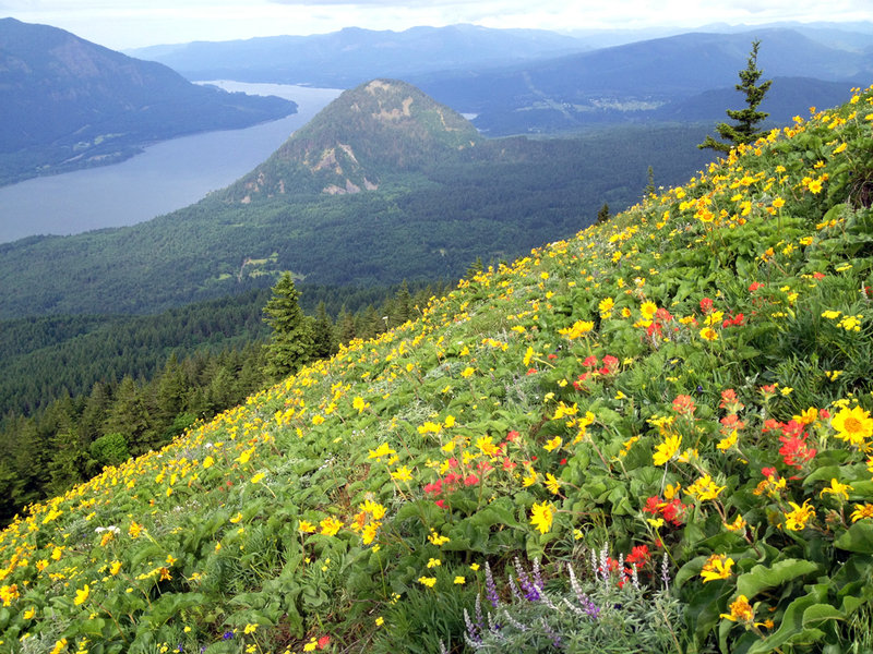
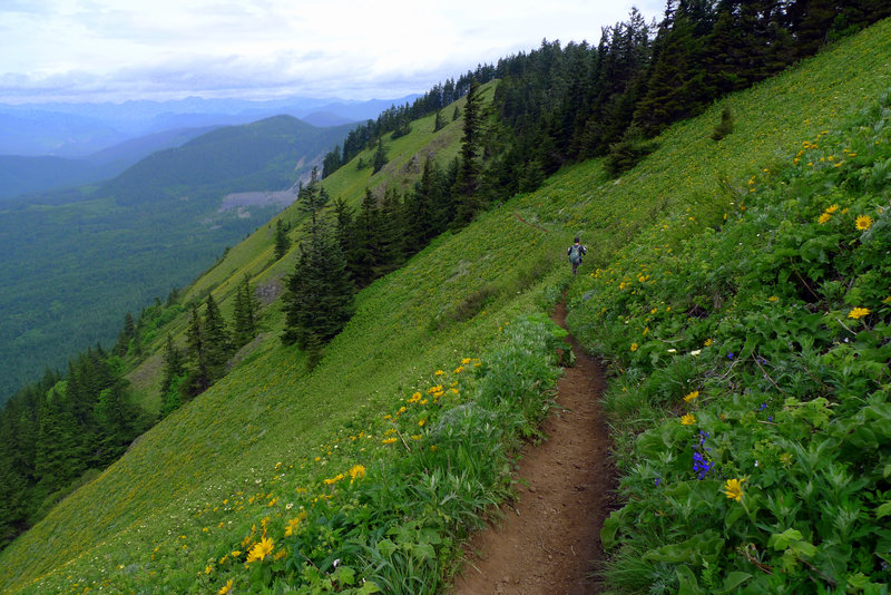
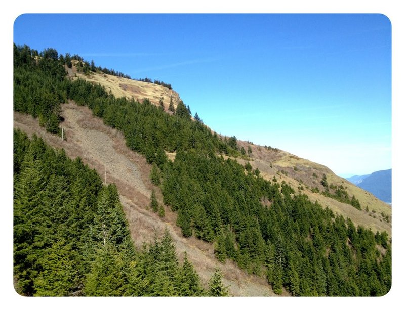
Silver Star via Bluff Mtn
10 miles of hiking • 1000' elevation gain •
The clouds never burned off. Still a beautiful hike filled with wonderful wildflower displays and some canyon views. Also quite a bit of solitude.
July 20, 2012


 2
2
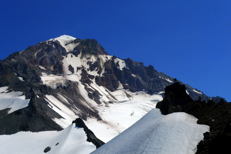
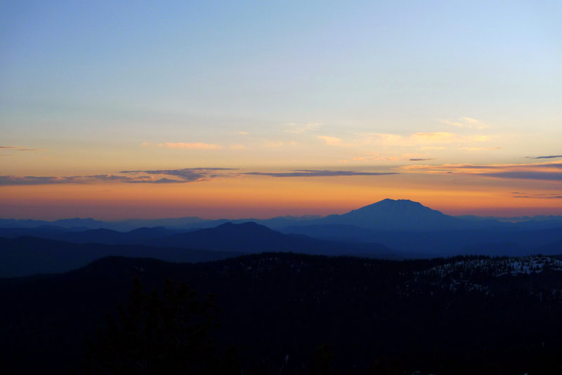
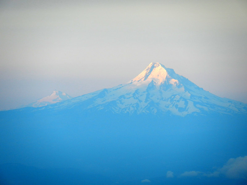
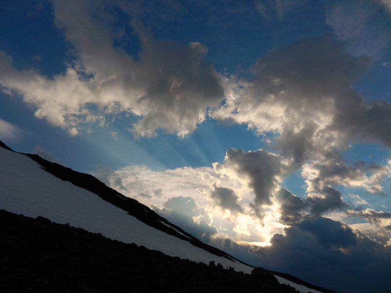
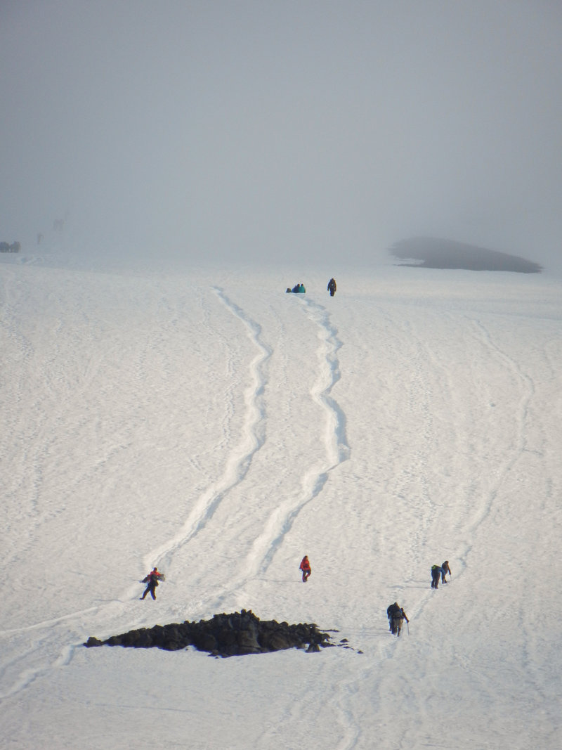
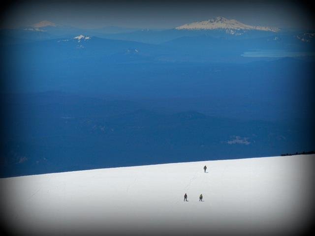
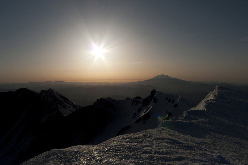
Lunch Counter on Mt. Adams
7 miles of hiking • 3750' elevation gain • 1 night
Left Cold Springs TH @7:30p and arrived at the Lunch Counter @1:30a. With my asthma acting up and exhaustion, I opted to sleep and decide about summiting in the morning. With the ominous clouds and hail shower, I decided to hang out and enjoy watching the cloudscapes and climbers. Beautiful night on Mt. Adams!
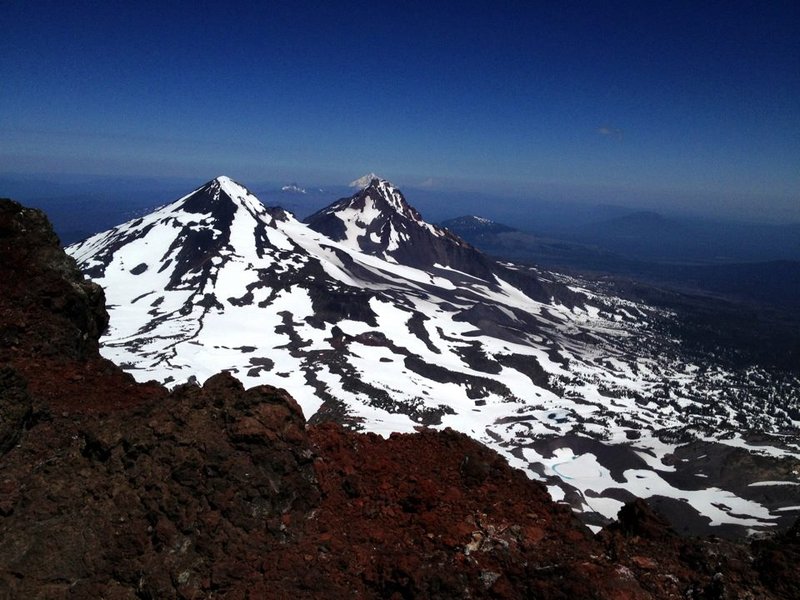
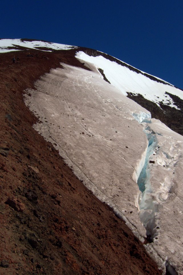
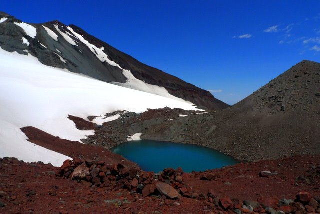
July 13 – July 14, 2012

South Sister via Devils Lake TH
12 miles of hiking • 5000' elevation gain • 1 night
hit the trail @11p on friday night and reached the summit just before high noon. ideal conditions, though i would have appreciated a few more clouds to block the sun. the exposure and reflection off the snow on the descent was punishing. got back to the TH at ~5p. EIGHTEEN hours on the trail (including a 2.5 hr nap).
July 6 – July 7, 2012


 1
1
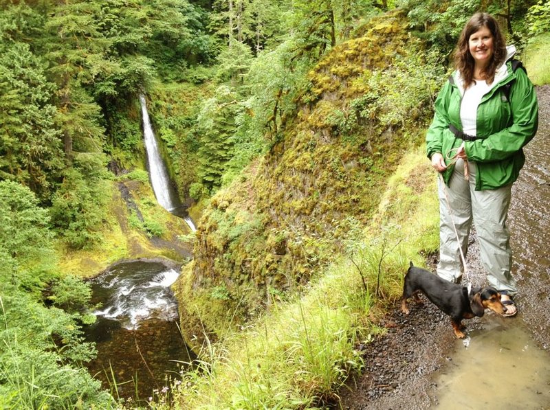
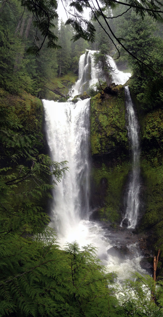
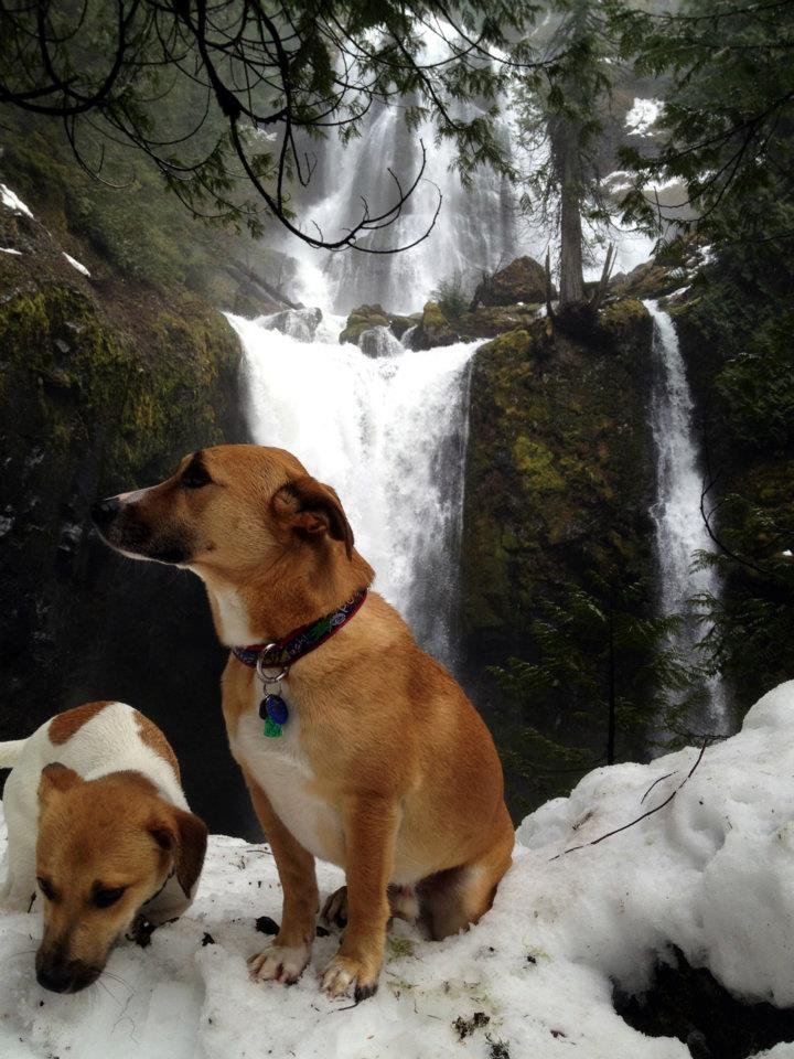
Falls Cr Falls Loop
6.5 miles of hiking • 1250' elevation gain •
First car at the TH @8am. Forty-five minutes later, we had the falls all to ourselves. The scramble up to the top tier was fun! Great campsites in this area. Would like to return and explore circuit of trails. Perfect hike for a rainy day with time constraints (had to be back in town by 1p).
June 9, 2012

Dog Mtn Loop
7.5 miles of hiking • 2750' elevation gain •
Arrived at TH @6:30a - sixth car in the parking lot. By the time we returned @11:30a, no spaces were open and cars parked along Hwy 14. LOTS of wildflowers blooming.
June 3, 2012

Saddle Mtn
5 miles of hiking • 1500' elevation gain •
Stopped off to hike up Saddle Mtn on our way back from the coast. Even with clouds, we could see Astoria and the ocean. We even had the summit observatory to ourselves for nearly 15 minutes.
May 27, 2012

 1
1
Elk -> King's Mtns Loop
10.5 miles of hiking • 3750' elevation gain •
http://portlandhikersfieldguide.org/ph/forum/viewtopic.php?f=8&t=9530
May 19, 2012

 1
1
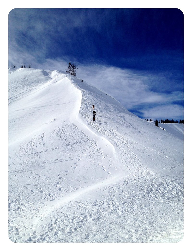
Mt. St. Helens Summit
12 miles of hiking • 5750' elevation gain • 1 night
http://www.portlandhikers.org/forum/viewtopic.php?f=8&p=81211
May 11 – May 12, 2012

Mt. Defiance
12 miles of hiking • 4750' elevation gain •
http://www.portlandhikers.org/forum/viewtopic.php?f=8&p=81211
May 5, 2012

Nick Eaton Ridge Loop
13 miles of hiking • 4000' elevation gain •
http://www.portlandhikers.org/forum/viewtopic.php?f=8&t=11453 Took #447 the entire way instead of #406 -> #476; guestimating that this saved one mile or so.
April 29, 2012

Table Mountain
8 miles of hiking • 3250' elevation gain •
http://www.portlandhikers.org/forum/viewtopic.php?f=8&t=11370
April 22, 2012

Falls Creek Falls
11 miles of hiking • 1250' elevation gain •
http://www.portlandhikersfieldguide.org/ph/forum/viewtopic.php?f=8&t=11106 FS Road 3062 gated for winter, which added approx. 5 mi RT (was great for xc skiing).
March 18, 2012

 1
1
Boy Scout Ridge Snowshoe
5 miles of hiking • 1750' elevation gain •
http://www.portlandhikersfieldguide.org/ph/forum/viewtopic.php?f=8&t=10743
February 4, 2012

View trips from: 2012