Trail Photos
Photos from Jefferson Park/Park Ridge via S Breitenbrush
September 1 to September 3, 2012
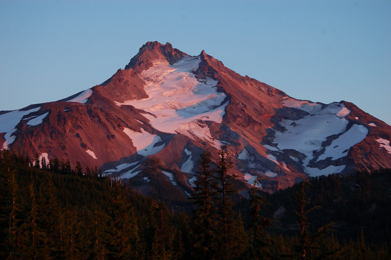
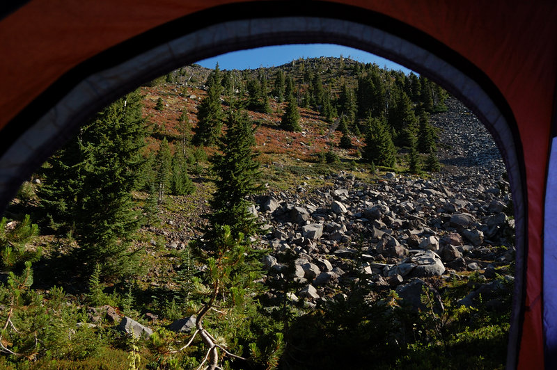
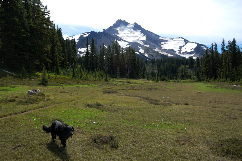 Meadows along upped Breitenbrush trail
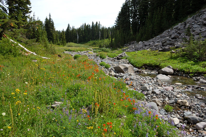 S Breitenbrush River
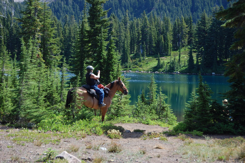 Near Scout Lake
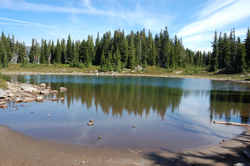 Small lake in east end of the park
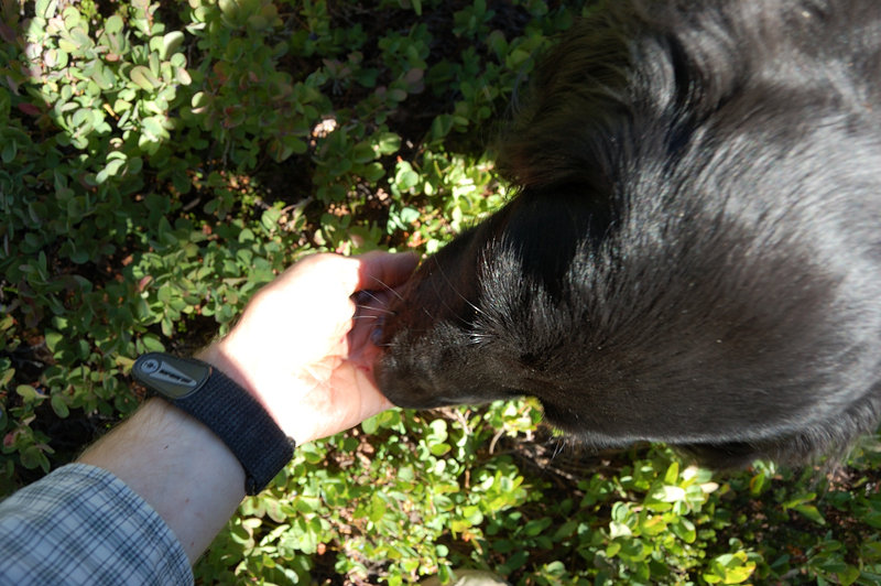
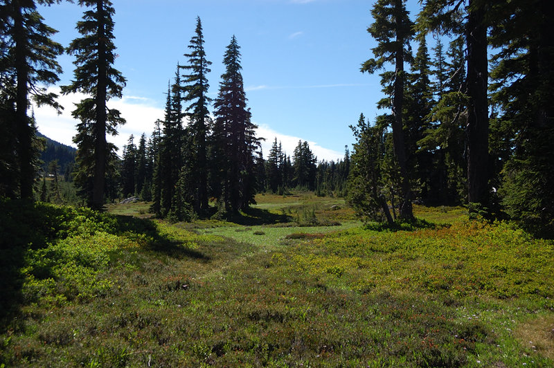 These meadows are filled with huckleberries
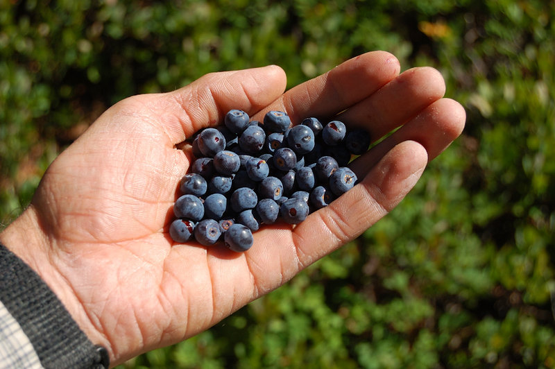 Lots of them!
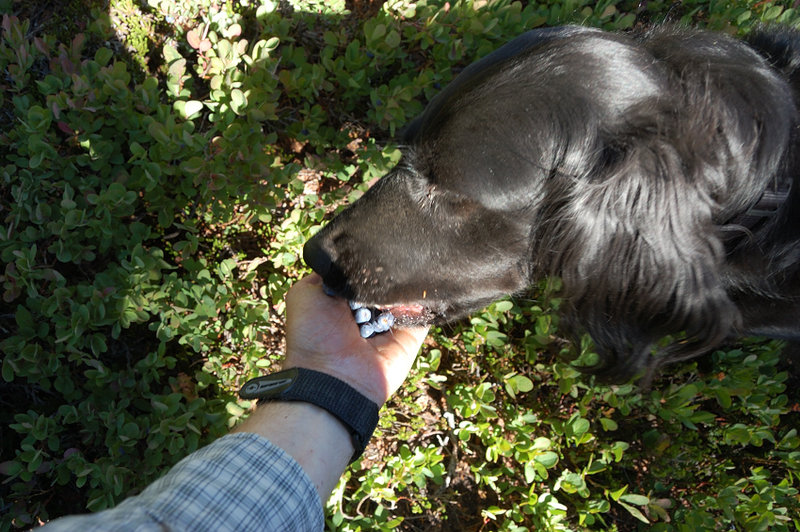 soon, I needed some help
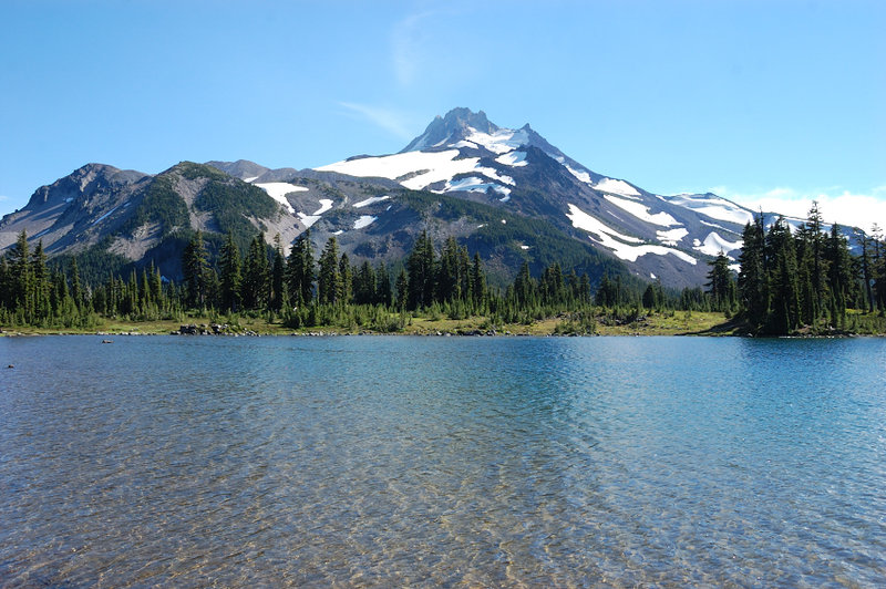 Then, we headed back around Russell Lake
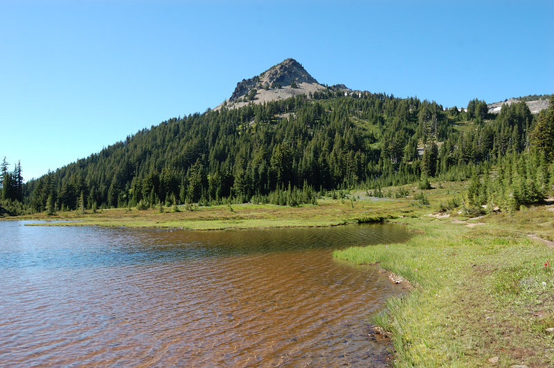 ...and towards Park Butte
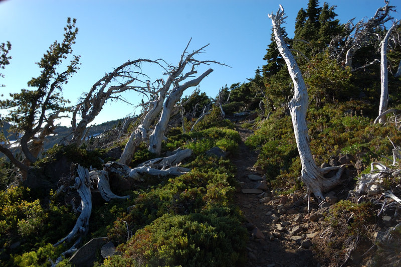 The weather was kind on us, but it doens't look the rule for that place
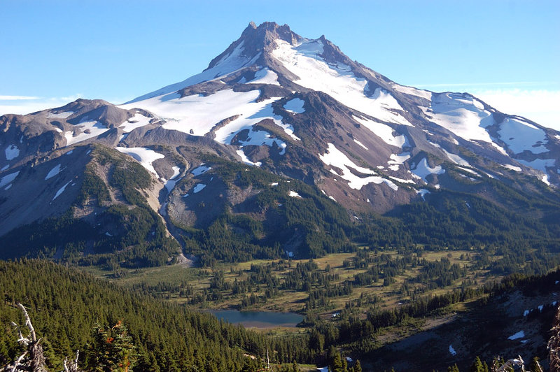 Got to see that famous view
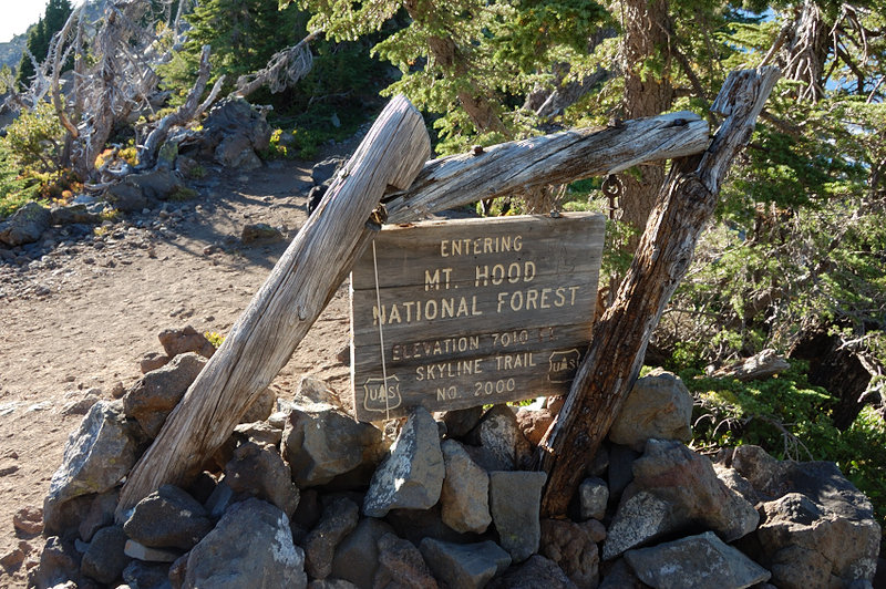 PCT crests here; we're heading a bit higher on a higher of the two summits labeled Park Butte (not the real one)
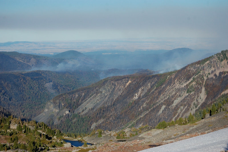 View east to still active forest fire in Warm Springs
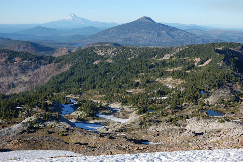 North to Mt. Hood and Olallie Butte - amazing country and all new to me
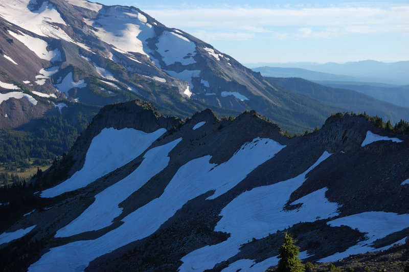 That's where I decided against walking the ridge to "real" Park Butte (the bump at the end of the ridge).
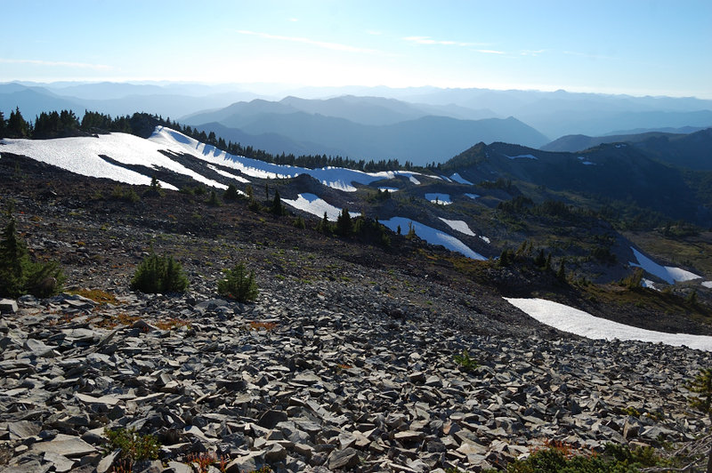 Instead, we dropped that snowy west-east ridgeline between S and N Breitenbrush basins
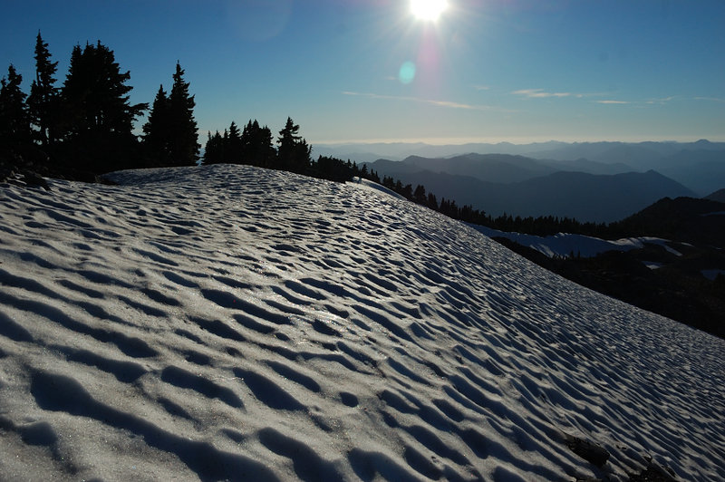
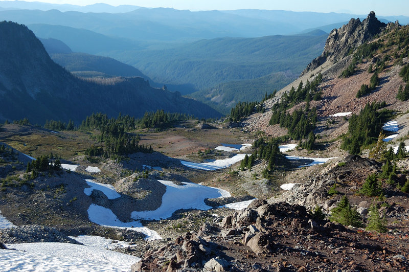 Got some great views into alpine and trail-less North Breitenbrush Basin
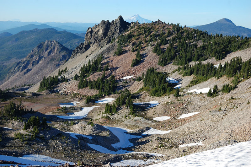
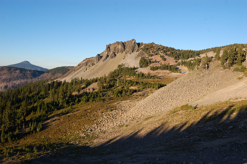
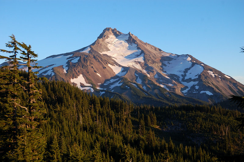 Then we steeply dropped back on the south side of the ridge
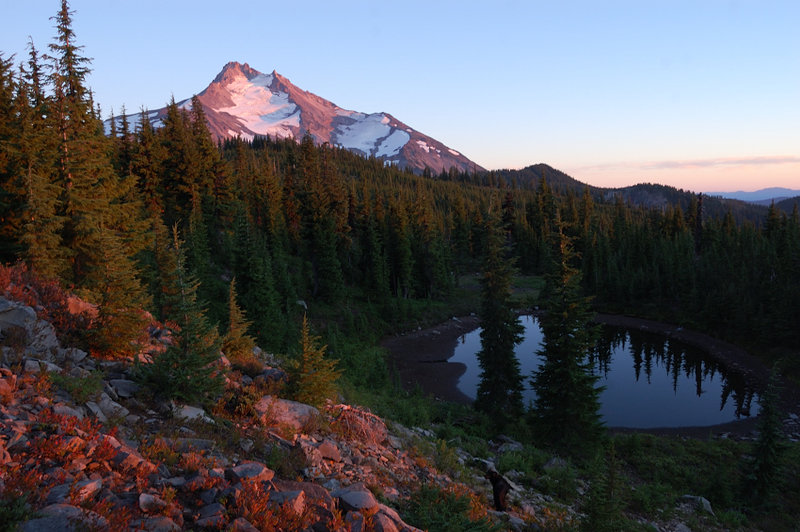 Most tarns were dry by now, so coming by this one was a nice surprise
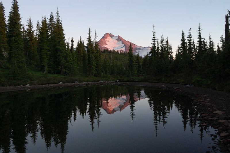 Most tarns were dry by now, so coming by this one was a nice surprise
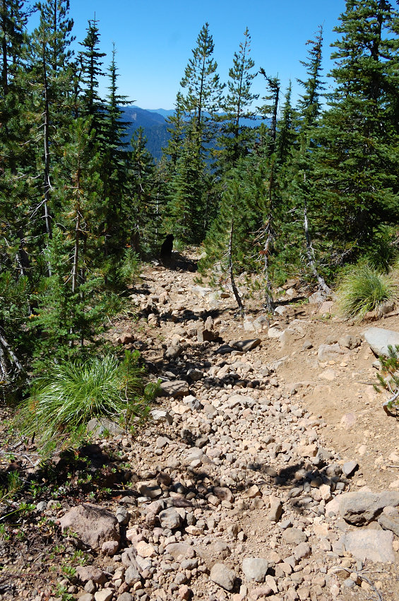 Last but not least, I should warn about condition of S Breitenbrush trail. Between mile 2-5, it looks more like dry stream bed, steep and filled with loose rock.
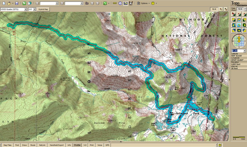 Did the loop in the end CCW - first visited Jefferson park, then wanted to do the "real" Park Butte (the map shows two) but realized I'm running short of daylight, and instead hiked the ridge back down to camp