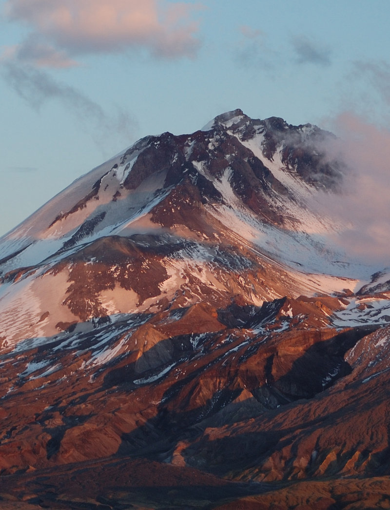
Trail Photos
Photos from Coldwater Peak - did it!
June 6, 2012
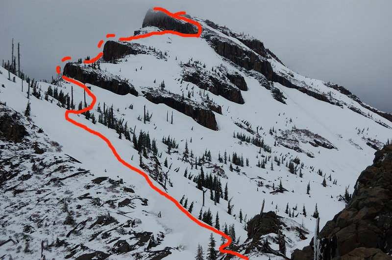 This shows my approximate route - I kept closer to SW side since there was much less snow than on east side where the trail goes
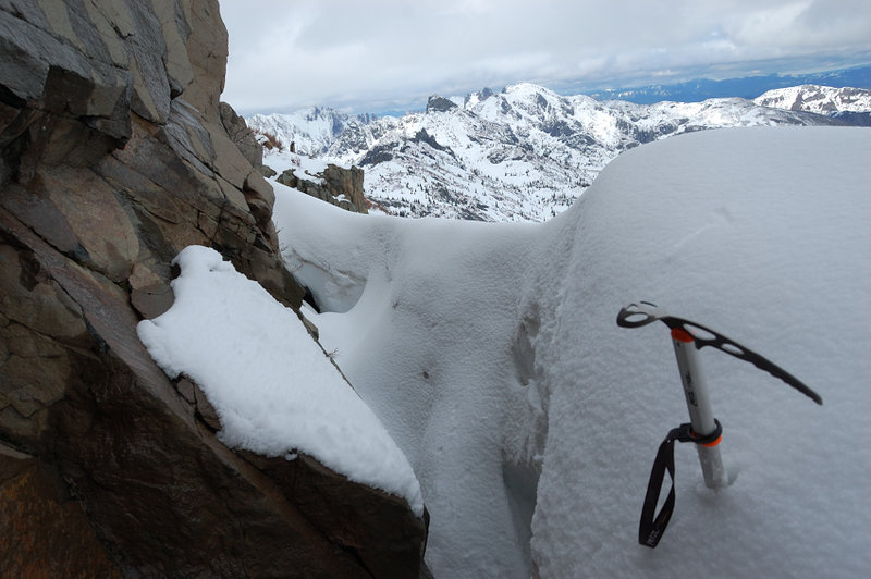 The slope below third rock wall was steep, it almost stopped me. Had to get into "snow well" and was able to get around
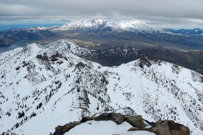 It wasn't as clear day as promised, but got the view of Mt. St Helens
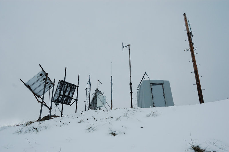 Antennas on the top (not very top, actually)
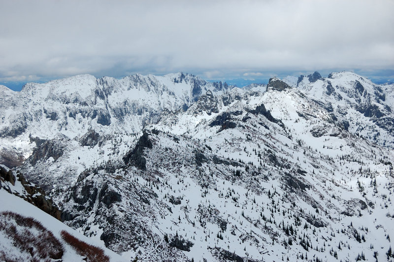 Mt. Whittier (the ridge at left) and Margaret (extreme right)
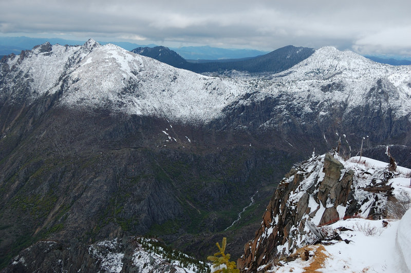 View to NW
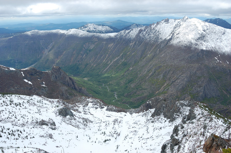 Coldwater Lake valley (only the small portion of the lake is visible)
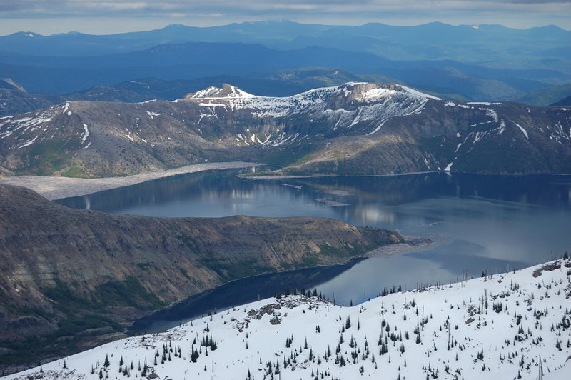 Spirit Lake
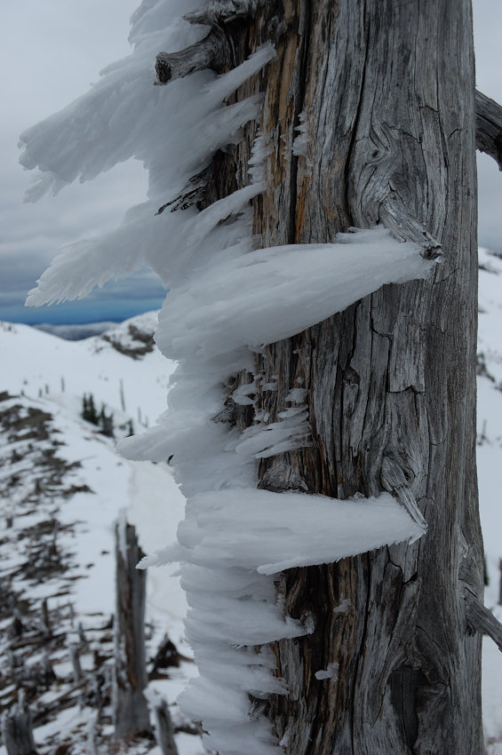 On the way back: rime frost on the trees
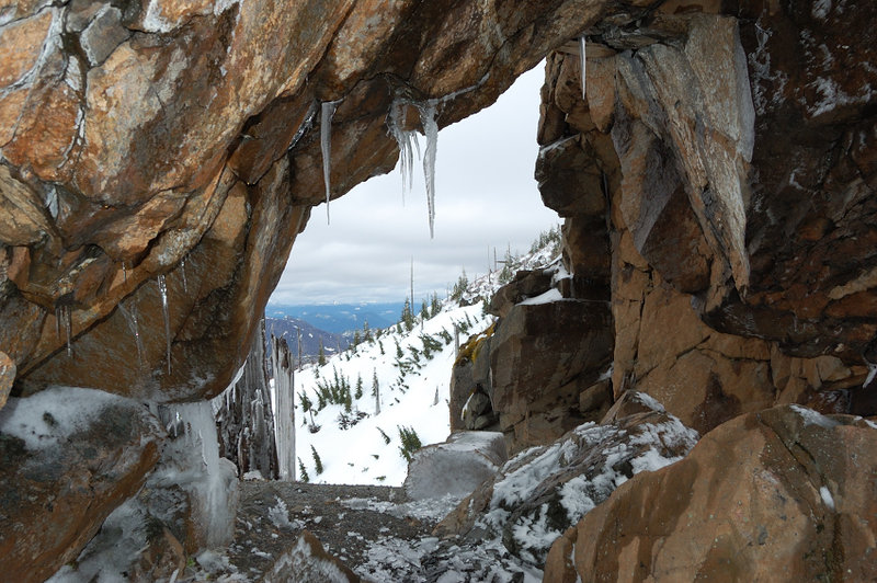 Rock Arch
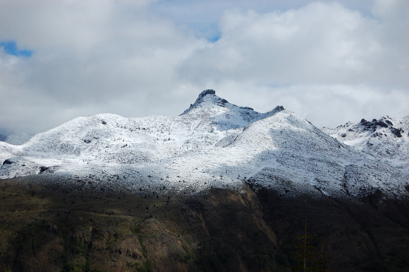 In no particular order yet... View of Coldwater from the beginning of the hike, from Johnston Ridge
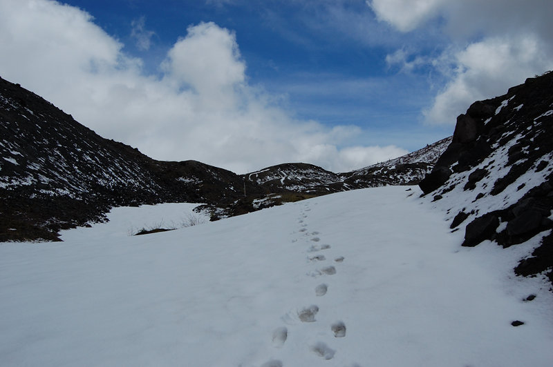 There were some tracks for the first 3 miles of the trip
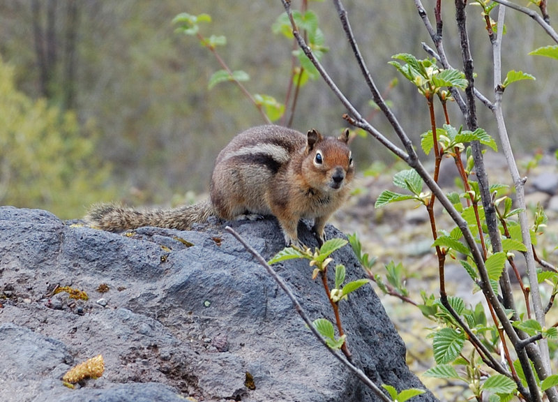 Wildlife
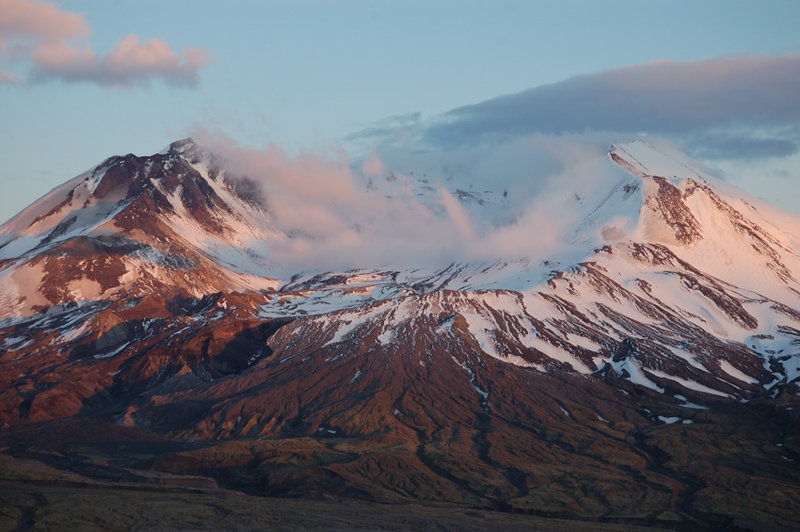
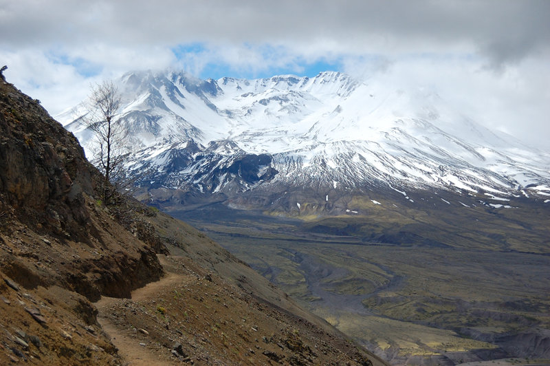 St. Helens from Devils Elbow
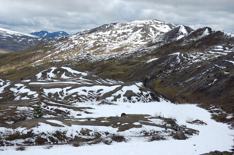 There's something eerie in the eruption blast zone... even 30 years later
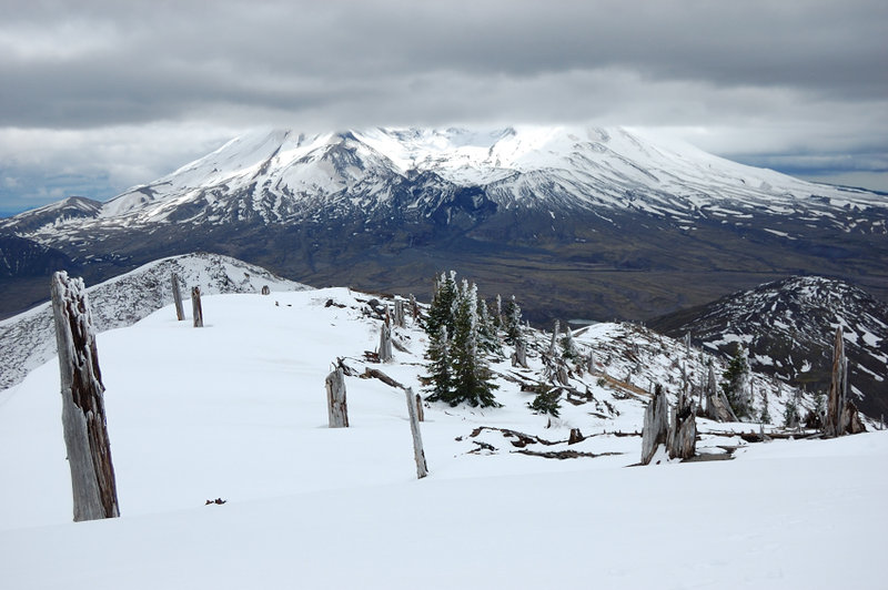 Once past Harry's Saddle, all tracks ended and I was on my own. Getting to Coldwater requires going over the summit of a smaller mountain (steep terrain doesn't allow to go around). I call this unnamed butte a Stump Hill for the obvious reason
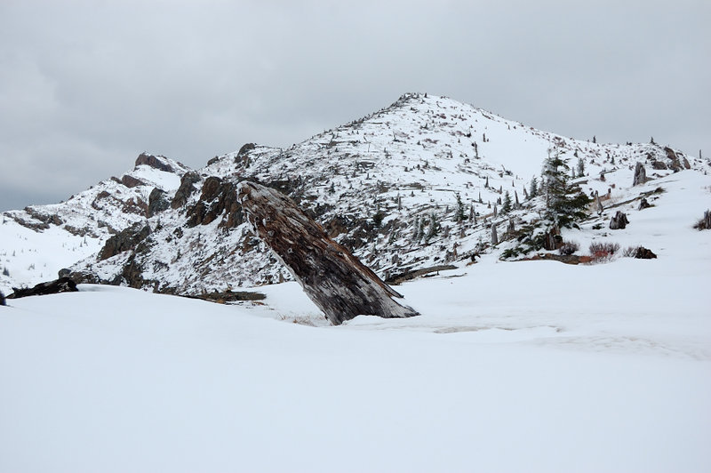 Looking up Stump Hill - still a while to go (Coldwater Peak just shows from behind it on the left)
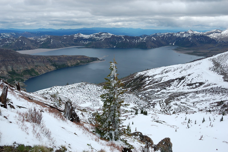 Had great views of Spirit Lake almost the entire time
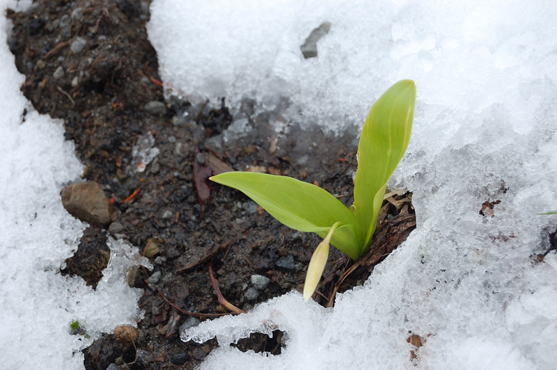 In a couple of weeks there'll be lots of glacier lilies in bloom
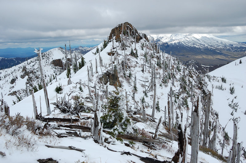 Past the Arch Ridge, I changed to crampons and went past Arch Ridge to a lower saddle - where the final steep ascent began. On the way, had a great view of Snag Peak (my toponyms). Stump Hill just shows to the left of it
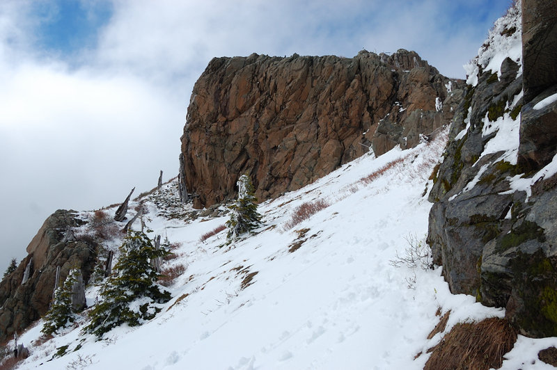 After traversing a tricky Arch Ridge and gaining a saddle between Coldwater Peak and "Snag Peak", you get on SW side which has very little snow. Here is Wall 2 from just past Wall 1. Other than a few snowdrifts, this part was pretty straightforward
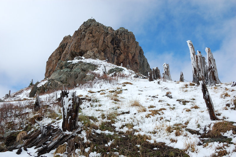 Summit block comes into view (the 3rd rock wall) - that's where the things get interesting again. The only way to go around it was on snow-laden and steep east side
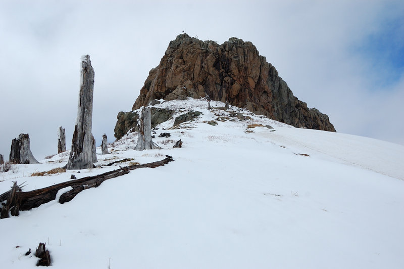 Same, from the other spot
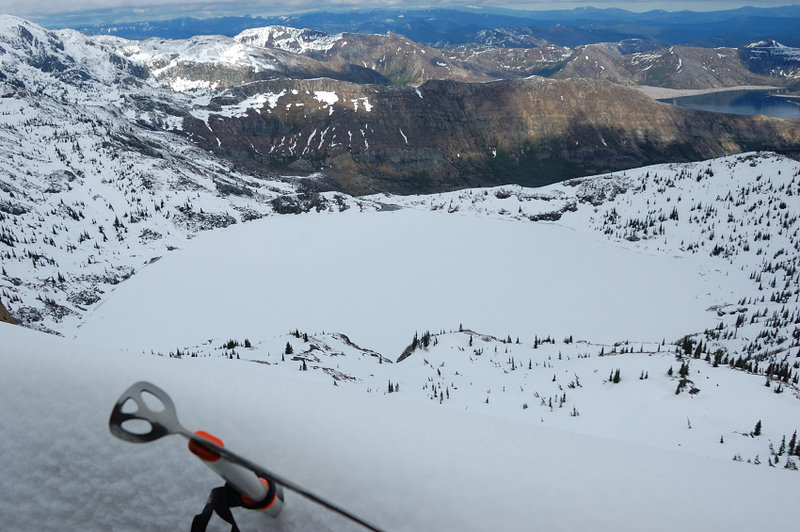 Frozen St Helens Lake and Spirit Lake (upper right corner from my snow balcony
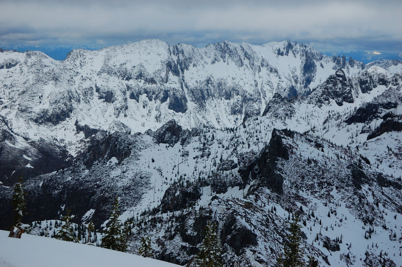 Mt Whittier zoom-in from the summit
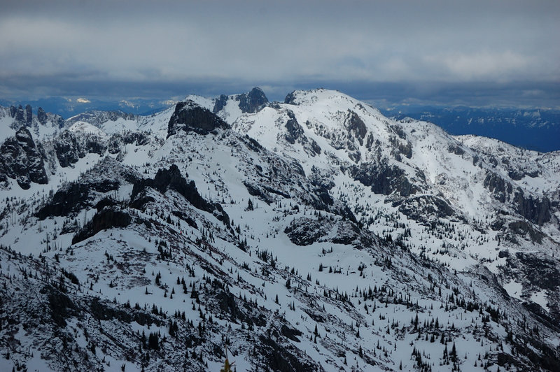 Mt. Margaret zoomed in (rounded summit on the right). The Dome rock can be seen just left of Margaret
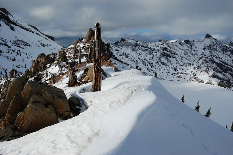 Arch Ridge and my tracks
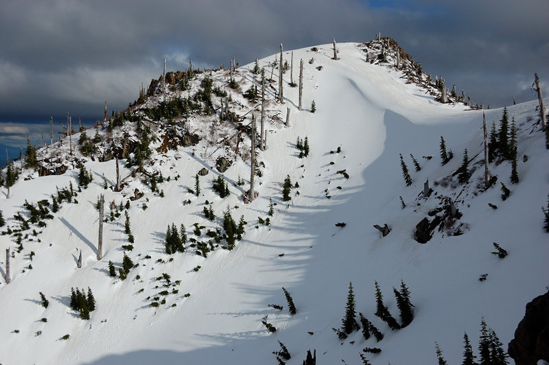 Back side of "Stump Hill", as seen from Arch RIdge. Note a huge snowdrift at the saddle
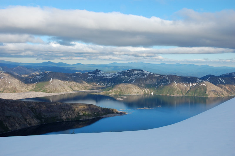 The lake finally turns blue
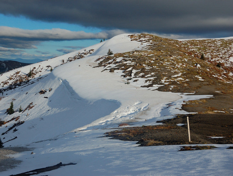 Down at Harry's Ridge junction. Pre-sunset light really warmed everything