Eugene Smith went hiking December 4, 2011 22.5 miles 4,000 feet gained
Snow is a rare and fleeting sight in the arid climate of the Chihuahuan Desert. You have to head north upstate or head vertically a few thousand feet and do it quickly as what little frozen precipitation that may happen to fall usually fails to linger around very long. Down in the Mesilla Valley temperatures were dropping and the cloud layer filled in earnestly as the morning progressed. I knew that the chances were favorable for a good dusting up in the foothills of the Organ Mountains; cloud enveloped peaks were a good sign.
Around noon I quickly kissed my family goodbye and grabbed my kicks and my "cold" weather layers in anticipation for some brisk temperatures and potentially soggy snowfall. A quick phone call and I had my friend committed to heading out for a long run, somewhere in the vicinity of 20+ miles or four hours on our feet. He was hesitant as we arrived at the gate a few miles west of the Dripping Springs Recreation area, decidedly opting to run up the access road in favor of paying the ridiculous parking fee near the trailhead. Payment was shed in sweat and effort as we immediately slogged our way up a thousand feet or so of steady climbing where we would connect with the short loop trails in the area.
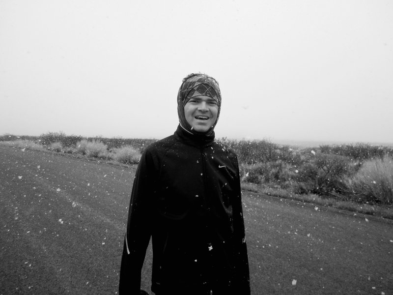
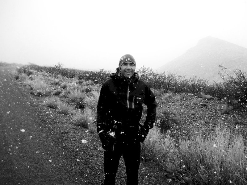
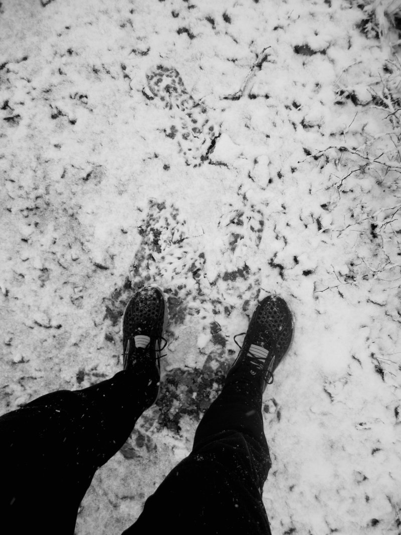
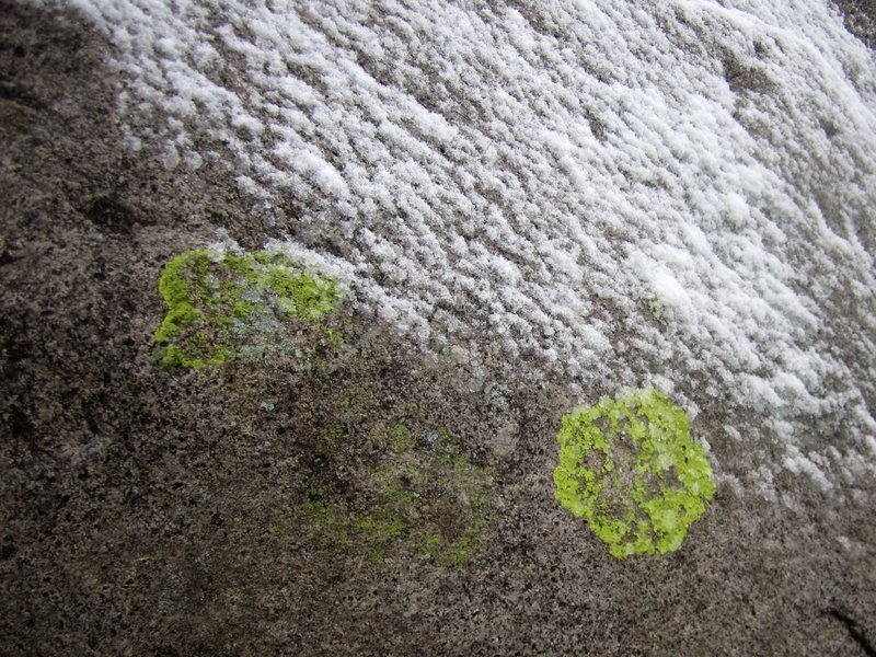
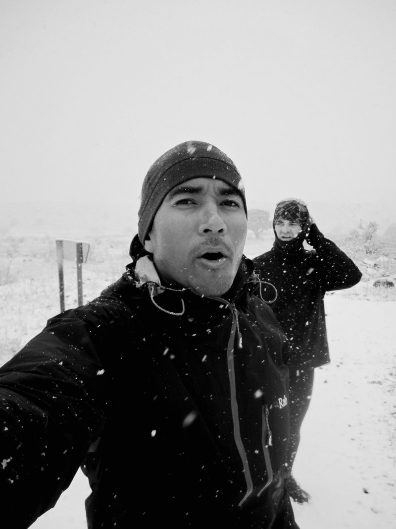
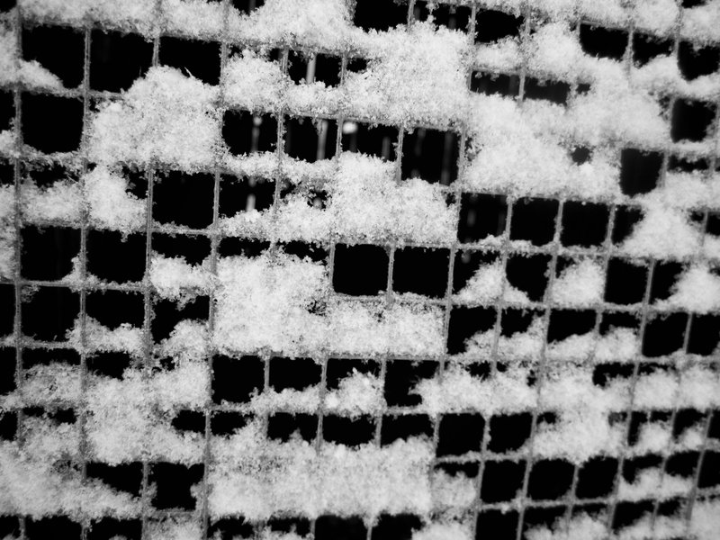
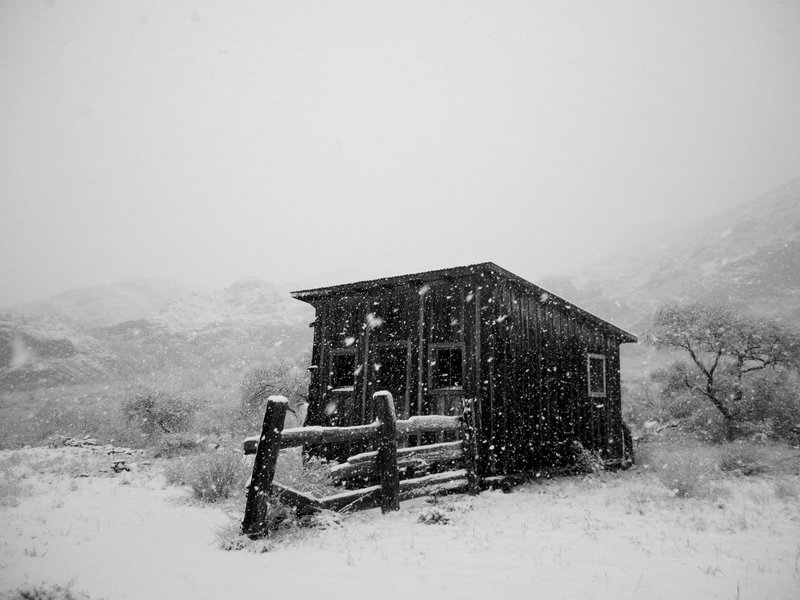
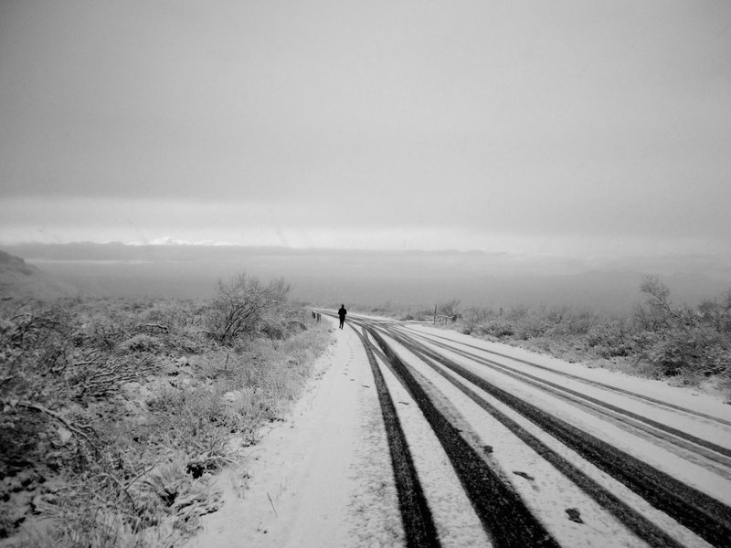
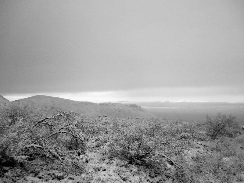
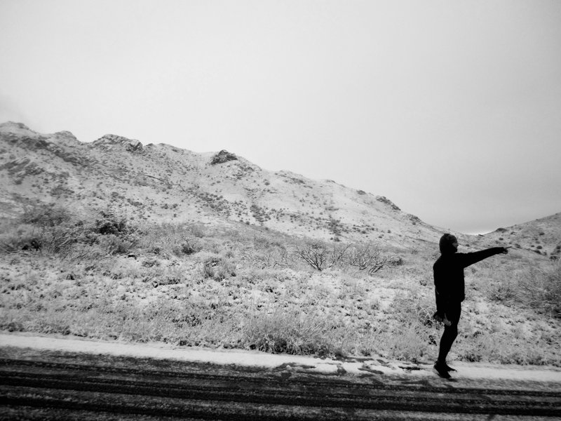
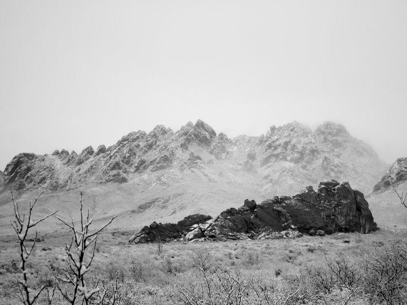
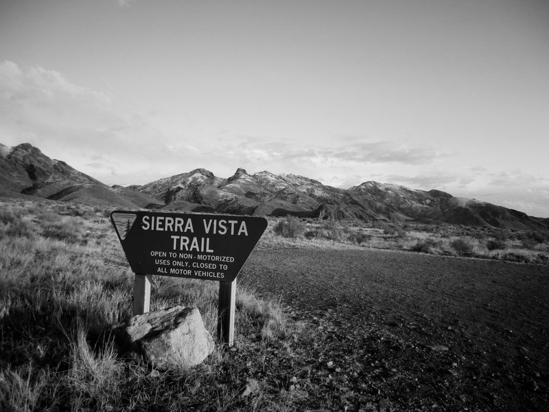
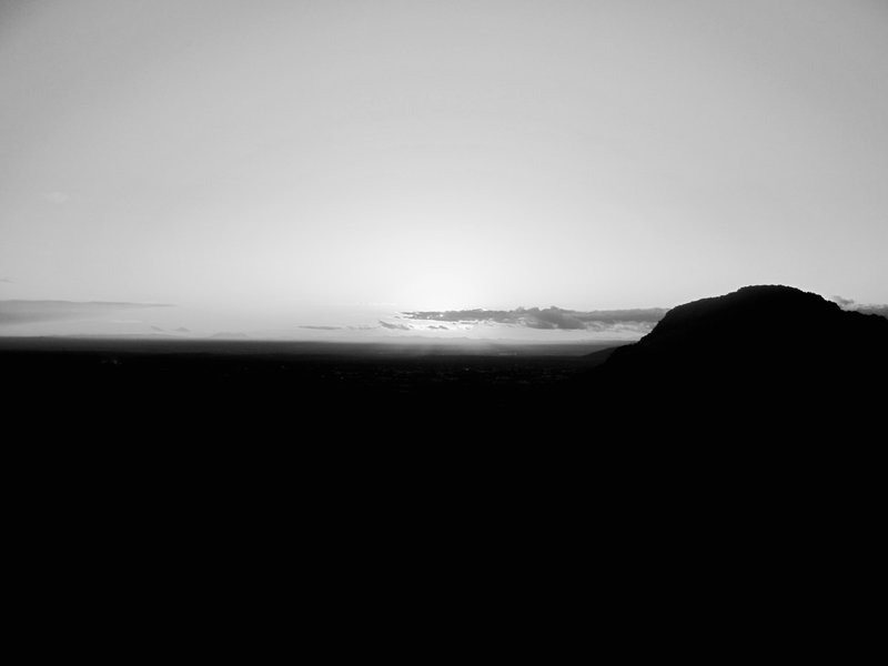
Heavy wet wind blown snow quickly turned into accumulating powder and visibility diminished as we darted along white draped trails. The crunch of broken down earth underfoot was soon muffled by the dampening of a soft blanket of snow. This happened to be the first time in many months that I brought along my cheap point and shoot with me on a run and I'm glad I did on this occasion. These are my favorite images from our run which began in the snow and ended on dry desert trail under another sunny New Mexico sunset.