Skip to content
Went Hiking Went Hiking Went Hiking
Hikes About Log in

Back to Mary's Peak

Trail Photos

Photos from Mary's Peak

December 3, 2011

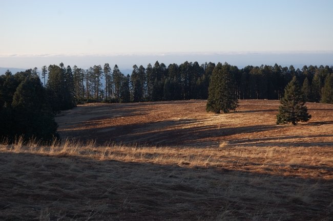
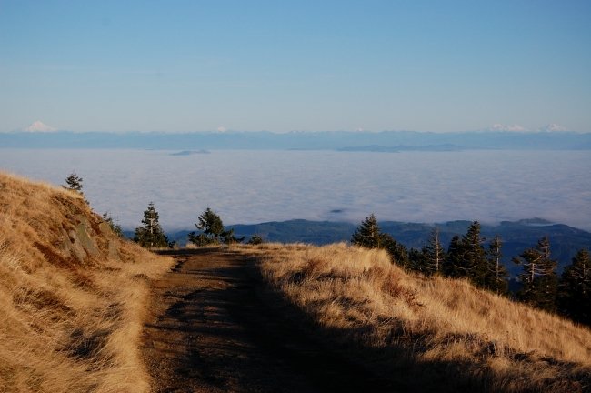
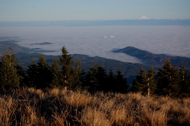
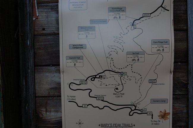
Map of the area @ one of the lower trailheads. The upper road will be gated for winter, probably as soon as first snow arrives Map of the area @ one of the lower trailheads. The upper road will be gated for winter, probably as soon as first snow arrives Meadows just below the summit. We just chose the shortest way from the upper trailhead since it was pre-sunset hour Meadows just below the summit. We just chose the shortest way from the upper trailhead since it was pre-sunset hour Sea of fog over Salem/Albany Sea of fog over Salem/Albany
Went Hiking Went Hiking Went Hiking

Went Hiking recently moved to new infrastructure. If your old password does not work, reset it to get back in; if anything feels off, please send feedback.

Went Hiking © 2010-2026. All rights reserved. All photos © their respective owners. Photos may not be used or modified without express written consent of the author.

About | MCP | Privacy Policy | Contact

This website was lovingly crafted by Kyle Meyer, a software engineer and backpacker in Portland, Oregon.