Trail Photos
Photos from Defiance-Starvation Loop
November 2, 2011
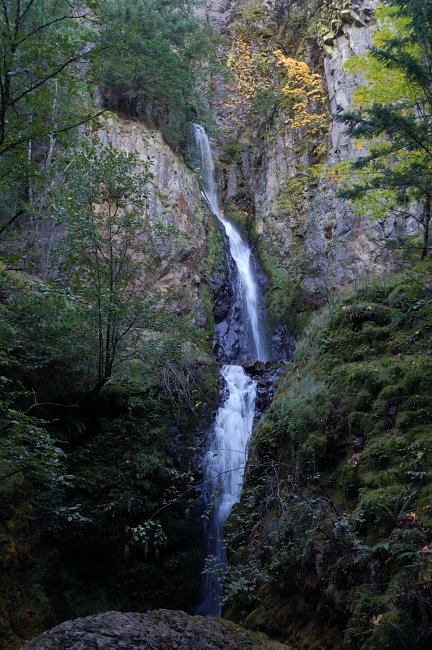 Waterfall #1 (I'm too lazy to look for the name)
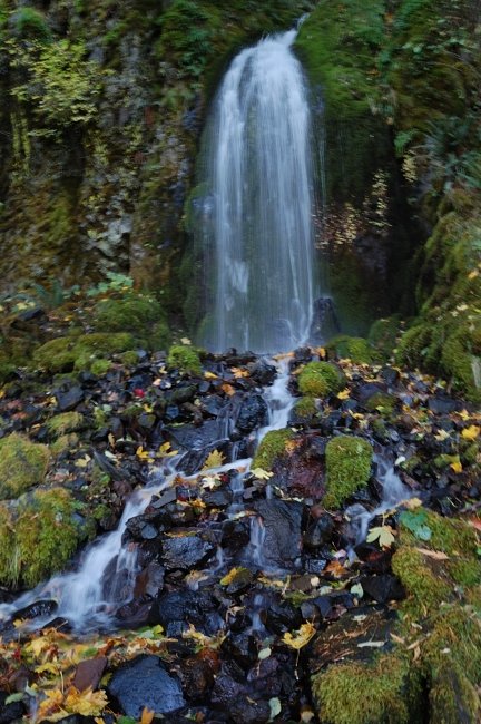 Waterfall #2
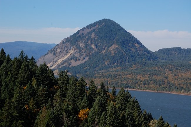 Wind Mountain, and the wet weather coming from the west
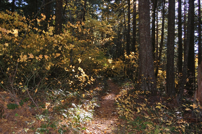 Vine maples put on quite a show
 Lots of mushrooms today
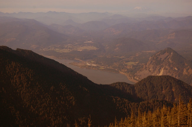 View from the first rock field
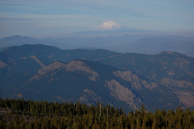 Dog Mtn. and Adams
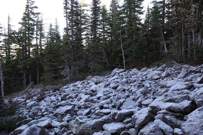 This looks like snow, but it's very thick rime. BTW it may snow tomorrow down to 3000' in the Gorge!
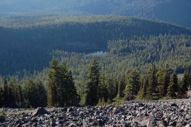 Bear Lake from the upper scree field
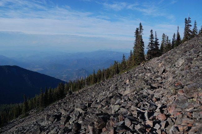 It's hard to see, but the trail goes straight through this scree field
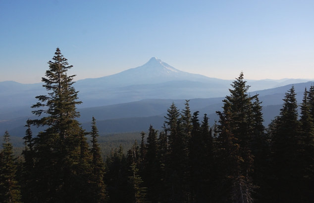 Mt. Hood in poor lighting
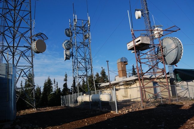 Antennas on the top
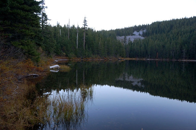
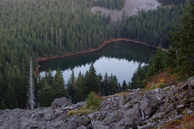 Warren Lake
 Columbia River and I-84 from powerline viewpoint (where actual Starvation Ridge begins)