Trail Photos
Photos from Grey Butte Trail to Smith Rocks
October 22, 2011
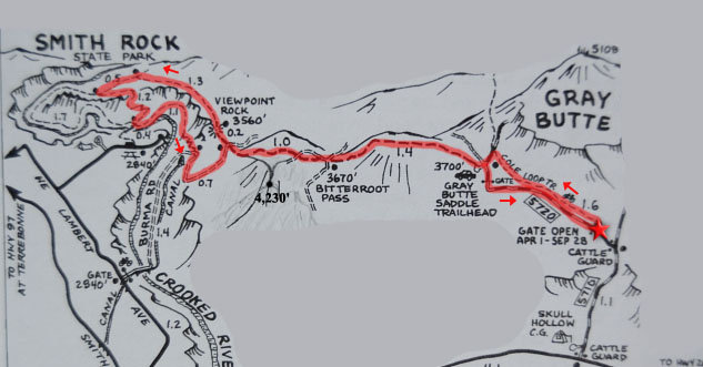 Modified map - no issue if I post it?
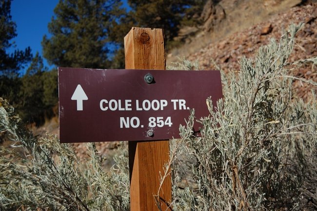 We started from lower TH because the upper was closed (I should have read the map)
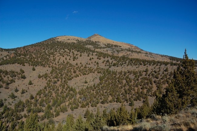 Views of Grey Butte along the trail. The weather was gorgeous
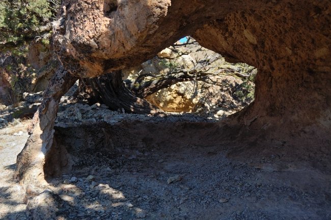 Small natural arch
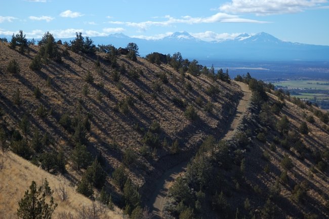 Burma Rd. and Three Sisters
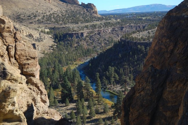 Crooked River
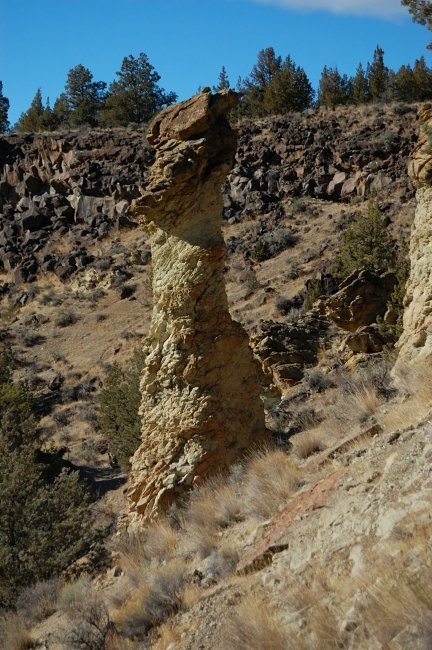 Strange rock formations
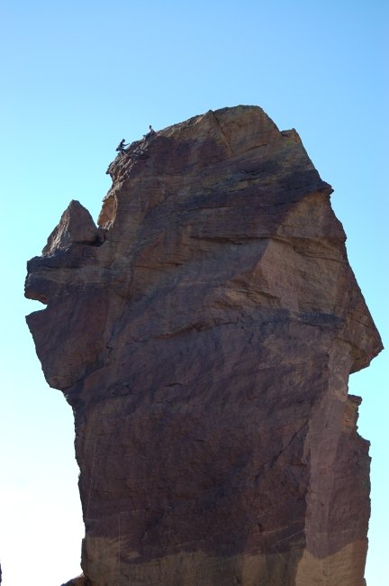 Climbers on Monkey Face
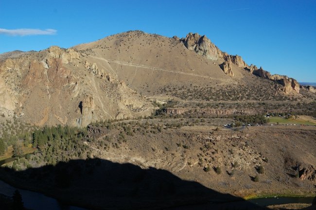 "Point 4230" (the highest point) which we skipped today, and Burma Road (diagonal line across hill) we would hike on the way back
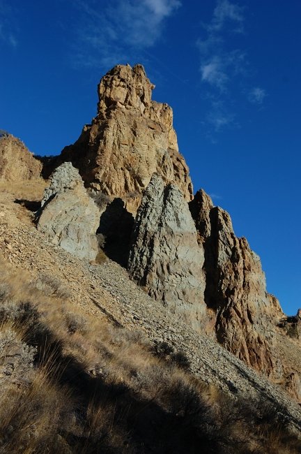 More cool rock formations
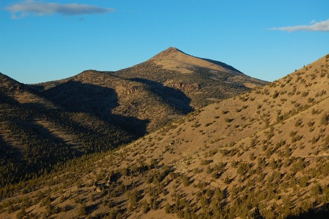 Antennas on Grey Butte were a good beacon to pick direction. Many trail junctions are unmarked as there are lots of unofficial trails
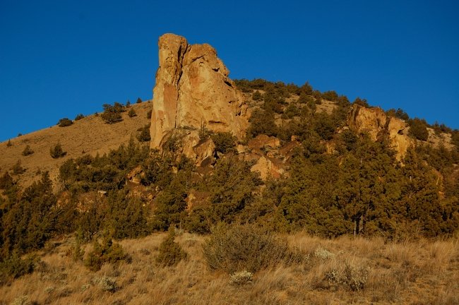 Sunset colors on the way back. We hiked as fast as we could and came to the car by dark