Trail Photos
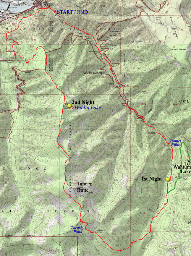
Photos from Eagle-Tanner loop
August 12 to August 14, 2011
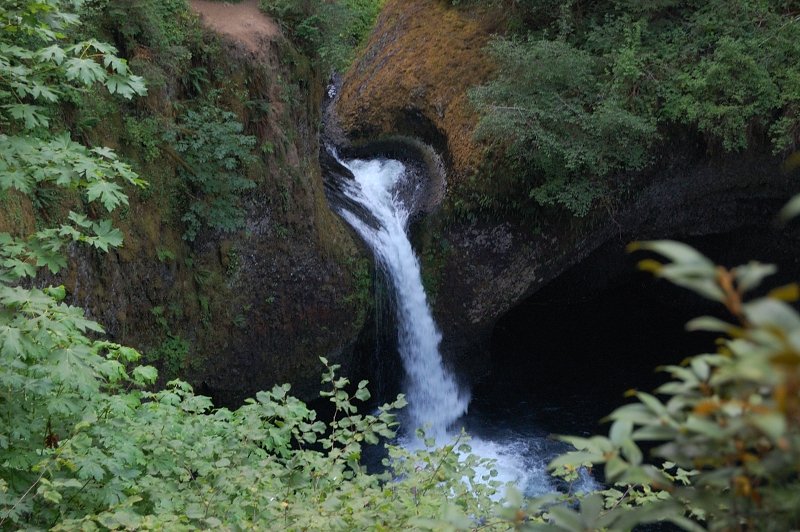 Punchbowl Falls from an overgrown viewpoint
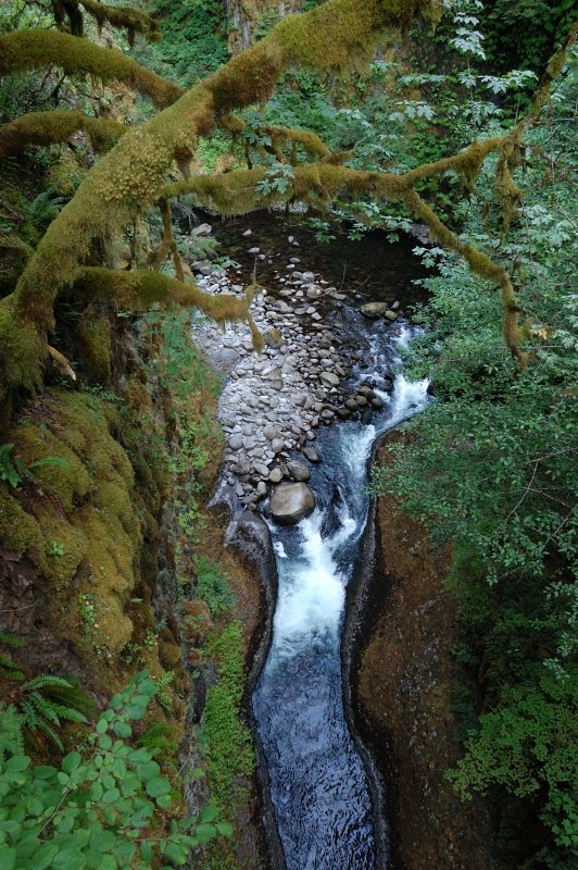 The narrow canyon before the High Bridge
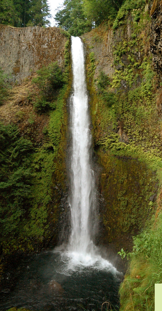 The trail goes through the hole behind the Falls
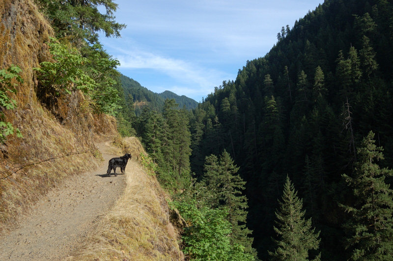
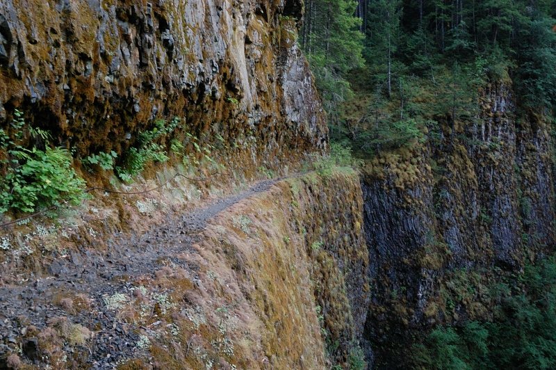 Vertigo Mile
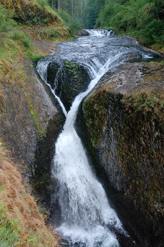 Twister Falls
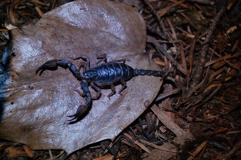 "Wildlife" at the camp - another reason to store the boots in the tent at night
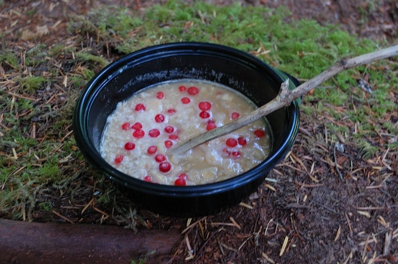 Yep, I forgot my spoon on this trip. Red berries are huckleberries I picked in my camp
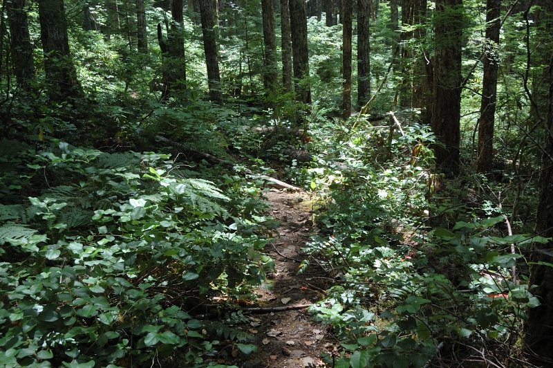 Eagle-Tanner cutoff trail is thin, but never hard to follow
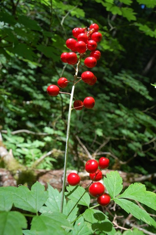 These are probably poisonous, but look nice
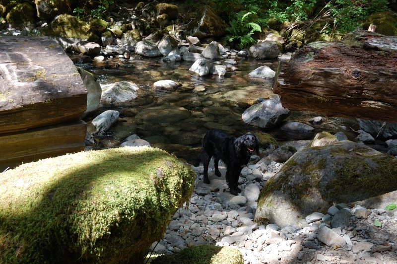 At Eagle Creek Crossing. The creek is pretty low right now, hikes across on large rocks without changing the boots. There is a campsite just before the crossing
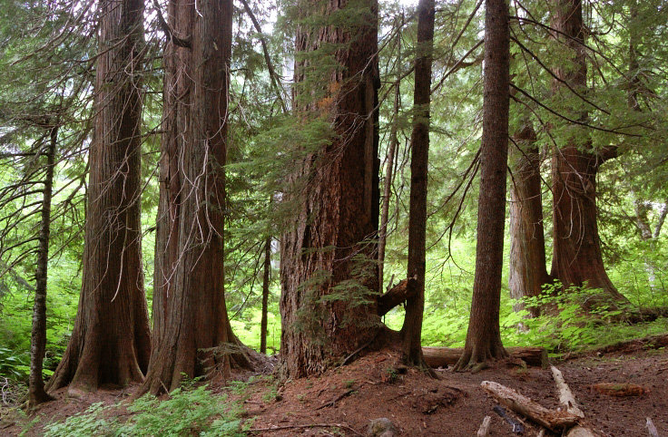 Big cedars at Big Cedar Spring. There are another 2-3 camp spots, a good midway location if you do it in 2 days. There is a stream just after the camp.
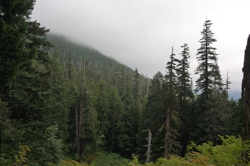 Just as I got to the first views, the weather started to change
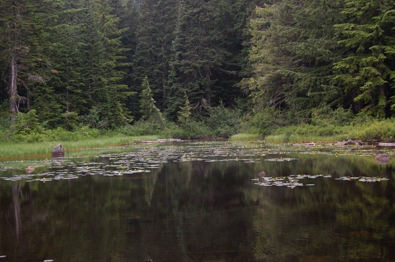 Thrush Pond (the source of Eagle Creek) is about 50 yards left off the trail. It's nice with yellow lilies blooming, and some flat ground nearby, but no established campsites as I could see
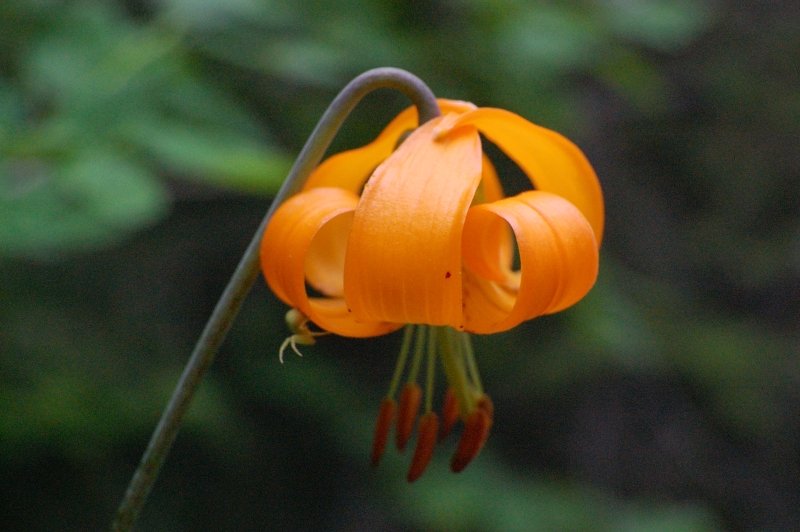 Can you see a spider?
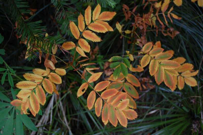 Mountain ash seemed confused with this summer weather, with both still-green berries and yellow leaves on the same plants
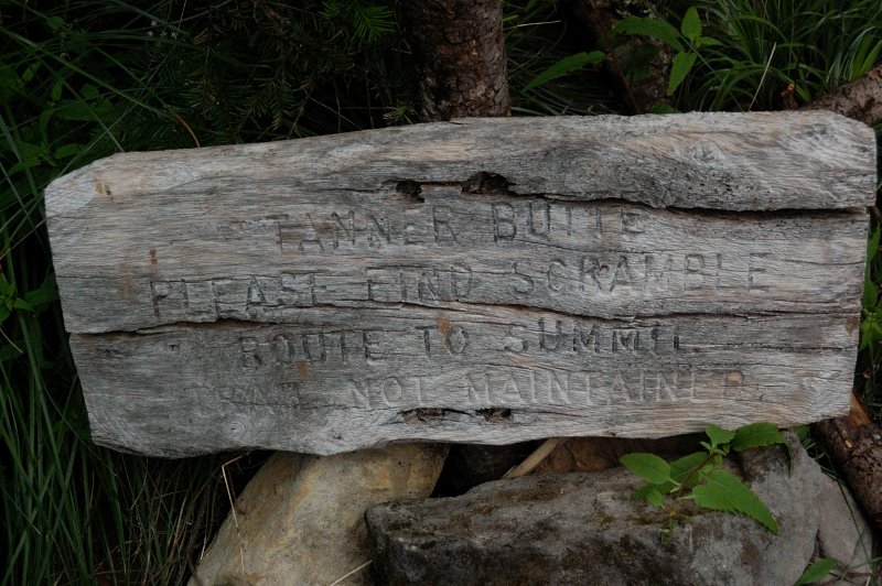 A sign for Tanner summit scramble is placed in the middle of the trail
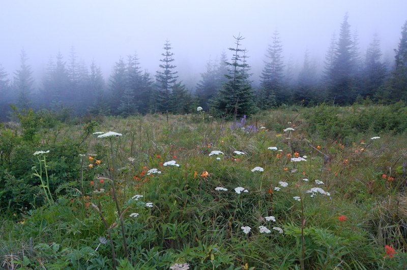 I skipped the climb because the ridge was enveloped in dense clouds.
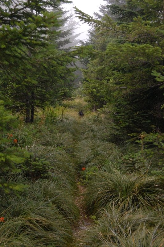 The trail goes through beargrass meadows for a couple of miles; the grass obscured the footing which slowed me down
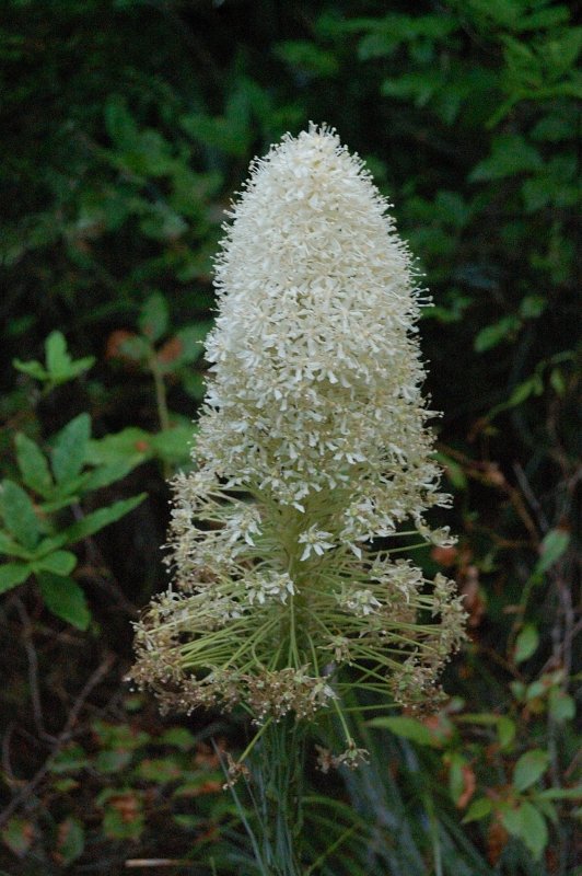 The last beargrass
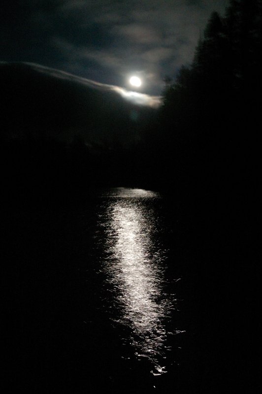 Night view from my camp
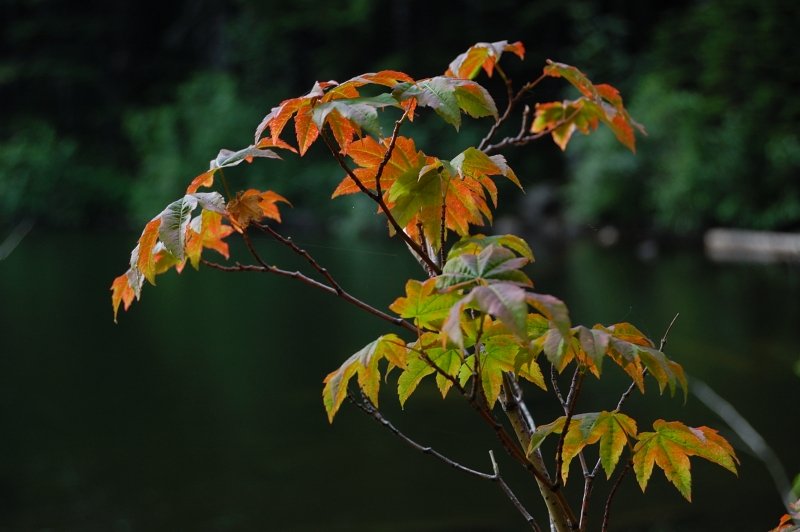
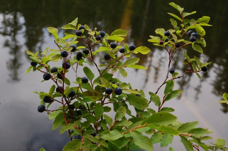 Some good black huckleberries there (the tasty kind)
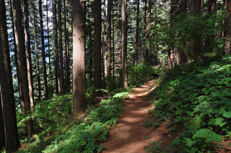 Trail back to the car
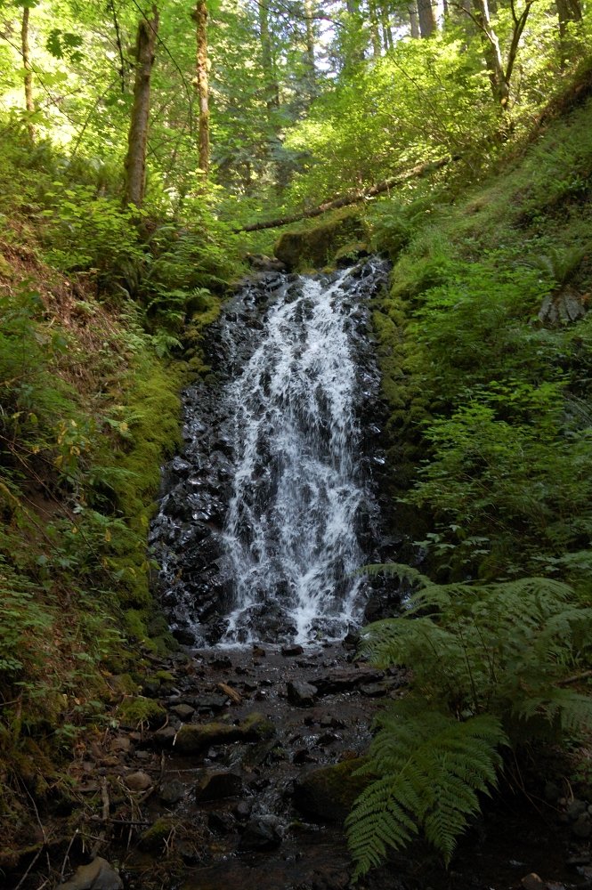 Another small falls