Trail Photos
Photos from Augspurger Mountain and Dog (redux)
July 2, 2011
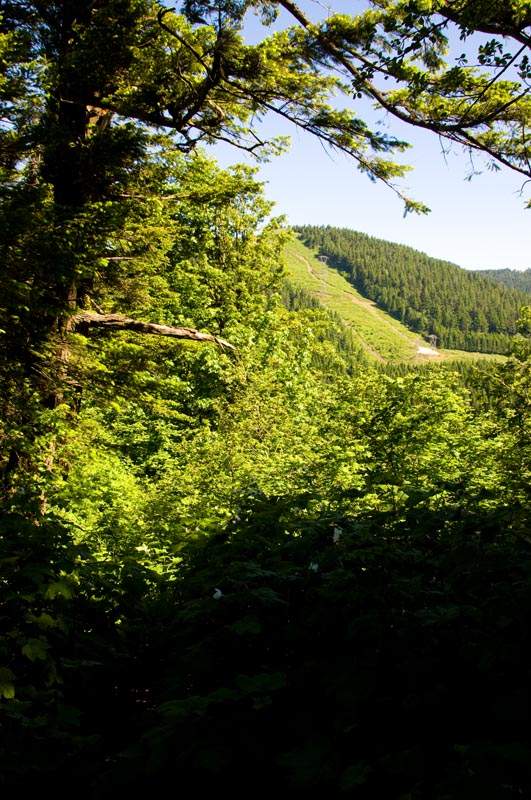 Powerline road up the hill to the first ridge, seen from the Augspurger trail junction on the NW side of Dog.
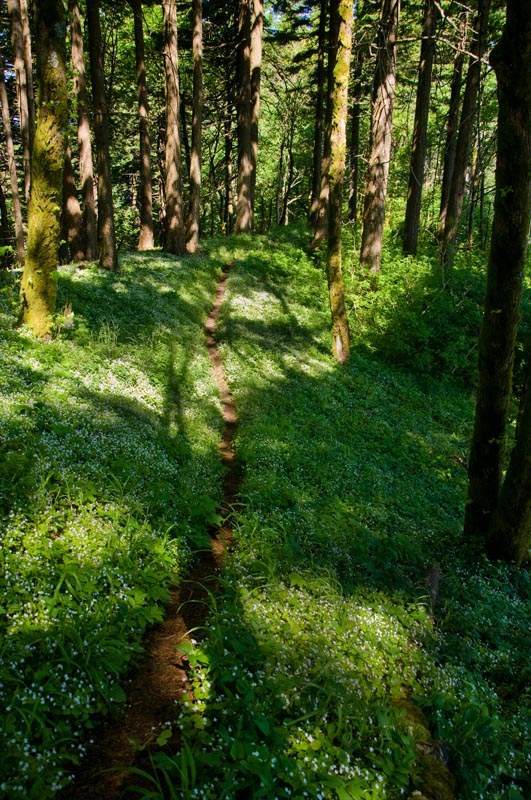 Little wildflowers going down from the junction into the saddle.
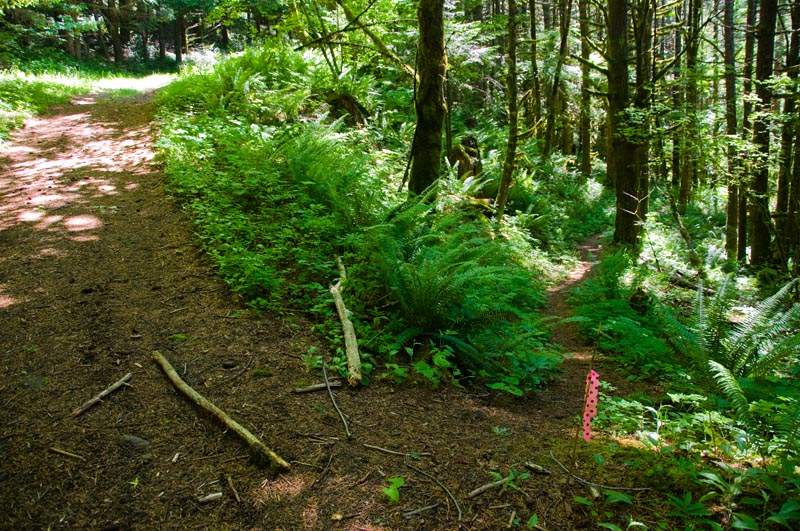 After the saddle, you go uphill a little and pop out onto this powerline road. Turn right and go uphill.
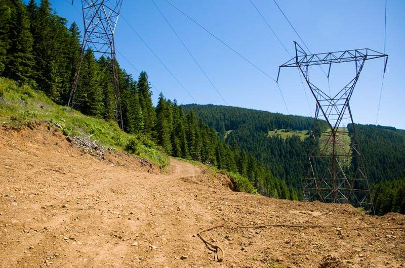 You come to a big multi-junction clearing. Go straight through on the road you're on.
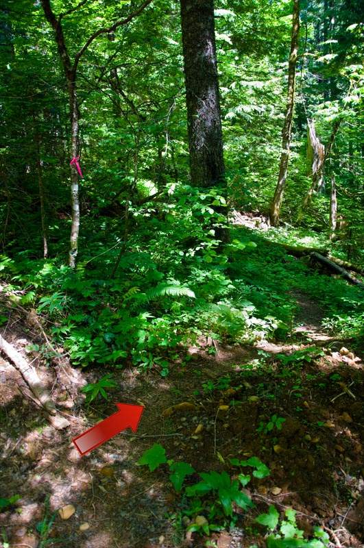 After continuing straight, the road suddenly turns very sharply left. In the right corner of this turn, look for pink flags and a very faint trail.
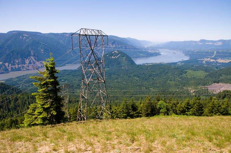 The first powerline ridge, looking down the Gorge.
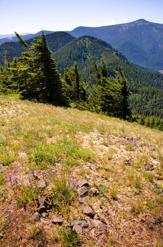 Mt. Hood, Defiance, and an Indian pit? (Or just a fire pit?)
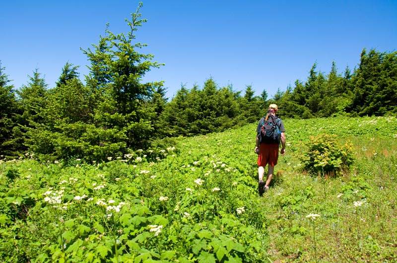 It went from this...
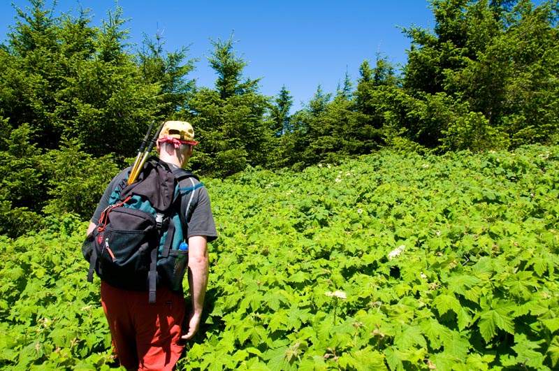 ..to this.
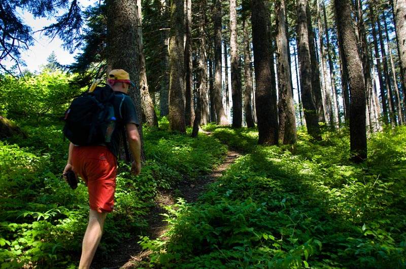 Going up to the shoulder below the summit where I turned around last time. This was completely under snow two months ago and I was walking off to the left in the open ridge.
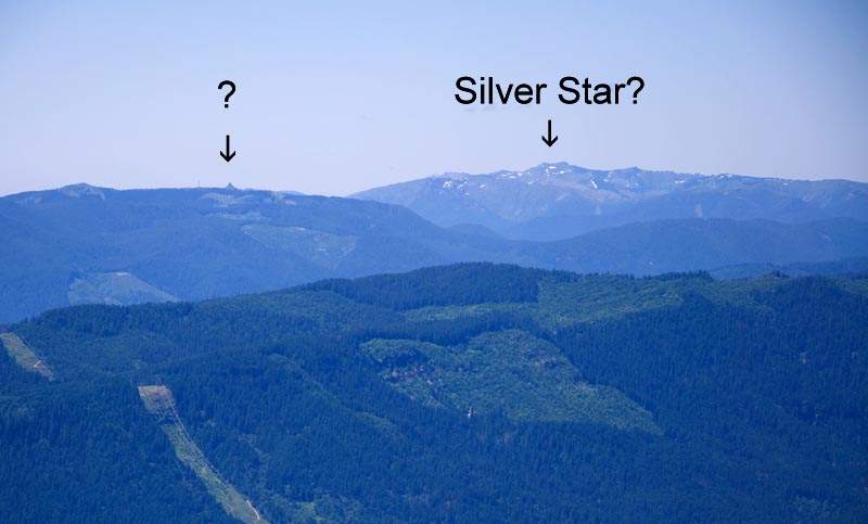 Mystery point.
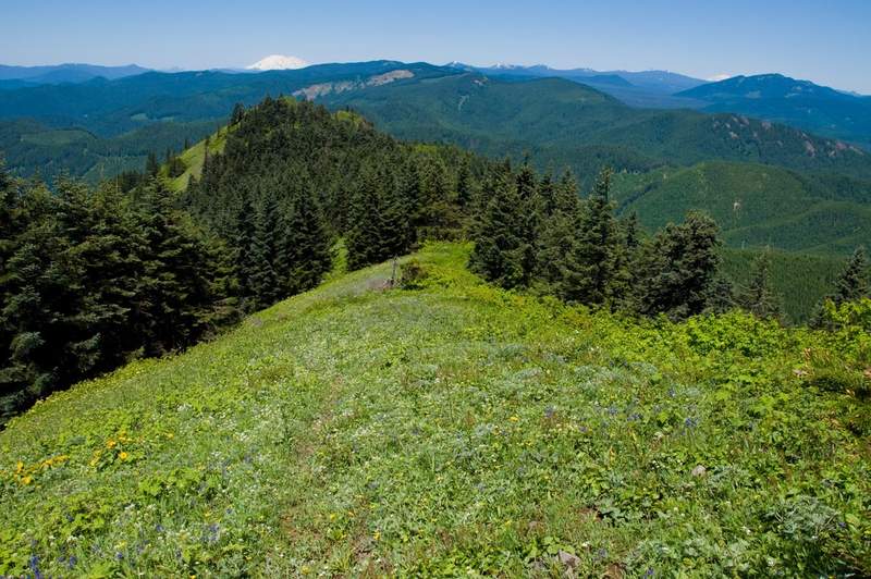 The ridge past the summit.
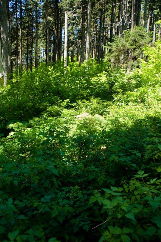 More brush! With more scratchiness!
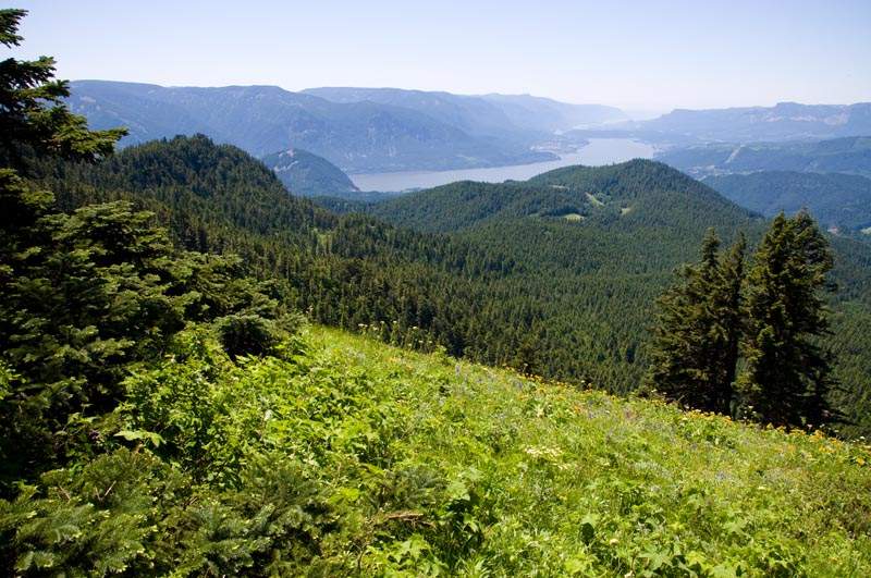 Le Gorge.
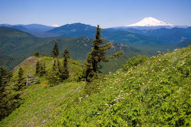 Excellent lunch spot at the end of the ridge.
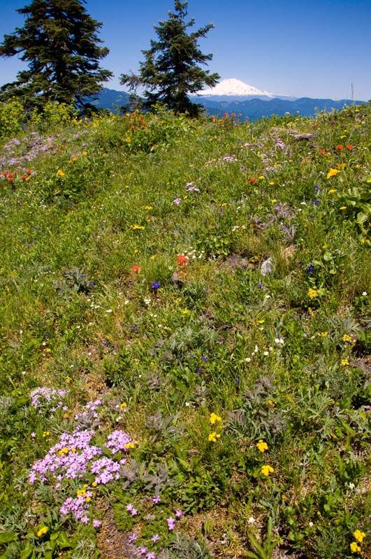 Little wildflowers and Mt. Adams.
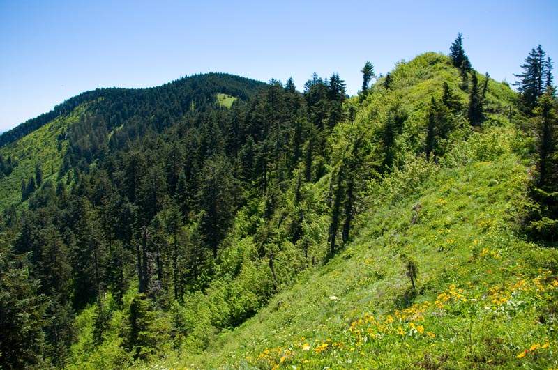 Looking back up the ridge to Augspurger's summit. The little grassy point in front is the high point on the ridge, which in lieu of an actual name I'm calling Consolation Point.
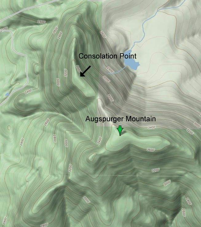 Map of that ridge.