Trail Photos
Photos from Sheep Canyon fail (and unnamed summit)
July 2, 2011
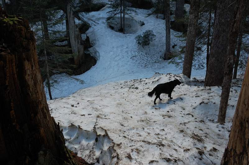 A little further up, there was no trail at all. The tree wells were easy to avoid - trees are far from each other
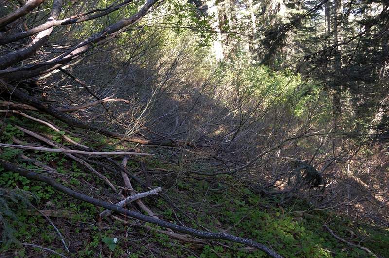 I made a mistake of leaving the canyon bottom too early. Higher up the snow has melted and hiking was any where as easy
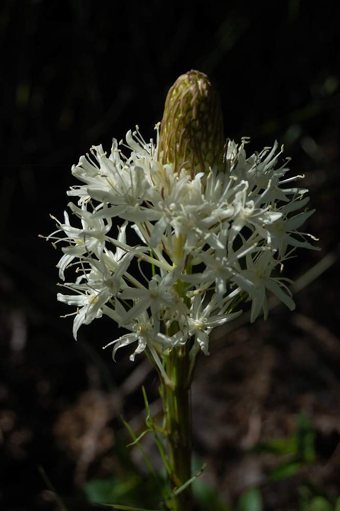 First beargrass
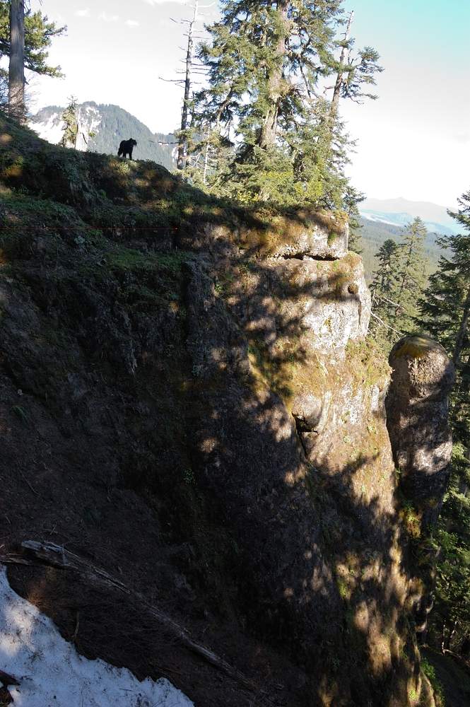 I hoped to see St. Helens from that rock spire but the views were so so. I noticed that the actual summit is really close and decided to check it out up
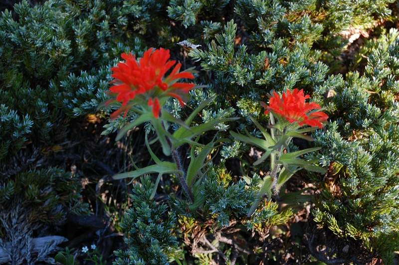 There were some paintbrush and phlox
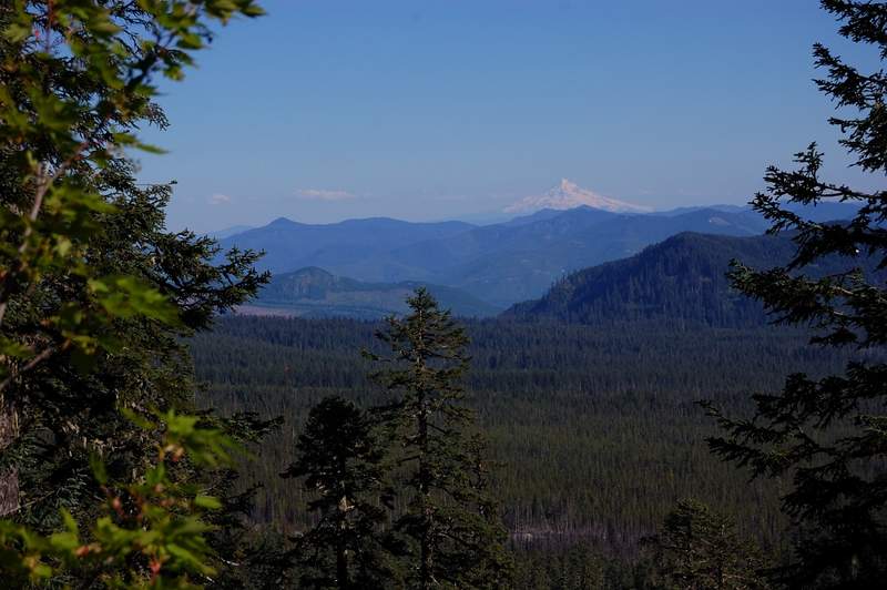 View of Mt. Hood from the rock spire
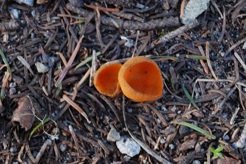 Shrooms
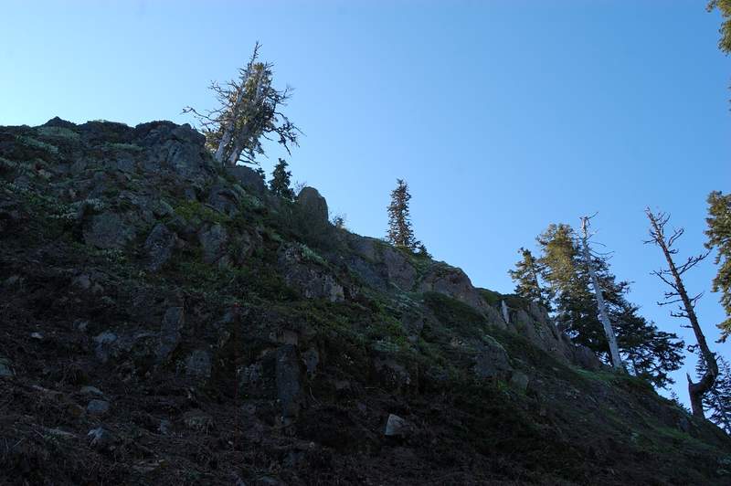 The last 200-300 feet were very steep
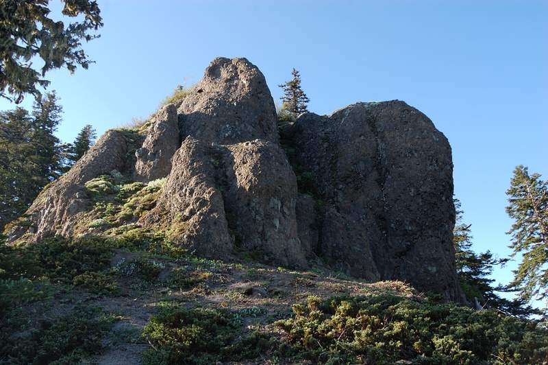 Summit rock - maybe 20-30 feet high. I tried the obvious route on the left but realized my dog cannot do it (which would mean she'd try to follow me and risk falling). I decided to try another approach.
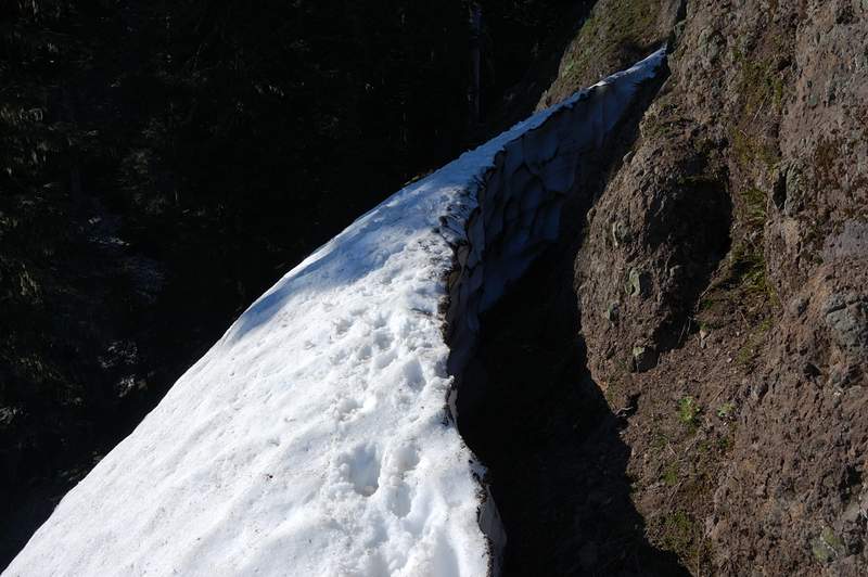 On the left (west) side of the rock was this snow barrier - this thing is at least 5 feet high on the wall side! We walked on top of it to the rock, but it's too steep to climb there
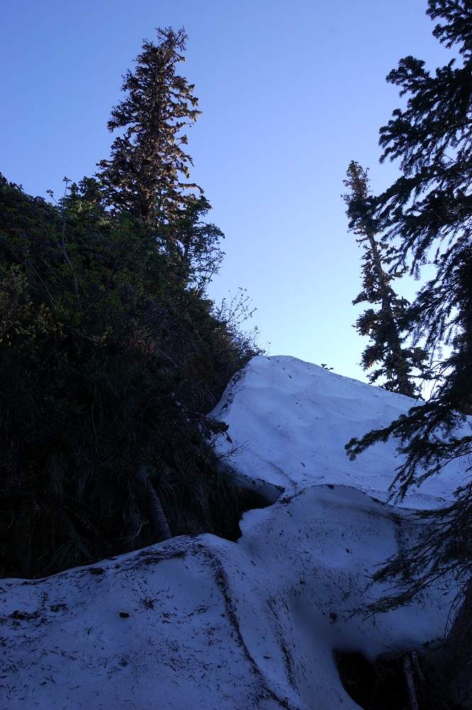 Next I tried to walk around the right side of the rock. We were able to climb this snow drift (10-15 ft high) on east-northeast side all the way to the summit. When this snow drift melts, it's probably a vertical rock there and no easy approach to the sum
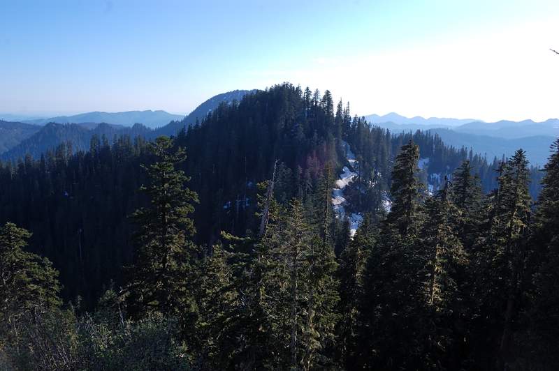 Higher summit to the west
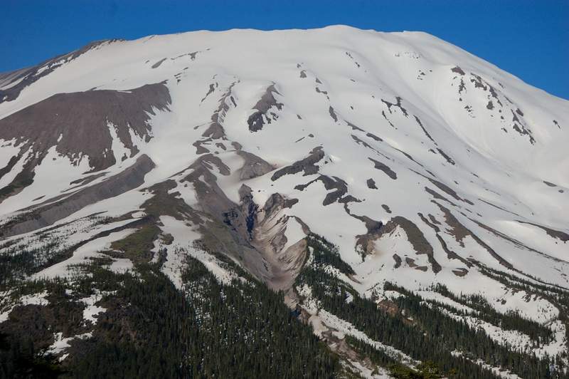
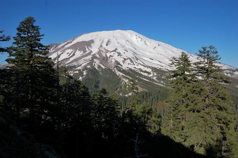 St Helens
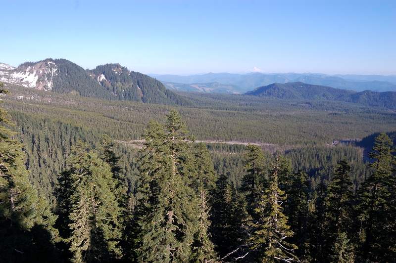 View south
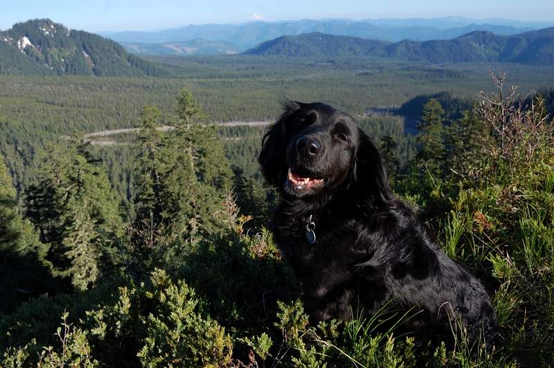 Summit picture!
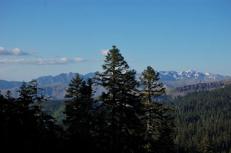 Partly obscured view to the east
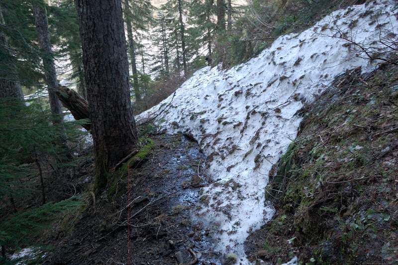 The trail just above Blue Lake
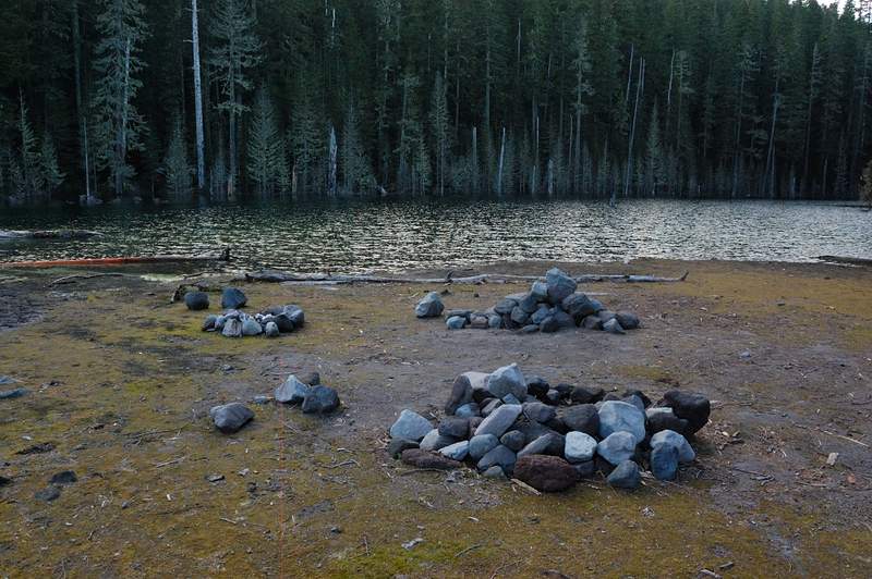
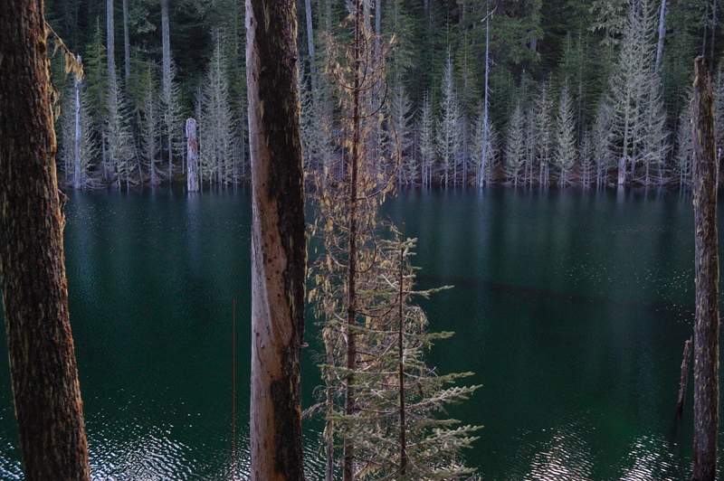 Blue lake - where I want to camp one day!
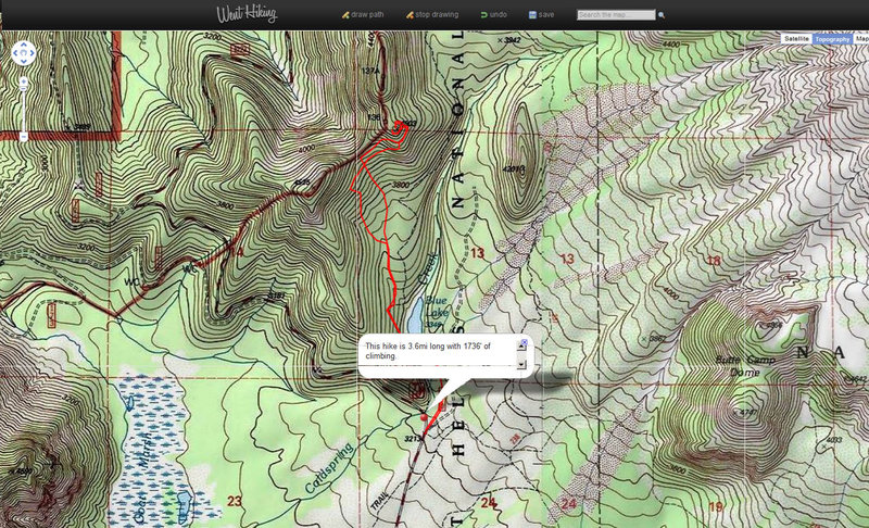 I did the best to find my summit in Google Earth. There is a ridge and my summit is the lower of the 3.