2014 Trips


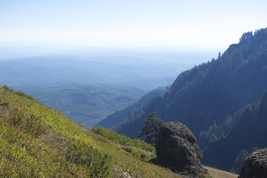
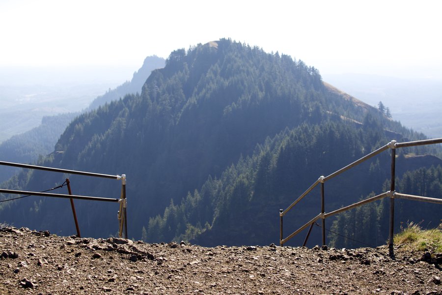
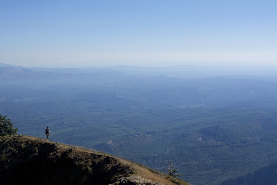
Saddle Mountain
6 miles of hiking • 1500' elevation gain •
Got to the trailhead early to beat the masses. No clouds in the sky, but it was fairly hazy.

September 14, 2014

 1
1
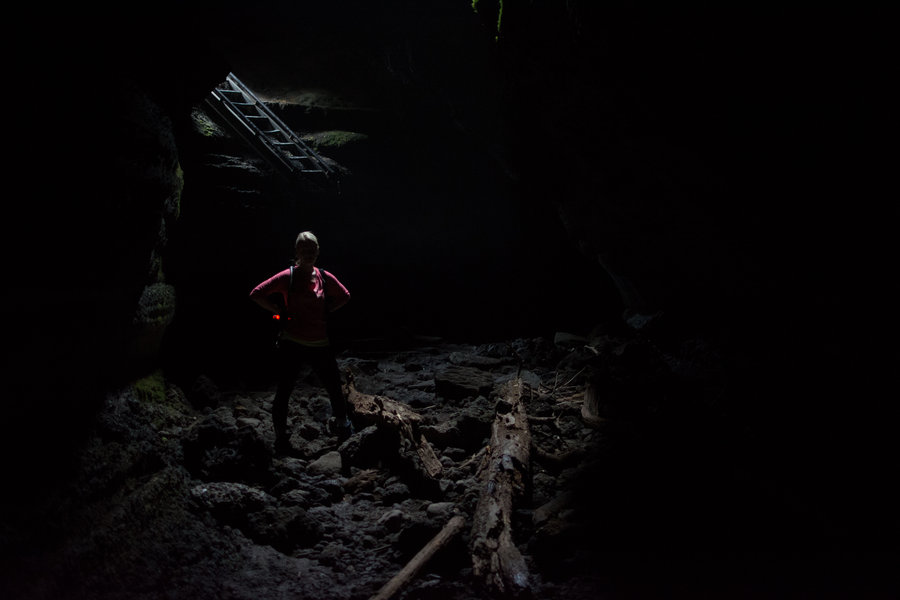
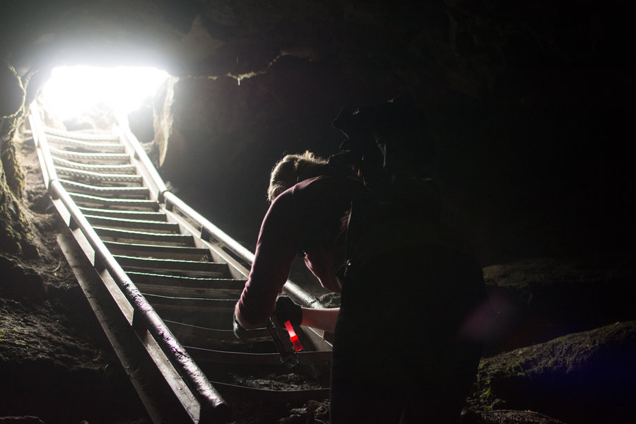
Upper and Lower Ape Cave
4.7 miles of hiking • 250' elevation gain •
We entered the cave through the main entrance, which is the Northern end of the lower cave and the Southern end of the upper cave. We walked down and back the lower cave while we acclimated to the darkness. Then we headed into the upper cave.
To call the upper cave a 'hike' is a bit misleading, it's more bouldering than anything. Much more of a full body workout than a hike. The upper cave is about 1.5 miles to the Northern exit and connects to a surface return trail of about the same length.
The upper portion is strenuous, but not overwhelming for people in reasonable shape. There are a couple ledges to get up (assuming you're going South -> North), one about 8 feet tall and another 6 footer. Not as hard as it looks. A little scary though.
Overall, the milage (if you do both upper and lower) is less than 5 miles. This is one everybody should do.
August 31, 2014