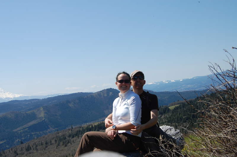
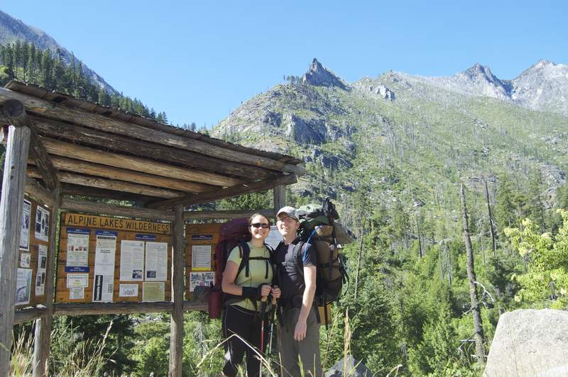
2011 Trips


September 2 – September 5, 2011

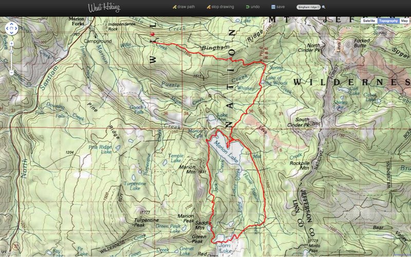
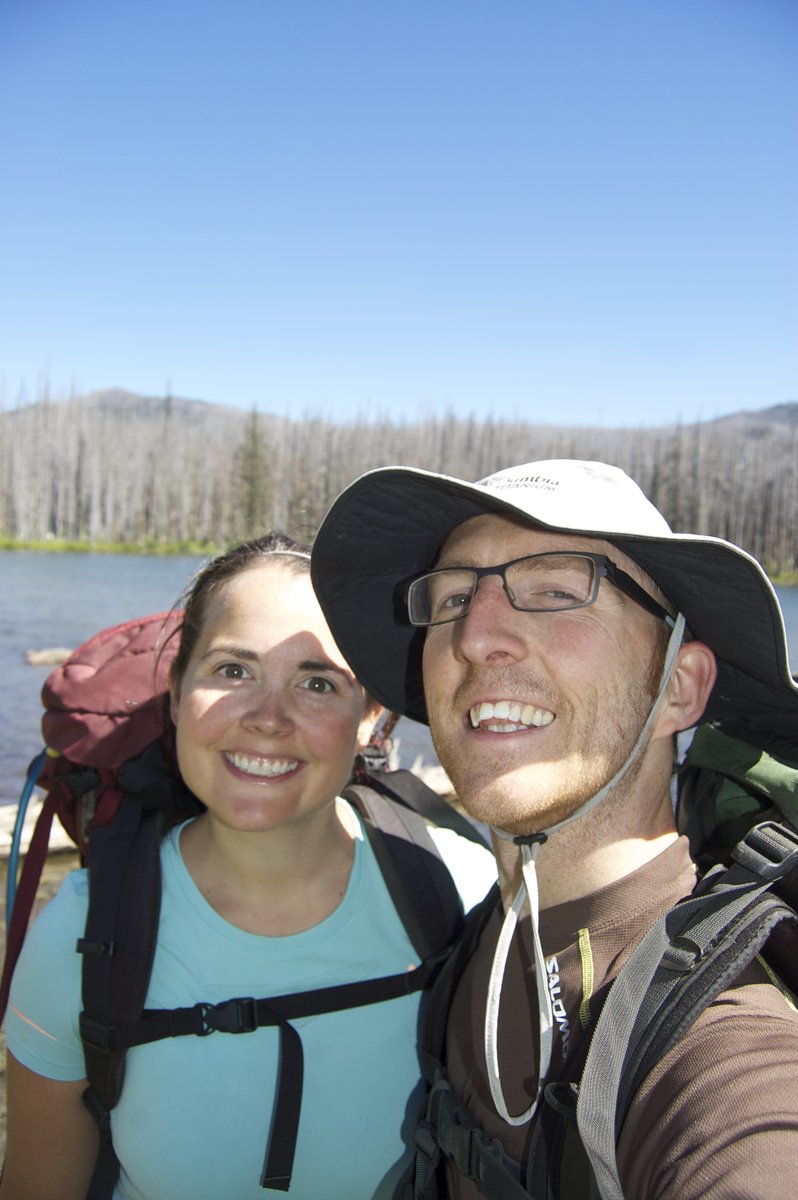
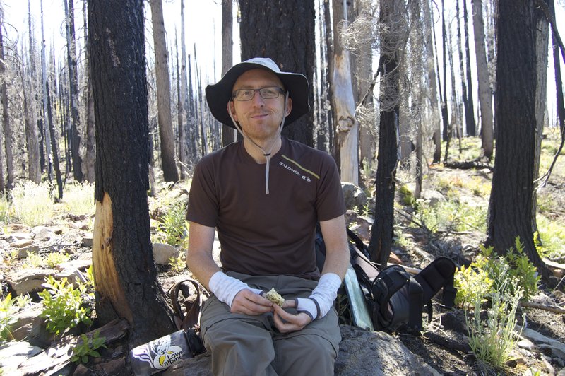
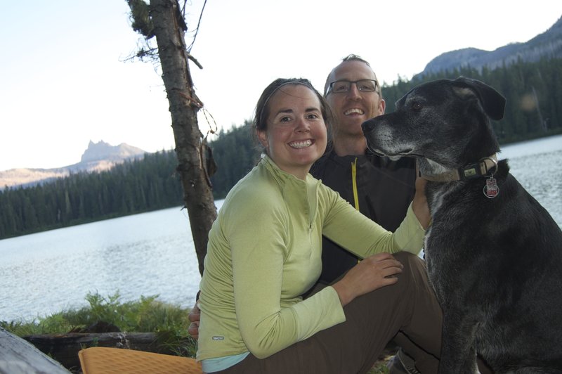
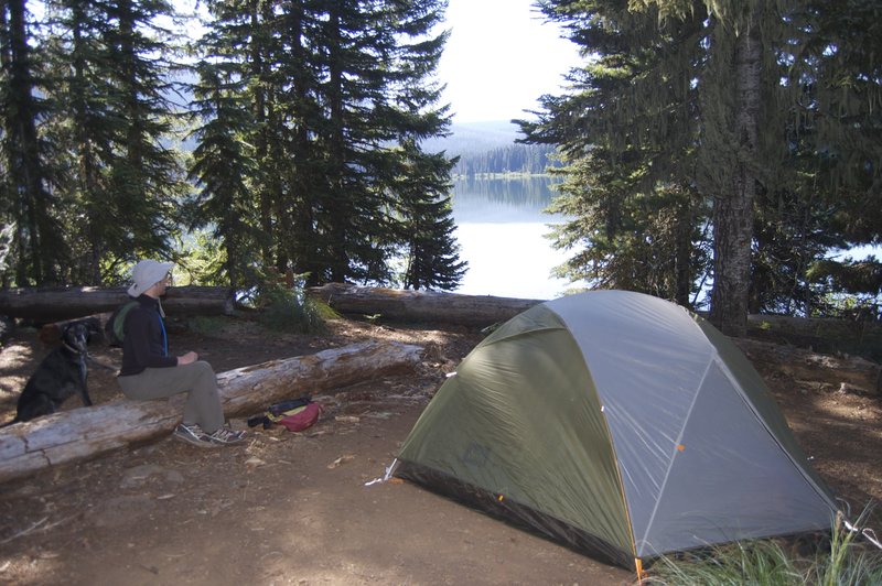
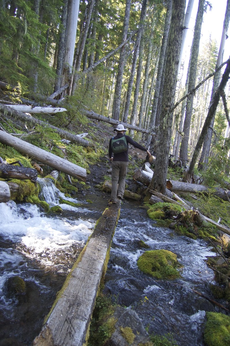

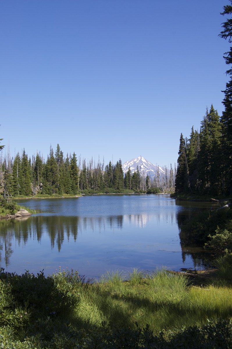
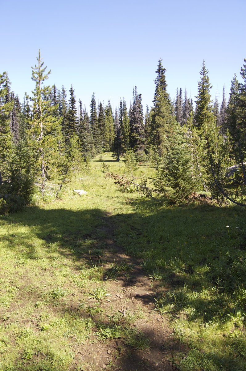


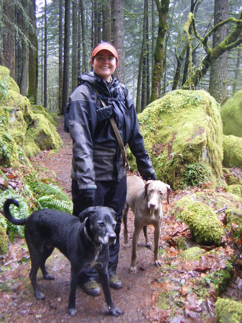
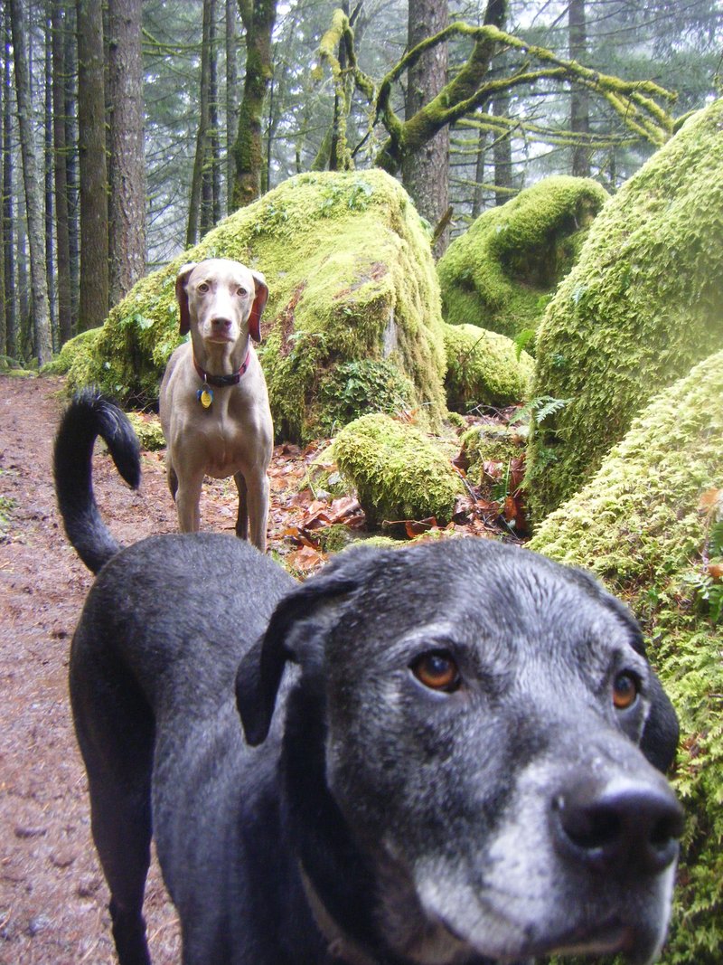
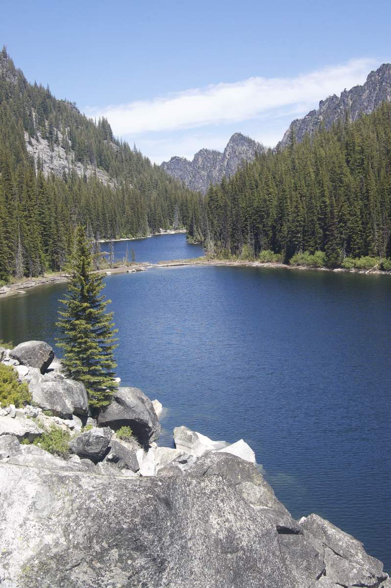
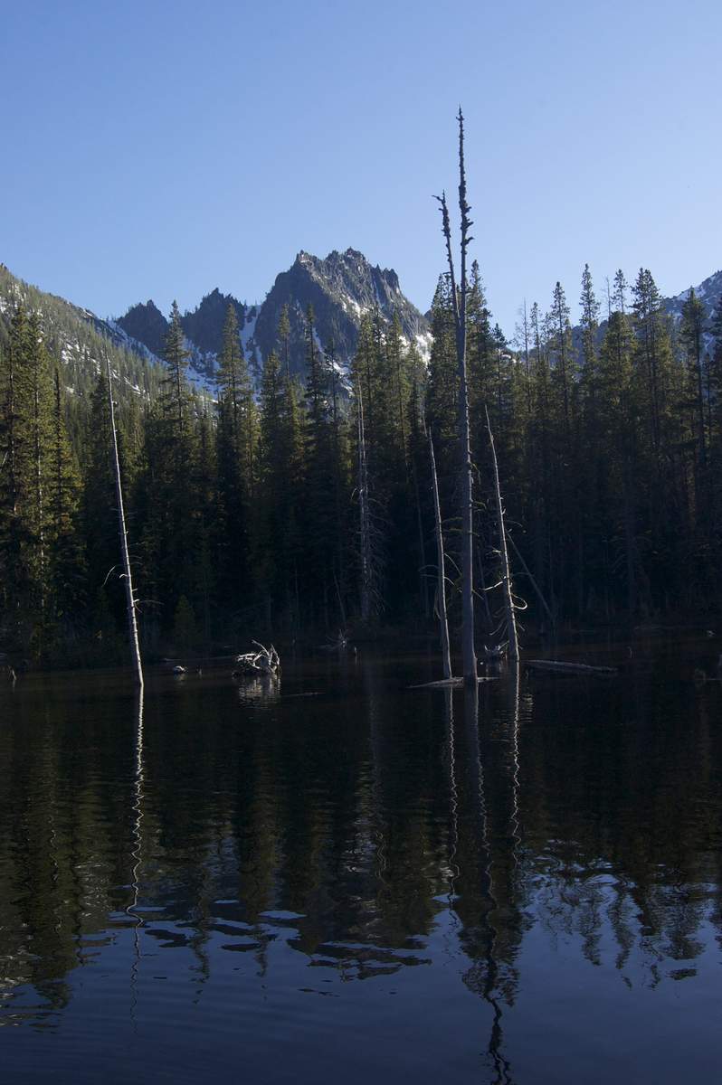
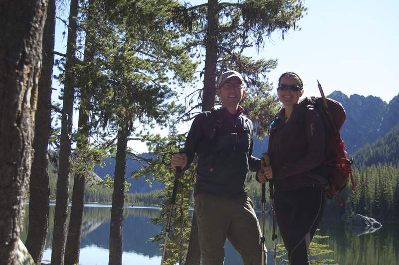
August 26 – August 28, 2011


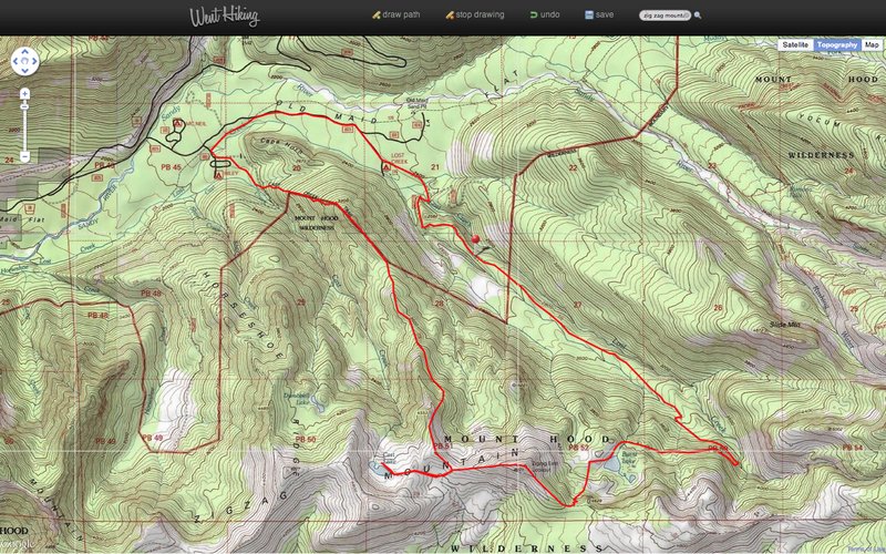
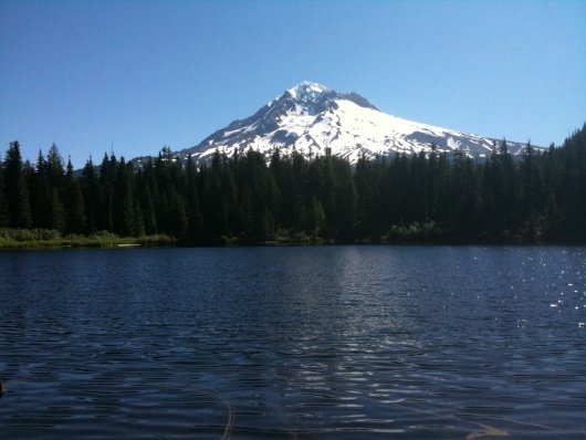
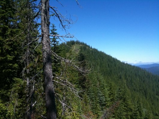
Burnt & Cass Lake w/ Zig Zag Mtn
12.5 miles of hiking • 4000' elevation gain • 1 night
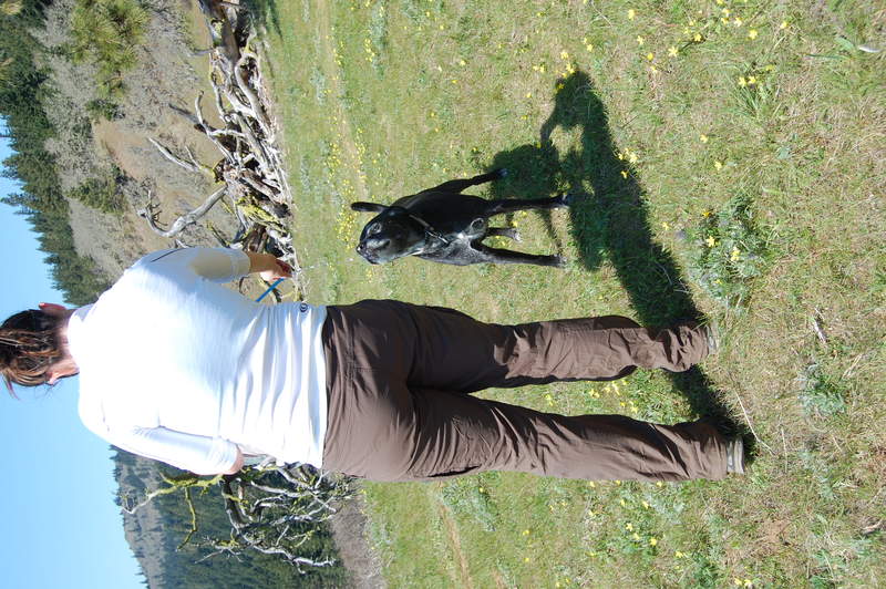
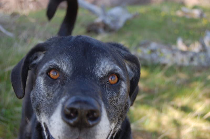
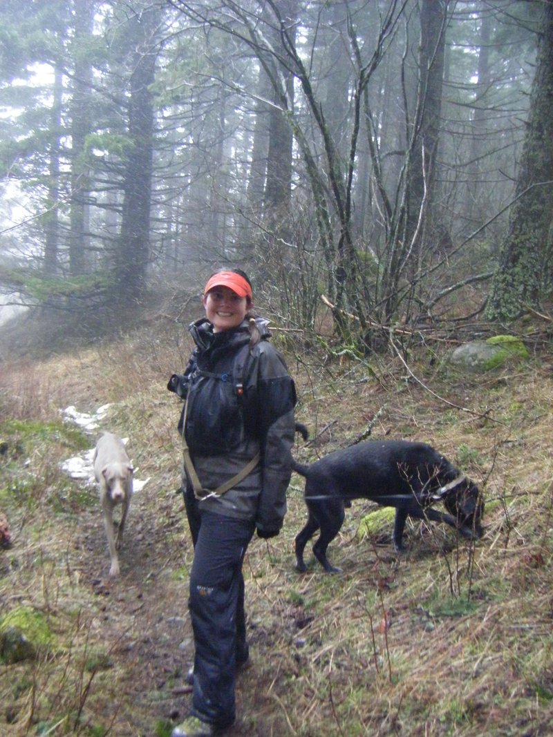
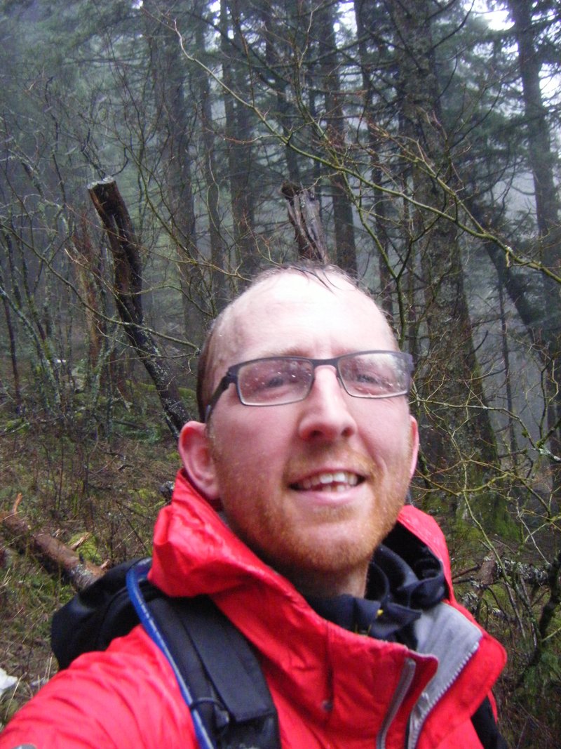
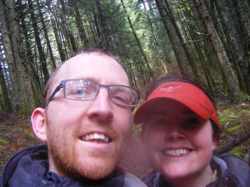
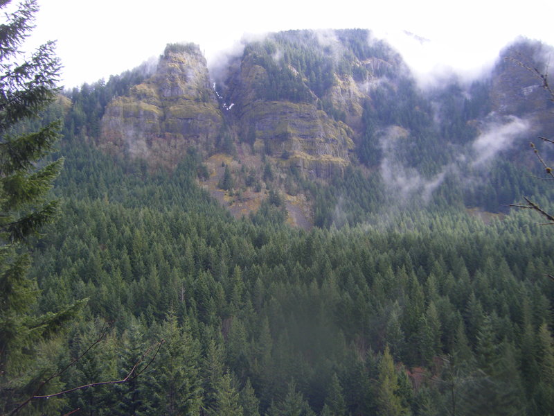
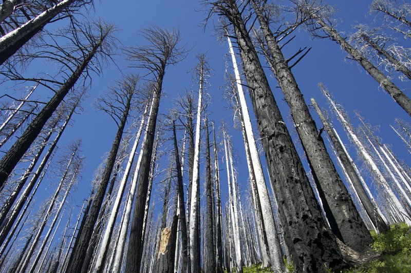
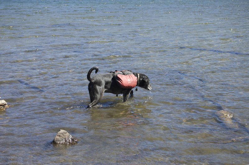
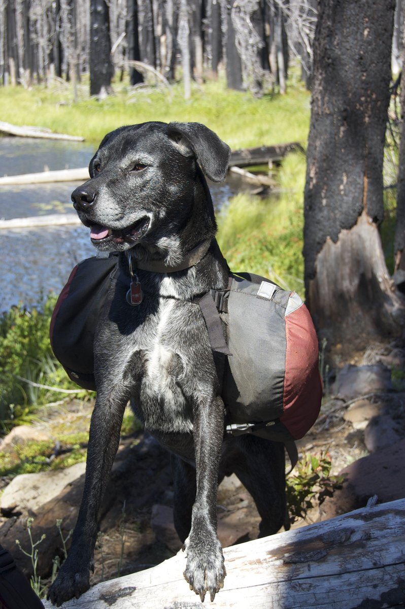
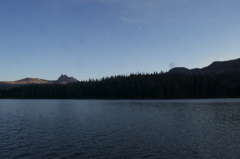
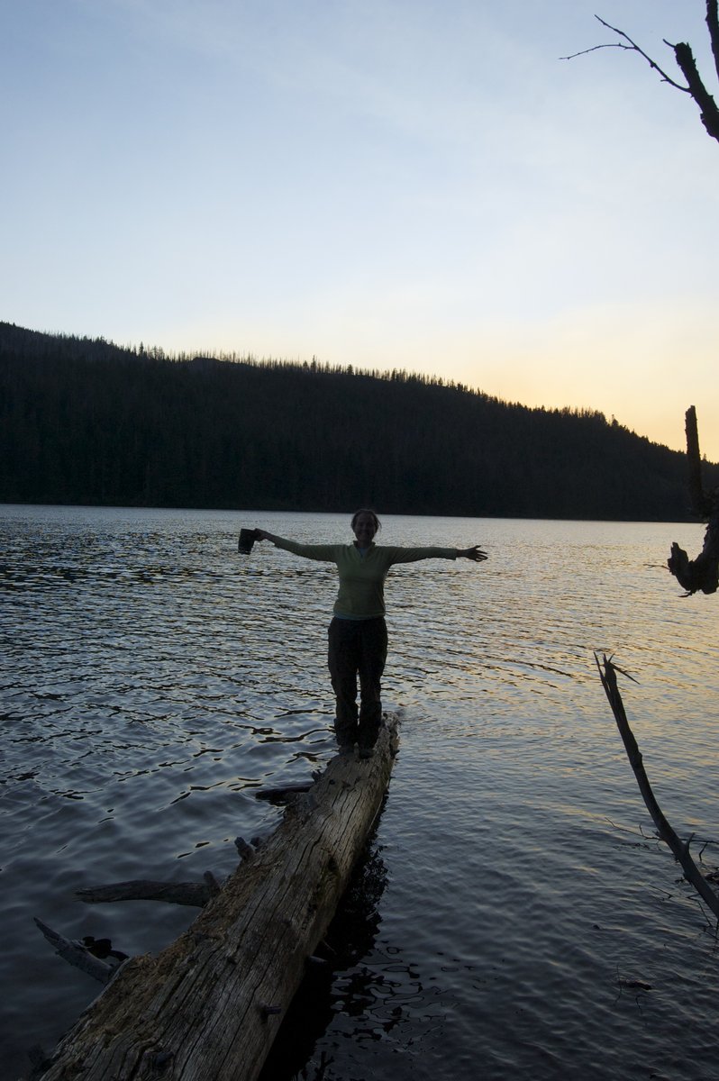
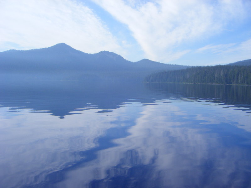
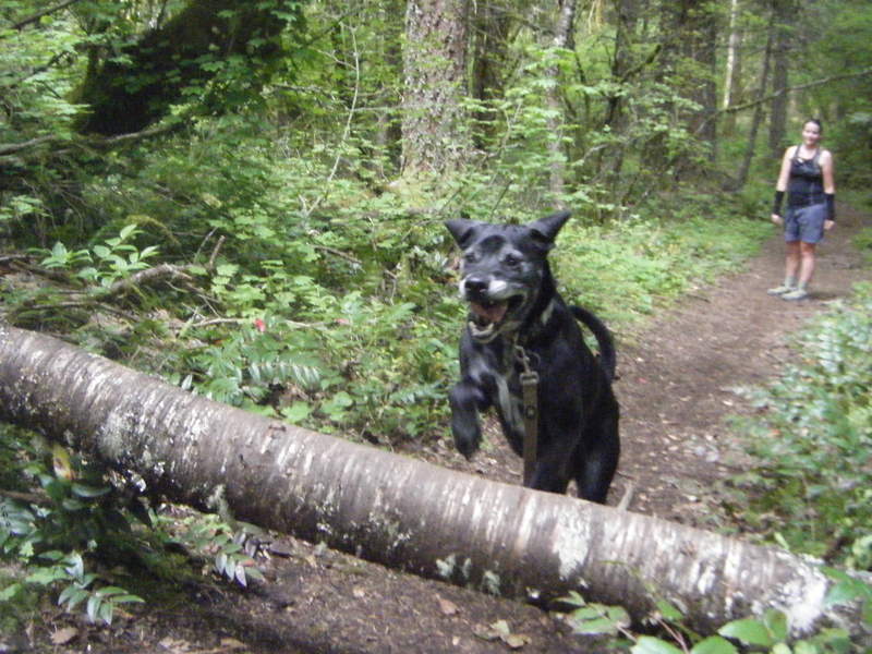
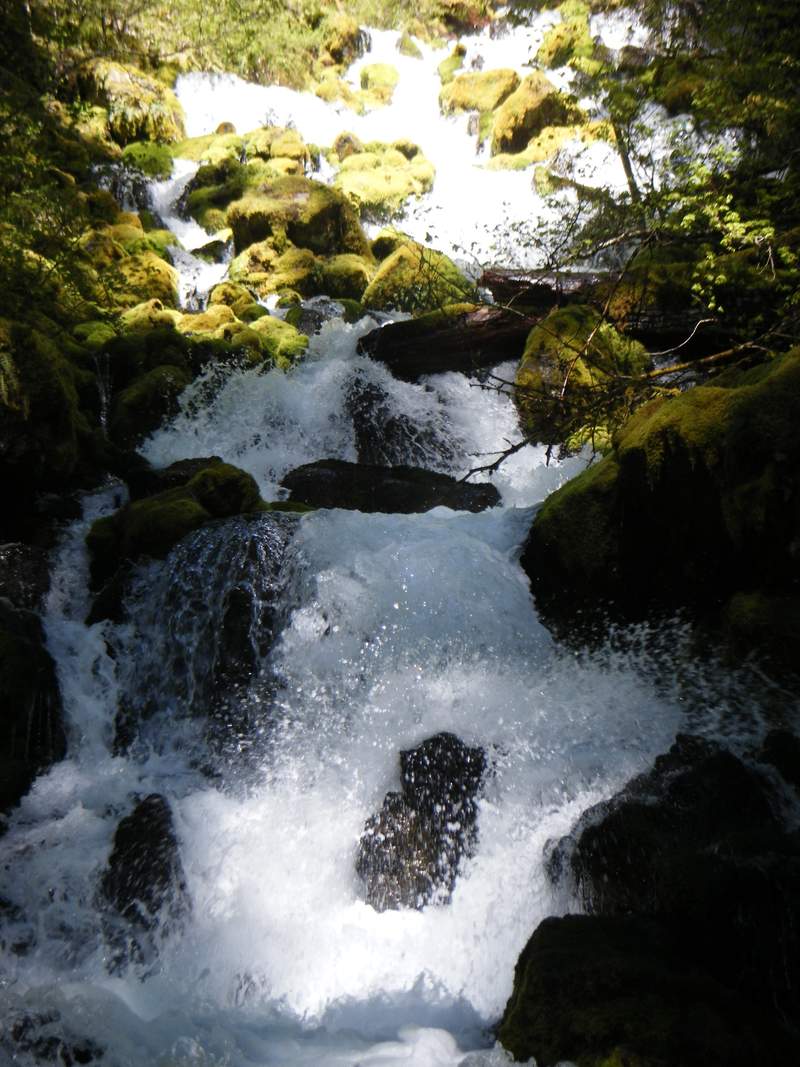
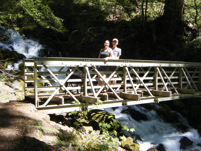
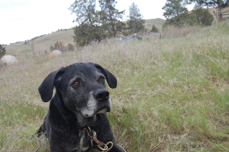
This overnight trip/hike has been on our to-do list for quite a while and we finally got to complete it. Original plan was to hike into and camp at Burnt Lake, but when we arrived there were only a few sites left and none that really caught our attention. So then we decided to continue on to Cast Lake which ended up being a great call. We ended up doing around 6 miles and 3000' elevation gain that day - and being the first loooong trip that our dog has done since returning from the DL it was more than enough. Climbing up and over Zig Zag as the sun was setting was incredibly peaceful and offered some amazing vistas looking down into the MHNF.
In the morning we broke camp after eating tasty spam & eggs for breakfast and headed down the mountain. It was one of the few hot and dry days that we have had this summer - and once we made it back to the road and through the Riley Horse Campground we were punished by the heat radiating off of the road and without cover from the sun for the last 3 miles. We made a decision to try and hitch hike up to our car at one point on the next car that drove by - well that didn't happen as we did not see one additional car from that time until we had arrived at our car and finished loading the bags into the trunk. Very funny and ironic, but it was a great overnight trip and would definitely recommend this for a quick in and out trip that is a nice loop to not double back on your tracks.
August 13 – August 14, 2011


 2
2
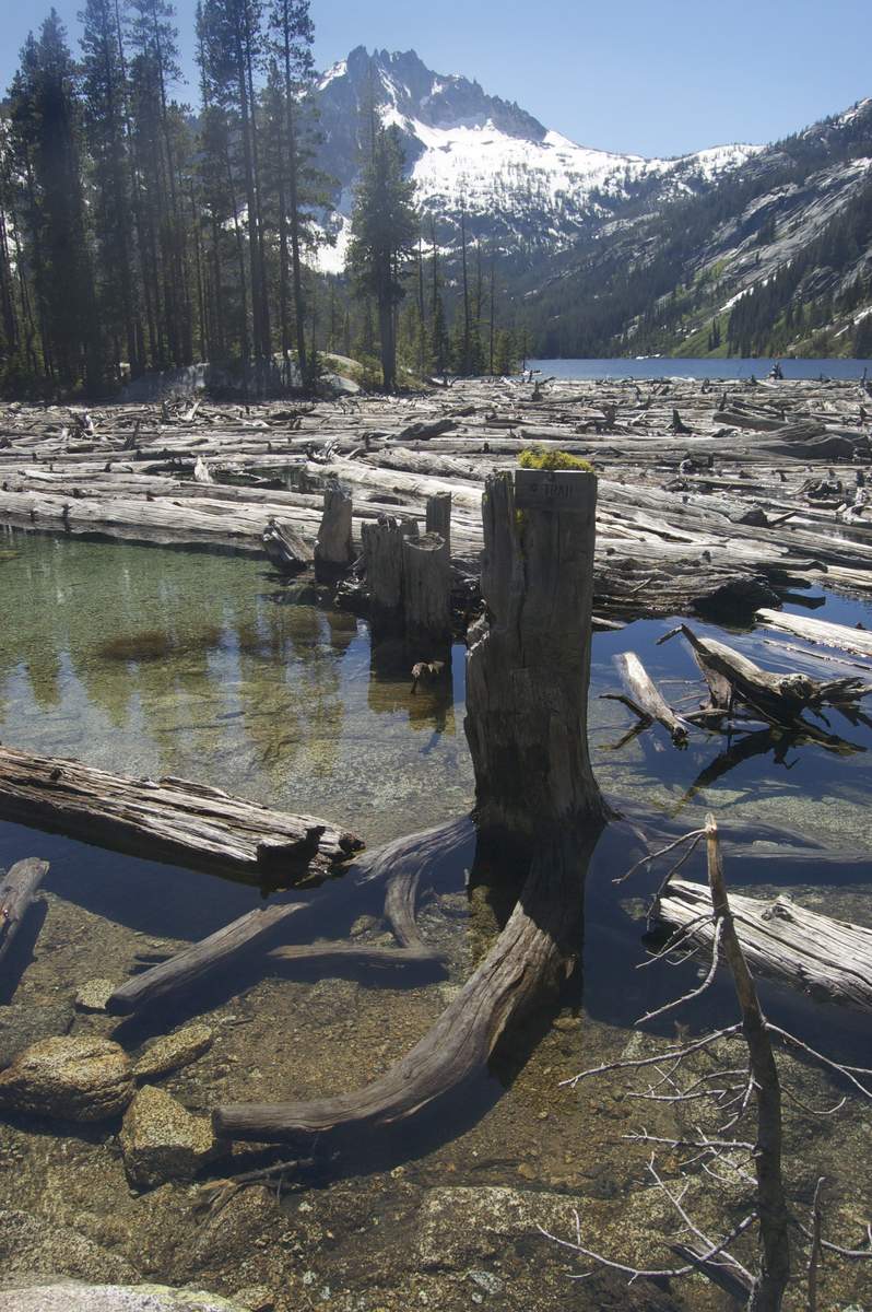
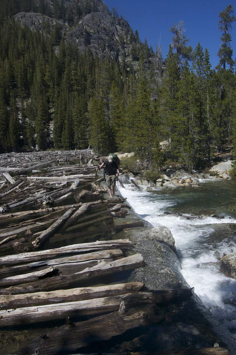
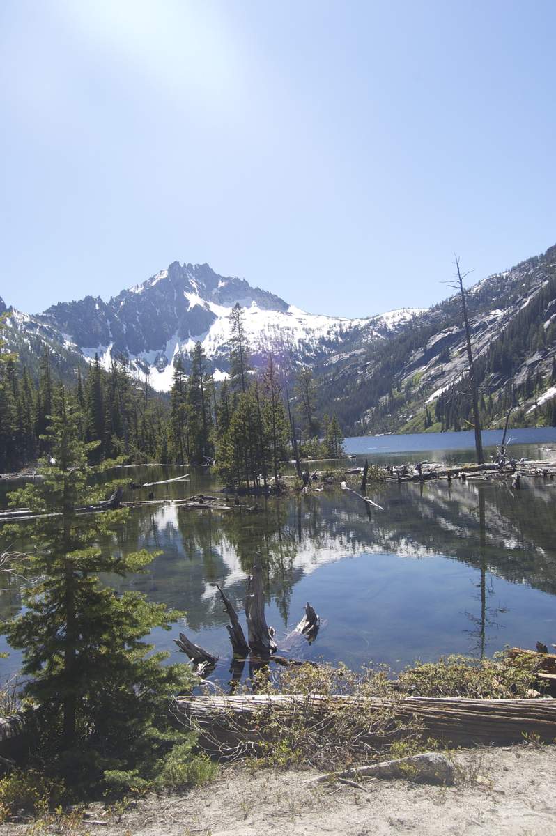
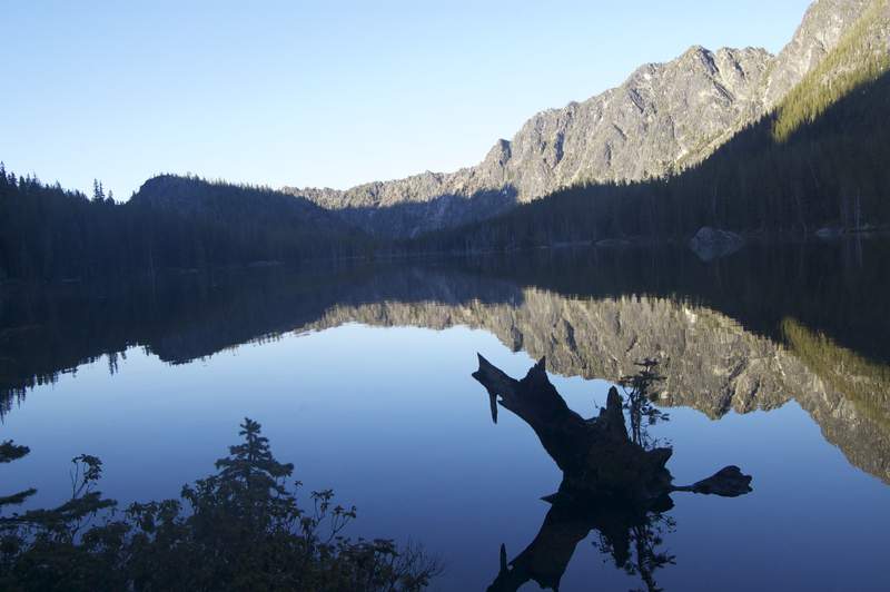
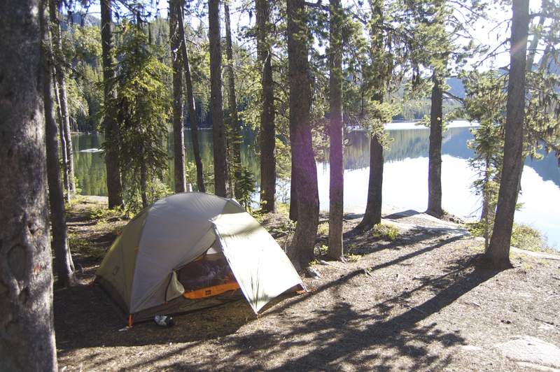
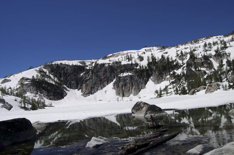
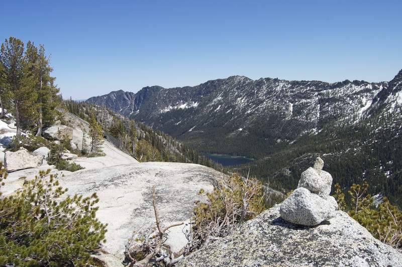
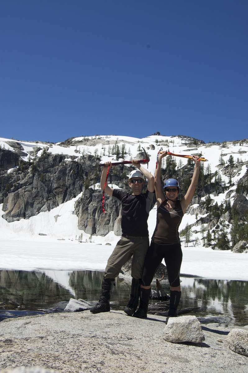
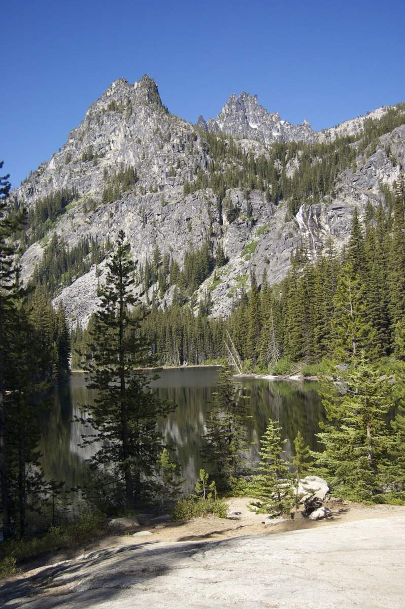
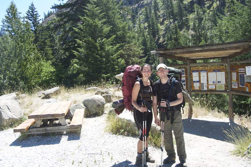
Enchantment Lakes - Snow Lakes TH
21 miles of hiking • 6750' elevation gain • 3 nights
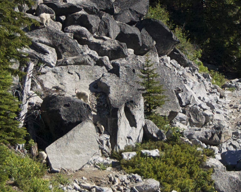
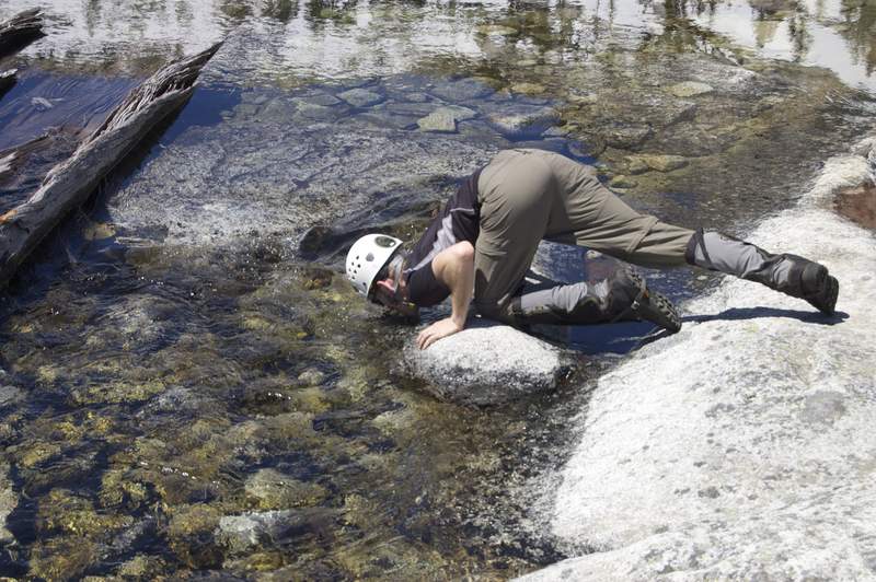
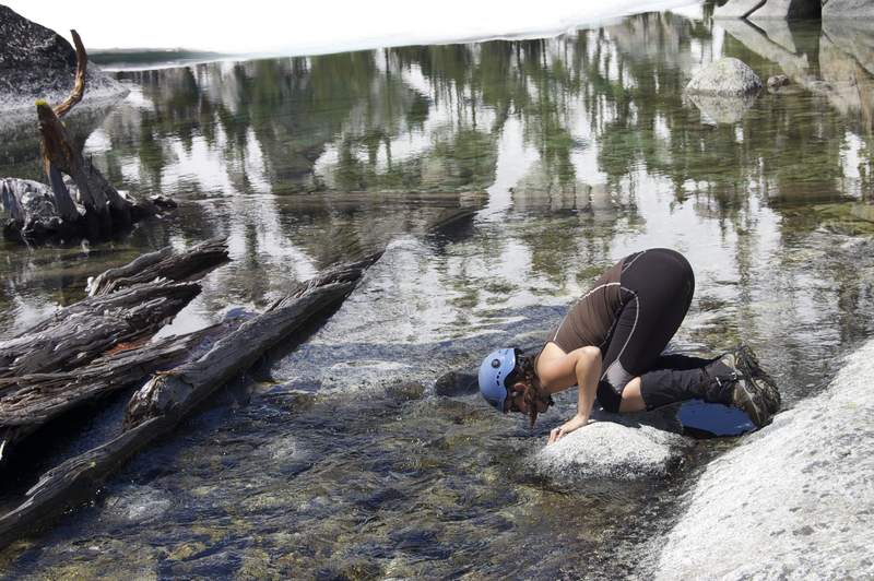
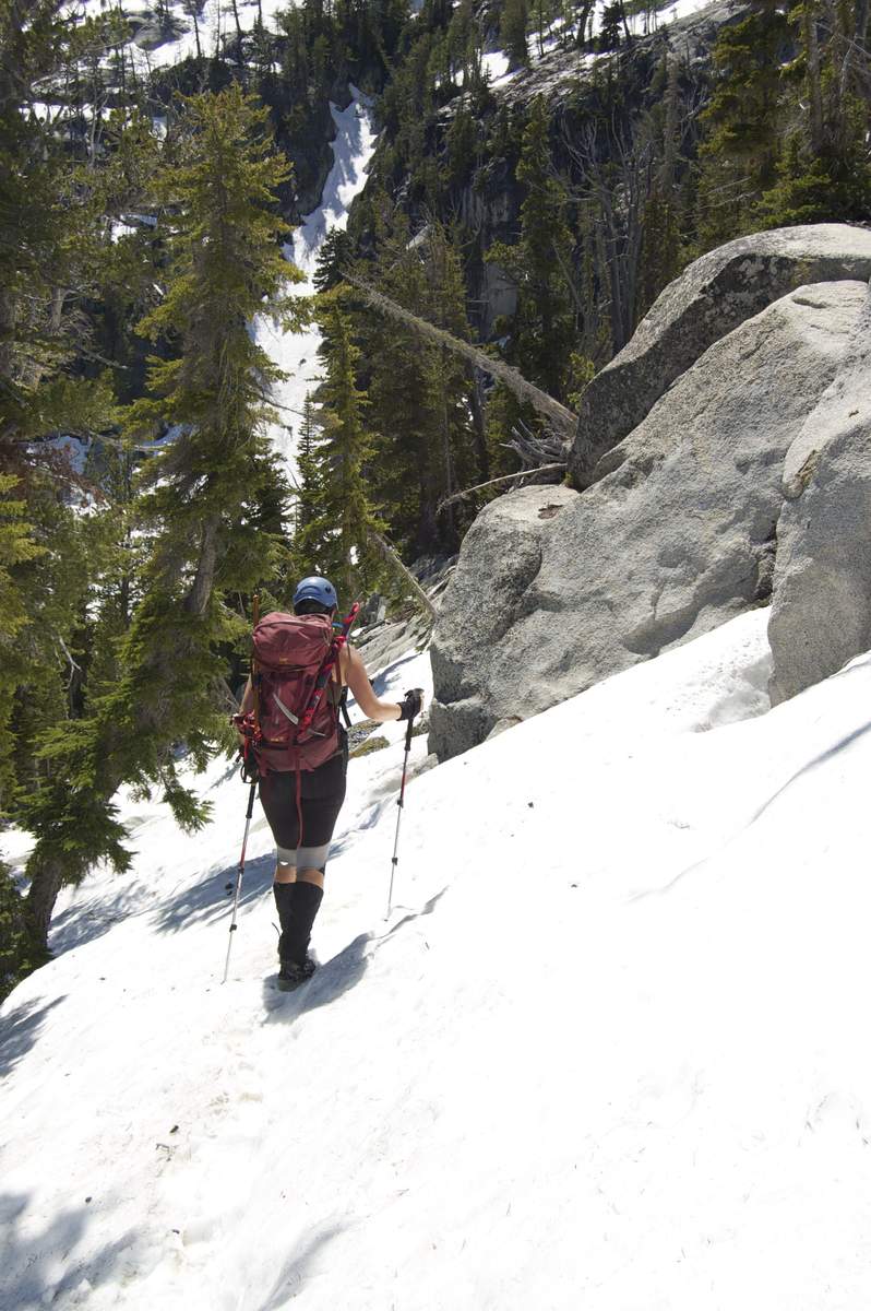
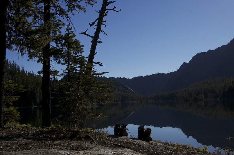
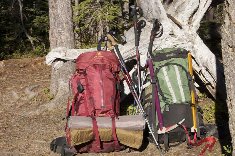
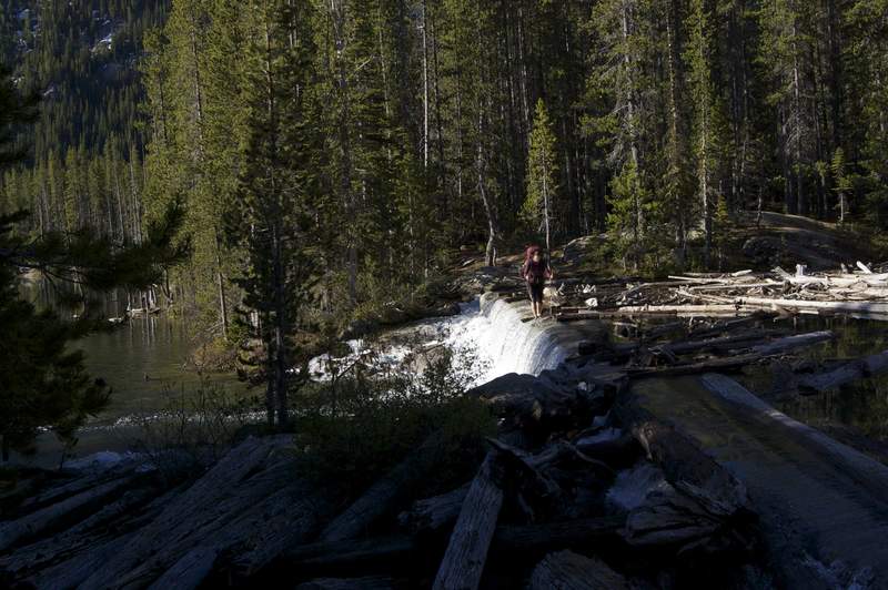
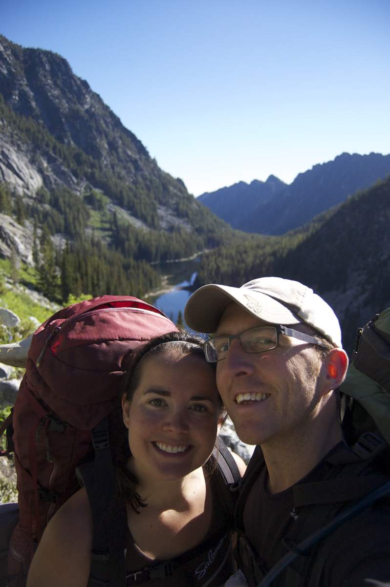
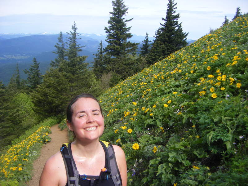
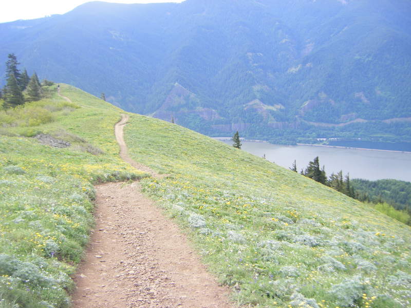
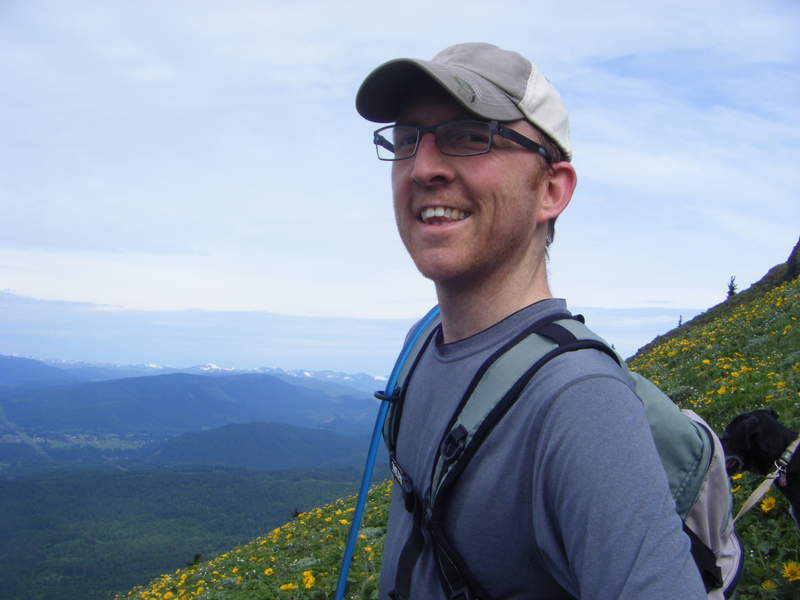
Took a few days to take advantage of our lottery permit to the Enchantments. After car camping the night before at nearby Lake Wenatchee SP (crowded - ugh), we left out of the Snow Lakes TH around 10 am and made it to Snow Lakes dam in about 5 hrs. Quite a long, steady, uphill climb. Passed over the dam, and then headed to the far southwest side of the lake in search of a campsite (per the advice of other hikers). We found what we thought was the perfect campsite, but after a little stand-off with a mountain goat, we retraced our steps to the other side of the lake and found the most beautiful campsite ever. A little shout-out of thanks to the goat - for we thought our new campsite could not be beat. Not only did we get to enjoy the lake to ourselves - but we got evening sun and morning sun - the best of both worlds. The next morning we got up and headed back to the SW side of Snow Lakes to head up to the Core Enchantments. We had a leisurely filled morning - and then headed out around 10am. We got the SW side of the lake, and ran into the SAME goat. We decided to let him win the stand-off (once again) - and we went back to the other side of the lake. He ended up following us the whole way (about a mile or so). We were able to easily scare him off with a stick - he just wanted to see what we were up to - very passive goat (thank goodness). We were able to meander around him and then head off on our day hike up to Lake Vivian. After a long trek up the mountain - we were able to persevere through the difficult route finding (snow, mud, and lack of trail) and make it to the top!! It was breathtaking at the top. Both of us were at a loss of words! We only stayed up top for a bit - enough to enjoy the views, but not long enough to overstay our welcome by some nearby goats. We headed back down the mountain through the snow, down across the footbridge, and back to the other side of the lake. We enjoyed the rest of the day (a few hours) by hanging out on our little rock - baking in the sun. We got huddled in for the night - but just as we were about to fall asleep - we were shocked to hear a visitor in our camp. The mountain goat was back - in search of salt and snacks. He meandered around for a while - but left peacefully. The next morning we got up early - enjoyed the warm sun while we ate our breakfast on the side of the lake - and then packed up and prepared to leave. We were about an hour into our hike back when we ran into a huge group of mountain goats with kids - about 12 in total. All of them scurried off fairly quickly - except for one stubborn mama and kid - which lingered for about 15 min. We were able to get them to move off the trail (peacefully) and we passed them with ease! We ended up making it back down to the car around noon - just before the heat of the day really set in. We had an amazing time, unbelievable weather, and are looking forward to our next trip back. Enjoy the photos!
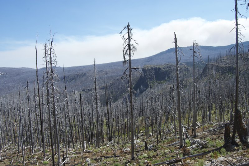
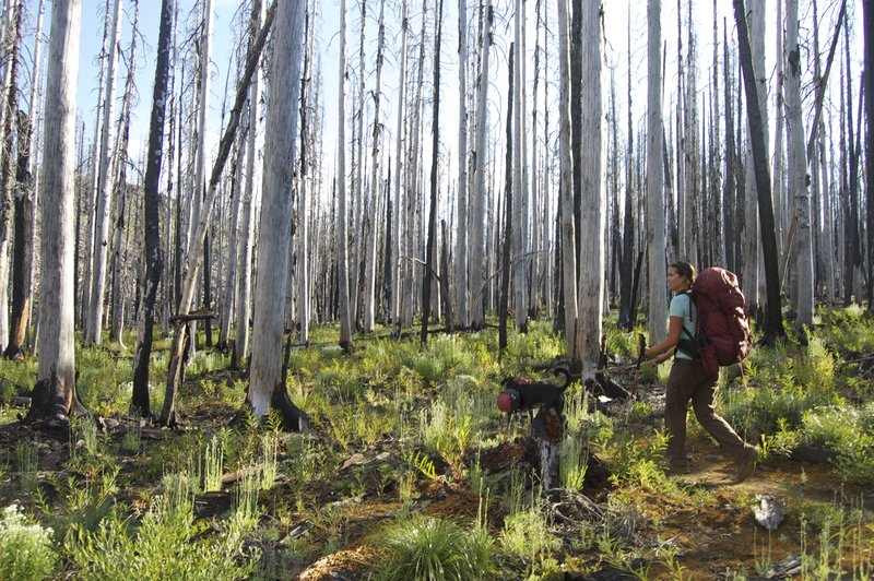
July 3 – July 6, 2011

 2
2
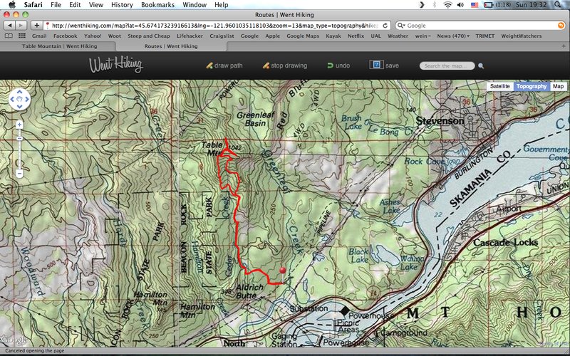
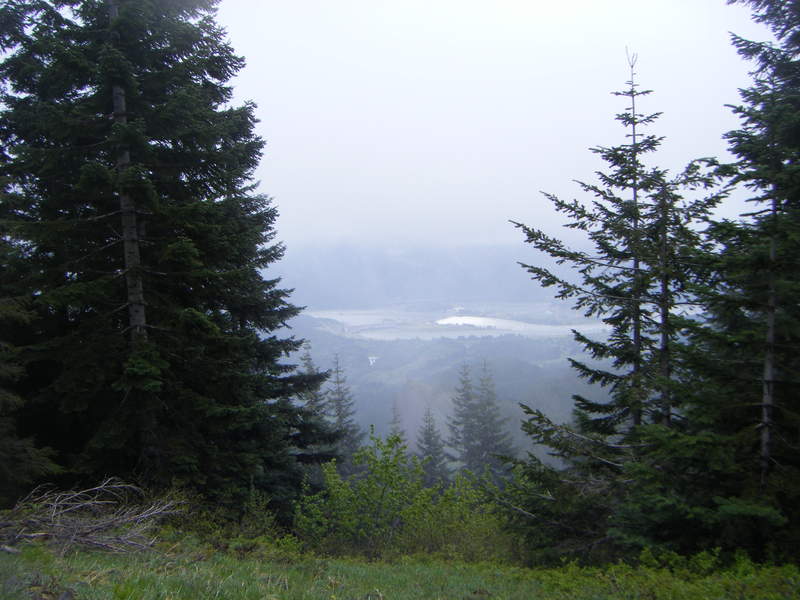
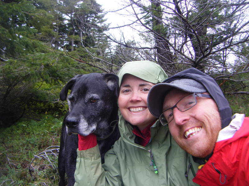
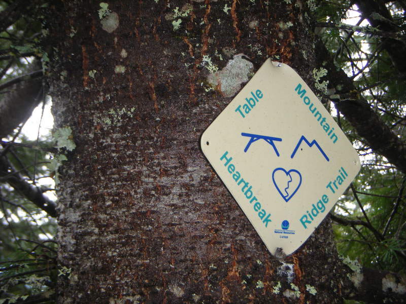
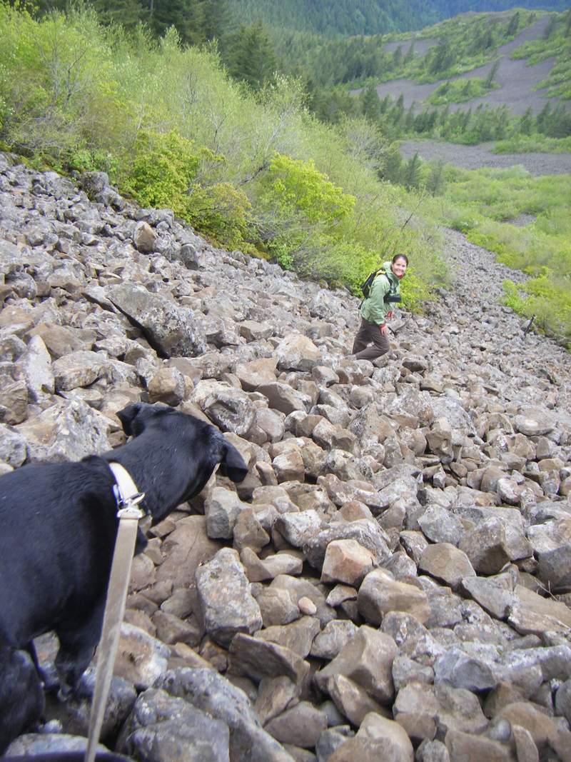
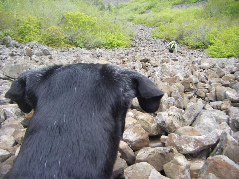
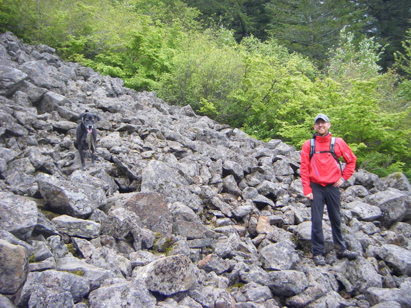
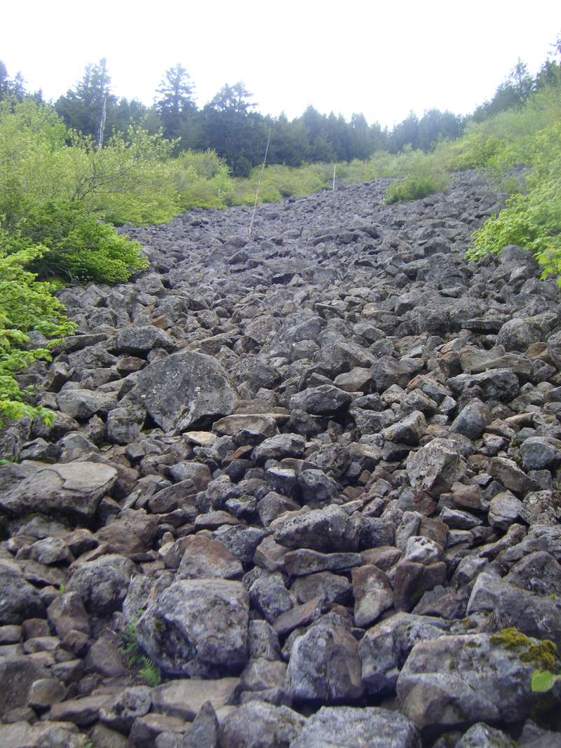
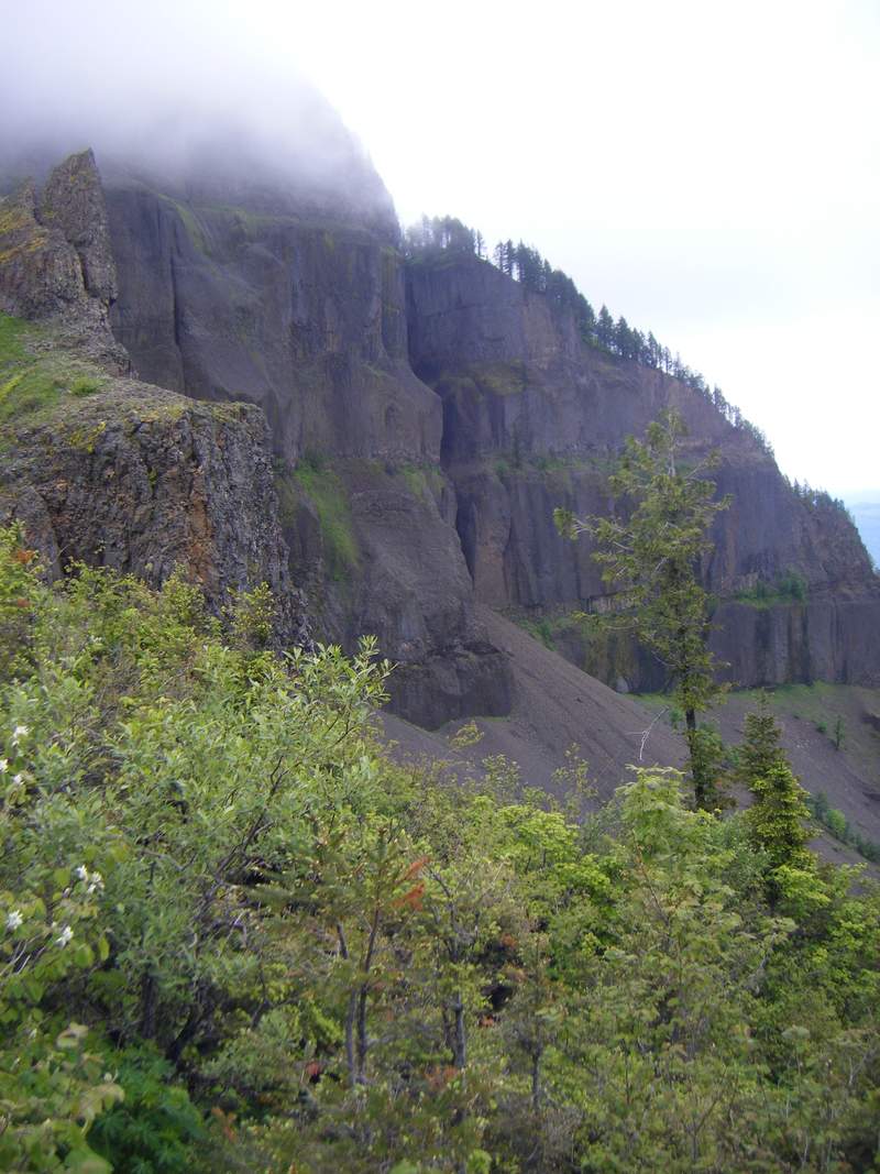
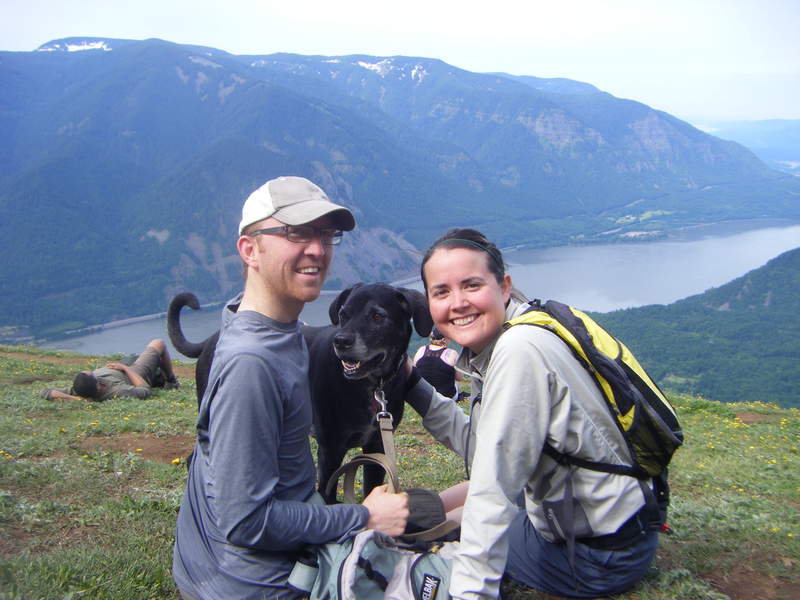
Table Mountain
9 miles of hiking • 4250' elevation gain •
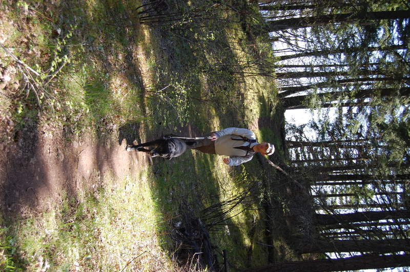
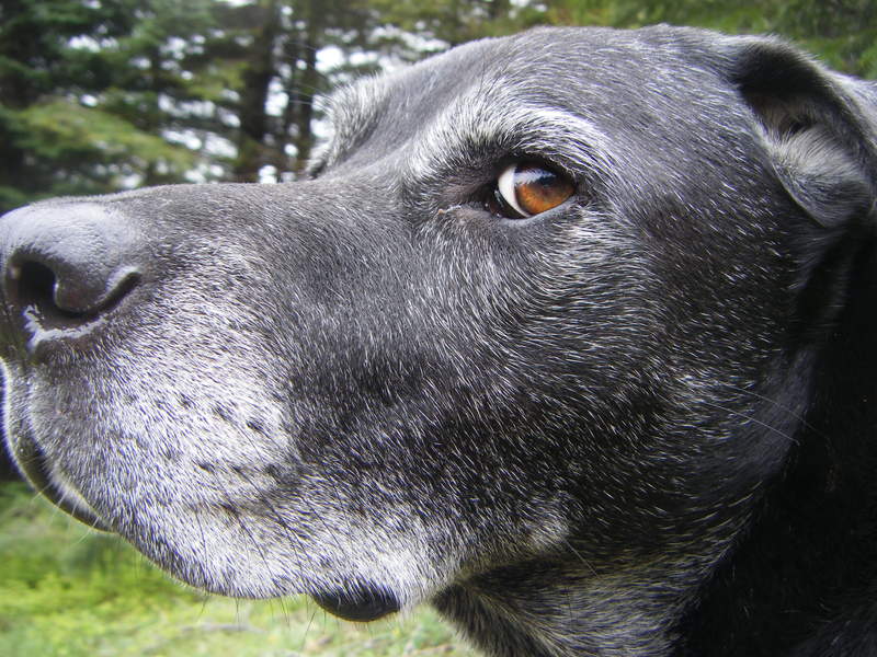
Headed out around 9am and headed out at the trailhead around 10am. Went up past Carpenter Lake and connected with the PCT. We ended up taking the middle route up (not heartbreak nor the PCT). It was a beautiful, windy climb...but the loose rocks weren't so great for Wrangell. We made it to the top and had BEAUTIFUL views of fog! Gorgeous. We did take a break and have our lunch, in hopes that the sun would break through. We got quite a few views of the Gorge (but none of the tall peaks). Regardless, it was still a nice day to sit up top, have some lunch, and enjoy the quiet. We headed down the Heartbreak Ridge trail. The talus slope was fun for us as we got to watch Wrangell choose his own adventure. Usually the 4 legs helps him out..but it was difficult to find 4 stable rocks for him to stand on...regardless, he did great. Finished up the hike around 3pm. It was an empty day out on the trail..ony saw about 2 other groups on the trail total!
June 18, 2011

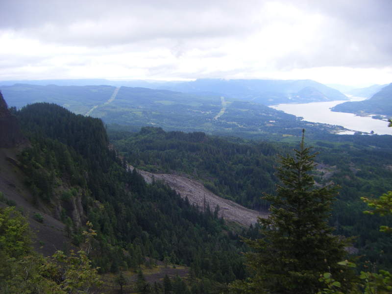
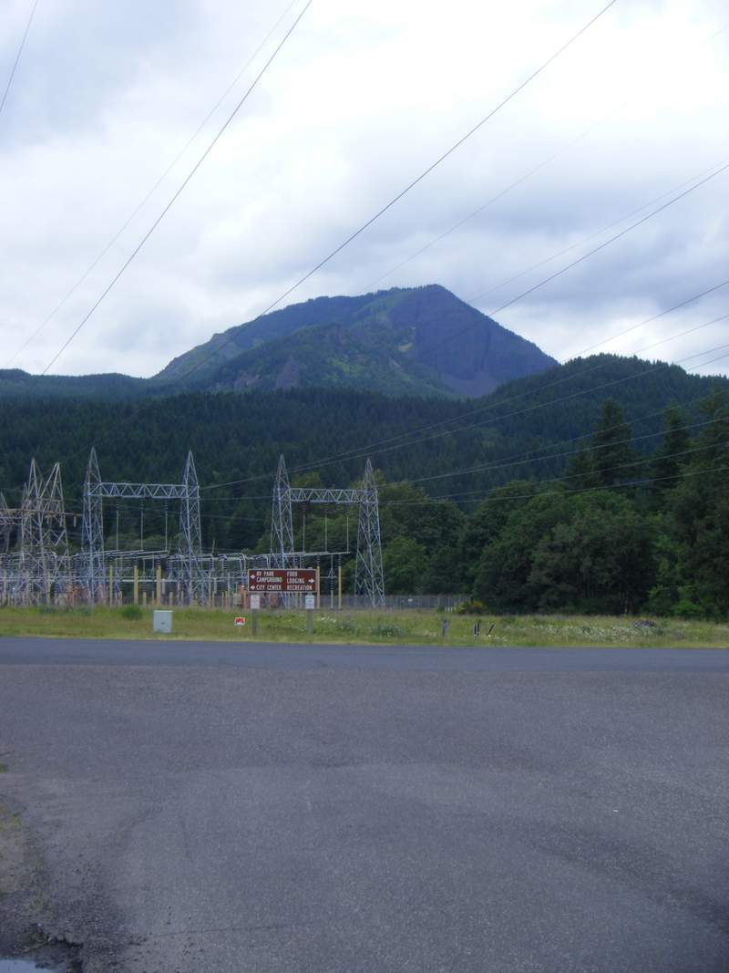
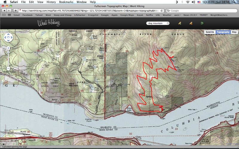
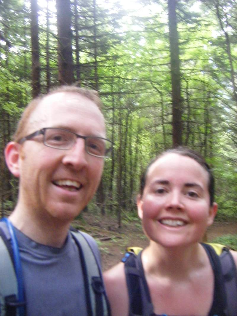
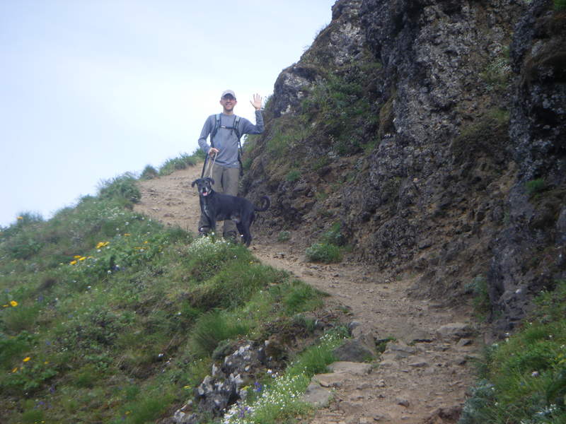
Dog Mtn
7 miles of hiking • 3250' elevation gain •
Beautiful day for a hike up Dog Mtn. Got to the parking early to avoid the crowds. We decided to go up the "most difficult" route and come down the back side/Auspurger Mtn trail to save the legs. Great views of Hood, Adams, and Helens!!!
June 4, 2011

 1
1
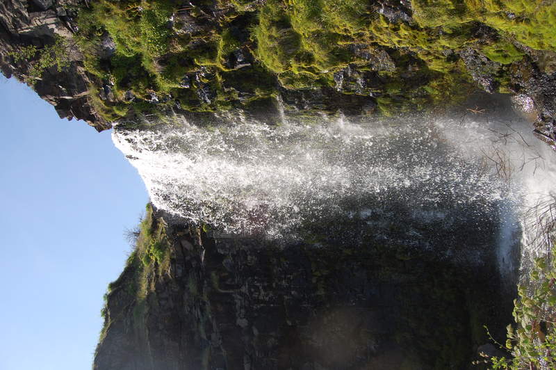
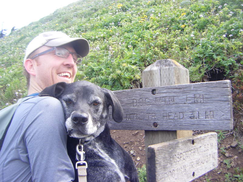
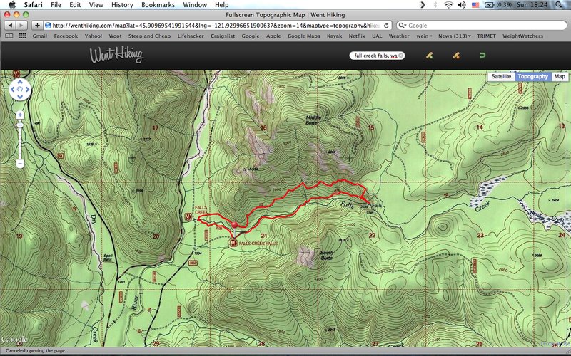
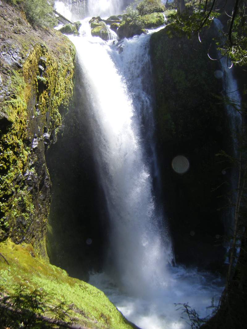
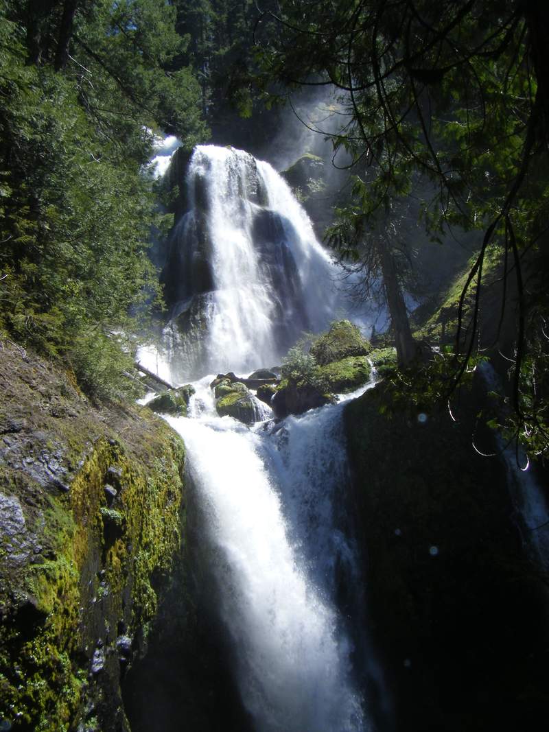
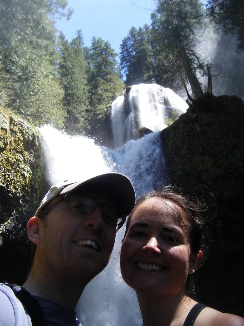
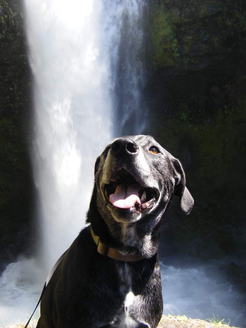
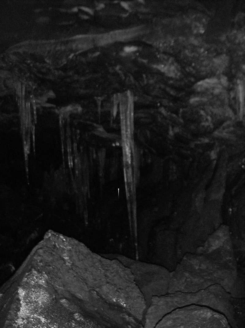
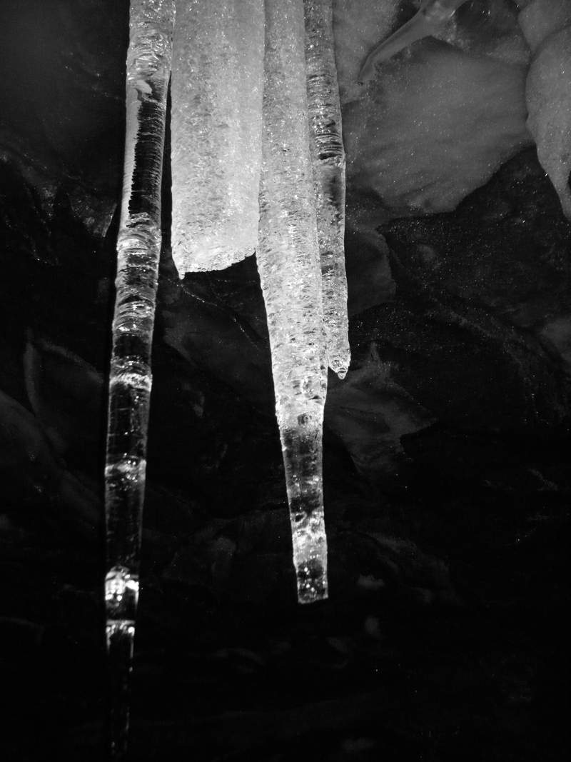
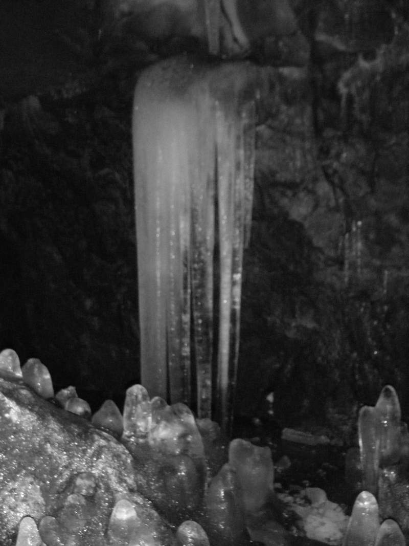
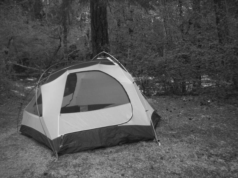
Fall Creek Falls & Ice Caves
4 miles of hiking • 1250' elevation gain • 1 night
Had a late start as we had some things to do in the morning so we drove out for an afternoon stroll to Fall Creek Falls. Started out on the lower falls trail -- saw the beautiful, indescribable view of the falls, then went back on the upper falls trail! Wrangell had some fun in the river. Afterwards, we drove to the opposite side of the pass to the Ice Caves. Very cool and unique. Still lots of snow/ice at the entrance..but beautiful 'stalactite/stalagmite' formations. We ended up staying somewhat nearby at the Trout Creek Campground. Only a few people in the campground and we had a beautiful site to ourselves by the river! Nice temperature - and NO RAIN FLY!!!
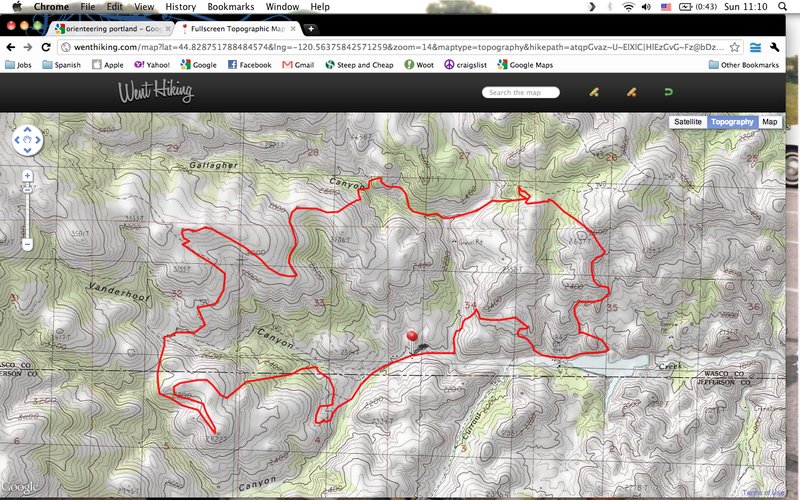
June 3 – June 4, 2011

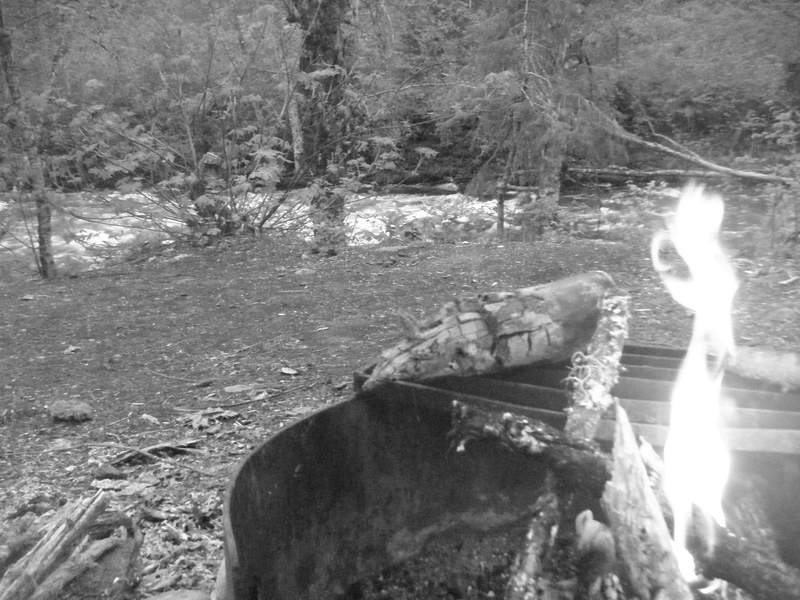
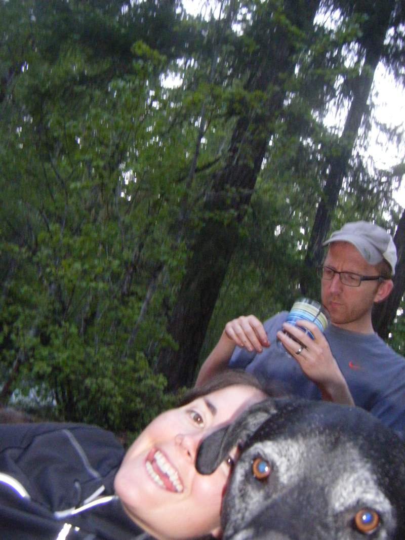
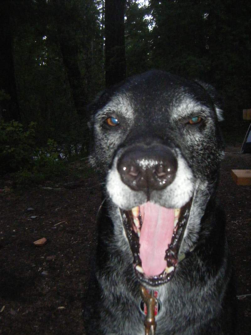
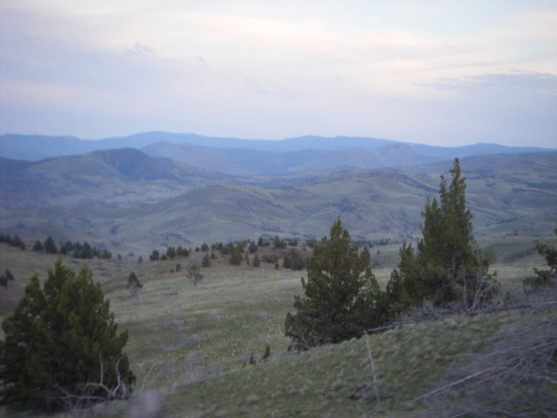
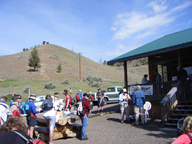
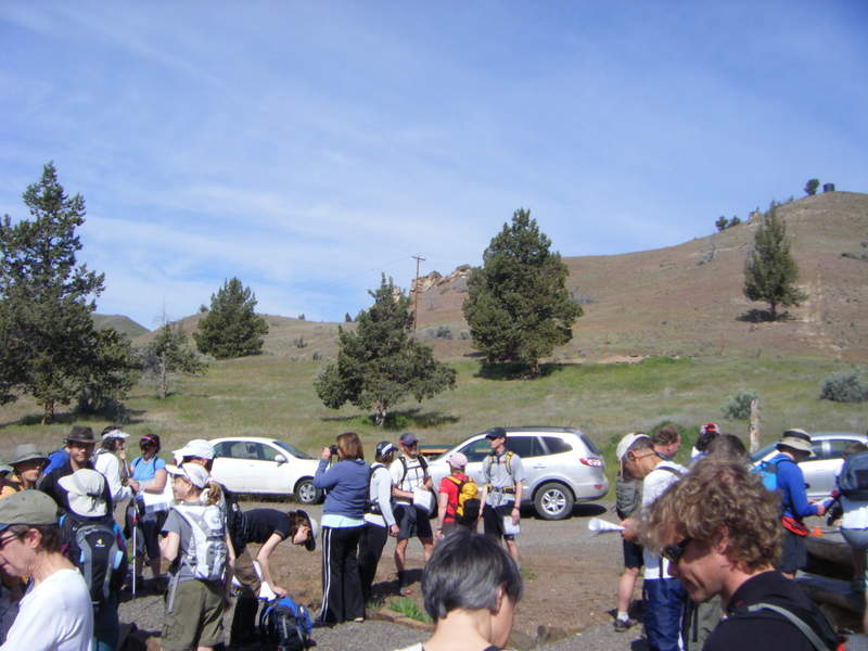
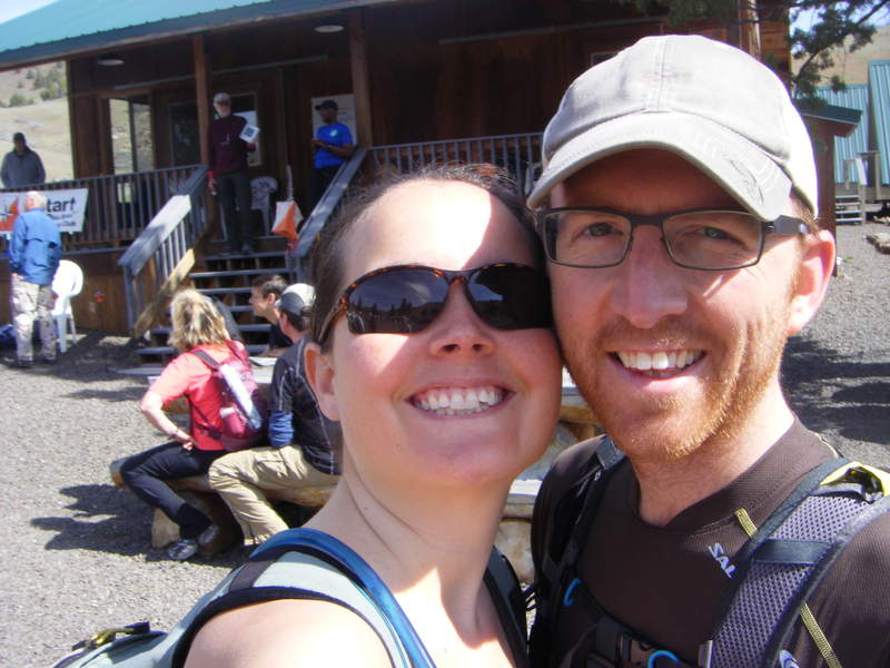
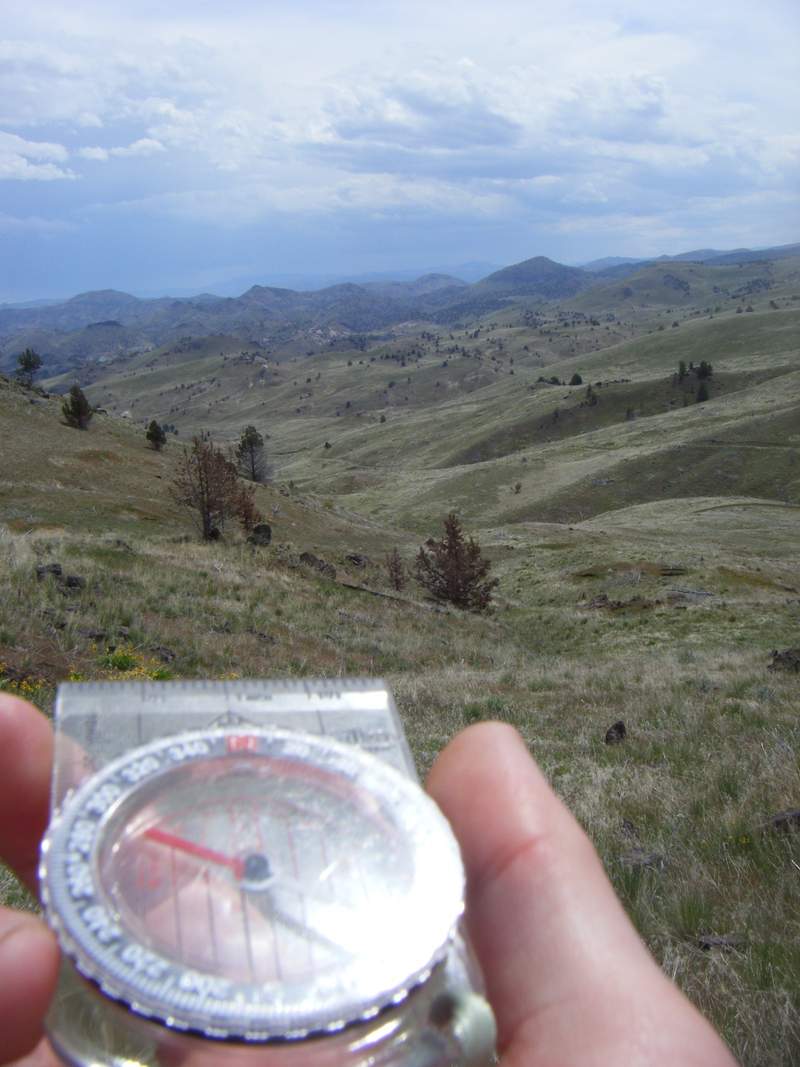
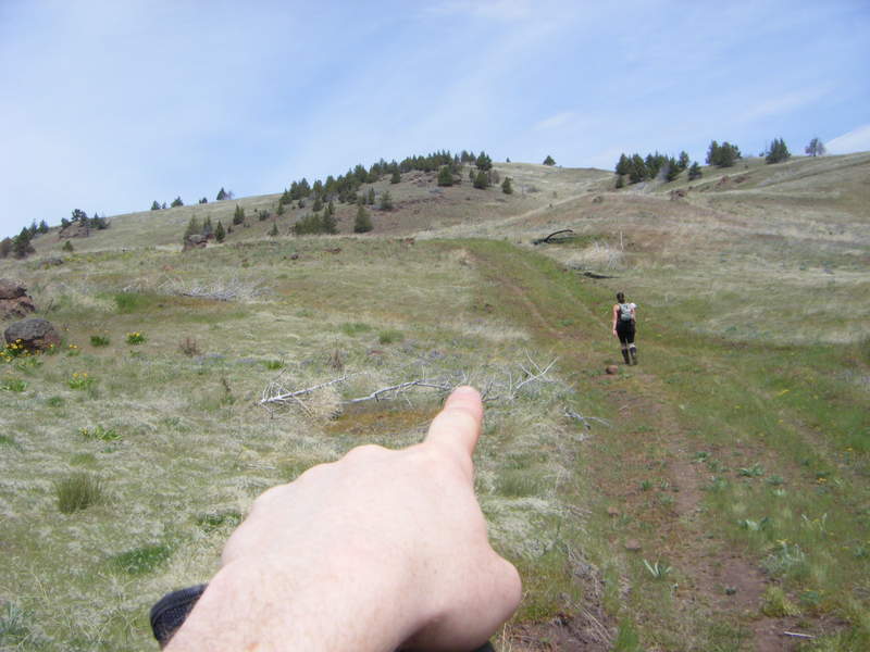
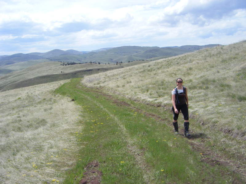
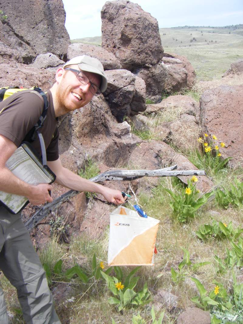
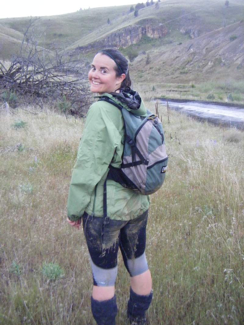
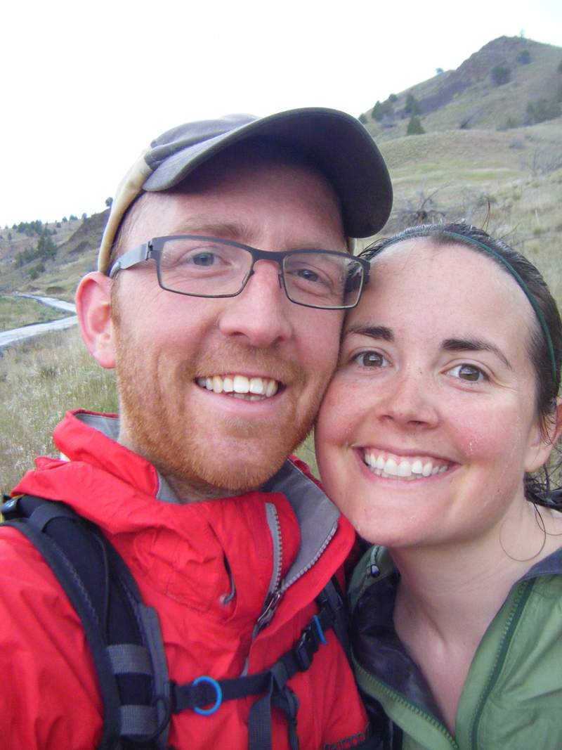
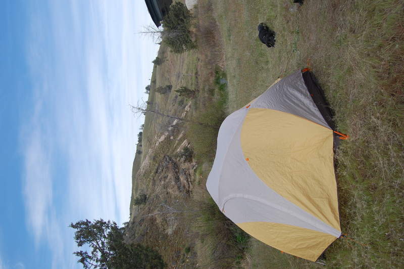
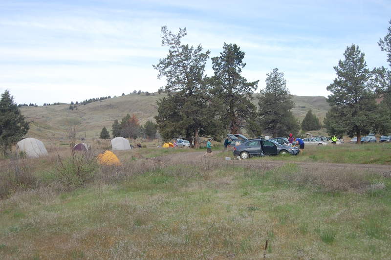
Big Muddy Ranch 6/Hr Rogaine
12 miles of hiking • 3750' elevation gain • 1 night
First Orienteering Race - 6 Hr Rogaine with CROC. Wein lost his compass :)
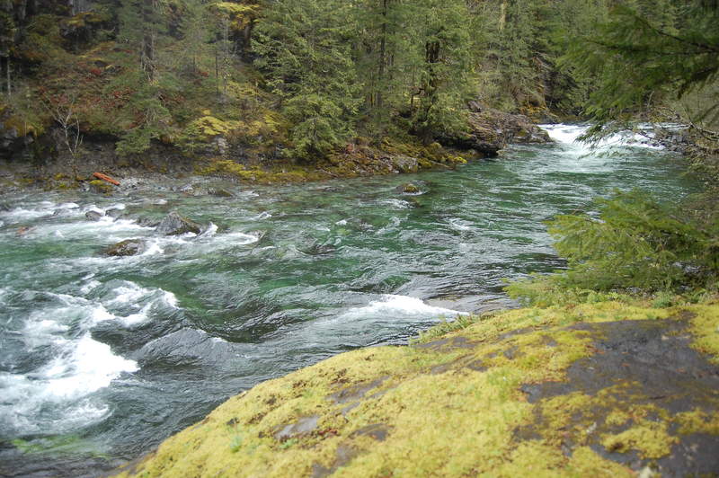
May 13 – May 14, 2011


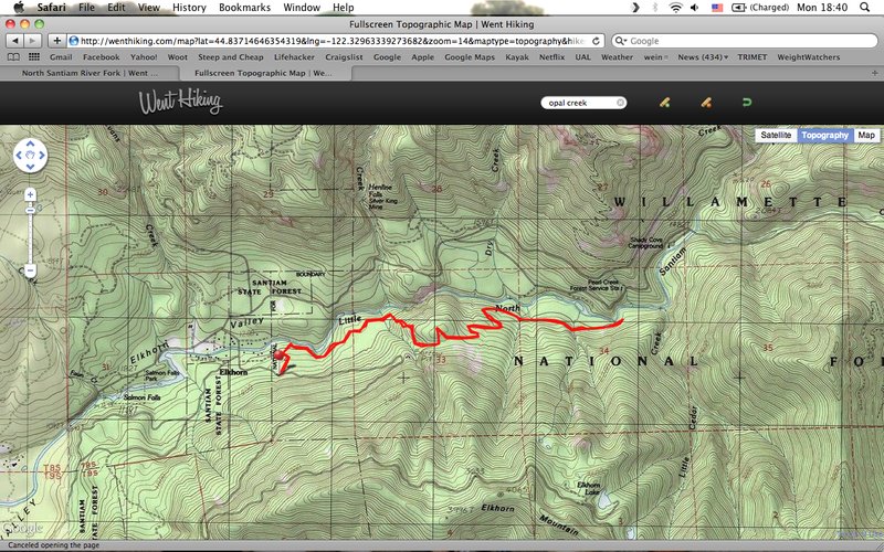
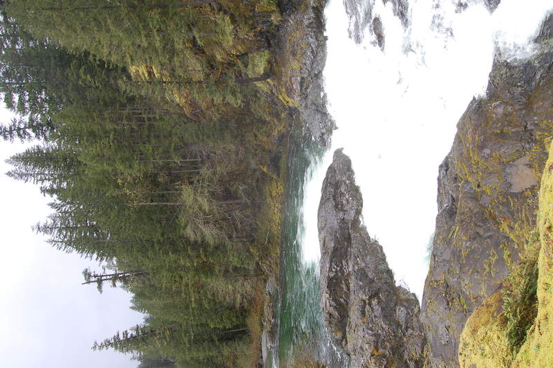
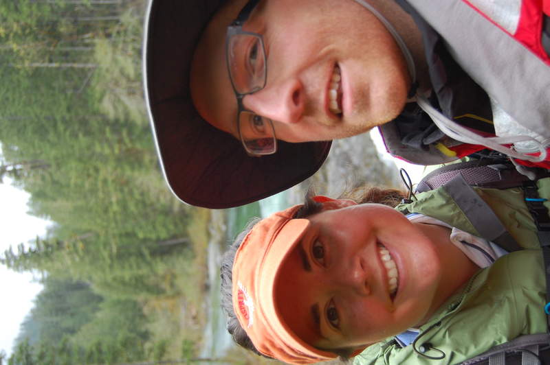
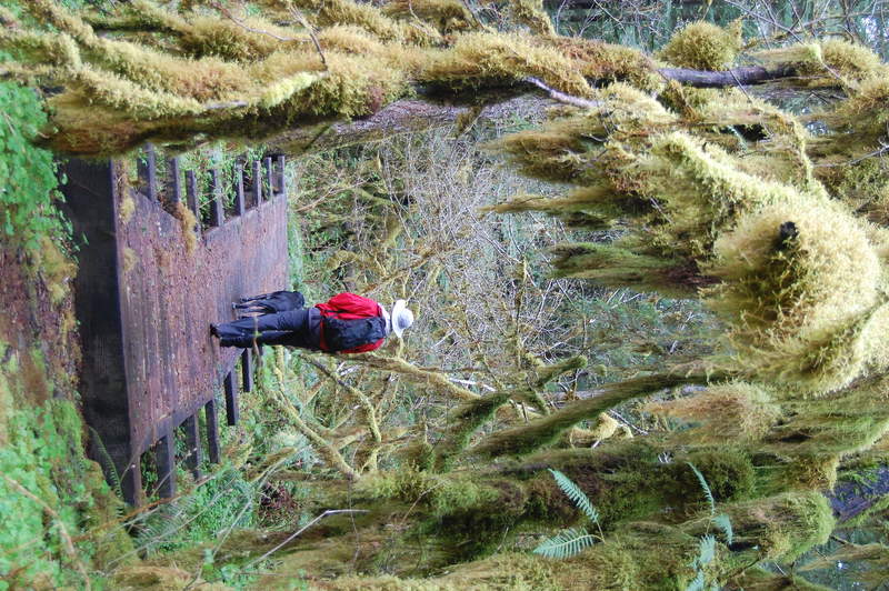
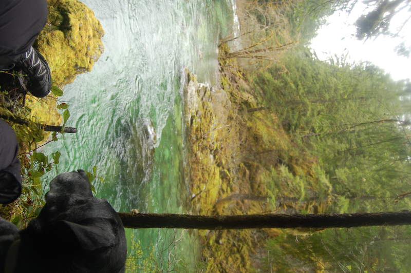
North Santiam River Fork / Opal Creek
6 miles of hiking • 2000' elevation gain •
went for a quick little walk in the woods. It was POURING rain on our way down through Salem, but by the time we got to the trailhead..the rain let up quite a bit. Only saw one other couple on the trail. Nice to get out and see some beautiful blue/green/clear water!
May 7, 2011

Ramona Falls
6 miles of hiking • 1000' elevation gain •
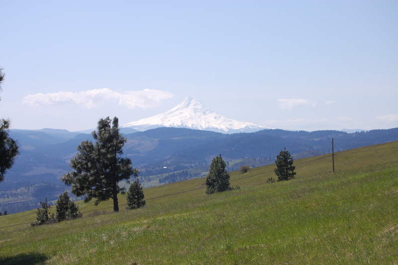
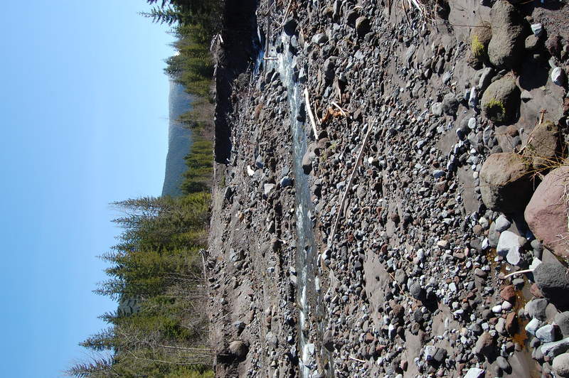
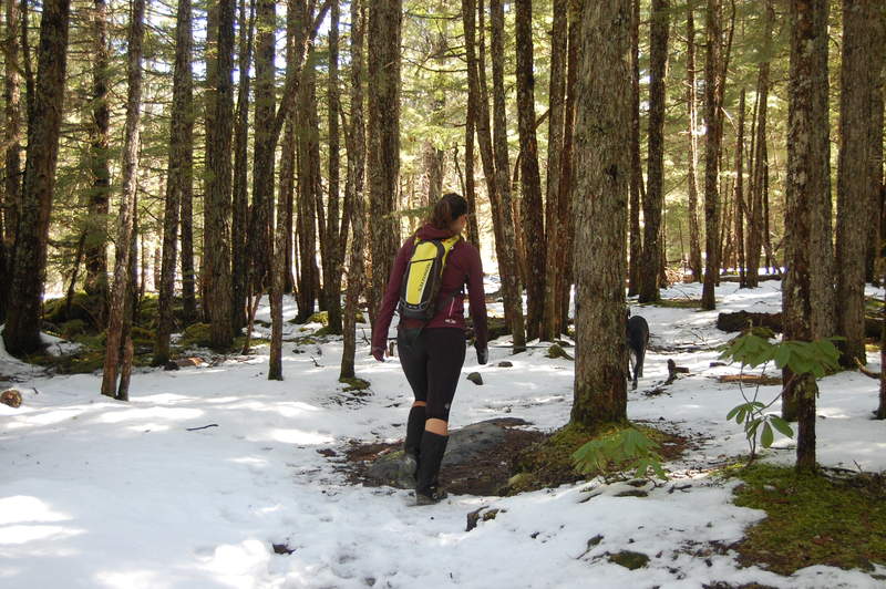
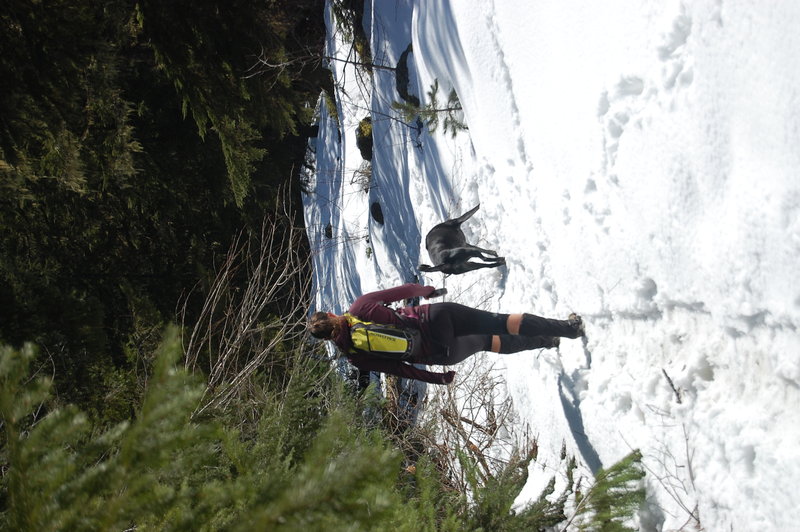
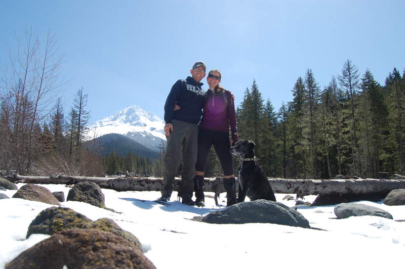
Tried to make it to Ramona Falls - had to cross the river after all the high floods and had to break trail through the knee-deep snow (sans snowshoes). Had to turn back about .25 from the falls :( End of the trail and we didn't realize how close we were. Beautiful weather and Wrangell loved every minute of it! Great spot to stop and picnic in the middle of the Sandy River with gorgeous views of Hood.
April 30, 2011

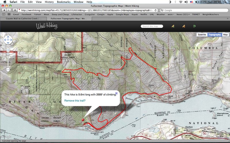
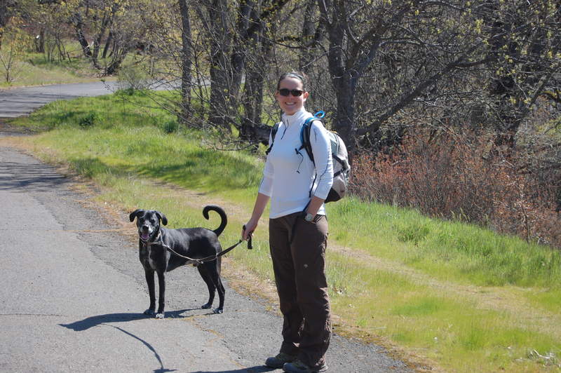
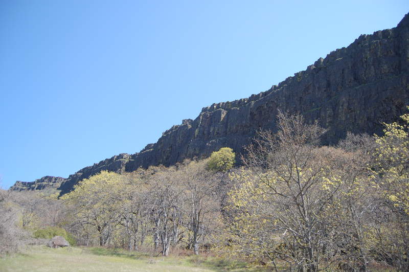
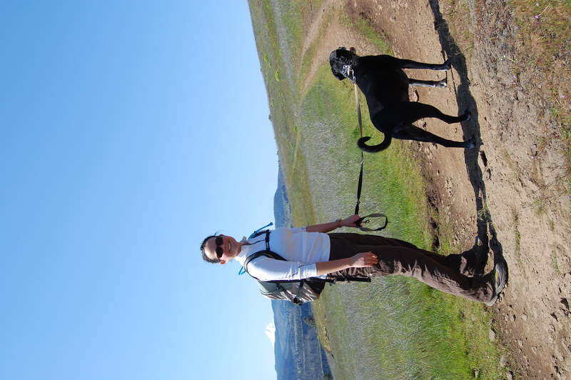
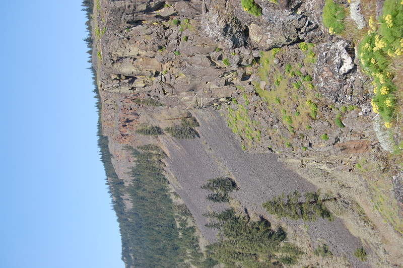
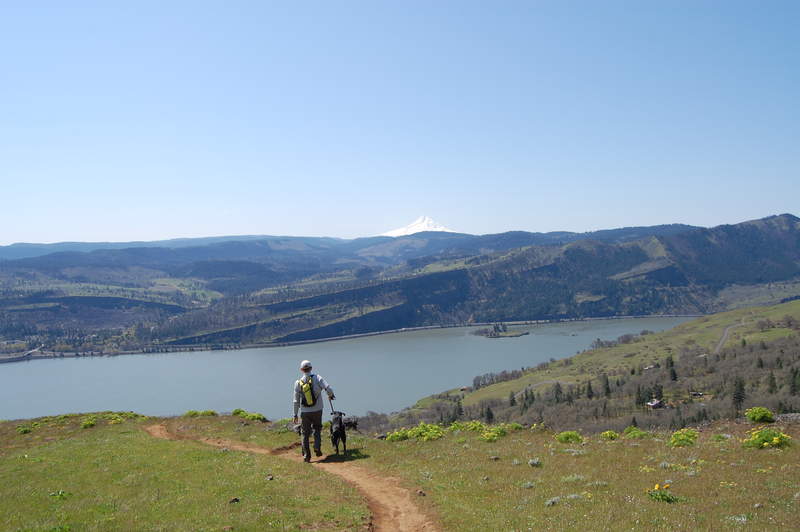
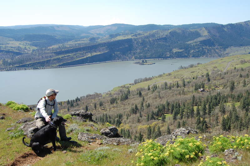
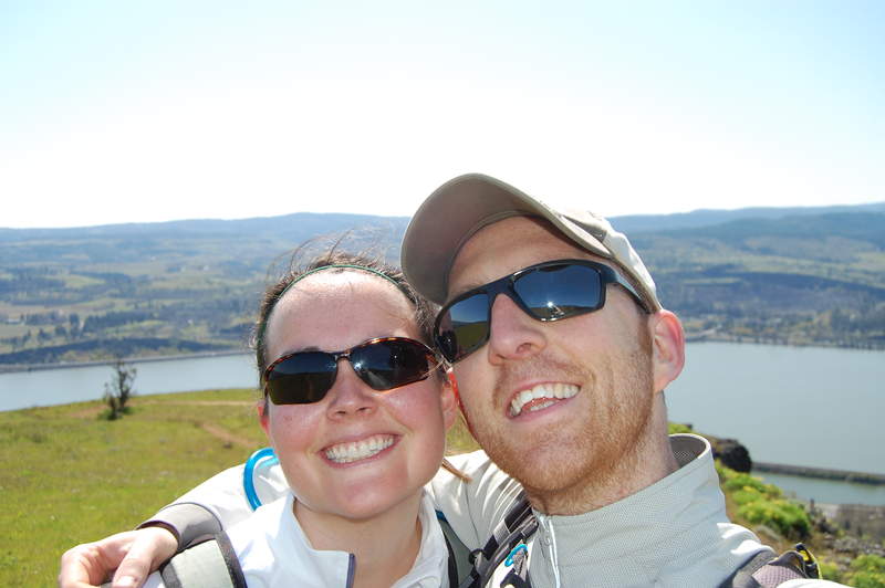
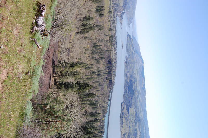
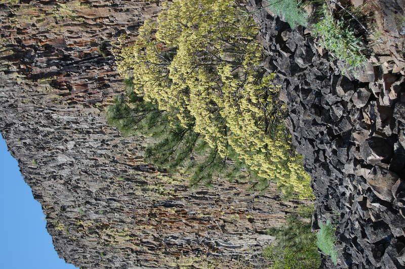
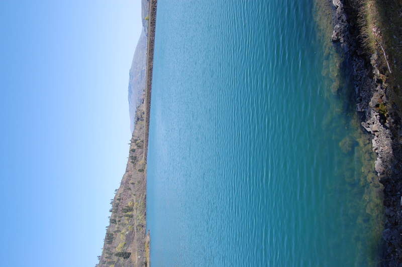
Coyote Wall to Catherine Creek
10 miles of hiking • 2750' elevation gain •
beautiful day for a hike out to Coyote Wall and Catherine Creek. Lots of views of Hood and the Columbia!
April 22, 2011