14.5 miles of hiking • 3500' elevation gain •
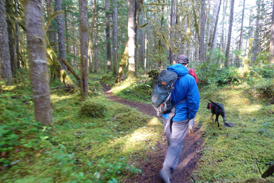
Met up with local hiking guide author, Matt Reeder (Off The Beaten Trail, PDX Hiking 365, Majestic Mount Jefferson) and his friend Mike, at Joe's Donuts in Sandy on Sunday for an exploratory hike of Horseshoe Ridge/Cast Lake Loop near Mount Hood. He was wanting to do the loop for research on his next guide, so I asked if my boyfriend, dog, and I could tag along. He thought the loop would be around 12 miles and 3500 gain.
I forgot to initially set my gps track until around a mile/mile and a 1/2 in, so my data isn't quite accurate. Matt's gps logged 14.5 miles, and 3700 gain. I tracked 13.1 miles and 3,323 ft with my iphone and gaia.
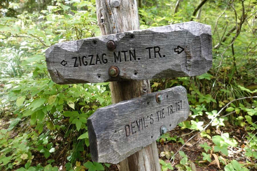
The trailhead is slightly hard to find unless you know where to look, park on the forest road 382, just before the Riley campground and you will find it. Alternatively, you could park in the campground and go the opposite way. The trail starts out flat until you get to the creek crossing at Lost Creek. We all debated on the best crossing - the creek was high, but two logs offered an option of crossing. One log, was very high up and wide, while the other was lower but full of short branches as obstacles. Zane and Matt and dog opted for the logs upright, while Mike slid across on his butt. Meanwhile I, alone in wearing gaiters, opted to cross the creek by foot. The water ended up just going over my gaiters in one spot, so I got a little wet, but not soaked. My choice was slightly made by 2 facts, I didn't feel comfortable crossing that high walking across a log, and I had a brand new pair of merino wool tights just purchased on. In hindsight, I would have worn my trekking tights and scooted across the log, but my choice felt much safer for me. Another option would be grabbing some water shoes and making a crossing without hiking boots. It wasn't particularly swift, just high.
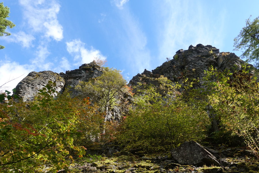
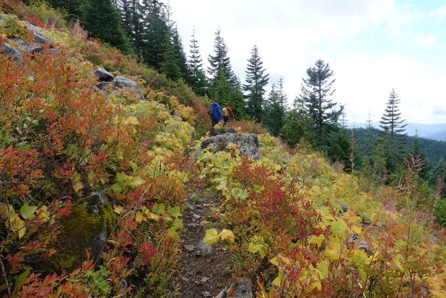
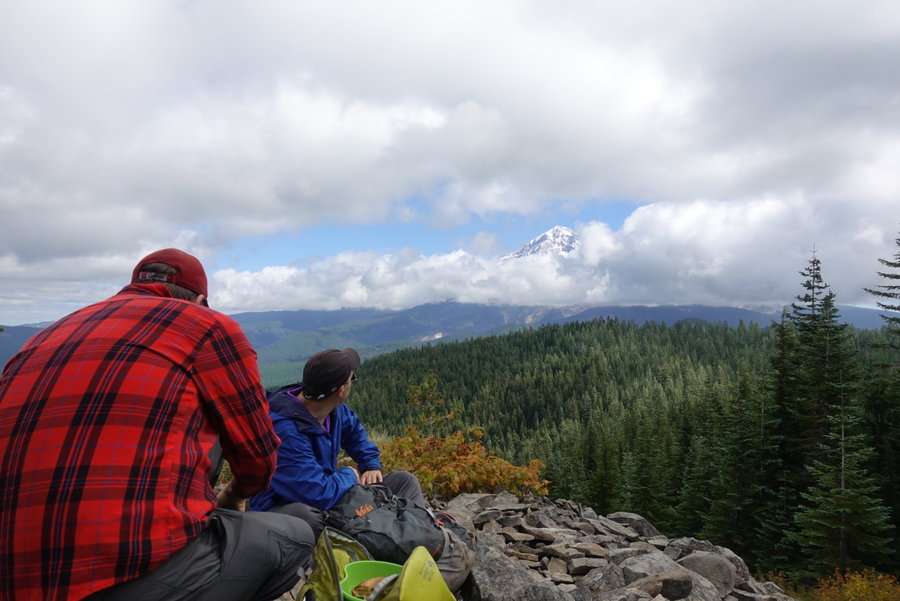
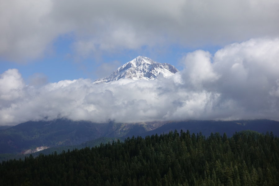
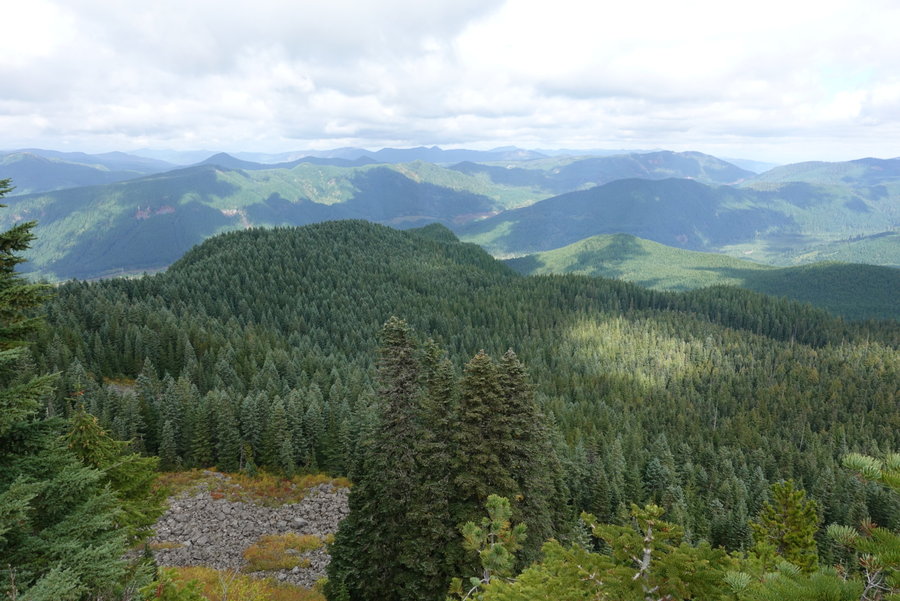
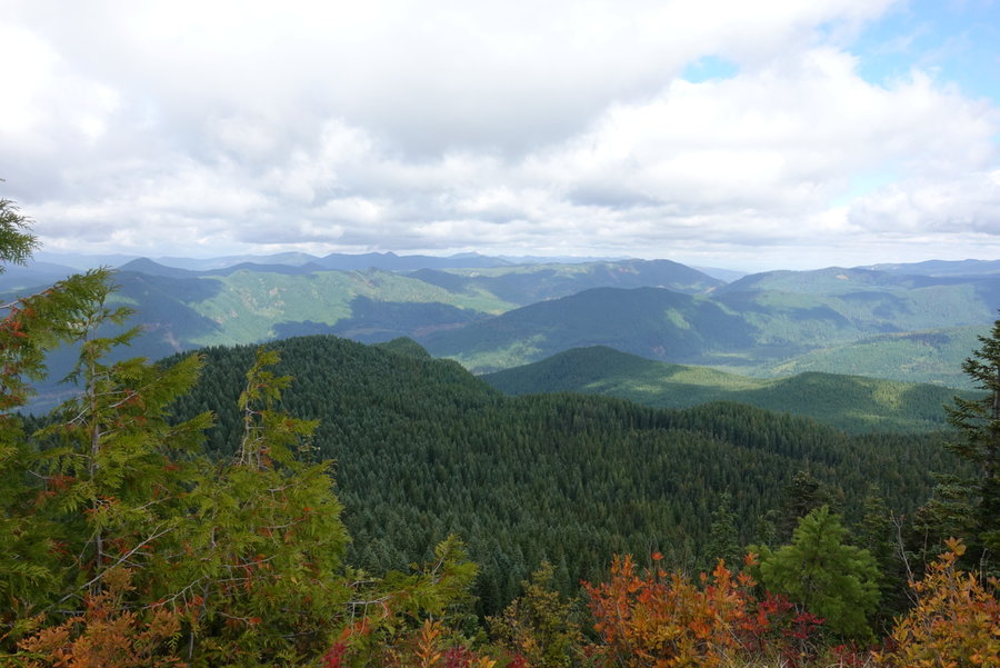
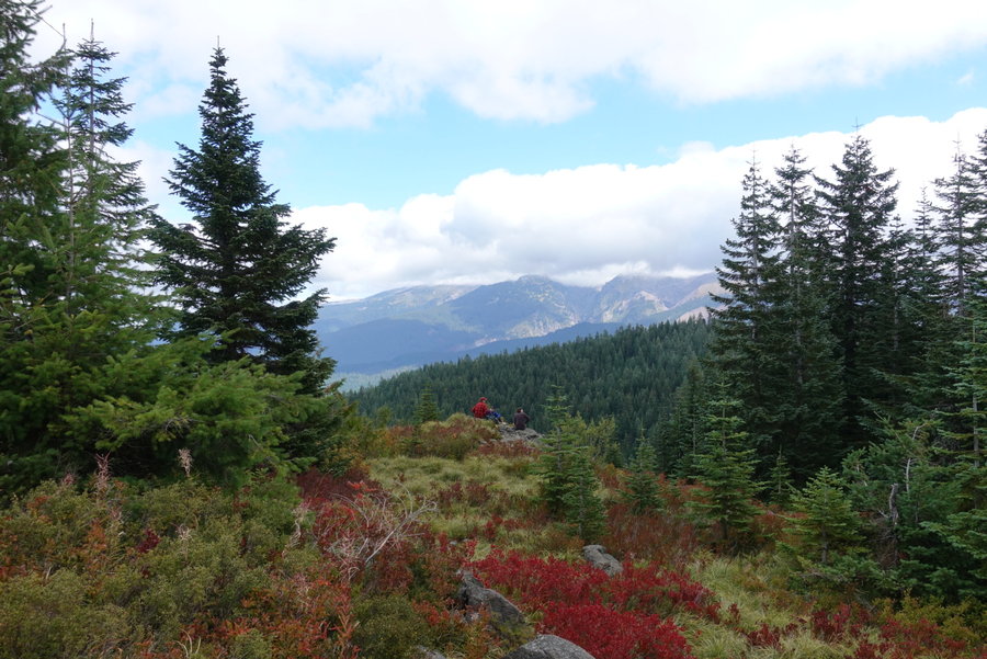
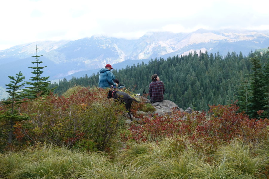
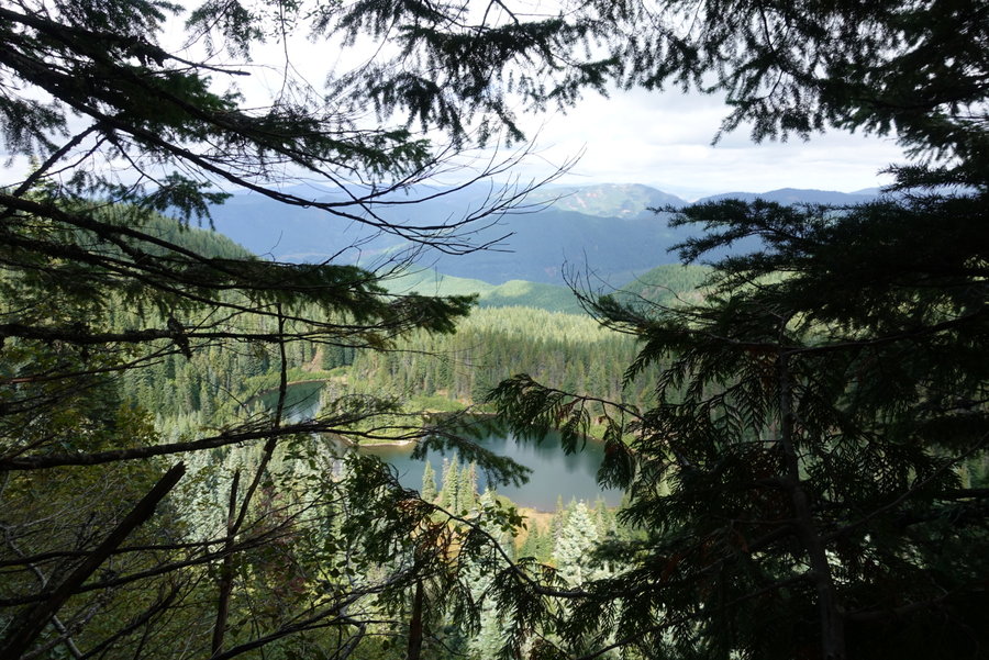
After the crossing, the trail starts up in earnest. Gentle compared to some area hikes, but still a good workout. Matt and Mike slightly outpaced me, but I stayed right behind, and we took minimal breaks until we reached the ridge. Lunch was had atop the ridge, as the clouds stubbornly hid nearby peaks. All of a sudden, (and I screamed out in glee) the mountain made itself come into view as the clouds cleared. Just as quickly, they came back. The sun was in and out, we were were cold then warm then cold again. As the guys sat, I explored a bit on the rocks to see if I had any views in any other direction. We had a little bit of fall color. I have a feeling this may be a better hike during wildflower season, but the views of Mount Hood have to be incredible on a clear day. Grateful for our small glimpse, we pushed on towards the end of the loop. And on, and on... This loop ended up being atleast 2 miles longer than current hiking guides suggest. We think this might be due to the forest road being closed/overgrown and the loop taking a different route than it previously may have. Also, when we felt we should have been going down, the trail takes you back up in two different spots. Not terrible, but with the length we were over on up and ready to be done and down.
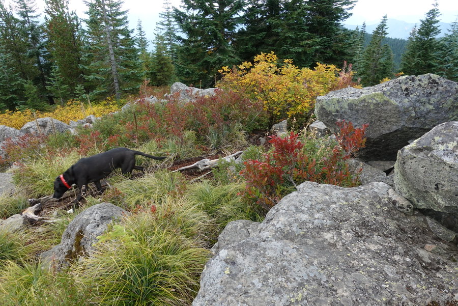
Overall, we hardly ran into anyone on the trail, maybe a total of 7 hikers total during our descent. Lily got to have an entire hike off leash, which made for a very tired dog after our long mileage. I'm still pretty sore today, and my commute by bike home today against the wind uphill was not very fun. Glad to know I can get the mileage in after the nasty cold I just got over, as I have an upcoming Mazama climb/scramble in 11 days.