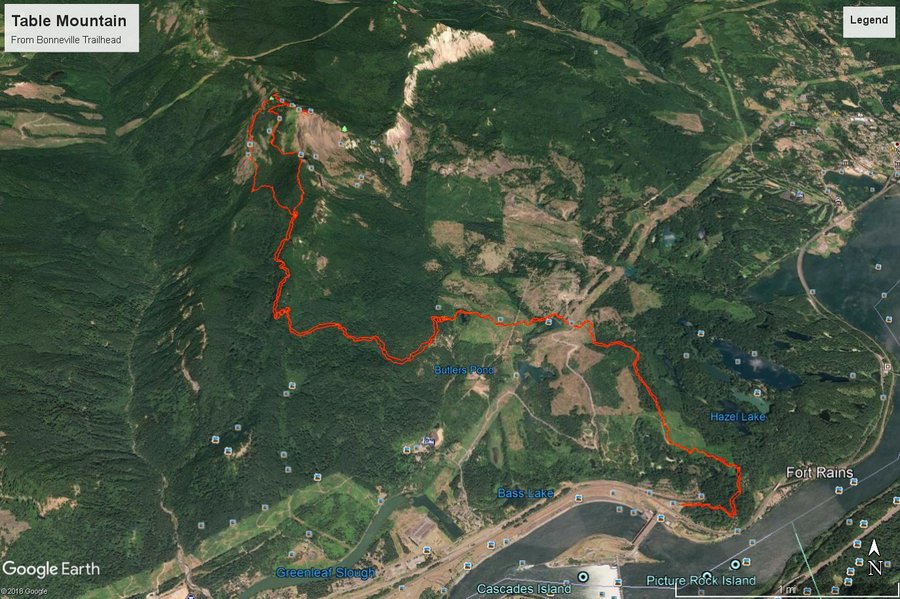
17 miles of hiking • 4250' elevation gain •
This was probably one of the most grueling hikes I have done in recent memory. The closure of the trailhead at the Hot Springs resort makes this a very long trek indeed. Being my first time up to Table, I wasn't sure what to expect.
Weather prediction from the night before called for showers all day, so we all dressed for what we thought would be a cooler experience. On the way out, I checked the weather and saw the forecast had changed to sunny and 70 degrees. Suddenly, I worried whether I had enough water for such a long trek under the sun with my dog, but multiple streams to cool down in on the way helped and gave the pup plenty of water to drink so I didn't actually run out until we were about a 1/2 mile from the trailhead.
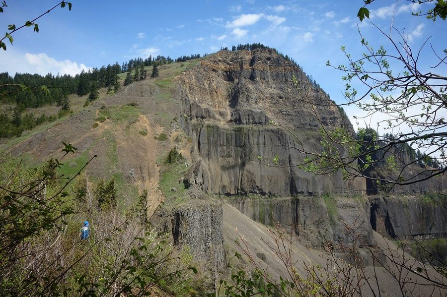
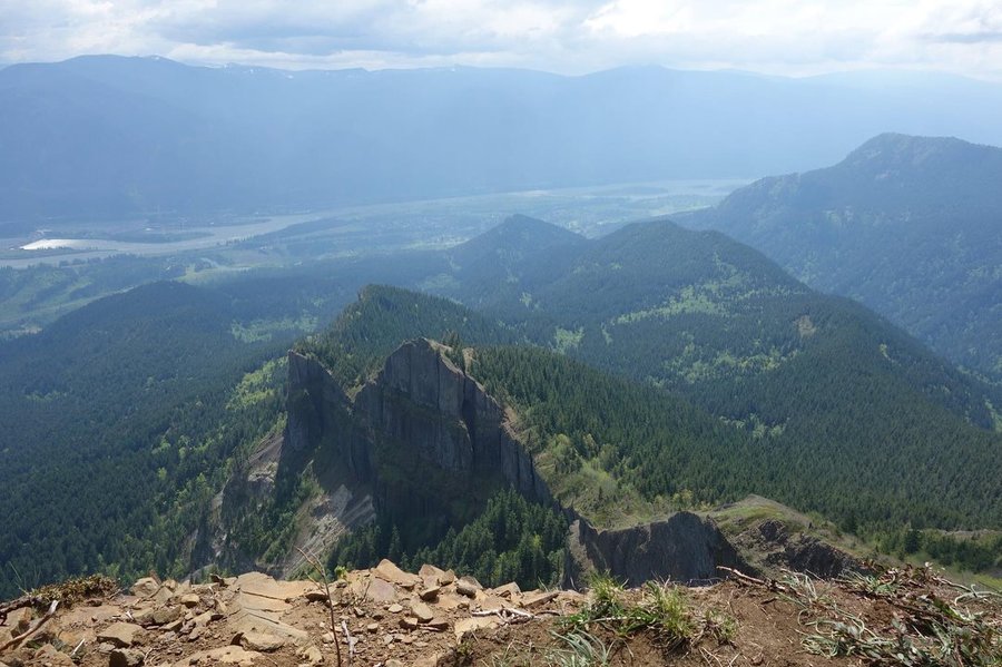
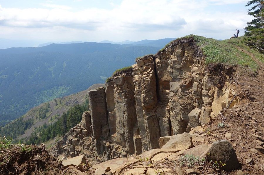
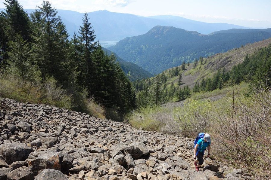
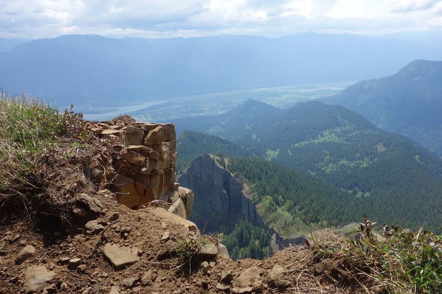
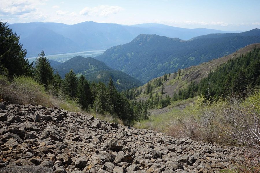
The first part of the trail is pretty uneventful, meandering up and down through clearcut land and over private gravel roads. The way is fairly clear if you pay attention to PCT symbols. Eventually, we reached where the trail really begins, the choice between Difficult and More Difficult. We chose the steeper ascent of Heartbreak Ridge, which is very appropriately named. I cursed my way up, giving the stink eye to every heartbreak symbol I saw on the way up. Then came the grand view of where we were headed - the top of the cliffs of Table Mountain. A few switchbacks later and we were to the boulder field. This part I actually found kind of fun, scrambling up on all fours and encouraging my pup to follow. After that, it was a short ascent to the summit, where I was greeted to our first contact with other hikers all day. We saw another Mazamas group, this one an official hike, and I ran into another fellow hiker I had an outing with on Meetup. (Small world.) We watched as one weary hiker walked to the very edge of the cliffs where just a bit of grass was hanging on, and warned him to step back and that nothing was below him. Stay away from the edge folks. I did crawl on my belly to get a bit of a glimpse over the edge, but very warily. A fall here has and would be fatal.
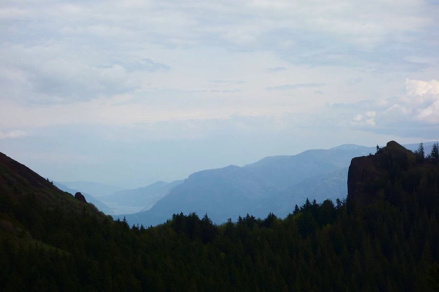
Then came the descent, we looped around the top to get a view from the other side, and followed cairns to the very slippery/rocky trail down. This side had a little bit of a display of wildflowers, but by this time the sky all around us and the surrounding hills became a very brooding dark blue. We thought we might get a bit of rain, but it held off and we enjoyed the little bit of relief from the heat.
After the hard down, it was time for the long but easy way back to Bonneville. We hiked hard without breaks for what seemed like a long time, finally resting at a large bridge. I made the mistake of looking how far we had to go - 4 more miles!!! With feet feeling like we might be developing blisters, we continued on, trying to ignore the pain.
The last bit seemed to take forever, but after a final gps check, we saw we were within a half mile of the end. Beer and pulled pork was calling in Cascade Locks at Thunder Island. A beer rarely tastes as good as when you sip it along the Columbia, the mountain conquered looming in the distance. I'll never look at Table the same way again. Very satisfying to have made this trip, and I can't wait to see what the rest of this summer brings as I embark on my vacation to Utah later this week.
This hike is not recommended for anyone who isn't a very hardy hiker - the distance makes this quite the miserable experience if you aren't used to the mileage.
Pictures on my gps track below.