12.5 miles of hiking • 3250' elevation gain •
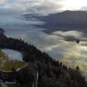
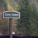
Both inspired by Roman's recent report, as well as the relatively clear roads, we decided to hit up Hardy Ridge. Pulled out at Cape Horn on the way east, and were treated to another wonderful view from there! Rather than driving up to the Equestrian TH, with it's accumulation of snow, we just parked down on SR-14 beside the big rock (the gate was closed) and walked the 1/2-mile up to the customary starting point instead.
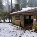
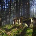
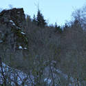
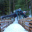
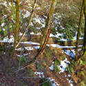
A tree has fallen into the 1930s-era CCC-constructed picnic shelter, but not done any obvious damage. Iciest portions of trail are along the lower stretch, getting up to the power lines. Just past there, we veered west to check out the abandoned cabin and continue bushwhacking over to the Hardy Ridge trail. It was pretty magical through there, if also extremely wet!
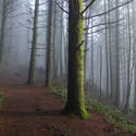
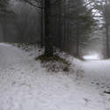
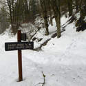
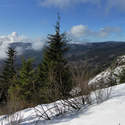
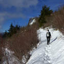
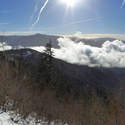
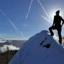
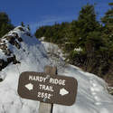
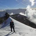
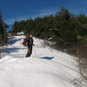
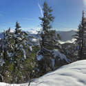
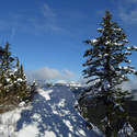
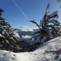
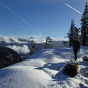
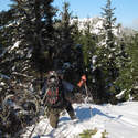
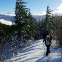
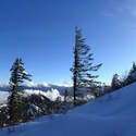
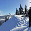
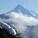
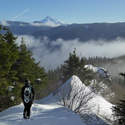
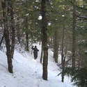
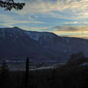
Getting up Hardy wasn't much of an effort, at least to the upper junction. From there, we lost any semblance of a boot trail, and just post-holed along. Snowshoes weren't of much use, due to all the droopy vine maple sagging over the "trail." It sure was beautiful, though, especially the firs flocked with mass quantities of snow. Clouds were washing over Hamilton below, and Hood was out in all its glory.
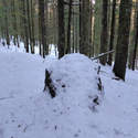
We turned around before hitting Phlox Point, thinking we still had time to go tag Hamilton. But the descent just took way too long, what with the deeper snow on the eastern side of Hardy. Boot rock is no longer on its stump! Hopefully, it's just buried in the snow somewhere nearby?
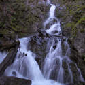
We just coasted back down along Hardy Creek, enjoying the last rays of sun as they lingered. Another great day in BRSP!


