

18 miles of hiking • 4000' elevation gain •
Soaked up alpine goodness on the western flanks of Mount Adams until well after the sun had set. Such a marvelous day, spent with a great friend.
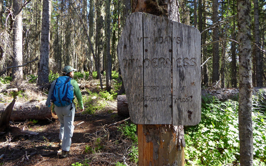
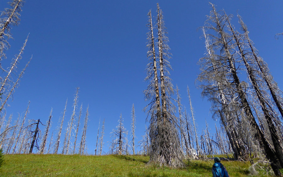
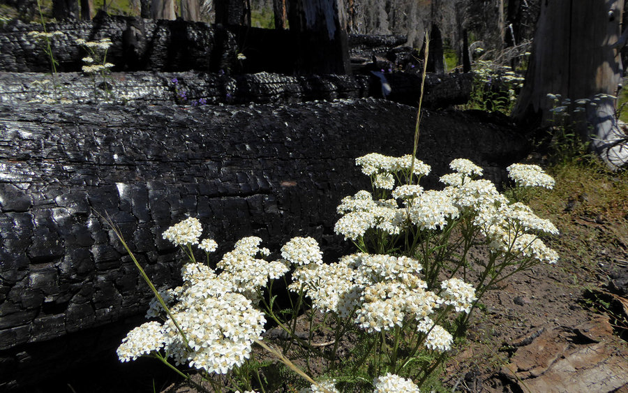
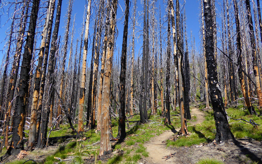
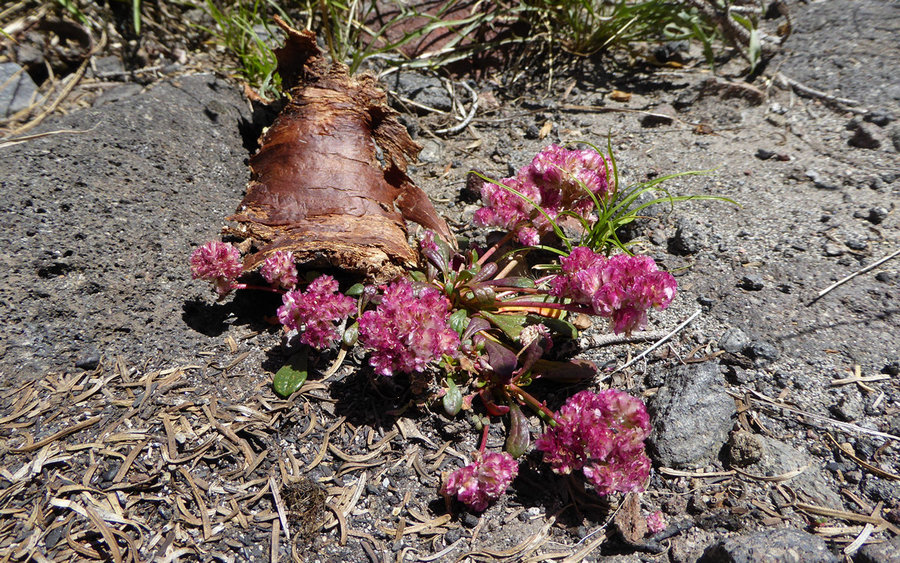
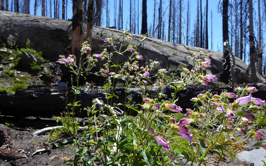
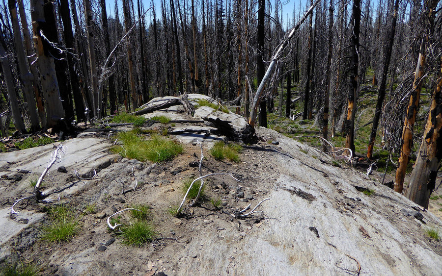
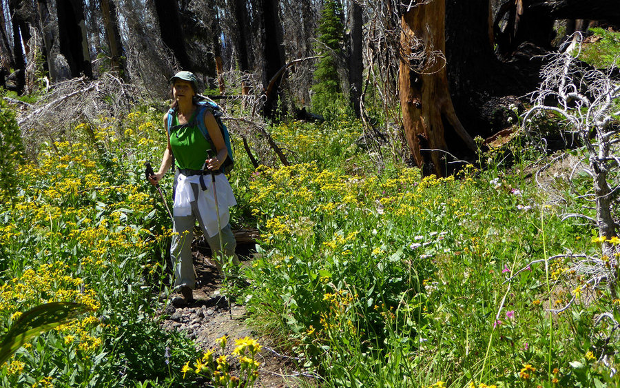
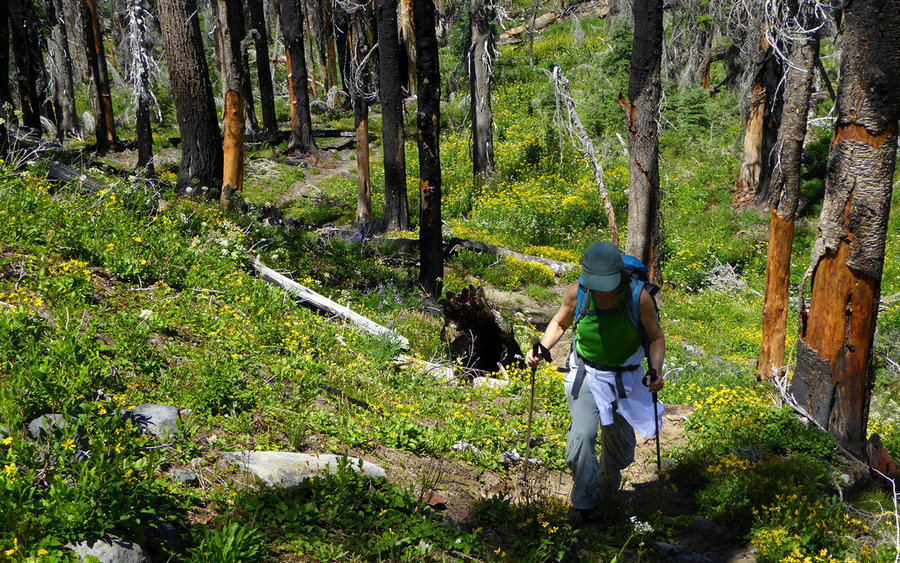
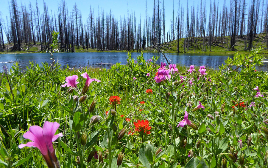
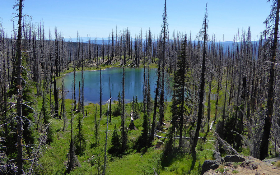
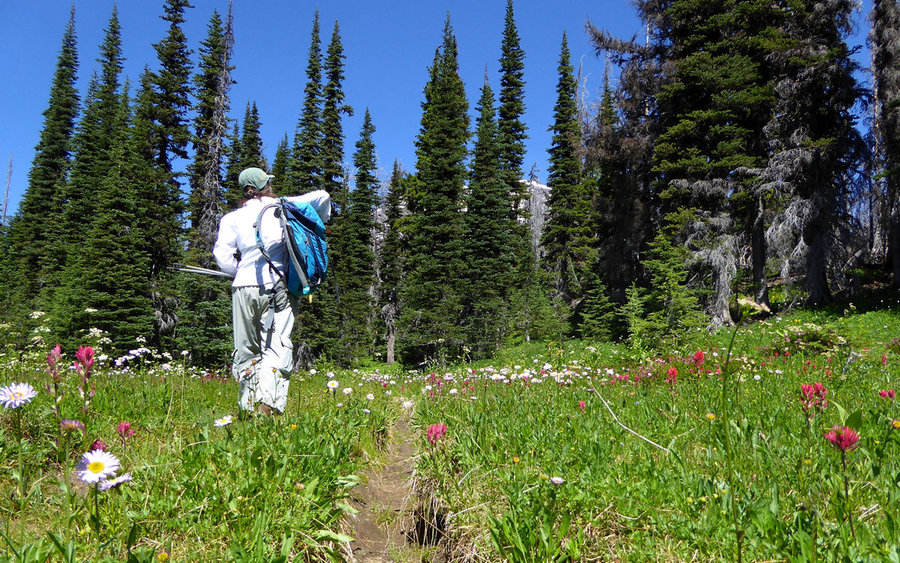
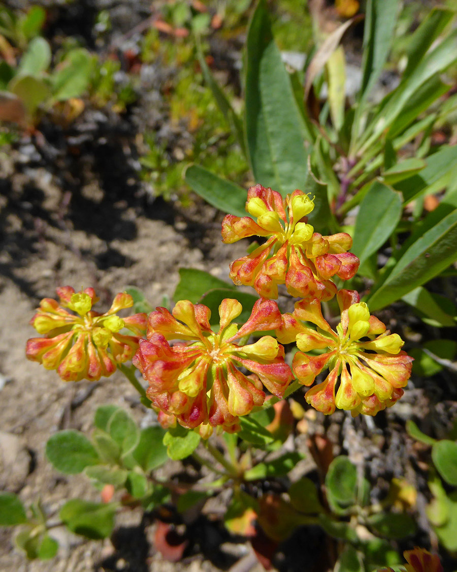
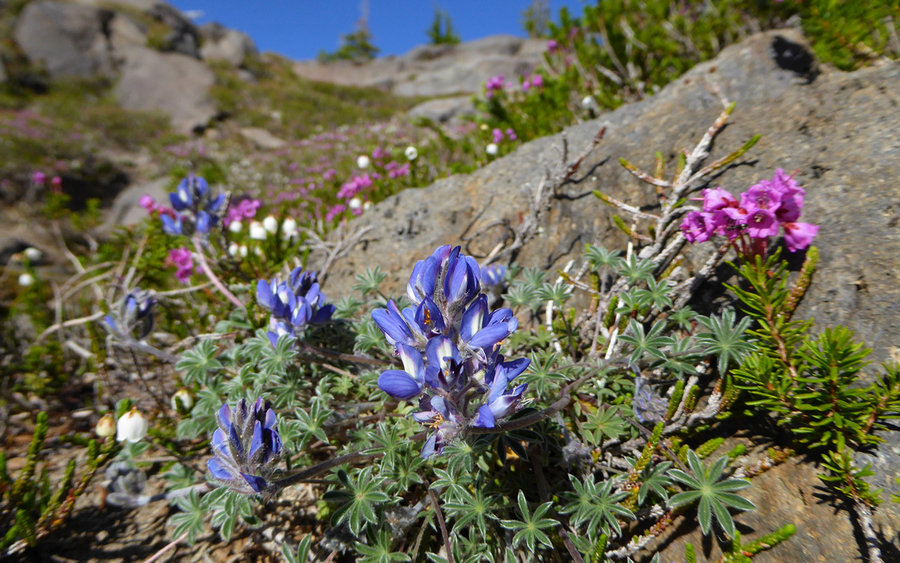
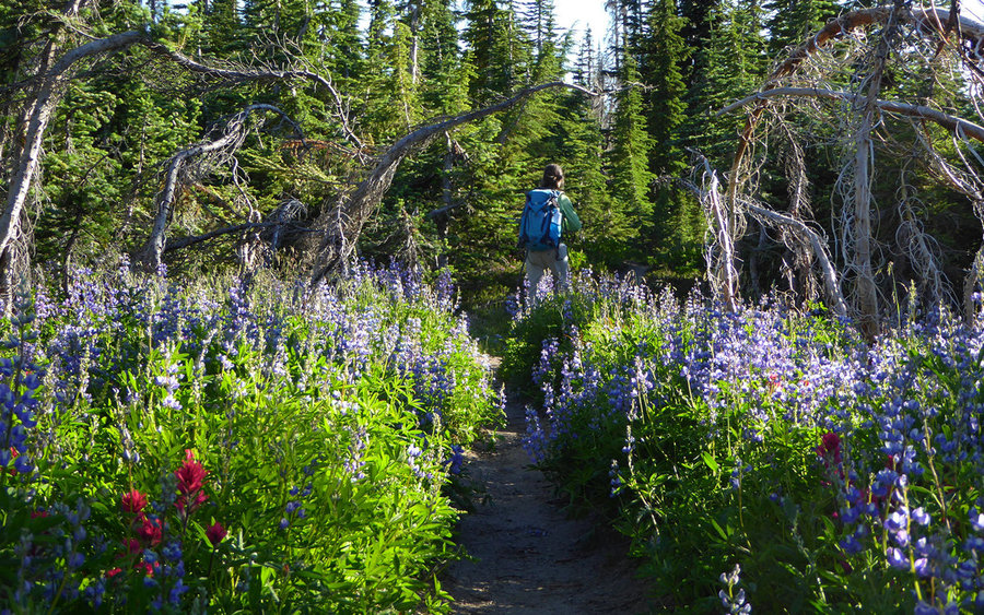
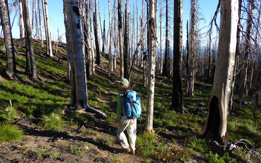
The road to the Stagman Ridge trailhead is probably in better shape than any other in the Adams area. We arrived there less than a half-hour after passing through Trout Lake. After securing our Wilderness Permit, we were off to the high country. Stagman Ridge was burnt up pretty well during the 2012 "Cascade Creek" fire. But the grasses and flowers are coming back strong, and there was a good show the entire way up the gently graded trail.
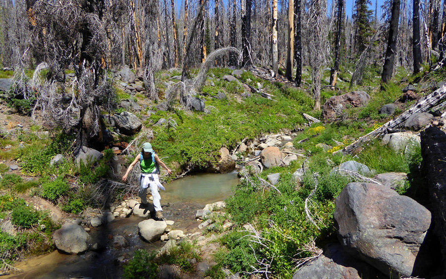
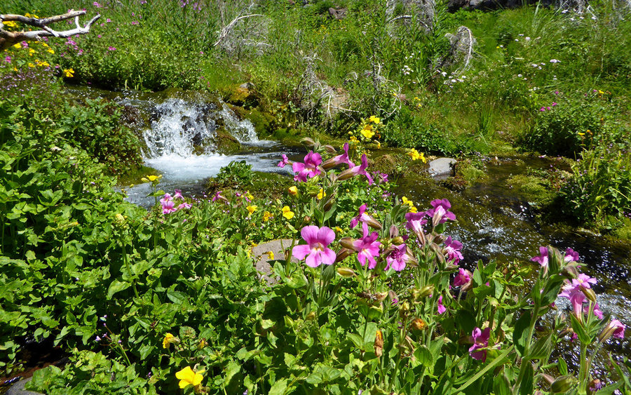
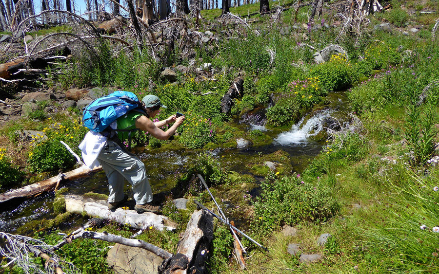
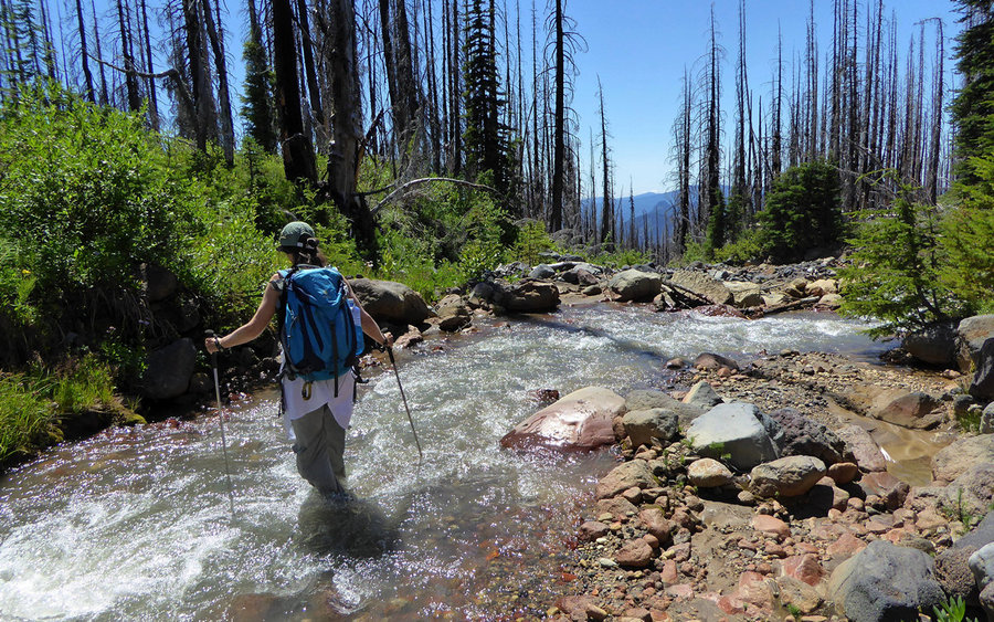
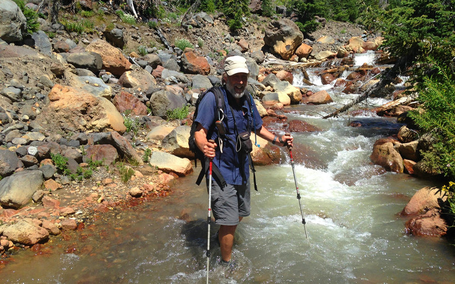
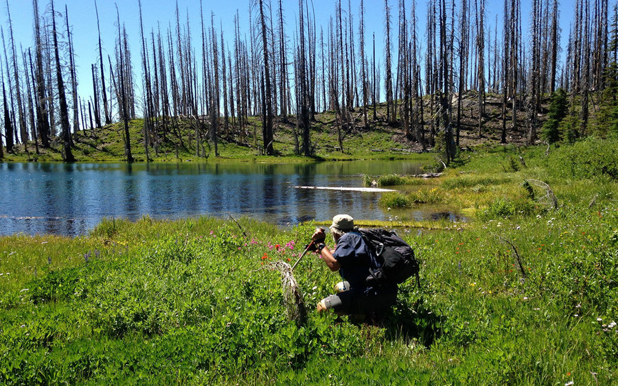
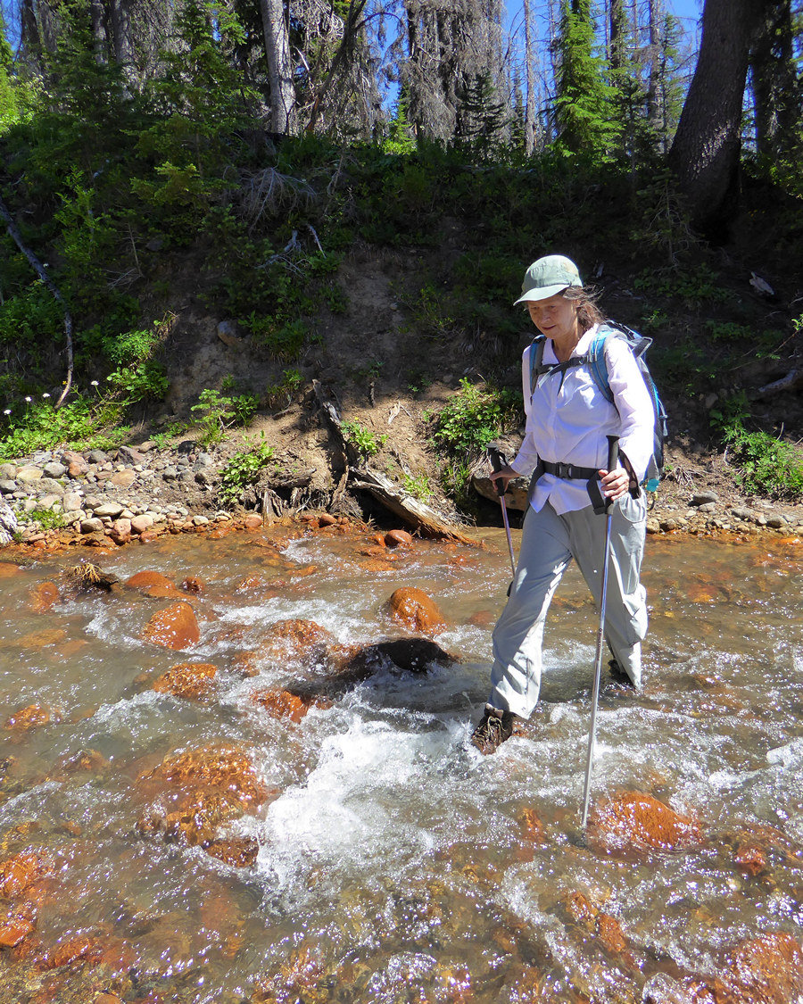
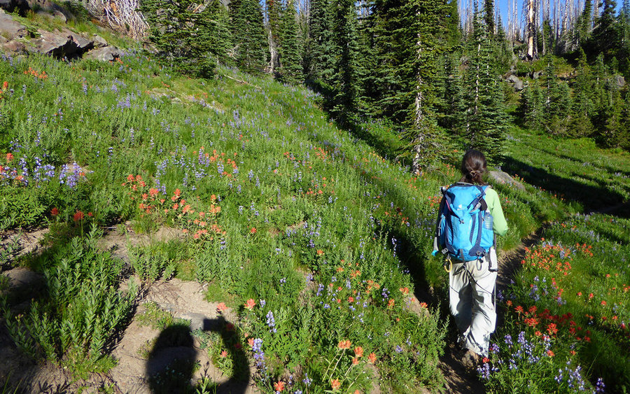
We turned east on a user trail, just a bit below where Graveyard Camp is/was. It may be nothing but a spot on the maps, now? Traveled about a mile through wonderful flower displays, and past several creeks, before hitting Cascade Creek which was ripping pretty well. After contemplating a couple semi-sketchy options, we decided to just ford it. Good decision! Turned out, getting our feet wet here meant we could just motor through some other pretty wet spots without even thinking about it ahead.
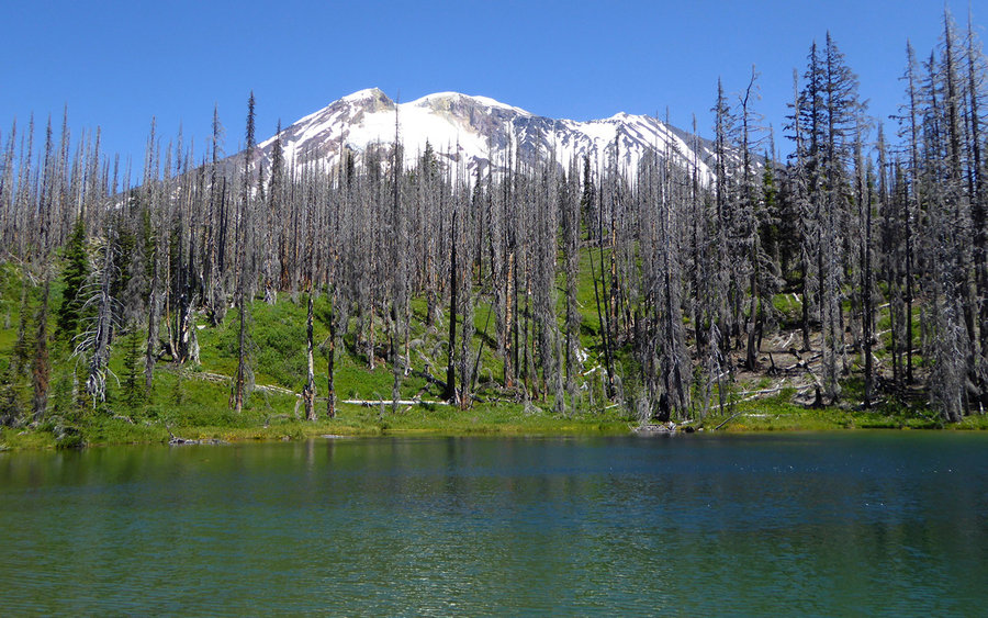
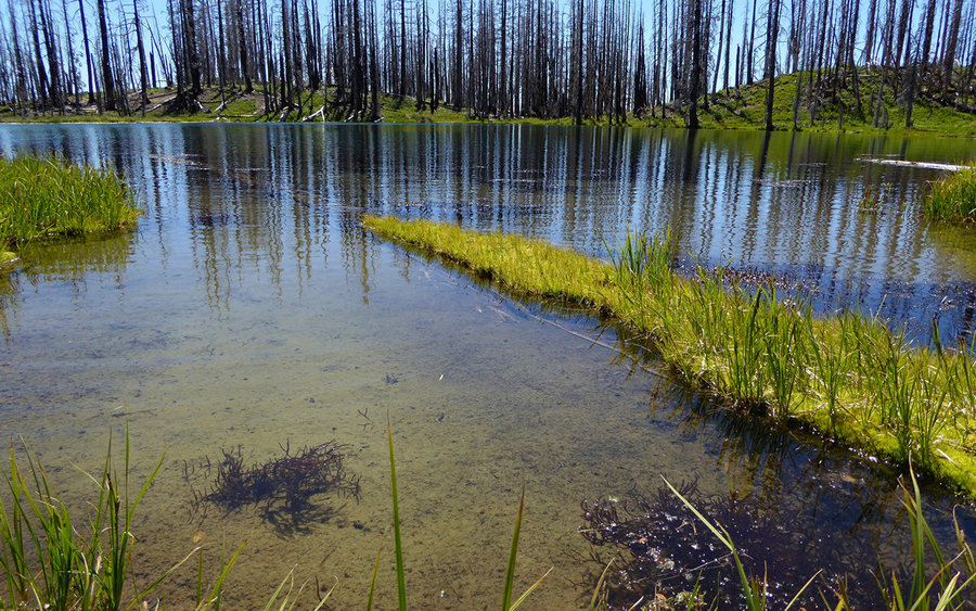
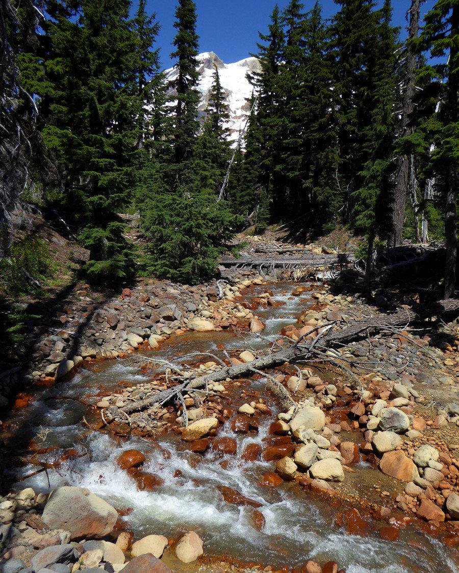
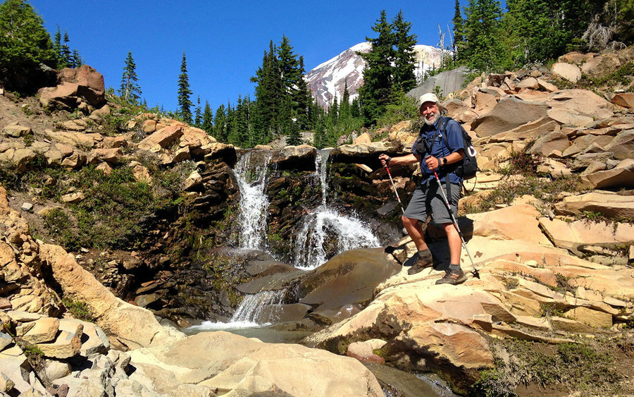
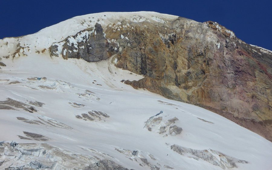
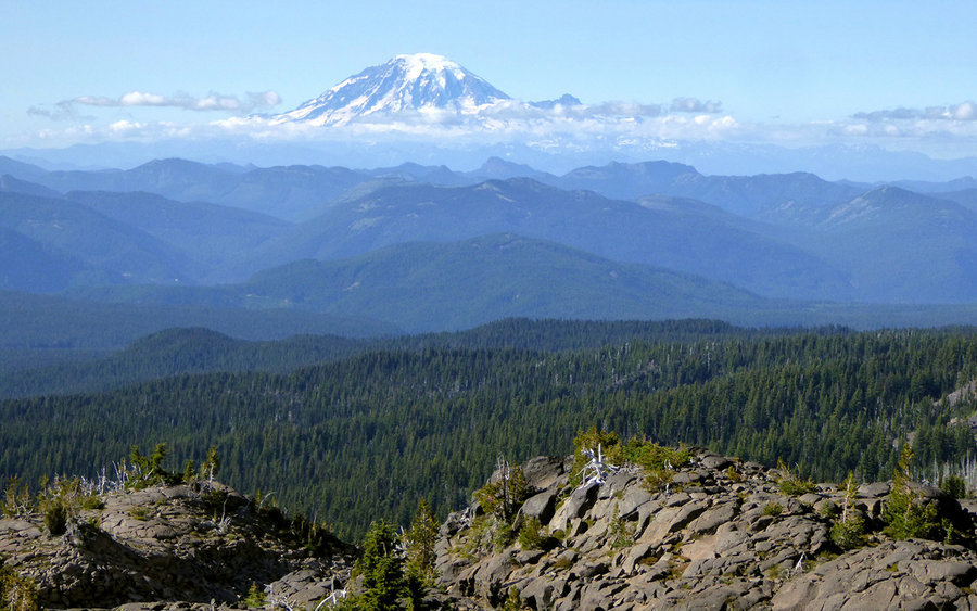
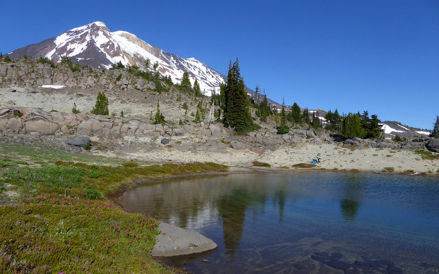
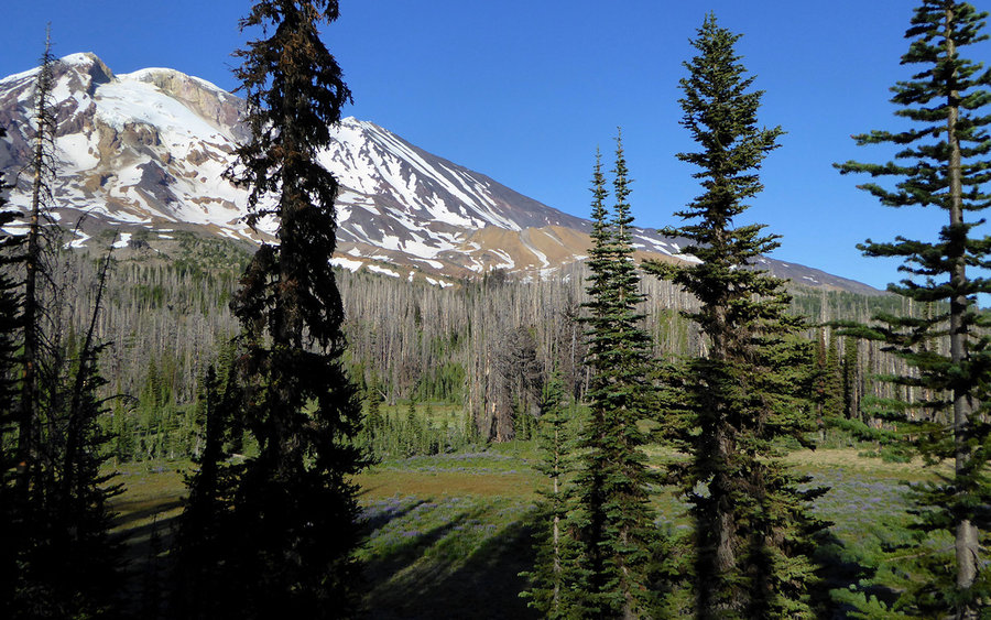
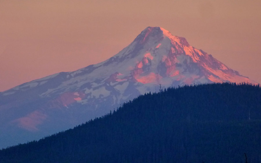
Shortly after that crossing, we arrived at Lookingglass Lake. Oh my, what a beautiful sight to see, in the middle of a destroyed forest. We didn't even have to ask one another -- this would be our first lunch spot. Pulled up to a nice spot on the far side of the lake, looking across at Mount Adams and a lovely waterfall serving as the inlet. There was also a view of Mount Hood from the rock behind the lake, and several campsites scattered around its perimeter.
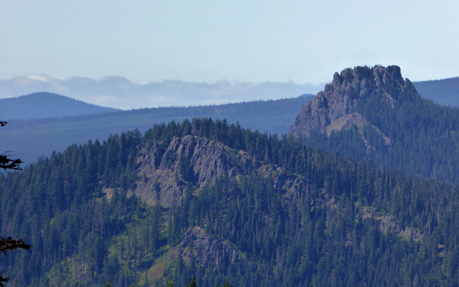
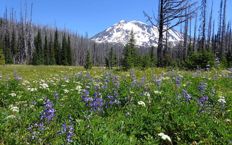
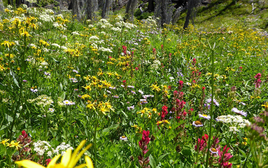
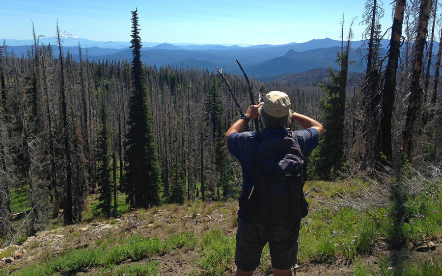
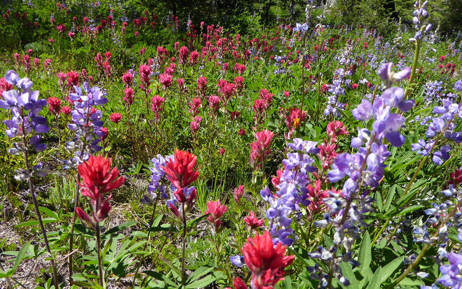
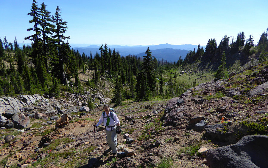
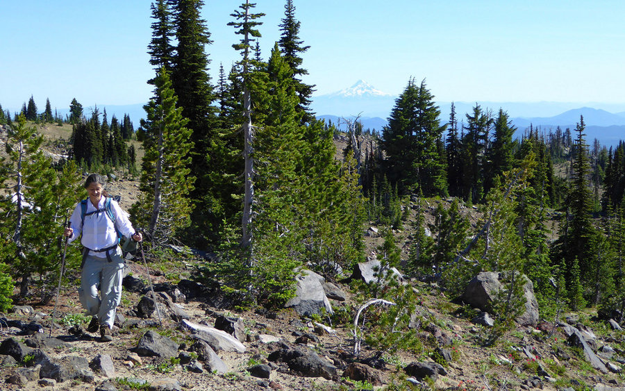
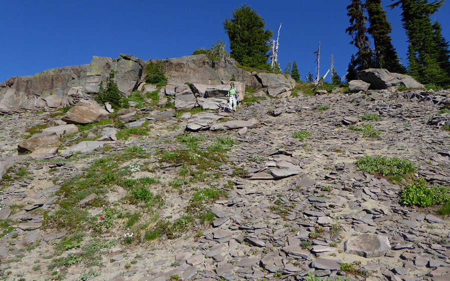
After lunch, we took the 9A up to Round The Mountain trail, which sadly doesn't actually do what the name says, but it's a good thought anyway I guess. Following that for awhile, we wandered through one floral display after another, crossing or fording one creek after another along the way. After rounding a big bend in the trail, which offered a stupendous view of the entire Indian Heaven area and beyond, it was time to go cross-country.
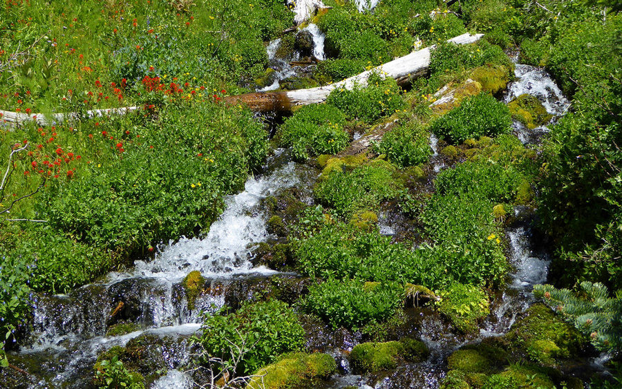
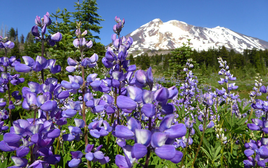
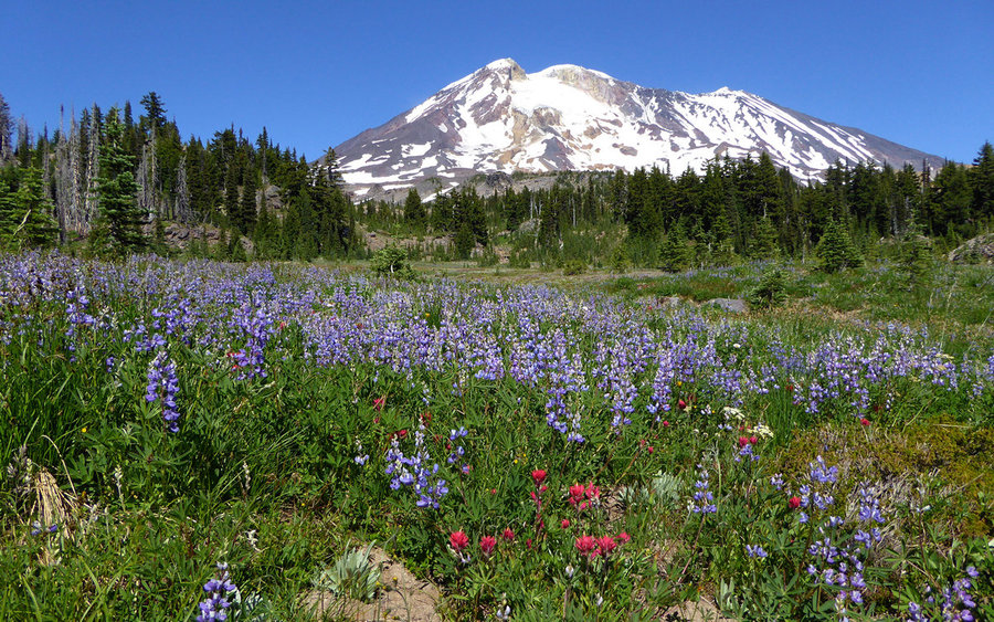
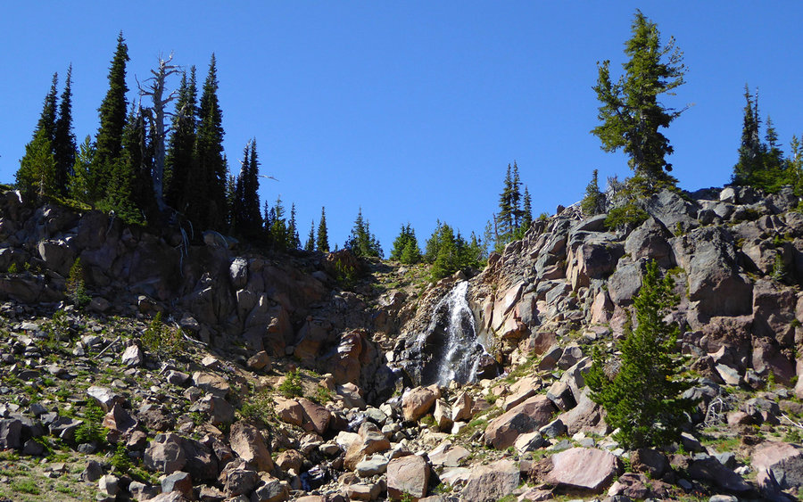
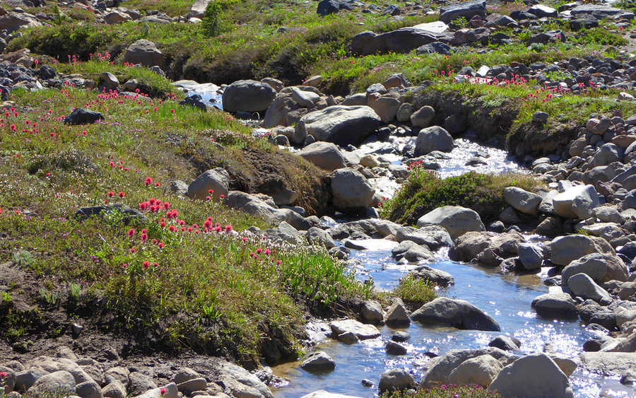
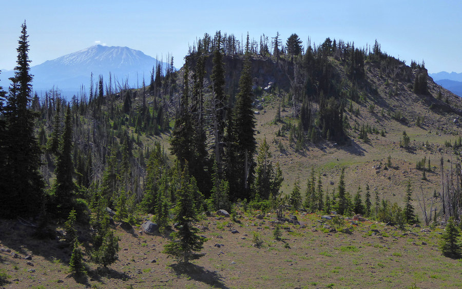
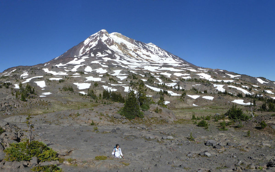
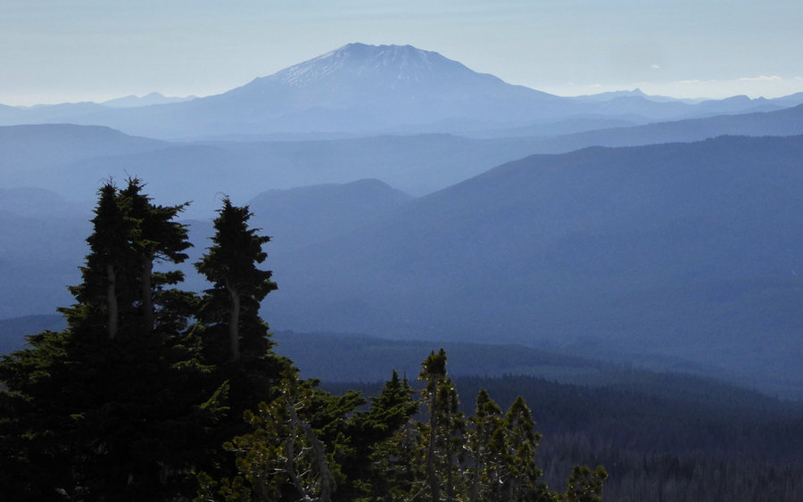
We picked what seemed an interesting way off the trail and uphill. It exceeded our wildest dreams... As we climbed, our environment just got more and more astounding. We crossed through a huge meadow brimming with paintbrush and lupine and fed by a waterfall all its own. About there, we finally got above the burn, and started the real high country traverse. Our goal was to go tag The Bumper and, with luck, The Hump as well. So we set a course in that general direction.
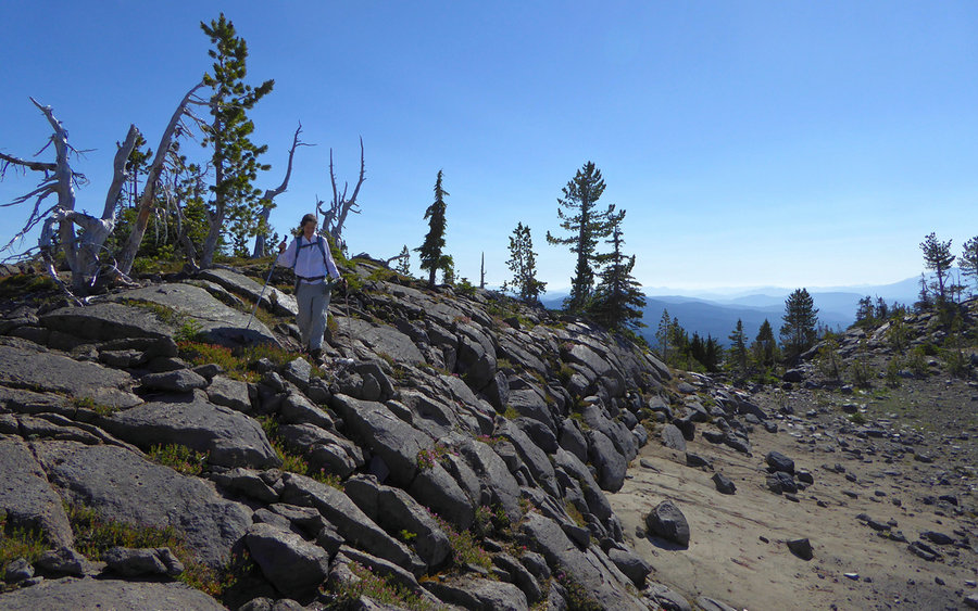
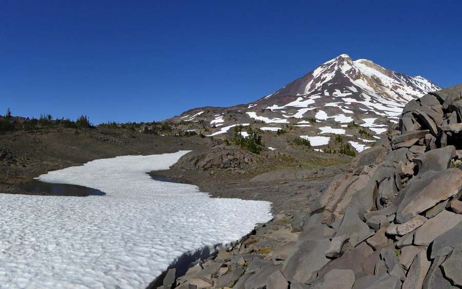
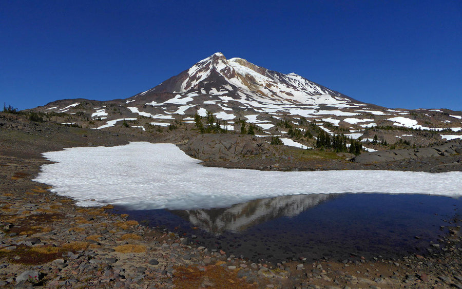
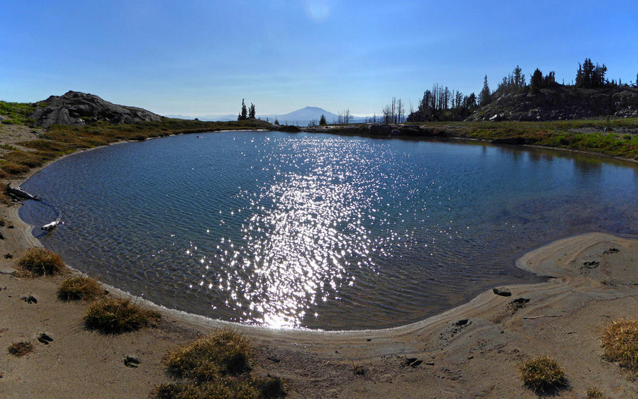
As we approached The Bumper, it was positively underwhelming, so we decided to just continue on above it. The views were only improving with each step. As we hit one high point, took a few photos and looked around a bit, we saw a beautiful little tarn a bit below us and another high point a bit above us. I assumed that to be The Hump, and set off towards it, while Woodswalker chose to go enjoy the tarn for a bit. Perfect!
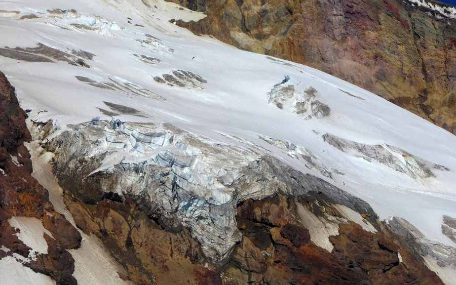
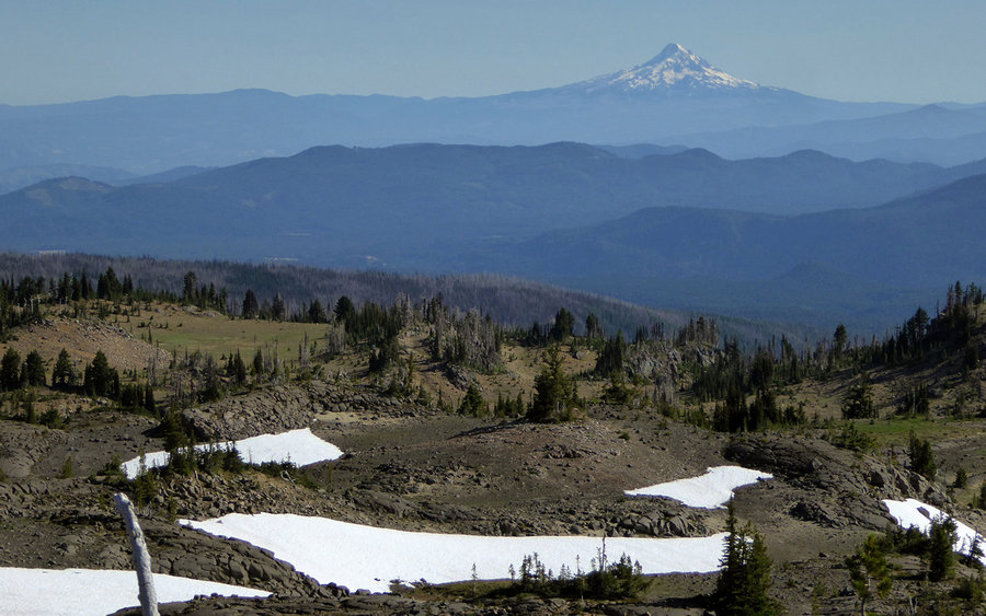
Turns out, I was well above The Hump, but the views were fantastic! Took some more photos, sent a text (4G and 3 bars!) saying how late I'd be home, and headed back down to the tarn. My goodness, this was a thing of beauty! Great spot to empty all the ash from my shoes, and just soak it in.
We were only about 3/4 mile above the PCT, and it was getting late. Time to bomb on down! Which is pretty much what we did. The flower show continued unabated, and we were probably on overload by now. Got back to the trailhead a bit after sundown. Without question, one of those hikes that will long be remembered!


Woodswalker
August 1, 2016
What an outstanding day. I'm still marveling at all we packed in.