

15.5 miles of hiking • 4500' elevation gain •
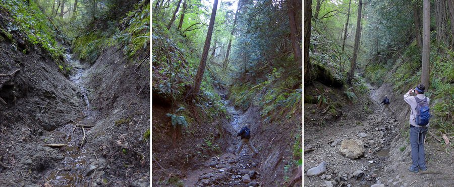
Knocked two off "The List" in a single hike. Been wanting to go up Mitchell Point for a long time, but it never seemed to offer enough to make it stand alone. So, found another hike up to Wygant Point leaves from the same trailhead! Bingo. We did our best to make it as loopy as possible, but our pre-trip investigations indicated the Chetwoot Trail was impassable due to a landslide south of the powerlines. We did investigate the cutoff from the topside, and realized quickly that any landslide on that sort of slope wouldn't be much fun to get around, so the first part of the hike was all in/out.
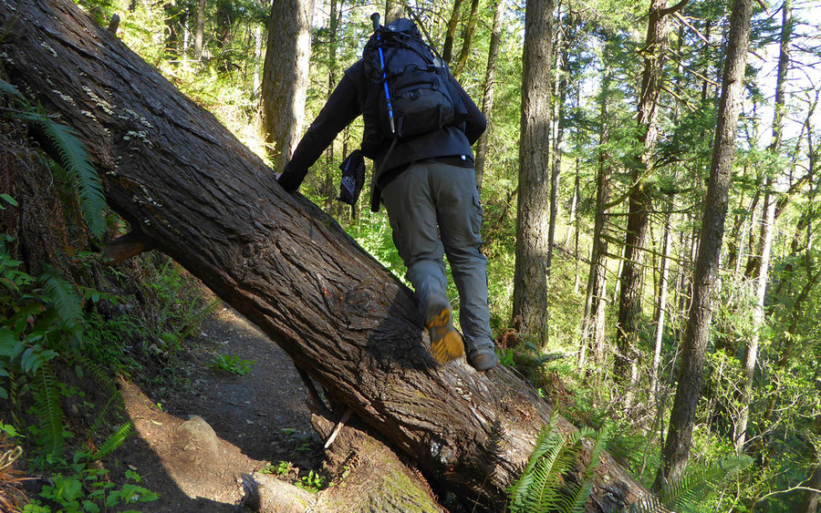
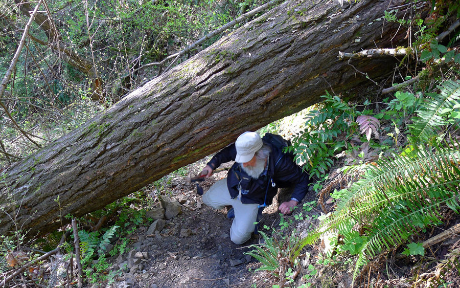
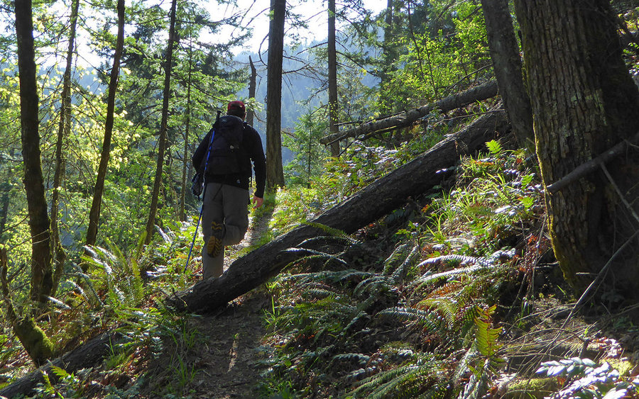
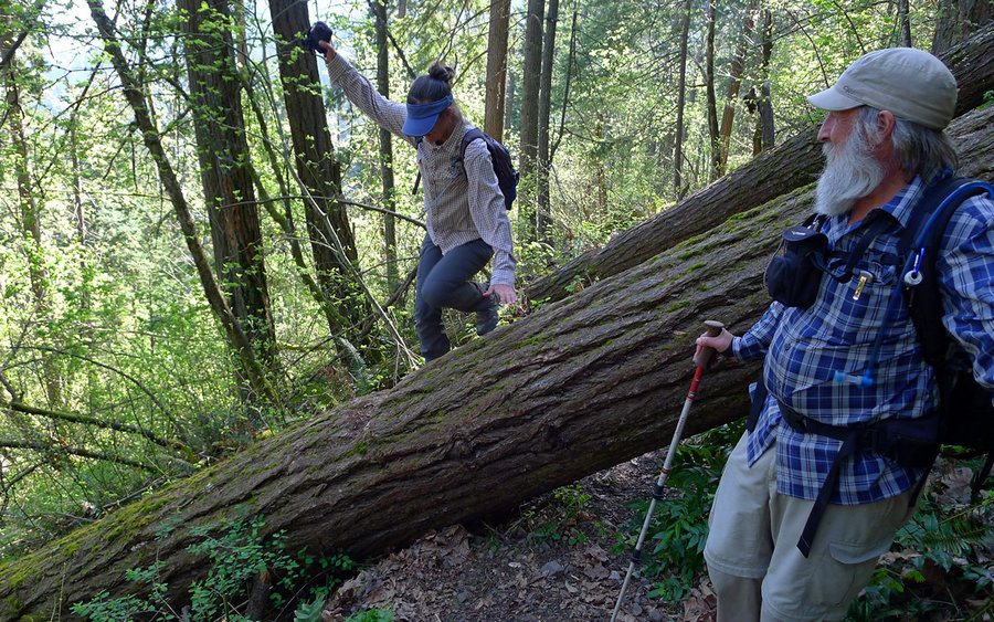
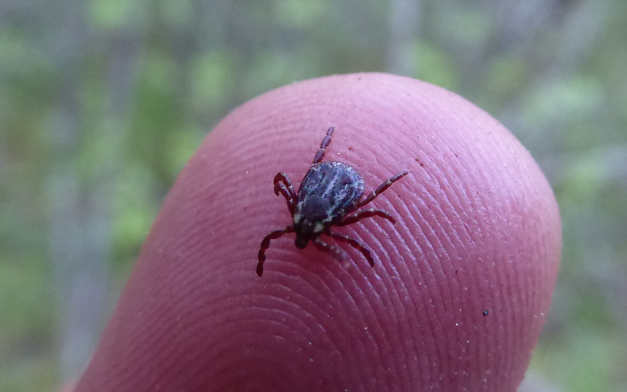
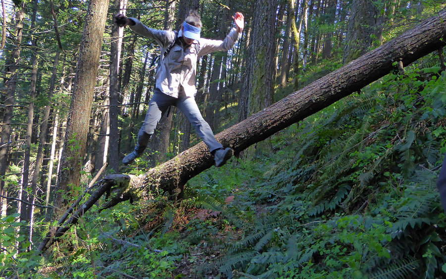
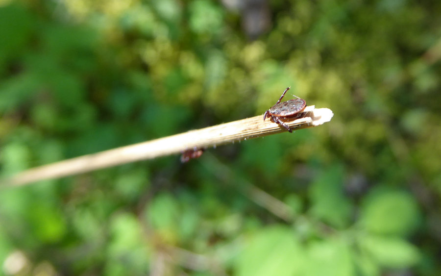
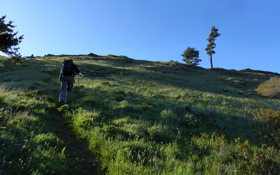
Anyway, the OH field guide entry for Wygant begins with a dire warning about how terrible the trail is. We didn't find that to be the case at all. Seemed there'd been lots of fresh maintenance, and it was in very fine shape. You do need to hop 100 or 150 logs, or so, but nearly all have notches cut in them that make for fine footholds. No, the worst part of the nearly the entire trail were the extreme abundance of ticks! We were looking for and picking them off each other all day long. Crawl under a log, do a tick check! Jeeez... Lots of poison oak on the lower stretches, too.
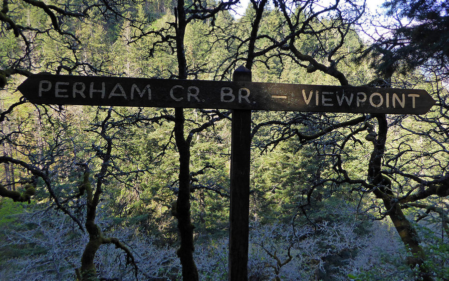
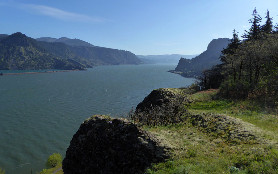
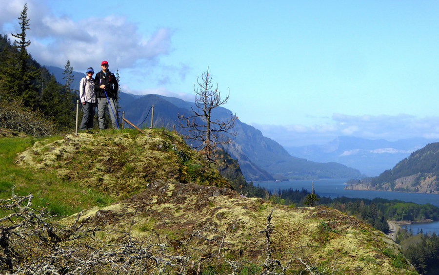
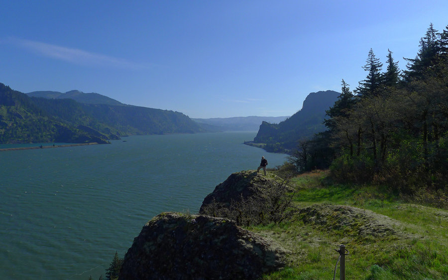
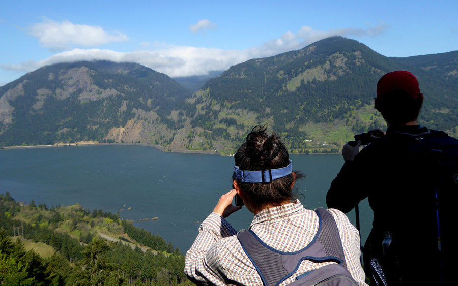
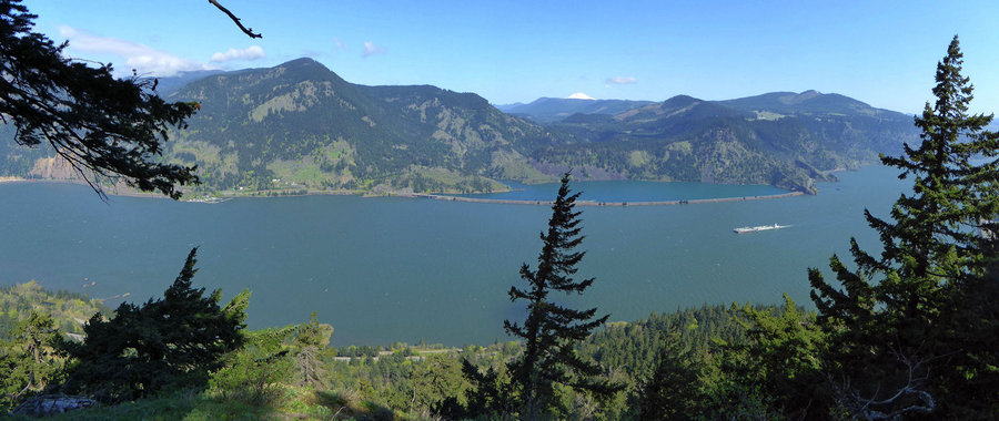
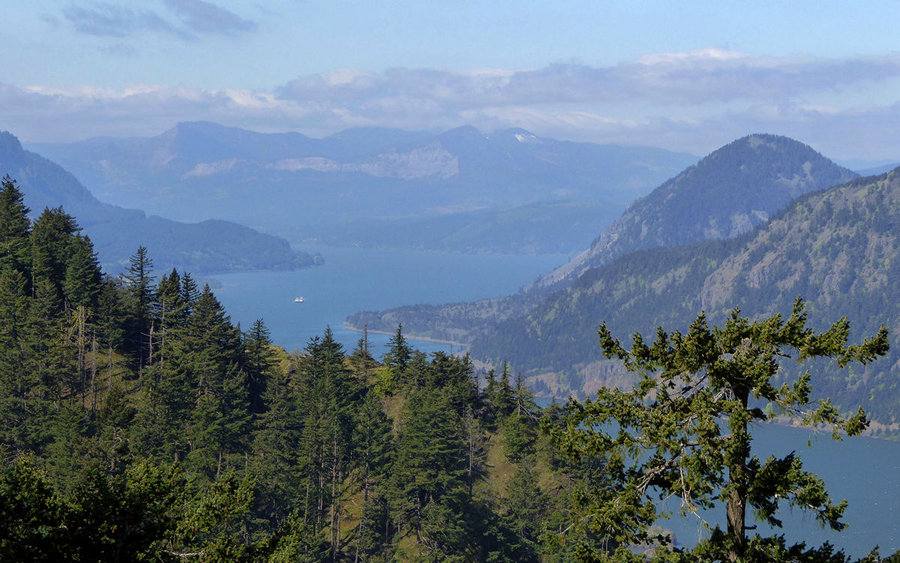
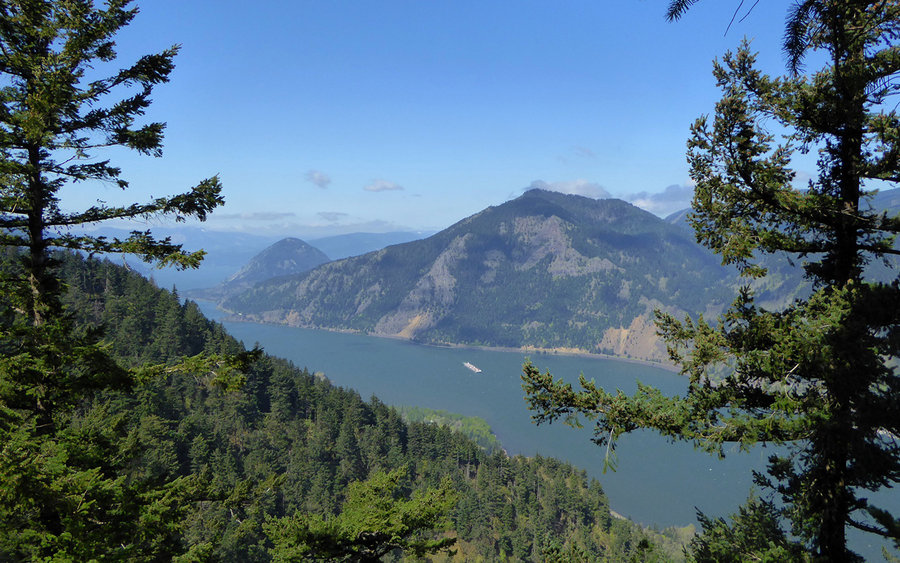
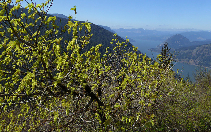
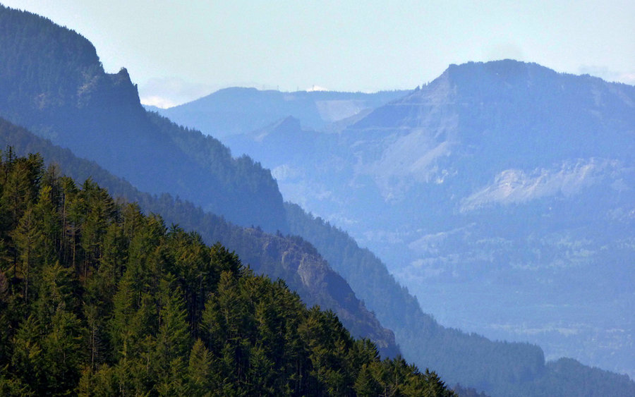
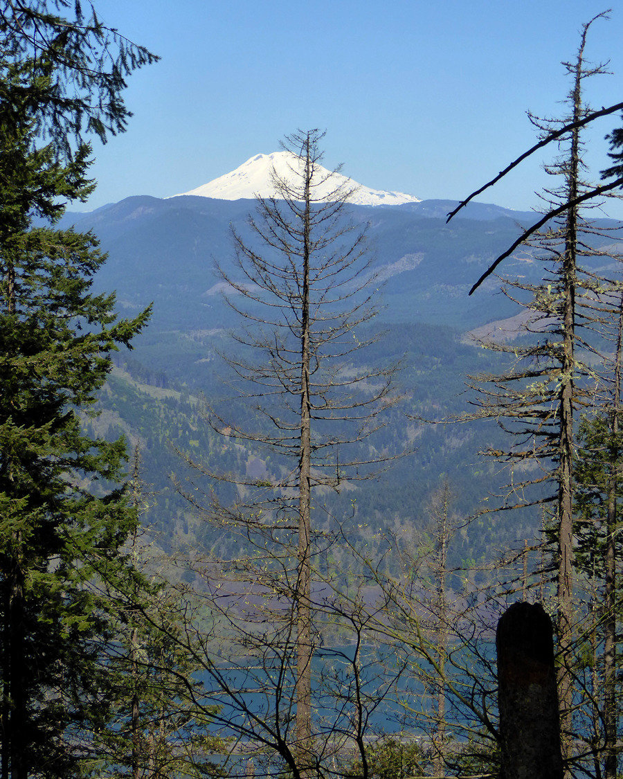
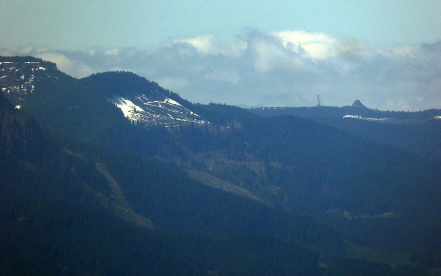
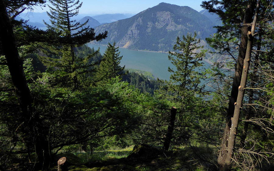
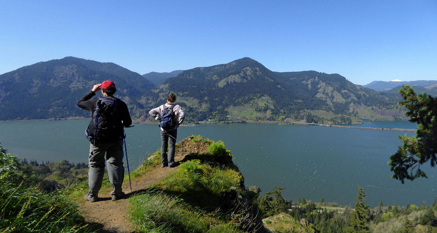
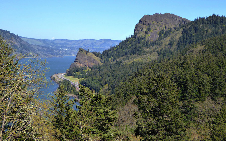
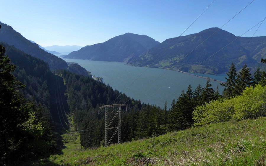
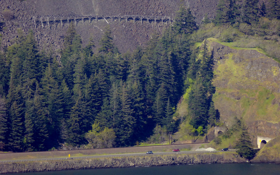
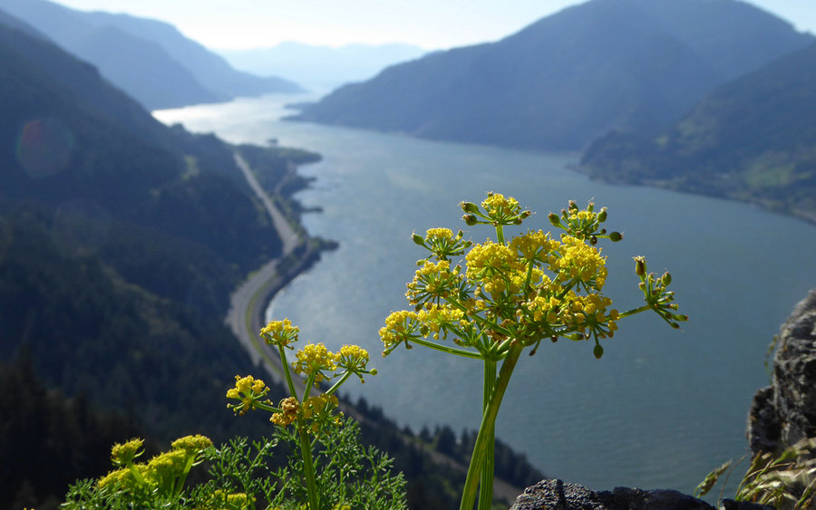
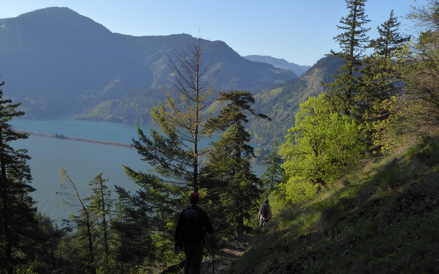
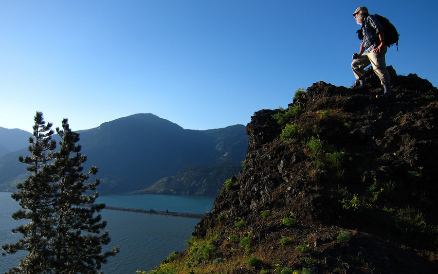
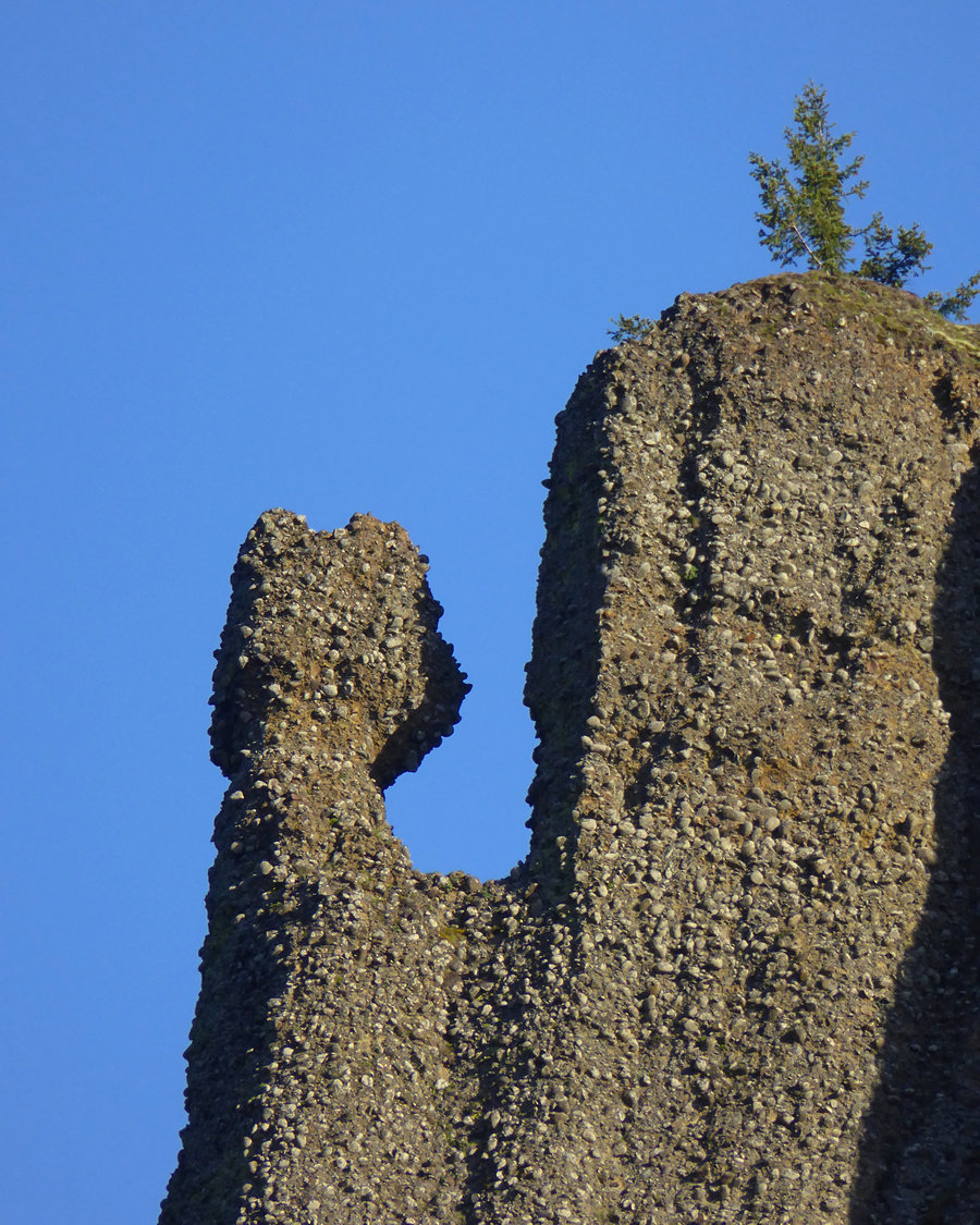
The Wygant trail was just littered with viewpoints. Most pretty much of the same thing - Cook Hill, Dog Mountain, Wind Mountain, the Columbia River, Greenleaf Mountain, Table Mountain, Indian Point, ... you get the picture. But they were all beautiful. Felt sorry for the folks over on Dog, which was in a cloud until noon.
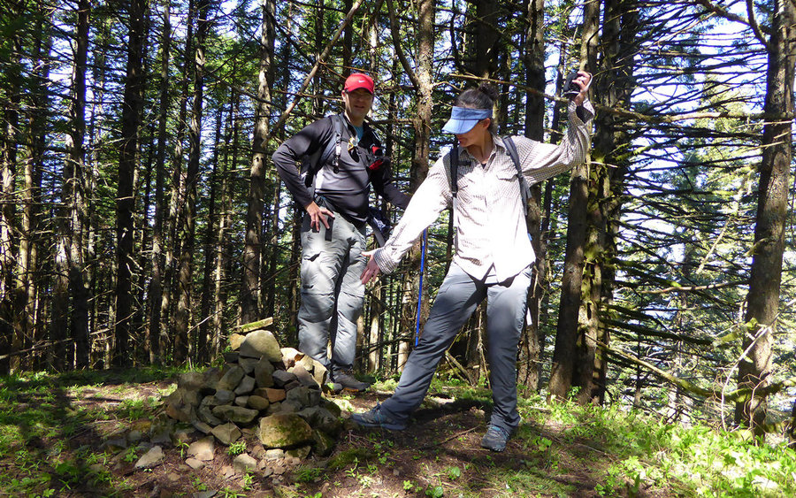
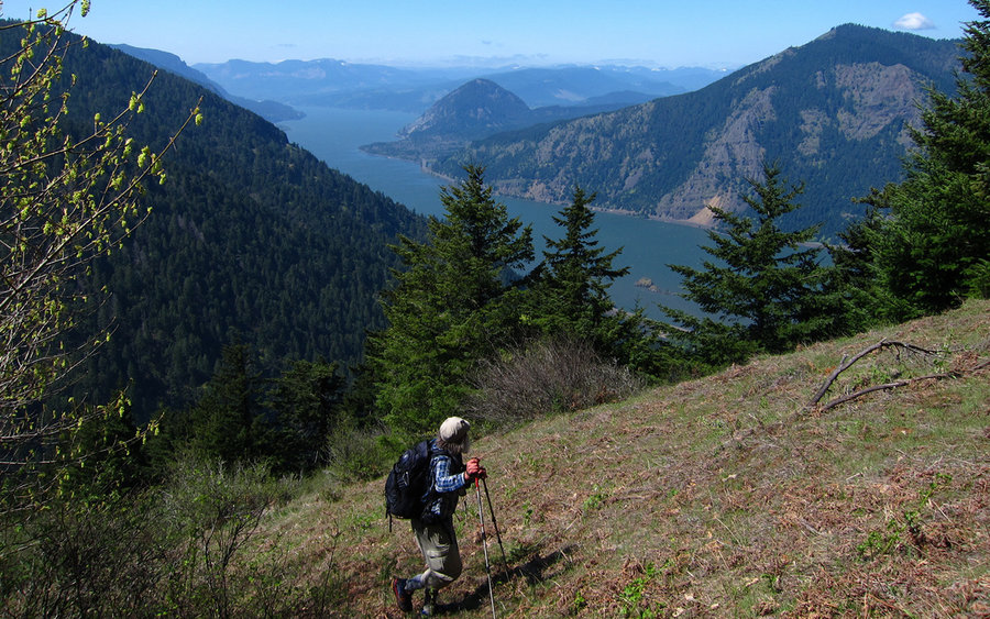
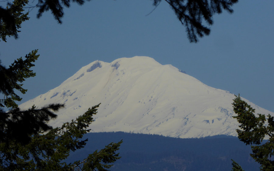
The summit of Wygant is nondescript. A cairn in the forest. If you squint through the trees, you can see Mount Adams. But if you continue to the southwest, following the ridge, you get to a marvelous little hanging meadow where the views really open up from Viento Ridge over to Dog Mountain. Could've sat there for a couple hours, if only we could've sat (remember: ticks!).
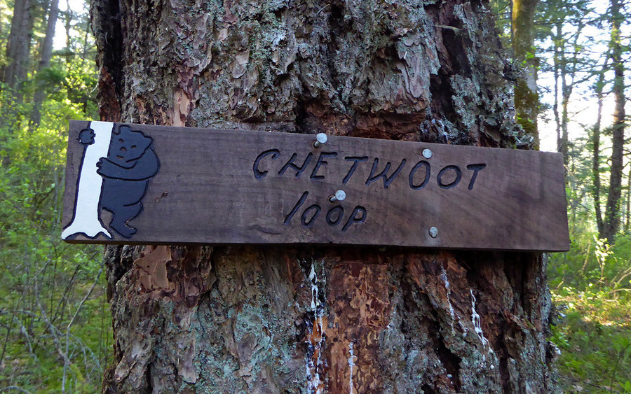
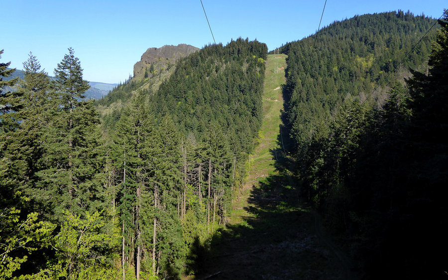
On descent, we took the Chetwoot south to the powerlines, then followed them over to Mitchell Point. It was a bit of an effort adding 1000' or so of EG on the tail end of the hike, but I'm sure preferable to going back to the TH and taking the standard approach. Very nice jeep trail to follow, and much of it was actually in the woods.
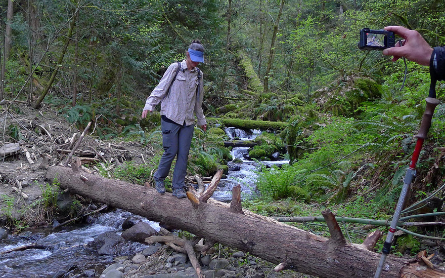
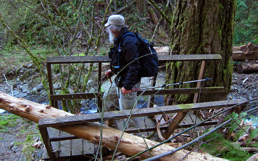
We'd been warned about crossing Perham Creek, but that was a total non-issue now that most of the snow has melted. Clearly, that thing was raging when the bridge got blown away. But it was just a simple log crossing now.
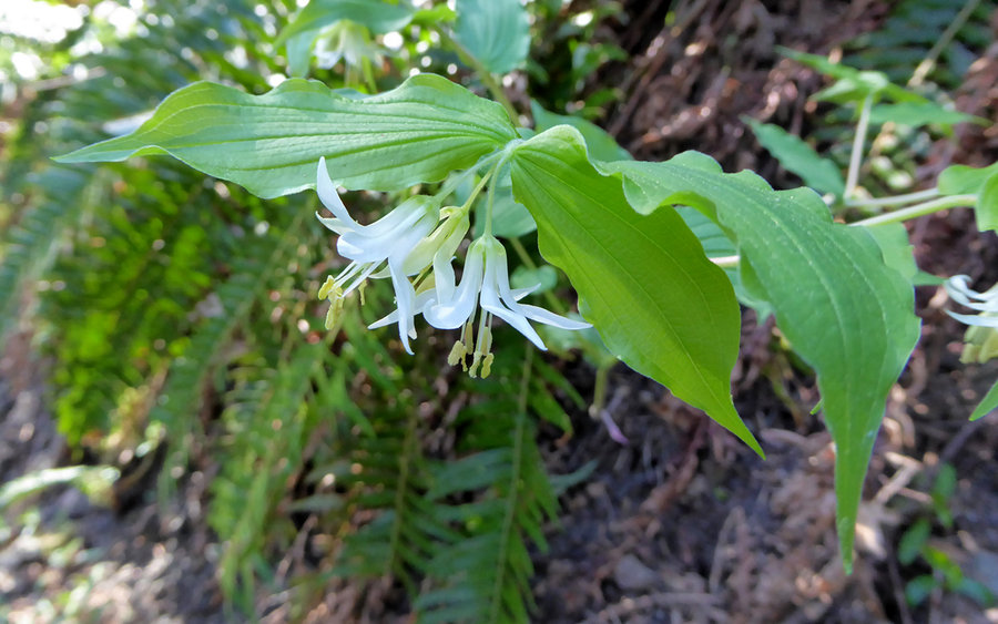
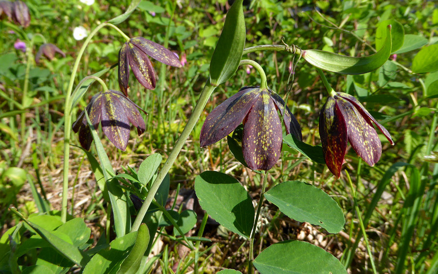
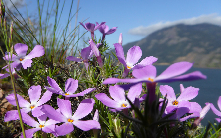
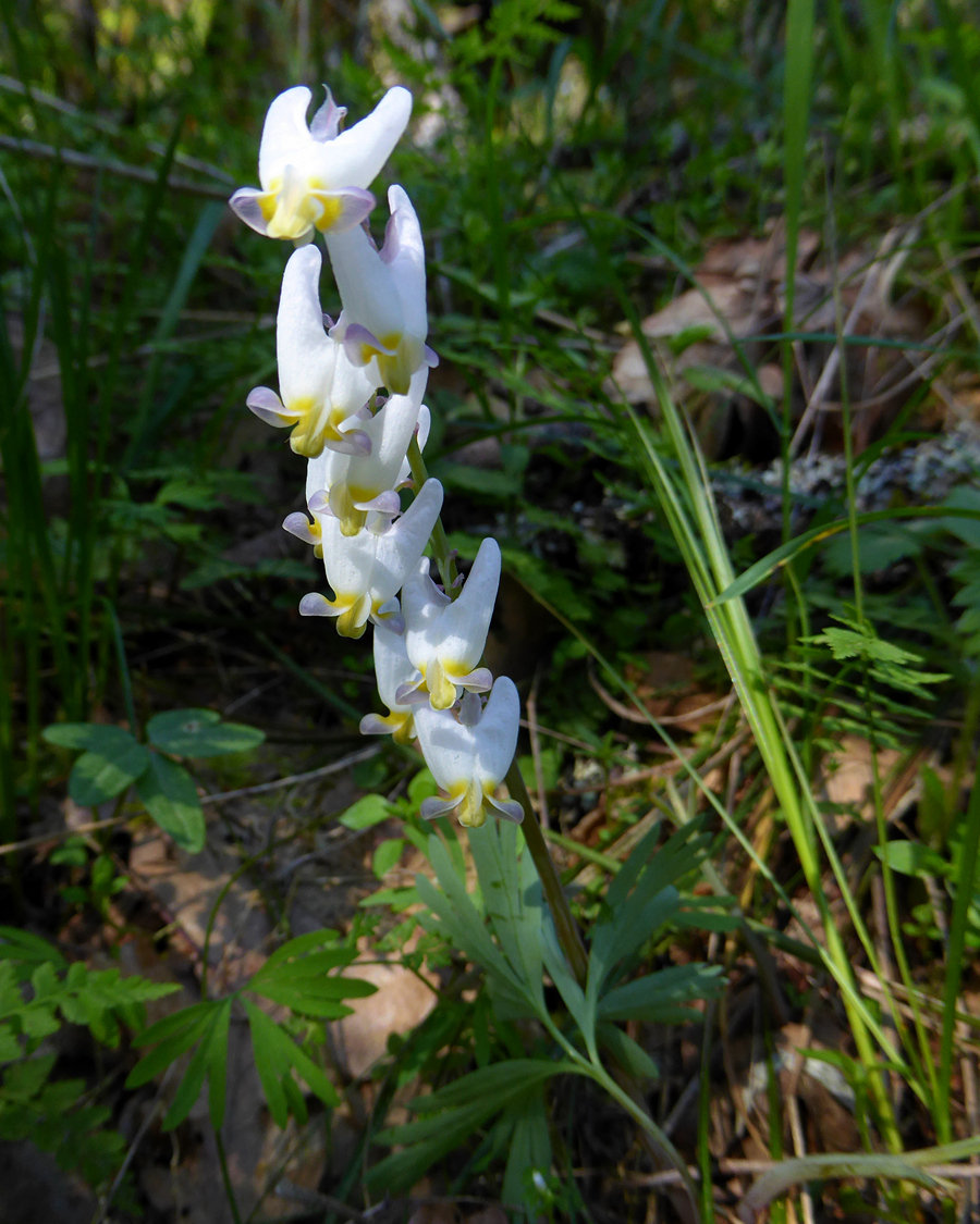
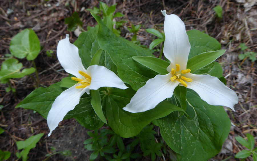
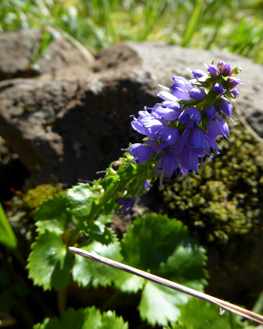
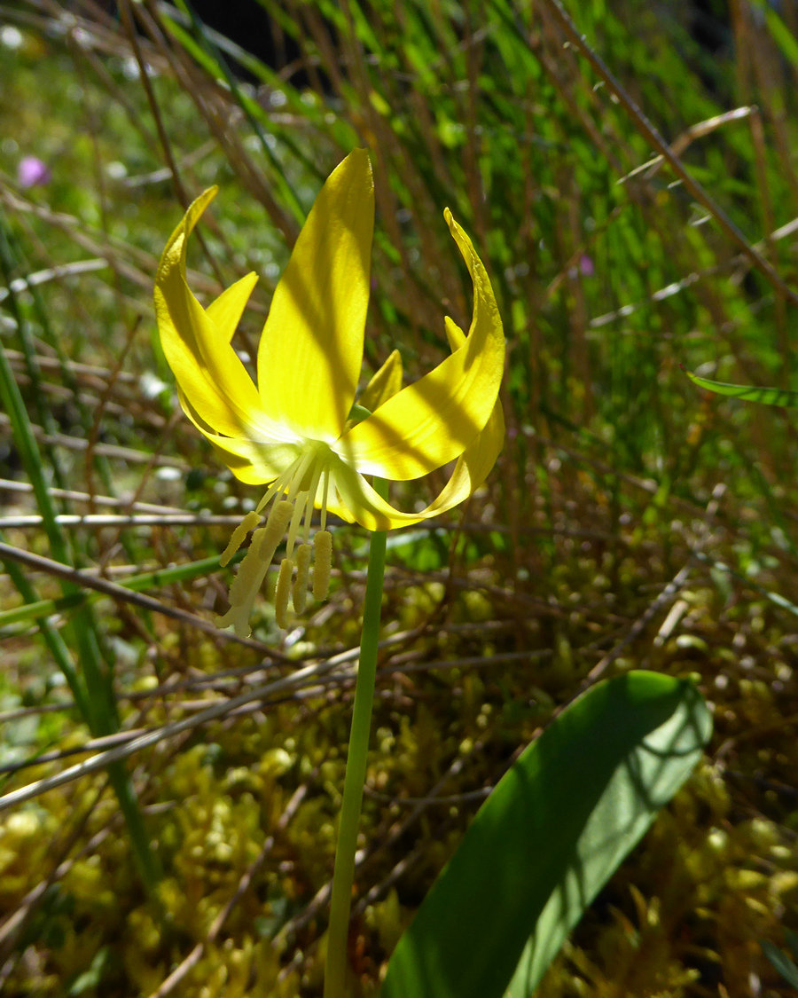
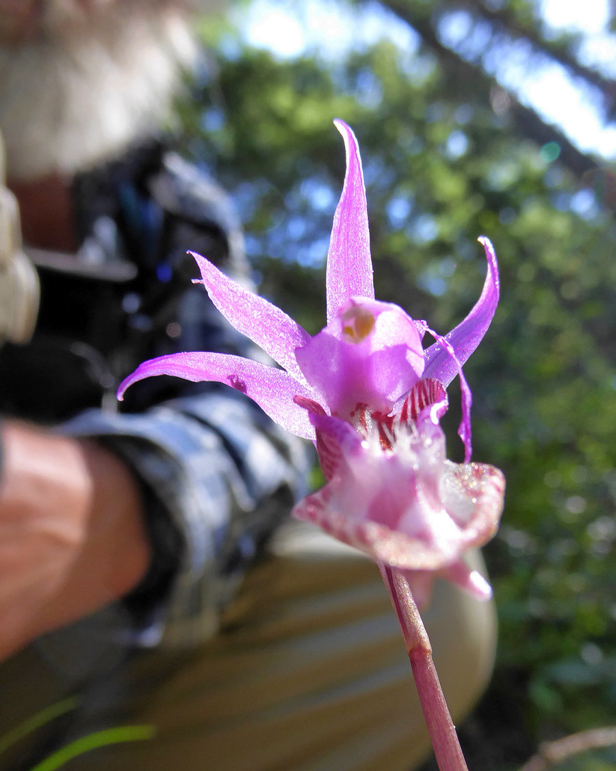
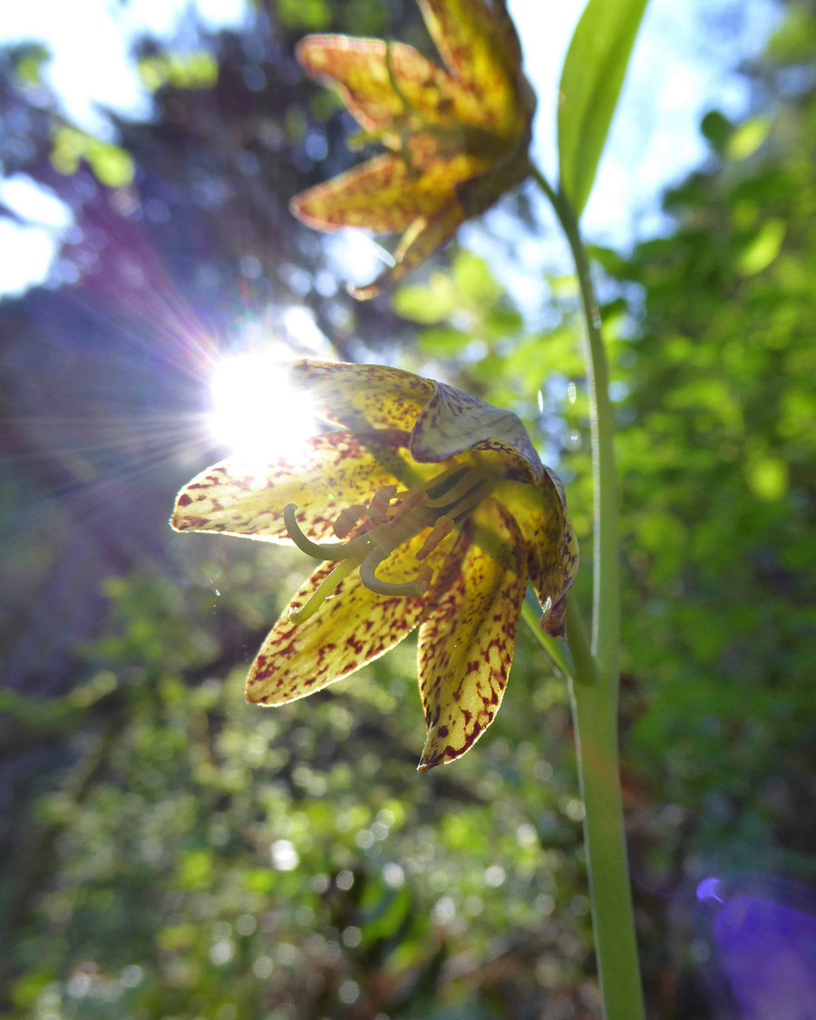
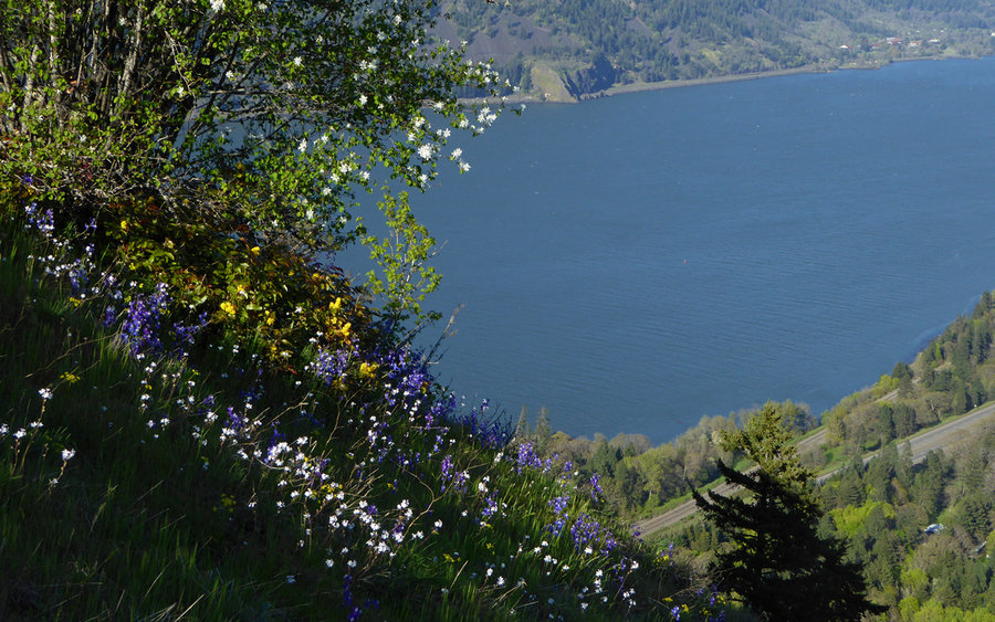
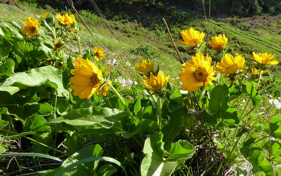
All-in-all, an incredible day, with really good trail friends! Would recommend anyone who hasn't should give this one a shot someday. We saw an abundance of spring wildflowers, and just generally had a great time.


Comments

Karl
April 12, 2016
I'd say it really beats going back to the trailhead and then taking the regular route up to Mitchell Point, yeah!
Woodswalker
April 11, 2016
Looks great. I'd been wondering about the powerline options as well. I'd heard it was a possibility.