13 miles of hiking • 4000' elevation gain •
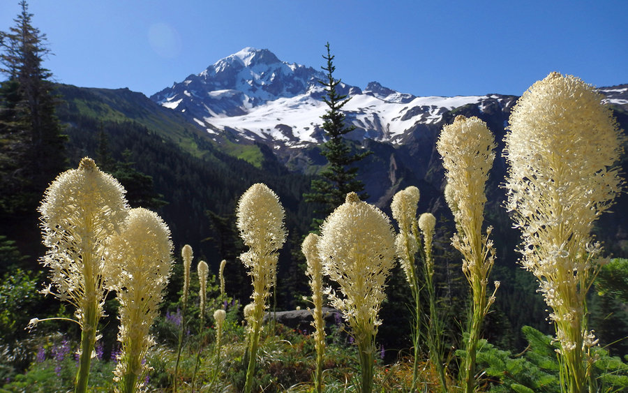
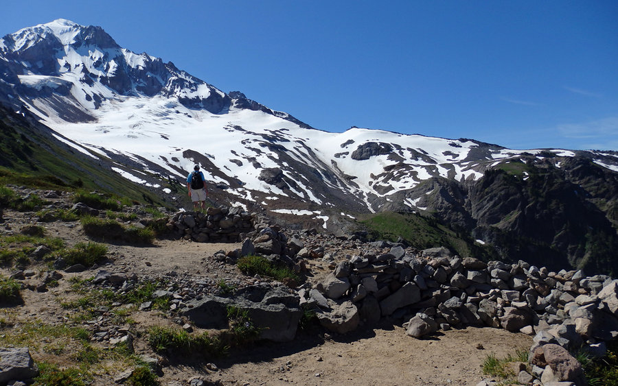
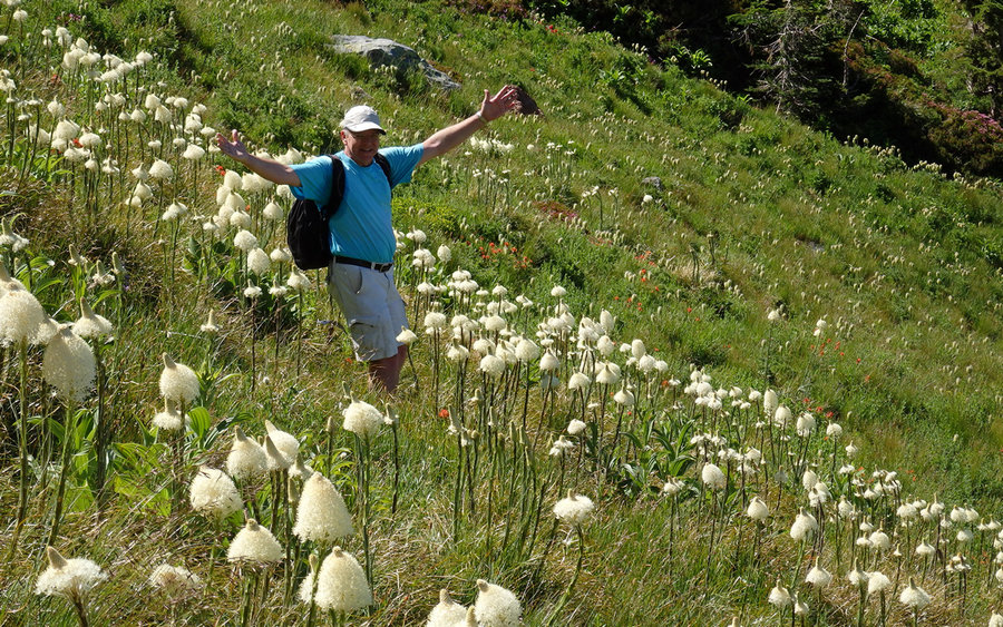
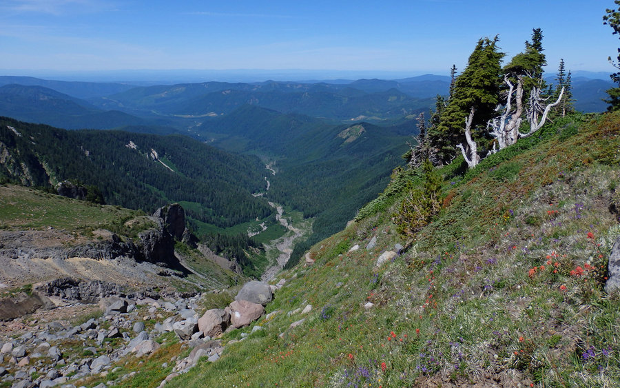
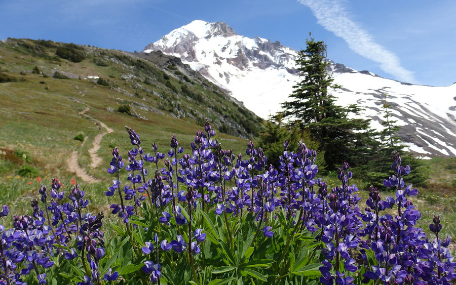
Despite arriving at the Top Spur trailhead right about 8am, the main parking was already consumed, and folks were starting to parallel park above and below. Still, we ran into very few other hikers all day, considering the number of cars we saw. The walk up the ridge, through the forest, was very pleasant in the coolness of morning. Not as many flowers out on Bald Mountain, or in the ridgeline clearings, as I had anticipated, though.
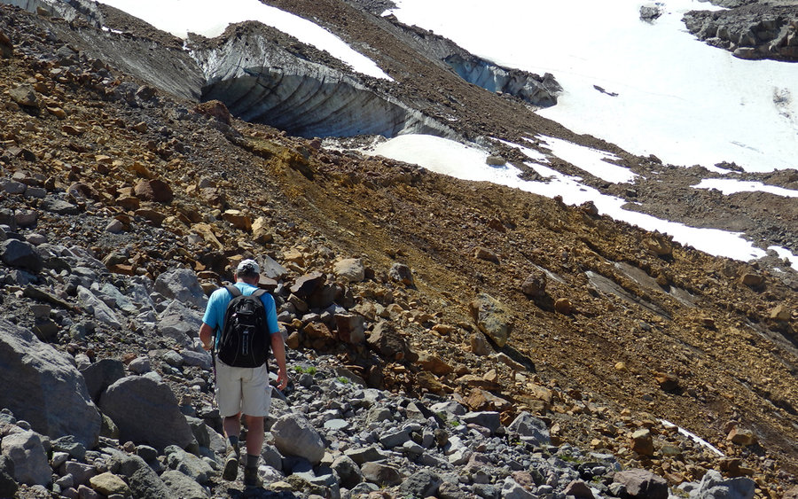
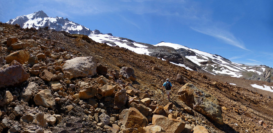
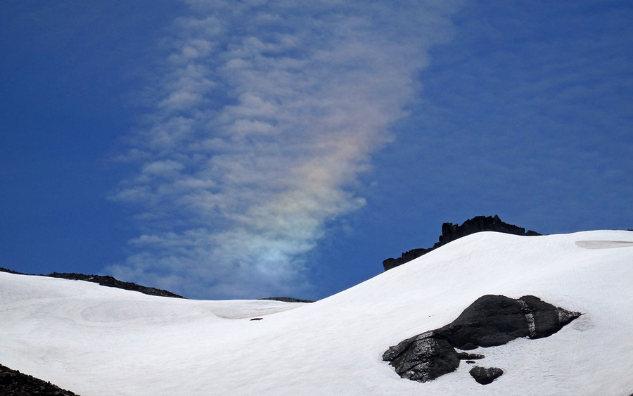
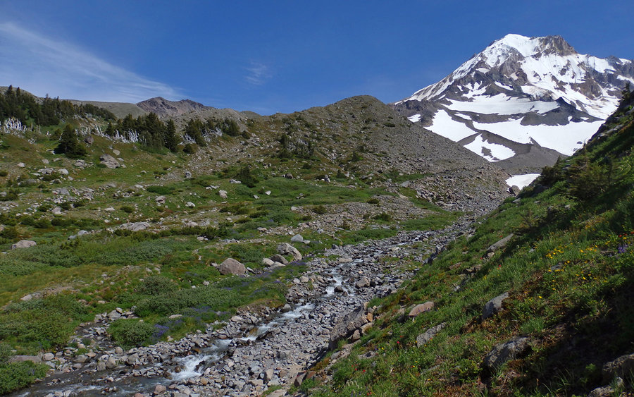
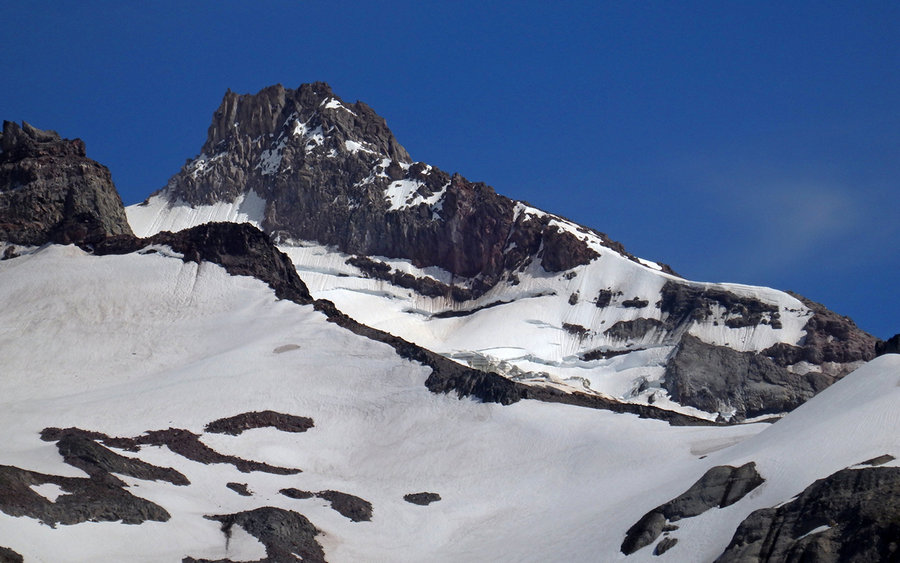
We veered off at the "climber's scramble" route to McNeil Point, and headed off-trail near the double-bivy site just a bit above the shelter. Traversing the hillside into the glacial valley was uneventful, and didn't even resemble work until we turned uphill along a convenient lateral moraine. Navigation is pretty straight-forward through here, though the footing isn't. Everything moves underfoot! Be sure of each step.
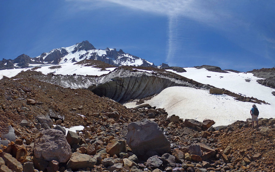
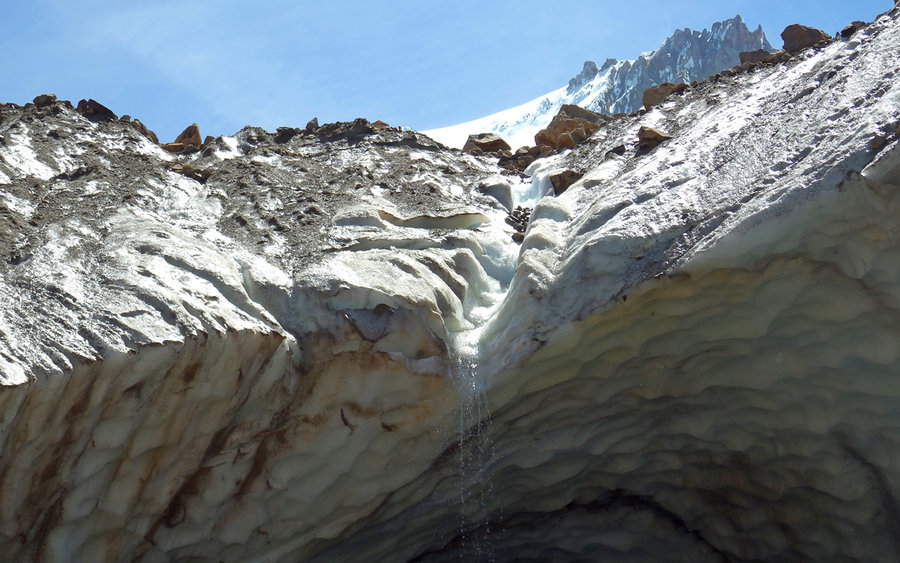
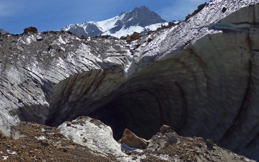
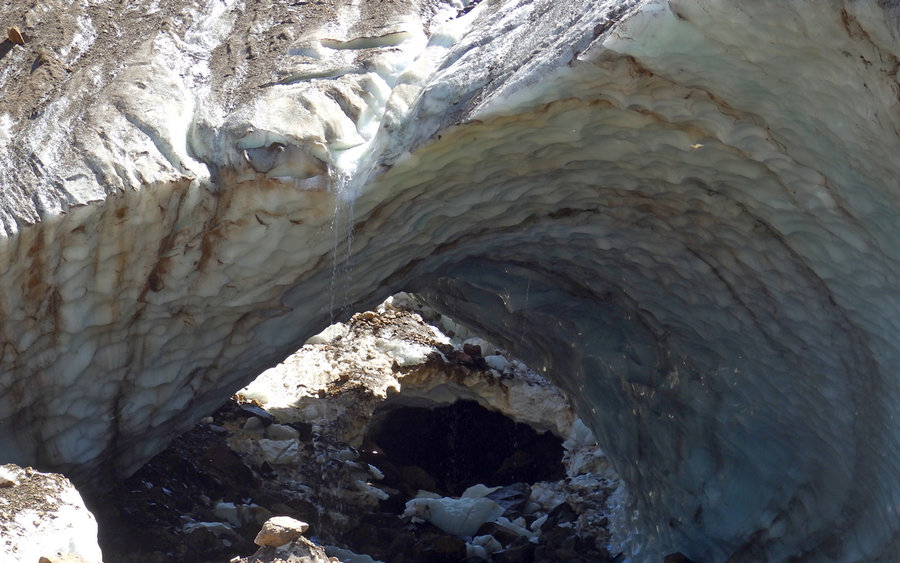
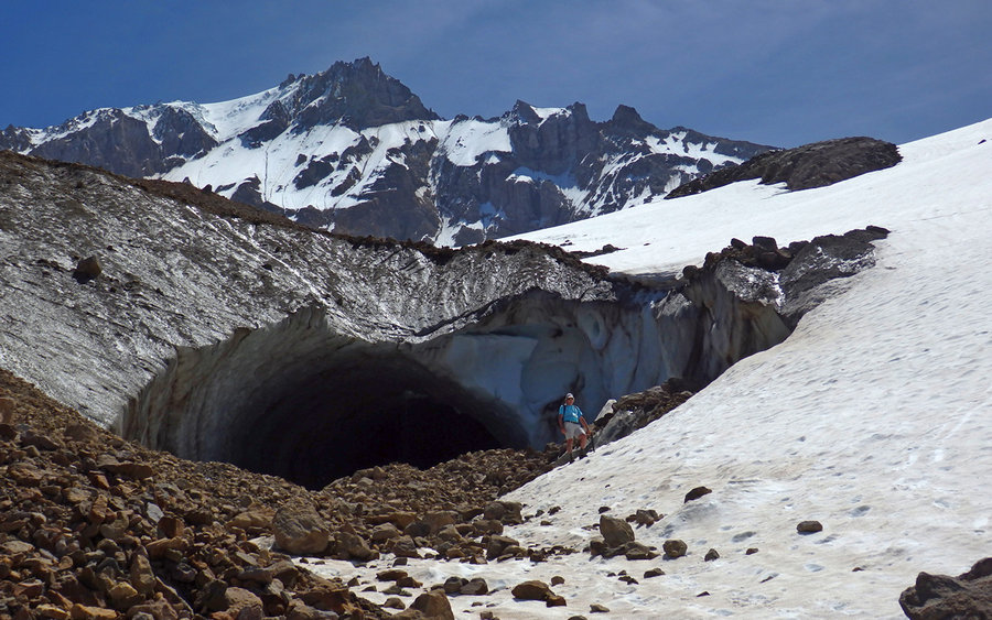
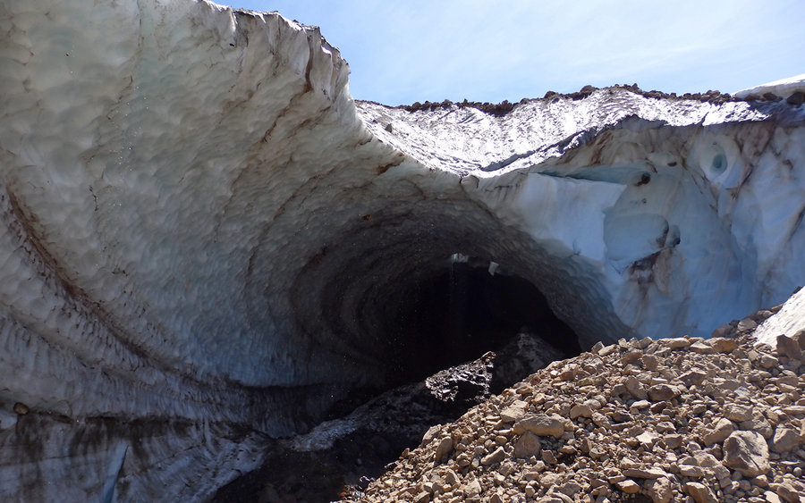
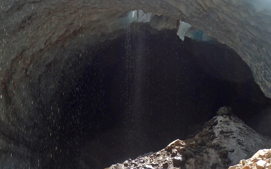
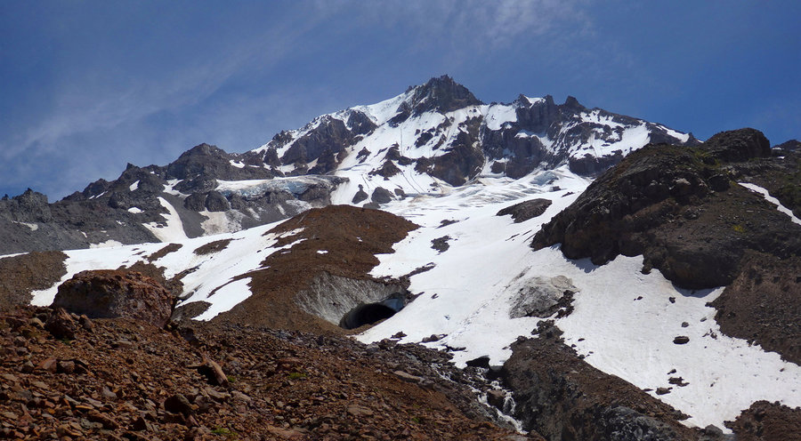
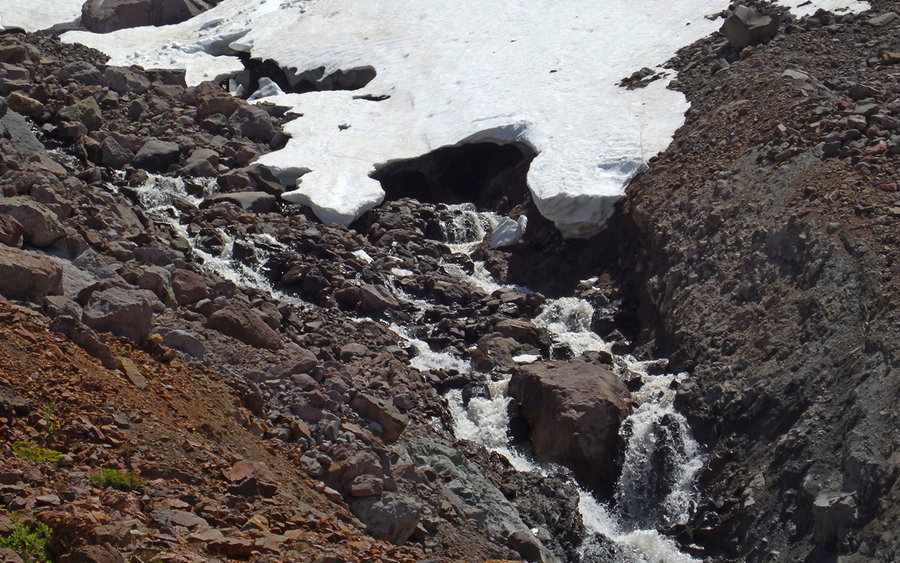
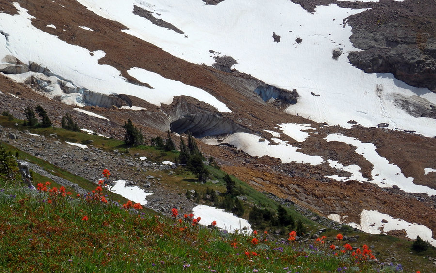
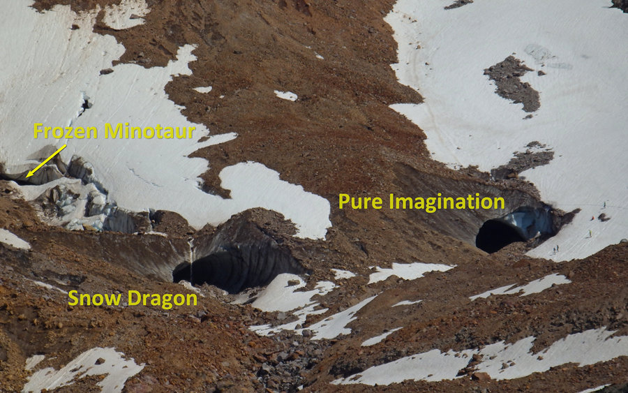
While on the glacier, we visited the entrances to the "Snow Dragon" and "Pure Imagination" ice caves. Neither of us felt it wise to go inside either. The ice was melting rapidly, with constant "rain" inside the caves, and rocks were tumbling wildly over the entrances. There was one set of fresh footprints going towards a cave, and right on top of them was a boulder the nearly size of a VW Beetle which had just tumbled down. Amazing!
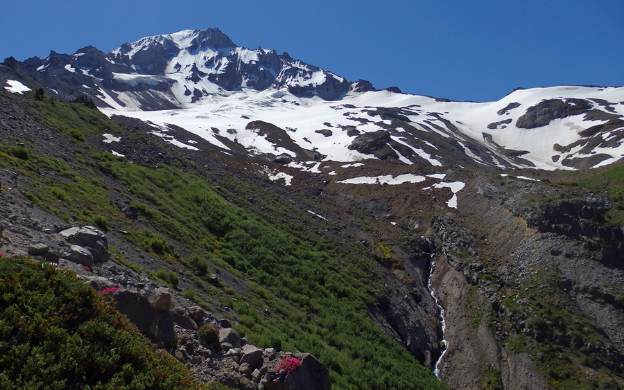
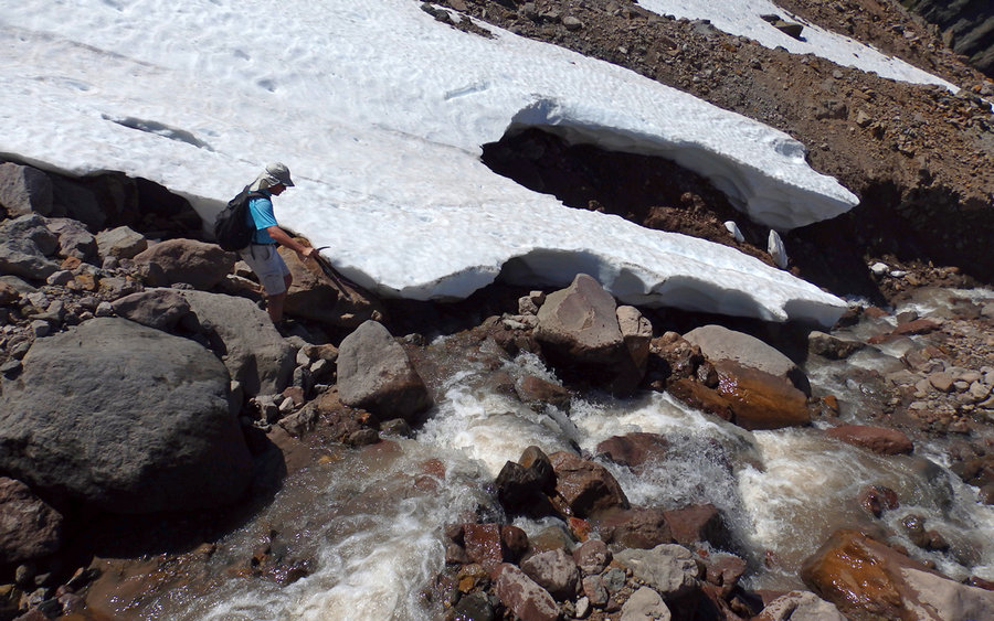
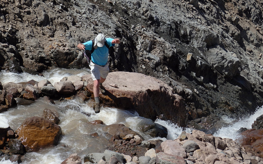
We'd hoped to continue on over to Yocum Ridge, but the stream flowing out of Pure Imagination was really impassable. Up high, extremely tenuous snow bridges covered it. Mostly. Collapses were evident. Farther down, a lip of snow was on the far side, and would've collapsed had we tried to land there. At the one spot were a crossing was possibly viable, the far side was a very steep ash and rubble slope. Sliding backwards could've resulted in washing down a waterfall. Just not cool.
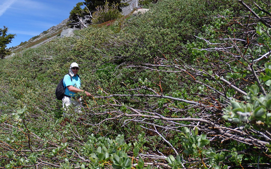
So we decided our main goal had been achieved, and the full loop would come again another day. Headed back towards McNeil Point, this time taking a higher line to hit the ridge about halfway to the normal turnaround point. Not a bad line, though we got "stuck" in a thicket of nasty brush for awhile. Otherwise, just a scramble.
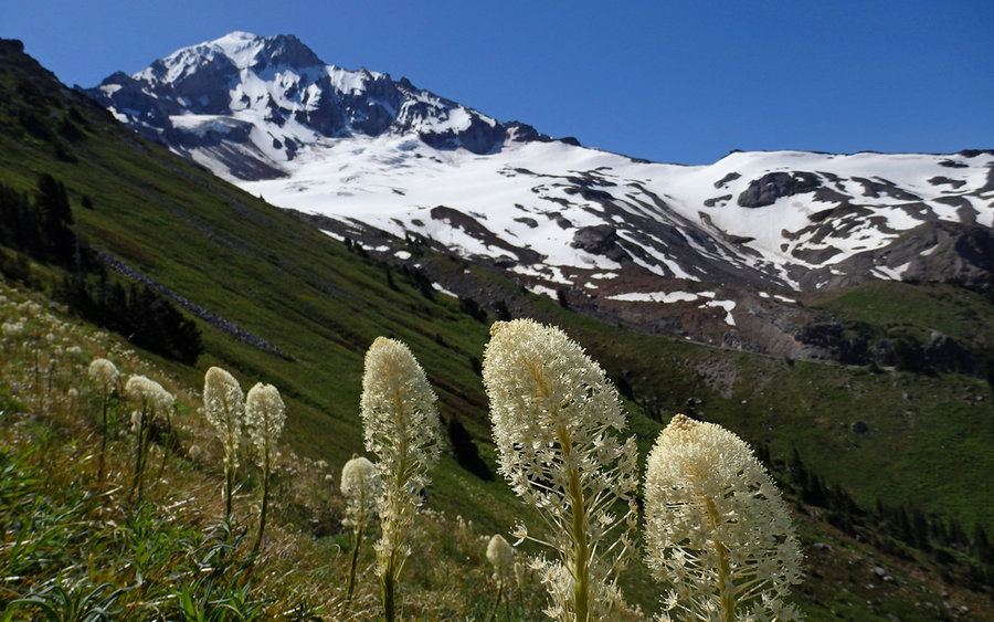
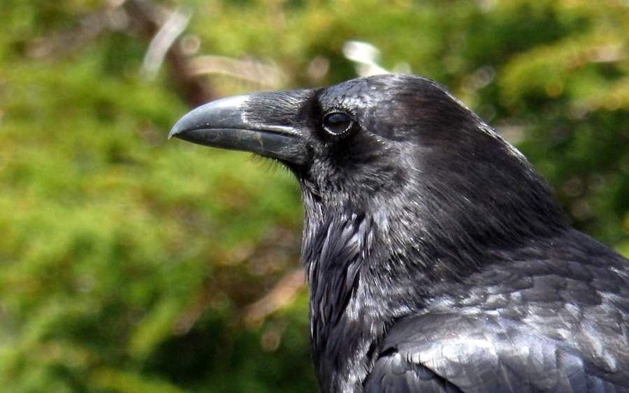
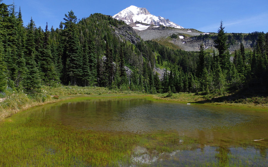
Our descent followed the regular tourist trail down, along McGee Creek, and past the tarns. Some flowers out in this stretch, but nothing at all overwhelming. Looked up Gladd Ridge, to see the path we had taken just two days earlier up to Barrett Spur. I think we just missed Acorn Woodpecker, darn it.
This was a challenging trip, and ought to be avoided by those unfamiliar with glacier travel, and especially by anyone uncomfortable navigating off-trail.