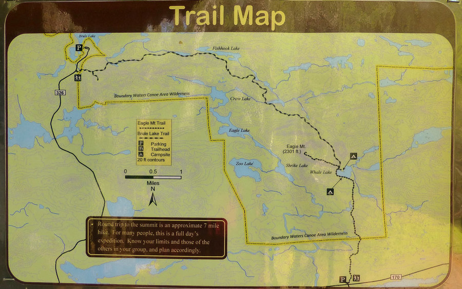
7 miles of hiking • 1500' elevation gain •
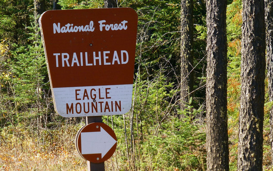
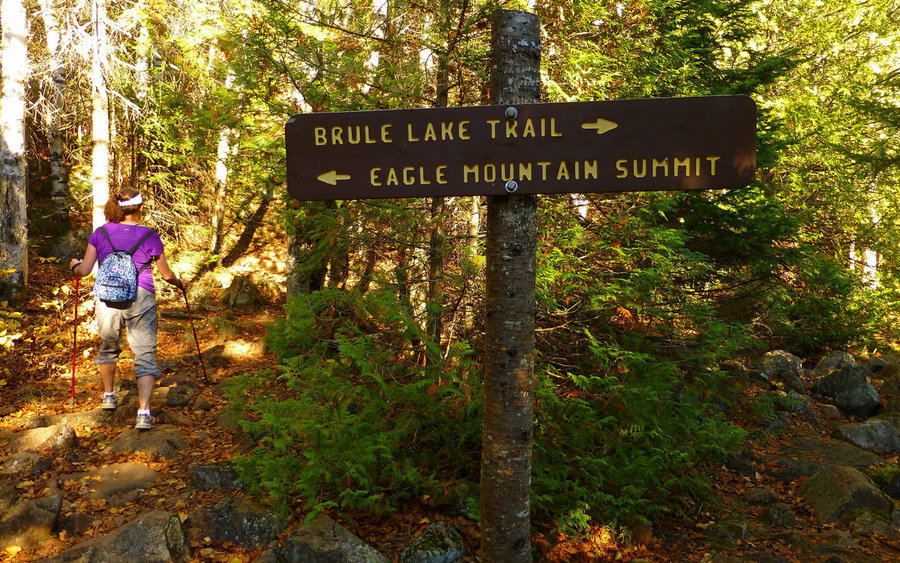
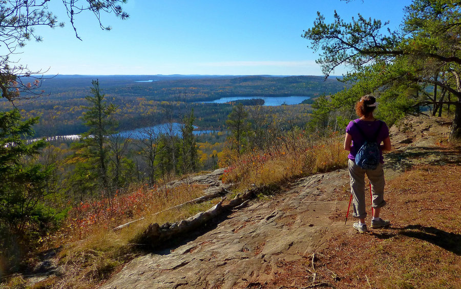
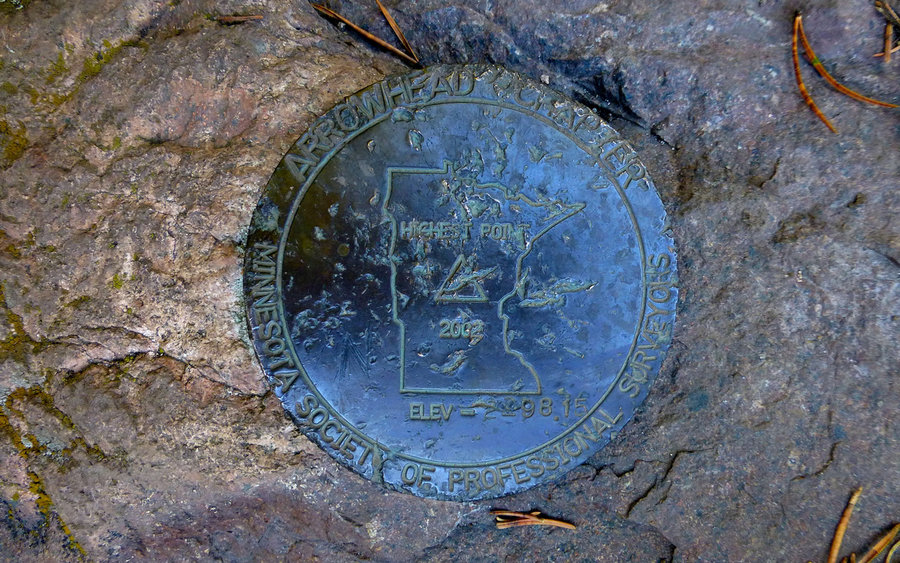
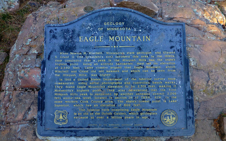
Hiked up to the highest point in Minnesota, ticking that one off a long and ever growing list. Have wanted to do this one for years, so it felt really good to finally bag it. Eagle Mountain is within the Boundary Waters Canoe Area Wilderness and soars to the impressive height of 2301' above sea level. Perhaps even more interesting is that it's only 13 miles from the lowest point in Minnesota - Lake Superior at 602'.
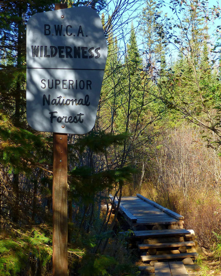
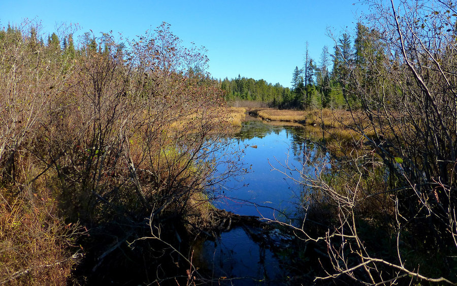
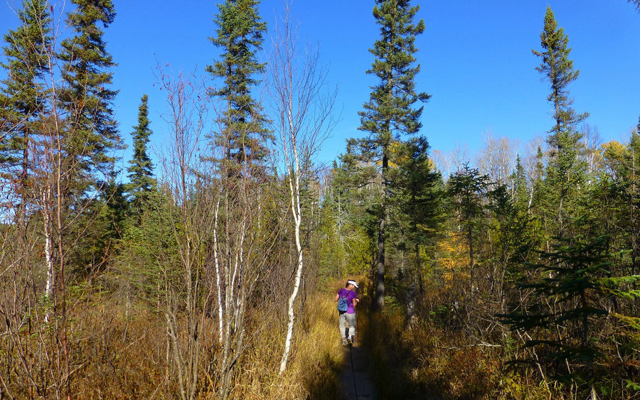
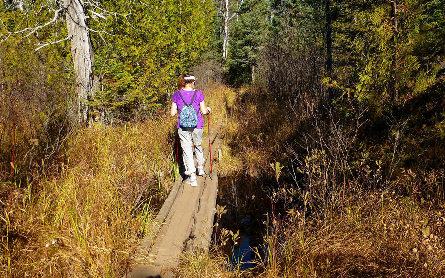
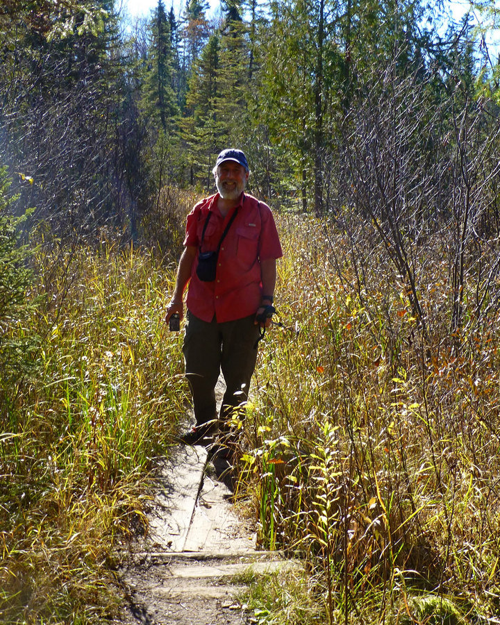
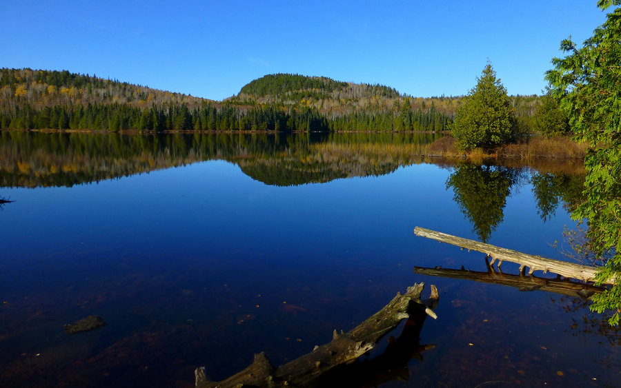
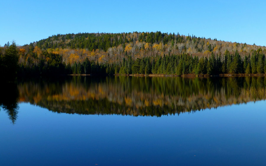
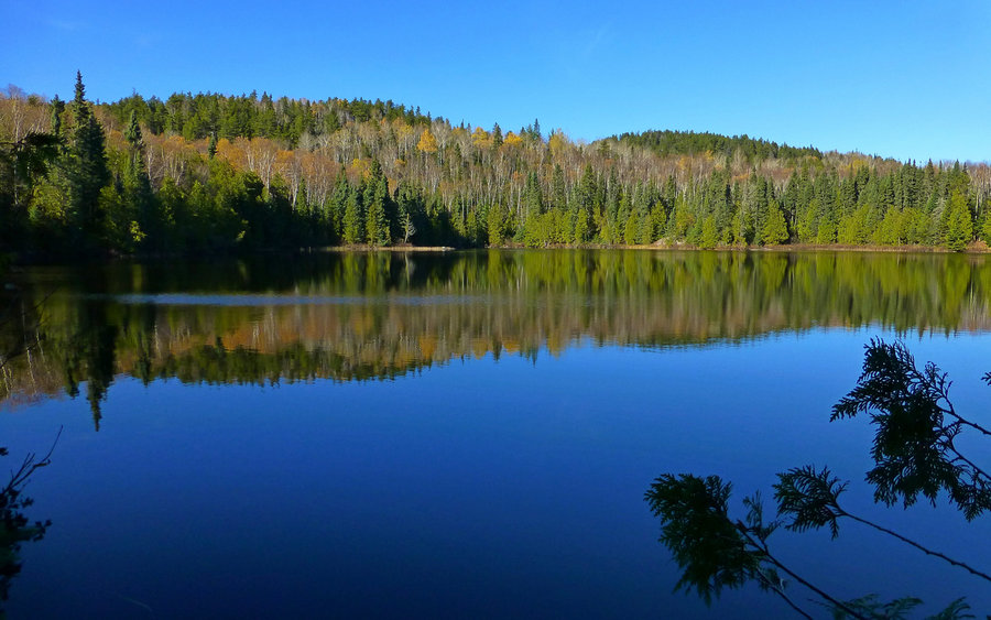
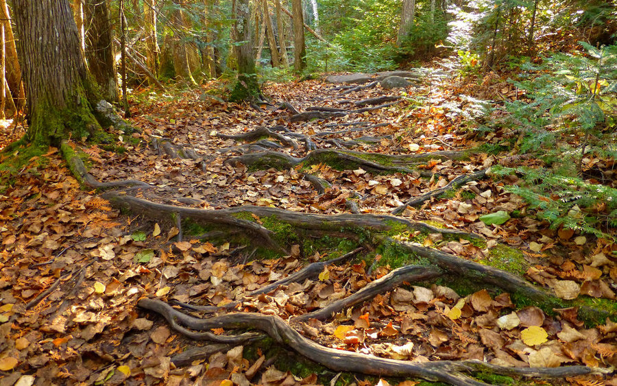
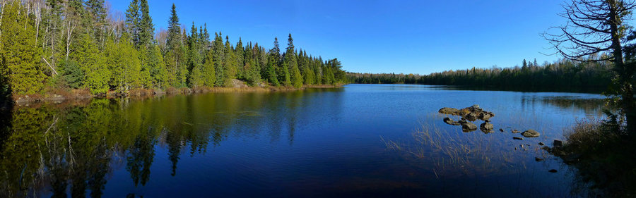
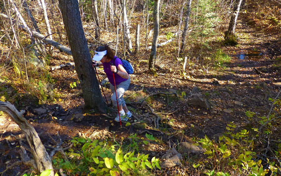
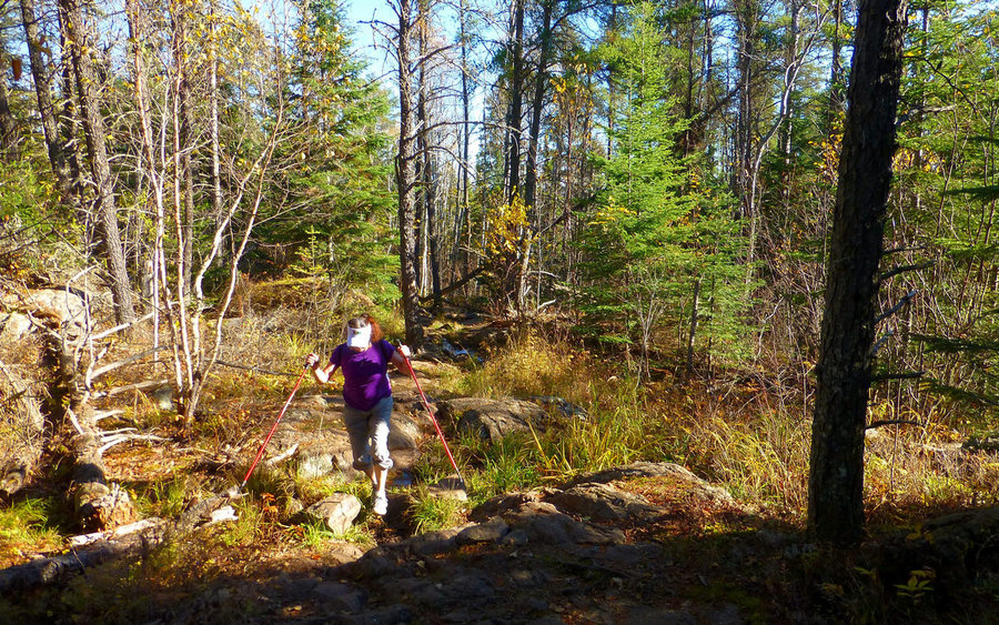
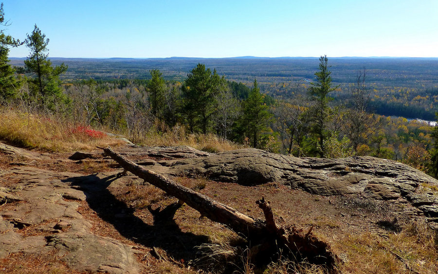
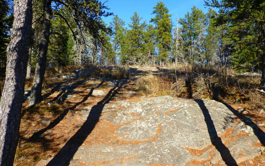
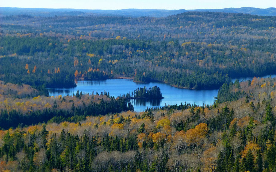
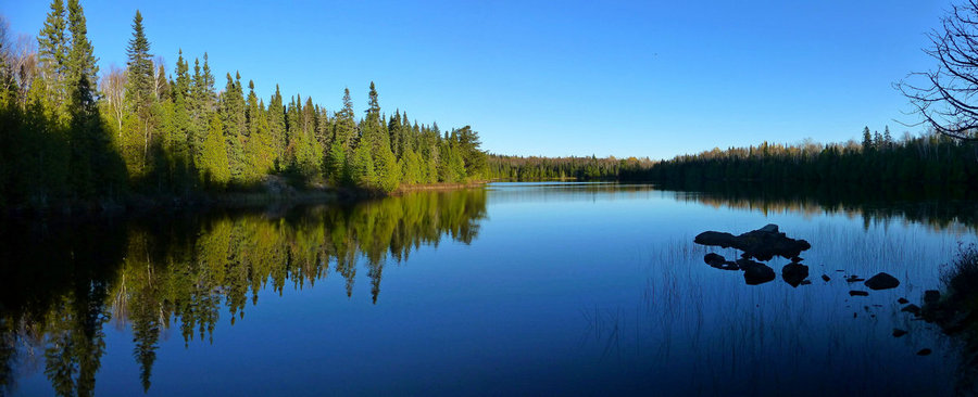
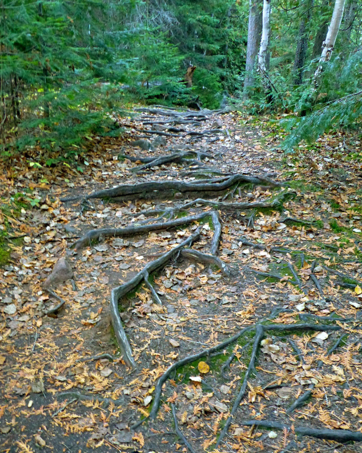
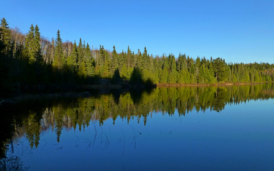
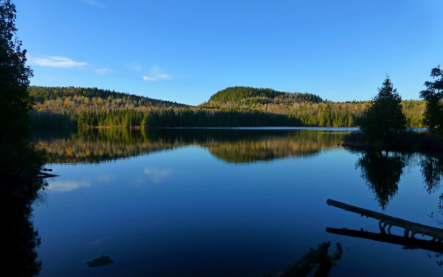
The hike in is mostly wooded, mixed with some swampy areas that seem to have been created by beavers. The soils are extremely thin, given how little time they've had to rebuild following the last ice age. The trail is mostly rocks and roots. The rocks are possibly the oldest exposed on the surface of the Earth, ranging well over a billion years old. There were also some nice lakes we passed along the way.
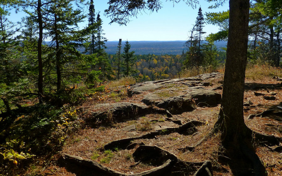
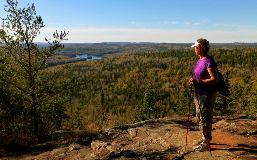
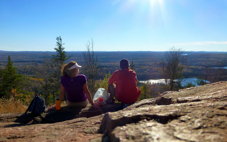
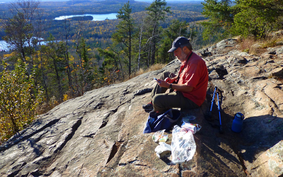
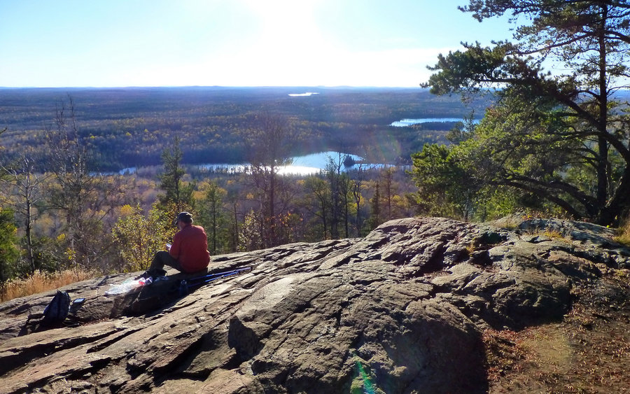
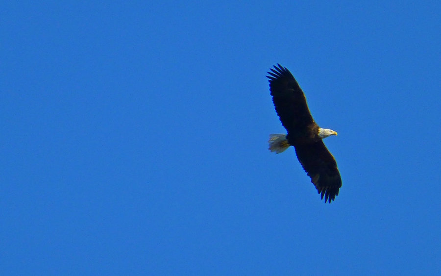
The forest is mostly birch, aspen, hemlock, cedar, and pine. There were spots with glorious golden tamarack (larch), too. On the summit, we lunched at a marvelous viewpoint that took in a wide swath of the BWCA and Lake Superior as well. Just as we were about to leave, a bald eagle drifted slowly by us, just 50 or so feet away. It seemed he was just as interested in us as we in him. He proceeded to circle above us for 5-10 minutes, before catching a thermal and slowly ascending into the sky.
We timed our return to the trailhead almost perfectly, getting there about 20 minutes after sunset. Absolutely incredible day. :-)