16 miles of hiking • 6000' elevation gain •
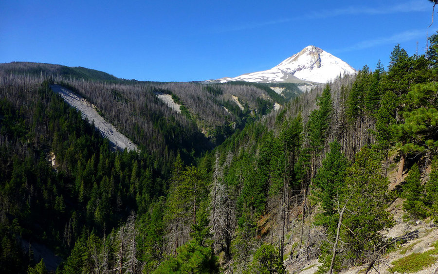
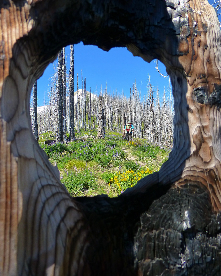
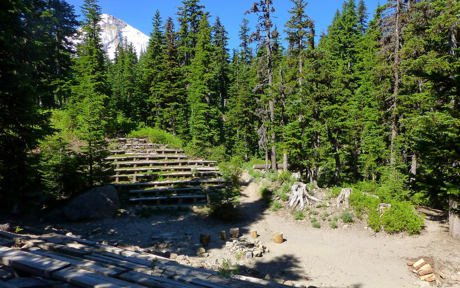
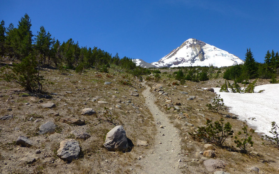
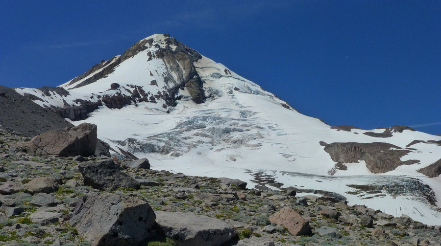
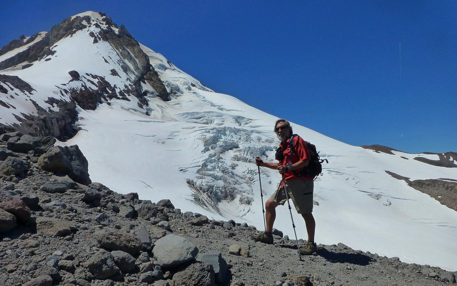
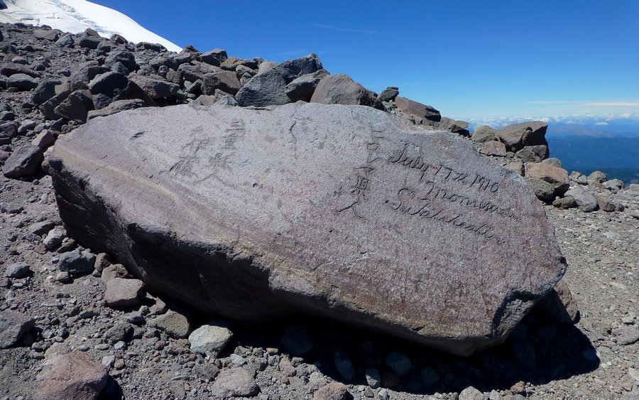
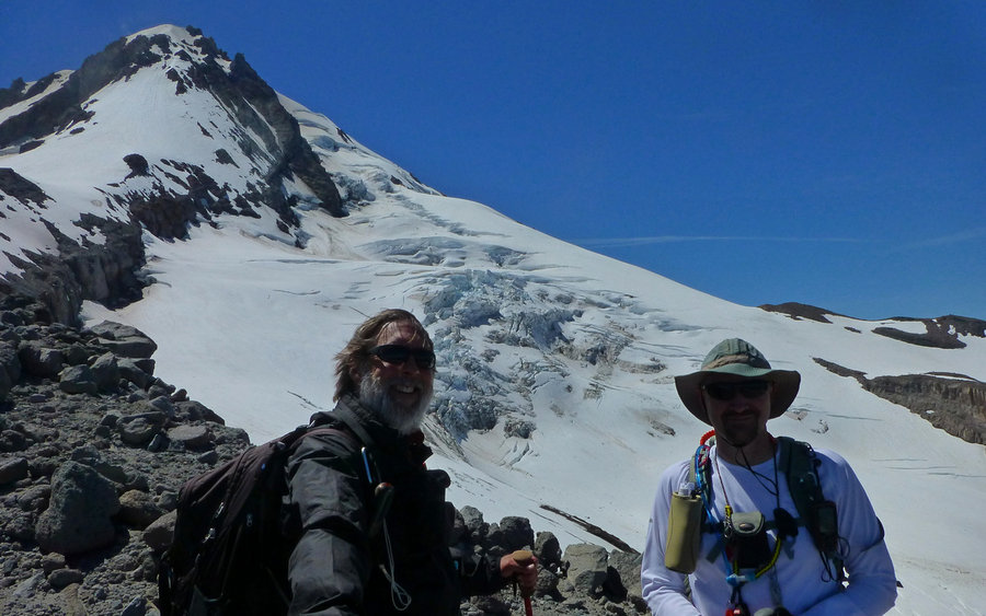
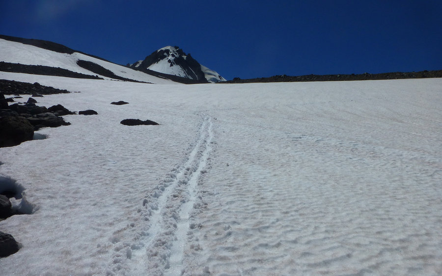
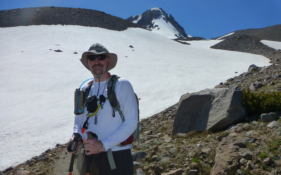
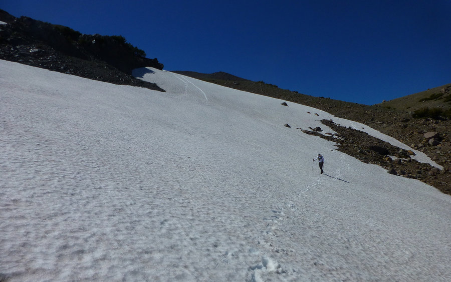
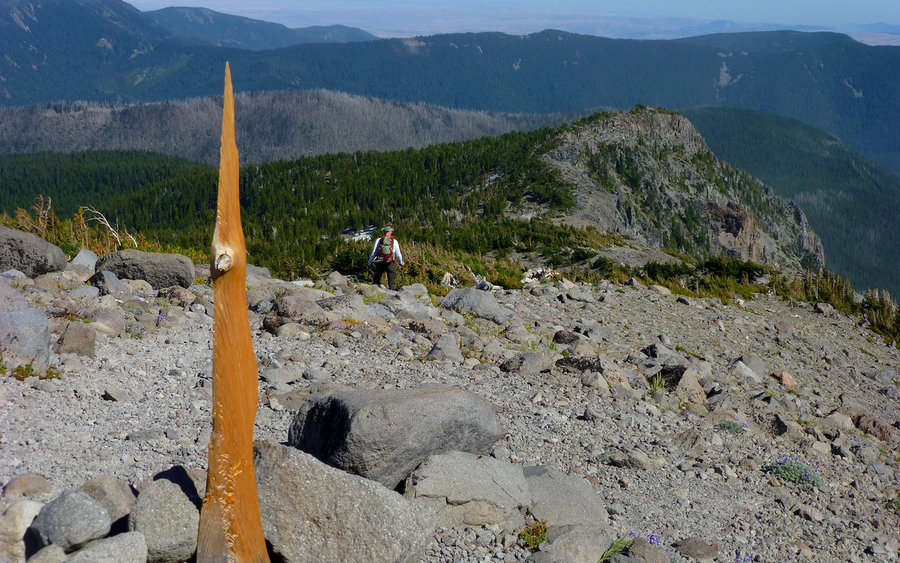
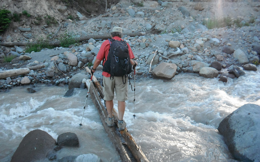
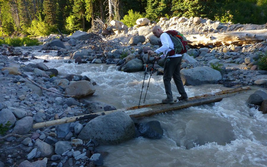
Devised a fun "shuttle loop" from Cooper Spur Ski Area, up Polallie Ridge to Tilly Jane, up some more to Cooper Spur, back down along the Timberline Trail over to Gnarl Ridge and Lamberson Butte, and finally down to Hood River Meadows. Really nice way to avoid the in/out nature of Cooper Spur if you can drop one vehicle at HRM. The road to Cloud Cap is still closed; ranger said until mid-August. But that's alright, climbing the 1800' in 2.5 miles along Polallie Ridge seems far preferable to driving it in 11 nasty gravelly miles at 15mph. Doing the shuttle using Cloud Cap as one end would've added nearly three hours of driving to the day! Time far better spent on the trail.
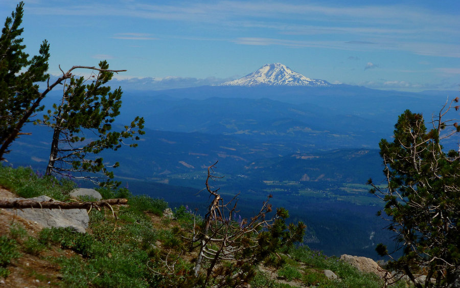
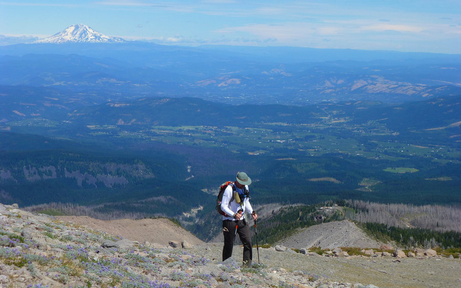
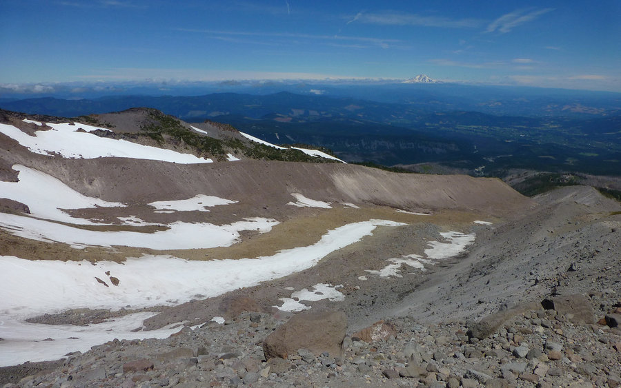
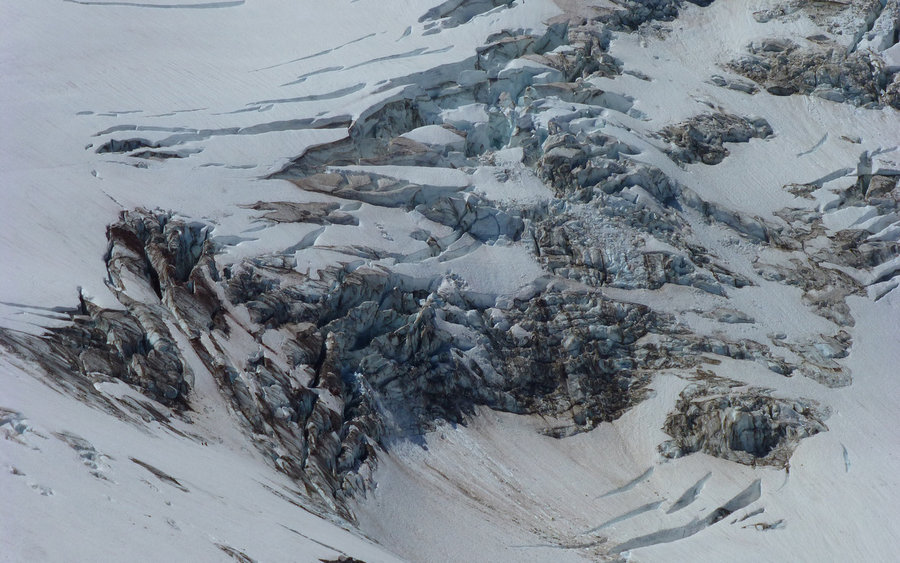
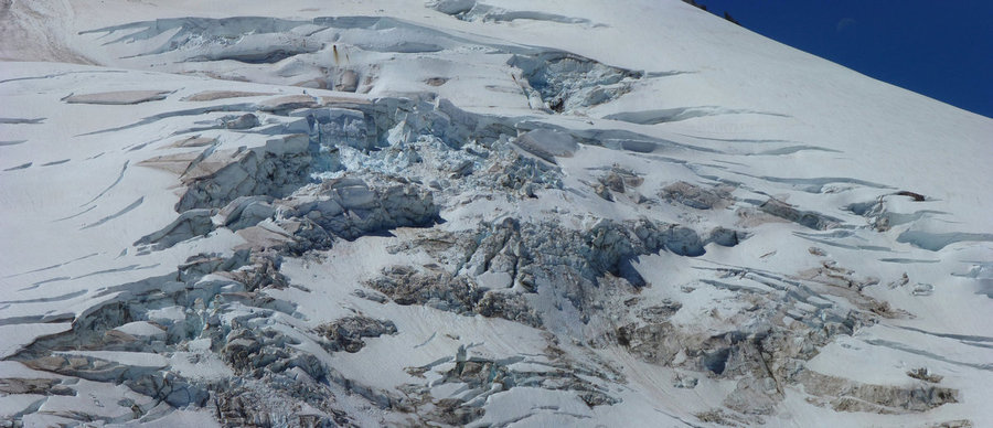
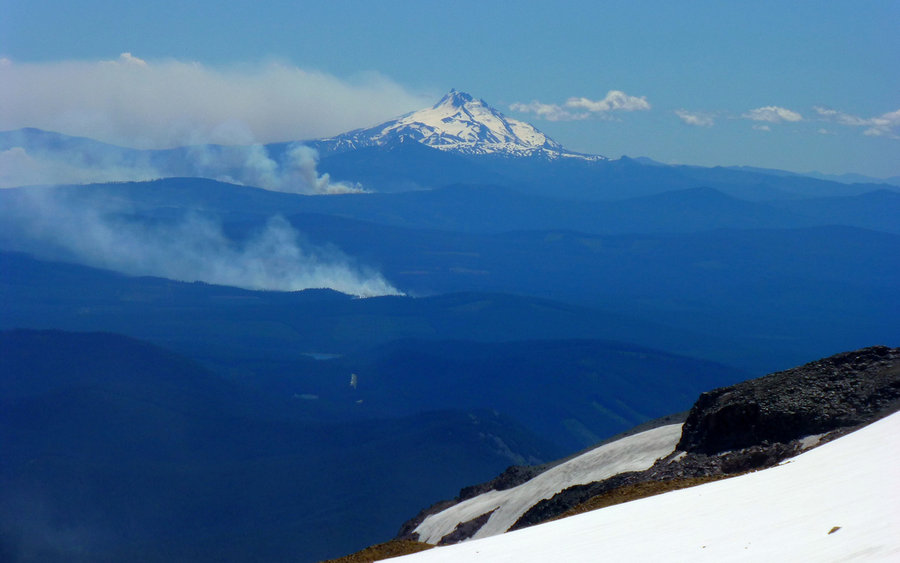
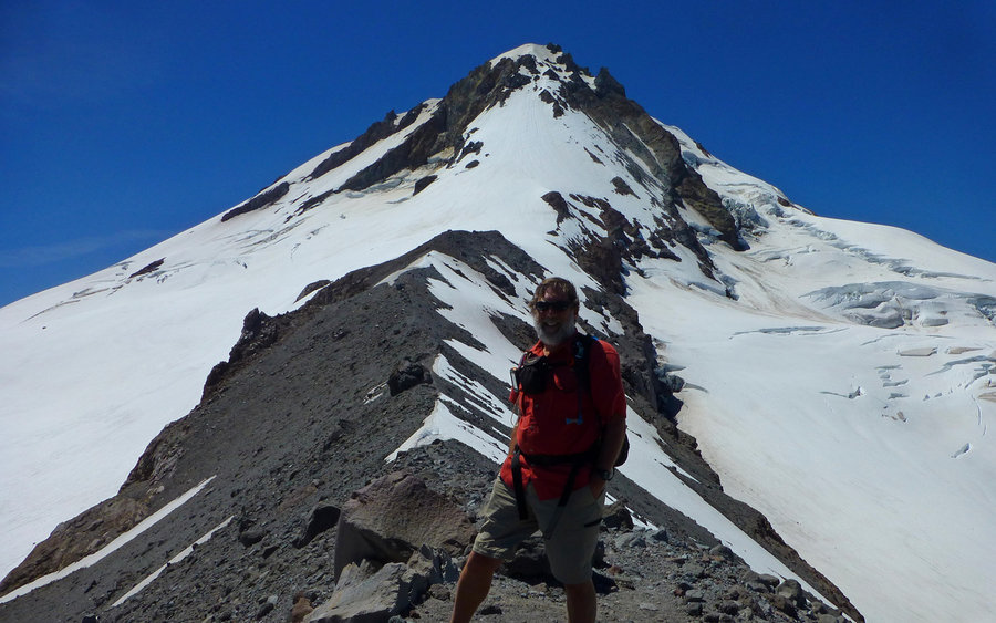
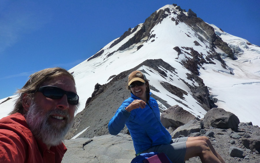
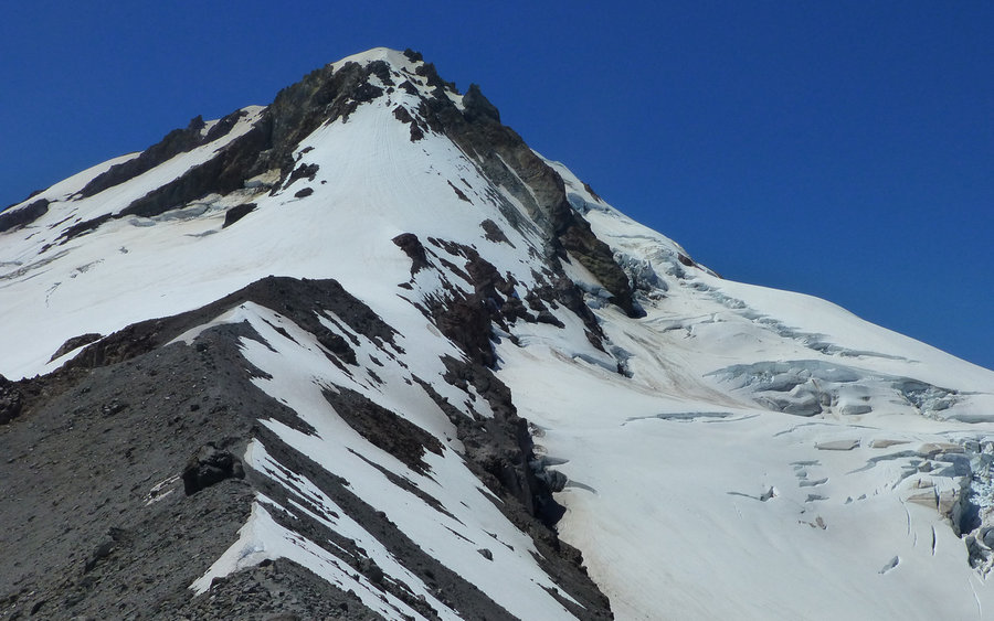
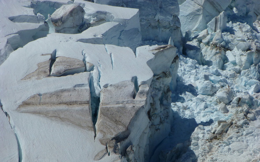
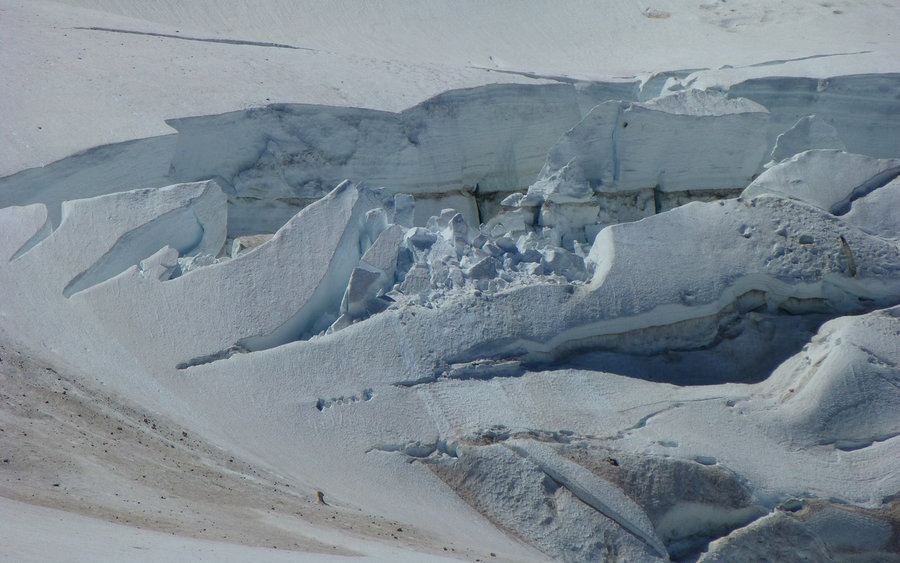
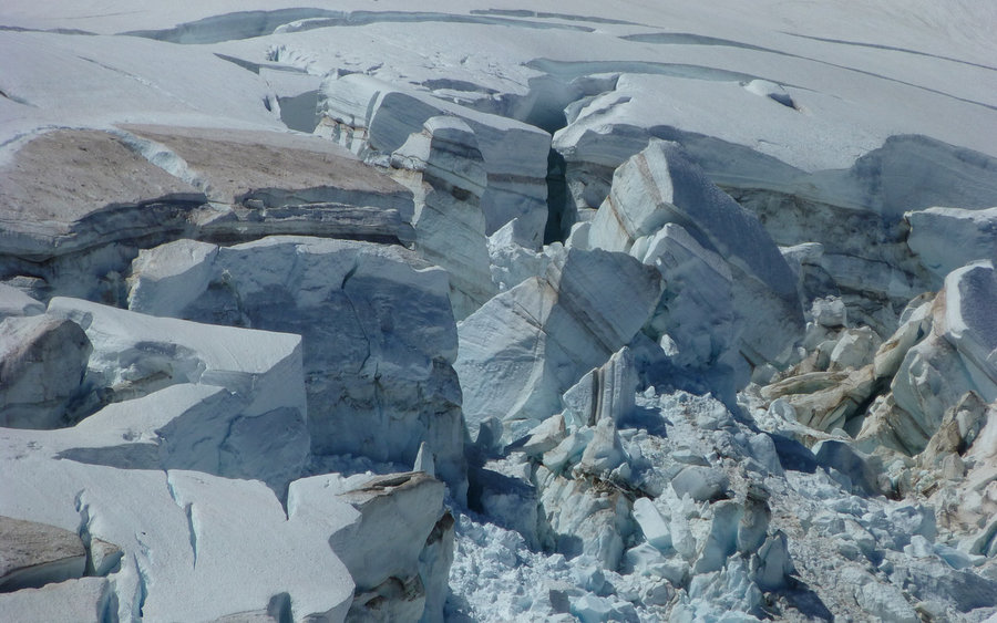
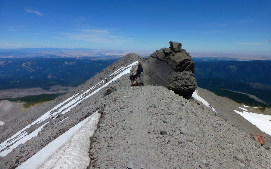
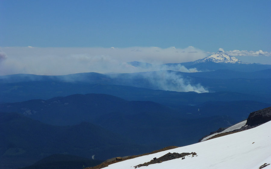
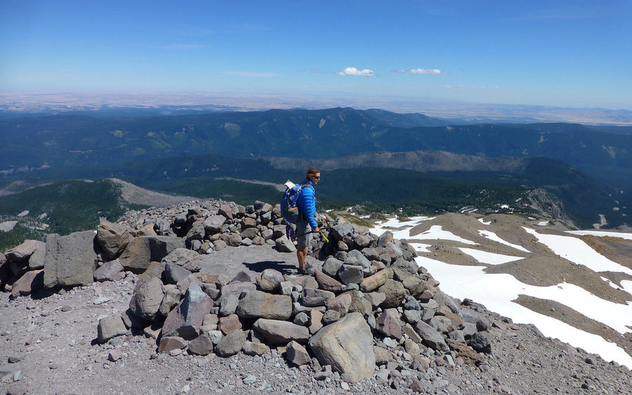
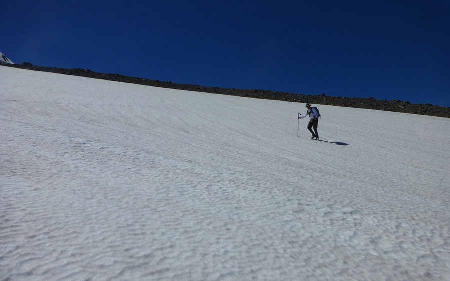
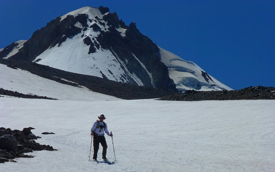
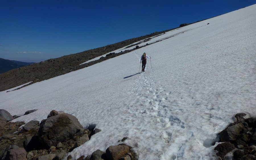
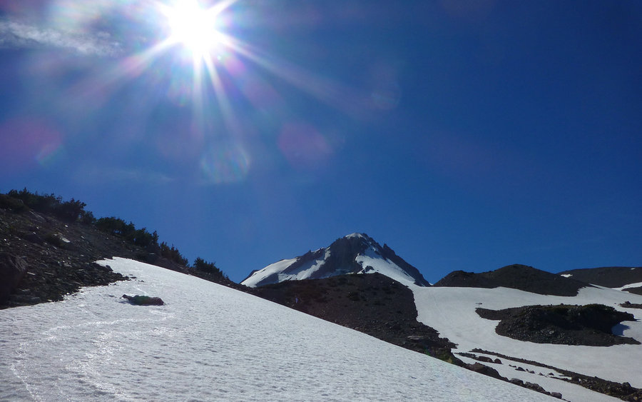
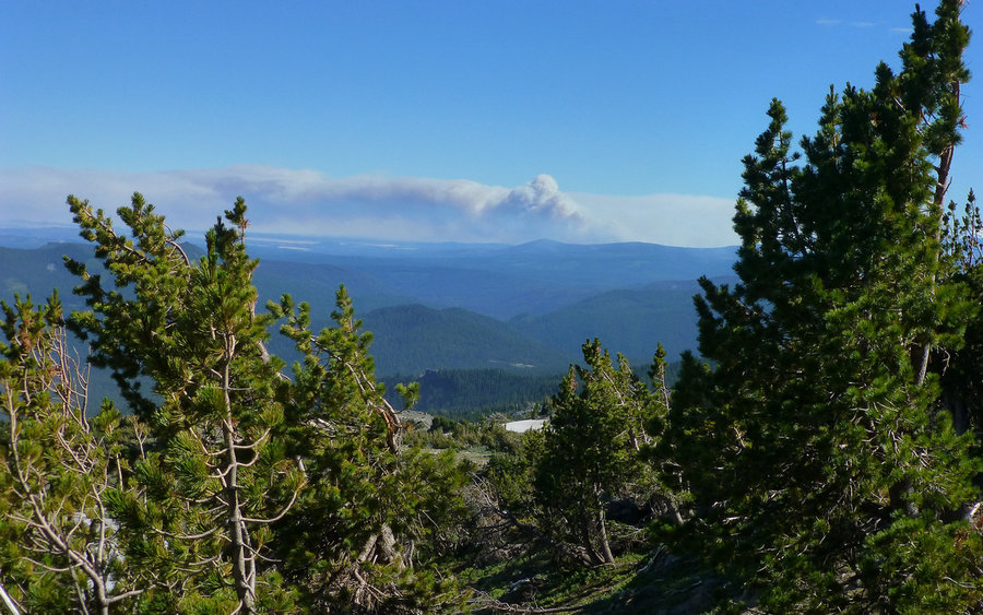
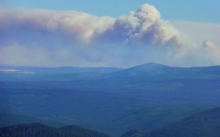
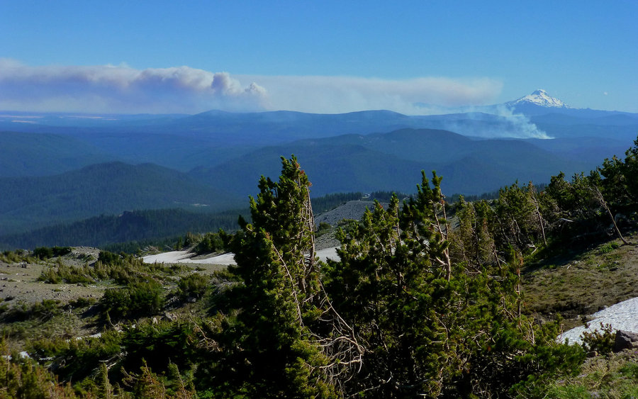
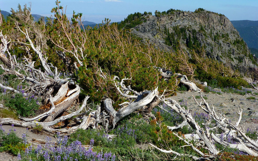
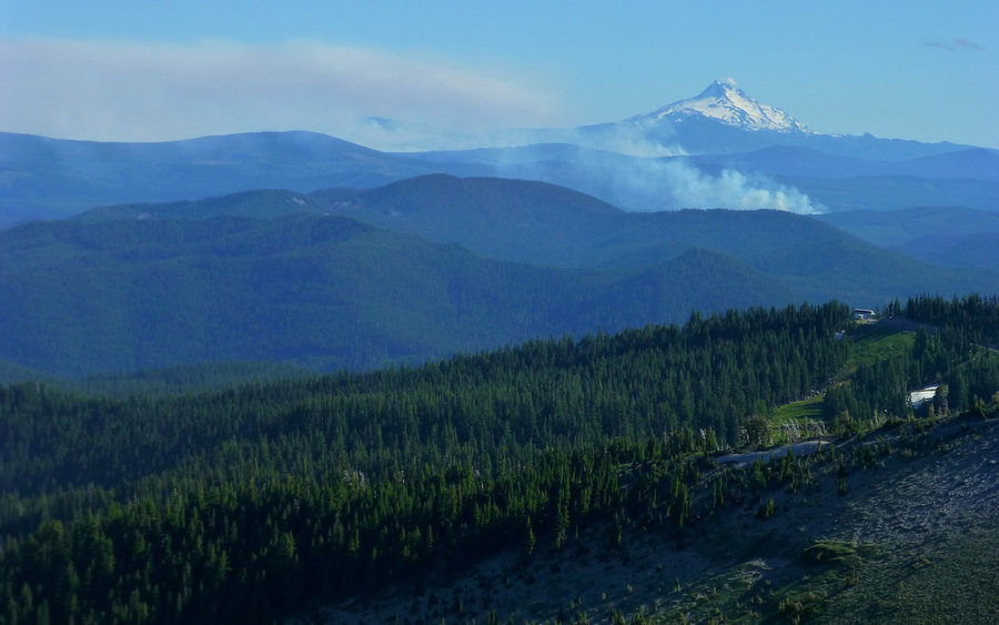
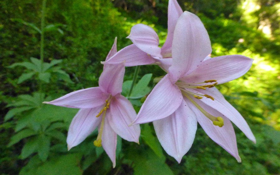
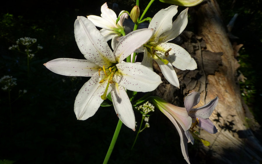
The day was crystal clear blue until we descended back below timberline on our way down towards Elk Meadows. But the gale winds up high were something nasty indeed. Sustained 20-30mph without letup, and a walloping 60-70mph on ridges and other more exposed areas. Sand-blasted and sun-burnt. Yikes! The scenery totally compensated for that, of course. The volcanoes in Washington were all out, though they clouded over earlier in the day. Looking south, we saw Oregon burning. Quite a nasty scene in the Jefferson vicinity!