

2012 Trips


Larison Rock Trail
4.8 miles of hiking • 1750' elevation gain •
Fairly strenuous climb, beautiful old-growth forest.

December 24, 2012

Maxwell Sno-Park: Mountain View Shelter Loop
6.9 miles of hiking • 750' elevation gain •
Awesome snowshoe trip!
December 12, 2012

Hardesty Trailhead to Ash Swale Shelter
11.7 miles of hiking • 1750' elevation gain •
Awesome low elevation hike. Beautiful old-growth forest for the 2 miles of the hike.
December 8, 2012

Larison Creek Trail
8.5 miles of hiking • 1750' elevation gain •
Great low elevation hike in the Cascade foothills near Oakridge.
December 3, 2012

Middle Fork Willamette Trail: Sand Praire to Pine Creek
8 miles of hiking • 250' elevation gain •
Great low elevation hike next to a beautiful river. There was a few trees down but nothing major.
December 1, 2012

Santiam Wagon Road: Mountain House to House Rock Falls
5 miles of hiking • 250' elevation gain •
Outstanding hike on an historic road. Incredible old-growth forest, a waterfall and a river, what more do you need?
November 22, 2012

Echo Basin Hike
2.2 miles of hiking • 750' elevation gain •
Short, snowy hike to check out some of the oldest, largest Alaska-cedars in Oregon.
November 15, 2012

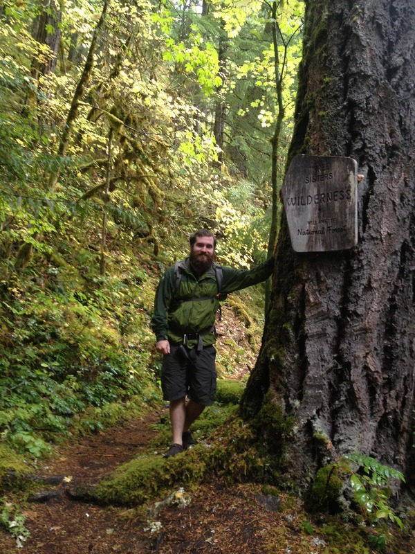
Alder Springs Trail
6.2 miles of hiking • 750' elevation gain •
Great short hike near Sisters in a Wilderness Study Area.
November 1, 2012

Benson Lake and Hand Lake Loop
8.4 miles of hiking • 1000' elevation gain •
This was a cold, cold rainy day at 5,000 feet. Beautiful hike, lot's of standing water on trail after heavy rain.
October 25, 2012

French Pete Trail
5 miles of hiking • 1000' elevation gain •
Beautiful old-growth creek hike in the Cascade foothills.
October 17, 2012

Mount Yoran Via Divide Lake
1 miles of hiking • 1000' elevation gain • 1 night
Great high elevation hike. Incredible vistas of Diamond Peak.
October 11 – October 12, 2012

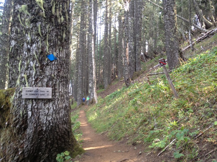
Mary's Peak: East Ridge Trail
6.17 miles of hiking • 2000' elevation gain •
Beautiful vista of the Willamette Valley and Coast Range mountains. Also an impressive stand of old-growth Noble fir.
September 28, 2012

Birthday Summit of Mount Thielsen
10 miles of hiking • 3750' elevation gain • 1 night
Absolutely incredible hike. The last 40 feet or so is fairly dangerous, but it can be done if you know what you're doing, without ropes.
September 18 – September 19, 2012

Barefooting Up Black Butte
4 miles of hiking • 1750' elevation gain •
Classic, short summit hike close to town. Beautiful views on a clear day.
September 16, 2012

Backpacking Redwood Creek
16.4 miles of hiking • 500' elevation gain • 1 night
This hike can only be done during the summer or year-round if rain hasn't been falling very much. It's the only 'back country' camping allowed in Redwood State/National Parks. It's a breathtaking, easy hike.
September 14 – September 15, 2012

September 9, 2012

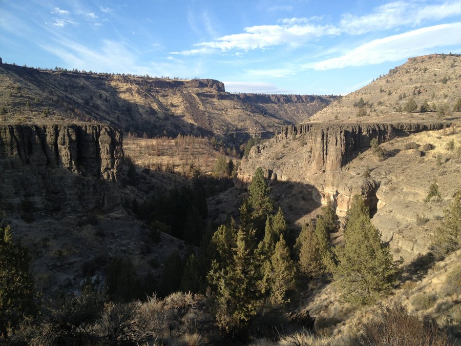
Gearhart Mountain Wilderness Traverse
26 miles of hiking • 2000' elevation gain • 2 nights
If you want seclusion and incredible views this is the place for you.
August 8 – August 10, 2012

Iron Mountain and Cone Peak
7.1 miles of hiking • 1750' elevation gain •
Hike here mid-week during wildflower season.
July 31, 2012

McQuade Creek Trail: Gateway to the Middle Santiam Wilderness
16 miles of hiking • 5000' elevation gain • 2 nights
Beautiful and little used area.
July 15 – July 17, 2012

Pat Saddle to Dillion Lake
1 miles of hiking • 1000' elevation gain • 1 night
Great hike in the little used western half of the Three Sisters Wilderness.
July 5 – July 6, 2012

Rebel Rock Loop
12.3 miles of hiking • 3250' elevation gain •
Another beautiful hike in the western Three Sisters Wilderness.
June 23, 2012

View trips from: 2012