

2012 Trips


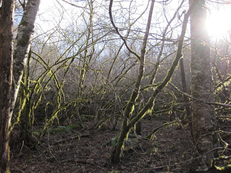
Wahkeena Falls to Lemmon's Viewpoint
1.7 miles of hiking • 750' elevation gain •
Just an easy hike with my mom. 20th hike this year, meeting my New Year's resolution just in the nick of time :)

December 28, 2012

 1
1
Falls Creek Falls
8 miles of hiking • 1000' elevation gain •
http://www.portlandhikers.org/forum/viewtopic.php?f=8&t=13917
November 23, 2012


Burnt Lake
6.5 miles of hiking • 1250' elevation gain •
We were supposed to go to East Zigzag but ran into more snow than we were prepared for and turned around at Burnt Lake.
October 21, 2012

Mt. Defiance
12 miles of hiking • 5000' elevation gain •
What a ball buster! Went up the Starvation route, trailhead to summit in 4 hours. Came down the Defiance trail.
October 7, 2012

September 30, 2012


September 1, 2012


Wahkeena Falls to (Almost) Devil's Rest
6.5 miles of hiking • 2000' elevation gain •
I went as far as the rock lookout/viewpoint and turned back.
April 28, 2012

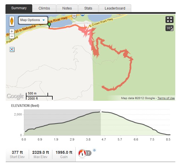
Dog Mountain (Augspurger Mountain attempt)
8 miles of hiking • 2750' elevation gain •
We tried to do Augspurger but the trail was too hard to follow so we turned back and did the Dog Mountain loop. There was a mean wind on the open trail, chips of ice and tiny hail were like razors on my face. Generally though, no rain or snow, and at the end there was some nice sun.
March 18, 2012


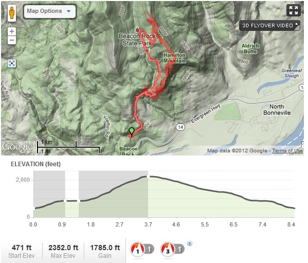
Hamilton Mountain
8 miles of hiking • 2000' elevation gain •
Slightly rainy hike, some snow at the top. We did the loop.
March 10, 2012

.jpg) 1
1
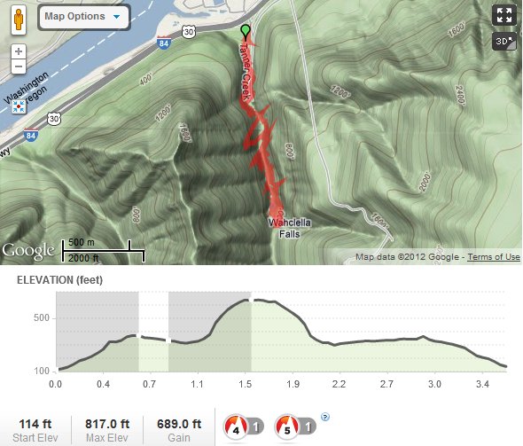
Wahclella & Upper McCord Creek Falls
5.5 miles of hiking • 1000' elevation gain •
Nice, easy hikes. Beautiful falls. It way rainy but not too muddy. Tried out a new GPS app, the EG seems too high.
February 26, 2012


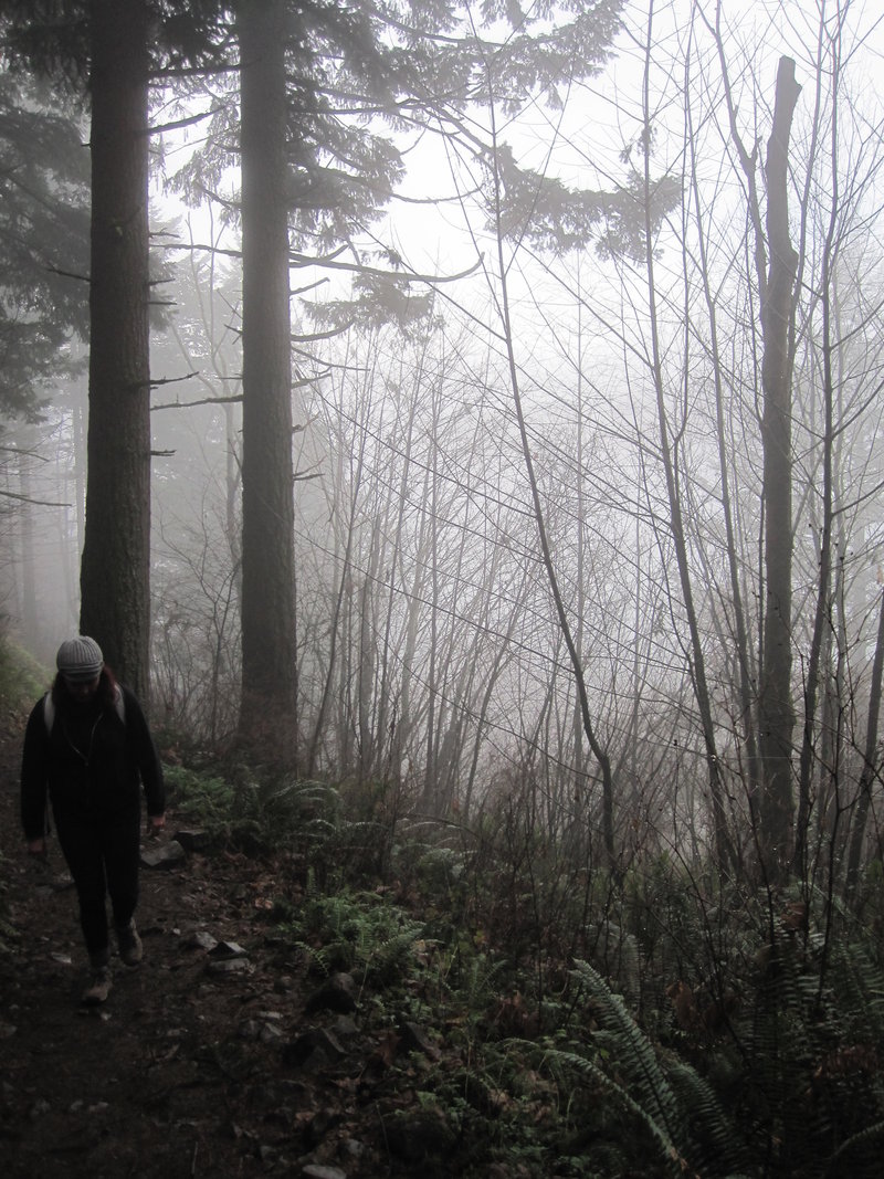
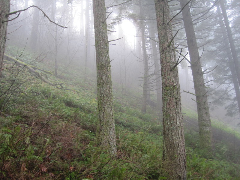
Angel's Rest and Beyond
6.5 miles of hiking • 1500' elevation gain •
Stuck a 10 lb plate in my pack for conditioning and saw how close to Devil's Rest I could get in 2 hours. The 3.4 miles down took 1h 20m. There was some sun, overall a nice hike.
February 11, 2012

.jpg)

 1
1
Eagle Creek to Twister Falls
12.5 miles of hiking • 1500' elevation gain •
It was icy and wet. But wow, what a spectacular hike!
January 14, 2012

Angel's Rest
4.5 miles of hiking • 1500' elevation gain •
My go-to hike in the gorge :) It was misty most of the way, cleared up when we got to Angel's Rest. Lots of traffic, which made for lots of muddy patches.
January 7, 2012

View trips from: 2012