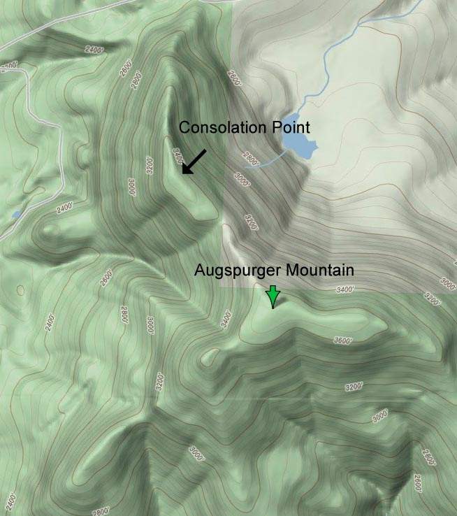
Map
Join the community
Log in
Welcome Back!
No Account?
Email
*
Password
*
Forgot password?
« Back to Augspurger Mountain and Dog (redux)
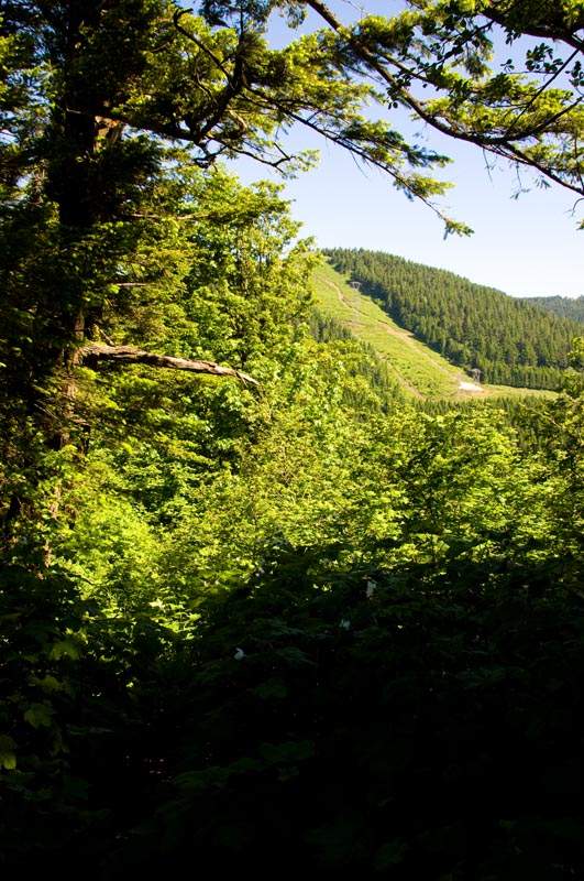
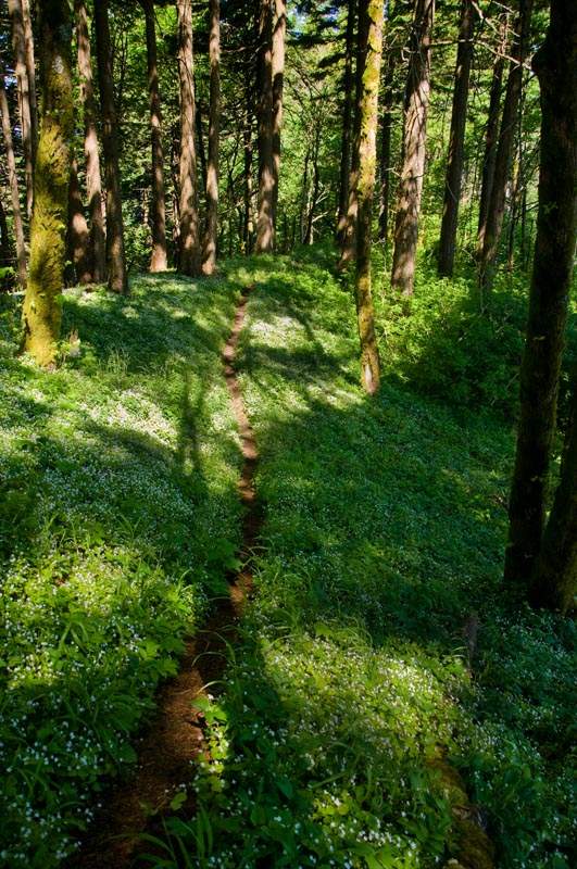
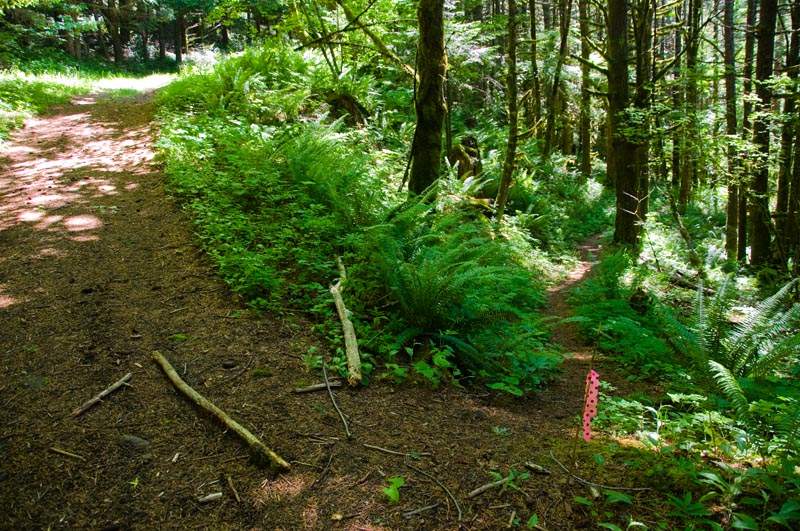
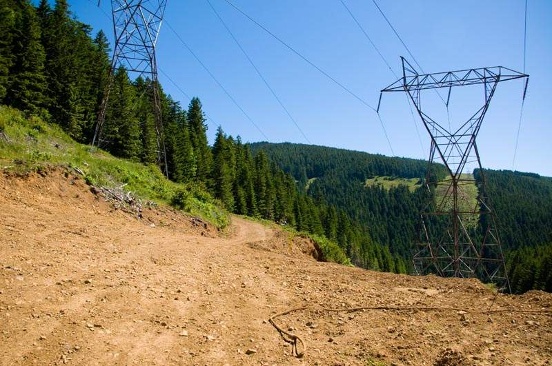
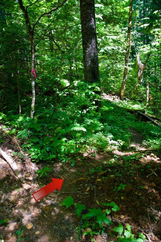
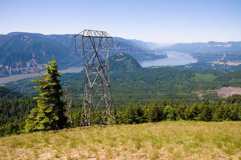
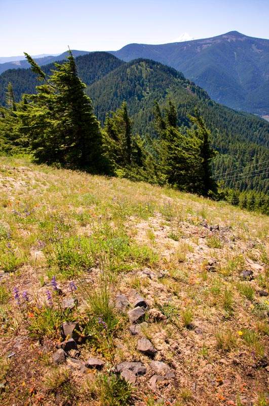
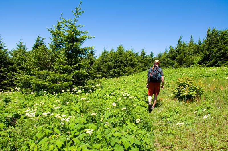
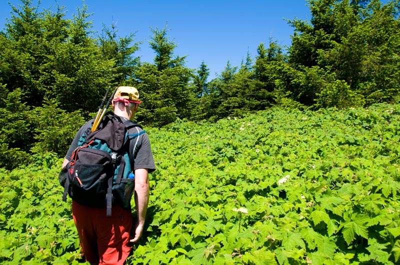
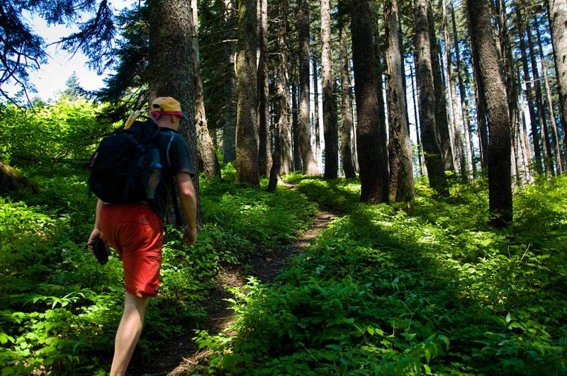
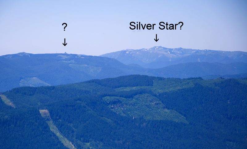
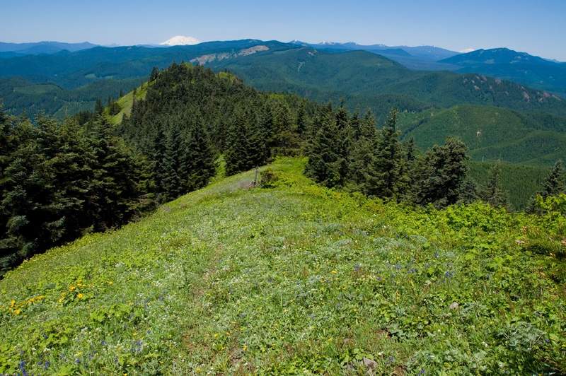
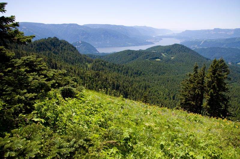
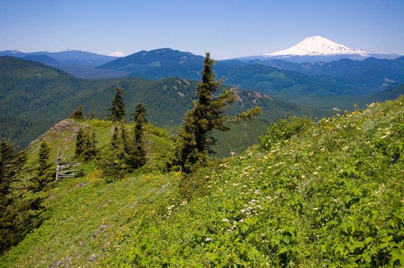
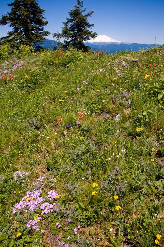
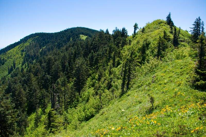
Photos from “Augspurger Mountain and Dog (redux)”