Map
Join the community
Log in
Welcome Back!
No Account?
Email
*
Password
*
Forgot password?
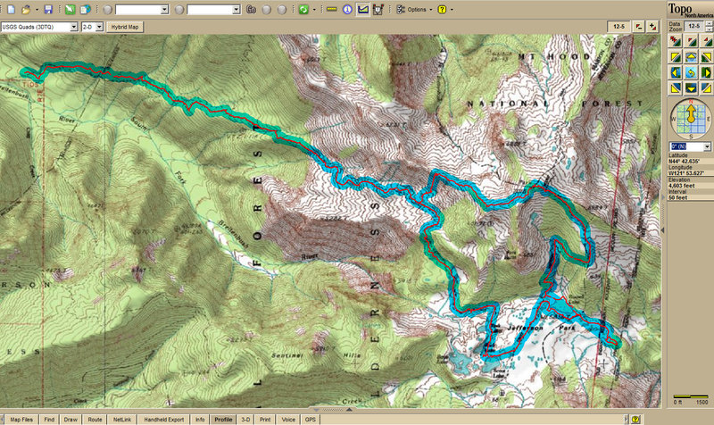
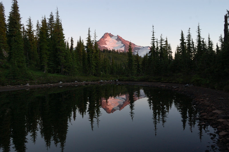
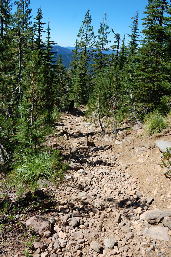
« Back to Jefferson Park/Park Ridge via S Breitenbrush
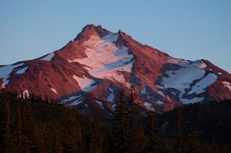
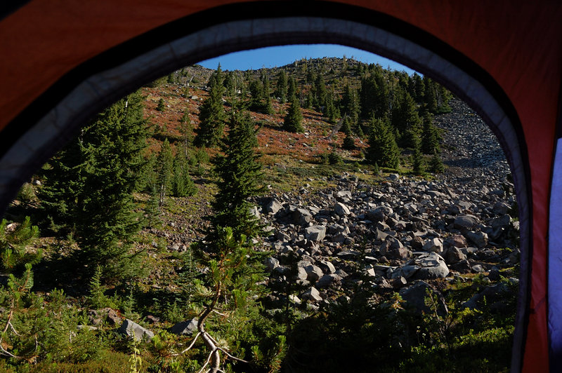
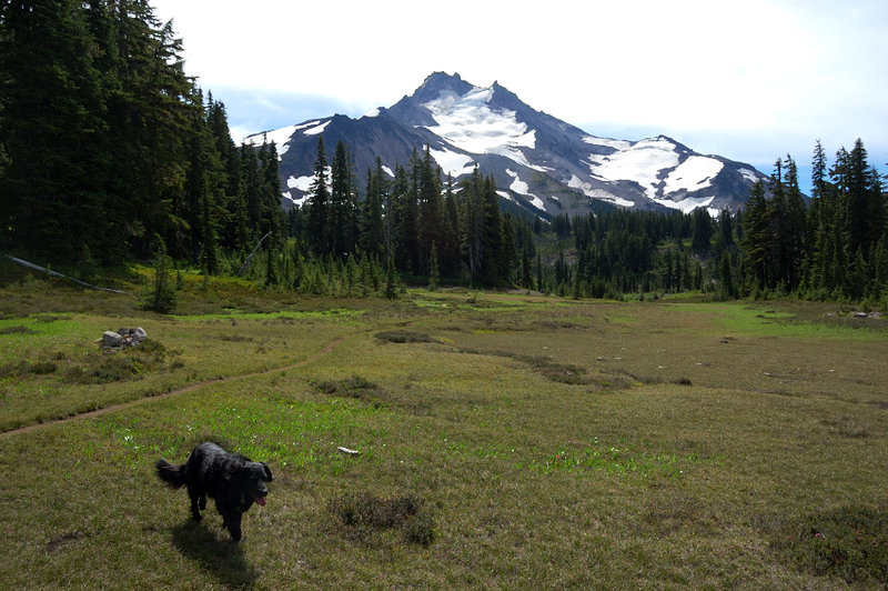
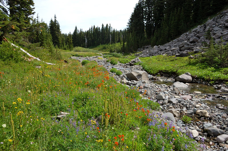
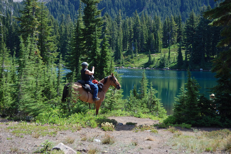
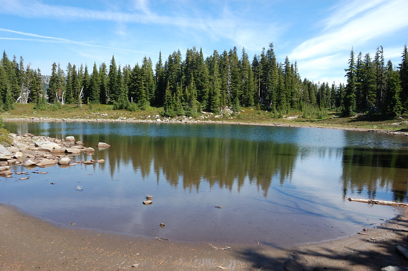
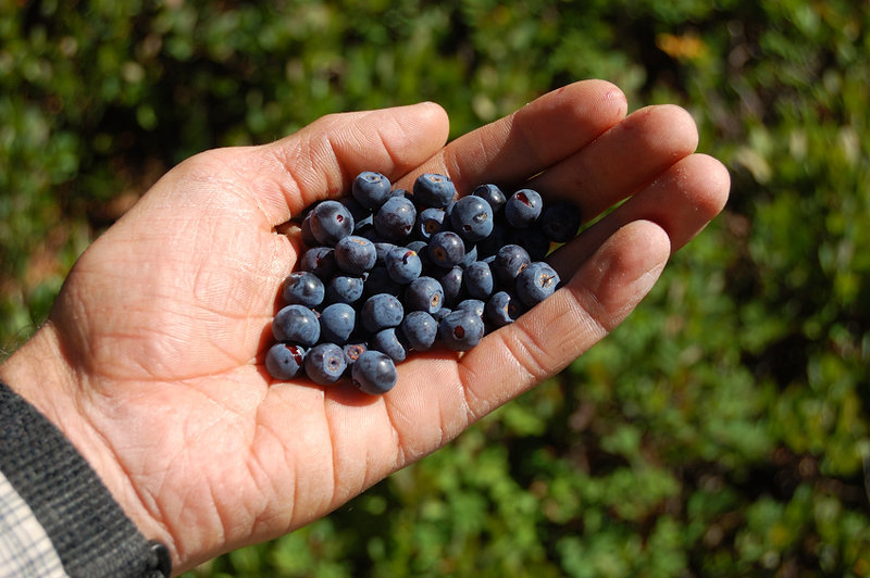
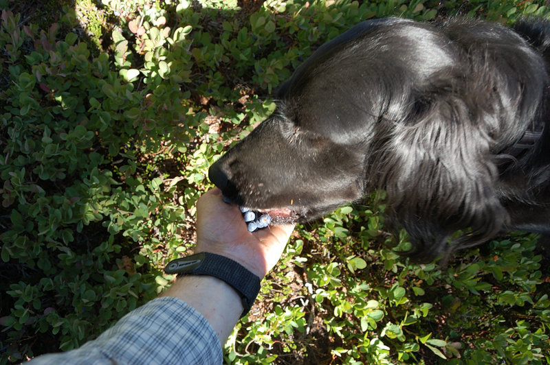
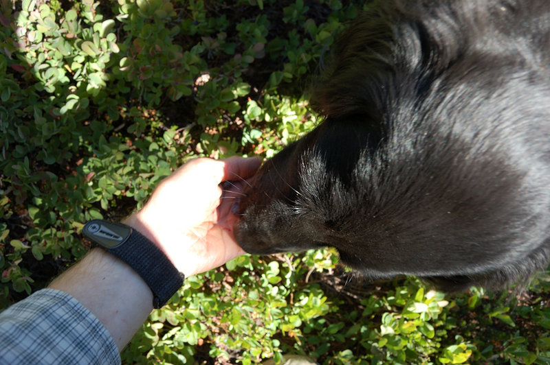
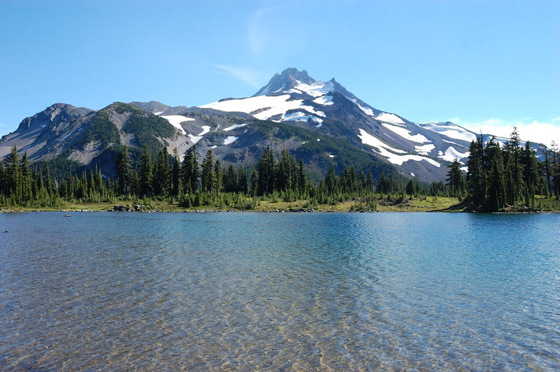
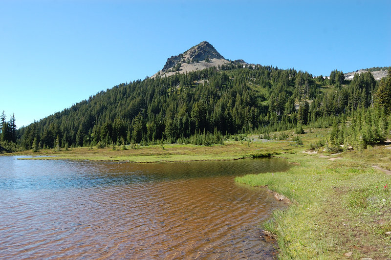
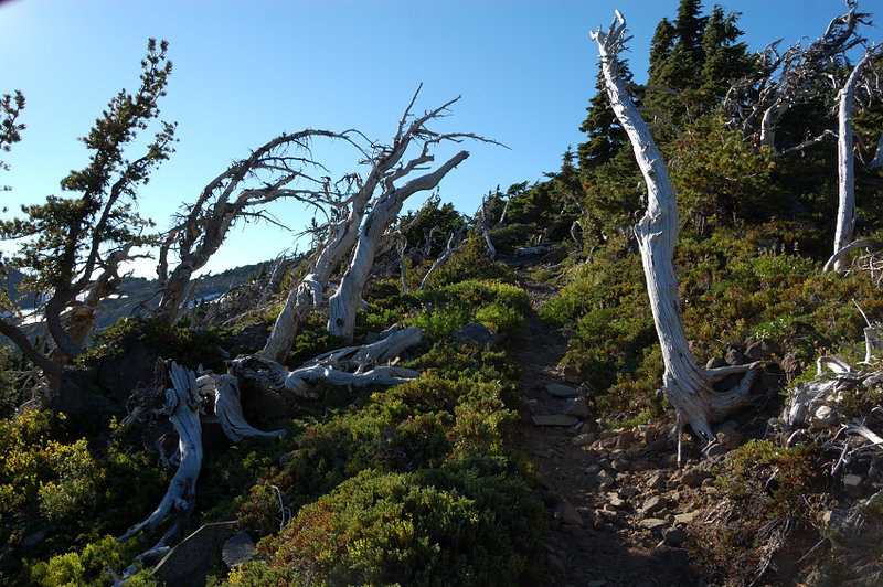
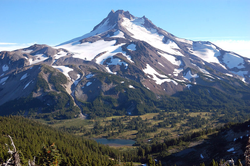
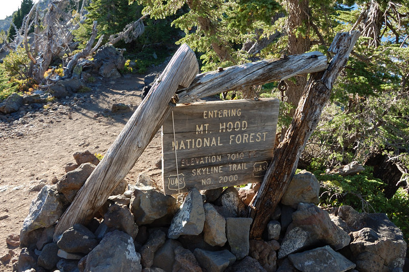
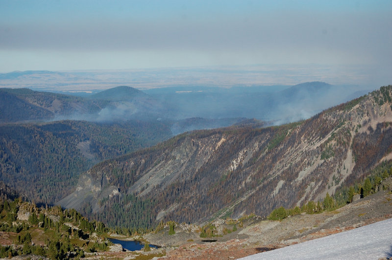
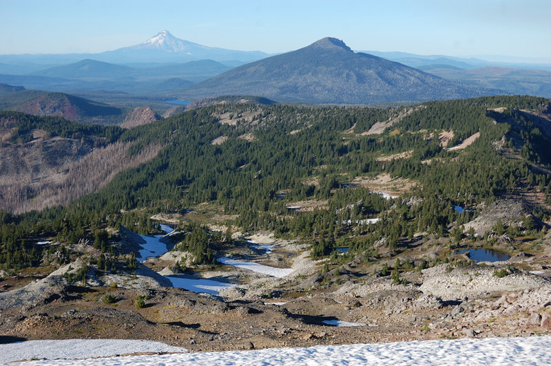
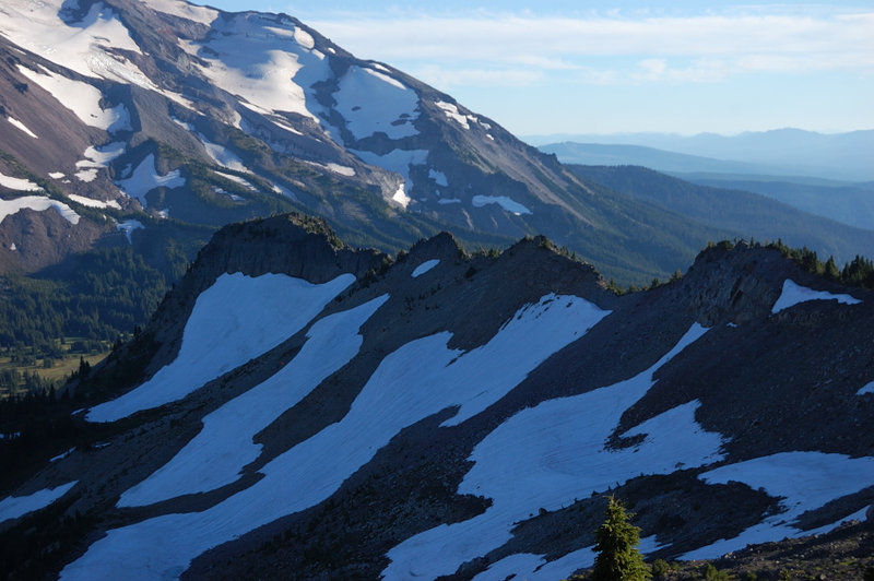
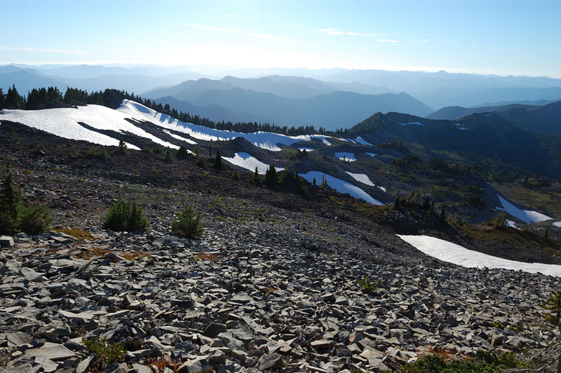
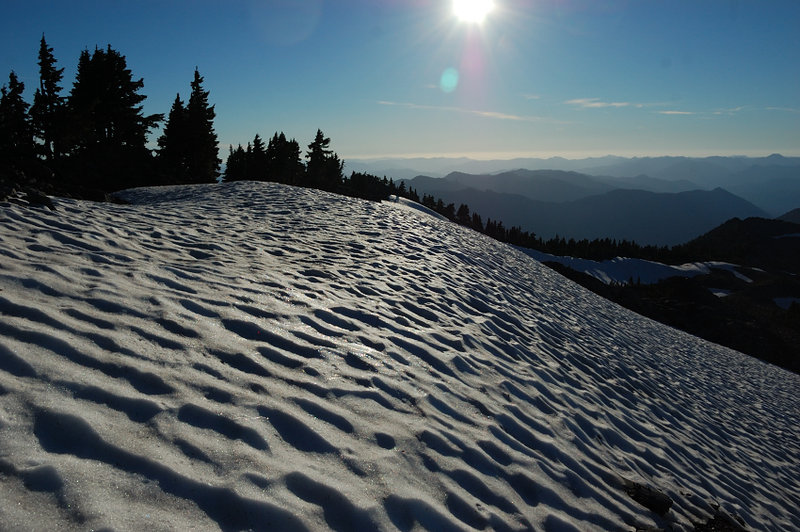
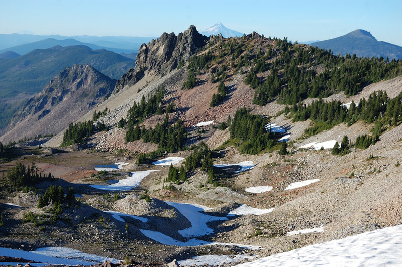
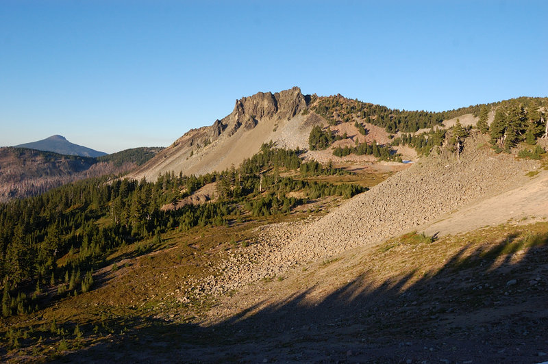
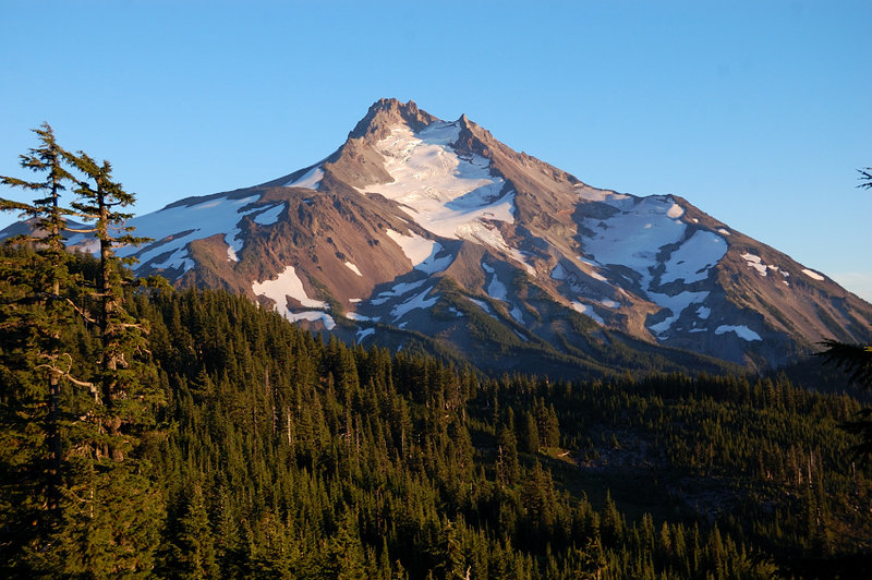
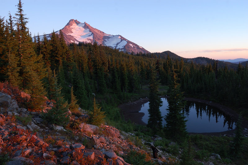
Photos from “Jefferson Park/Park Ridge via S Breitenbrush”