Map
Join the community
Log in
Welcome Back!
No Account?
Email
*
Password
*
Forgot password?
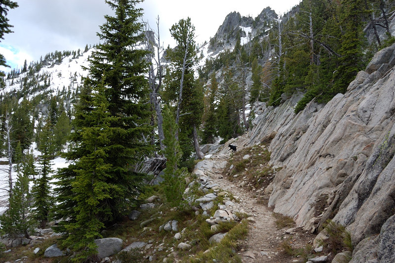
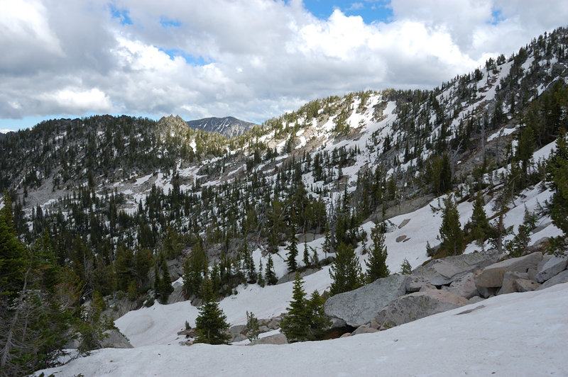
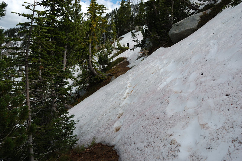
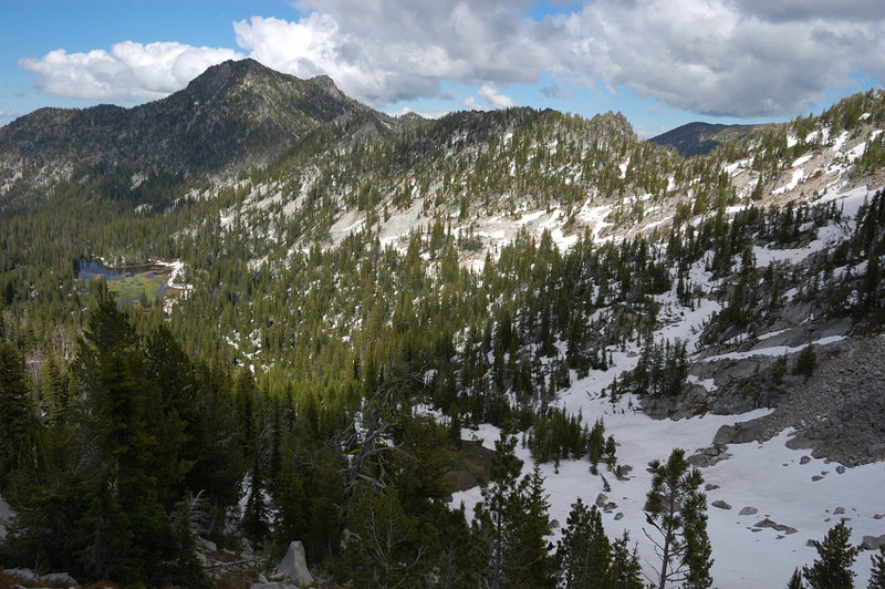
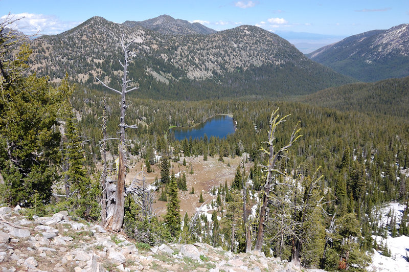
« Back to Elkhorn Crest Trail: north 1/3 plus 3 lakes
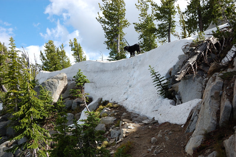
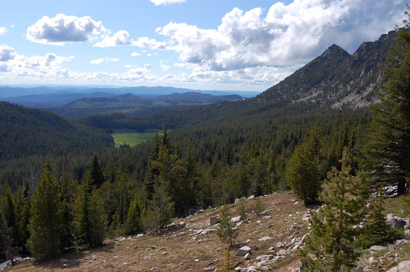
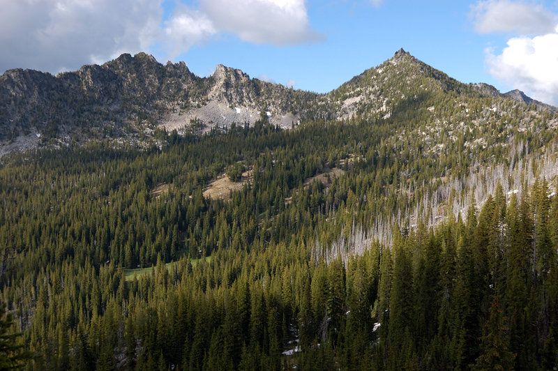
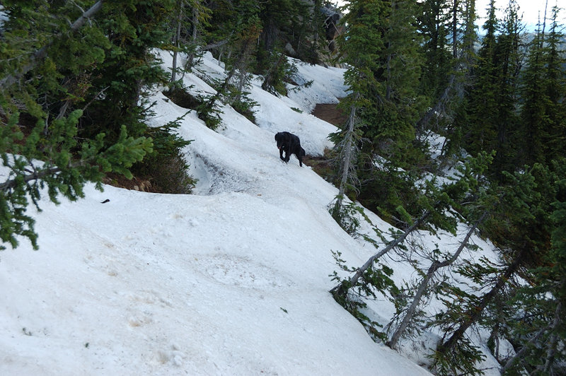
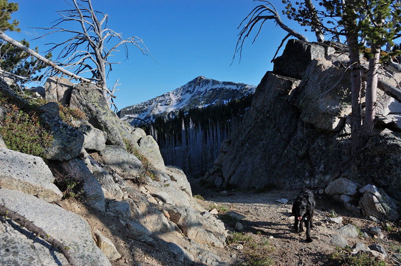
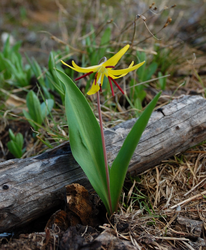
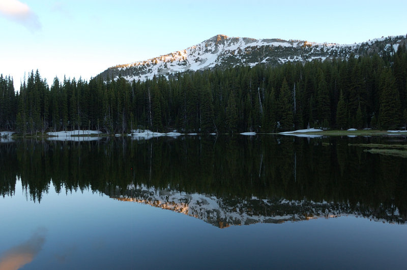
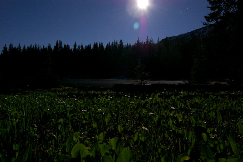
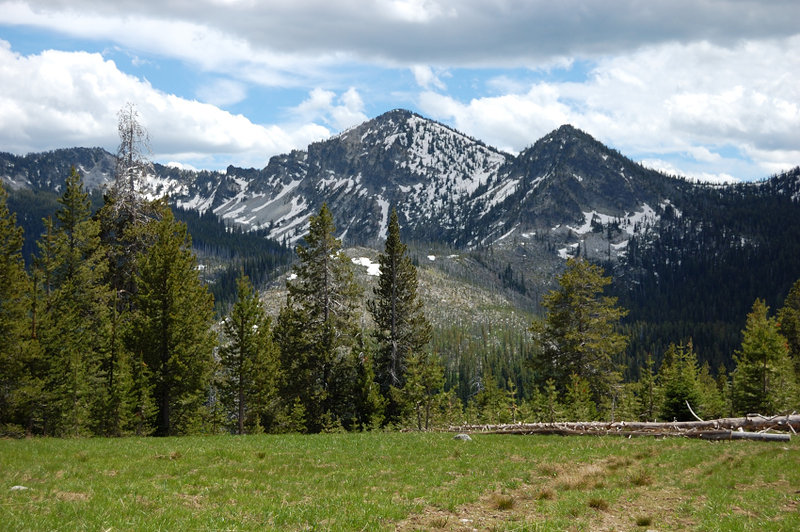
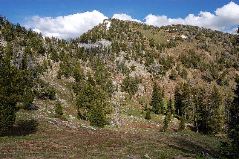
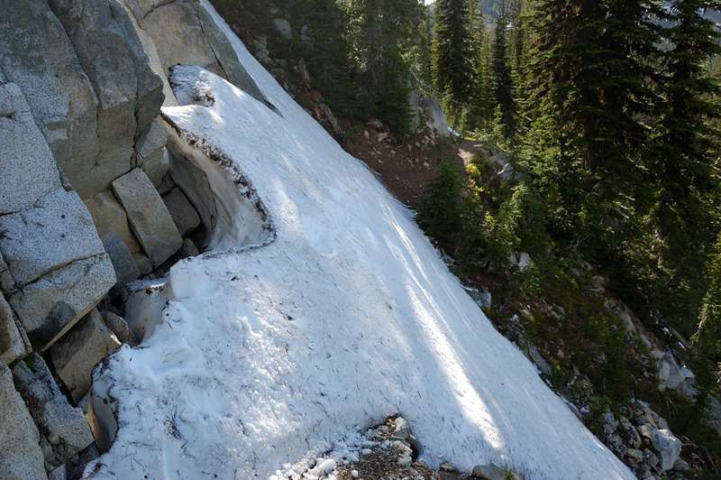
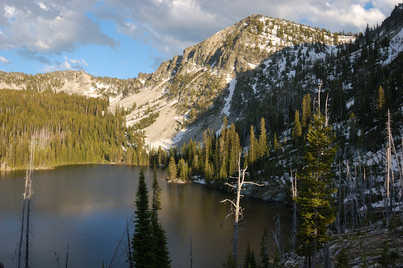
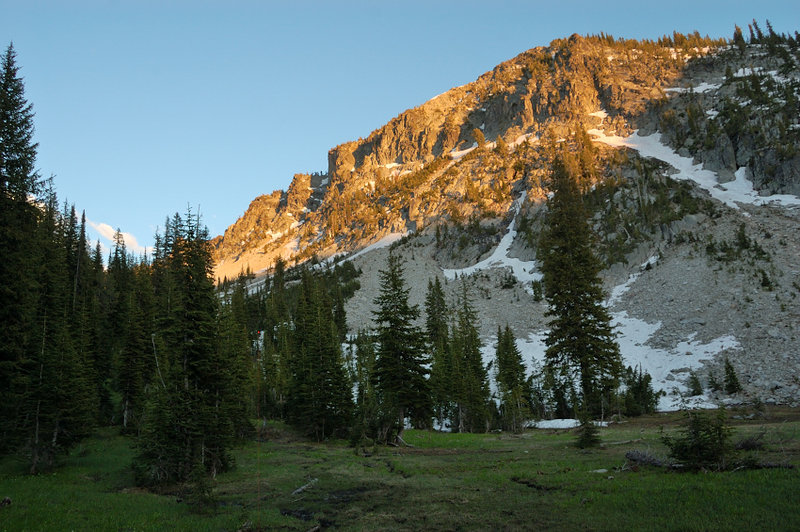
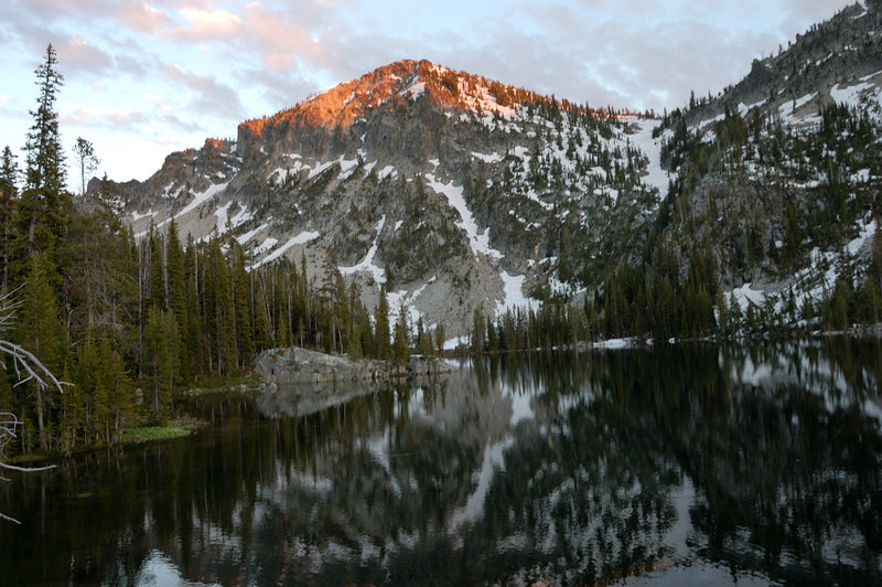
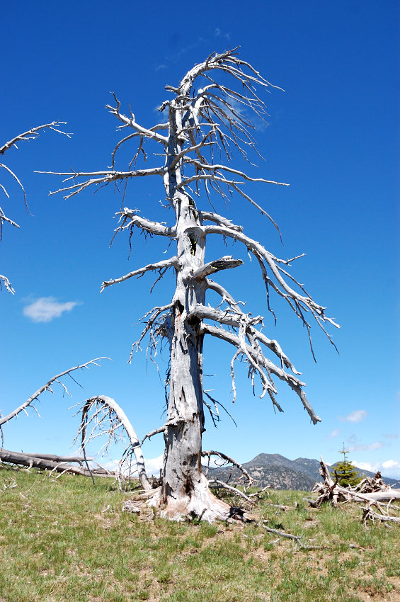
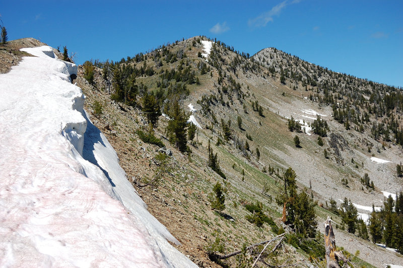
Photos from “Elkhorn Crest Trail: north 1/3 plus 3 lakes”