Map
Join the community
Log in
Welcome Back!
No Account?
Email
*
Password
*
Forgot password?
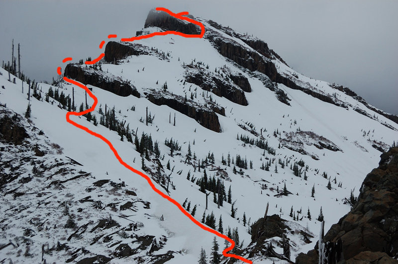
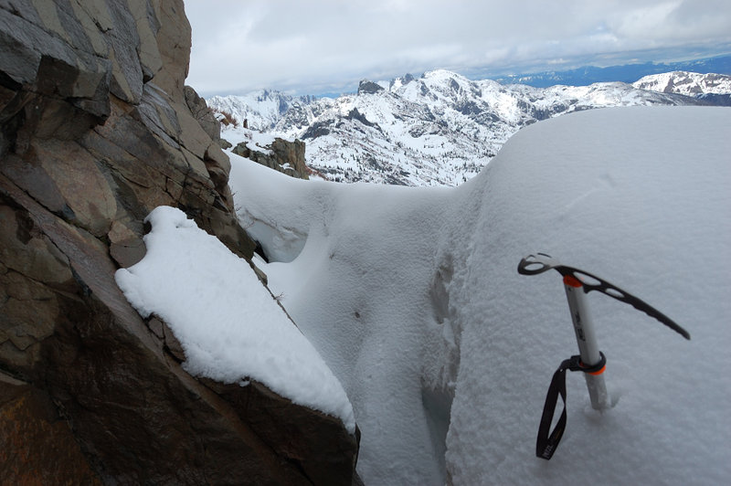
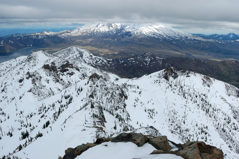
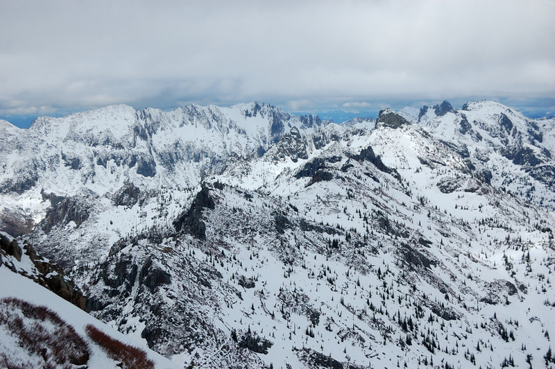
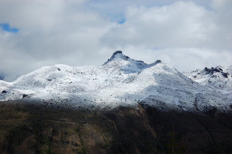
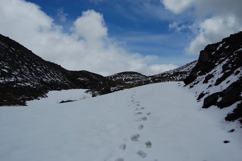
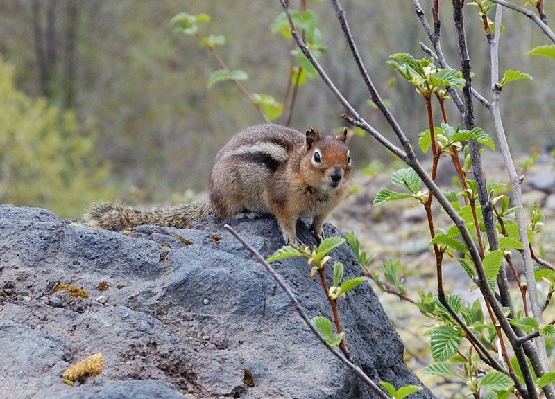
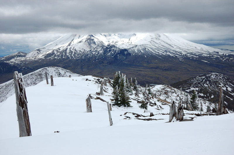
« Back to Coldwater Peak - did it!
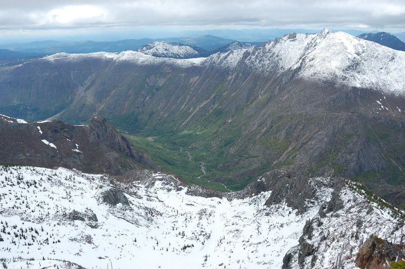
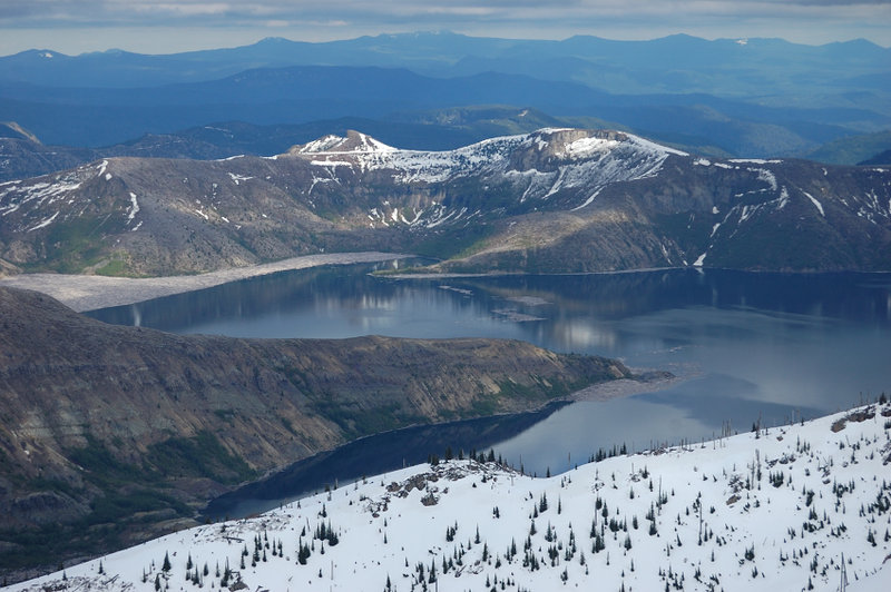
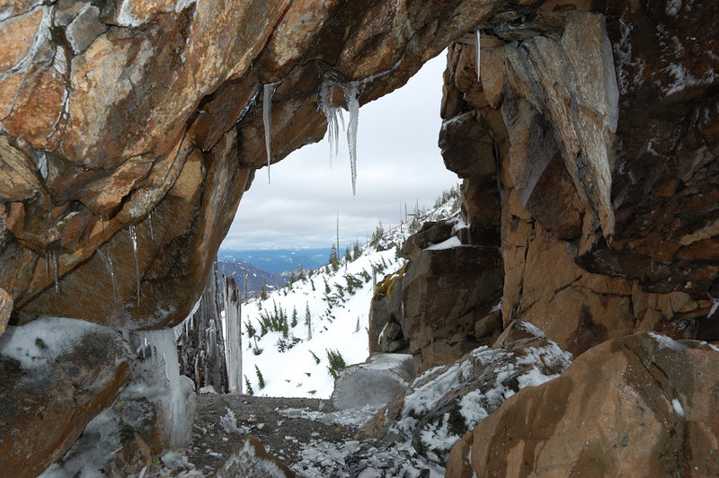
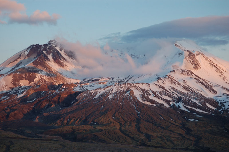
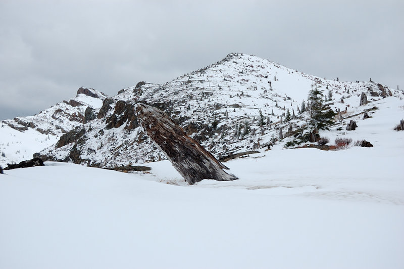
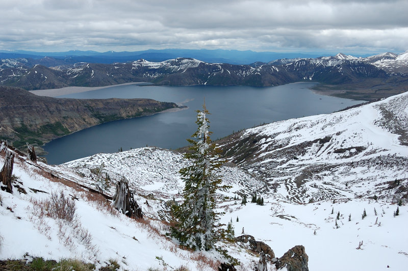
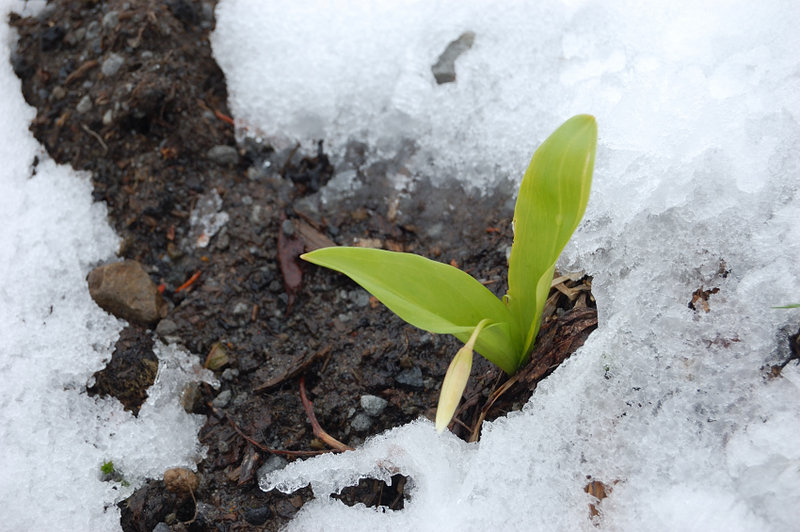
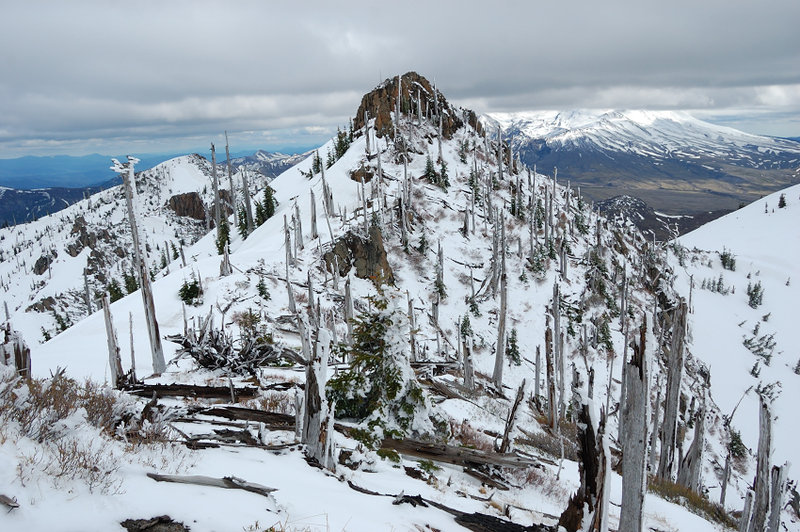
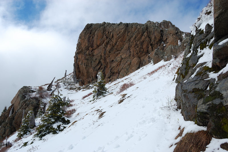
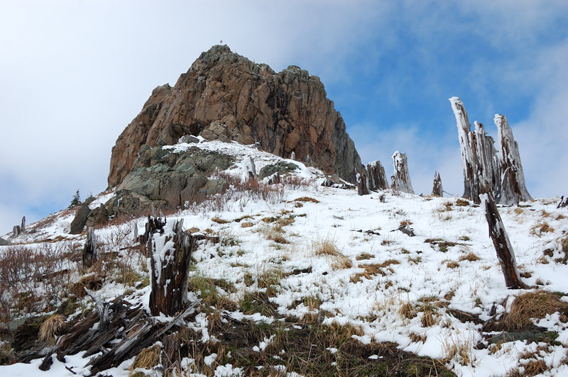
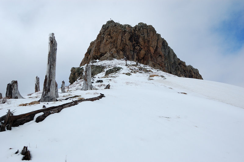
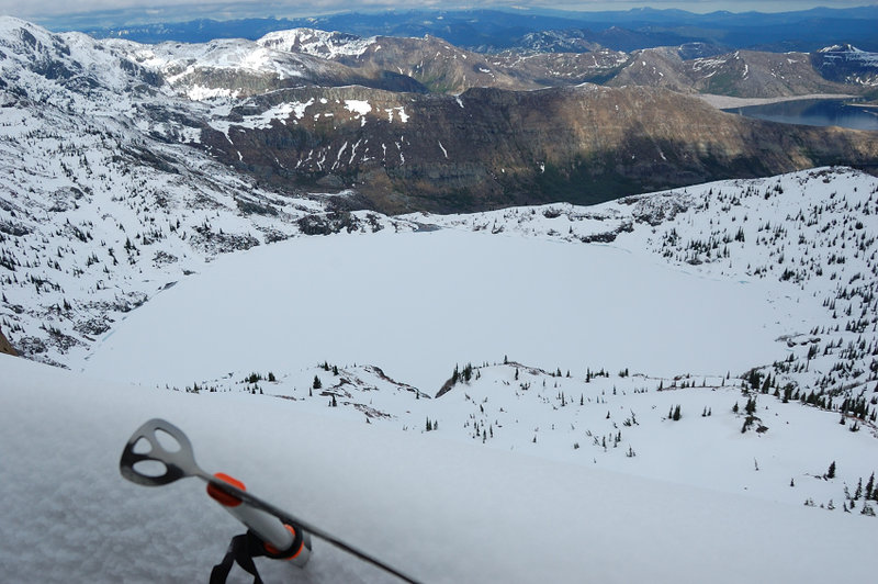
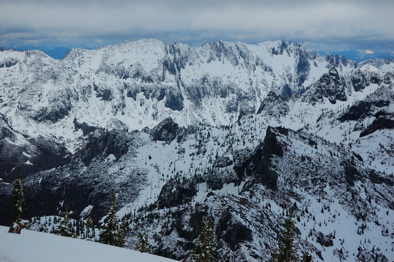
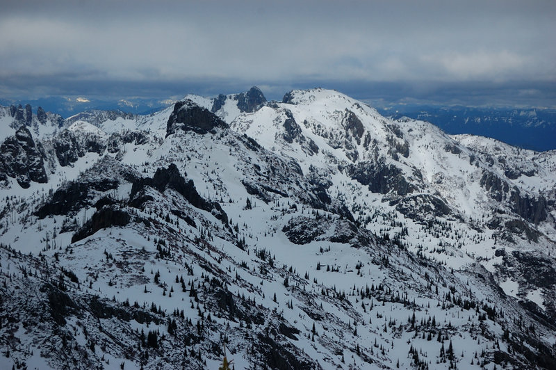
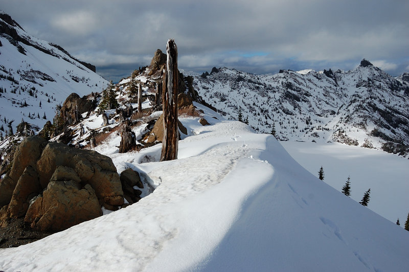
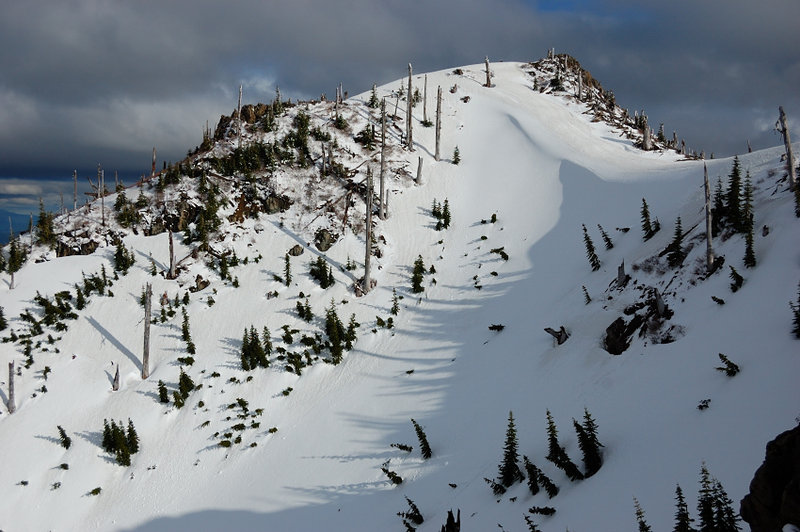
Photos from “Coldwater Peak - did it!”