Map
Join the community
Log in
Welcome Back!
No Account?
Email
*
Password
*
Forgot password?
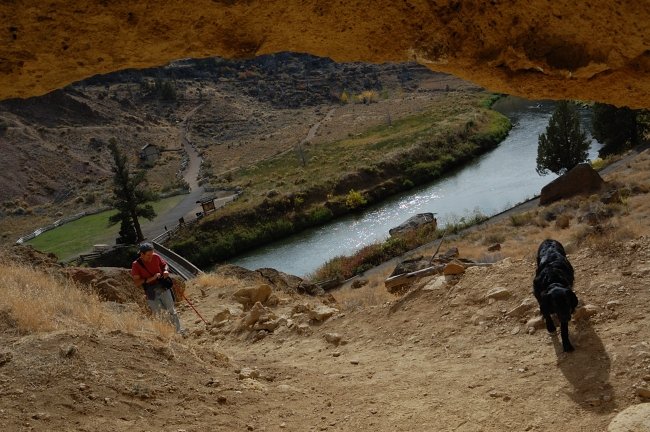
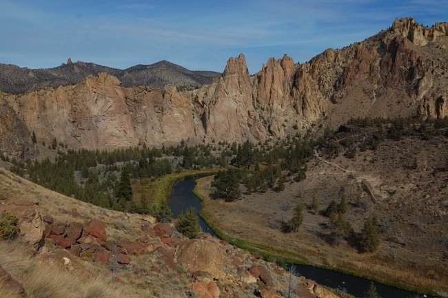
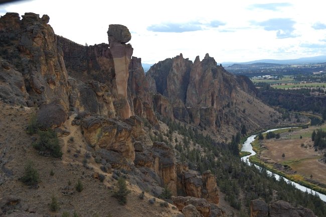
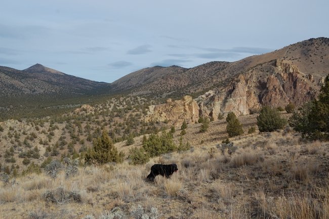
« Back to Smith Rocks and "Point 4230"
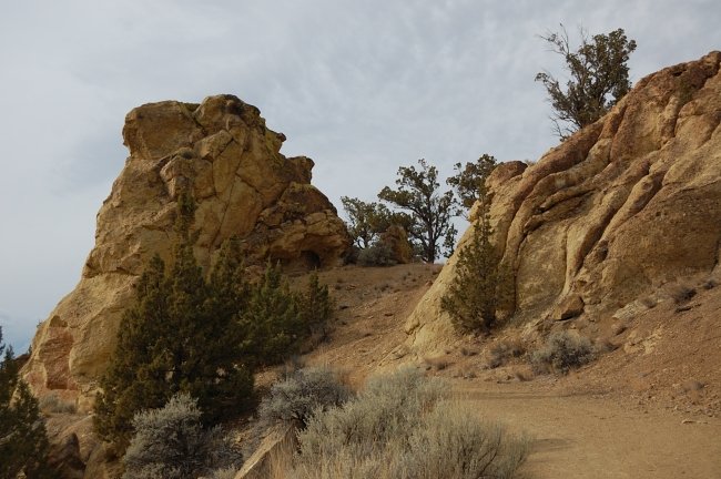
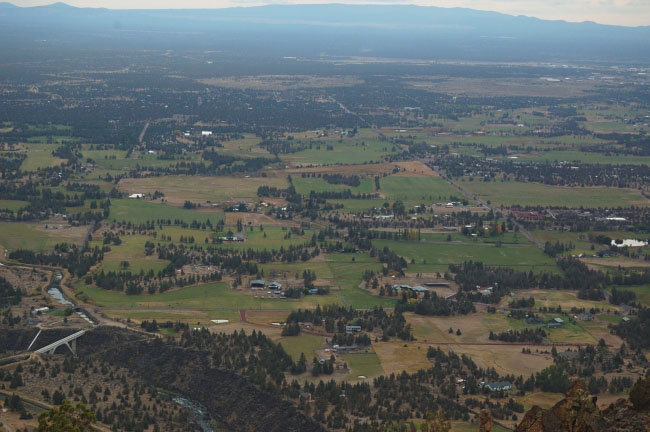
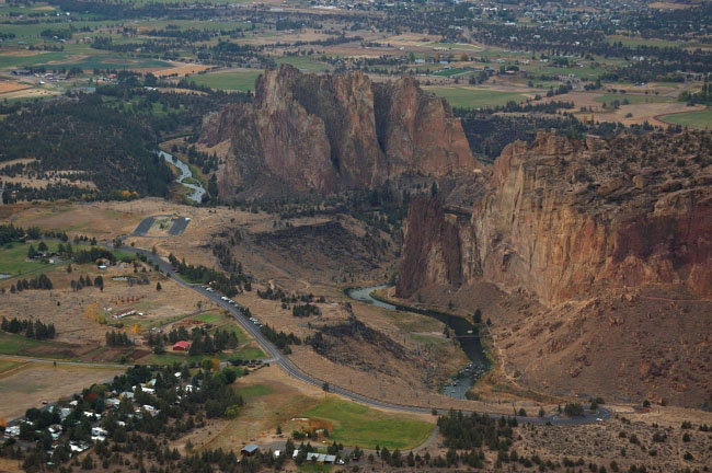
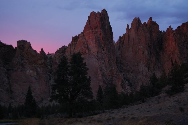
Photos from “Smith Rocks and "Point 4230"”