

2014 Trips


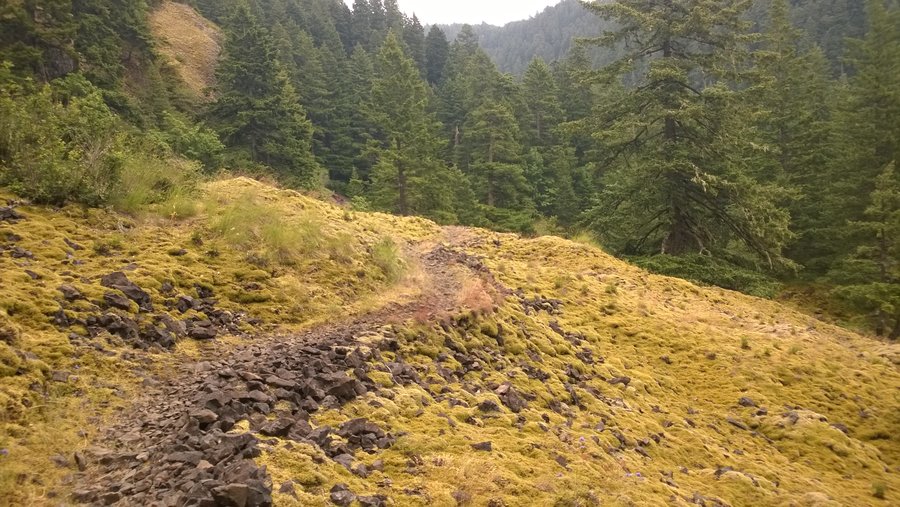
Around Mt. Rainier on the Wonderland Trail
97 miles of hiking • 23000' elevation gain • 9 nights

September 28 – October 7, 2014
 1
1
September 19 – September 21, 2014

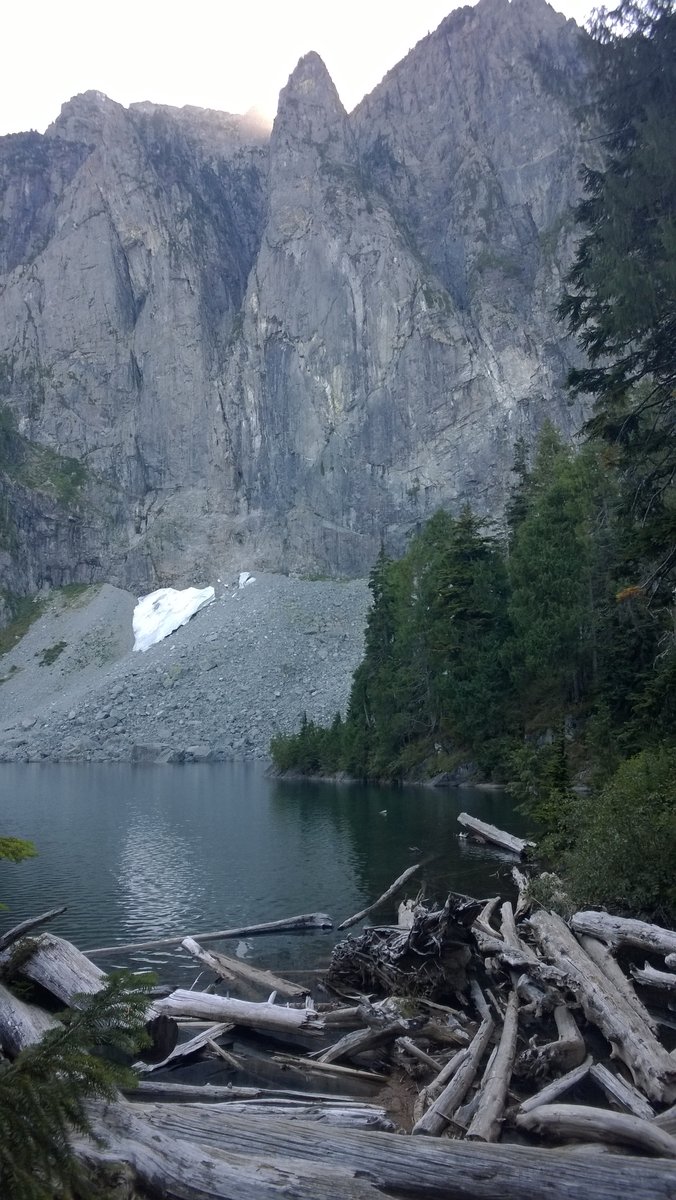
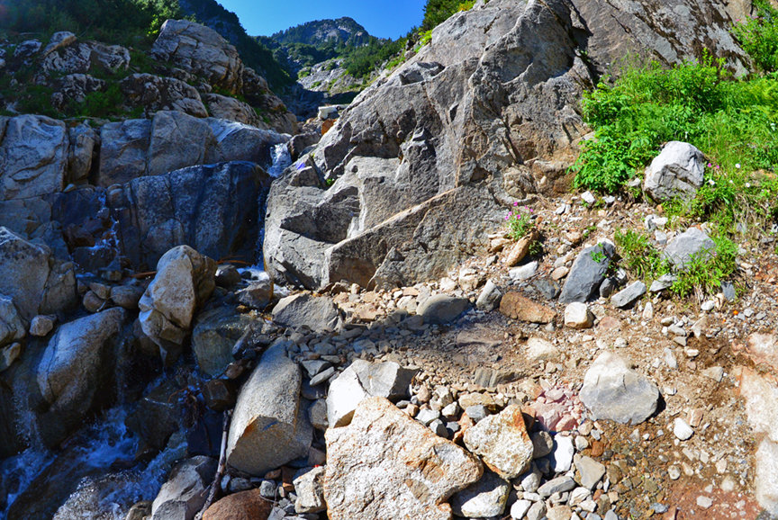
Lake Serene
7.5 miles of hiking • 2000' elevation gain •
Short dayhike to test out some new shoes. This was one of my first hikes when I first moved to the PNW, and I've gotten much more capable since. I remember being completely overwhelmed the first time a few years ago, ha! Still a good climb, though. Less dirt and more rocks than I recall. Lake was totally melted out, but Lunch Rock was in the shade at 2:40 when we arrived.
September 14, 2014

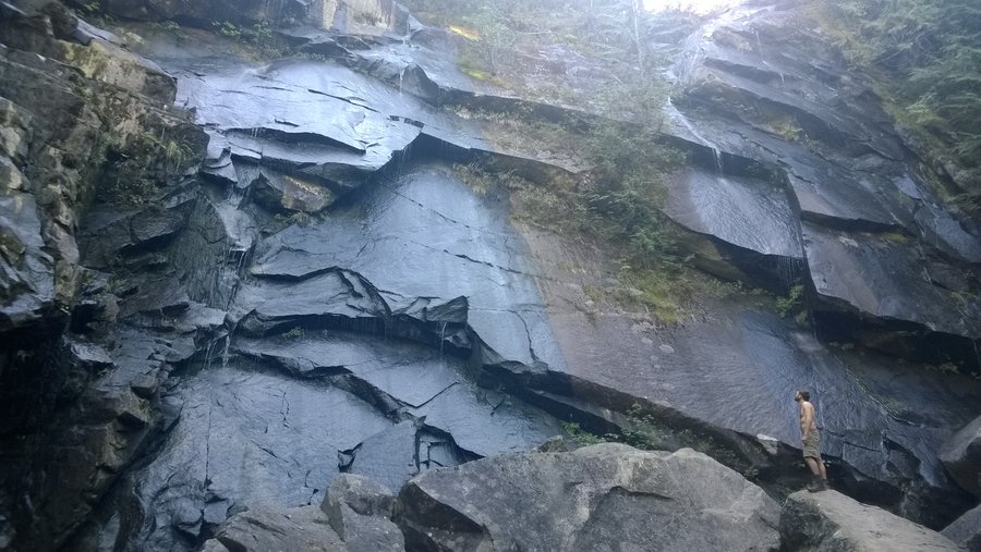
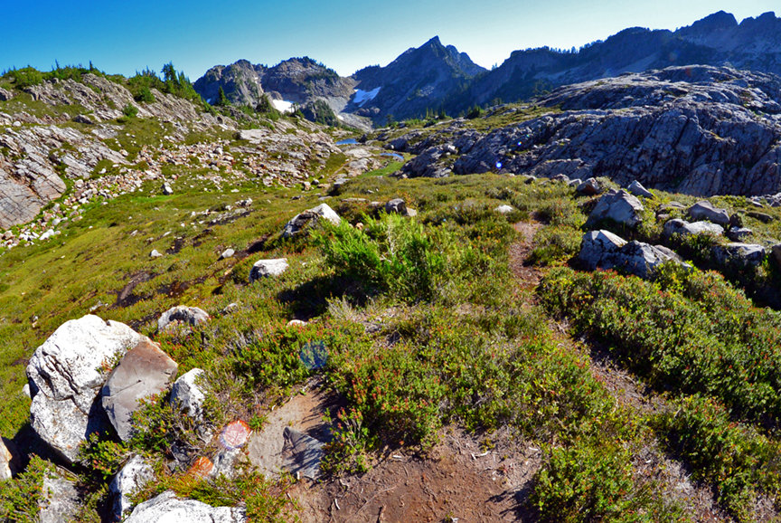
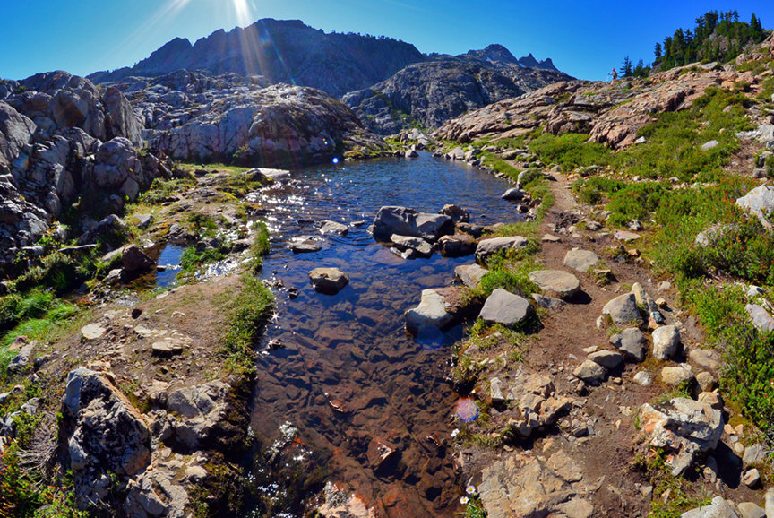
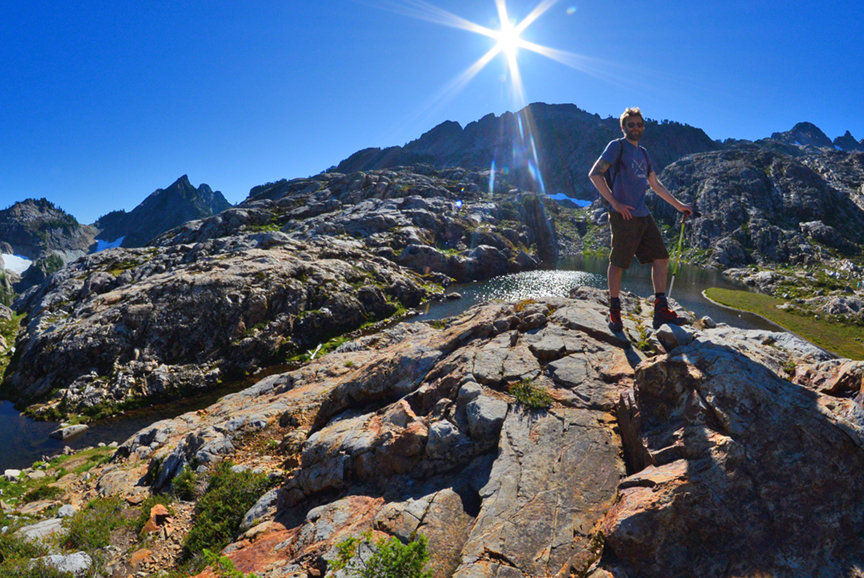
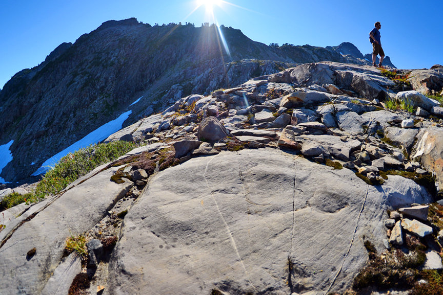
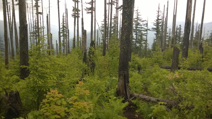
Gothic Basin Dayhike
12 miles of hiking • 2750' elevation gain •
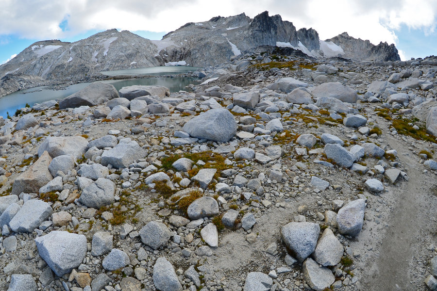
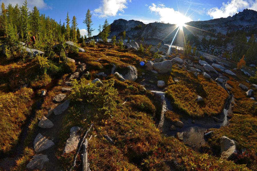
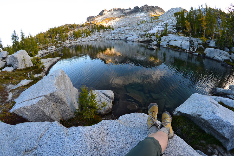
Started late, around 1pm. Done by 7:45. Quite a workout! Just wanted to get some outdoors time during the weekend, and we sure got it. After walking down the gravel road and making it to the trailhead the hike wanders around for a mile or so before starting in earnest. The first half is under the trees on mostly soft dirt. There are multiple switchbacks, some hilariously short, others shockingly long and unfathomably steep (40 degrees?!?). After one or two little creek crossings the rock scramble starts. The second half of the trail is basically making your way over and around huge hunks of granite. I question whether or not I needed a hiking pole. I brought it, but would have preferred to just use my hands. It's hard to stop on the trail for a snack, since it's all pretty steep and narrow. We were relieved the finally get into the glorious basin. I heard it was gorgeous, but what a stunner. All the snow was melted out, and the basin was hypercolor green with lush grass and moss — all dotted with granite. Fantastic scrambling and exploring opportunities on the grippy granite. We were there during golden hour and just couldn't get enough of the colors and atmosphere. Very calm by the lower tarn, much windier at the upper lake. We saw tons of people going down when we headed up, and by the time we were in the basin, we only had to share it with 3 other small groups/pairs. We saw plenty of people coming down with camping gear, but I'd be hard-pressed to identify more than 4 good sites for a tent. The way down was fast, and we made it out before it got dark. A+ dayhike. Fantastic!
September 7, 2014


Wallowa Whitman Lakes Basin and Eagle Cap
36.5 miles of hiking • 0' elevation gain • 2 nights
August 30 – September 1, 2014

All Around Waptus Lake, Alpine Lakes Wilderness
39.5 miles of hiking • 0' elevation gain • 2 nights
August 8 – August 10, 2014

Seven Lakes Basin and the High Divide
22.5 miles of hiking • 4250' elevation gain • 2 nights
July 12 – July 14, 2014

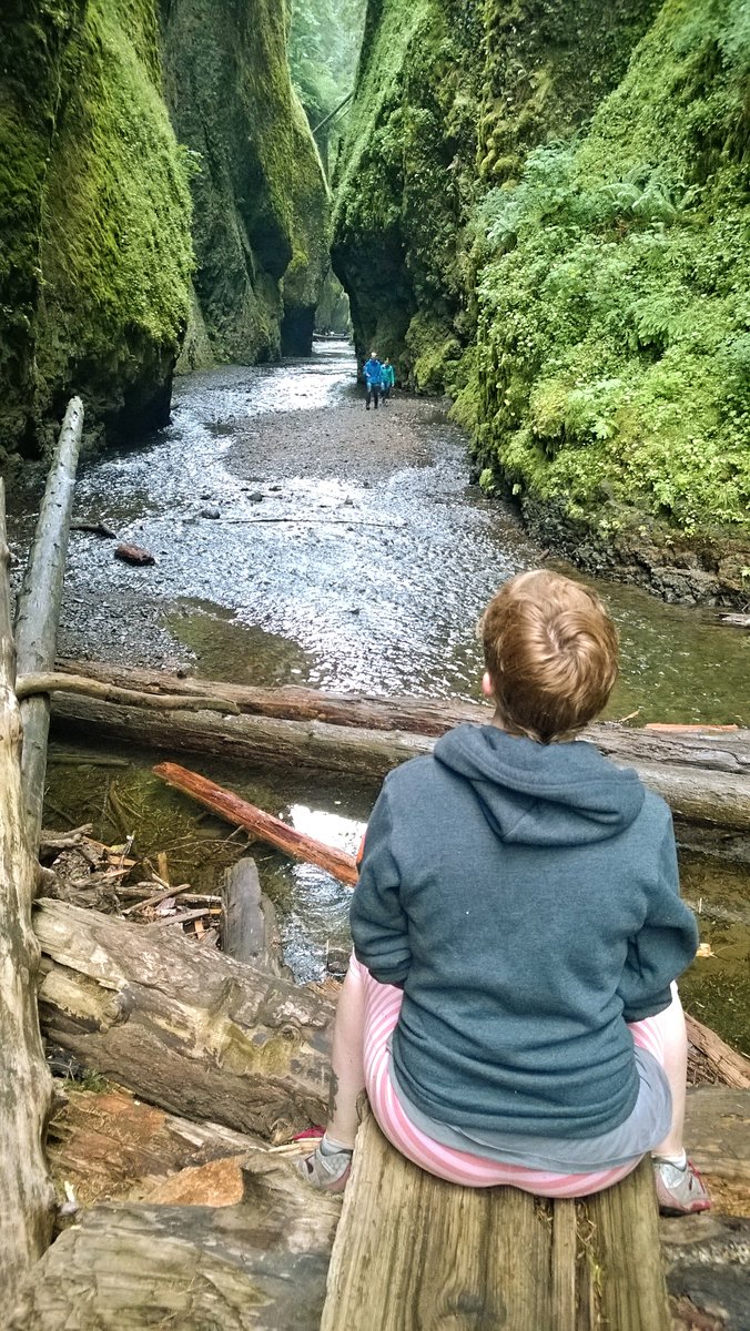
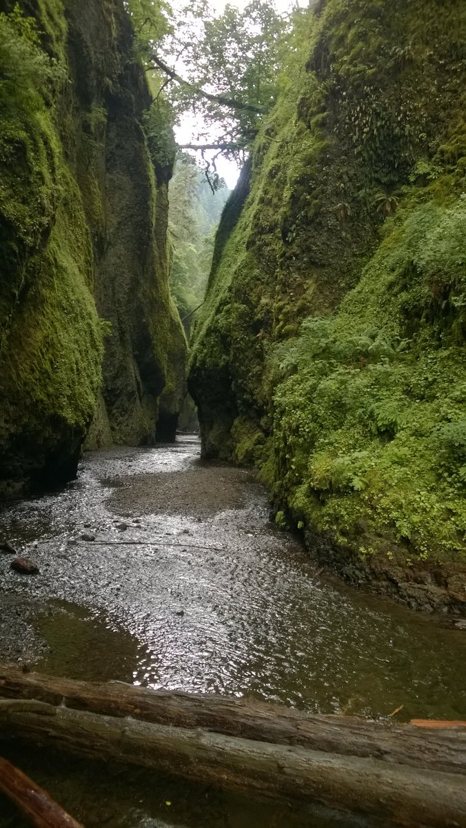
Oneonta Gorge
1 miles of hiking • 0' elevation gain • 2 nights
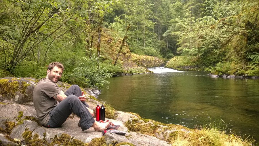
Total touristy car-camping weekend. We stayed at Beacon Rock. Visited a bunch of places around Hood River, like the breweries, Bonneville Dam (from both WA and OR sides) and Vista House. While we were there we couldn't pass up the opportunity to explore Oneonta Gorge. Water was higher this time than shortly earlier in the season. Not too cold, and we were safe with chacos and a drybag for the camera. Super fun time.
June 28 – June 30, 2014

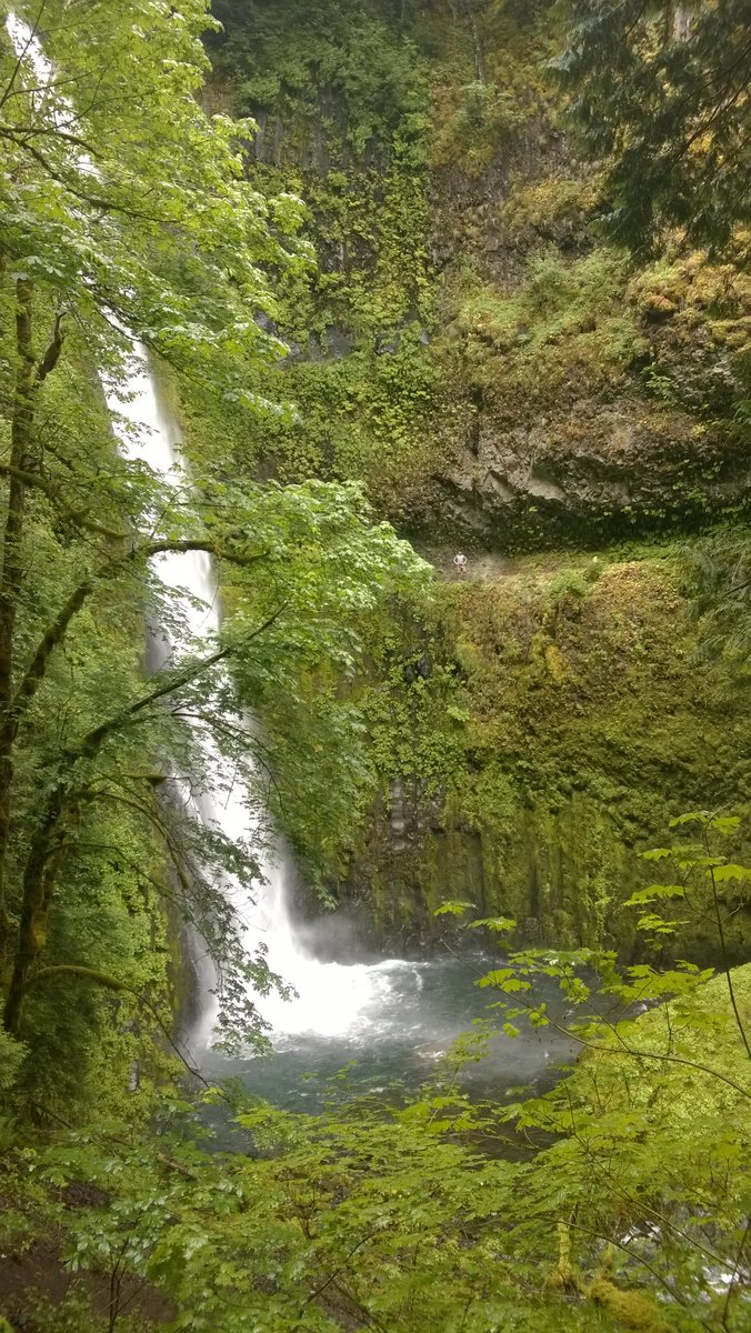
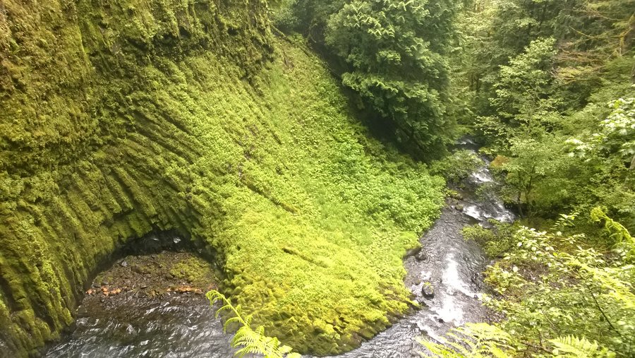
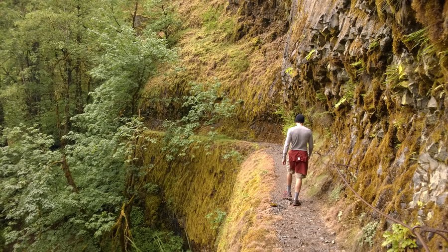
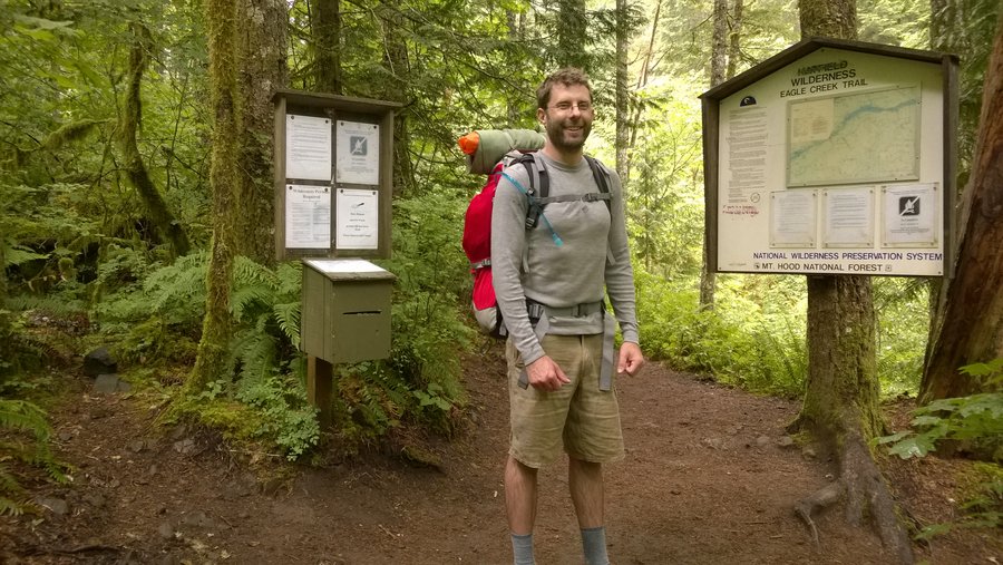
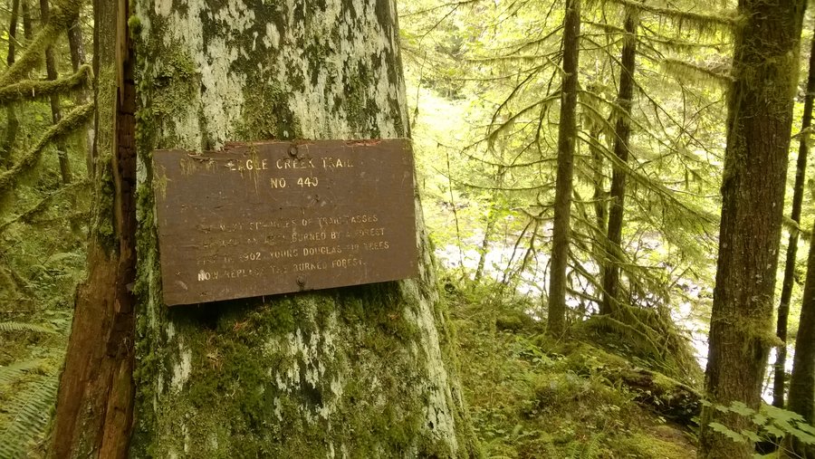
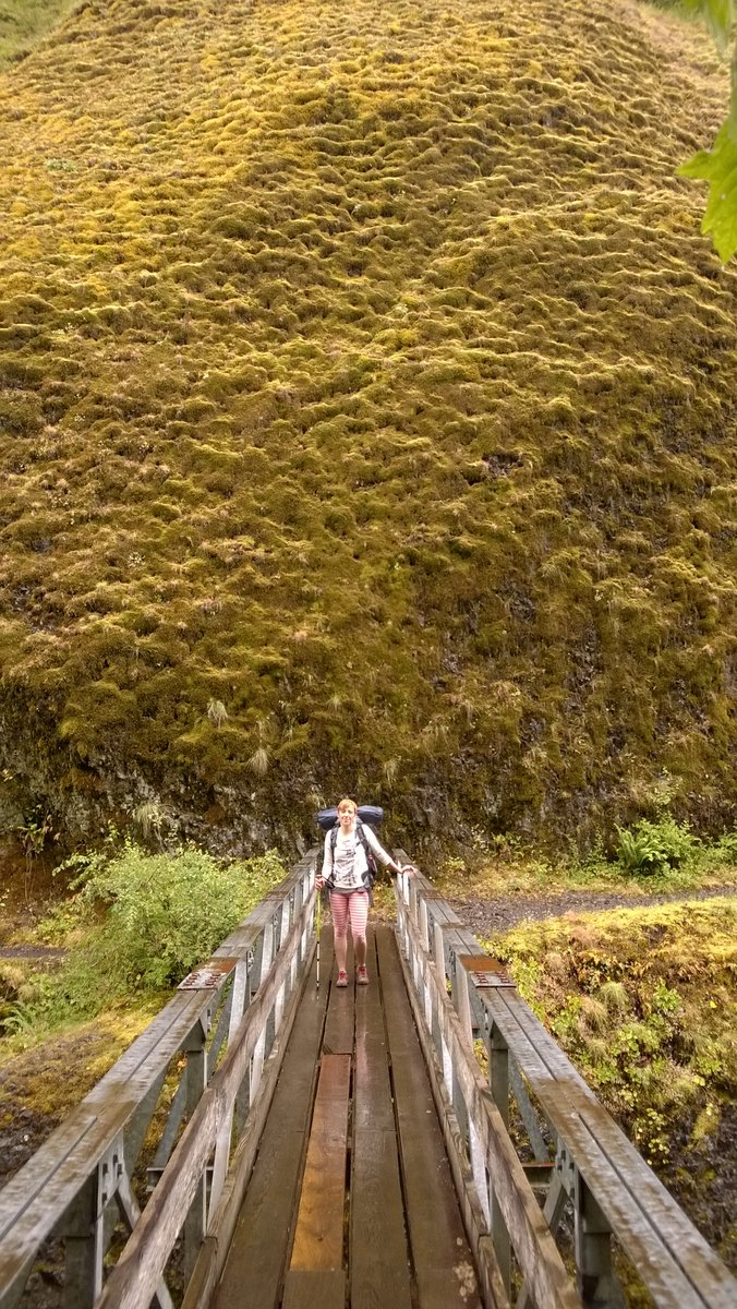
Eagle-Benson Loop Hike
20 miles of hiking • 4250' elevation gain • 2 nights
Arrived at the Gorge later in the day, and car camped at Beacon Rock. Took off on this hike the next morning. Lots of cars at the trailhead, got the last spot before cars had to go to overflow. The trailhead isn't the clearest to find, but we asked some folks heading the same direction. Not a lot of people on the trail itself. Passed a group of 3 on the way up, and everyone else was going down. It's quite a burn in terms of elevation gain! Right at the point where we were losing it we go to the plateau. Awesome views on the way, and some unique stuff like the Indian wells. The plateau was gorgeous. Shrouded in fog, mysterious. We weren't sure how far we'd feel like hiking, and thought about staying at Smokey Camp, but felt energetic and kept going. The hike down from the plateau to the Eagle Creek Trail was totally overgrown. Chest-high bush. Lots of beautiful birds. Steep, and obviously hard to see the trail. It was a riot getting down though. We turned left on Eagle Creek Trail and picked a camp pretty close to the junction, since we weren't sure how busy it would be. We swam a bit, water was manageable. The next morning we left our packs and explored out to Tunnel Falls (amazing!). We hiked the 6 or so miles back to the trailhead and were out by lunch. Eagle Creek Trail was busy, but not mobbed. Great hike.
June 14 – June 16, 2014


Long's Pass
6 miles of hiking • 2250' elevation gain • 1 night
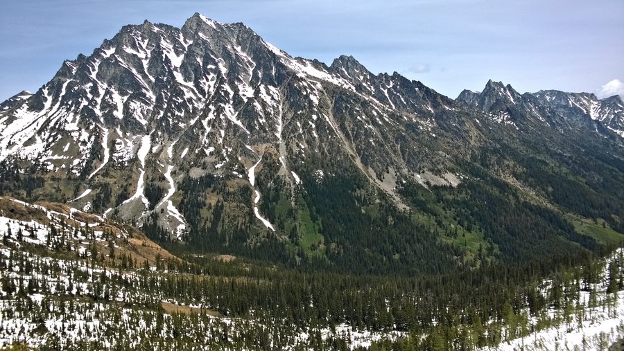
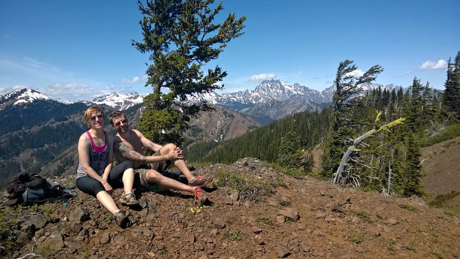
Short day hike, with a good vertical gain challenge. Hiked with a big group, including two dogs. Lots and lots of snow on the trail in June. Finding the trail was basically impossible, and the area is too heavily trod to follow tracks. Basically you can see the pass and you aim for it as best you can. I'm sure we made it much harder for ourselves by not doing as many switchbacks as the normal trail has. The view at the top is really great. Full-on Mount Stuart. Climb above the pass for a rocky ridge that's good for lunch. We glissaded 100s of feet on the way down for a laugh and a faster descent. Car camped with a big group at 29 Pines campground for two nights. I think it's free.
June 8 – June 9, 2014

Yellow Hill and Elbow Peak
11 miles of hiking • 2750' elevation gain • 1 night
Good day hike! Not terribly long, but a good workout. Early in the season there was still quite a bit of snow above Yellow Hill. We also encountered some dirt motobikers lower on the trail. The trail is rough, and steep. Took us longer to get to Yellow Hill than expected. Yellow Hill isn't all that spectacular, we actually didn't even realize we were there until we noticed the USGS marker. Above that we ended up off trail a bit, because of the snow. Caught back up with the trail to cross the saddle/ridge to get to Elbow. That part of the hike was the best, very nice scenery. Elbow peak has good views, feels like a good achievement after the long hike. Great fun glissading below the peak. Car camped with a big group at 29 Pines campground for two nights. I think it's free.
June 7 – June 8, 2014

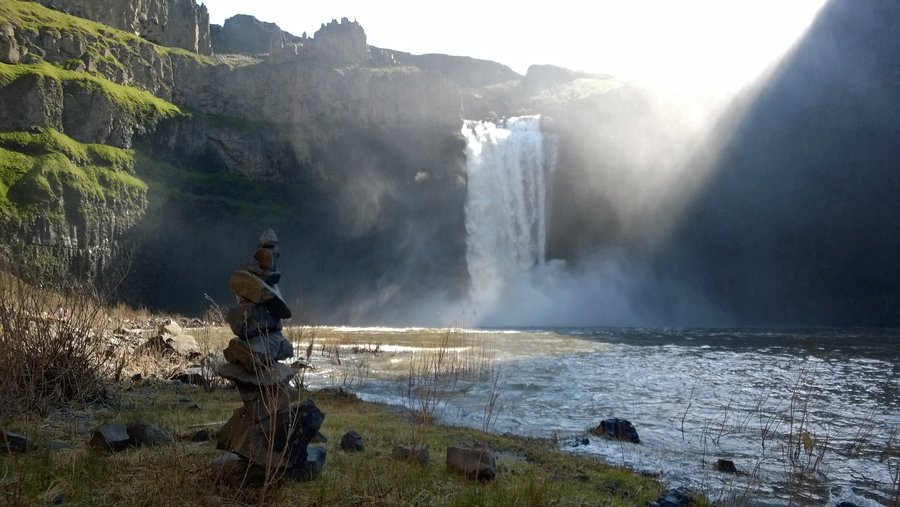
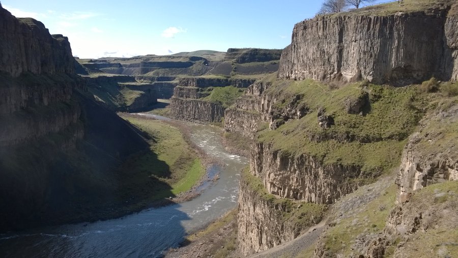
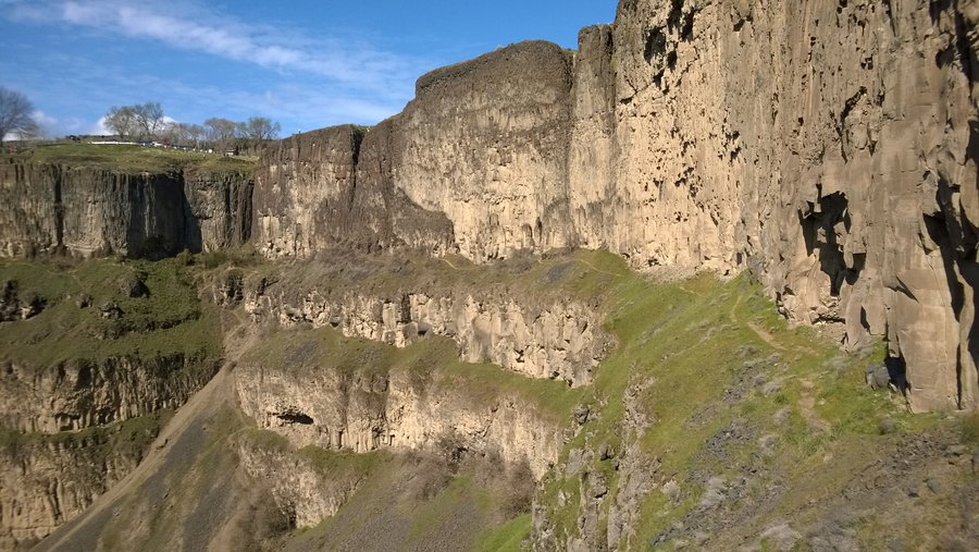
To the Bottom of Palouse Falls and Back
4 miles of hiking • 1000' elevation gain • 1 night
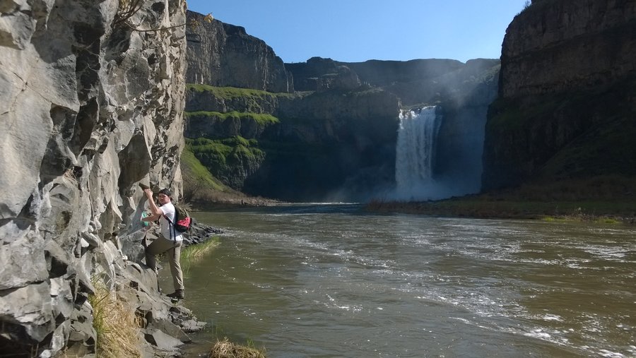
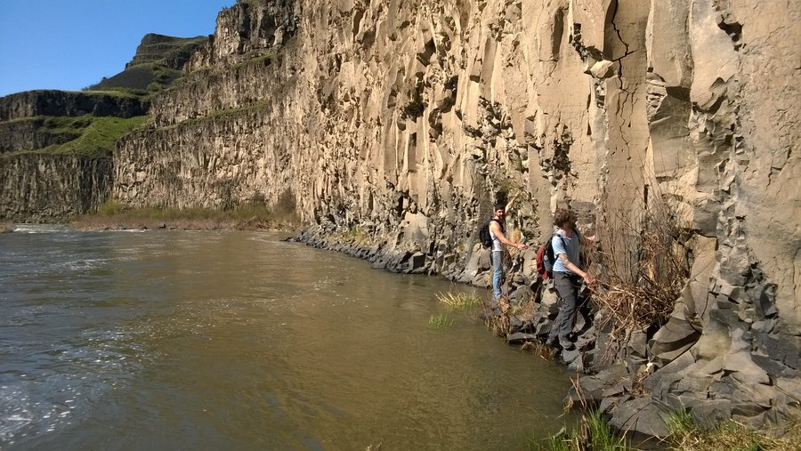
Going down to the bottom of the falls isn't officially a trail. We spoke with a ranger who explained some ways of doing it, but you're responsible for yourself, and it's not 100% safe. We walked along the tracks and then turned left to scrambled down a rough pile of rocks. At the bottom, we had to push through some brush to make it to the edge of the river. In April the water is definitely high! We made it to the falls by clinging to the vertical rocks along the river, shimmying across. The waterfall was just surging! I had no idea it was even out there. Pretty spectacular. To get back, we scrambled up the very dry & steep dusty trail right near the base of the falls. It was tough, two steps forward, one step back. Be careful here, because there are rattlesnakes. Once at the edge of the ridge, it's easy to follow the "trail" back to the normal place people access the falls up top. Spent the night at the small campground right at the falls.
April 6 – April 7, 2014

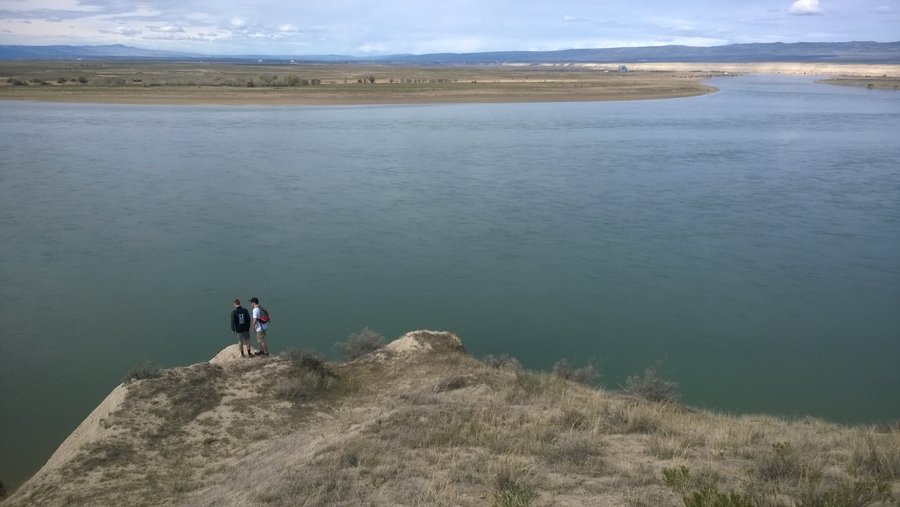
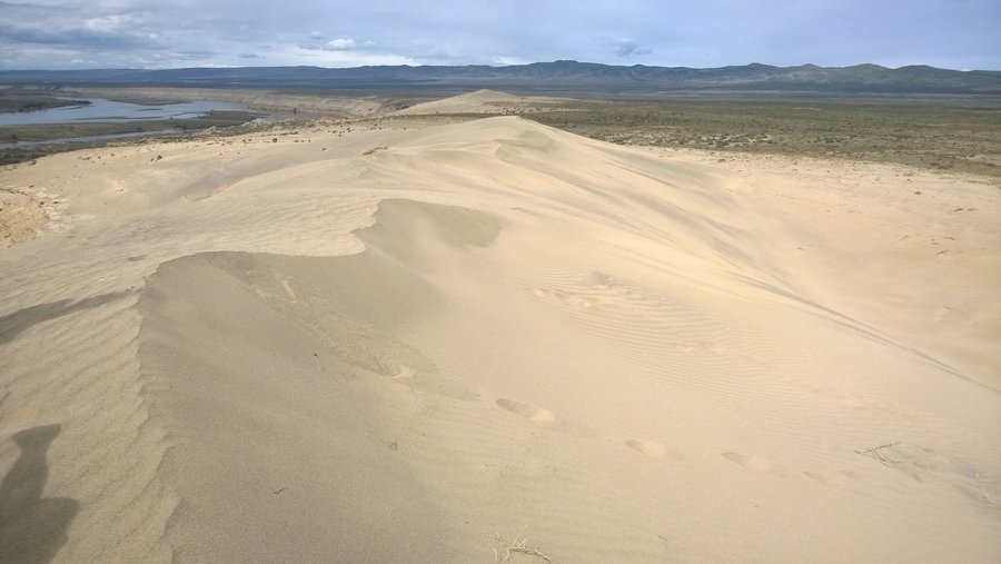
White Bluffs
4 miles of hiking • 250' elevation gain • 1 night
Spent the night close to Vantage, then drove out here for a little hiking. Trails are very unclear, but the area is easy to explore. Expansive views, tumbleweeds, and sand.
April 5 – April 6, 2014


View trips from: 2014