2013 Trips

 1
1
Wygant Trail
6 miles of hiking • 750' elevation gain •
This was the first trip of the year for me after a long hiatus. I was looking for a moderate hike to test out long stored gear and long stored legs. The day could not have been better with nearly 85 degrees at mid-day. Not surprisingly there was a bit of humidity and a few more bugs than anticipated.
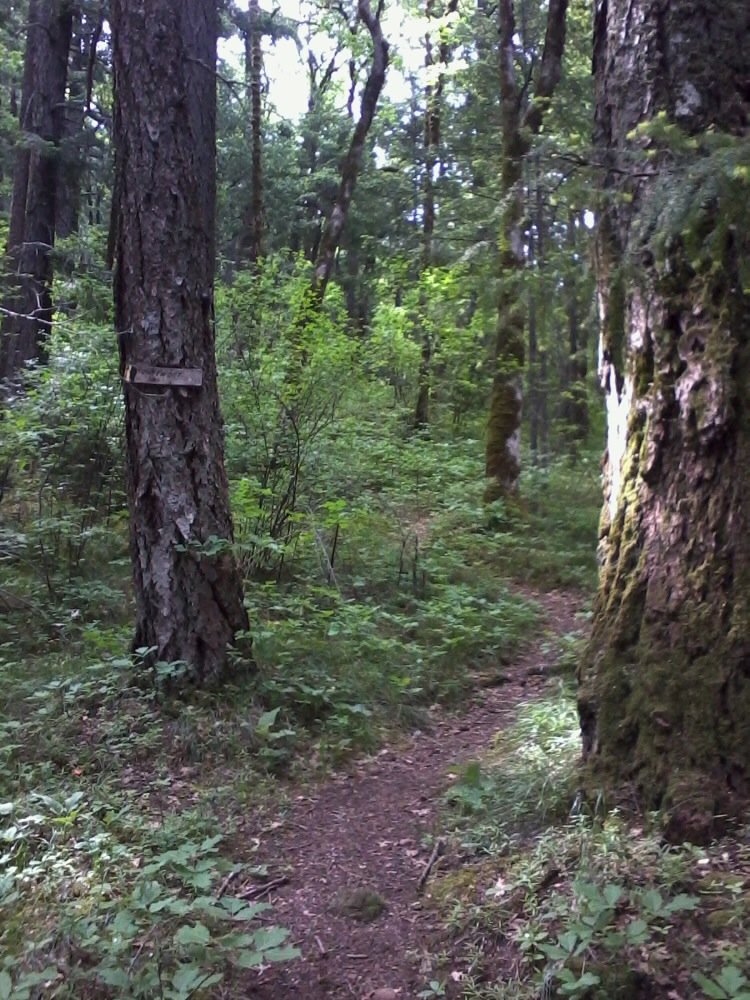
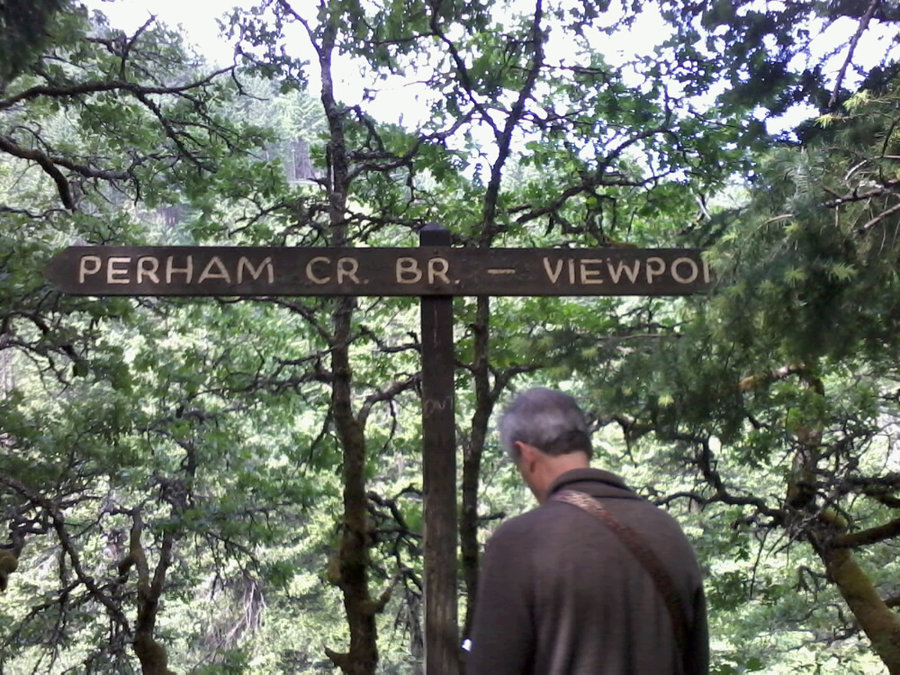
Note that this hike begins on the Oregon side of the Columbia at the Mitchell Point exit #58 (formally Lausman State Park) about 14 miles east of Cascade Locks and 5 miles west of Hood River. If you are traveling from Hood River you will need to take Exit 56 and double back about 2 miles. Last year on my way to Hood River, I had noticed that this exit was closed and under repair. It is now a brand new and extremely nice - for trail head parking. With that said, I was a little surprised that the Wygant trail was not maintained. Spend a few hundred thousand to repave, install new facilities, etc.. I know that it is mostly to service Mitchell Point but still.
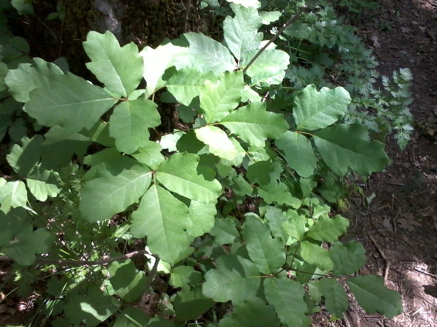
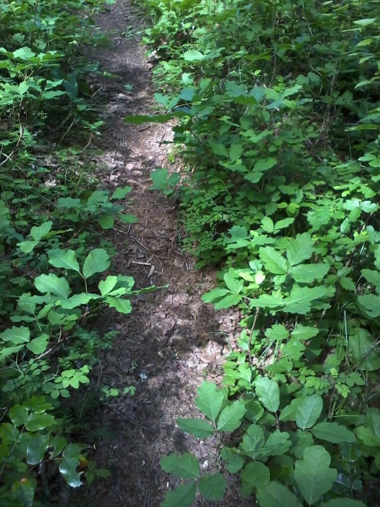
The trail begins at the north end of the parking lot - walk back toward 84 and it will be on your left with a partially obscured sign. It is a simple walk the first third of a mile or so until you reach a junction and begin a slight uphill walk along a creek. I noticed right away that the trail had not been maintained well and I quickly remembered that at this low elevation poison oak flourishes! Yep, this was a shake-down hike for me - how could I forget some trails are jammed with the stuff!?
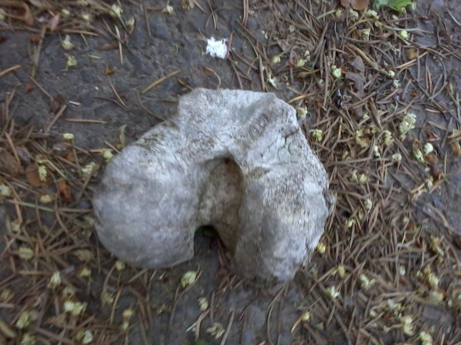
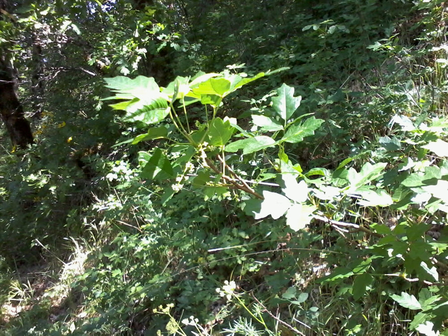
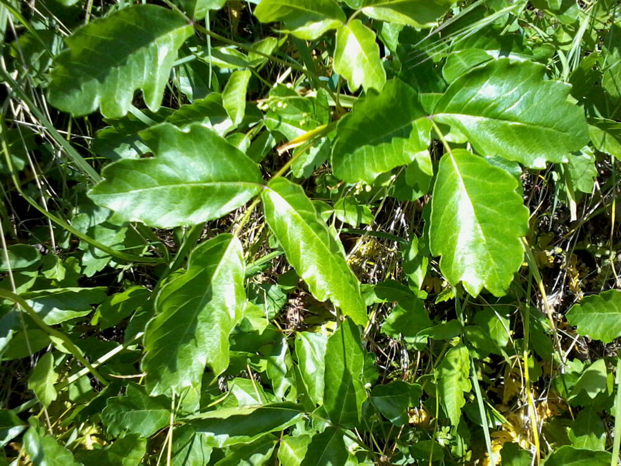
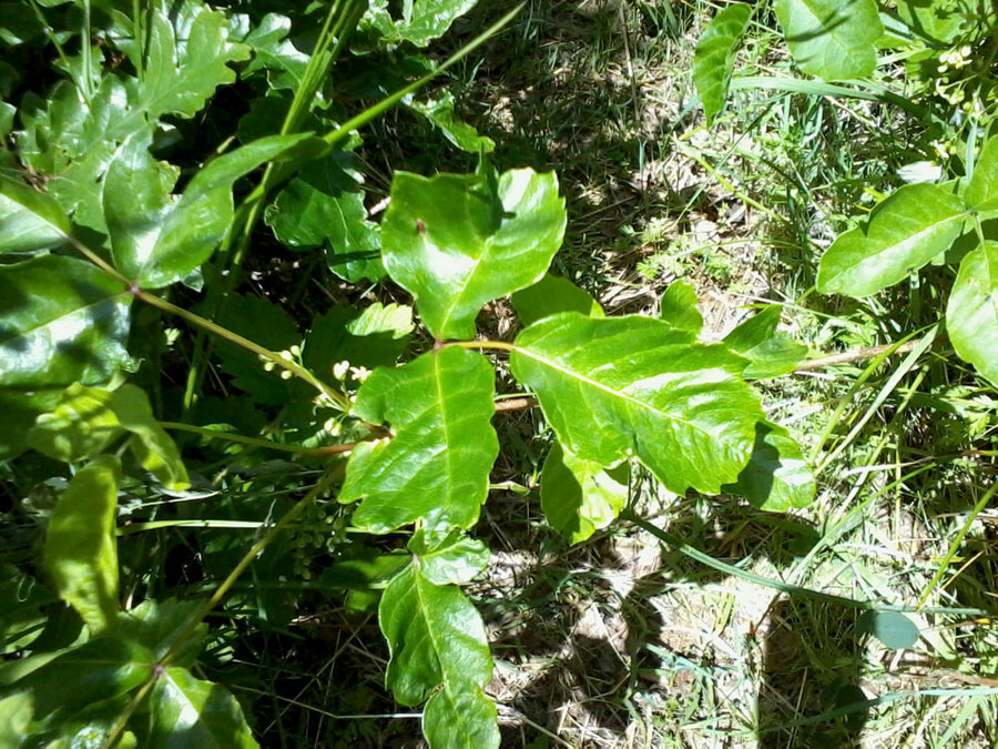
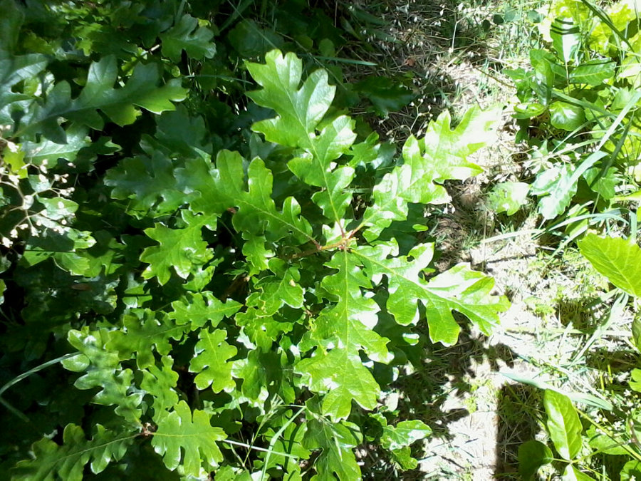
I have attached a few pictures for those that don't know or forget what oak looks like. I ran into two people I met along the trail who had no idea what poison oak looked like and had sat down in a patch of it. I told them, "you are sitting in poison oak, you may want to get up and sit somewhere else." Luckily they were in long pants but I am sure their hands and arms were exposed.
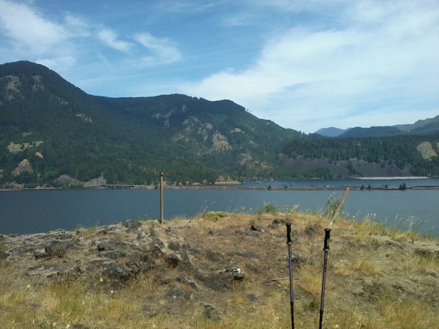
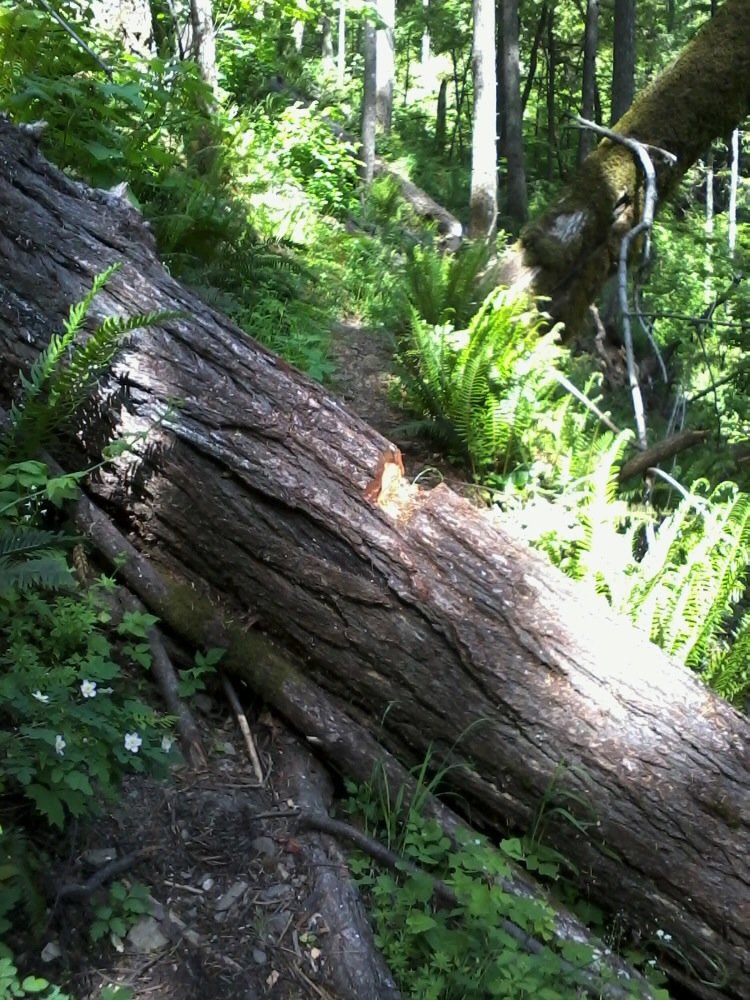
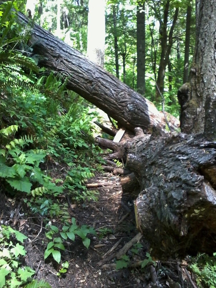
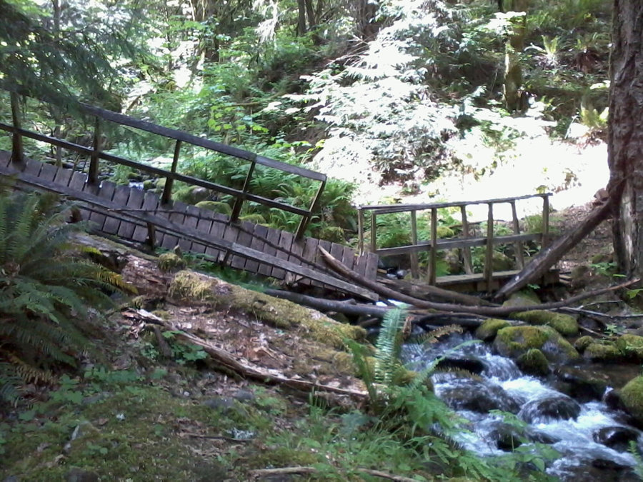
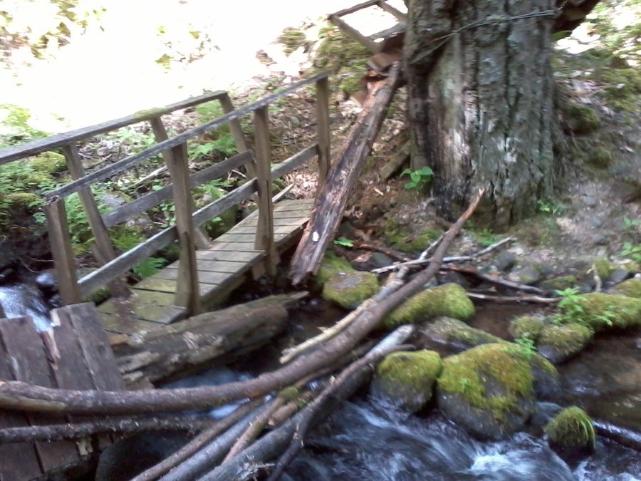
My normal hiking speed averages about 2.5 mph but on this trail I was averaging a little less than half that. This trail is rated as moderate and I would rate it the same after you begin ascending if it were not for the massive amount of winter blow-down. For the first mile or so I would guess I had to cross (over, under, or around) about two dozen trees. At about mile one there is a nice bridge that crosses Perham Creek which had been mostly overturned and demolished by what I would have to guess was winter storm waters. The creek did not look big enough - even when I imagined winter conditions - to crush the bridge as I had found it (see photos).
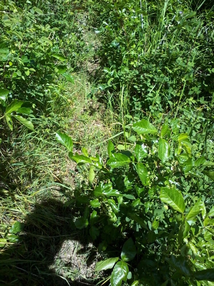
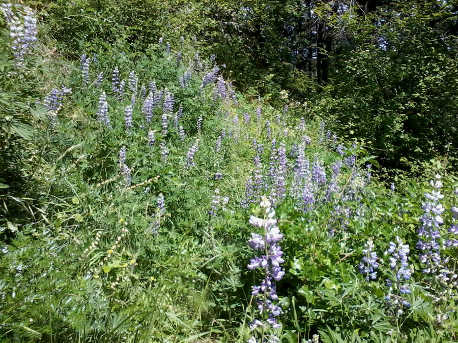
Continuing on, the trail became more and more dense with over growth (both the pretty purple/blue lupine and the wonderful poison oak) - as the trail became more dense, chest high brush forced me to change. I decided to put on both my rain shell top and bottom so that I would not end up scratching all night and for the next two weeks. I stopped at the overlook at about the mile and a half mark and took a few shots.
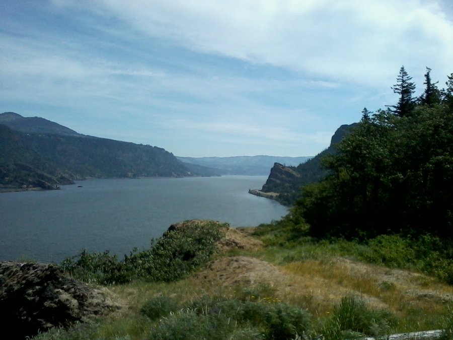
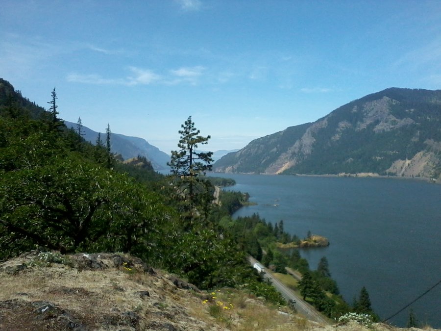
From the overlook, there are a series of switches that take you to another nice viewpoint in another mile and a half. I understand from the trail guide that the trail continues to Wygant peak but the path beyond this second viewpoint is in disrepair with washouts etc.. I climbed and continued on the circuit with more fallen trees crossing the path and more dense foliage.
After a few more miles of walking in my rain shell on this beautiful 85 degree day, I felt like I was a high school wrestler trying to lose enough water weight to make it into the lower weight classification!
I did not want this post to be a bitch-fest but I had to be honest about the trail conditions and what one can expect if they try this one out. I am glad that I did it, but I think that there are plenty other hikes with better conditions that the Gorge can offer.

May 11, 2013

.jpg)